Elevation map of California, USA
Location: United States >
Longitude: -119.41793
Latitude: 36.778261
Elevation: 145m / 476feet
Barometric Pressure: 100KPa
Elevation Map:
Satellite Map:
Related Photos:
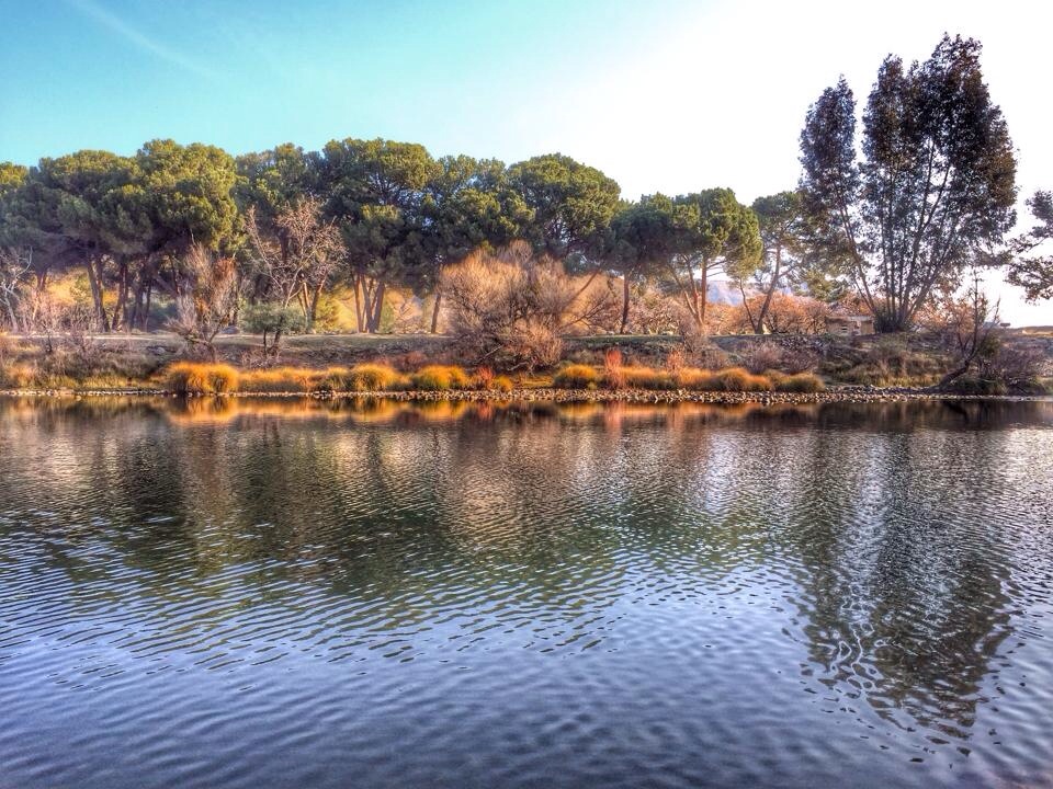
Winton Park River View
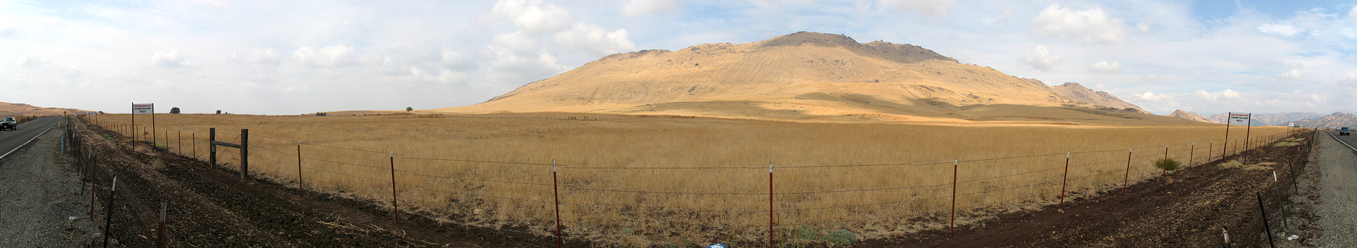
Along the 180
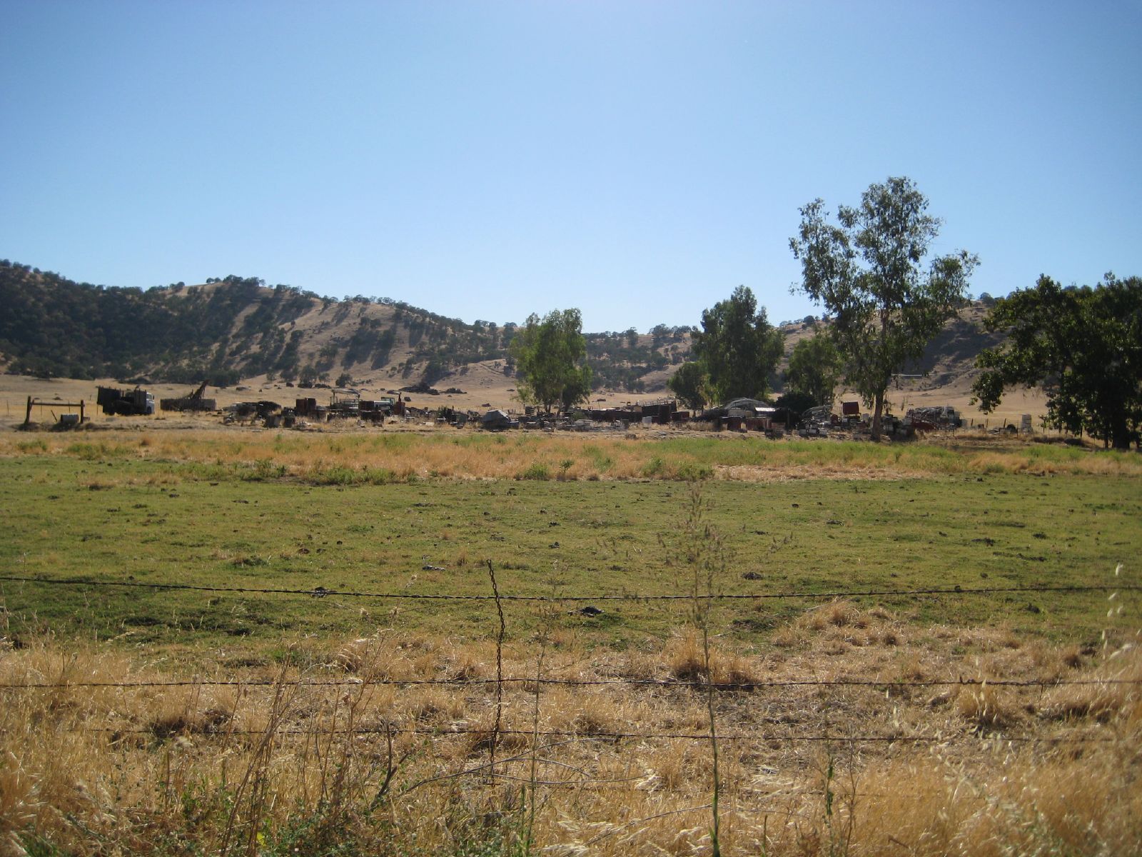
ValleyEx (254)

ValleyEx (255)
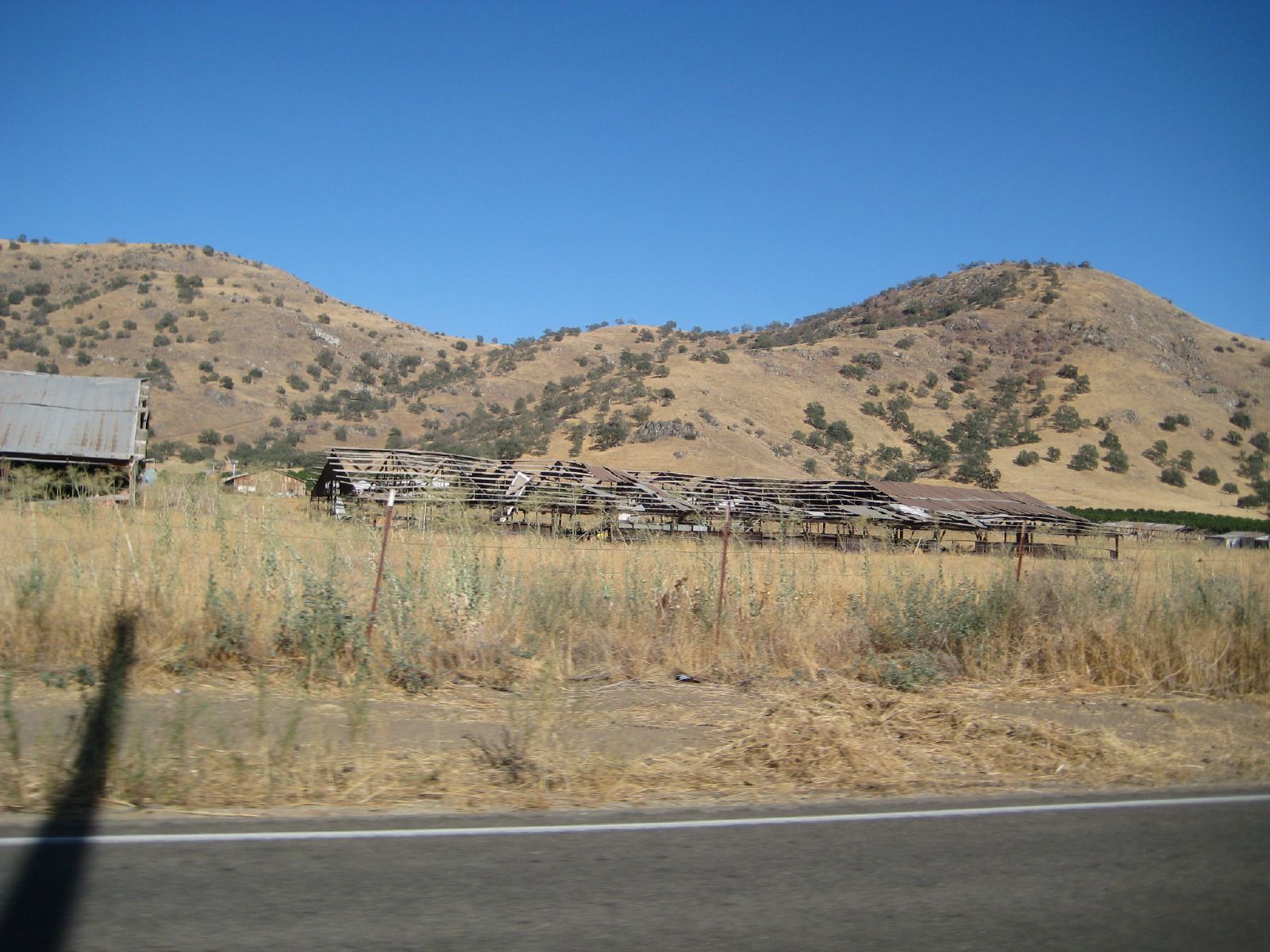
old farmstead
Topographic Map of California, USA
Find elevation by address:

Places in California, USA:
Los Angeles County
San Diego County
Santa Clara County
Sacramento County
Butte County
Orange County
Alameda County
San Bernardino County
Riverside County
Contra Costa County
San Mateo County
Kern County
Placer County
Madera County
San Francisco County
El Dorado County
San Joaquin County
Sonoma County
Shasta County
Humboldt County
Sutter County
Fresno County
Nevada County
Santa Barbara County
Mendocino County
Mariposa County
Tulare County
Ventura County
Monterey County
Santa Cruz County
Tuolumne County
Marin County
Napa County
San Luis Obispo County
Calaveras County
Stanislaus County
Yuba County
Solano County
Lake County
Mono County
Amador County
Siskiyou County
Yolo County
Alpine County
Plumas County
Truckee
Imperial County
Tehama County
South Lake Tahoe
Sierra County
Kings County
Inyo County
Modoc County
Trinity County
Mill Valley
Merced County
Del Norte County
Bishop
Ukiah
Arnold
San Benito County
Shaver Lake
Glenn County
Colusa County
Maricopa
Susanville
Markleeville
Pinecrest
Covelo
Trinity Center
Big Pine
Chester
Dixon
Inyokern
Red Bluff
Montague
Wrightwood
Adin
Mill Creek
Lassen County
Mount Baldy
Calpine
Mad River
Canoga Park
Aguanga
Independence
Doyle
Likely
Platina
Happy Camp
Seiad Valley
Igo
Beckwourth
Janesville
Ravendale
Litchfield
Eagleville
Loyalton
Ukiah
Big Bar
Places near California, USA:
21143 E Weldon Ave
N Piedra Rd, Sanger, CA, USA
Elwood Rd, Sanger, CA, USA
E Kings Canyon Rd, Sanger, CA, USA
Pine Flat Rd, Sanger, CA, USA
California 180
S Reed Ave, Sanger, CA, USA
S Reed Ave, Sanger, CA, USA
E Olive Ave, Sanger, CA, USA
7832 Buckhorn Dr
6450 Elwood Rd
30367 E Trimmer Springs Rd
6955 Morain Dr
Watts Valley Road
32301 E Trimmer Springs Rd
14955 Oak Knoll Ln
Pine Flat Lake
36000 E Trimmer Springs Rd
27598 Oak Flat Ln
Squaw Valley
Recent Searches:
- Elevation of Corso Fratelli Cairoli, 35, Macerata MC, Italy
- Elevation of Tallevast Rd, Sarasota, FL, USA
- Elevation of 4th St E, Sonoma, CA, USA
- Elevation of Black Hollow Rd, Pennsdale, PA, USA
- Elevation of Oakland Ave, Williamsport, PA, USA
- Elevation of Pedrógão Grande, Portugal
- Elevation of Klee Dr, Martinsburg, WV, USA
- Elevation of Via Roma, Pieranica CR, Italy
- Elevation of Tavkvetili Mountain, Georgia
- Elevation of Hartfords Bluff Cir, Mt Pleasant, SC, USA