Elevation map of Humboldt County, CA, USA
Location: United States > California >
Longitude: -123.86950
Latitude: 40.7450055
Elevation: 232m / 761feet
Barometric Pressure: 99KPa
Elevation Map:
Satellite Map:
Related Photos:

Clay-colored Sparrow
Land of Dreams

Clay-colored Sparrow

Clay-colored Sparrow
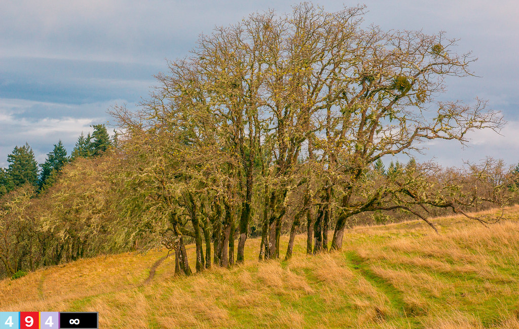
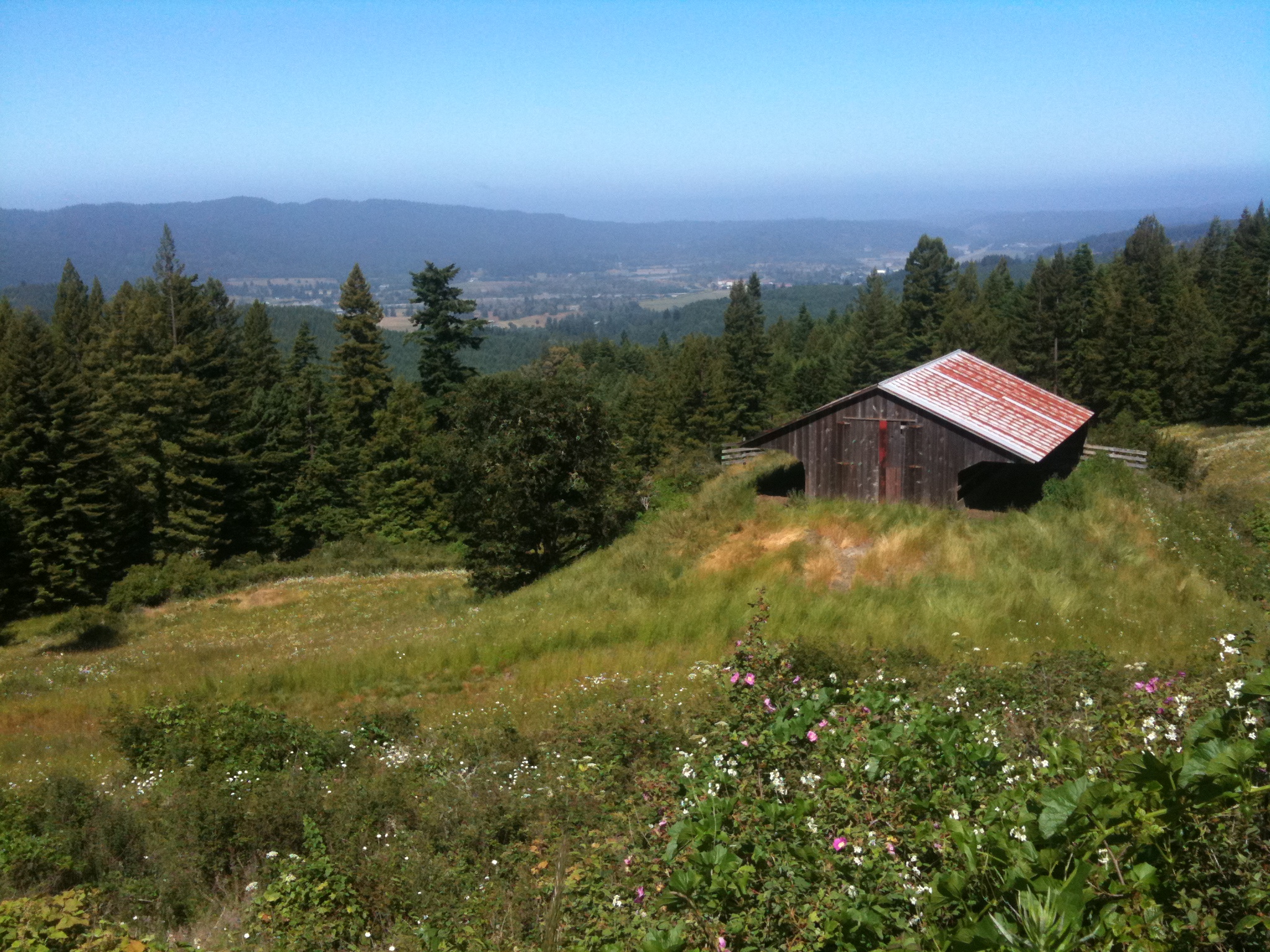
Eureka from above Kneeland

Western Wood-pewee
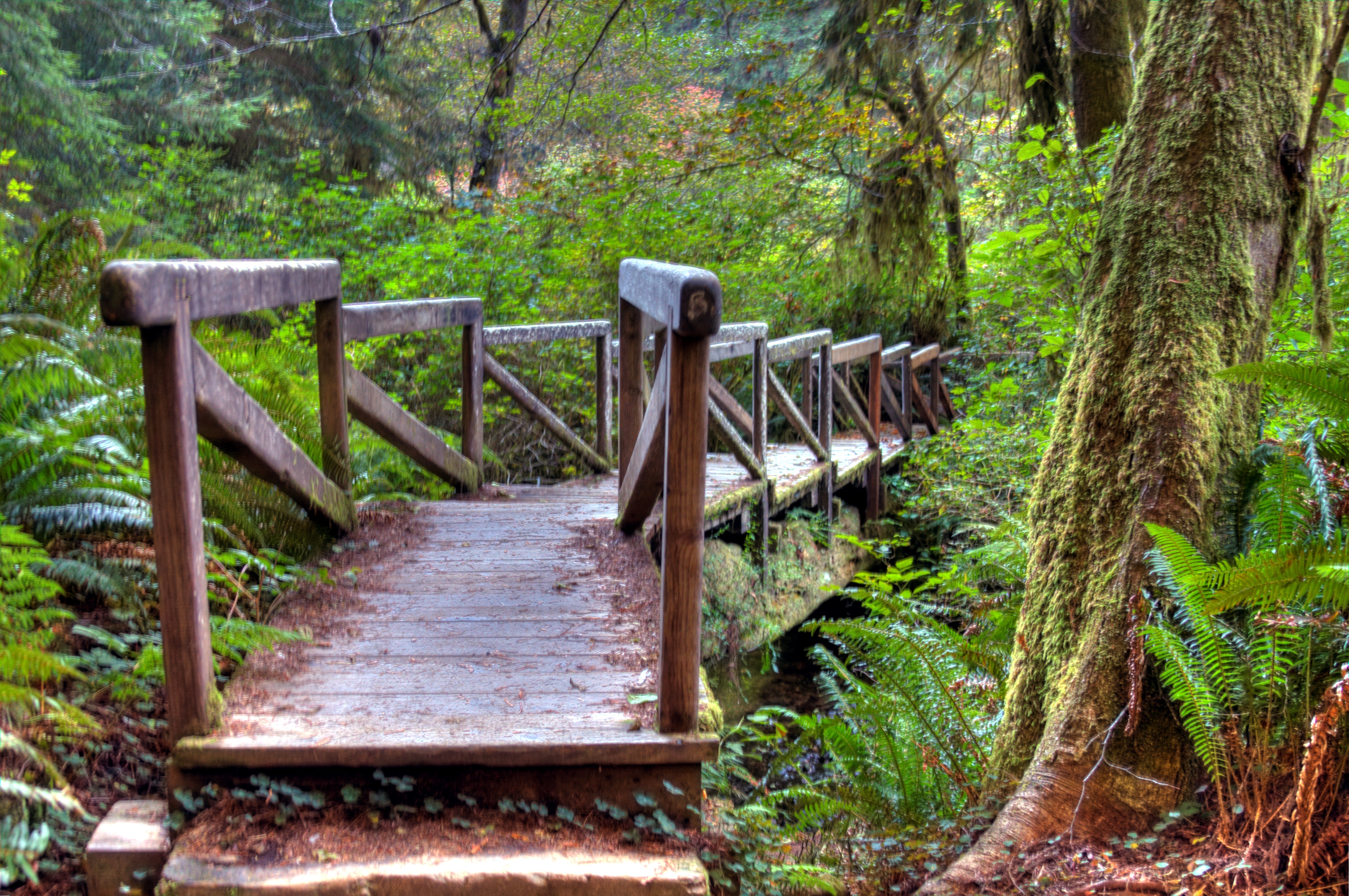
Redwood National Forest Bridge Stairs

A Humboldt County State of Mind

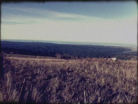
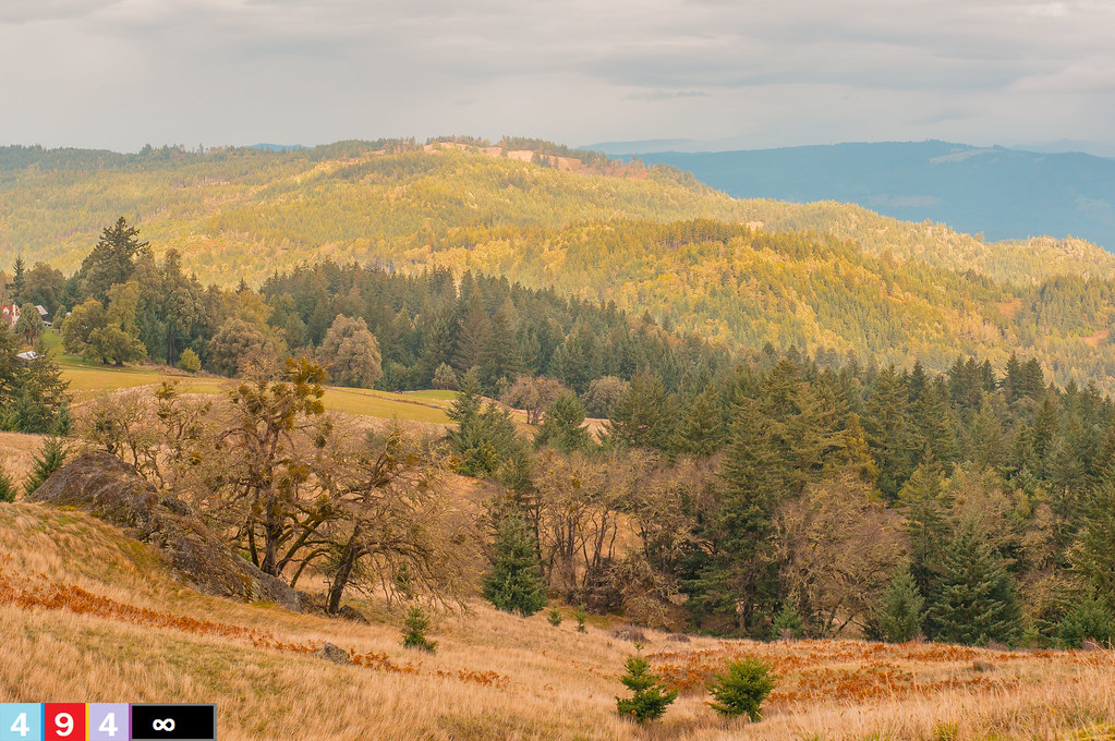
From Horizon To Horizon
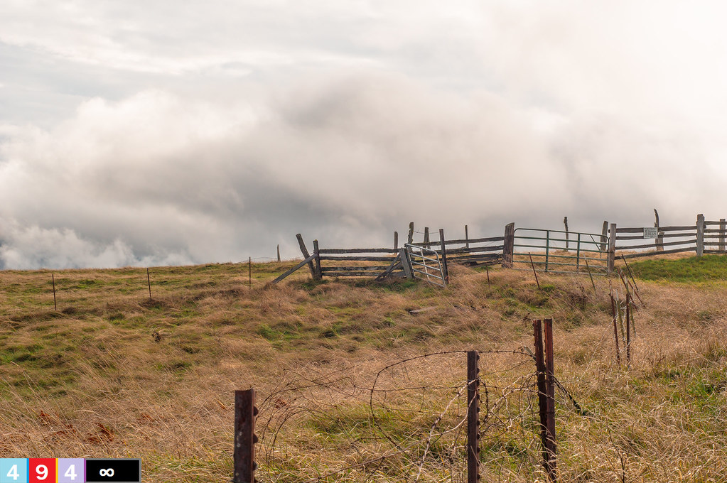
Summit At A Crancher Ranch
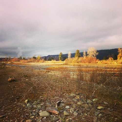
Literally in the middle of nowhere
Unruffled God's Country
Even on cold, ugly winter days the heavens open up for a moment and the sun warms us. Love this place.

There may be a slight crisp in the air, but I'm still grateful for this gorgeous sunny day! #humboldt #tuesday
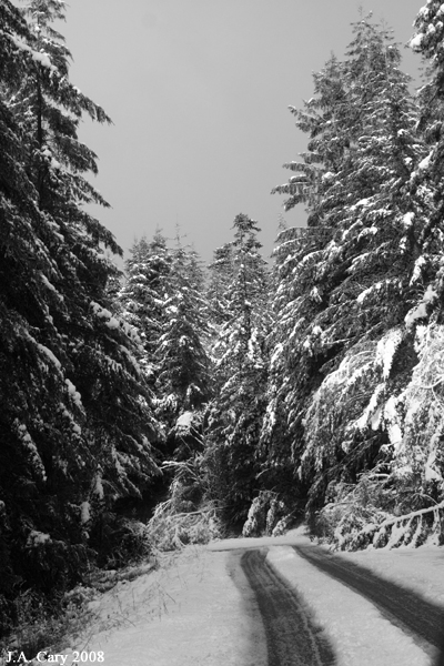
Snowy road
I love this place. Delaware sucks

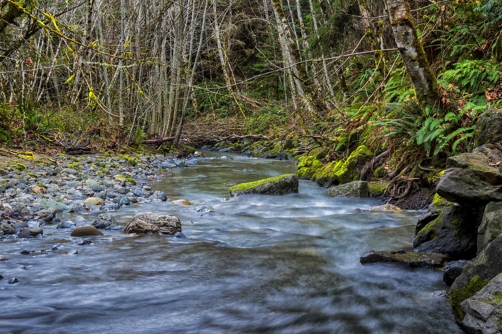
Kneeland excursion-14
Kneeland excursion-18
Kneeland excursion-10
Kneeland excursion-17

Kneeland excursion-25
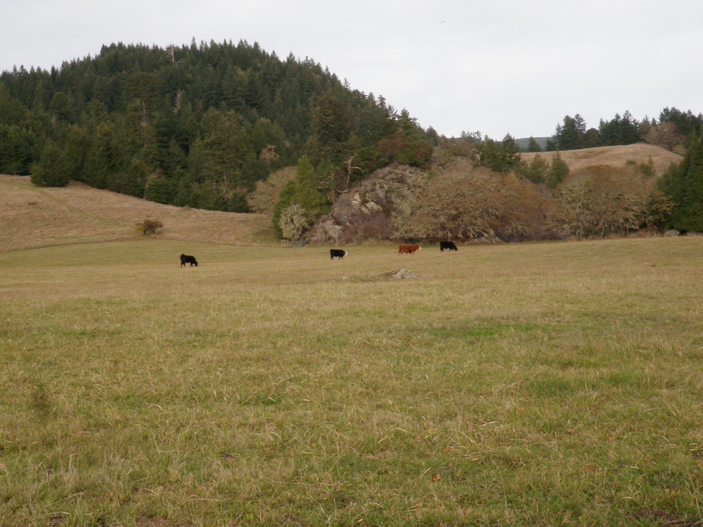
Kneeland excursion-26
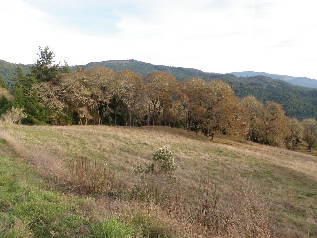
Kneeland excursion-08
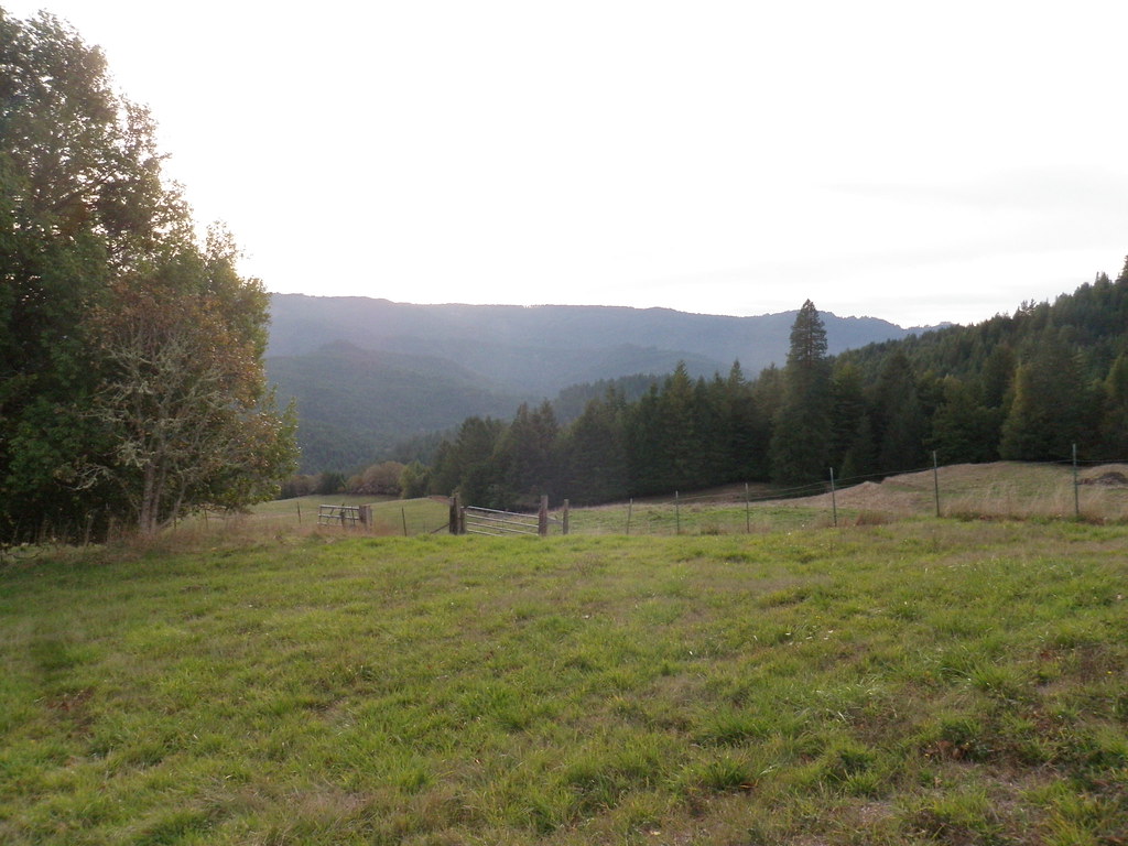
Kneeland excursion-19
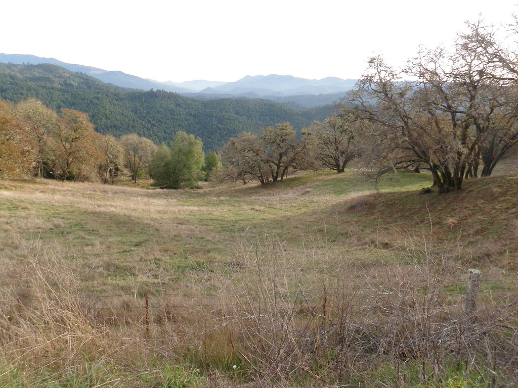
Kneeland excursion-07
Kneeland excursion-22
Topographic Map of Humboldt County, CA, USA
Find elevation by address:

Places in Humboldt County, CA, USA:
Eureka
Fortuna
Arcata
Mckinleyville
Garberville
Rio Dell
Ferndale
Trinidad
Whitethorn
Willow Creek
Myers Flat
Alderpoint
Carlotta
Orleans
Redcrest
Samoa
Korbel
Bayside
Loleta
Scotia
Ridgewood
Hydesville
Petrolia
Kneeland
Humboldt Hill
Orick
Blocksburg
Honeydew
Phillipsville
Weott
Eureka-arcata-fortuna, Ca
North Trinity Mountain
Empire Ave, Redway, CA, USA
Blue Lake
Manila
Cutten
Woodside Road
Hoopa
Redway
Notchko
Places near Humboldt County, CA, USA:
Eureka-arcata-fortuna, Ca
Maple Creek Rd, Korbel, CA, USA
7840 Mountain View Rd
7500 Kneeland Rd
Kneeland
Garfield
Freshwater Rd, Eureka, CA, USA
98 Foster Rd
2110 Freshwater Rd
Headwaters Forest Reserve
2951 Woodgulch Rd
2951 Woodgulch Rd
4815 Cummings Rd
2540 Cypress Ave
2461 Cypress Ave
4067 Cedar St
2452 Bainbridge St
4127 Walnut Dr
4049 Walnut Dr
Cutten
Recent Searches:
- Elevation of Corso Fratelli Cairoli, 35, Macerata MC, Italy
- Elevation of Tallevast Rd, Sarasota, FL, USA
- Elevation of 4th St E, Sonoma, CA, USA
- Elevation of Black Hollow Rd, Pennsdale, PA, USA
- Elevation of Oakland Ave, Williamsport, PA, USA
- Elevation of Pedrógão Grande, Portugal
- Elevation of Klee Dr, Martinsburg, WV, USA
- Elevation of Via Roma, Pieranica CR, Italy
- Elevation of Tavkvetili Mountain, Georgia
- Elevation of Hartfords Bluff Cir, Mt Pleasant, SC, USA