Elevation of E Kings Canyon Rd, Sanger, CA, USA
Location: United States > California > Fresno County > Sanger >
Longitude: -119.45812
Latitude: 36.723807
Elevation: 121m / 397feet
Barometric Pressure: 100KPa
Elevation Map:
Satellite Map:
Related Photos:

schwan song

seriousfishin'

metamorphōsis

lost hills

double-cross

herōine

España

rejón de muerte

timeless surrender

lady Jessica

schwan theory

crane flower

black schwan

peat whiskey

divine [explored]

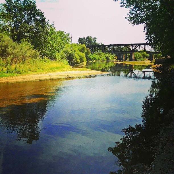
Early sunrise view of the Kings river this morning.

A Nice Day
Sunday #sunset at Hauli Huvila

California Hills

The Tame River

Yosemite &Sacramento
Yosemite &Sacramento

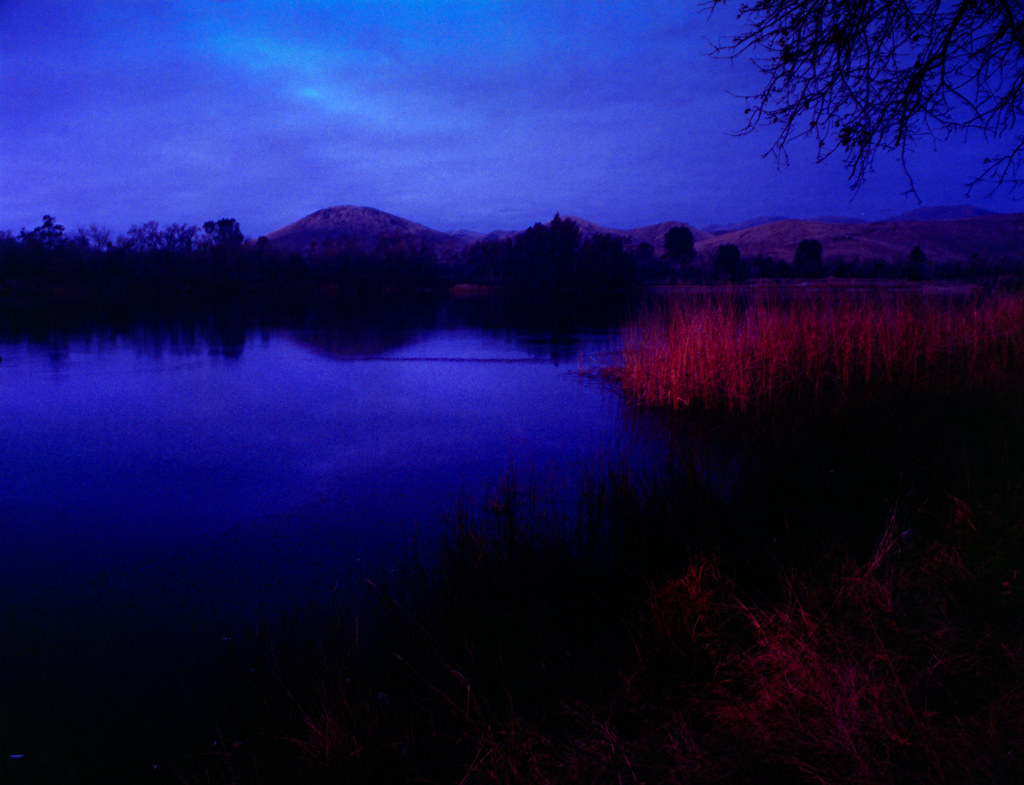
The Kings river on Saturday morning at Hauli Huvila

america.sequioa&kings canyon
america.sequioa&kings canyon
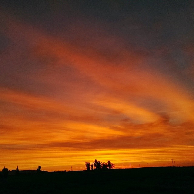
First #sunset of Memorial day weekend at Hauli Huvila
Winton Park River View
Sunset at Hauli Huvila

avocado lake
Hiding Place

Spring Oak
Another #sunset view at #haulihuvila
Kings river at Hauli Huvila
Sun Goes Down on Avocado Lake
Saturday night #sunset at #haulihuvila
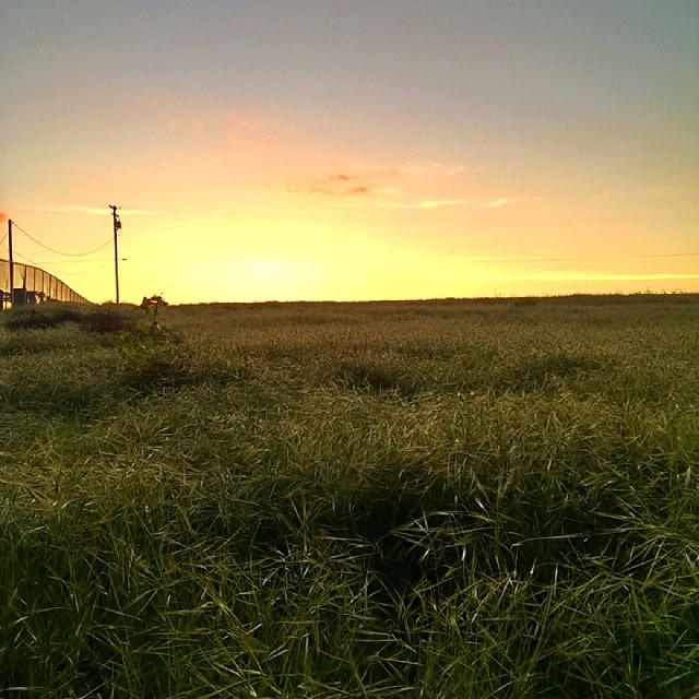
Saturday #sunset at #haulihuvila
Topographic Map of E Kings Canyon Rd, Sanger, CA, USA
Find elevation by address:

Places near E Kings Canyon Rd, Sanger, CA, USA:
S Reed Ave, Sanger, CA, USA
California 180
S Reed Ave, Sanger, CA, USA
21143 E Weldon Ave
California
E Olive Ave, Sanger, CA, USA
N Piedra Rd, Sanger, CA, USA
Elwood Rd, Sanger, CA, USA
Reedley College
G St, Reedley, CA, USA
Reedley
Parlier
Pine Flat Rd, Sanger, CA, USA
6450 Elwood Rd
7832 Buckhorn Dr
14955 Oak Knoll Ln
6955 Morain Dr
Watts Valley Road
Orange Cove
30367 E Trimmer Springs Rd
Recent Searches:
- Elevation of Corso Fratelli Cairoli, 35, Macerata MC, Italy
- Elevation of Tallevast Rd, Sarasota, FL, USA
- Elevation of 4th St E, Sonoma, CA, USA
- Elevation of Black Hollow Rd, Pennsdale, PA, USA
- Elevation of Oakland Ave, Williamsport, PA, USA
- Elevation of Pedrógão Grande, Portugal
- Elevation of Klee Dr, Martinsburg, WV, USA
- Elevation of Via Roma, Pieranica CR, Italy
- Elevation of Tavkvetili Mountain, Georgia
- Elevation of Hartfords Bluff Cir, Mt Pleasant, SC, USA