Elevation map of San Bernardino County, CA, USA

Location: United States > California >

Longitude: -116.41938

Latitude: 34.9592083

Elevation: 788m / 2585feet

Barometric Pressure: 92KPa

Elevation Map:

elevation map of San Bernardino County, CA, USA

Satellite Map:

Satellite map of San Bernardino County, CA, USA

Related Photos:

trona sanbernardinocounty railroadearth dng tronapinnacles
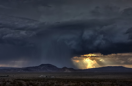
October in the Railroad Earth
california travel light wild vacation sky usa cloud storm nature beautiful rain clouds canon dark landscape photo interestingness amazing interesting october day skies photographer cs2 god picture dramatic lookingup explore wicked adobe calico ghosttown sensational southerncalifornia hdr outofthisworld fury 2010 barstow sanbernardinocounty calicoghosttown photomatix yermo 40d topazadjust topazdenoise photographersnaturecom davetoussaint doublyniceshot doubleniceshot tripleniceshot mygearandme mygearandmepremium mygearandmebronze mygearandmesilver mygearandmegold ringexcellence dblringexcellence photoshoptopazlabs
God Unleashing His Fury - Explored 8/24/2011
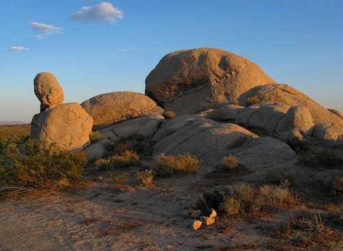
california light sunset shadow outdoors evening interestingness rocks sill desert erosion boulders mojave granite oddities exploration discovery outcropping sanbernardinocounty mojavenationalpreserve desertscape igneousintrusion canonpowershota720is zoniedude1
Rock On
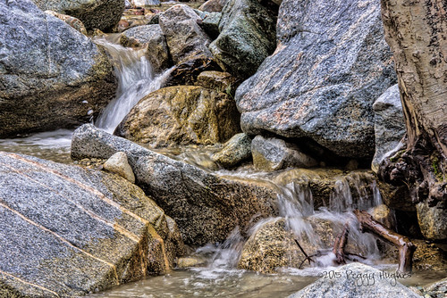
california camping autumn trees lake mountains color nature beauty season relax landscape seasonal pines southerncalifornia peggy campground tranquil riversidecounty ©allrightsreserved lakehemet sanbernardinoforest ©peggyhughes
San Jacinto Mountains
The East Side of Hill 582
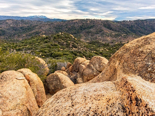
trees sky nature canon landscape outdoors view hiking powershot boulders pines southerncalifornia hps lakearrowhead s100 sanbernardinocounty sanbernardinonationalforest sanbernardinomountains highclouds hundredpeakssection mountmarielouise
South from Marie Louise
CSX On Board
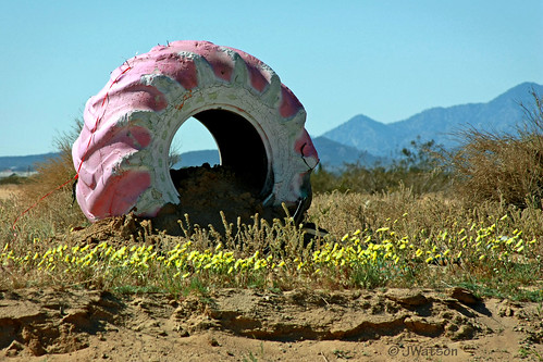
pink daylight photo big desert tire landmark marker roadside tread goodyear viewthrough
Pink Tire
california usa landscape desert hiking joshuatree hike joshuatreenationalpark sanbernardinocounty highway178 route178 ladigue99 isabellawalkerpassroad
California, Route 178
california route66 desert highdesert mojave airforce bagdadcafe mojavedesert newberrysprings rt66 motherroad sanbernardinocounty americanlandscapes generalbob nikon200e
General Bob *
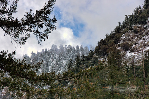
california trees winter terrain mountain nature creek forest landscape rocks stream scenic rocky pines mtbaldy
More Mt. Baldy views
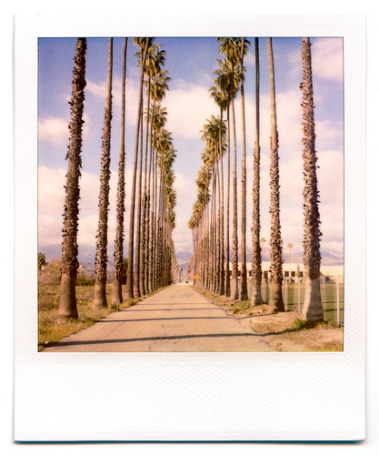
california road street trees palms polaroid sx70 vanishingpoint row palm palmtrees 600 modified citrus oranges agriculture redlands pola polaroid600 groves lineout modded nofilter sunkist timezero landcamera builtin inlandempire polaroidsx70 sanbernardinocounty polaroid779 779 iso640 eyetwist sx70landcamera nond sx70lives sx70uses600or779 eyetwistkevinballuff northredlands
palm trees. north redlands, ca. 2011.
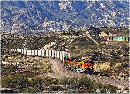
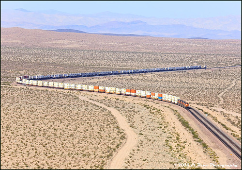
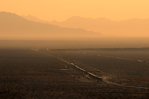
california railroad santafe train canon route66 desert rail trains 66 ludlow ibis socal siberia mojave transportation cadiz homer locomotive ge essex bnsf bagdad klondike mojavedesert roys amboy danby freighttrain sanbernardinocalifornia bannock lavic motherroad goffs sanbernardinocounty emd atsf burlingtonnorthernsantafe dagget es44dc gevo royscafe alltrains stacktrain bnsfrailroad burlingtonnorthernsantaferailroad ashhill hill582 movingtrains deserttrains klienfelter elrocophotography westamboy sanbernardinorailroads eastsiberia forestserviceroad3n45 bnsfneedlessubdivision arrowheadjunction
A Hawk's View of the Bend at M.P. 696
california terrain snow painterly mountains nature forest painting landscape painted digitalart scenic peaks mtbaldy sanbernardinocounty
painted trees
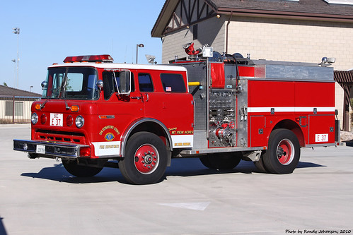
sanbernardinocountyfiredepartmentengine37 bdcengine37 bdcstation315mountainviewacres
BDC Engine 37
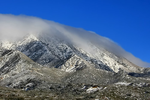
california terrain snow mountains nature forest landscape scenic peaks mtbaldy sanbernardinocounty
Mt. Baldy views
california lakearrowhead aerialphotograph sanbernardinocounty sanbernardinomountains
Aerial view of Lake Arrowhead, San Bernardino County, California
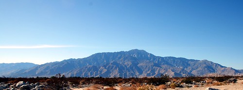
california mountains whitewater view unitedstates wind earth farm pass peak mojave bajacalifornia southerncalifornia sublime santarosa peninsula 1980s range johnmuir windfarm mohave serrano sanjacinto spectacle sanbernardino snowcreek windturbines sangorgonio altamontpass riversidecounty interstate10 santarosamountains sanjacintomountains sr62 sanbernardinomountains sangorgoniopass sanjacintopeak tehachapipass sainthyacinth sangorgoniopasswindfarm ayaqaych peninsularranges stateroute62 californiastateroute62 aviihanupach mohavelanguage mojavelanguage serranolanguage casr62
San Jacinto Mountains and San Gorgonio Pass Wind Farm
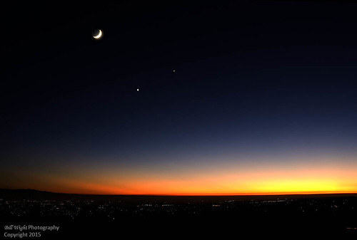
california nightphotography sunset moon venus planets astronomy nightsky jupiter viewing ranchocucamonga sanbernardinocounty celestialbodies conjunction altaloma billwight positionalastronomy
Sunset and Crescent Moon with Planets
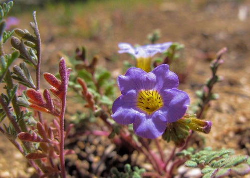
california wild foothills detail macro nature beauty closeup outdoors spring flora desert native socal highdesert wildflowers annual sunlit exploration borage mojavedesert phaceliafremontii boraginaceae sanbernardinocounty sanbernardinonationalforest sanbernardinomountains forgetmenotfamily outinthewild fremontsphacelia zoniedude1 earthnaturelife canonpowershotg12 pspx6 desertspring2015
Phacelia fremontii
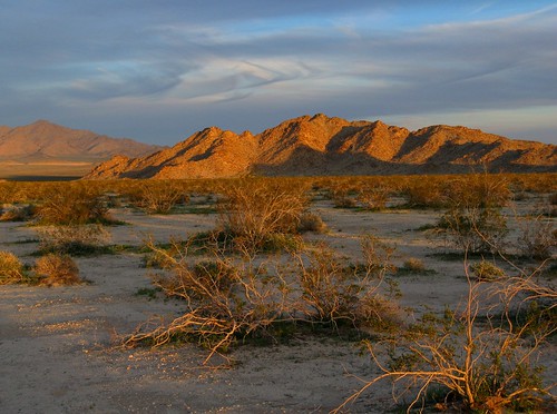
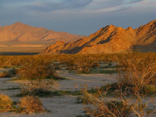
california light sunset sky color nature beauty clouds landscape outdoors evening interestingness desert illumination explore glorious mojave exploration discovery moutains pictureperfect mojavedesert creosote sanbernardinocounty outthere naturesfinest coth canonpowershota720is natureselegantshots absolutelystunningscapes zoniedude1 virtualjourney
Mojave Magic
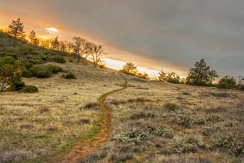
winter sky sun nature canon landscape outdoors flora cloudy hiking path january powershot vegetation southerncalifornia hps s100 inlandempire riversidecounty sanbernardinonationalforest cahuillamountain hundredpeakssection
Towards another day
california railroad train nikon westend searles oxy trona sanbernardinocounty searlesdrylake tronarailway d700
The Great Wide Open
california railroad train sunrise route66 nikon bnsf glint bagdad amboy barstow d300 sanbernardinocounty themotherroad needlessubdivision
The Race
usa southwest unitedstates hiking hike erosion geology geologia joshuatreenationalpark sanbernardinocounty statiuniti hugeboulders jumborocks erosione sudovest graniteboulders ladigue99 massidigranito
Joshua Tree National Park, Jumbo Rocks
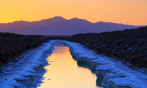
california ca travel blue sunset orange usa reflection nature water field night photoshop canon landscape march photo interestingness interesting pond day glow photographer cs2 dusk salt picture clear explore socal national adobe southerncalifornia crusty chloride 2012 mojavedesert amboy adjust infocus sanbernardinocounty gnd denoise 60d topazlabs colorphotoaward photographersnaturecom davetoussaint ringexcellence gradientnuetraldensityfilter
The Crusty Salt Pond
california ca travel usa nature photoshop canon landscape photo interestingness google interesting day photographer january picture clarity explore socal adobe getty southerncalifornia adjust infocus mormonrocks sanbernardinocounty 2011 cajonpass cs6 denoise highway138 60d topazlabs lonepinecanyon photographersnaturecom davetoussaint
Wild Weather in Lone Pine Canyon
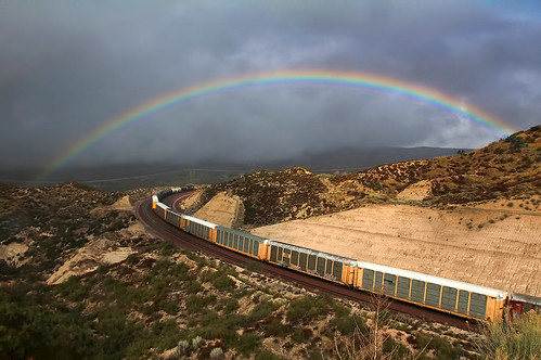
california ca railroad travel usa color nature up rain weather train photoshop canon landscape photo interestingness interesting rainbow track day photographer cs2 cloudy january picture rr explore socal adobe unionpacific southerncalifornia bnsf eb 2012 adjust eastbound infocus sanbernardinocounty burlingtonnorthernsantafe cajonpass cajonsummit denoise 60d topazlabs photographersnaturecom davetoussaint cajonsubdivision mygearandme ringexcellence dblringexcellence
Under the Rainbow
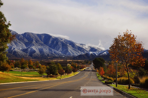
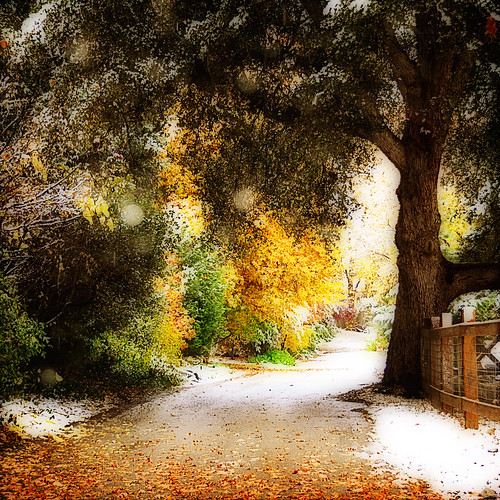
road autumn mountains fall country yucaipa sanbernardino oakglen autumnalequinox
Autumn in the Mountains
california light sunset sky color nature beauty clouds landscape outdoors evening shadows desert illumination explore glorious mojave exploration discovery moutains mojavedesert creosote sanbernardinocounty outthere magnificentdesolation canonpowershota720is zoniedude1 earthnaturelife
Magnificent Desolation
california railroad train nikon basin unionpacific afton mojavedesert d300 sanbernardinocounty yermo aftoncanyon mojaveriver cimasubdivision
An Afton Morning
california autumn winter snow sanbernardinocounty oakglen
I prefer winter and fall, when you feel the bone structure of the landscape - the loneliness of it, the dead feeling of winter. Something waits beneath it, the whole story doesn't show.
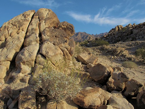
california light sky nature landscape outdoors spring flora rocks solitude quiet afternoon view desert illumination rocky adventure explore gnarly isolation wilderness exploration mojavedesert brittlebush enceliafarinosa sanbernardinocounty outinthewild zoniedude1 earthnaturelife canonpowershotg12 sheepholevalleywilderness heartofthemojave pspx6 sheepholevalley mojaverockscape 1680ftelevation
Mojave Rockscape
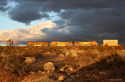
california railroad blue light sun sunlight storm wet rain clouds train dark grey route66 desert diesel rail brush sage locomotive southerncalifornia ge bnsf mojavedesert freighttrain sanbernardinocounty us66 burlingtonnorthernsantafe historicroute66 c449w bnsfrailroad nationaltrailshighway burlingtonnorthernsantaferailroad ashhill siberiaca bnsf1056
Riders on the Storm

Topographic Map of San Bernardino County, CA, USA

Find elevation by address:


Places in San Bernardino County, CA, USA:

Places near San Bernardino County, CA, USA:

Recent Searches: