Elevation of Marshall Peak, California, USA
Location: United States > California > San Bernardino County >
Longitude: -117.30254
Latitude: 34.2102855
Elevation: 1224m / 4016feet
Barometric Pressure: 87KPa
Elevation Map:
Satellite Map:
Related Photos:

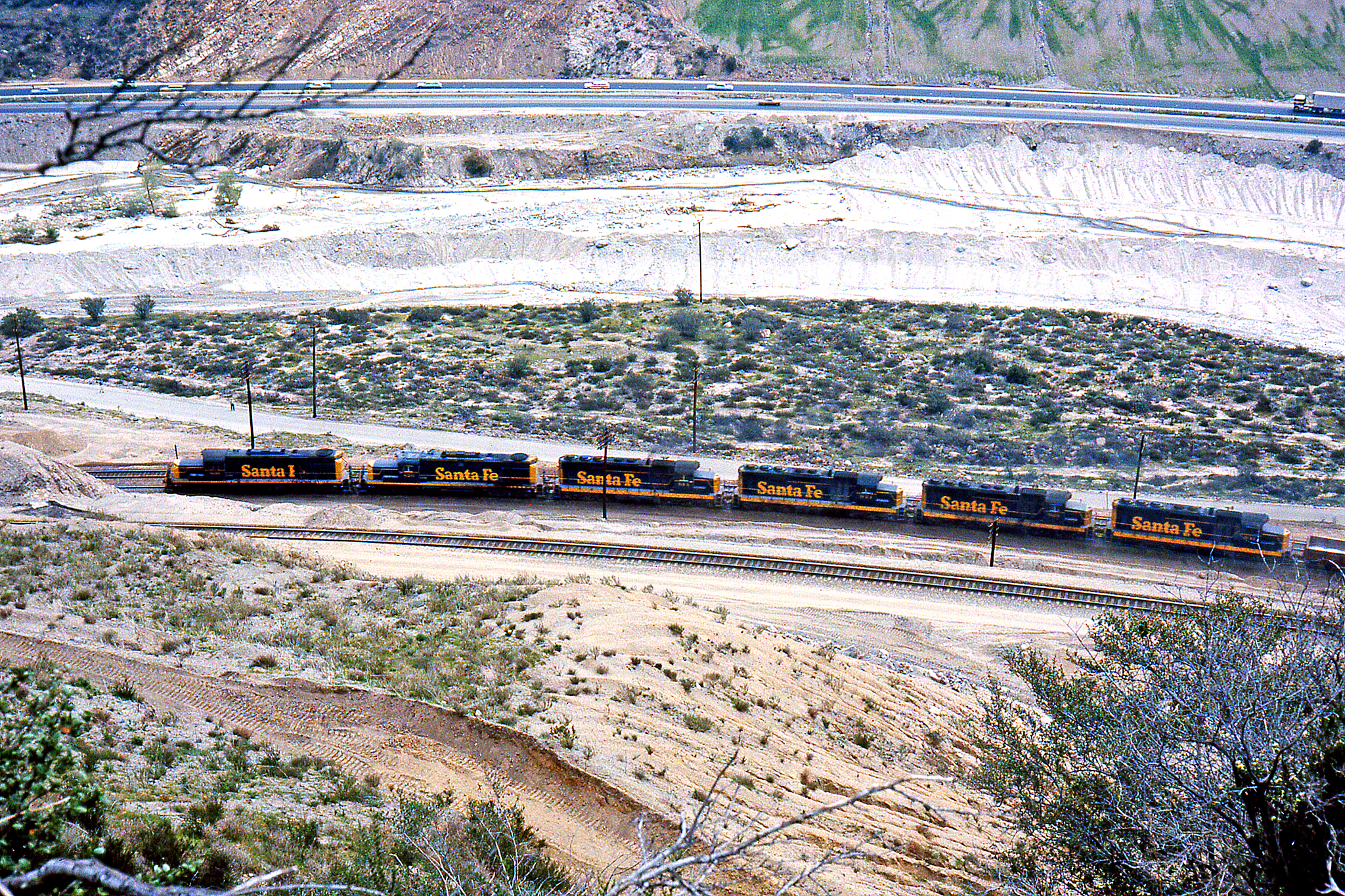
A Face Only UP Could Love

A Mixture of Fog and Clouds

Islands in the Mist

prcssd. combat camera. san bernardino, ca. 2011.

South from Marie Louise

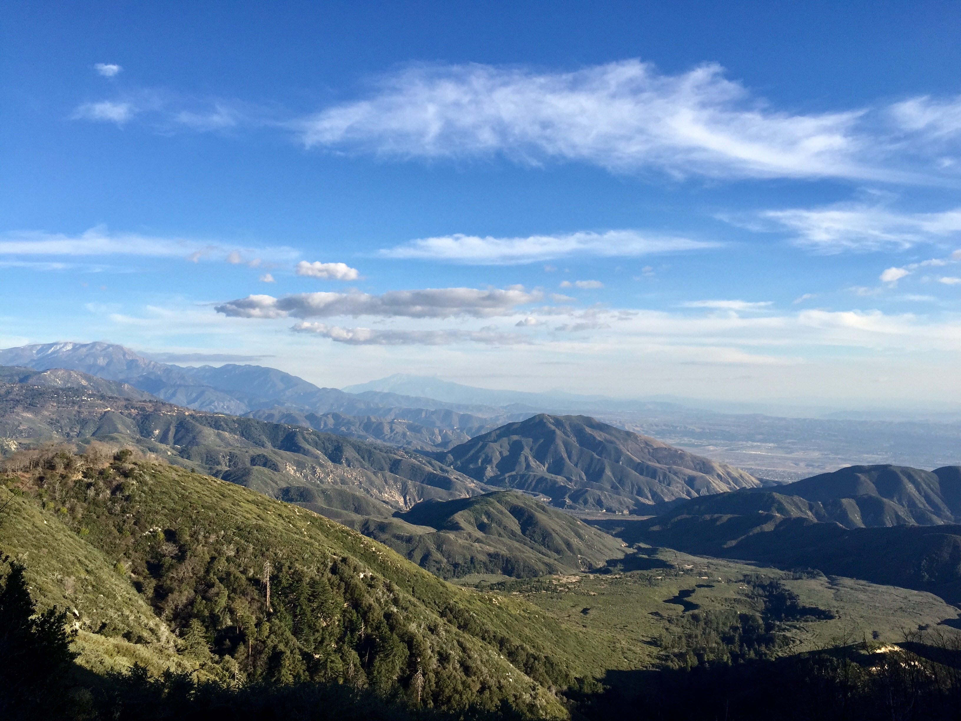
Above the Clouds
Blue-throated Hummingbird
village cove homes

View From a Bench

Sleepee in a Teepee
Nighttime over the Inland Empire
The White House (of San Bernardino)

San Bernardino Bicentennial Celebration
Crestline, California U.S.A. - March 9, 2019
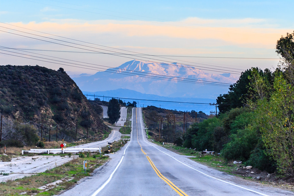
A View of the Mountain Road in Crestline, California
Roaming the American West-2
Last Light, Lake Arrowhead

What A Blast!
14,400
Not So Beautiful Boosters
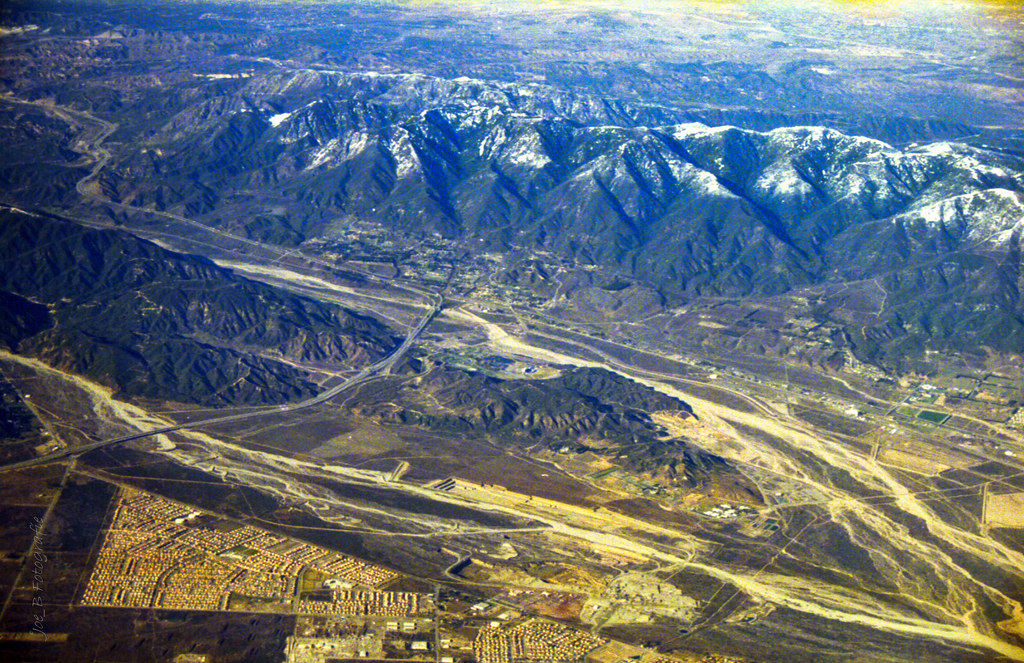
Aerial shots Colorado/L.A. 1999
UP 8831
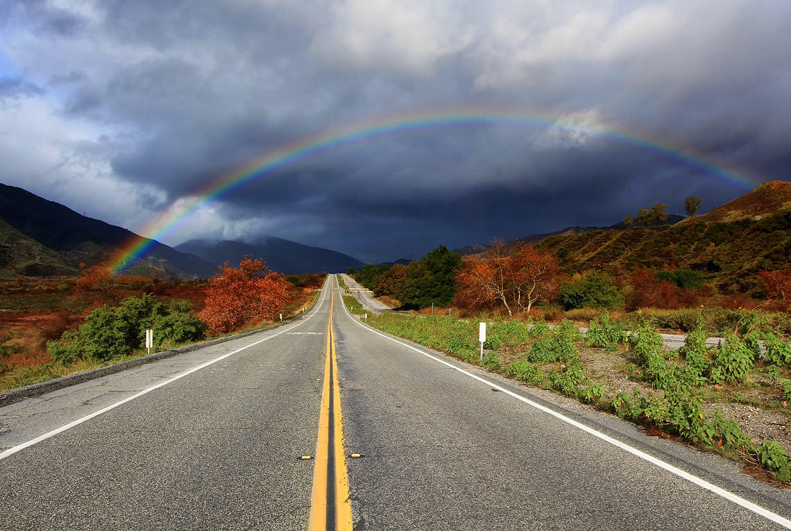
Rainbow over Historic Route 66
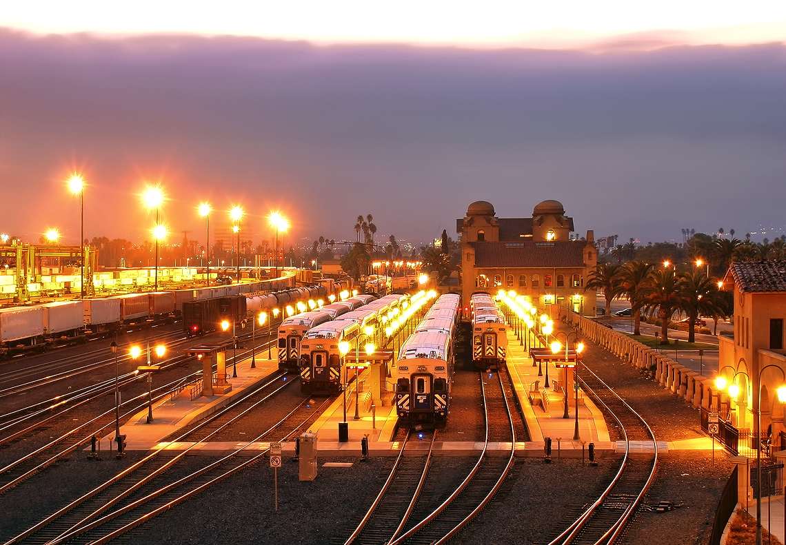
The Historic Santa Fe Depot in Downtown San Bernardino
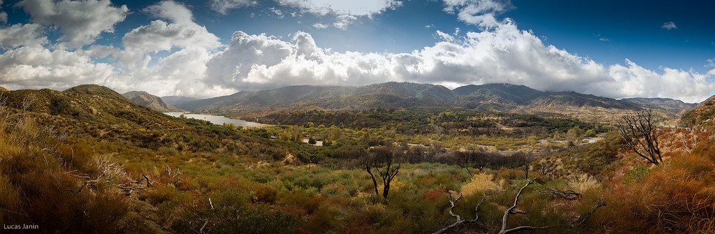
Silverwood Lake, CA
I never thought I would outlive the trees
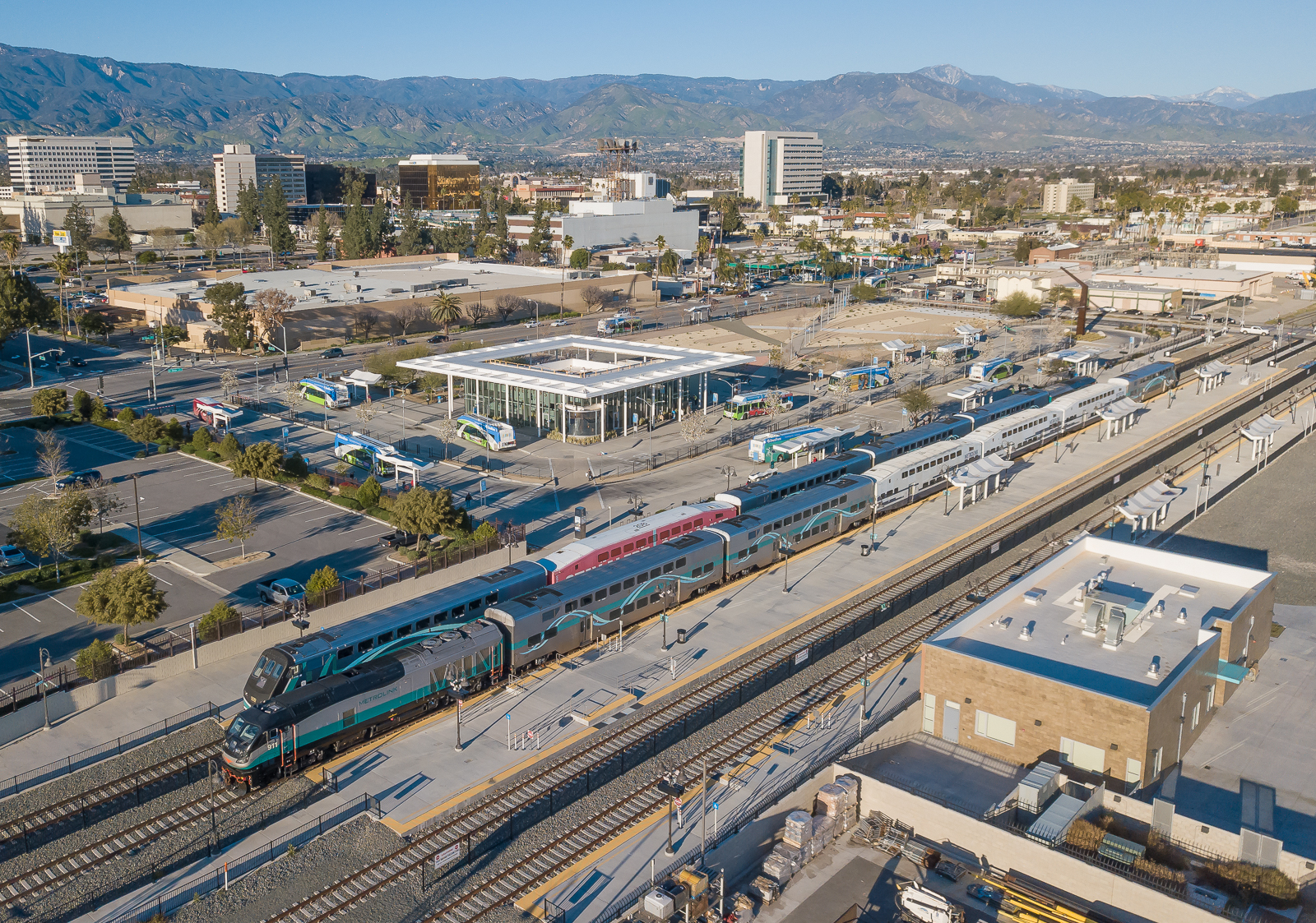
Metrolink San Bernardino Downtown Station
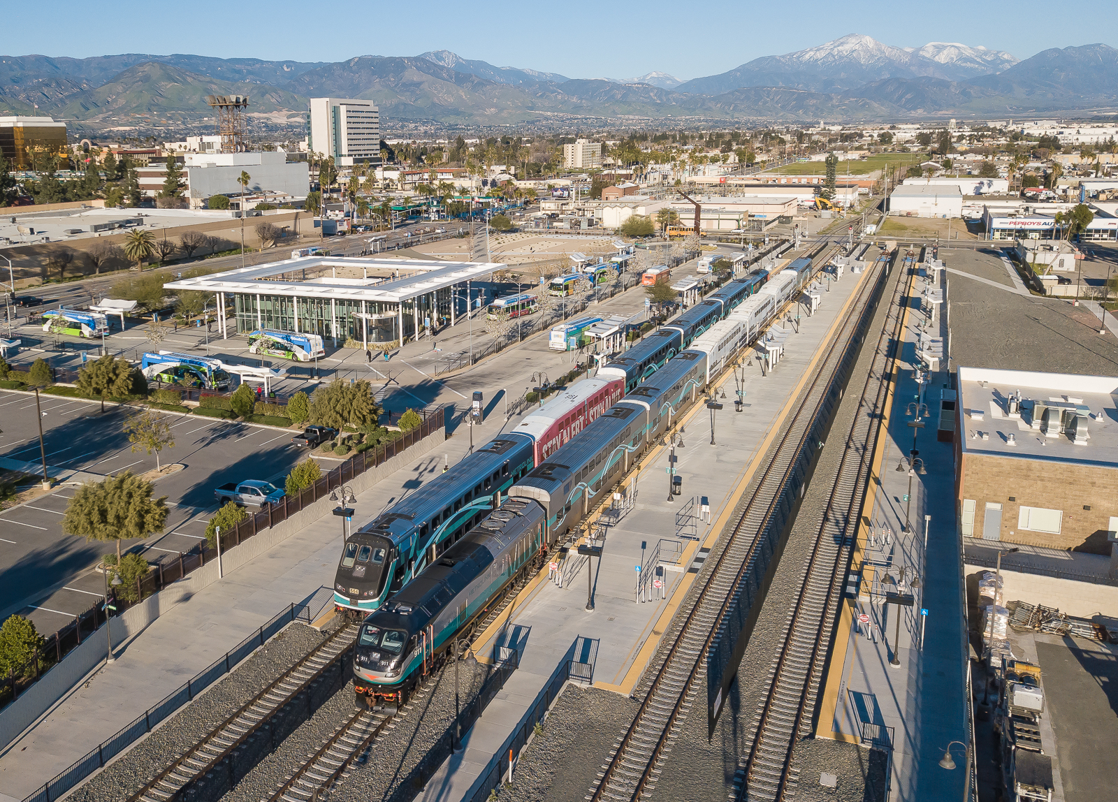
SCAX 911 (EMD F125) Metrolink San Bernardino Downtown Station
Desert trip

#sanbernardinomountains #mountains #runningsprings #hwy18

San Bernardino city and National Forest

Rim of the World Highway

Sunset at Rim of the World
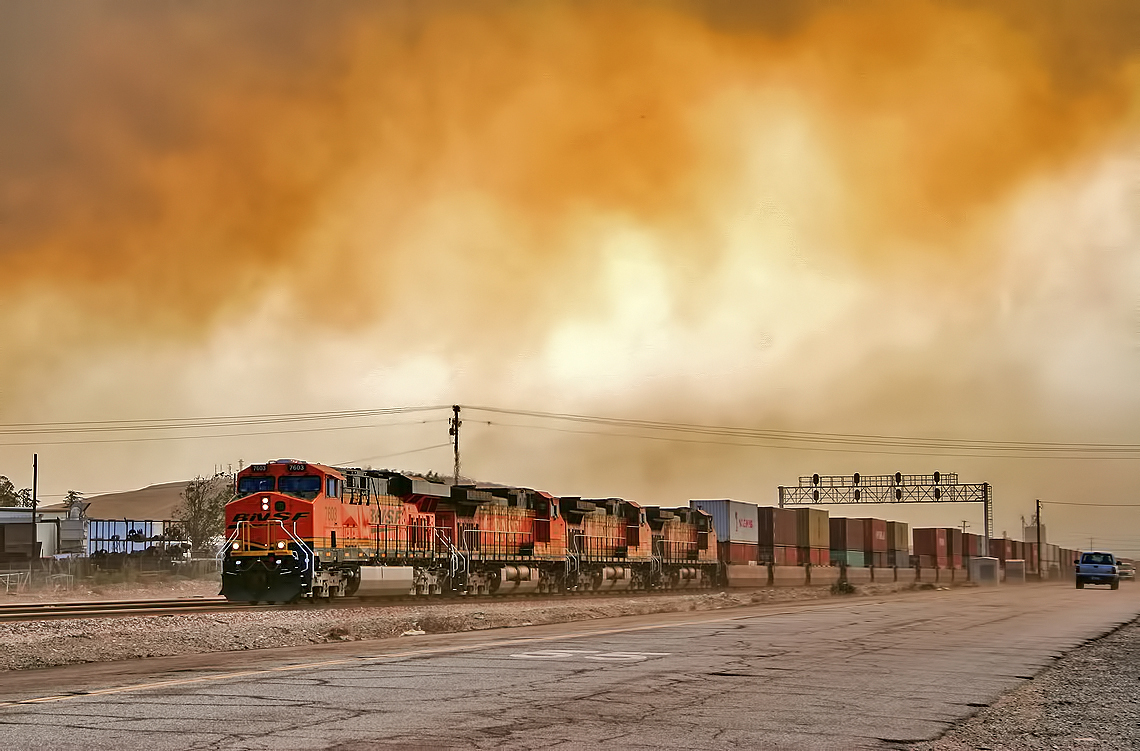
Read the link. BNSF Train under the Old Fire smoke
Route 66

Above it all
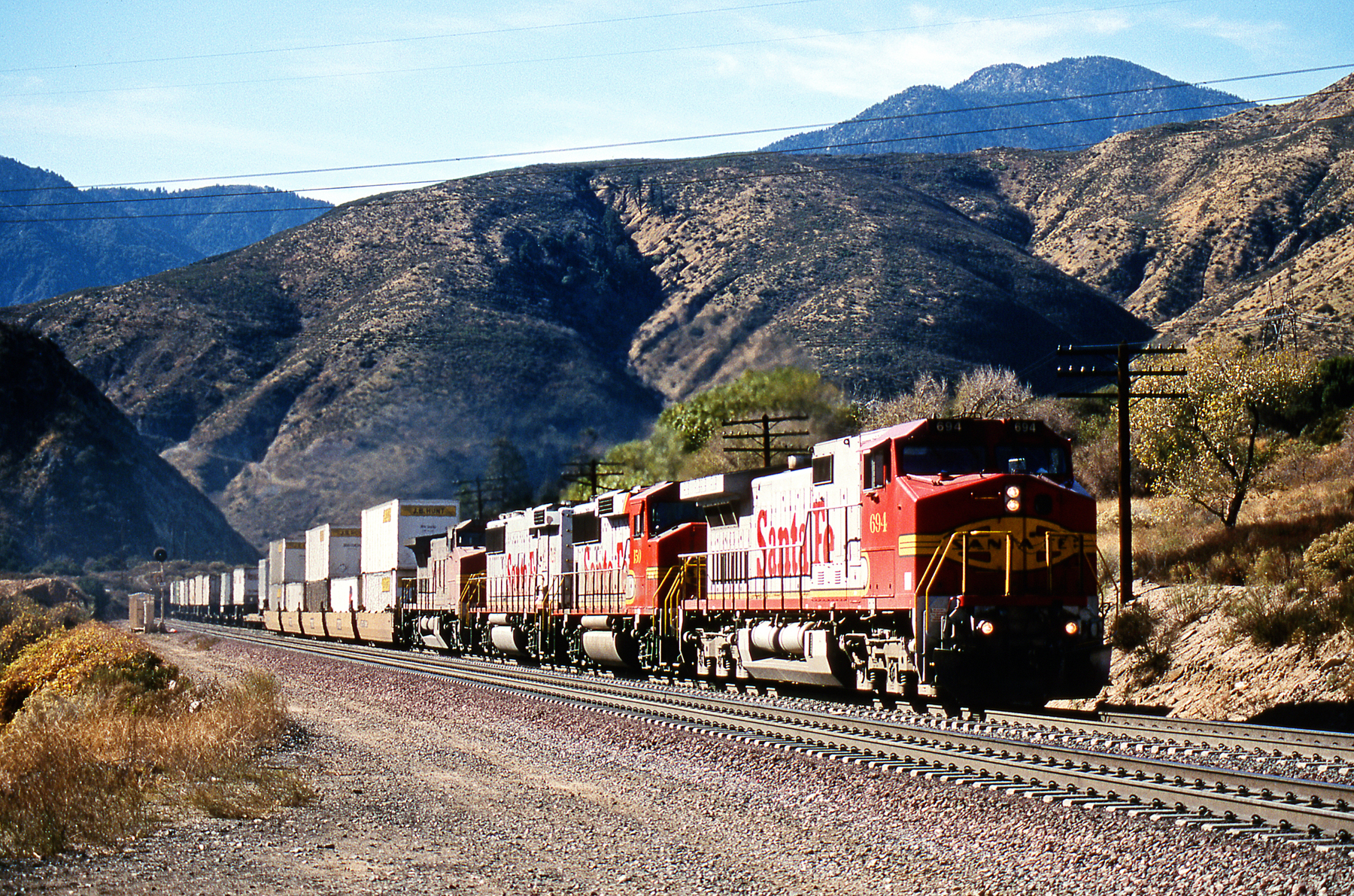
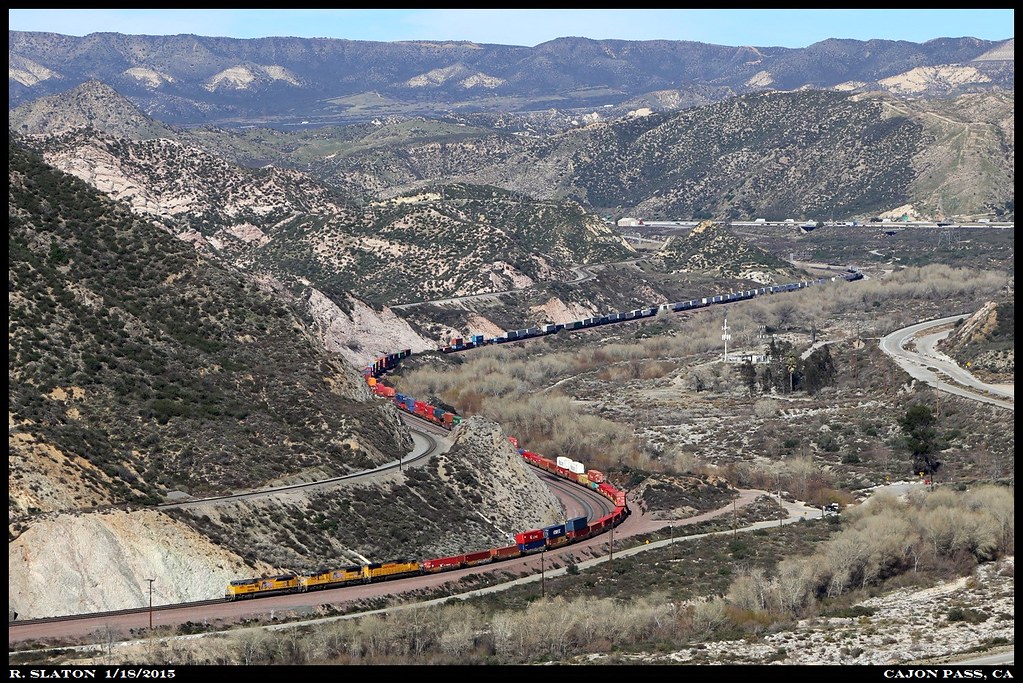
BNSF X-694E @ Cozy Dell
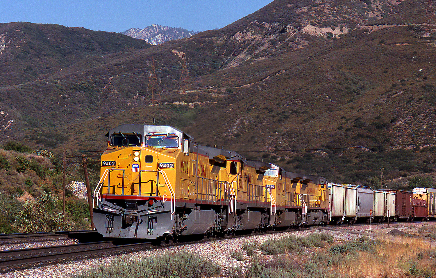
UP X-9402W

Mountain Creek
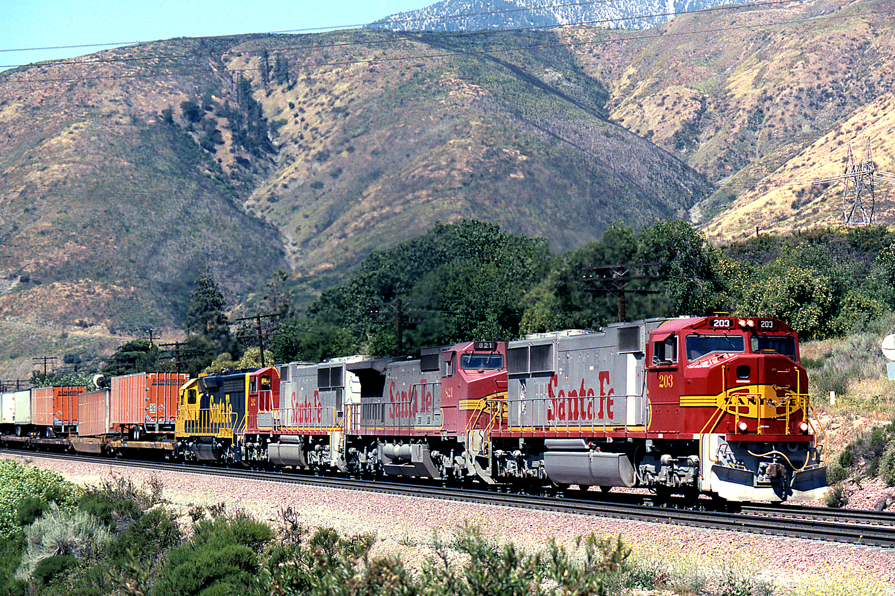
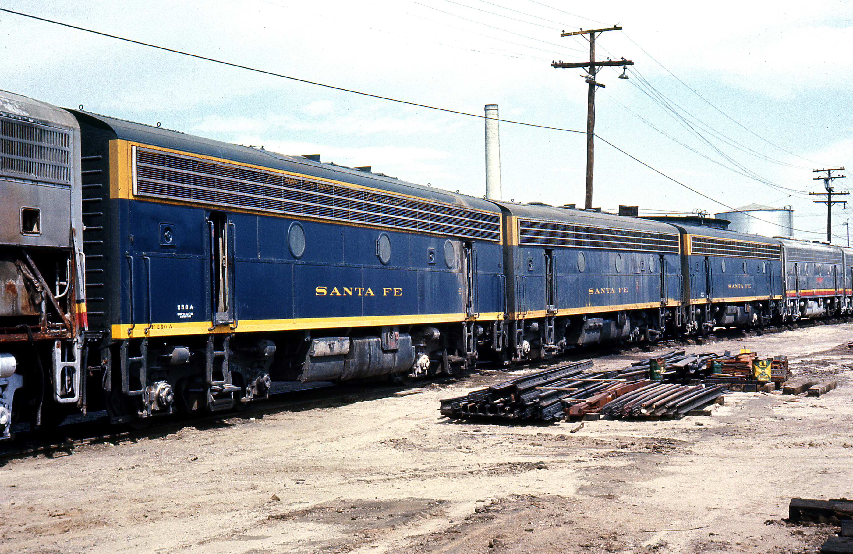
200 Class Revisited
Topographic Map of Marshall Peak, California, USA
Find elevation by address:

Places near Marshall Peak, California, USA:
1078 Playground Dr
Valley View Drive
Grandview Dr, Crestline, CA, USA
22644 Crest Forest Dr
Badger Hill
943 Playground Dr
23329 Crestline Rd
23394 Crestline Rd
23484 Crest Forest Dr
Hearth & Sage General Store
910 Fern Dr
722 Woodland Rd
5548 Western Ave
23407 Lakeview Dr
Coussoulis Arena
876 Sequoia St W
24018 Skyland Dr
645 Knoll Dr
23878 Lakeview Dr
Cajon High School
Recent Searches:
- Elevation of Corso Fratelli Cairoli, 35, Macerata MC, Italy
- Elevation of Tallevast Rd, Sarasota, FL, USA
- Elevation of 4th St E, Sonoma, CA, USA
- Elevation of Black Hollow Rd, Pennsdale, PA, USA
- Elevation of Oakland Ave, Williamsport, PA, USA
- Elevation of Pedrógão Grande, Portugal
- Elevation of Klee Dr, Martinsburg, WV, USA
- Elevation of Via Roma, Pieranica CR, Italy
- Elevation of Tavkvetili Mountain, Georgia
- Elevation of Hartfords Bluff Cir, Mt Pleasant, SC, USA