Elevation map of San Benito County, CA, USA
Location: United States > California >
Longitude: -120.98763
Latitude: 36.5760883
Elevation: 691m / 2267feet
Barometric Pressure: 93KPa
Elevation Map:
Satellite Map:
Related Photos:
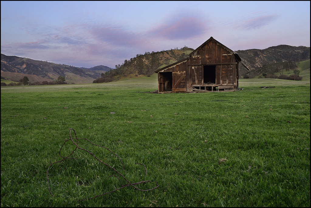
Built to last

California from the Air - between Hollister and Coalinga
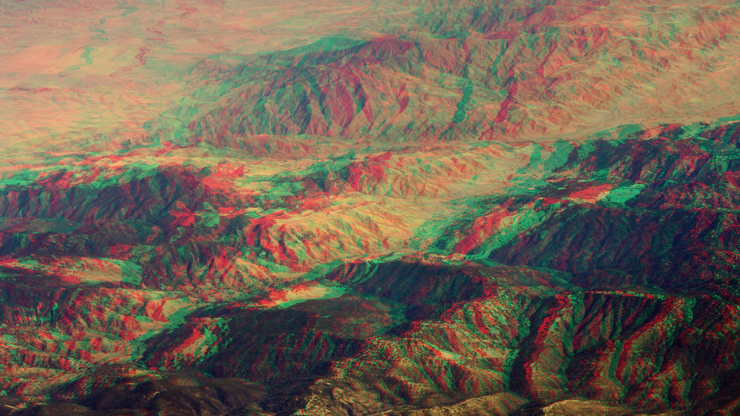
Mountains in Central California (anaglyph 3D)

grasslands, Panoche Valley, San Benito Cty, CA, 2011-02-04 (1 of 2).jpg

The View From Up Here
Deceptive Tranquility

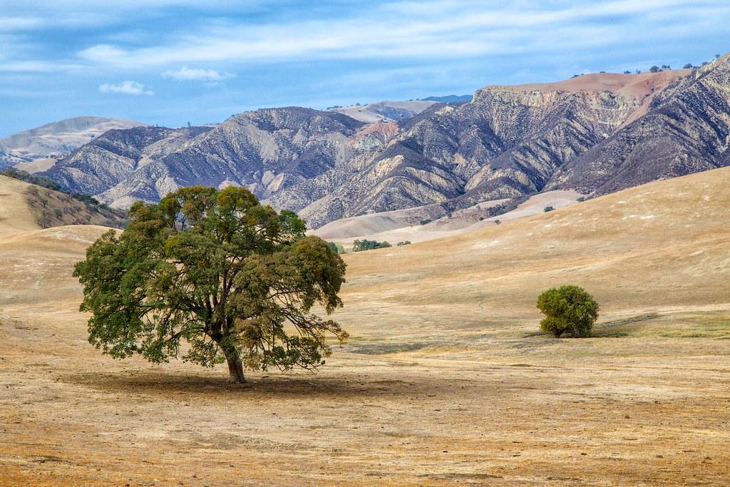
Cattle and tree
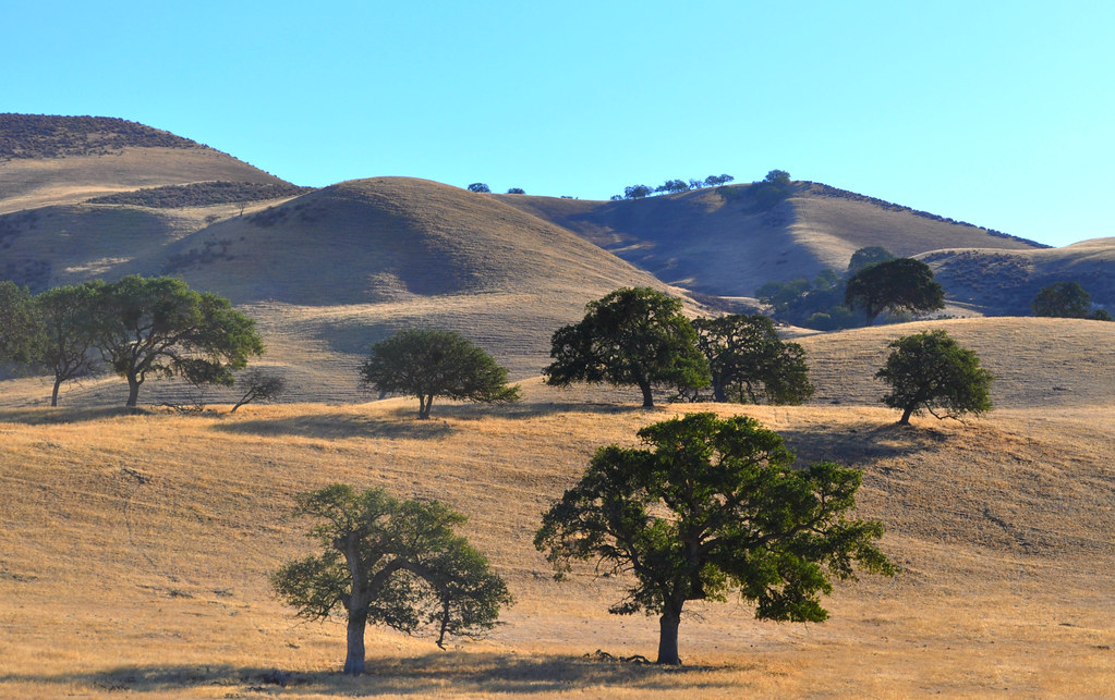
Hills Of Hollister in the Morning

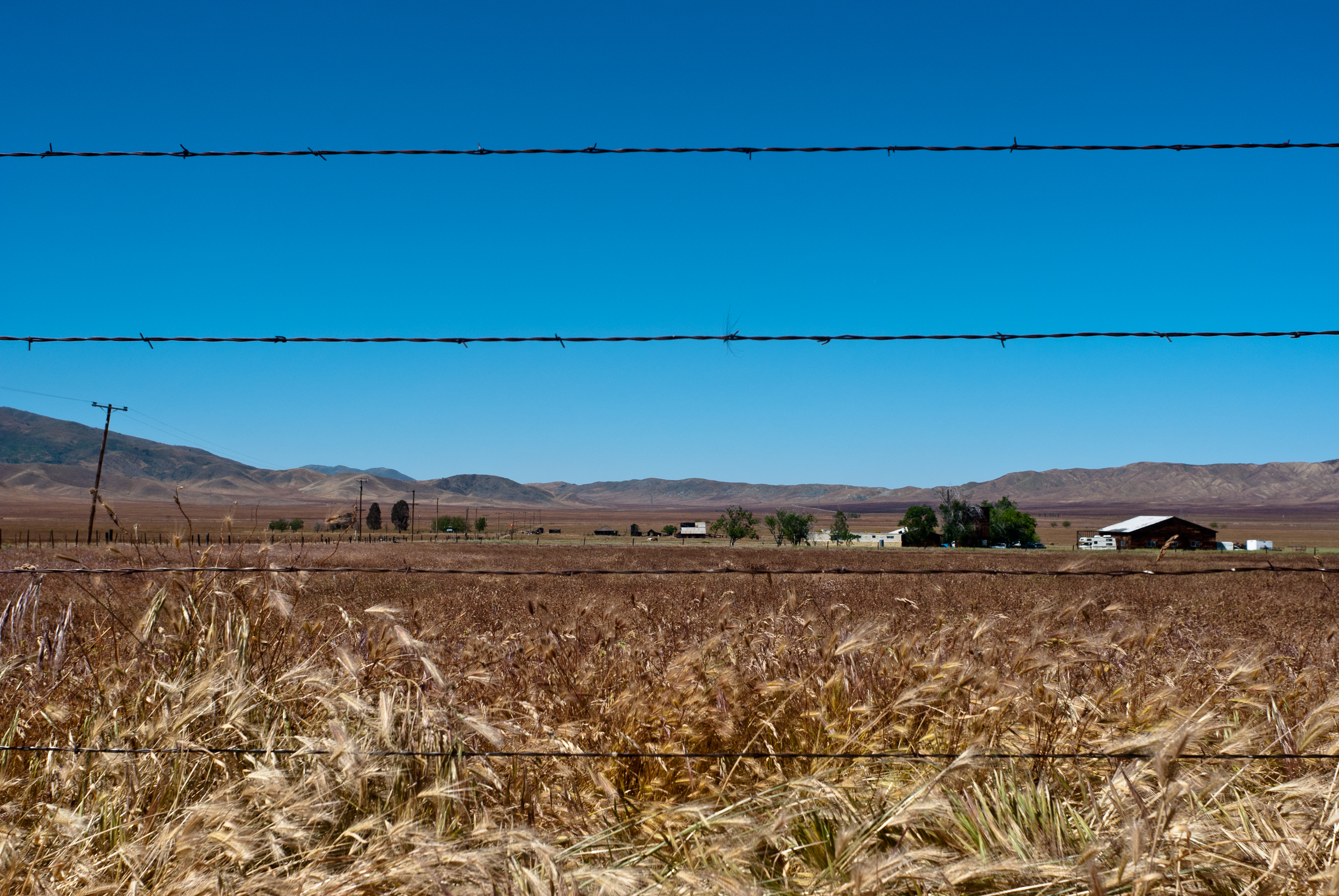
Grasslands off Highway 25

Summer Shade
Open air

Bear Gulch Reservoir

The Drive Home

Reservoir Trickle
From Griswold Hills
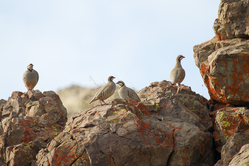
Chukar IMG_2032-10.jpg

Machete Ridge

Golden Tones in the Bitterwater Valley

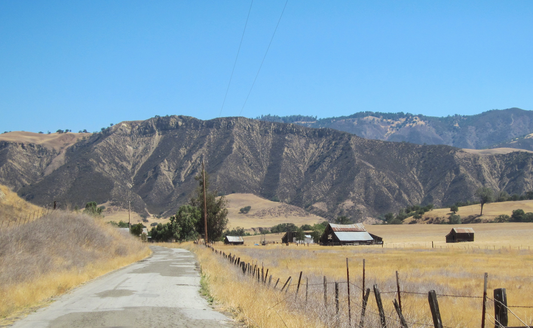
The Drive Home

CA-25, Airline Hwy (3610)

Lark Sparrow (Chondestes grammacus)
CA-25, Old Hernandez Rd (3613)

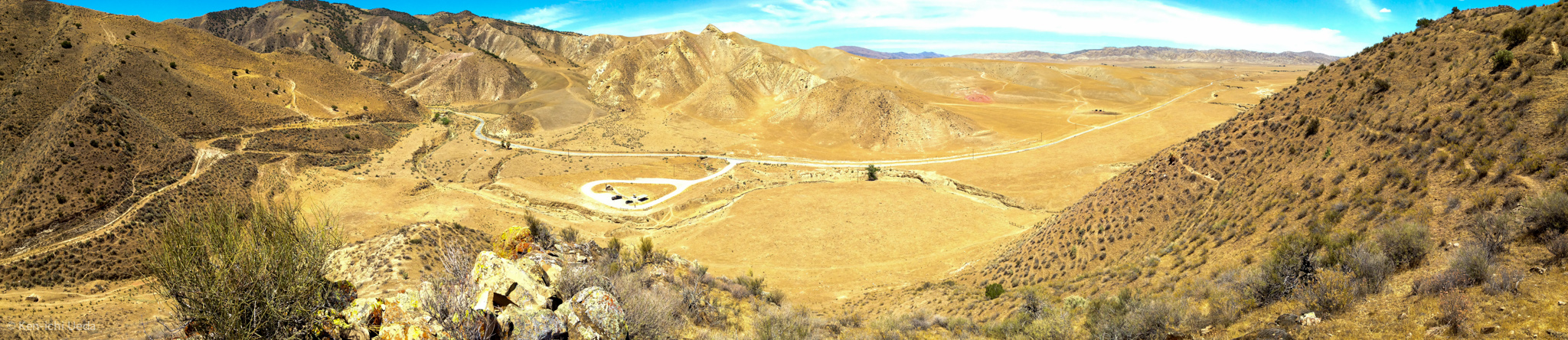
Griswold Hills
Topographic Map of San Benito County, CA, USA
Find elevation by address:

Places in San Benito County, CA, USA:
Places near San Benito County, CA, USA:
14665 Panoche Rd
14665 Panoche Rd
14665 Panoche Rd
1700 Murphy Rd
Paicines
16225 Cienega Rd
Quien Sabe Rd, Tres Pinos, CA, USA
Tres Pinos
74 Saddle Ct
Ridgemark Dr, Hollister, CA, USA
Jarvis Lane
California 152
758 Jarvis Ln
Hollister
Homestead Avenue
1700 Shelton Dr
San Jose-sunnyvale-santa Clara, Ca
CA-33, Gustine, CA, USA
Jackson St, Chualar, CA, USA
Chualar
Recent Searches:
- Elevation of Corso Fratelli Cairoli, 35, Macerata MC, Italy
- Elevation of Tallevast Rd, Sarasota, FL, USA
- Elevation of 4th St E, Sonoma, CA, USA
- Elevation of Black Hollow Rd, Pennsdale, PA, USA
- Elevation of Oakland Ave, Williamsport, PA, USA
- Elevation of Pedrógão Grande, Portugal
- Elevation of Klee Dr, Martinsburg, WV, USA
- Elevation of Via Roma, Pieranica CR, Italy
- Elevation of Tavkvetili Mountain, Georgia
- Elevation of Hartfords Bluff Cir, Mt Pleasant, SC, USA