Elevation of Panoche Rd, Paicines, CA, USA
Location: United States > California > San Benito County > Paicines >
Longitude: -121.10369
Latitude: 36.6617198
Elevation: 462m / 1516feet
Barometric Pressure: 96KPa
Elevation Map:
Satellite Map:
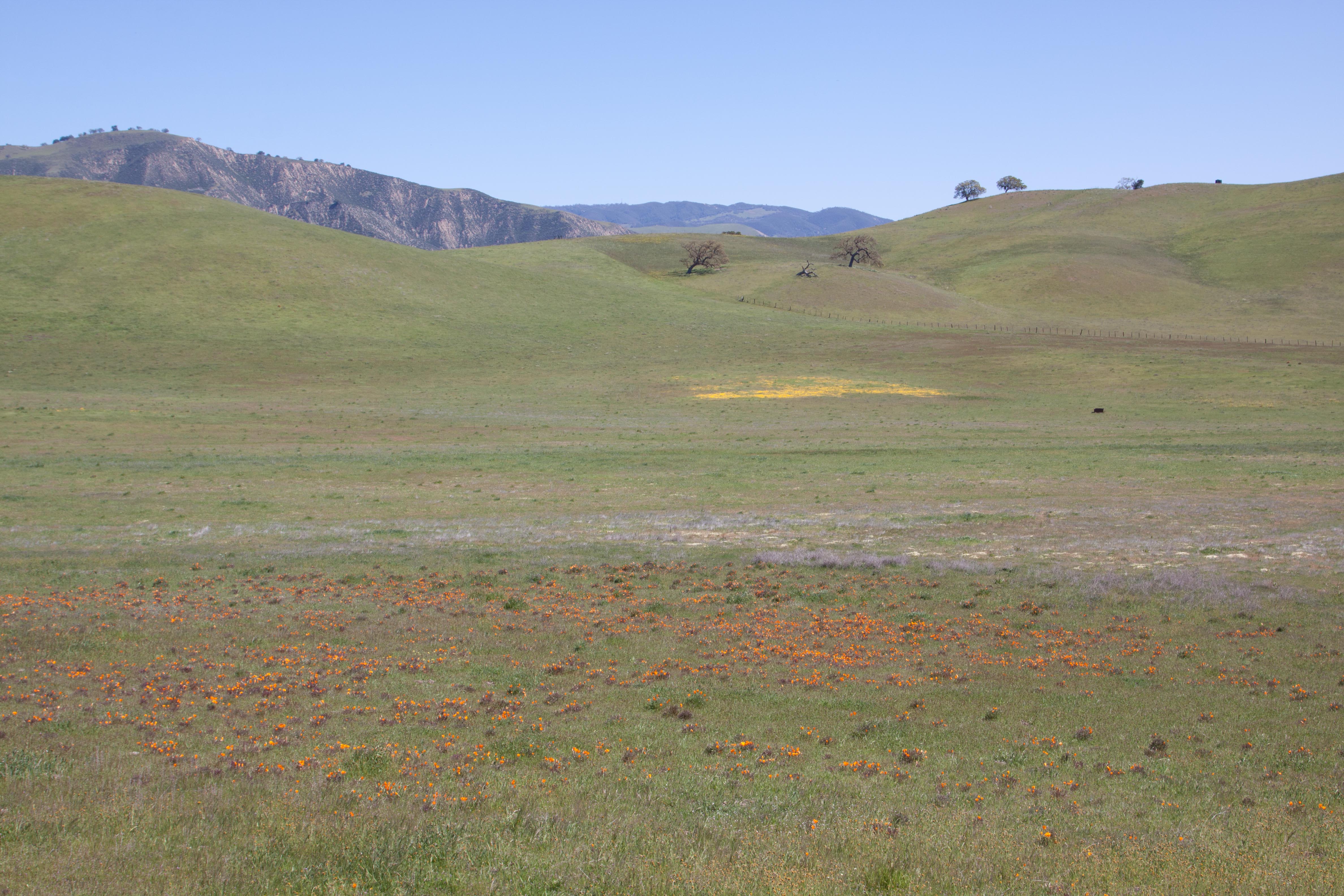
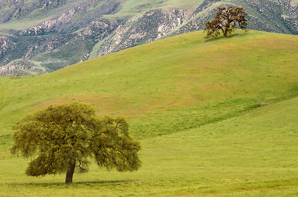
Related Photos:
Pinnacles NM, San Benito Cty, CA -0705.jpg

Hidden California

Panoche Oak (explored)

Oaks Trees of the Panoche Valley
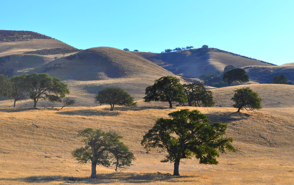
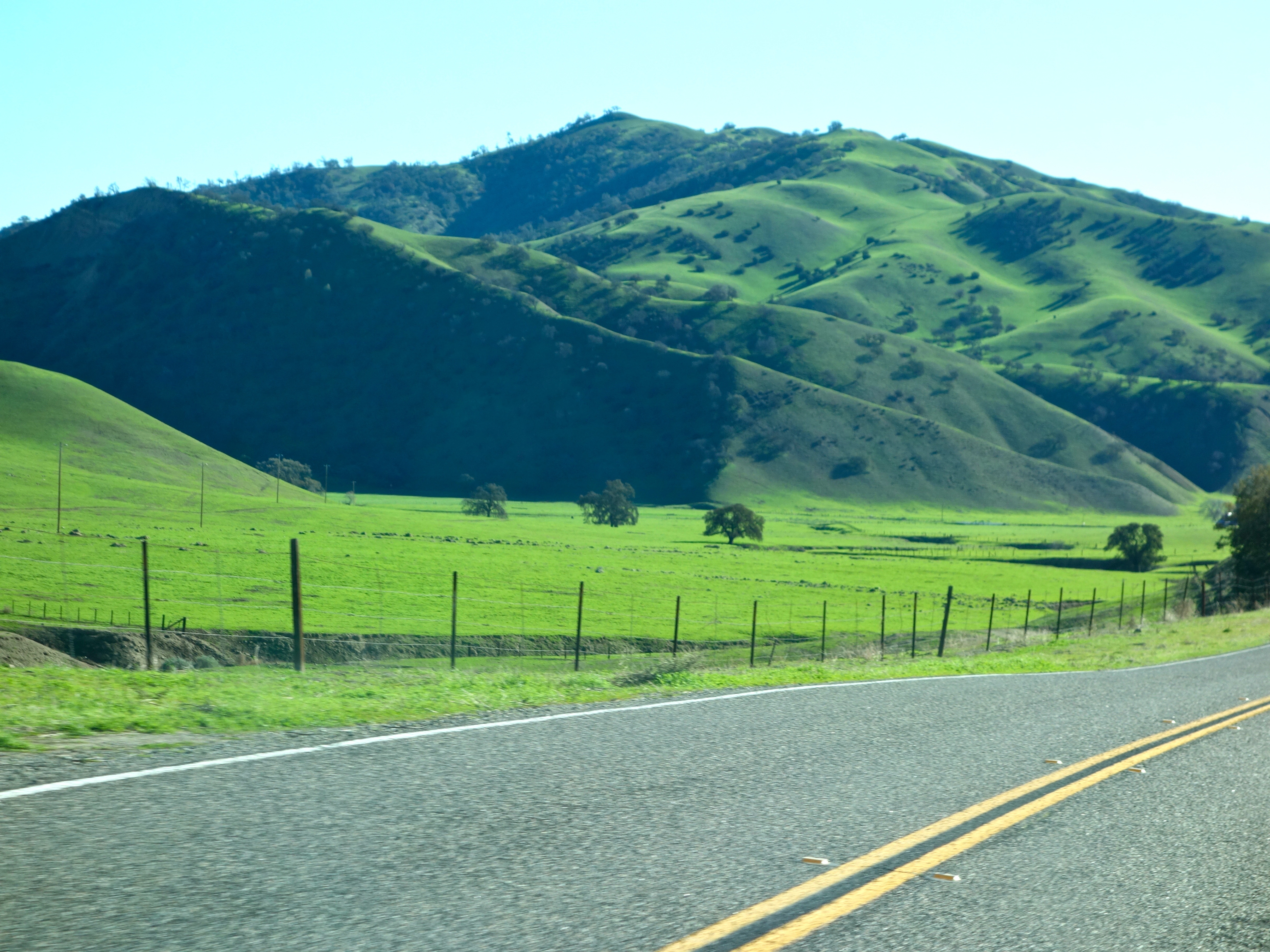
Hills Of Hollister in the Morning
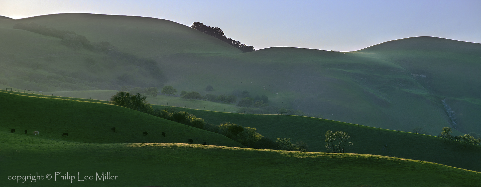
How Green is my Valley

Panoche Pink

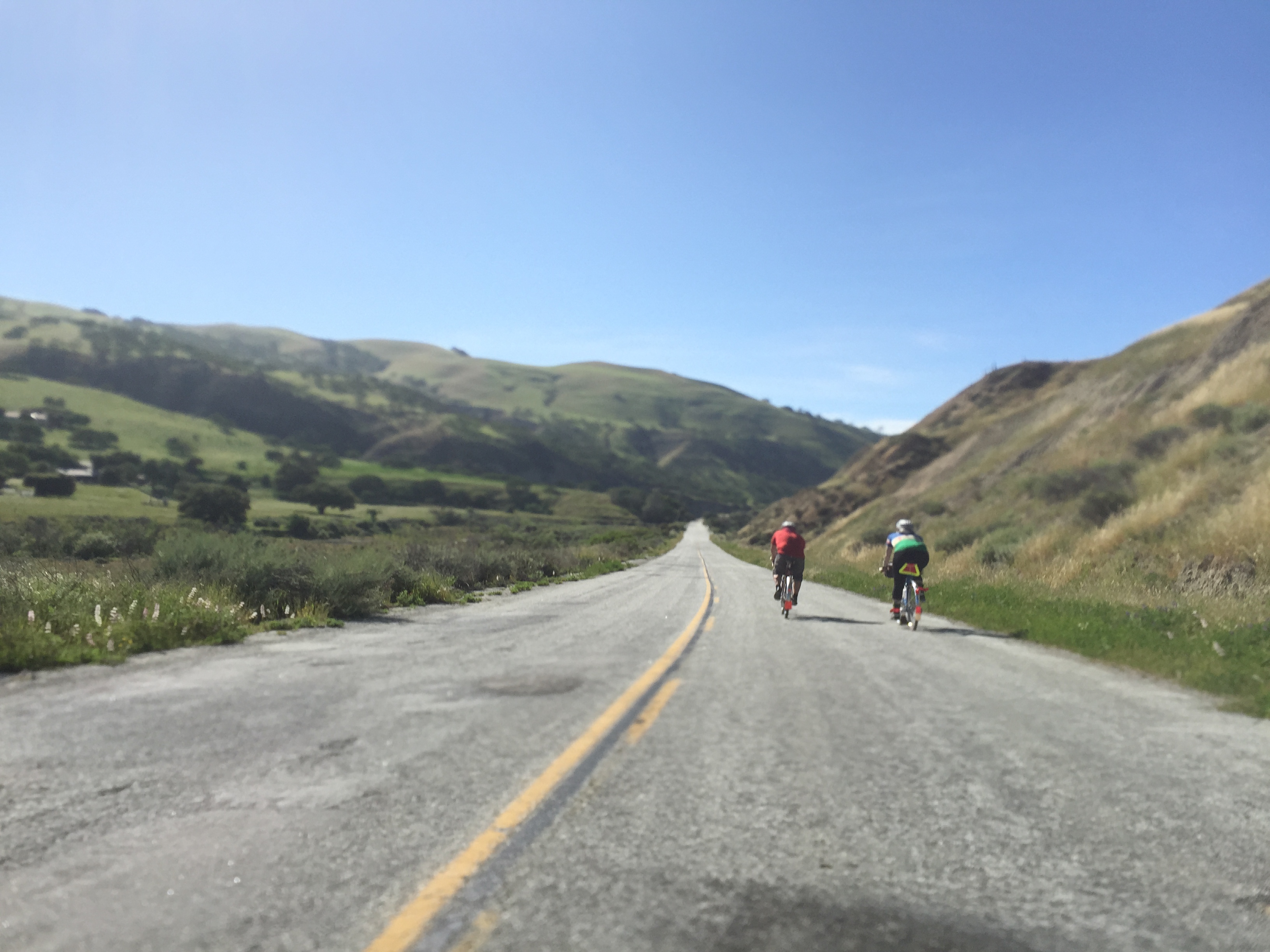
Road To Paso Robles - CA 25
Romeo & Juliet -- Gabilan Mountains, Central California

CA-25, San Benito Co, CA
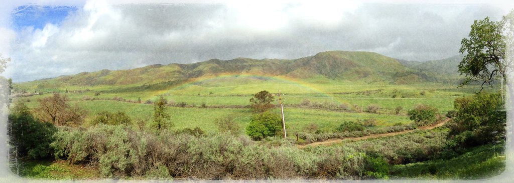
Low flying rainbow!
.
Road To Paso Robles - CA 25
California Spring

Cal Fire BEU Bear Valley Helitack
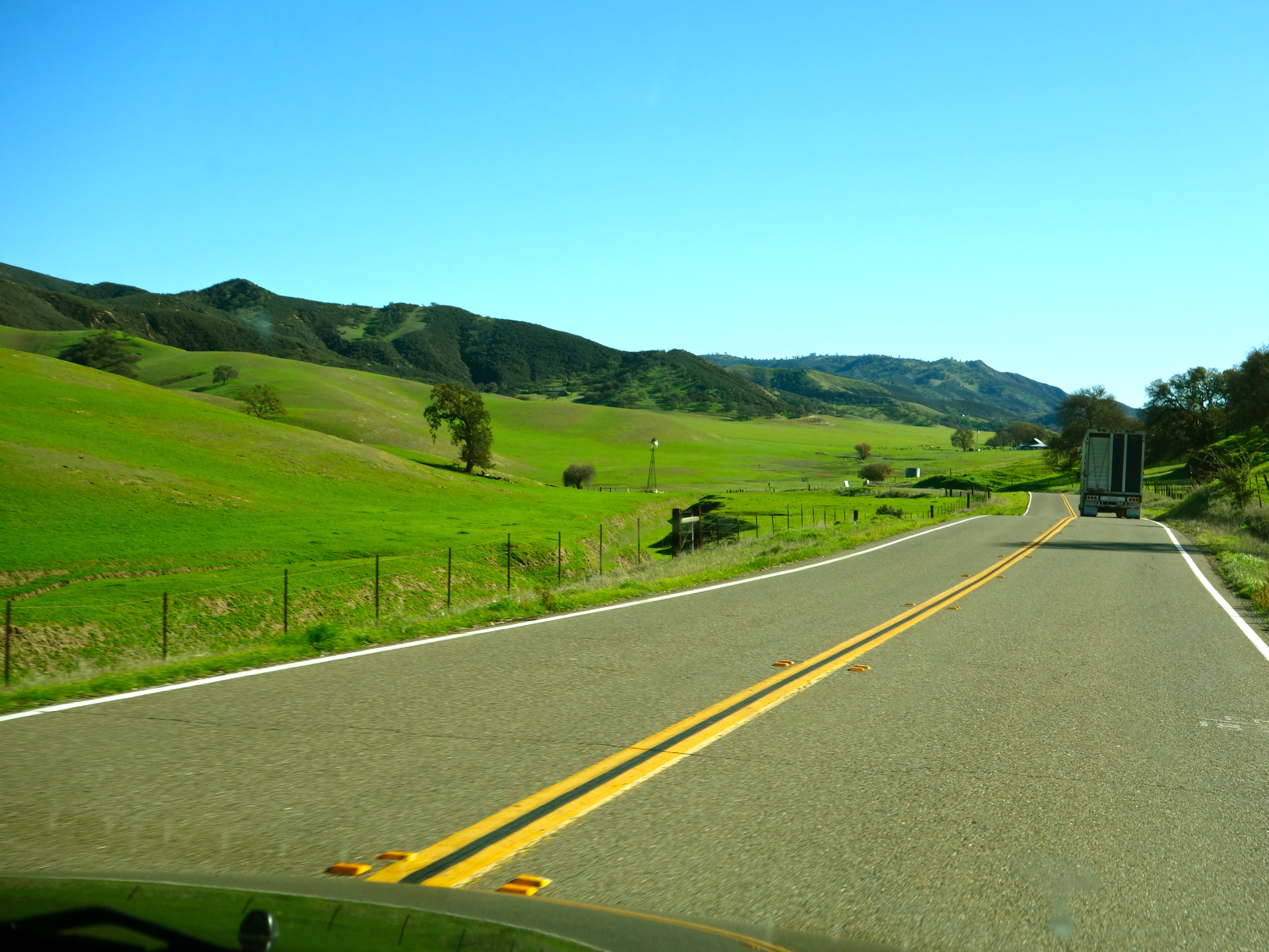
Road To Paso Robles - CA 25
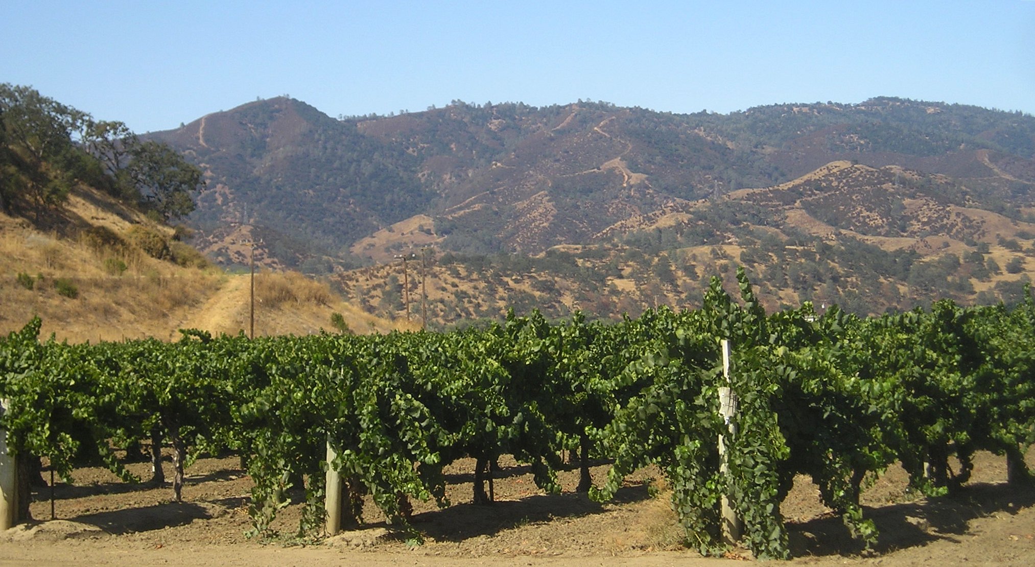
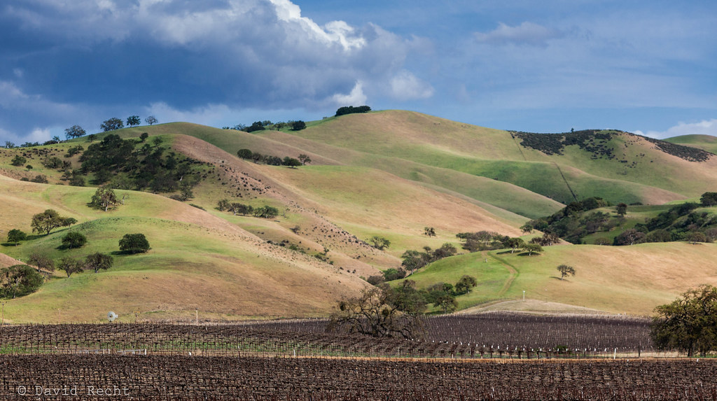
A Cienega Valley Vineyard, San Benito County, California

Santa Anita Rd, San Benito Co, CA

Santa Anita Rd, San Benito Co, CA
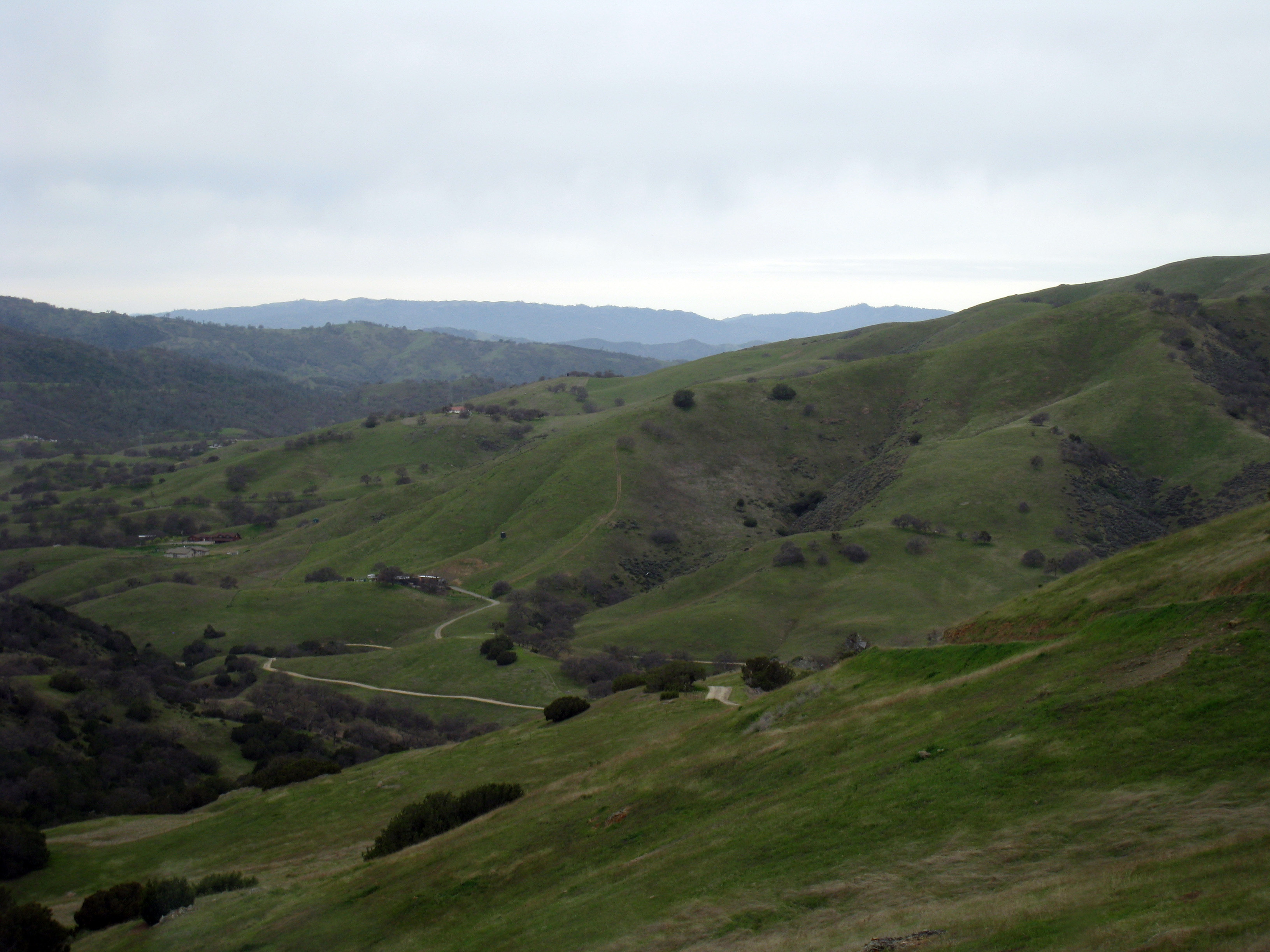
Image 21149.

Image 21150.
Topographic Map of Panoche Rd, Paicines, CA, USA
Find elevation by address:

Places near Panoche Rd, Paicines, CA, USA:
14665 Panoche Rd
14665 Panoche Rd
San Benito County
1700 Murphy Rd
Paicines
16225 Cienega Rd
Quien Sabe Rd, Tres Pinos, CA, USA
Tres Pinos
74 Saddle Ct
Ridgemark Dr, Hollister, CA, USA
Jarvis Lane
758 Jarvis Ln
Hollister
Homestead Avenue
1700 Shelton Dr
San Jose-sunnyvale-santa Clara, Ca
California 152
Fremont Peak
Fairview Rd, Hollister, CA, USA
Pacheco Pass Hwy, Gilroy, CA, USA
Recent Searches:
- Elevation of Corso Fratelli Cairoli, 35, Macerata MC, Italy
- Elevation of Tallevast Rd, Sarasota, FL, USA
- Elevation of 4th St E, Sonoma, CA, USA
- Elevation of Black Hollow Rd, Pennsdale, PA, USA
- Elevation of Oakland Ave, Williamsport, PA, USA
- Elevation of Pedrógão Grande, Portugal
- Elevation of Klee Dr, Martinsburg, WV, USA
- Elevation of Via Roma, Pieranica CR, Italy
- Elevation of Tavkvetili Mountain, Georgia
- Elevation of Hartfords Bluff Cir, Mt Pleasant, SC, USA