Elevation map of San Jose-Sunnyvale-Santa Clara, CA, CA, USA
Location: United States > California > Santa Clara County > San Jose >
Longitude: -121.35416
Latitude: 36.9374556
Elevation: 105m / 344feet
Barometric Pressure: 100KPa
Elevation Map:
Satellite Map:
Related Photos:
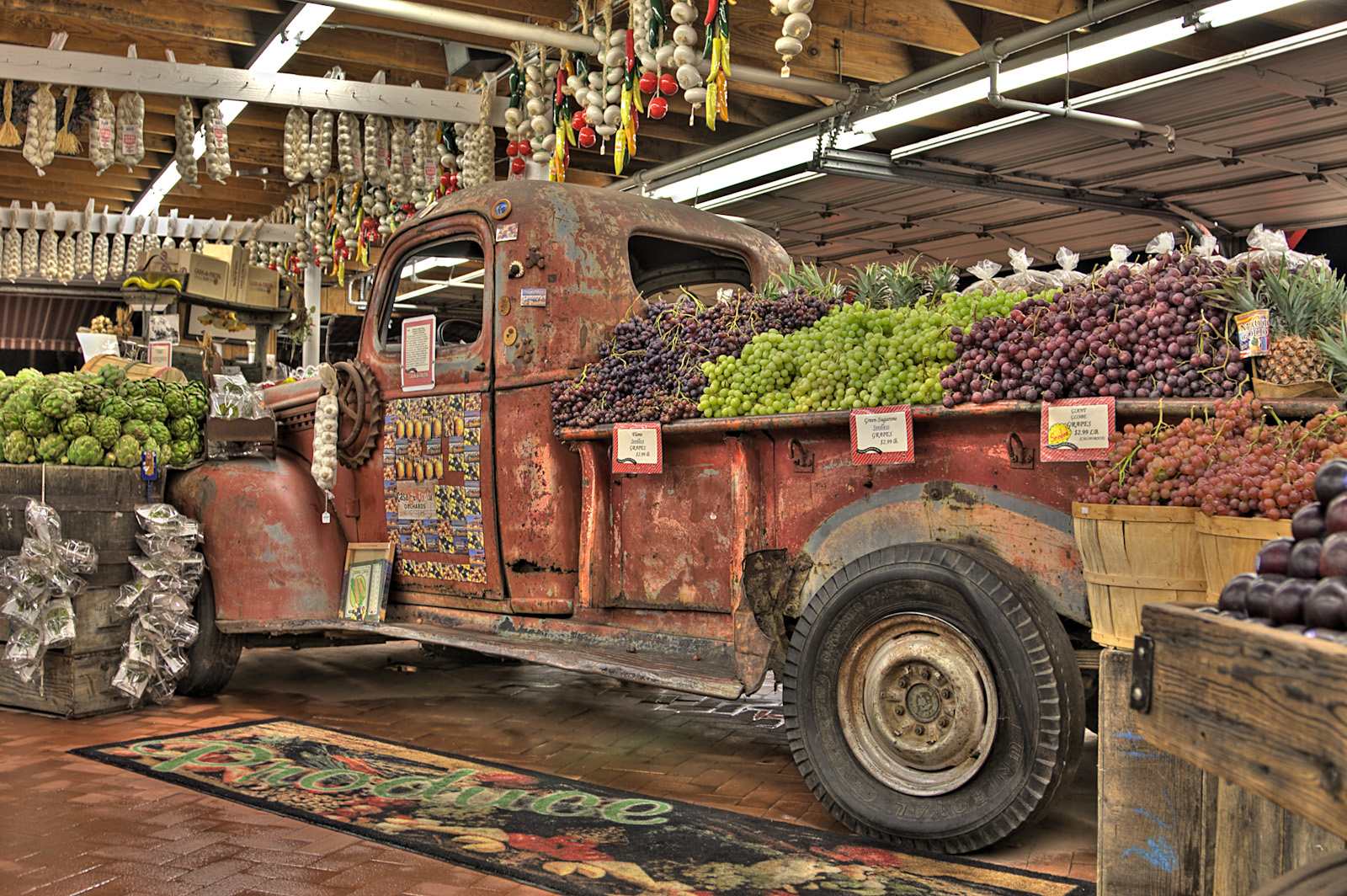
Casa de Fruit Truck
Spring is here !!!
Heading west
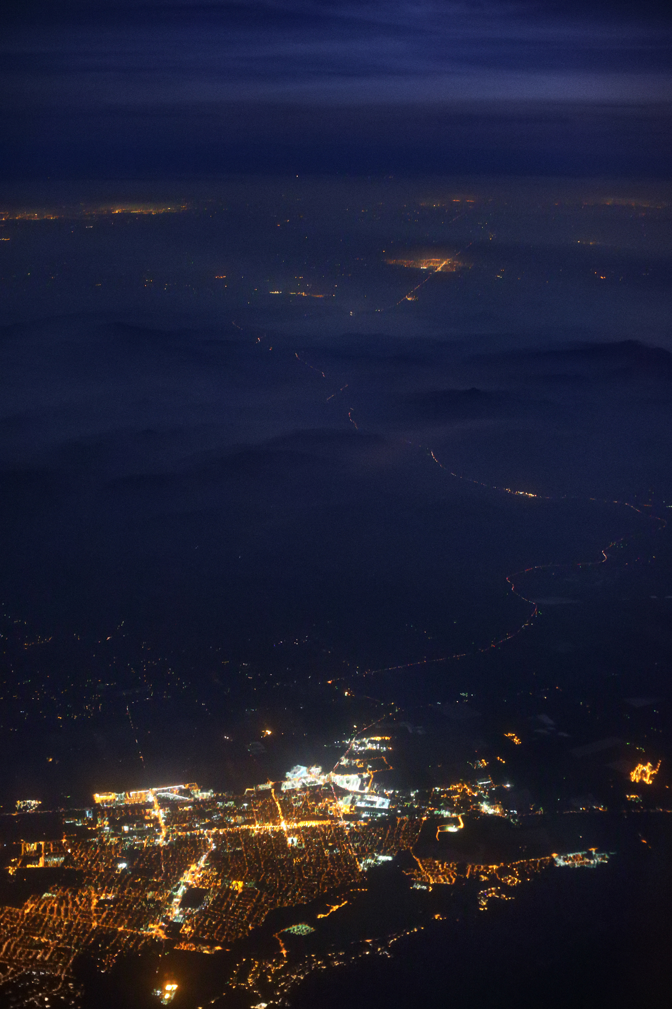
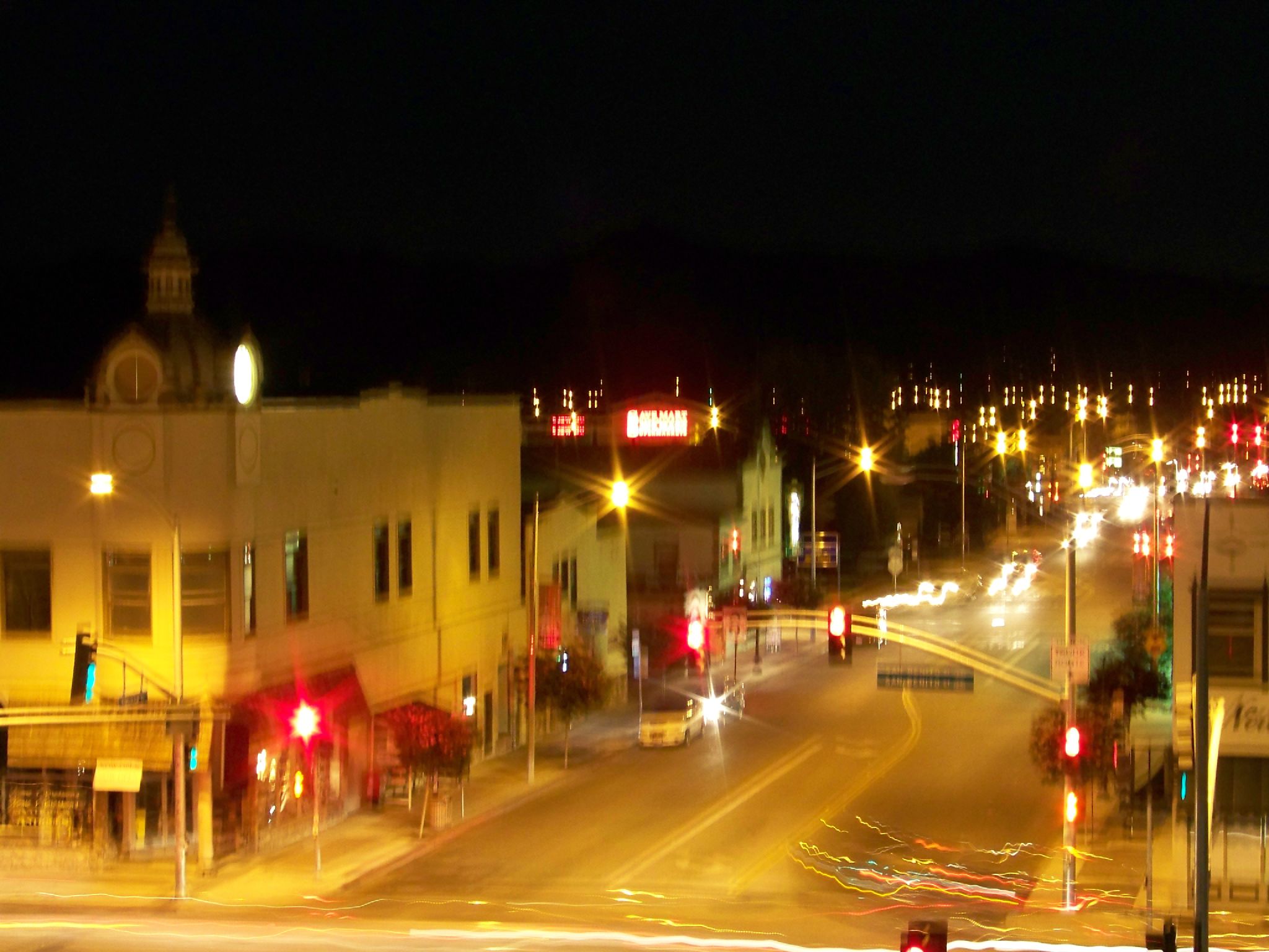
Gilroy, Highway 152, Dublin and Livermore at Night

Day 174: Break
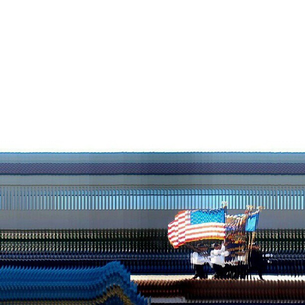
color guard, San Benito Street, Hollister, November 11, 2012

sky view
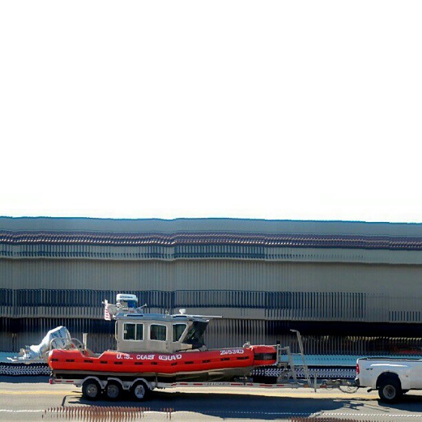
Coast Guard, San Benito Street, Hollister, November 11, 2012

Cal Fire Hollister Air Attack Base
10:35am at Spy World Headquarters
sky view
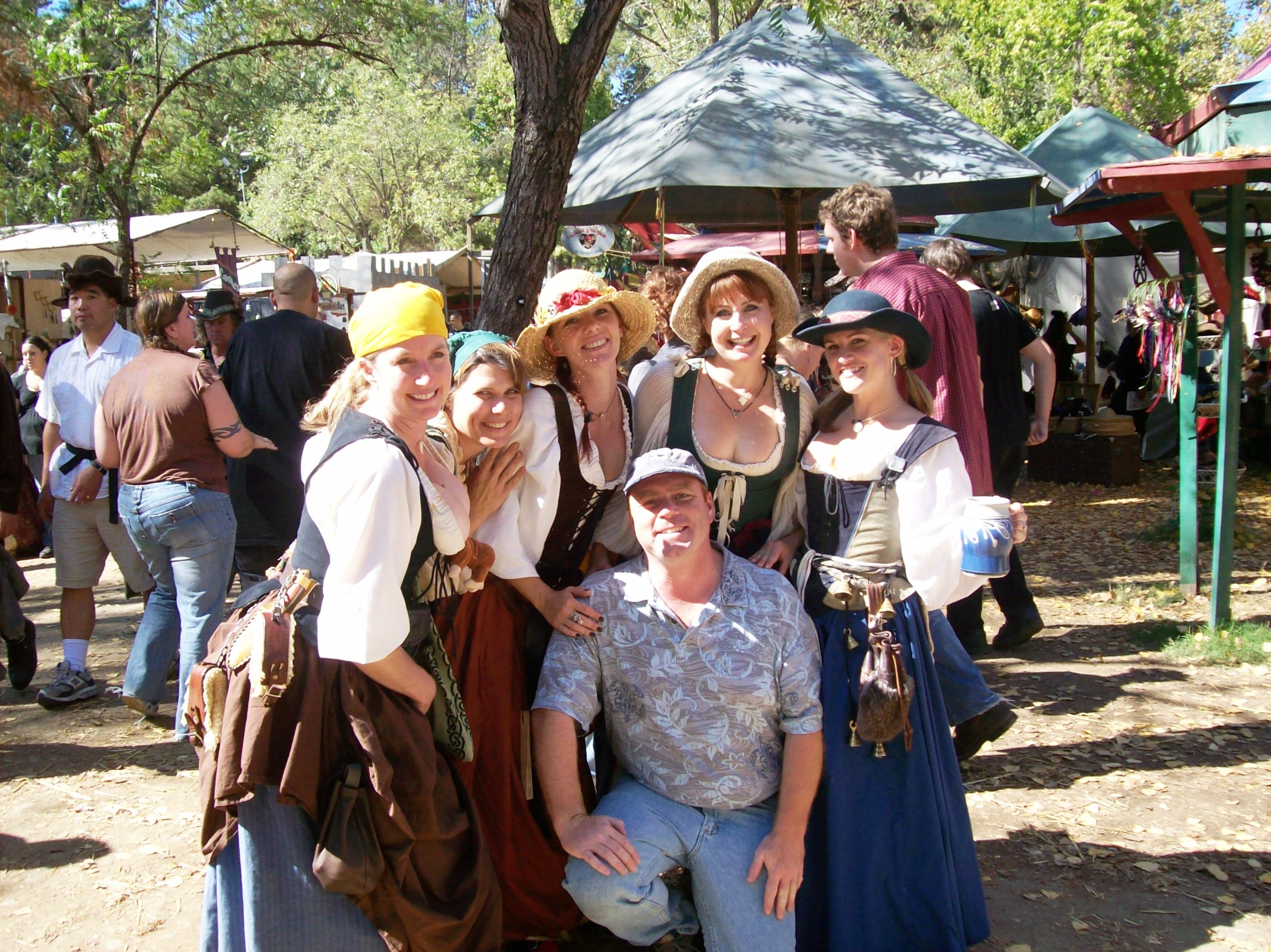
Hanging with my posse at the Northern California Renaissance Faire, California 2007 - renfaire05x
sky view
4th and San Benito
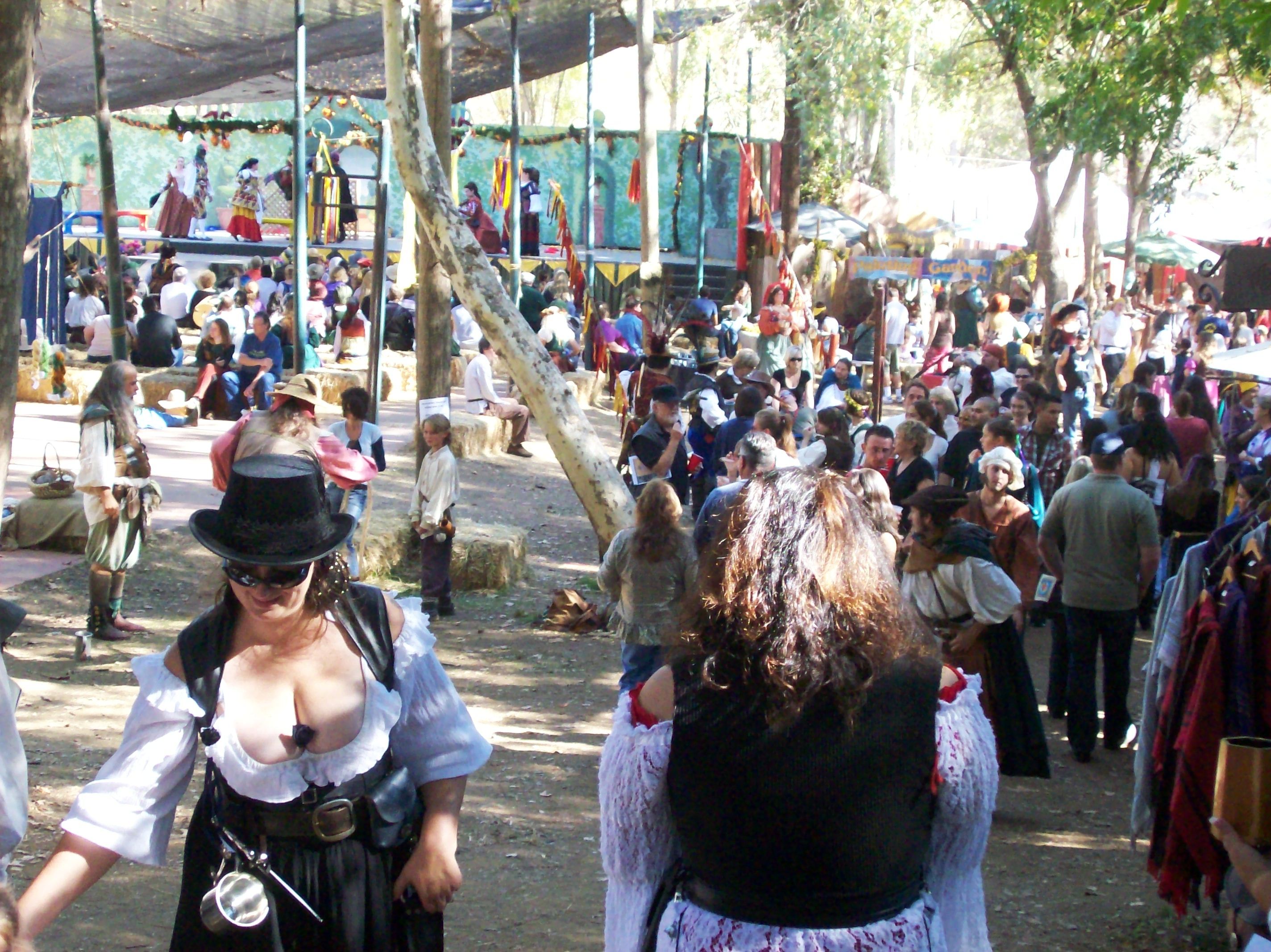
View down the main walkway at the Northern California Renaissance Faire - renfaire23
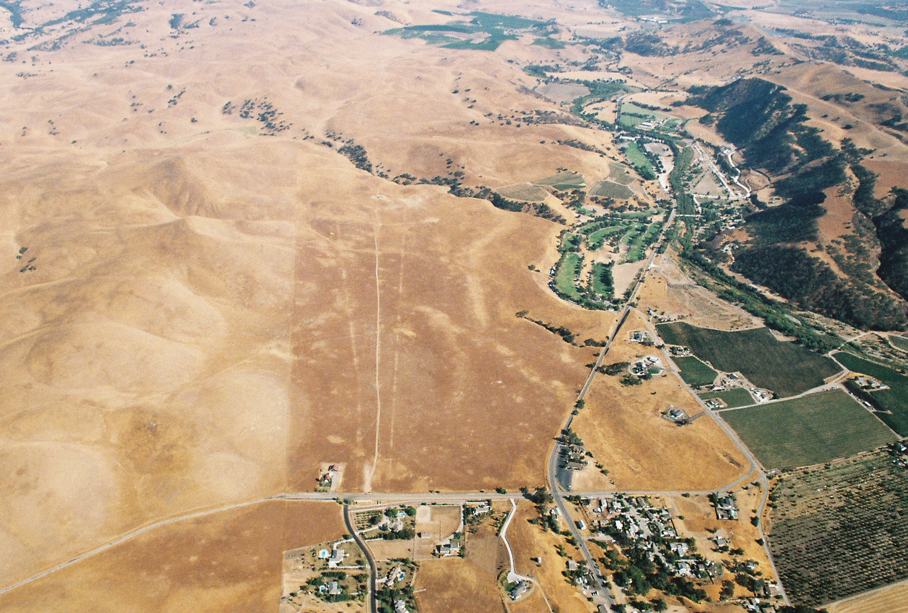
Hills above the Ren Faire
View from top
2007 Hollister Rally Ride 049

Day 9: Returning Home in 100 Degree Weather

Hills above the Ren Faire
View of MGM Grand from where I stayed. #iphonephotography #night #greens #colors #lasvegas #mgm #mgmgrand #cityscape
Just A Hint.
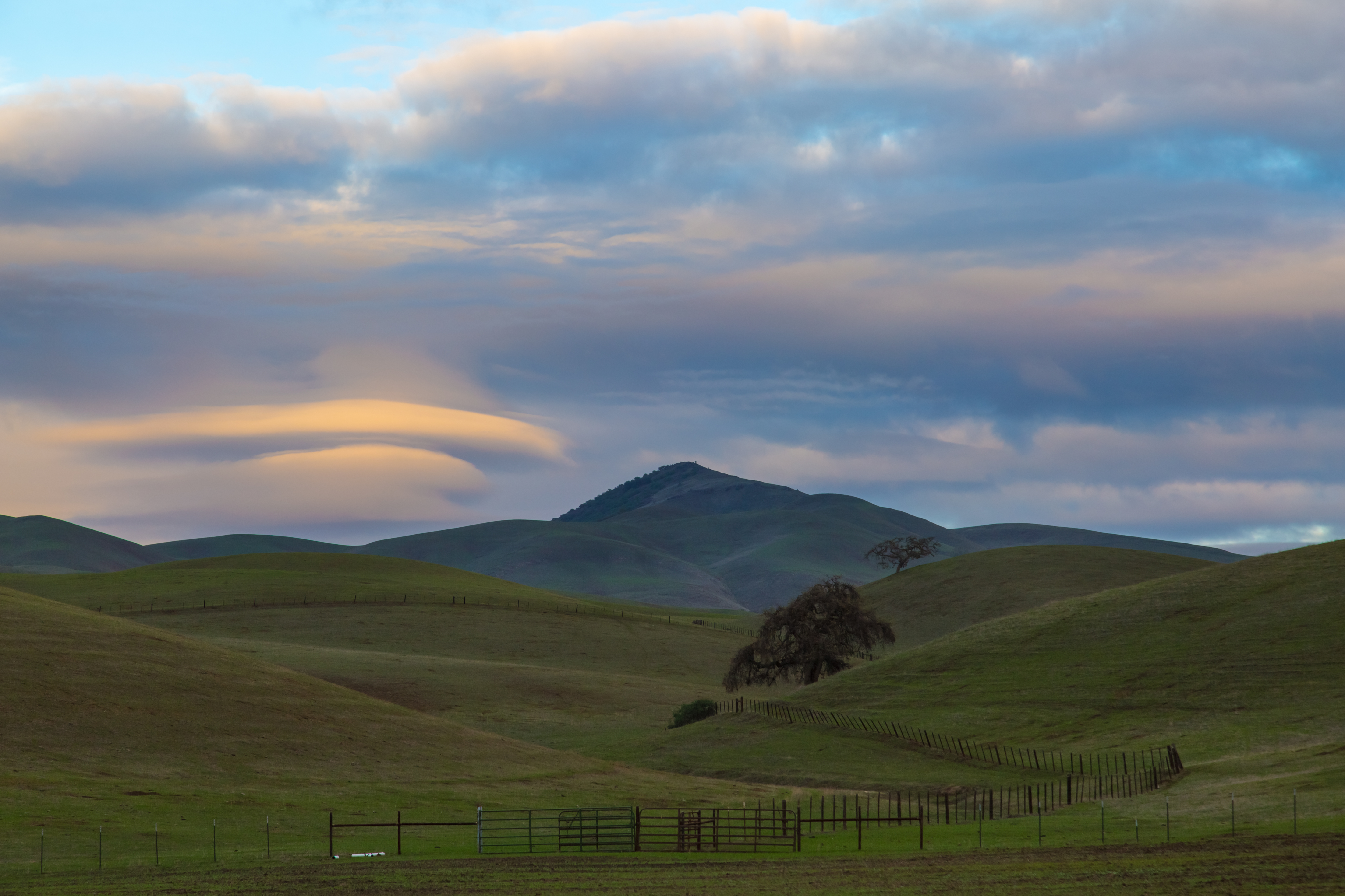
Good Ol San Benito County
Getting ready

Sunset with Open Arms
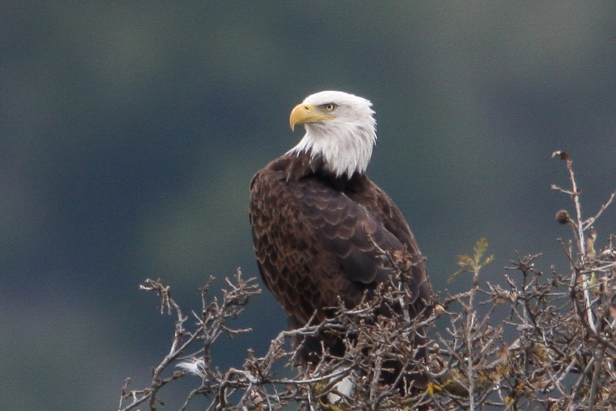
Bald Eagle
Santa Ana Valley Road-Sepia
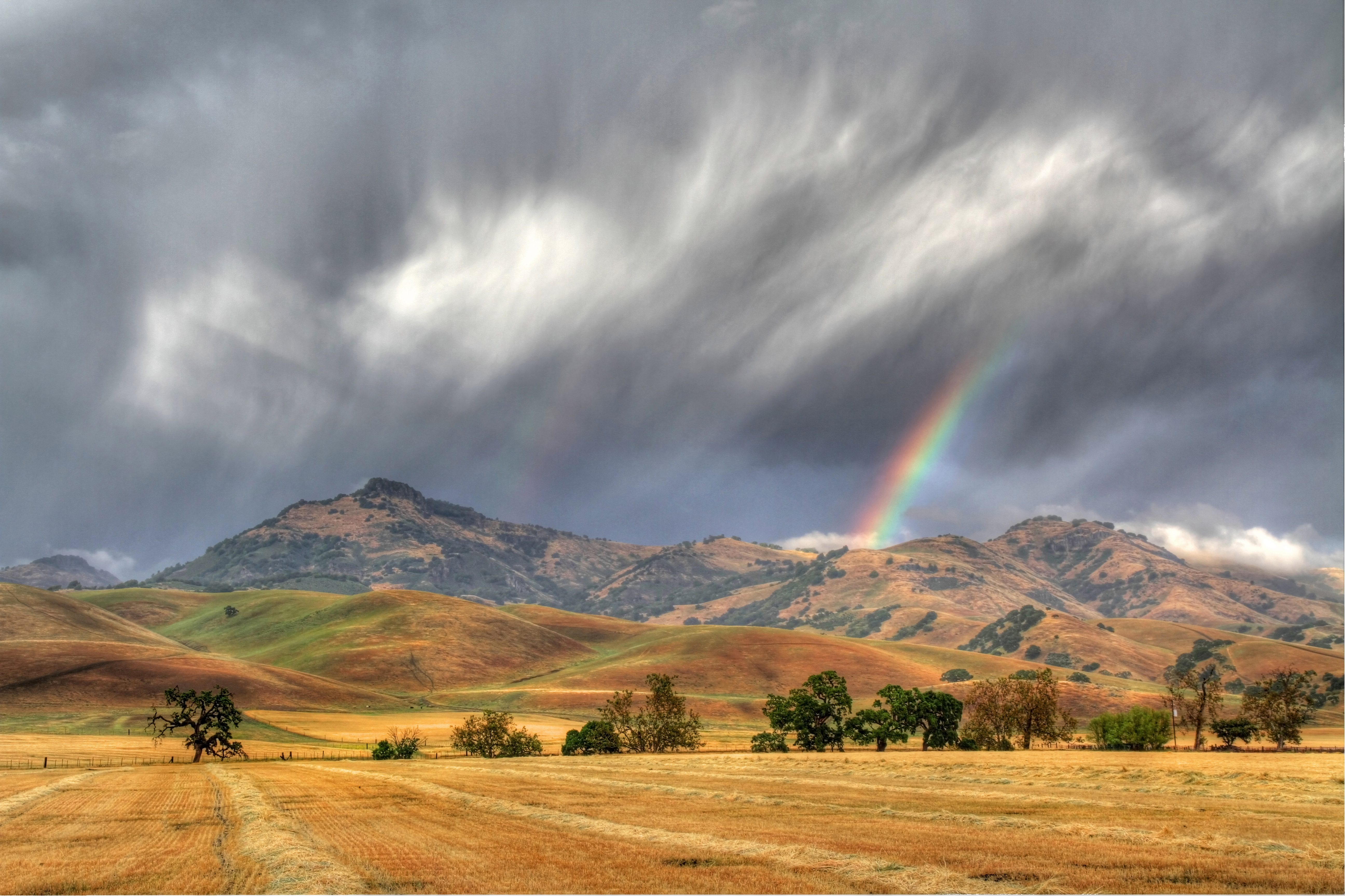
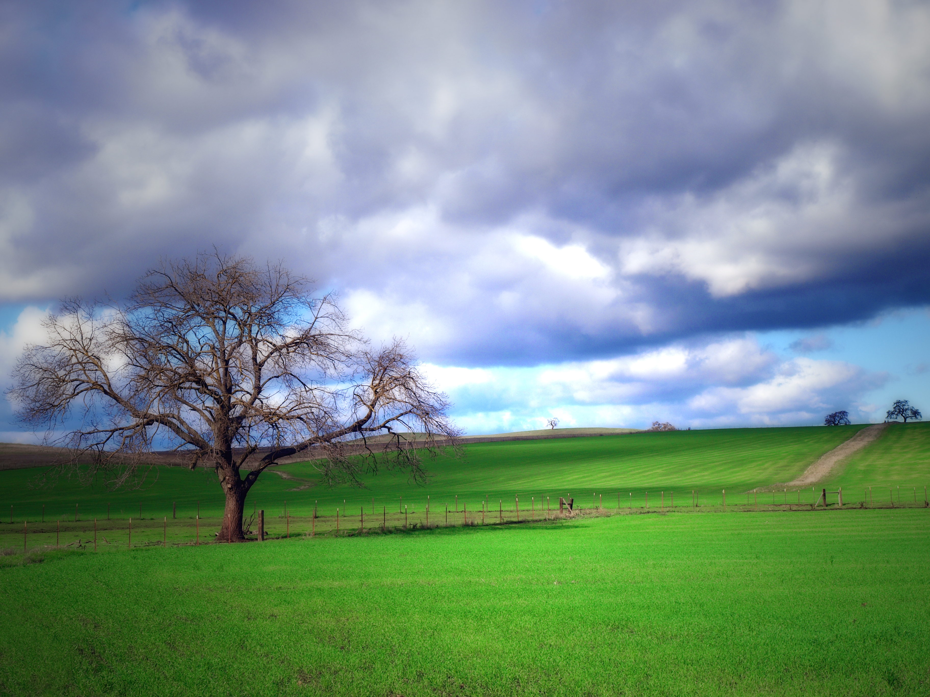
Late Storm

An End To A Perfect Day
Corner of CA Hwy 25 and San Felipe Road "Cottage Corners" Hollister California
On Fire
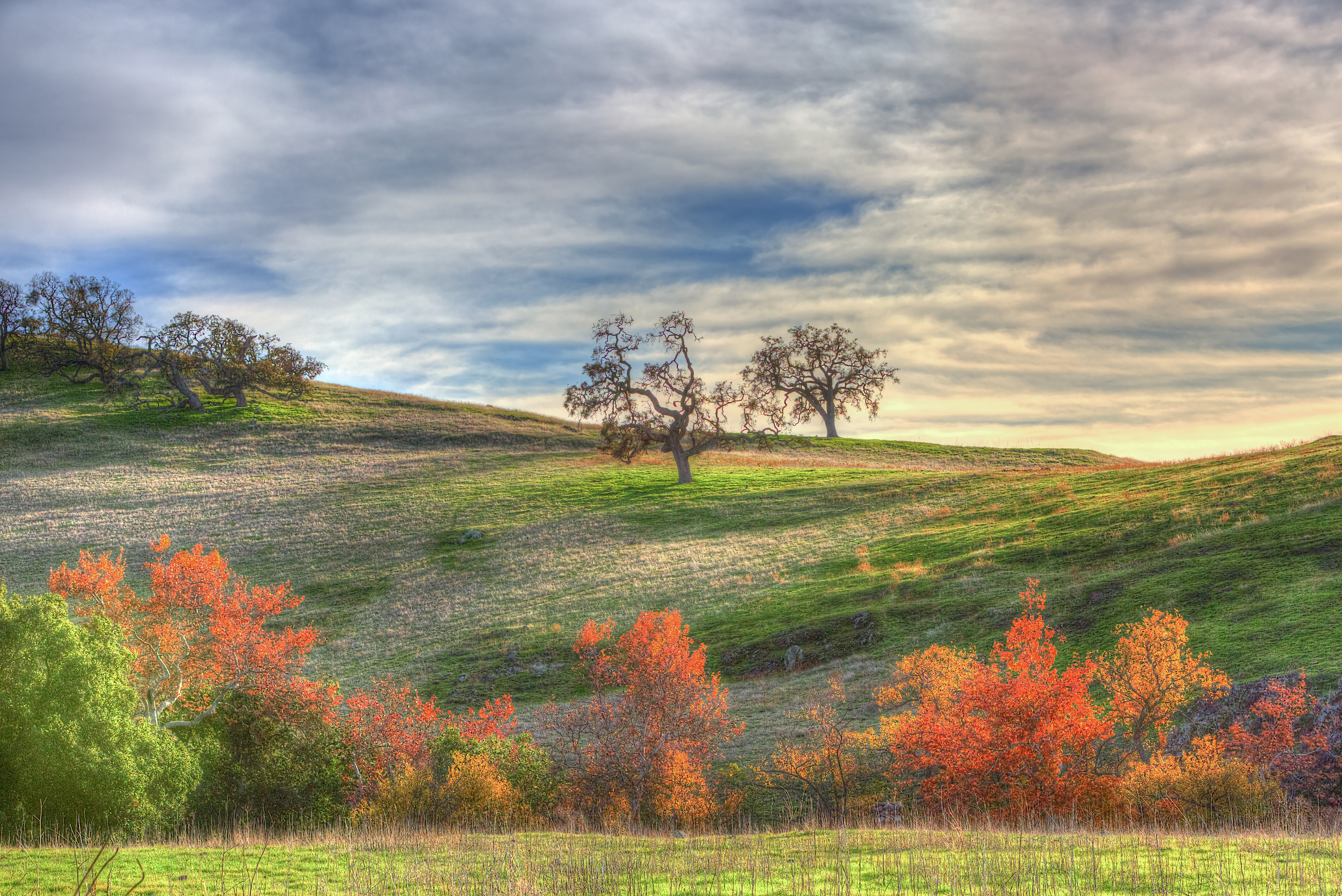
Fall Colors
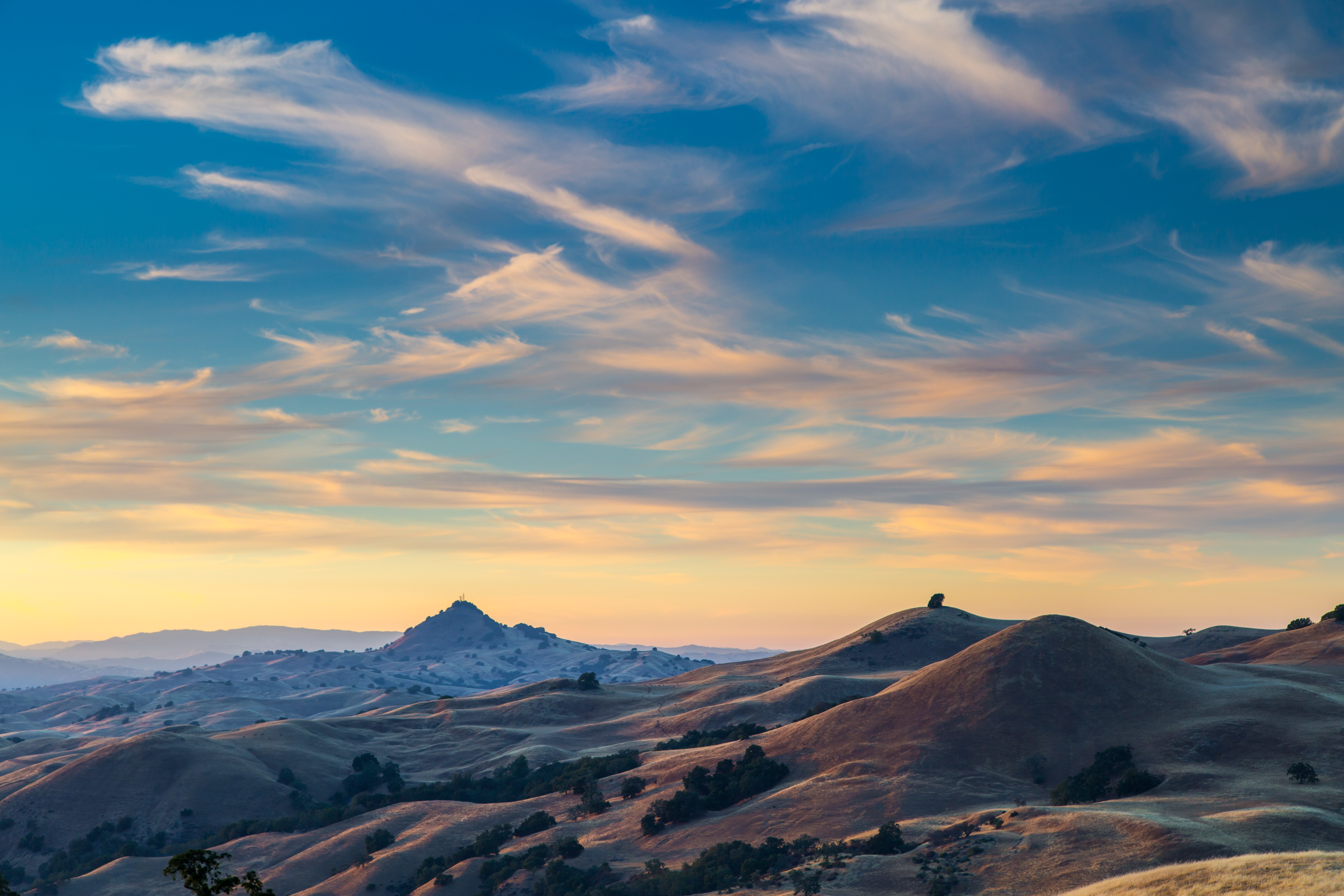
Wicked Skies
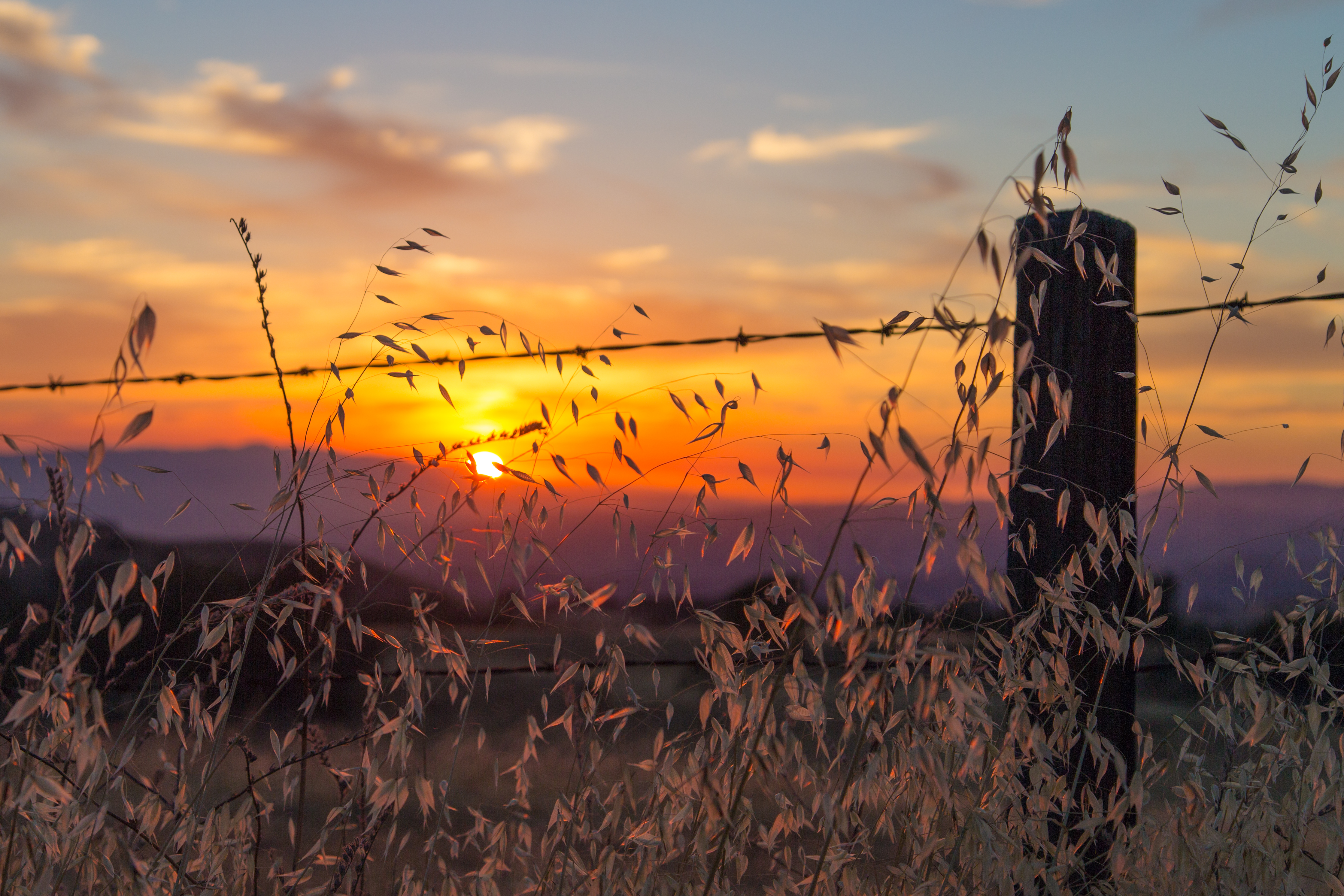
There Goes The Sun
Feeling Lonesome
A Touch of San Benito County
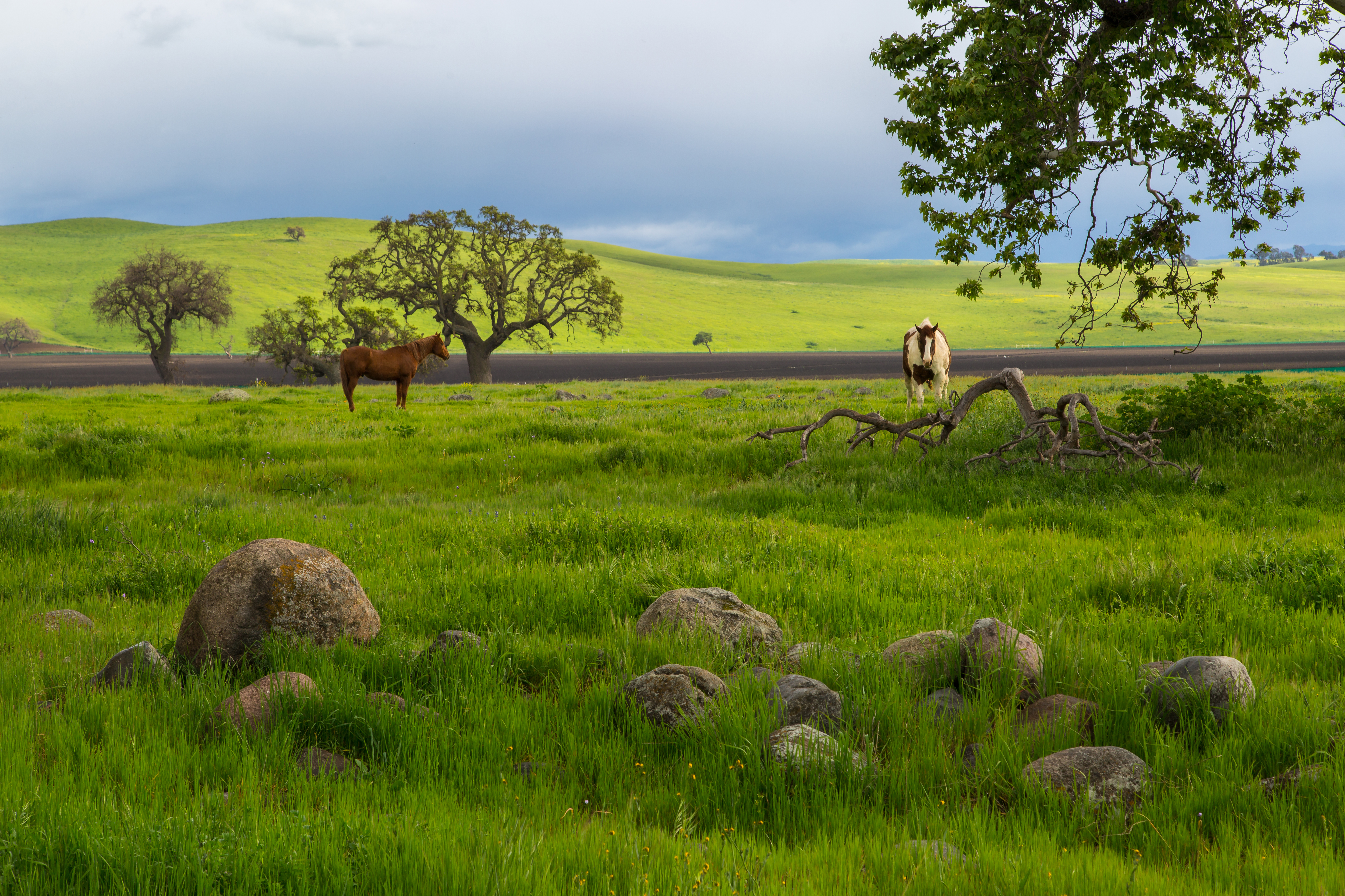
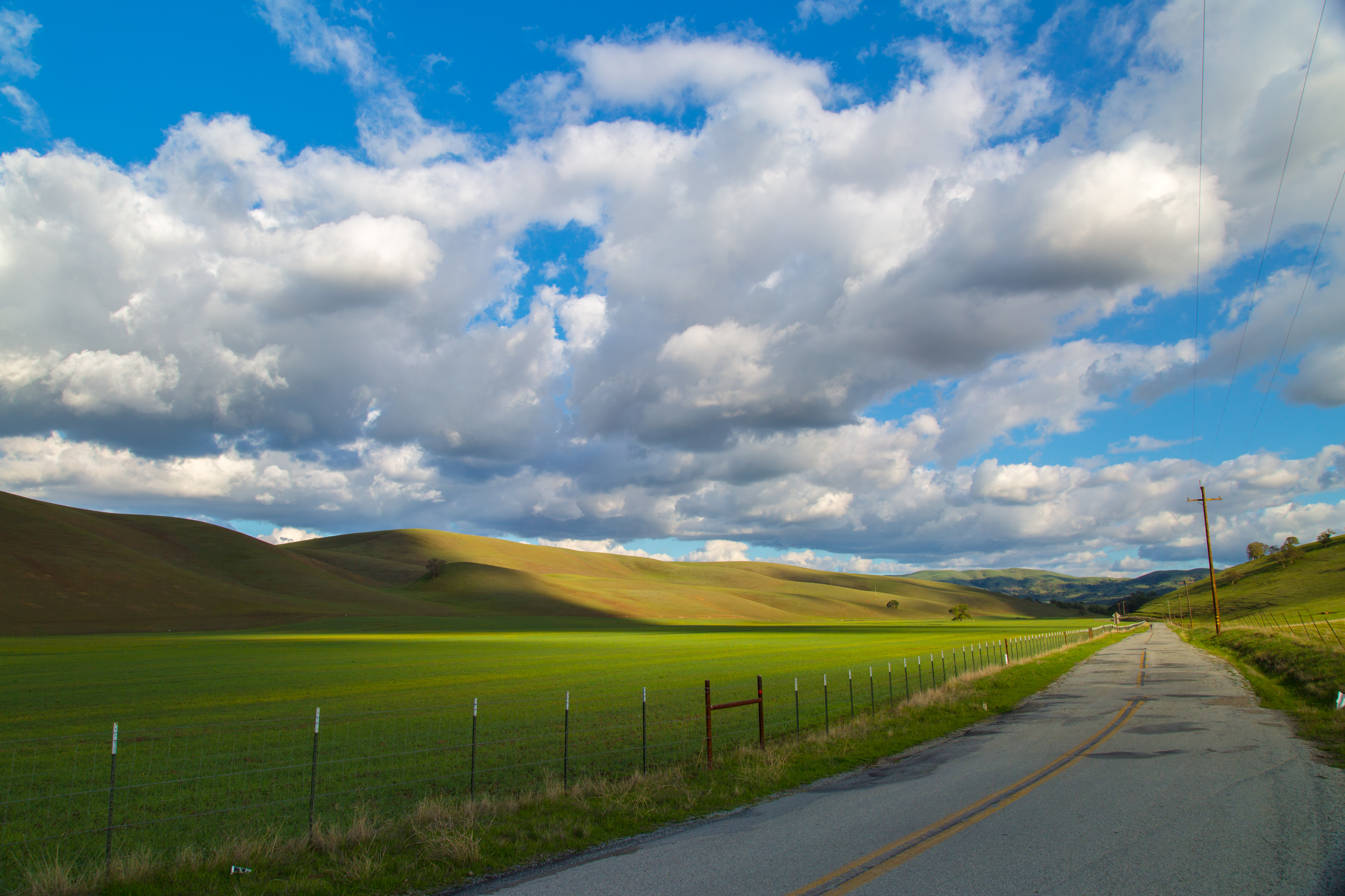
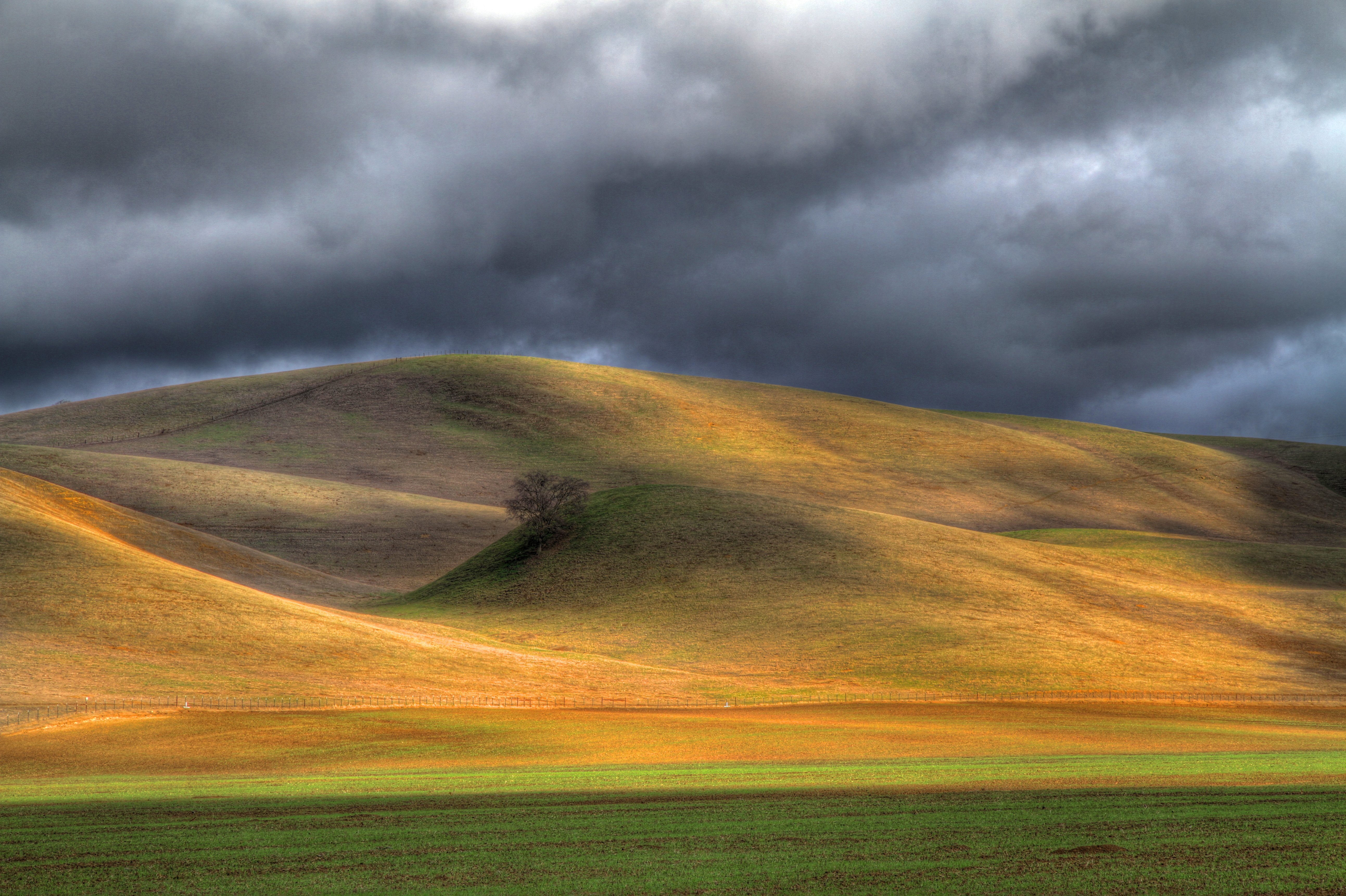
Country Scenery
0IQ180_7466-9
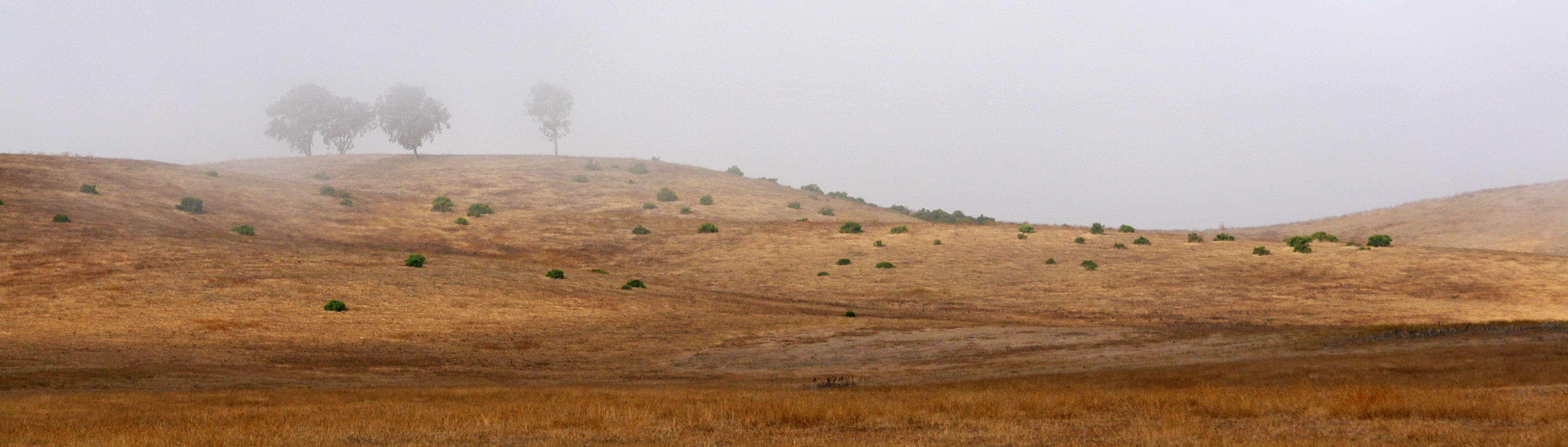
Sentrees in the Mist
Wake up everybody!

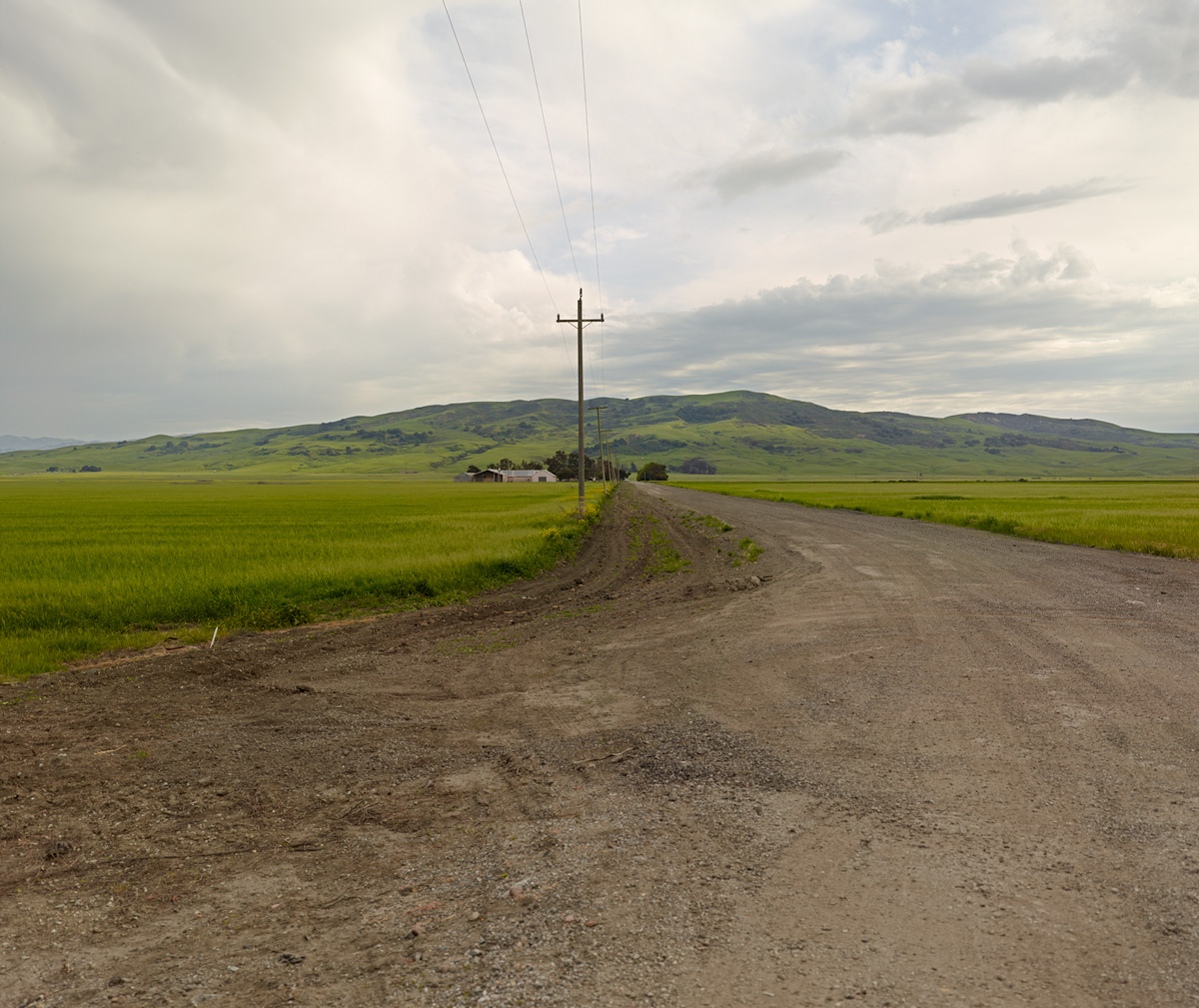
Farm in the desert - Hollister California
Strawberry fields
Topographic Map of San Jose-Sunnyvale-Santa Clara, CA, CA, USA
Find elevation by address:

Places in San Jose-Sunnyvale-Santa Clara, CA, CA, USA:
Places near San Jose-Sunnyvale-Santa Clara, CA, CA, USA:
Pacheco Pass Hwy, Gilroy, CA, USA
Fairview Rd, Hollister, CA, USA
Casa De Fruta
12280 Pacheco Pass Hwy
8100 Frazier Lake Rd
7000 Daniel Ct
Pacheco Pass Hwy, Gilroy, CA, USA
El Camino Real, Gilroy, CA, USA
US-, San Juan Bautista, CA, USA
Manfroy Ranch Road
Gilroy
7680 Monterey Street
1030 W 10th St
611 1st St
Muraoka Dr, Gilroy, CA, USA
Byers Street
Team Patereau Property Management
2595 Church Ave
2595 Church Ave
1920 Portmarnock Way
Recent Searches:
- Elevation of Corso Fratelli Cairoli, 35, Macerata MC, Italy
- Elevation of Tallevast Rd, Sarasota, FL, USA
- Elevation of 4th St E, Sonoma, CA, USA
- Elevation of Black Hollow Rd, Pennsdale, PA, USA
- Elevation of Oakland Ave, Williamsport, PA, USA
- Elevation of Pedrógão Grande, Portugal
- Elevation of Klee Dr, Martinsburg, WV, USA
- Elevation of Via Roma, Pieranica CR, Italy
- Elevation of Tavkvetili Mountain, Georgia
- Elevation of Hartfords Bluff Cir, Mt Pleasant, SC, USA