Elevation of Paicines, CA, USA
Location: United States > California > San Benito County >
Longitude: -121.27887
Latitude: 36.7289127
Elevation: 208m / 682feet
Barometric Pressure: 99KPa
Elevation Map:
Satellite Map:
Related Photos:
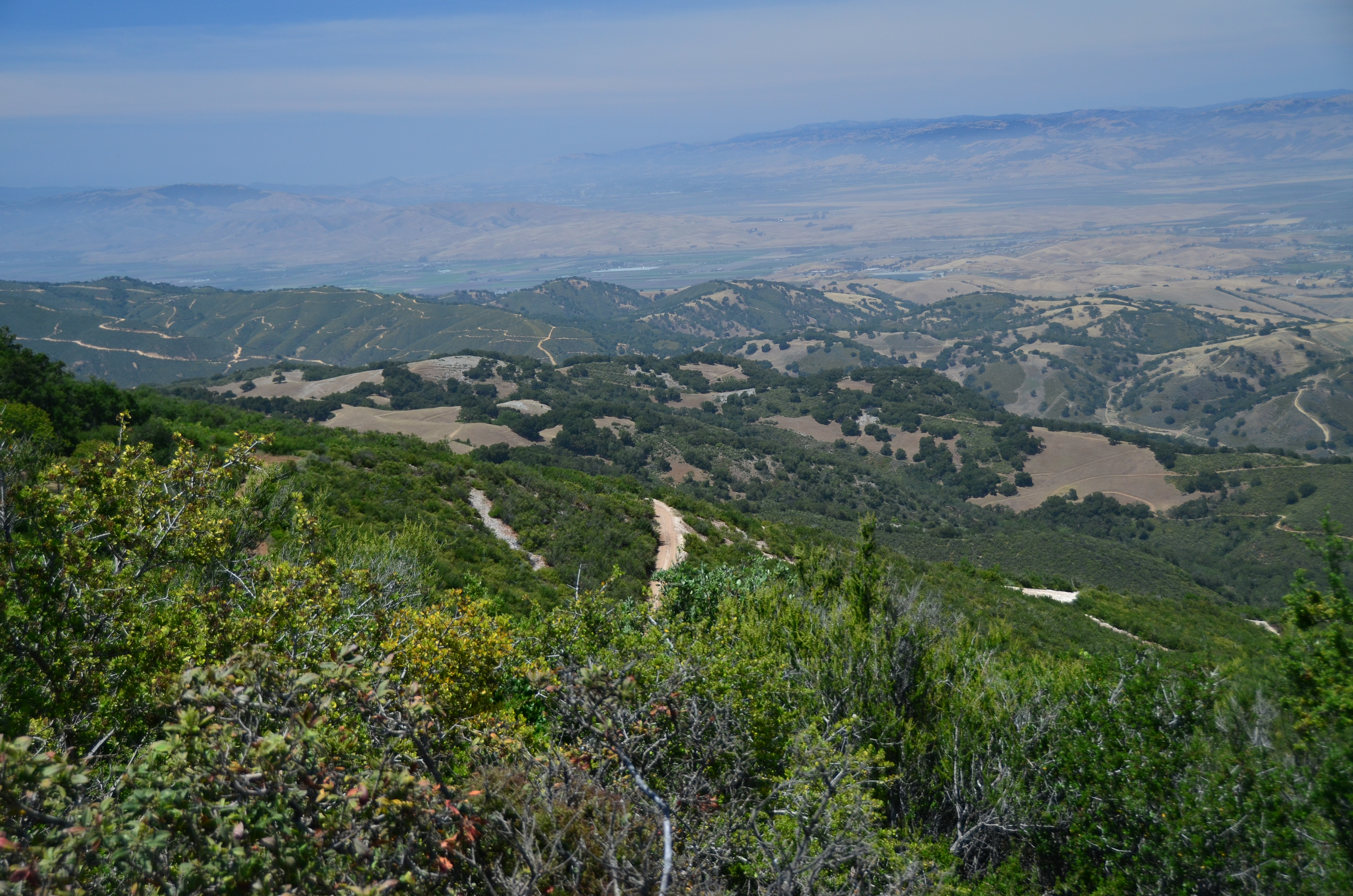
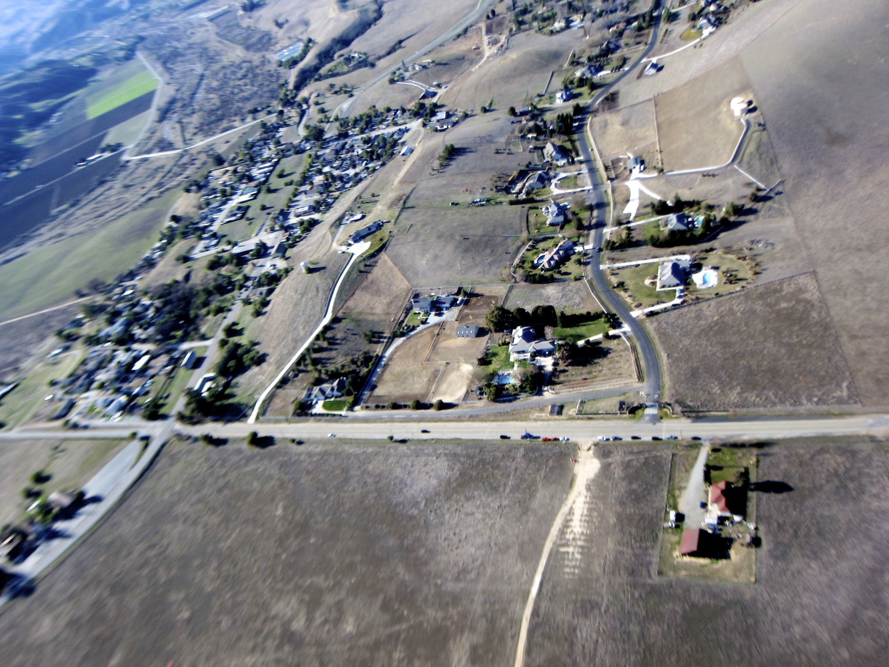
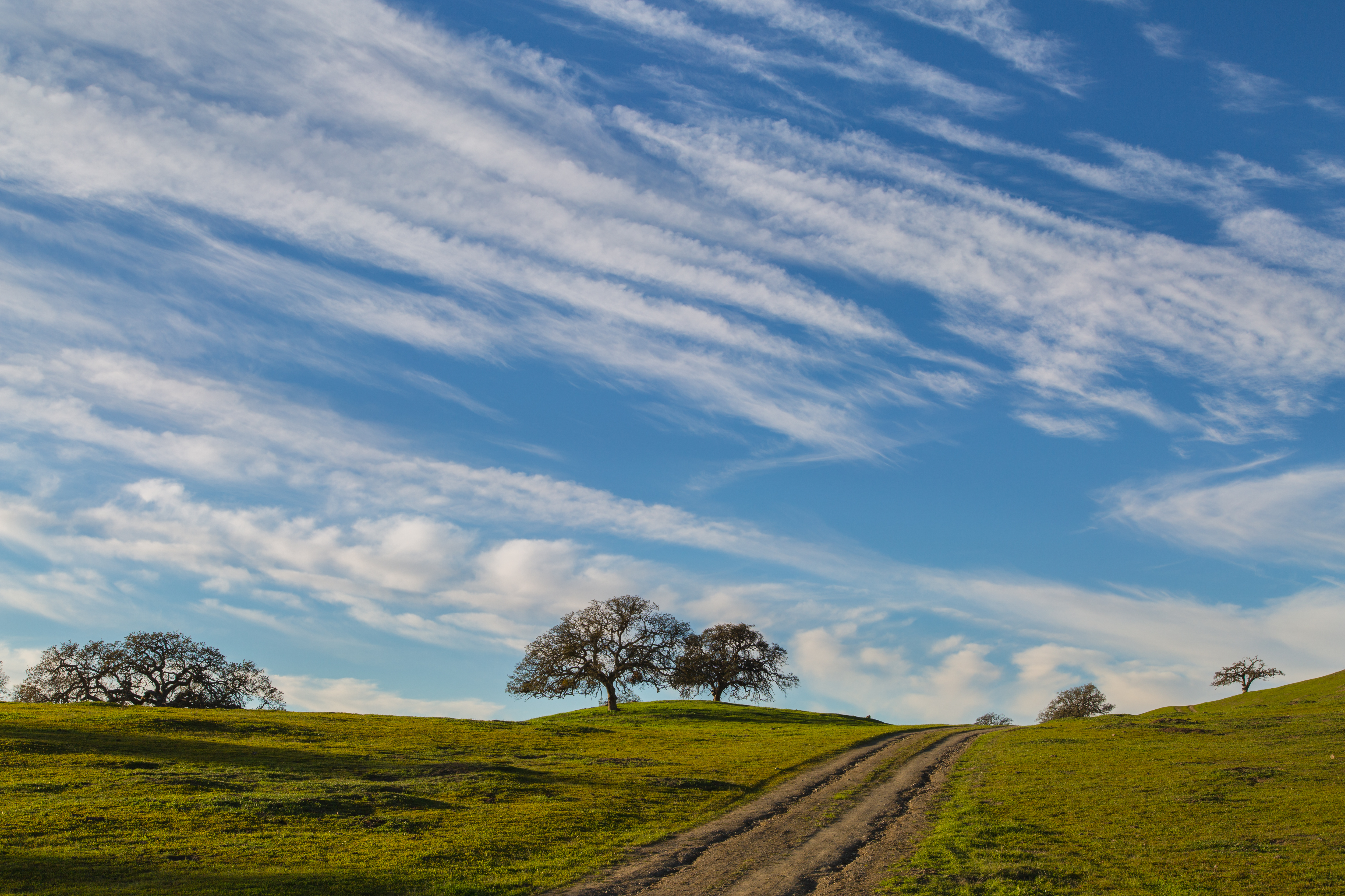
View from Hector Heights

Killer View

Catching Some Rays.
Nice View From Here
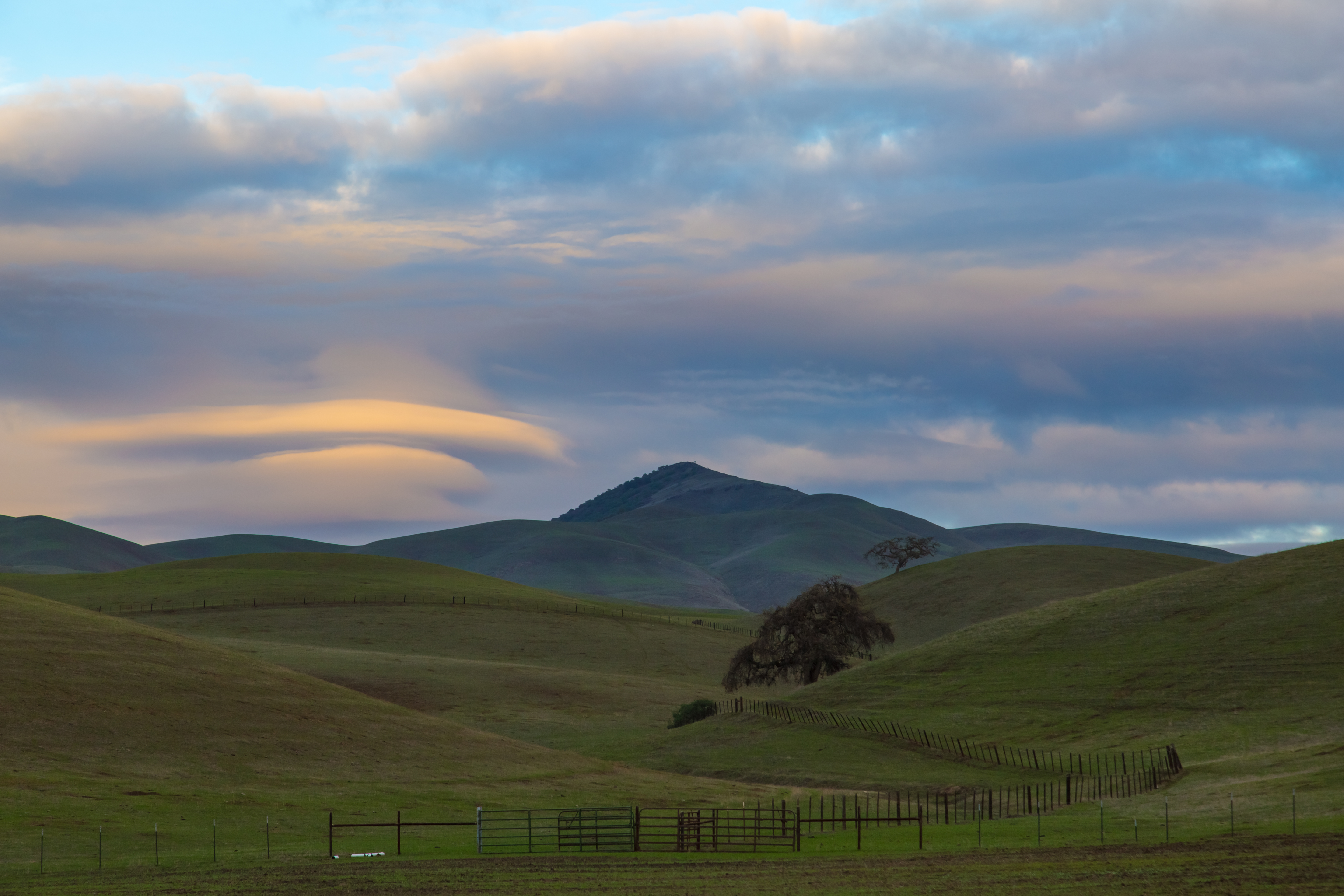
Hills in Tres Pinos, CA
Hills in Tres Pinos, CA
Tres Pinos, CA
View from Hector Heights
Spring is here !!!
View from Bridgeport marina
Clover at it's peak
Feeling Lonesome
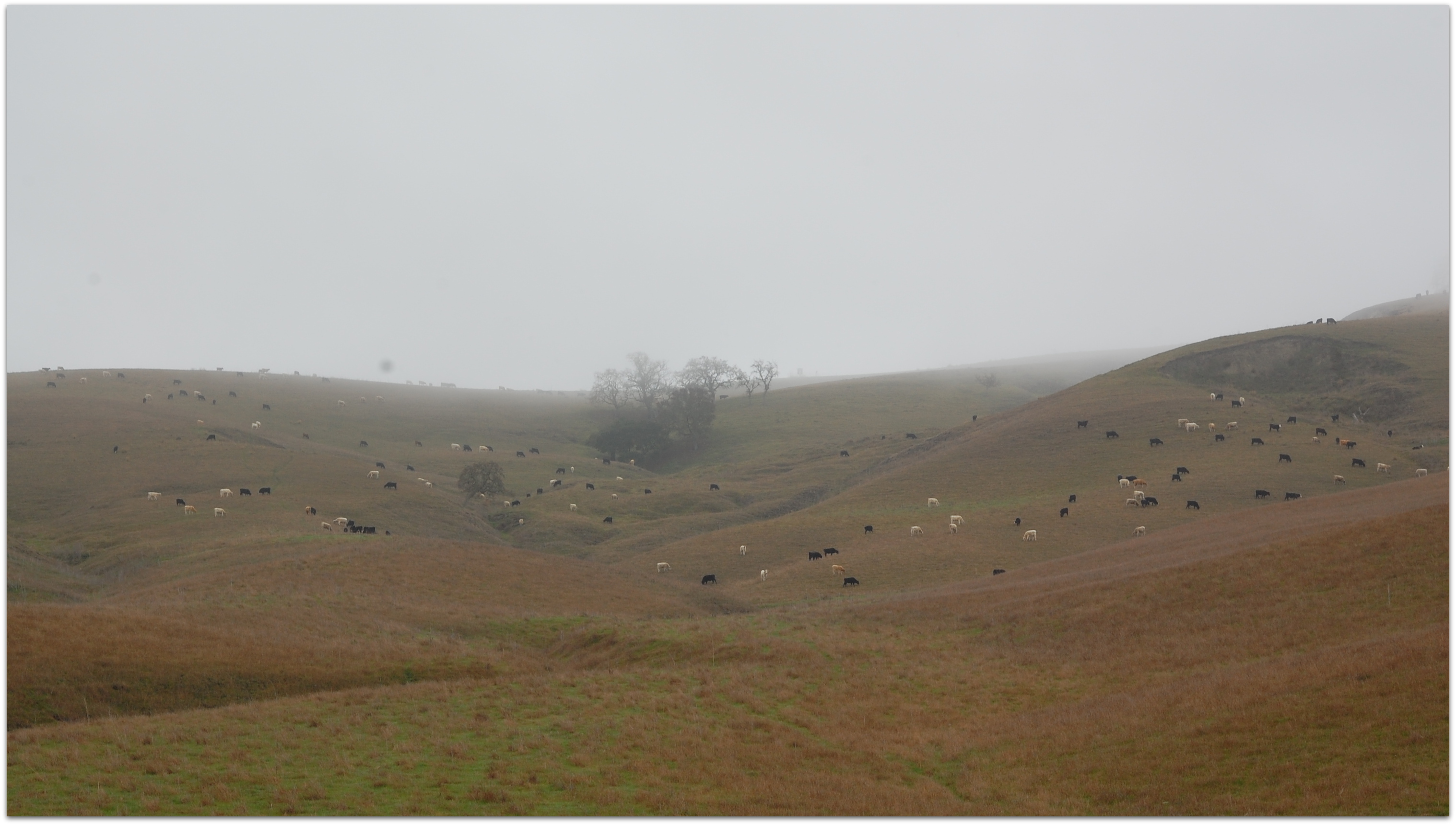
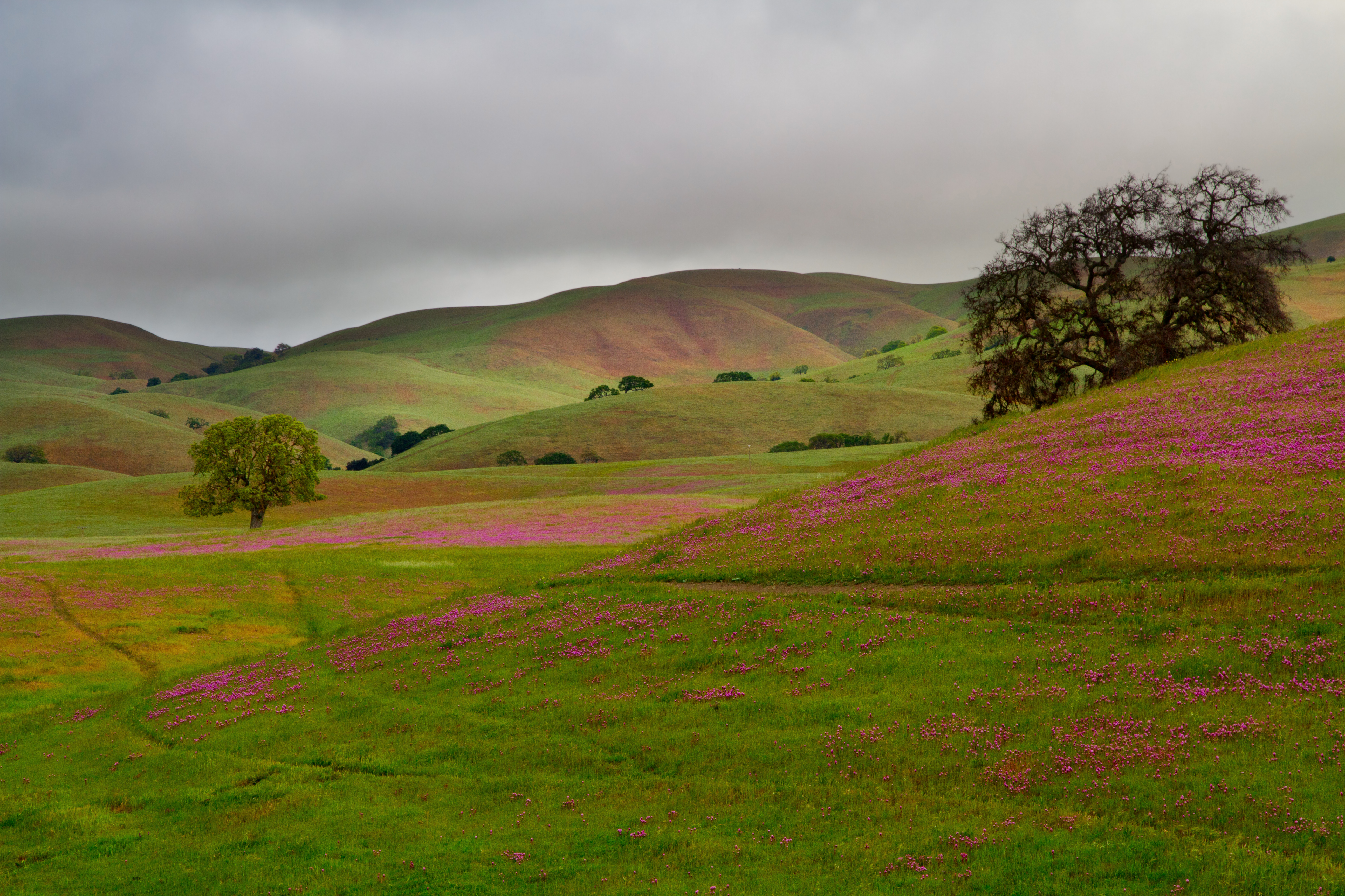
Good Ol San Benito County

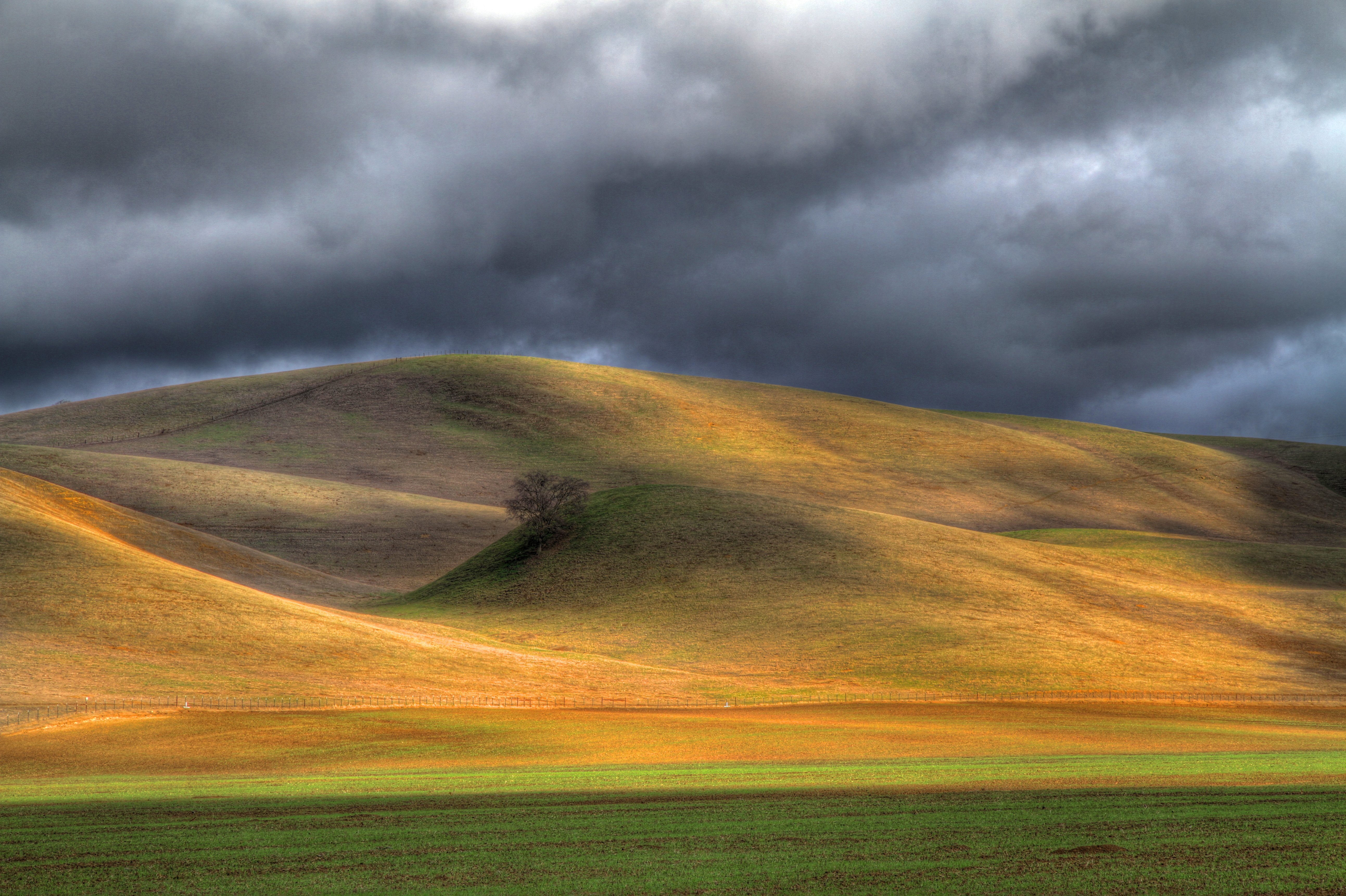
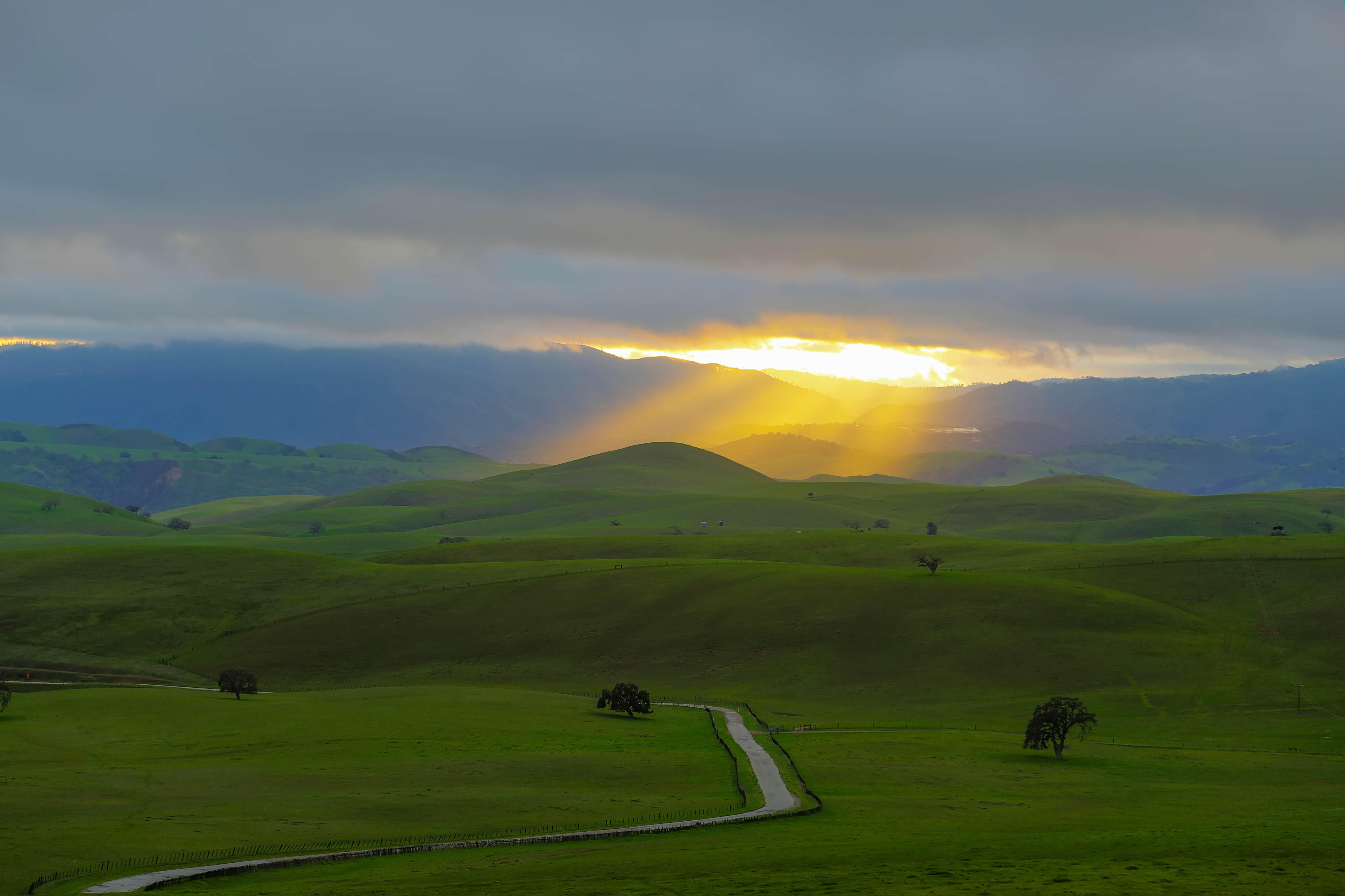
Late Storm
Another great weekend in Pinnacles State Park. Good weather and fantastic climbing.

An End To A Perfect Day

Wicked Skies

Fading Light
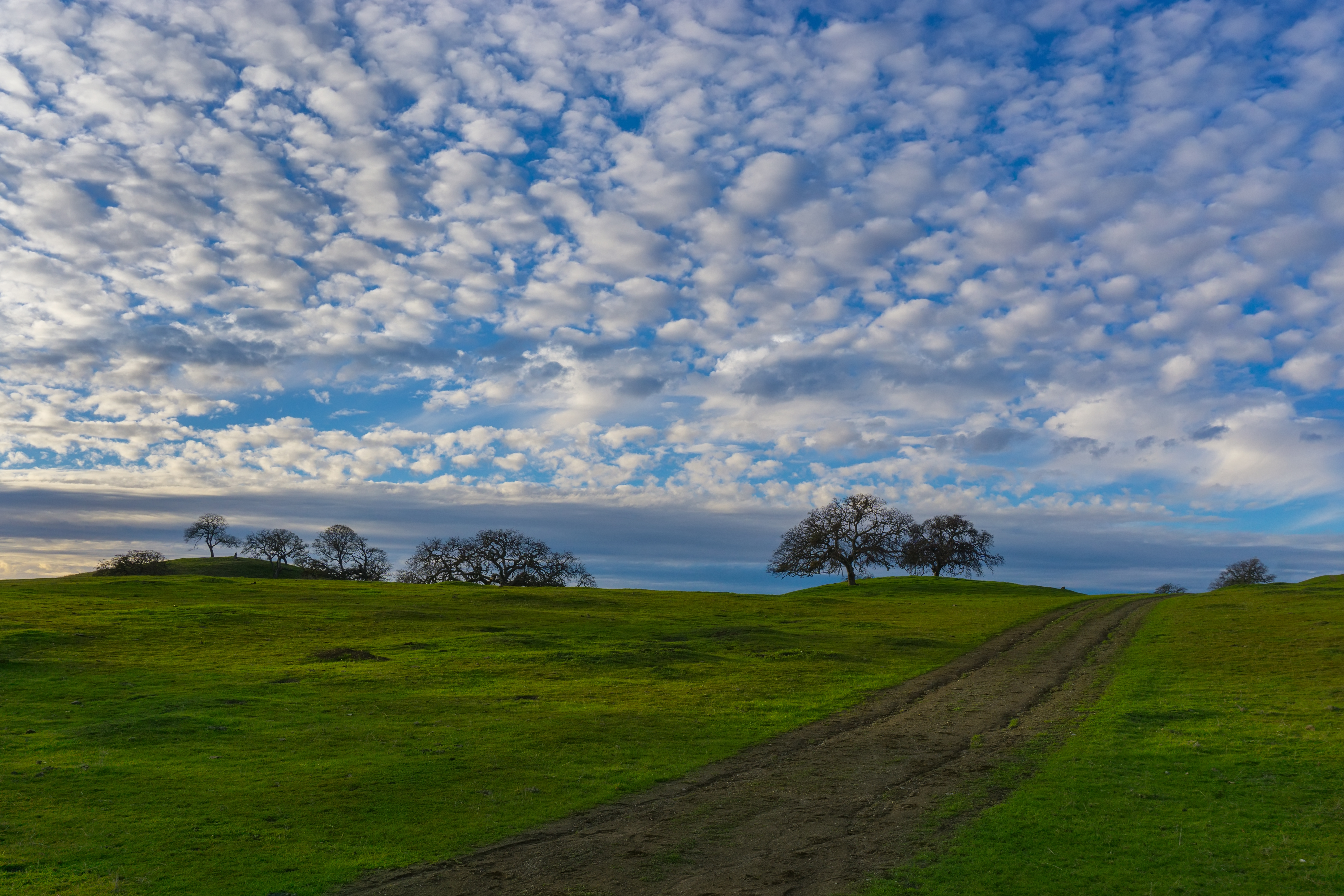
Sky full of cotton
.
There's gold in them thar hills.
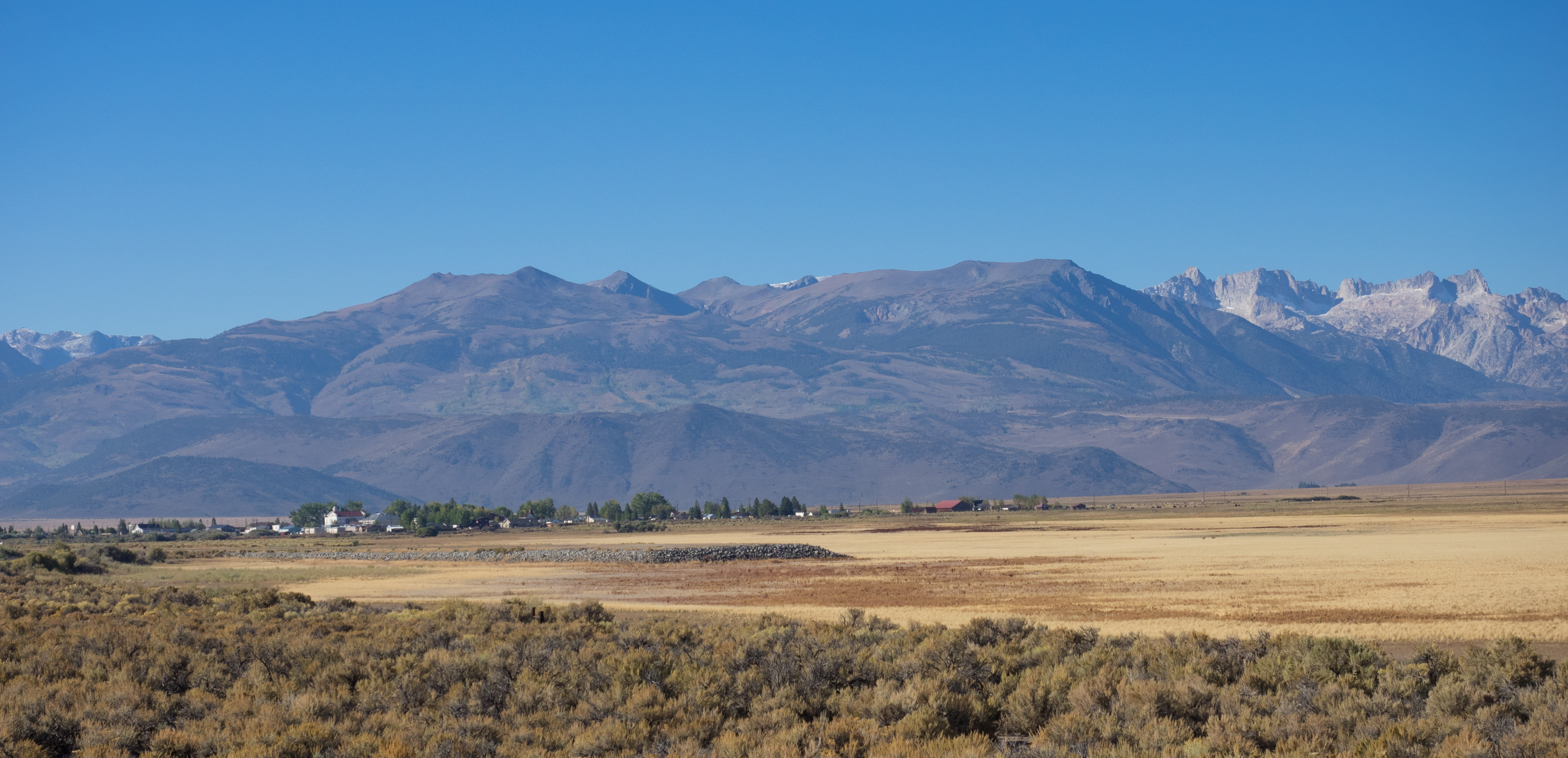
A Touch of San Benito County
Heading Over To 2015.
Just A Hint.
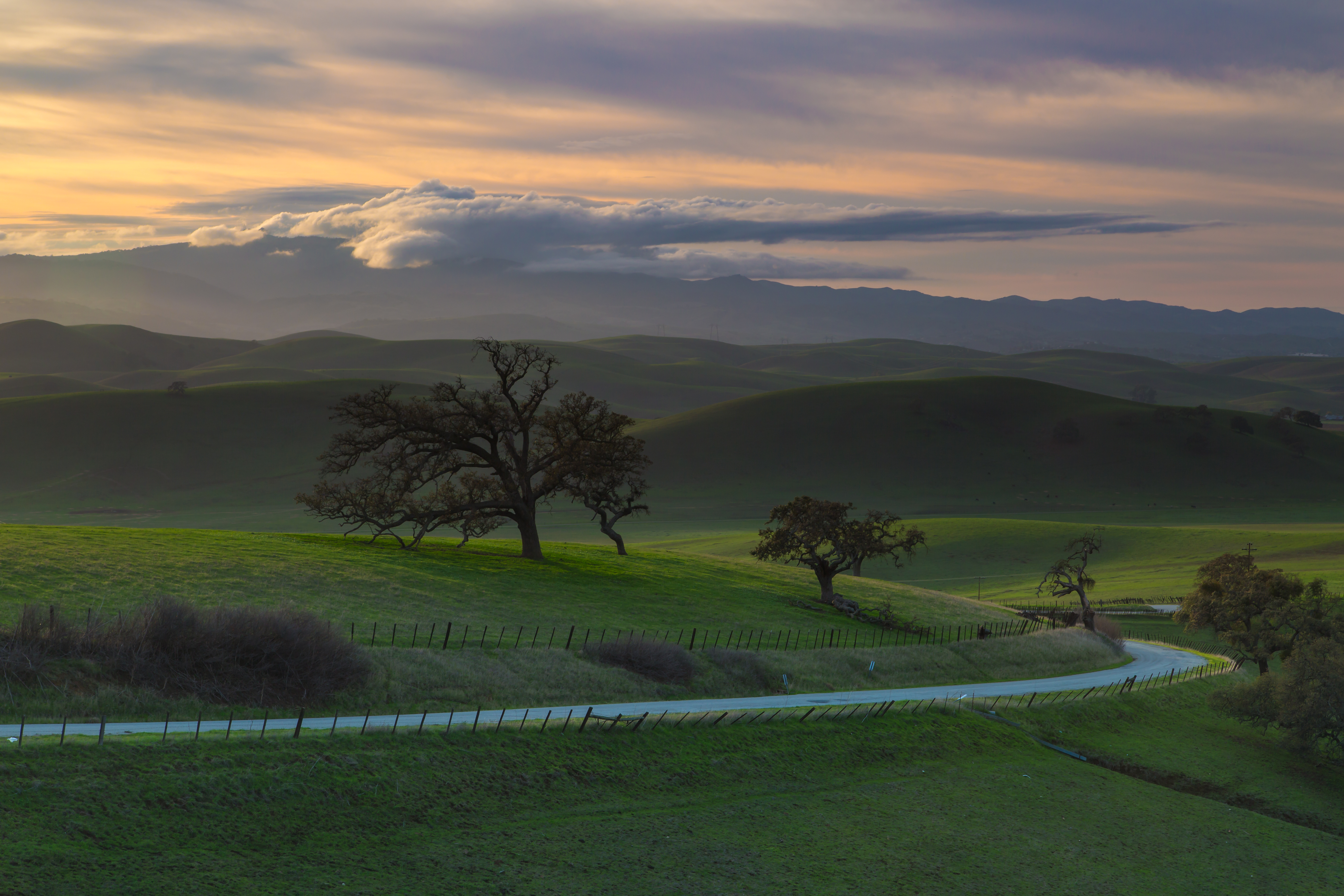
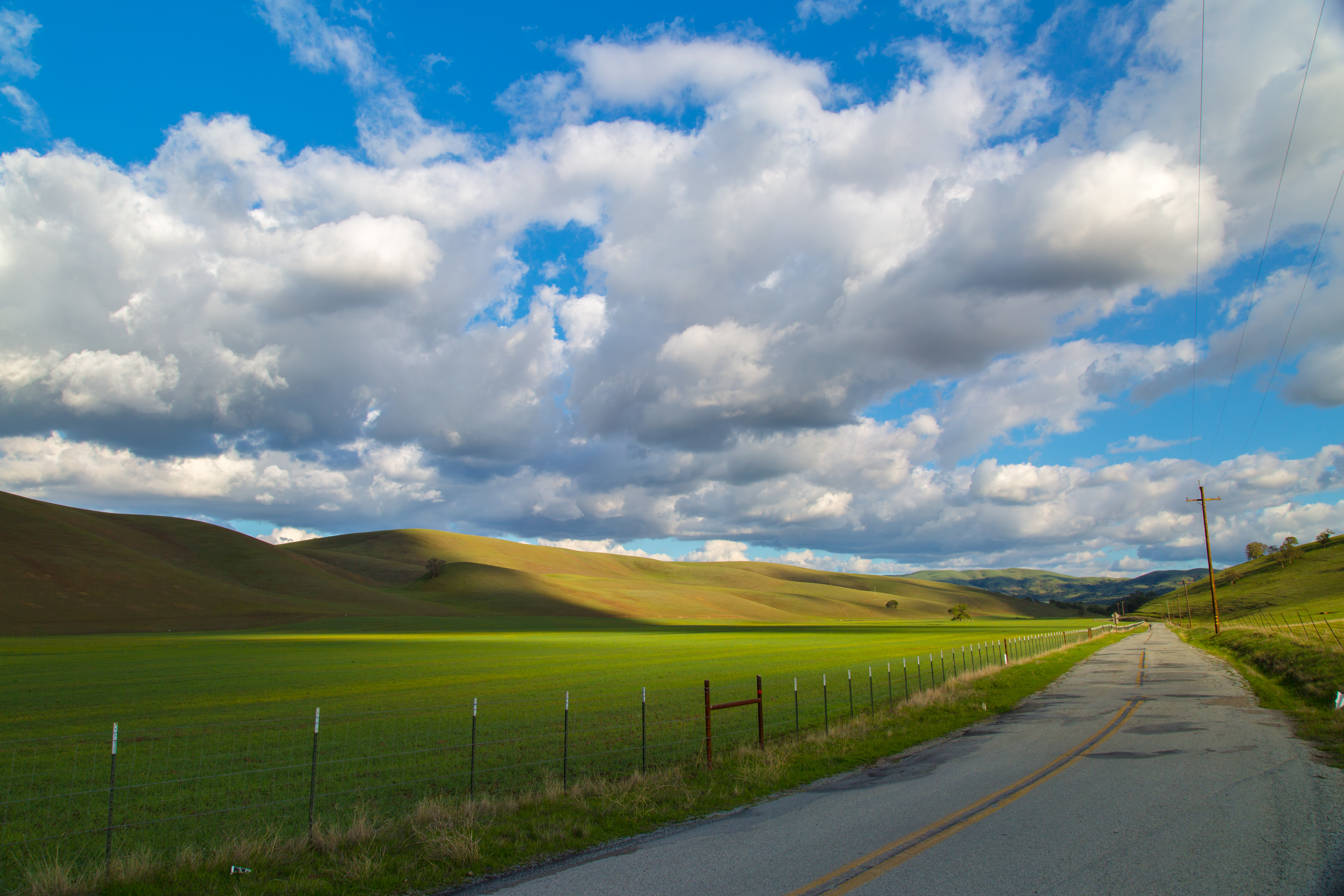
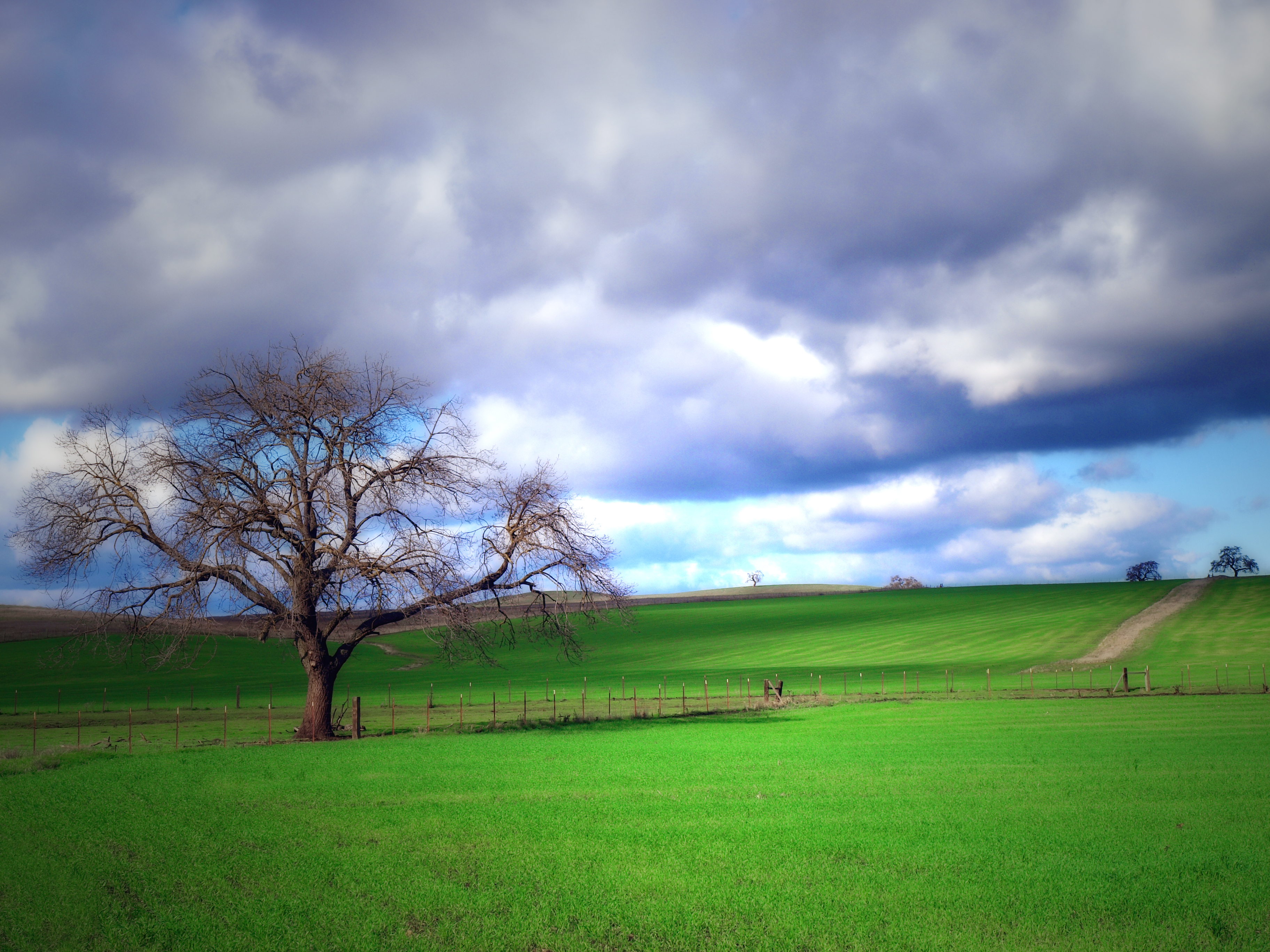
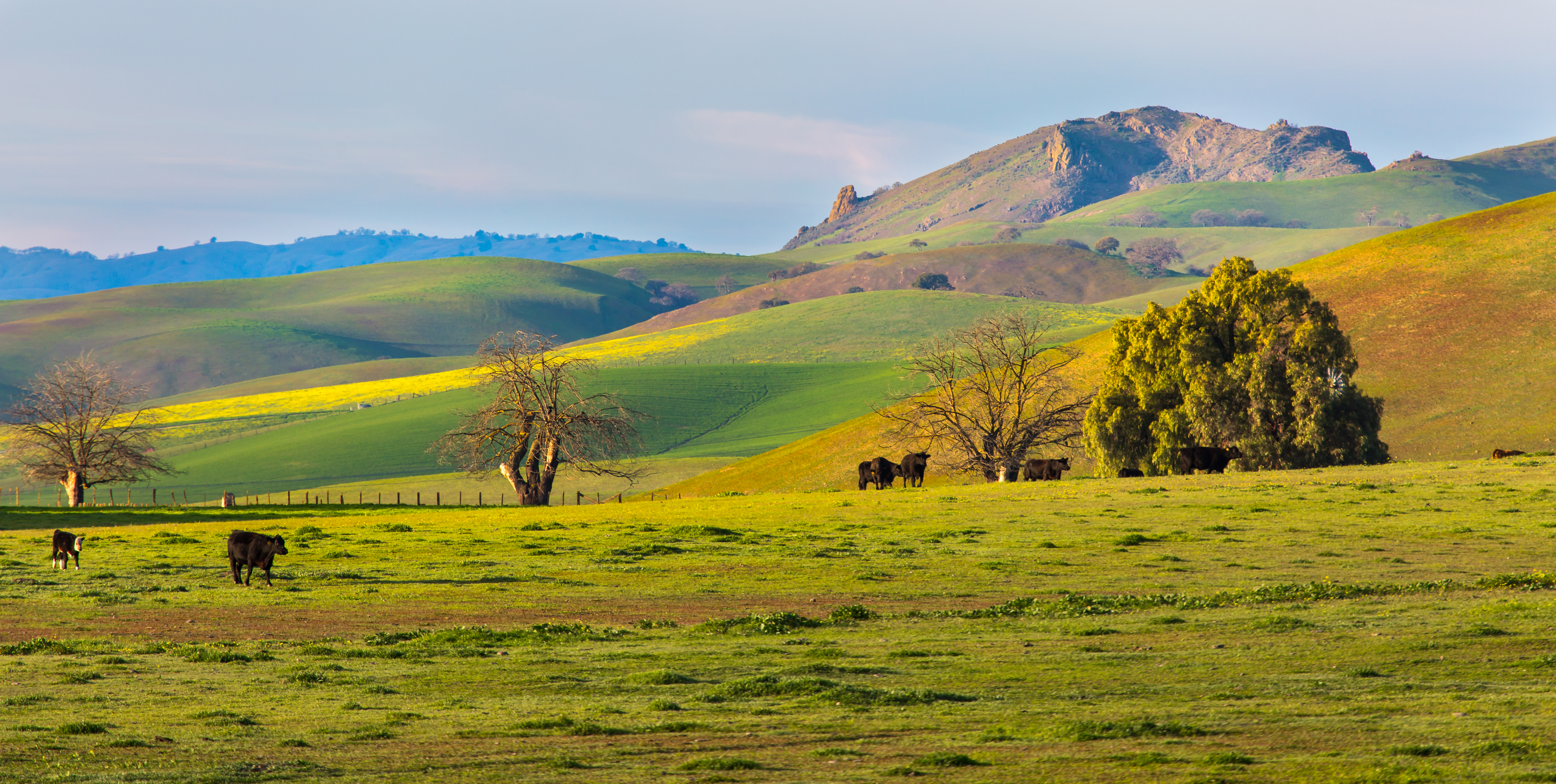
It's Green Again.
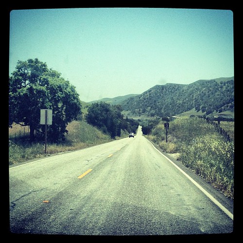
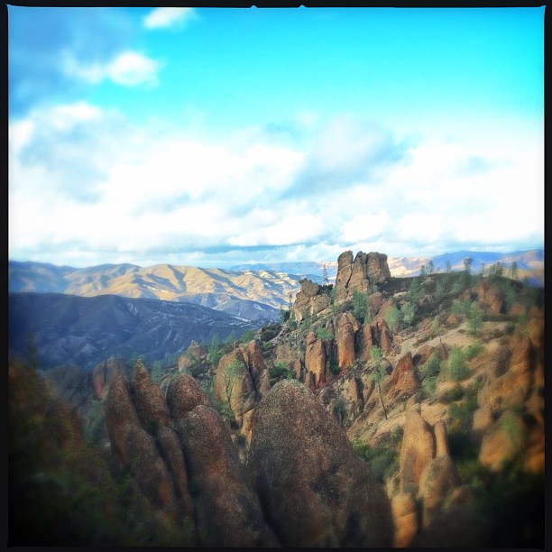
On the way to Pinnacles National Monument!
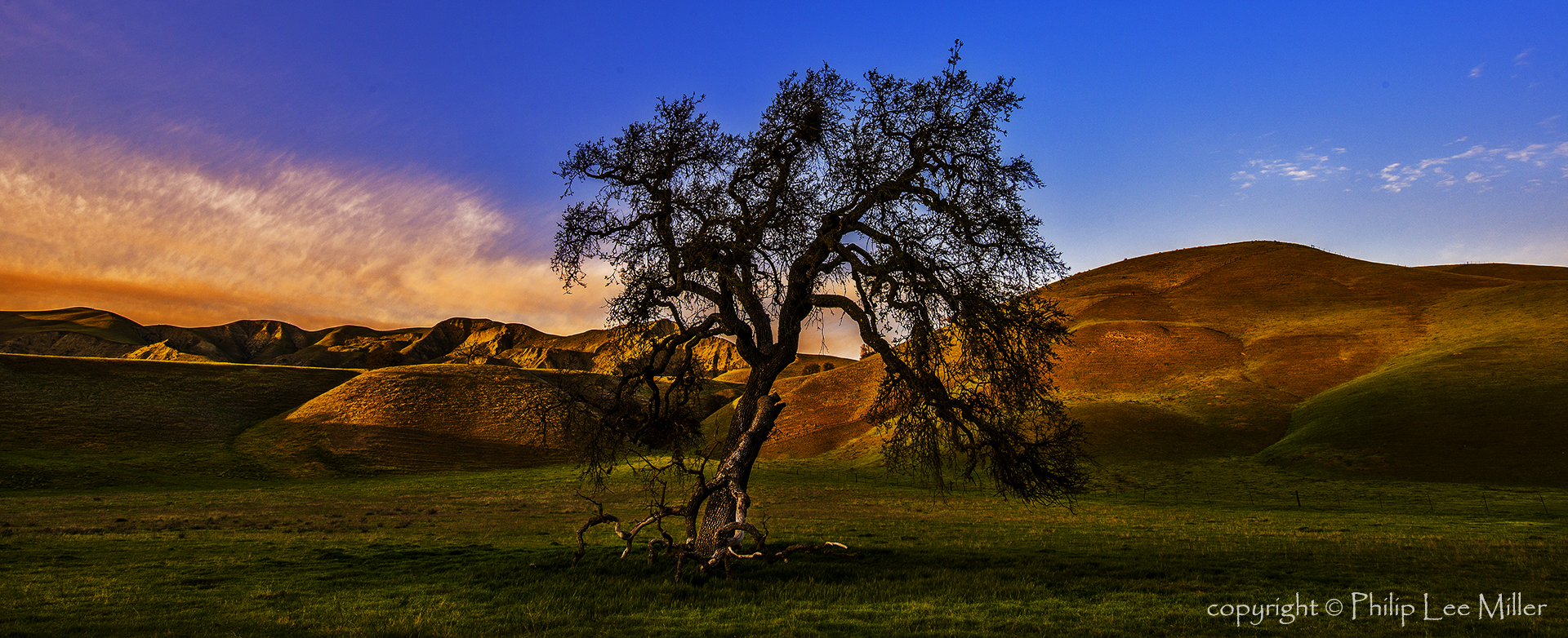
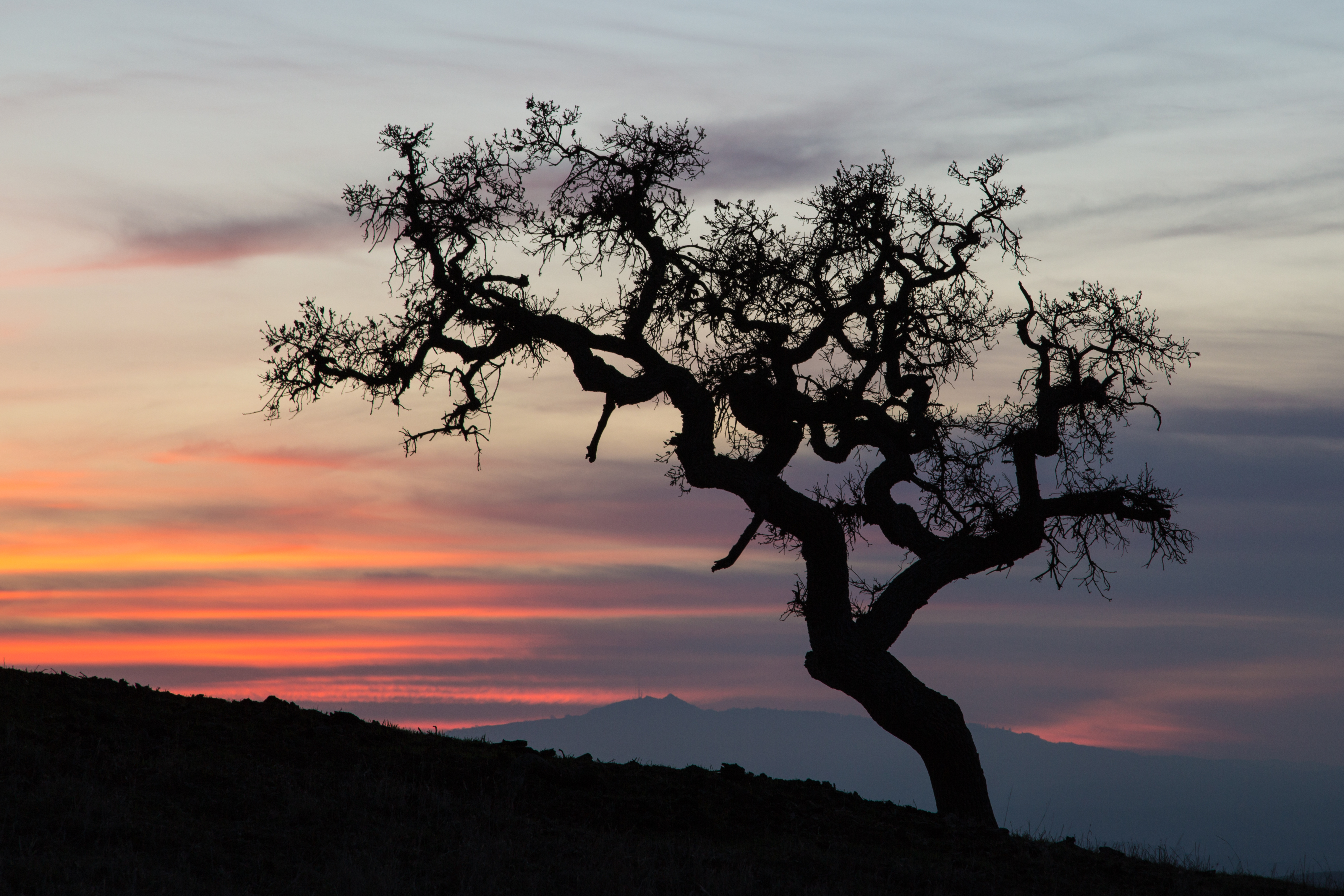
Panoche Oak (explored)
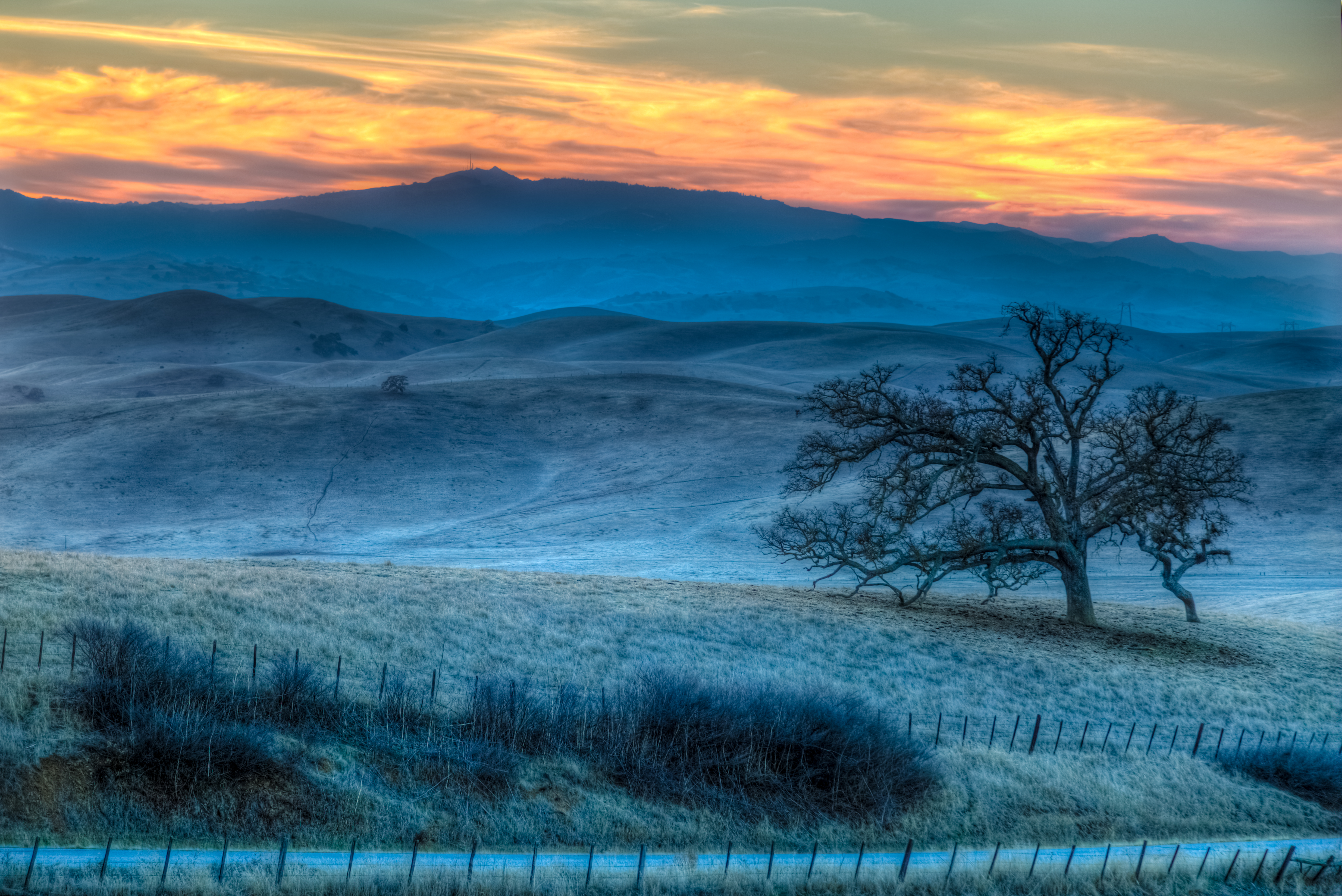
Dying Light
Last Light

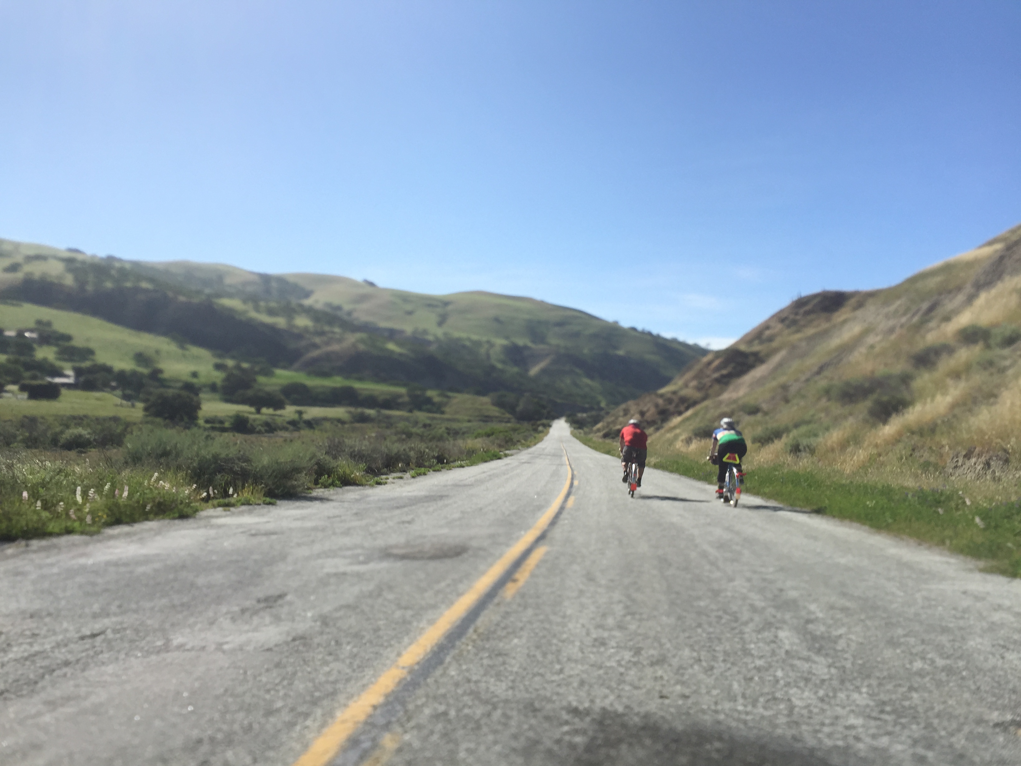
Wake up everybody!
Topographic Map of Paicines, CA, USA
Find elevation by address:

Places in Paicines, CA, USA:
Places near Paicines, CA, USA:
1700 Murphy Rd
16225 Cienega Rd
Tres Pinos
74 Saddle Ct
Ridgemark Dr, Hollister, CA, USA
Quien Sabe Rd, Tres Pinos, CA, USA
Hollister
Homestead Avenue
Jarvis Lane
758 Jarvis Ln
14665 Panoche Rd
14665 Panoche Rd
14665 Panoche Rd
1700 Shelton Dr
San Jose-sunnyvale-santa Clara, Ca
Fremont Peak
3478 San Juan Canyon Rd
Fairview Rd, Hollister, CA, USA
Pacheco Pass Hwy, Gilroy, CA, USA
410 The Alameda
Recent Searches:
- Elevation of Corso Fratelli Cairoli, 35, Macerata MC, Italy
- Elevation of Tallevast Rd, Sarasota, FL, USA
- Elevation of 4th St E, Sonoma, CA, USA
- Elevation of Black Hollow Rd, Pennsdale, PA, USA
- Elevation of Oakland Ave, Williamsport, PA, USA
- Elevation of Pedrógão Grande, Portugal
- Elevation of Klee Dr, Martinsburg, WV, USA
- Elevation of Via Roma, Pieranica CR, Italy
- Elevation of Tavkvetili Mountain, Georgia
- Elevation of Hartfords Bluff Cir, Mt Pleasant, SC, USA