Elevation map of Monterey County, CA, USA
Location: United States > California >
Longitude: -121.35416
Latitude: 36.3136201
Elevation: 577m / 1893feet
Barometric Pressure: 95KPa
Elevation Map:
Satellite Map:
Related Photos:
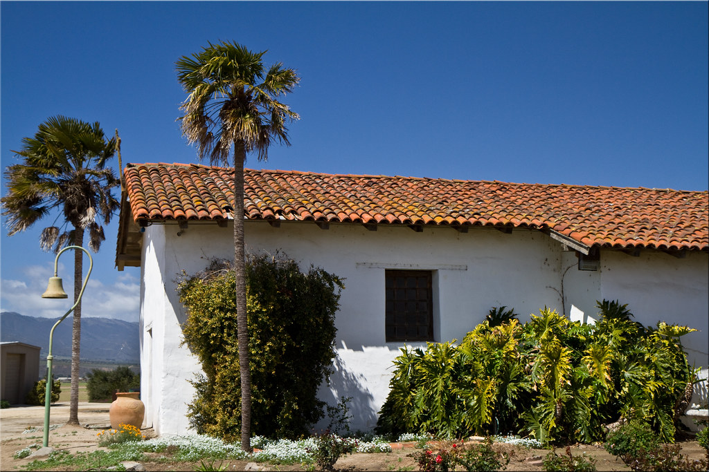
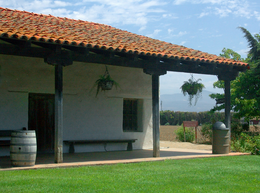
Mission Soledad
Mission de la Soledad - End View
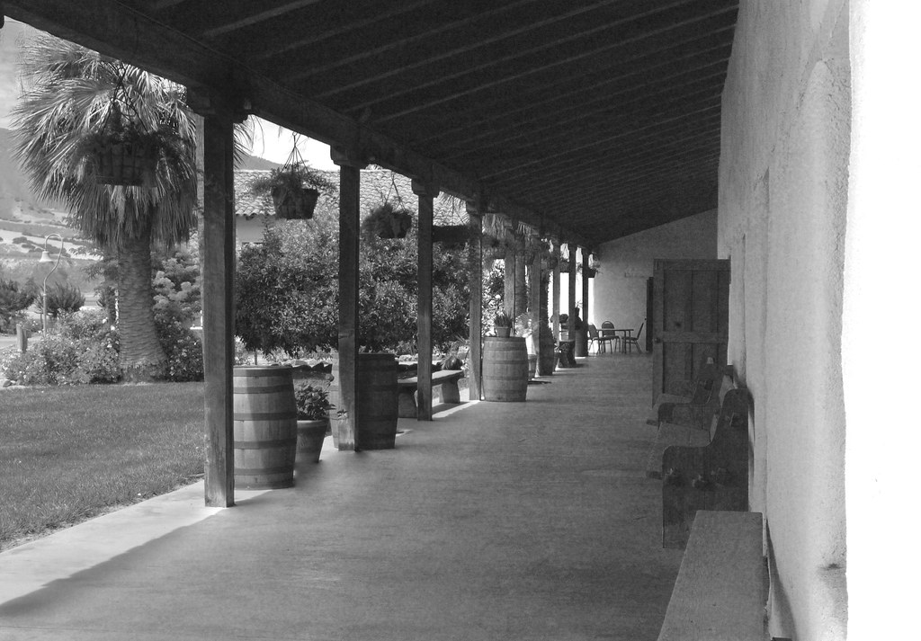
Mission de la Soledad - Arcade View
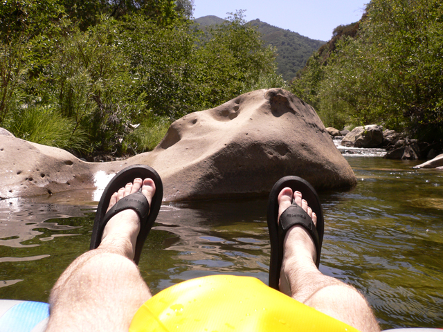
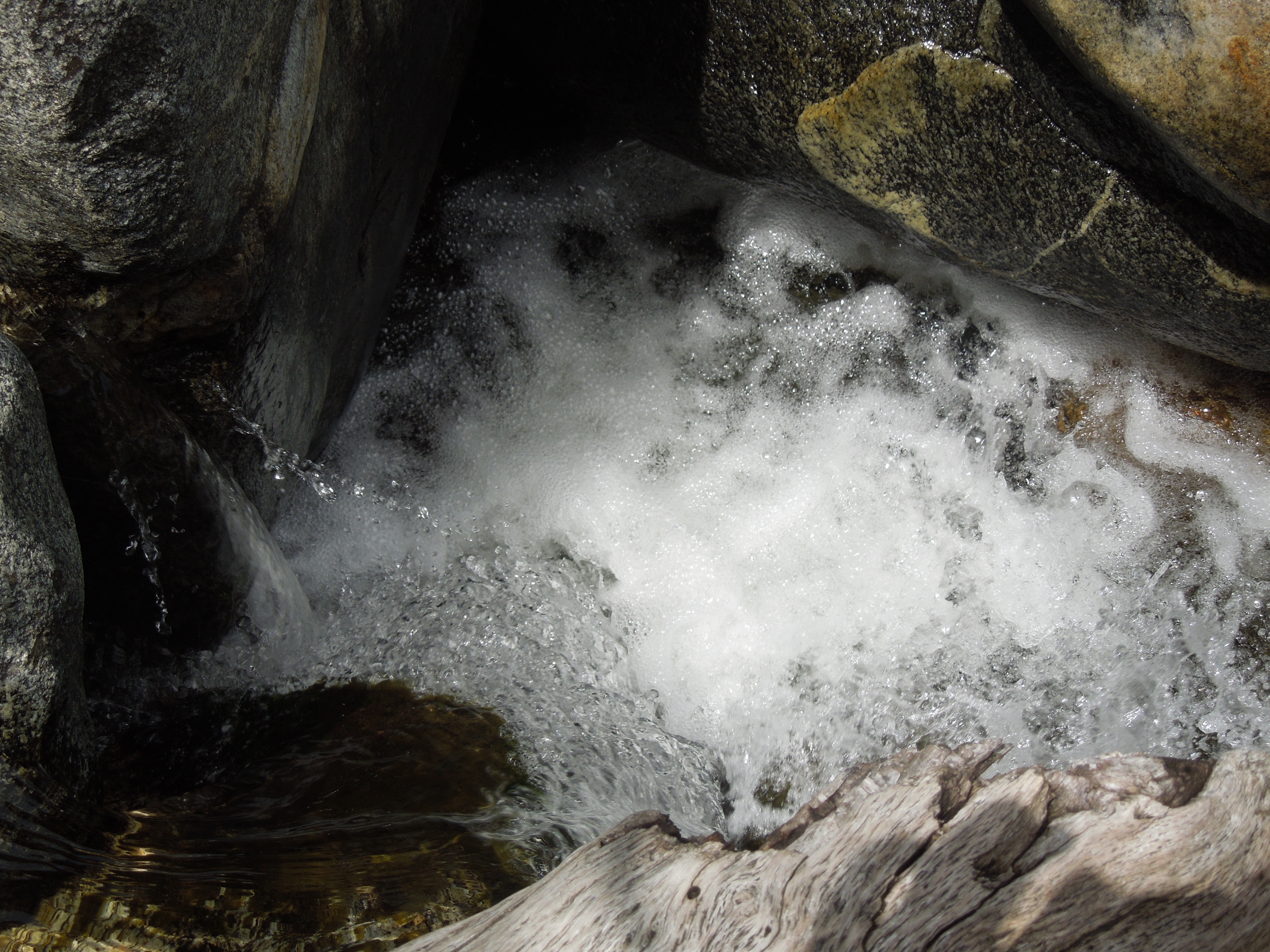
Tube's Eye View #2
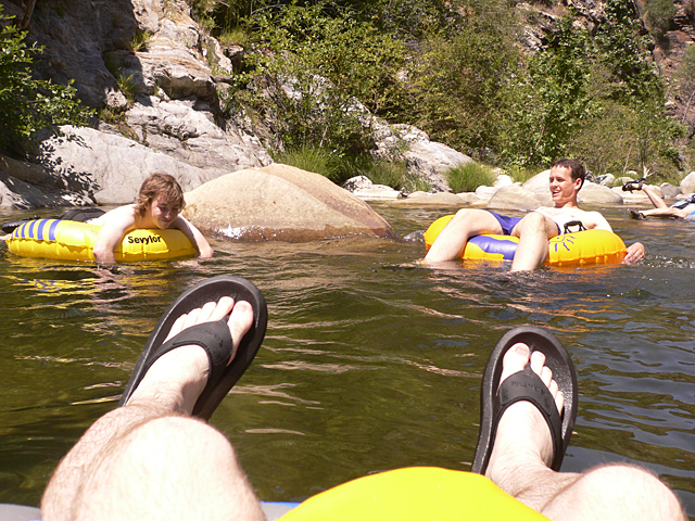
Tube's Eye View #1
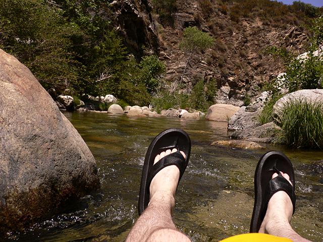
Tube's Eye View #3

Trip back home on the train. Highlights include slow rolling geographical and historical commentary from volunteer historians in the viewing car. Also girl with blue hair. #Amtrak #slowdown
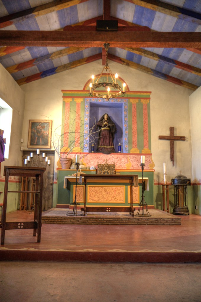
Mission Soledad

Nuestra Senora de la Soledad
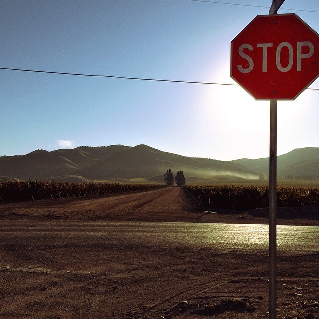
... And enjoy the view. I was driving on a back road in California when I took this pic. Awed by the beauty surrounding me, staring open-mouthed at the scenery, I came upon this sign. All I could do was say "Ok" and get out of the car to enjoy the view.

Twin Lake Sun set
HIP_331335512.372615

Vanishing Point Veggies
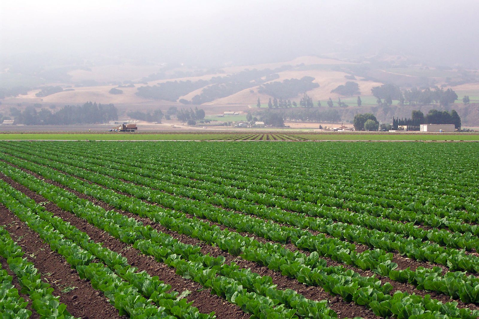
Lettuce Field

Lettuce Field

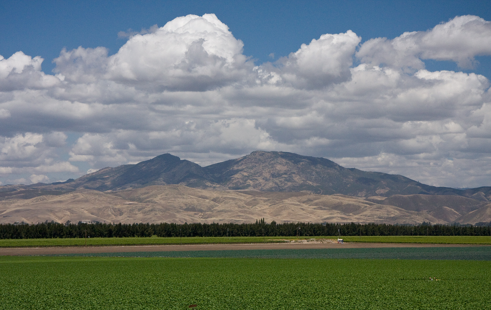
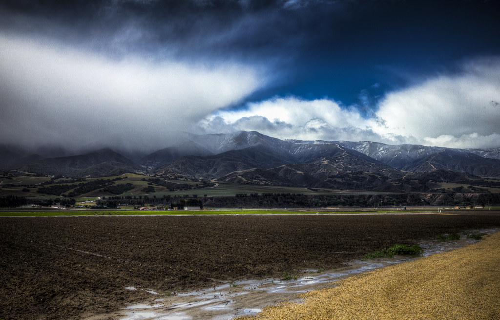
Barn - Salinas Valley

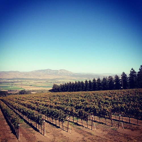
Winter Vineyard
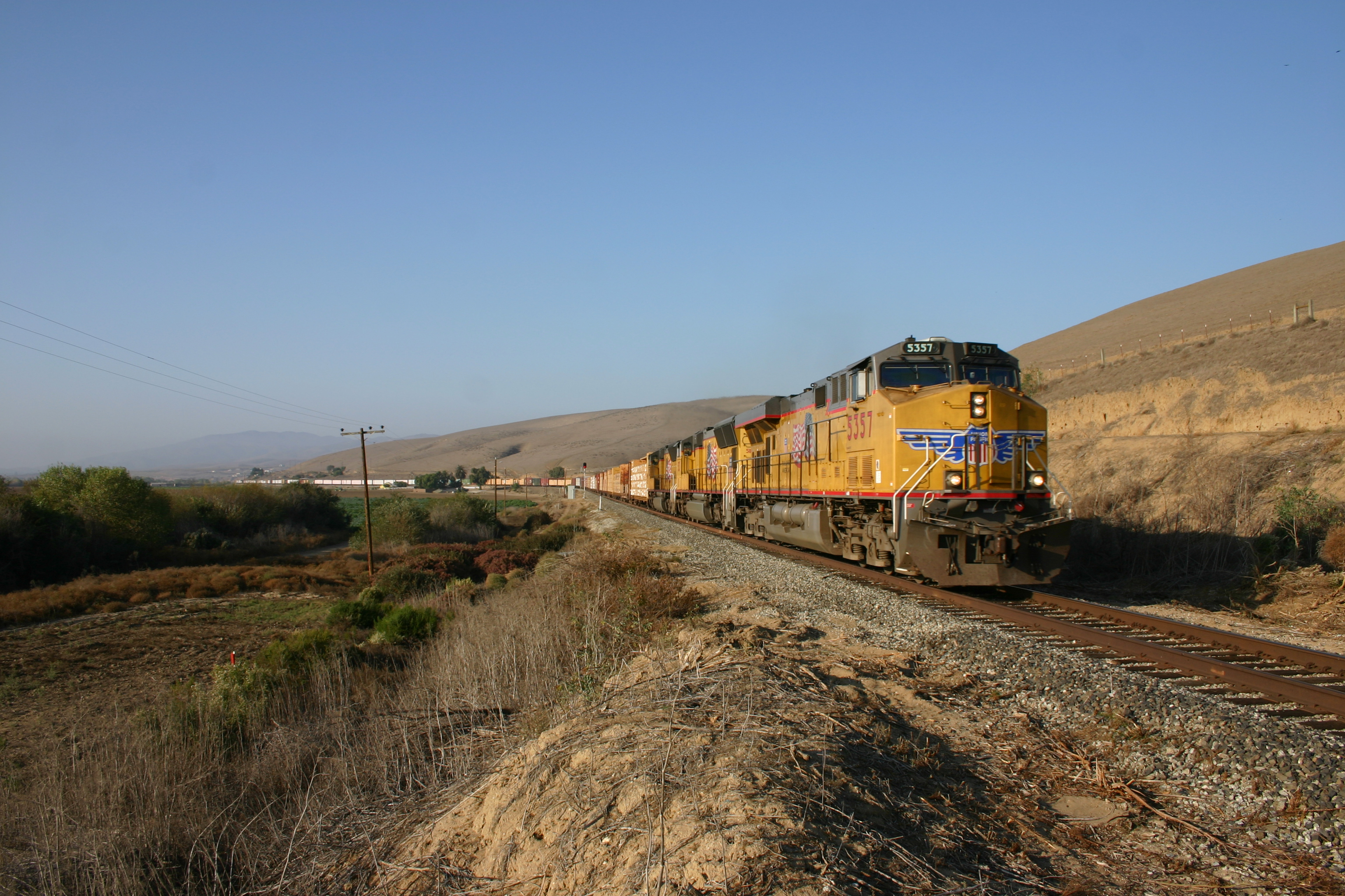
2007 Nov railfan trip to SLO (17)

Four mile beach sunset time...
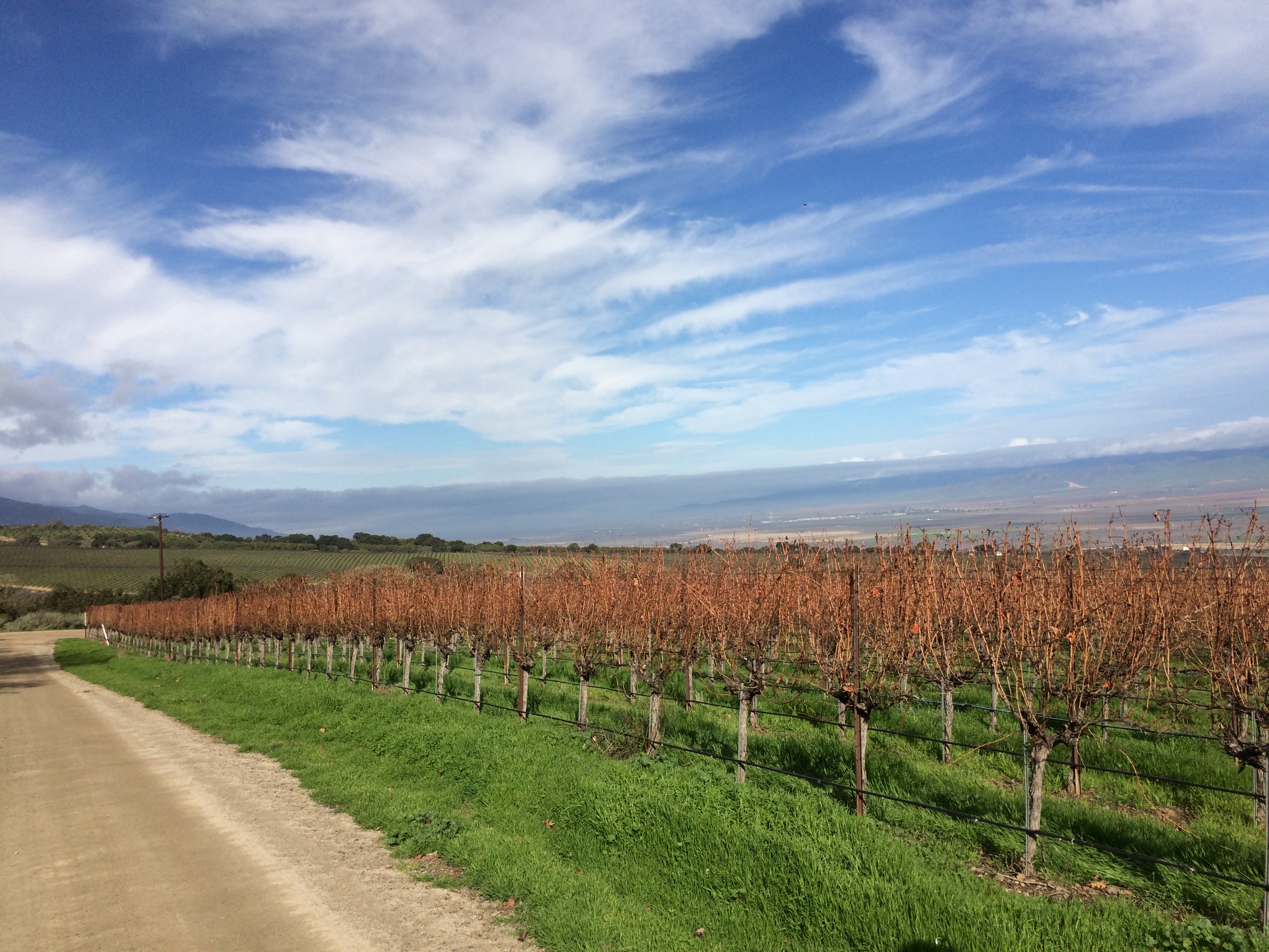
2016-01-29 Bianchi Bench Central Coast Vineyard

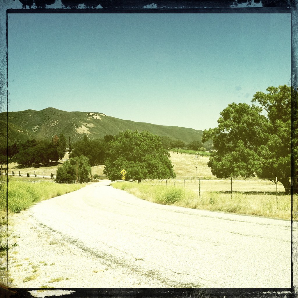
Near Arroyo Secco

Hahn Family Wines, Soledad 1416
W drodze do Big Sur
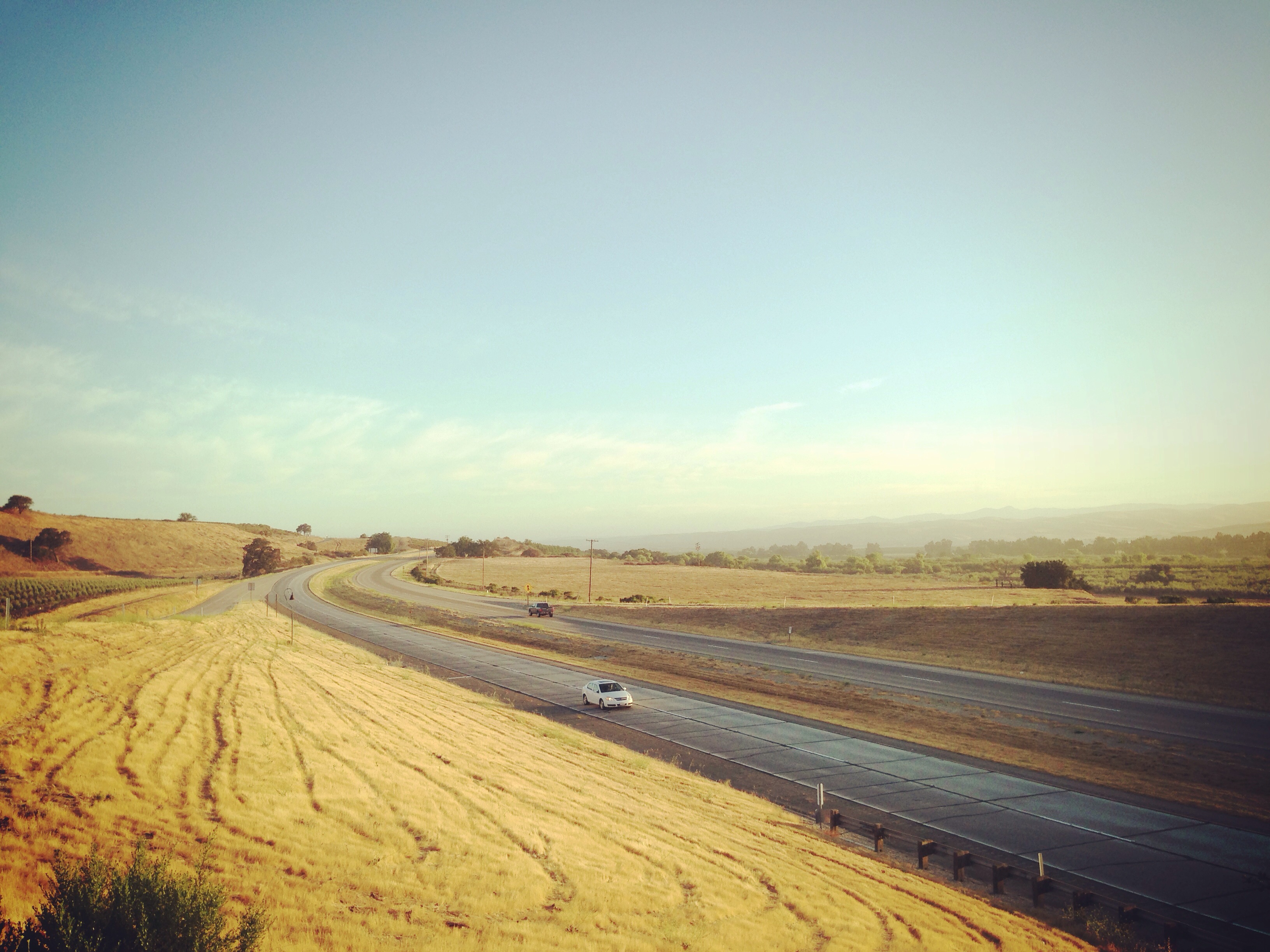
101 San Francisco > Los Angeles
Hahn Estates Winery
Vantana Wilderness (13)
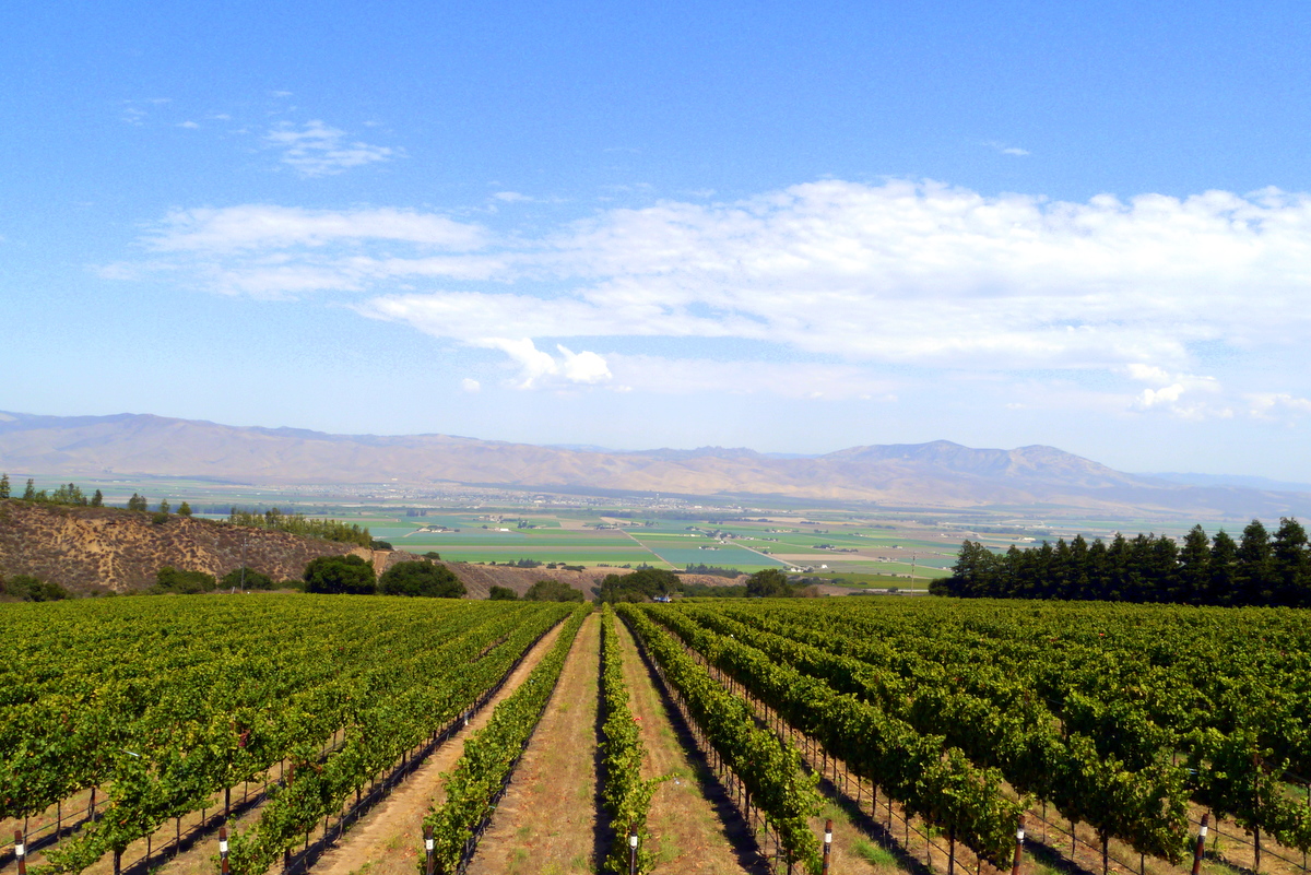
California Coastal Range From Soledad Mission (IMG_4671_2_3_tm_pnt-LR)
Just the wind rustling through the grenache

2007 Nov railfan trip to SLO (18)
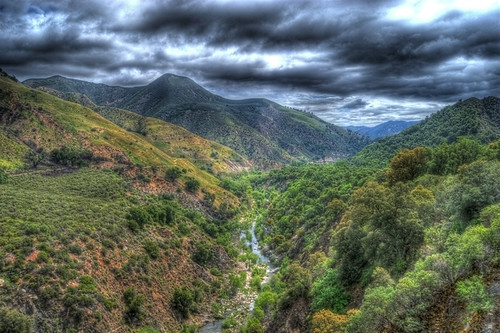
Arroyo Seco Road Gorge

Wrath Wines, Soledad 1419
Topographic Map of Monterey County, CA, USA
Find elevation by address:

Places in Monterey County, CA, USA:
Monterey
Salinas
Carmel-by-the-sea
Pacific Grove
Big Sur
Carmel Valley
Prunedale
Bradley
Soledad
King City
Seaside
Greenfield
Del Monte Forest
Sand City
Gonzales
East Garrison
San Ardo
Castroville
Lockwood
Pajaro
Main St, San Lucas, CA, USA
Jackson St, Chualar, CA, USA
Struve Rd, Moss Landing, CA, USA
Metz-Soledad Rd, Soledad, CA, USA
Salinas Rd, Royal Oaks, CA, USA
Turkey Flat Rd, San Miguel, CA, USA
Big Sur
Gorda
Lucia
Marina
Jolon
Chualar
Moss Landing
Spreckels
Elkhorn
Places near Monterey County, CA, USA:
Hahn Estate
37700 Foothill Rd
36825 Foothill Rd
Foothill Road
46005 Arroyo Seco Rd
Mile End Rd, Soledad, CA, USA
Arroyo Seco Rd, Greenfield, CA, USA
Greenfield
El Camino Real, Greenfield, CA, USA
Soledad
Front St, Soledad, CA, USA
Metz-Soledad Rd, Soledad, CA, USA
Silliman Rd, Soledad, CA, USA
Arroyo Seco Campground
US-, Soledad, CA, USA
Metz Rd, King City, CA, USA
Tassajara Rd, Carmel Valley, CA, USA
33 3rd St, Gonzales, CA, USA
Gonzales
Chaparral Trailhead Parking
Recent Searches:
- Elevation of Corso Fratelli Cairoli, 35, Macerata MC, Italy
- Elevation of Tallevast Rd, Sarasota, FL, USA
- Elevation of 4th St E, Sonoma, CA, USA
- Elevation of Black Hollow Rd, Pennsdale, PA, USA
- Elevation of Oakland Ave, Williamsport, PA, USA
- Elevation of Pedrógão Grande, Portugal
- Elevation of Klee Dr, Martinsburg, WV, USA
- Elevation of Via Roma, Pieranica CR, Italy
- Elevation of Tavkvetili Mountain, Georgia
- Elevation of Hartfords Bluff Cir, Mt Pleasant, SC, USA