Elevation of Arroyo Seco Rd, Greenfield, CA, USA
Location: United States > California > Monterey County > Greenfield >
Longitude: -121.42973
Latitude: 36.2523062
Elevation: 189m / 620feet
Barometric Pressure: 99KPa
Elevation Map:
Satellite Map:
Related Photos:

a'peeling by nature

one moment

Tassajara Rd, Monterey Co, CA

when the workday is done

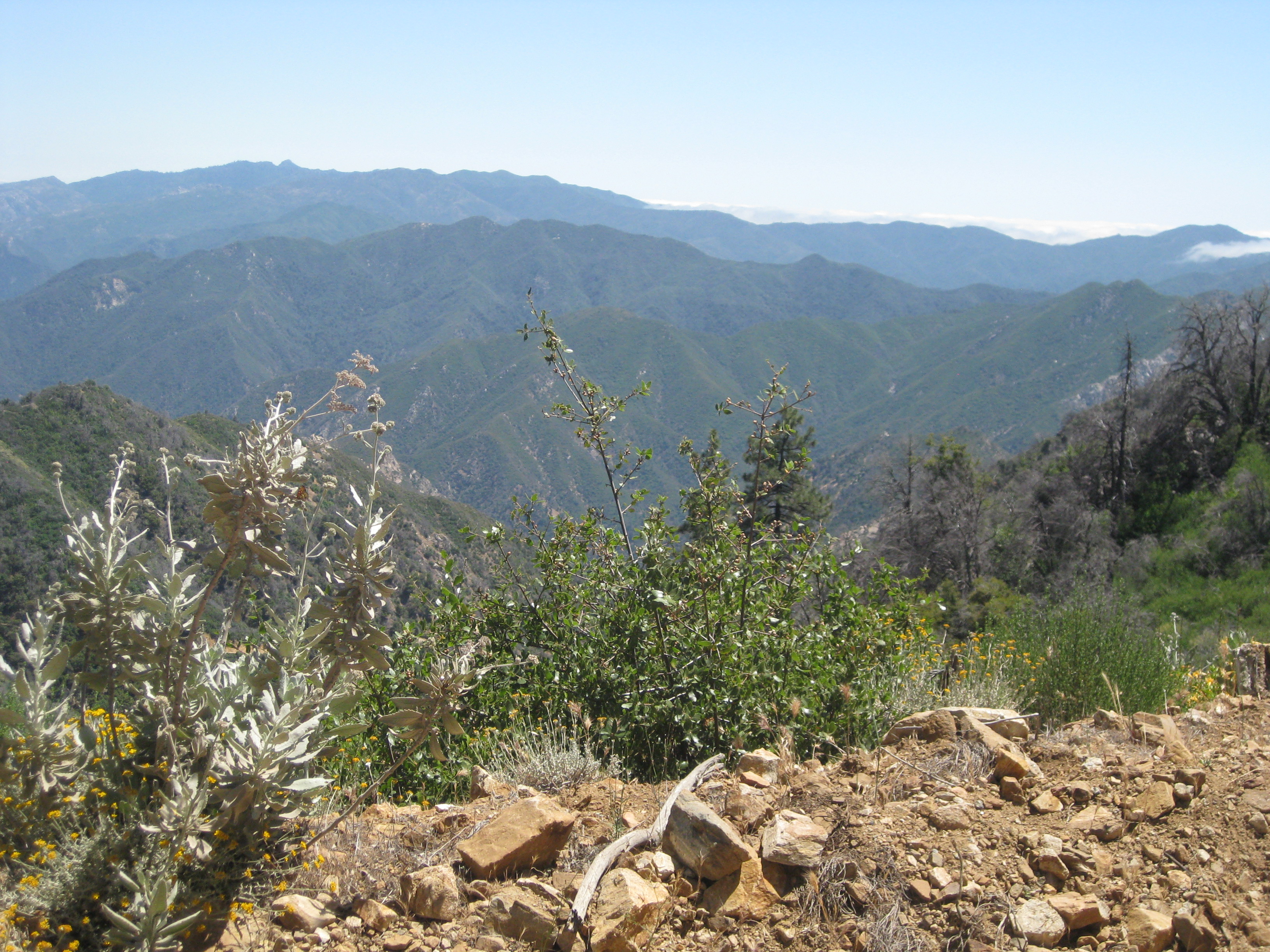
Views (not of dead rats)
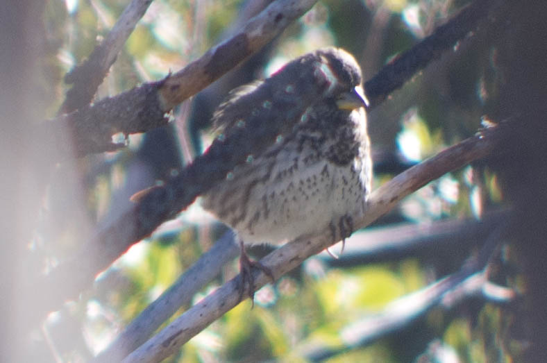
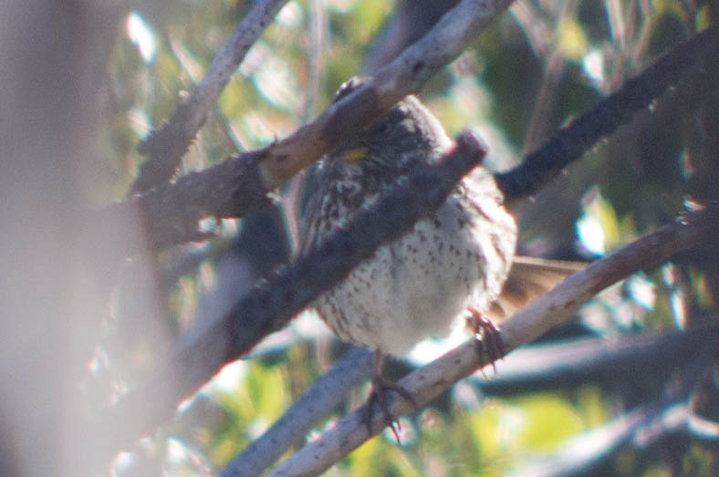
Fox Sparrow (Slate-colored)

What's black & white and "red" all over?
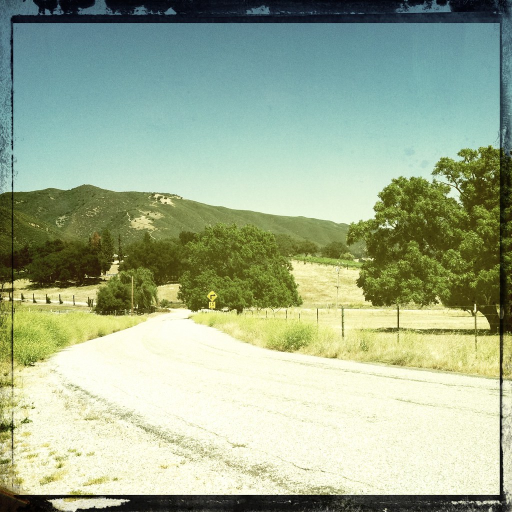
Road to Tassajara
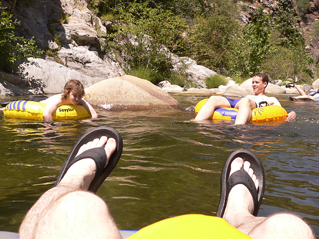
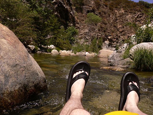
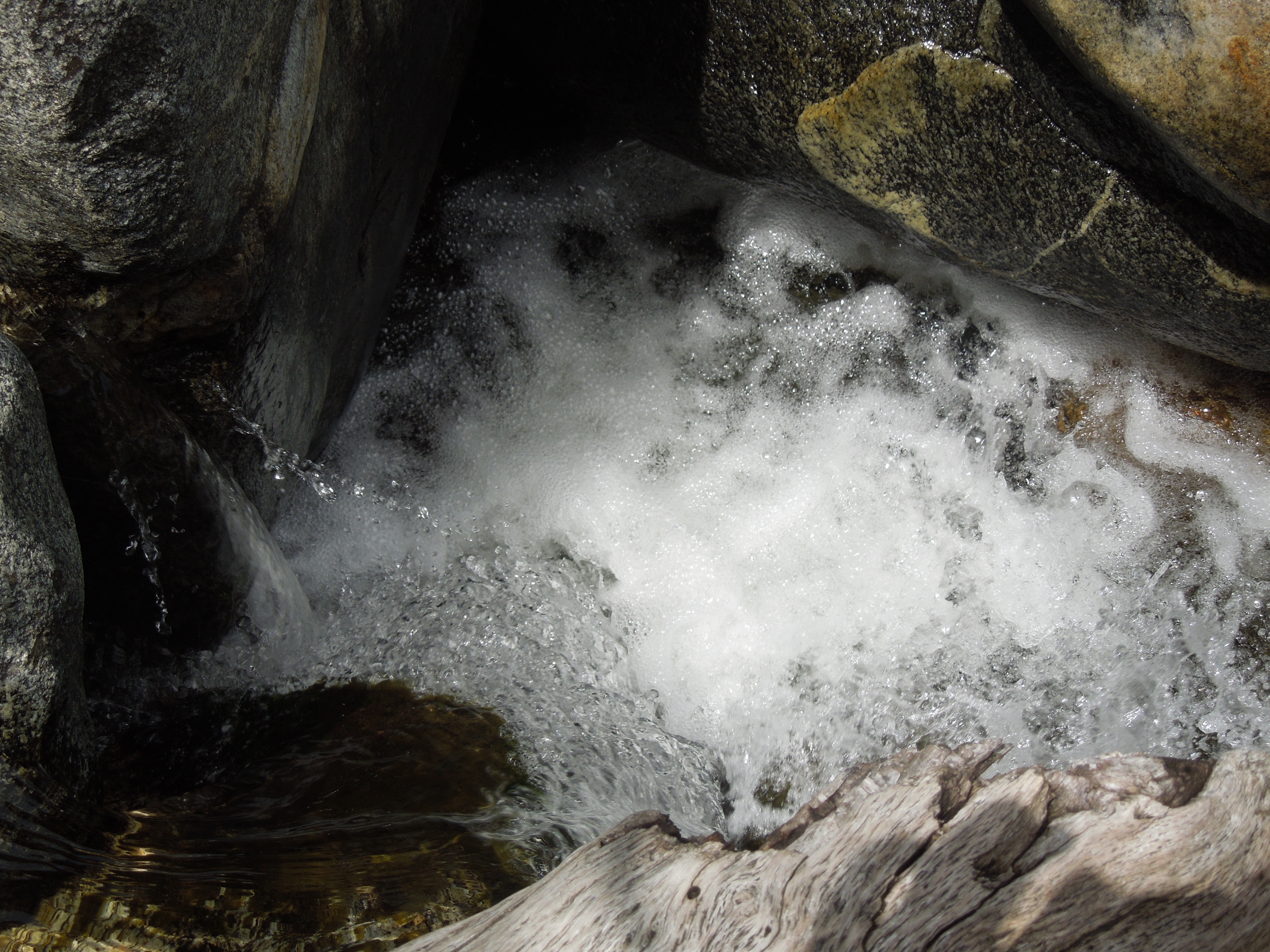
Tube's Eye View #1
more views of the lupine fields
Tube's Eye View #3
Fox Sparrow (Slate-colored)

behind every great woman...

Fox Sparrow (Sooty)

"les deux vieux amis"
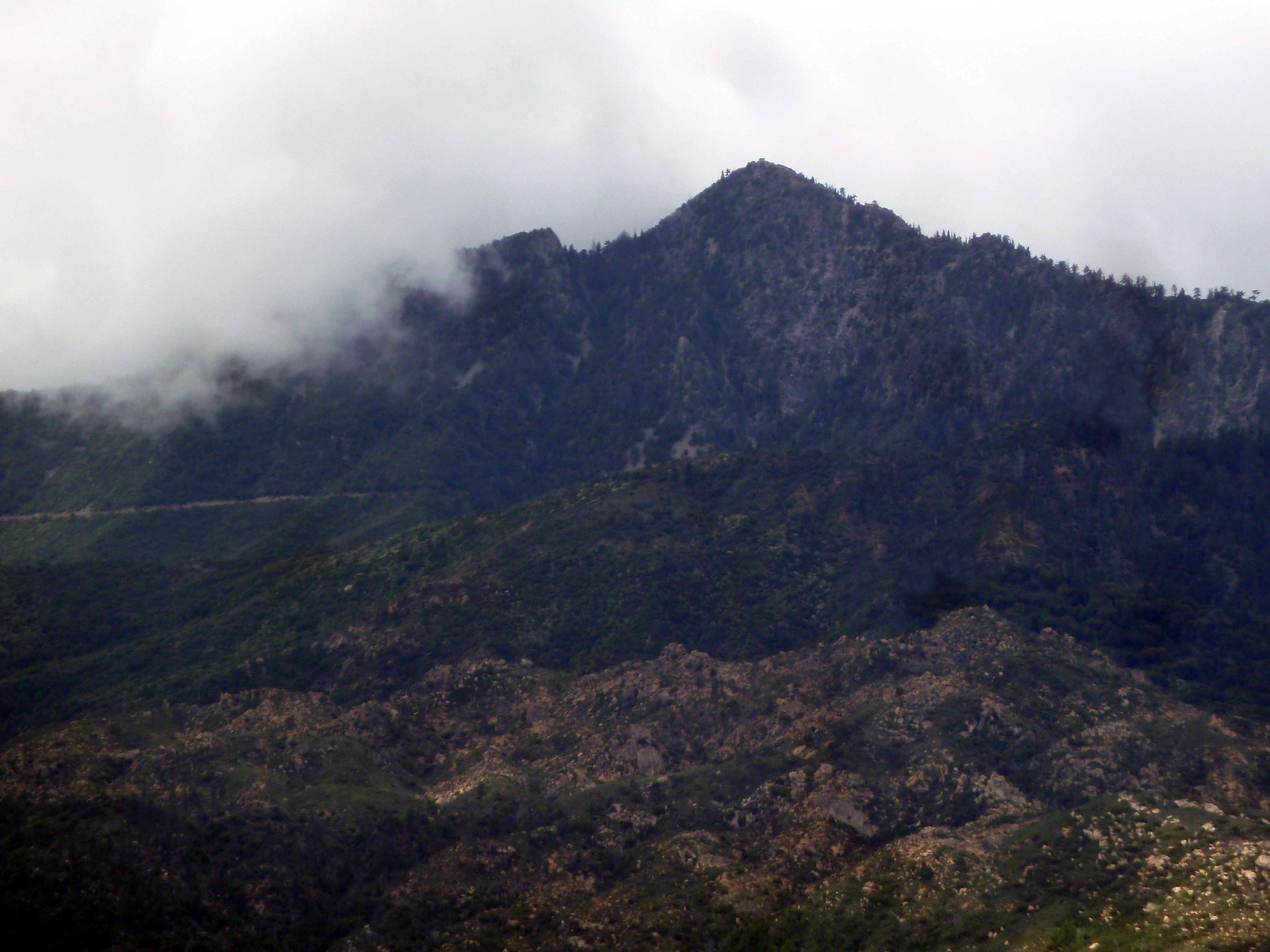
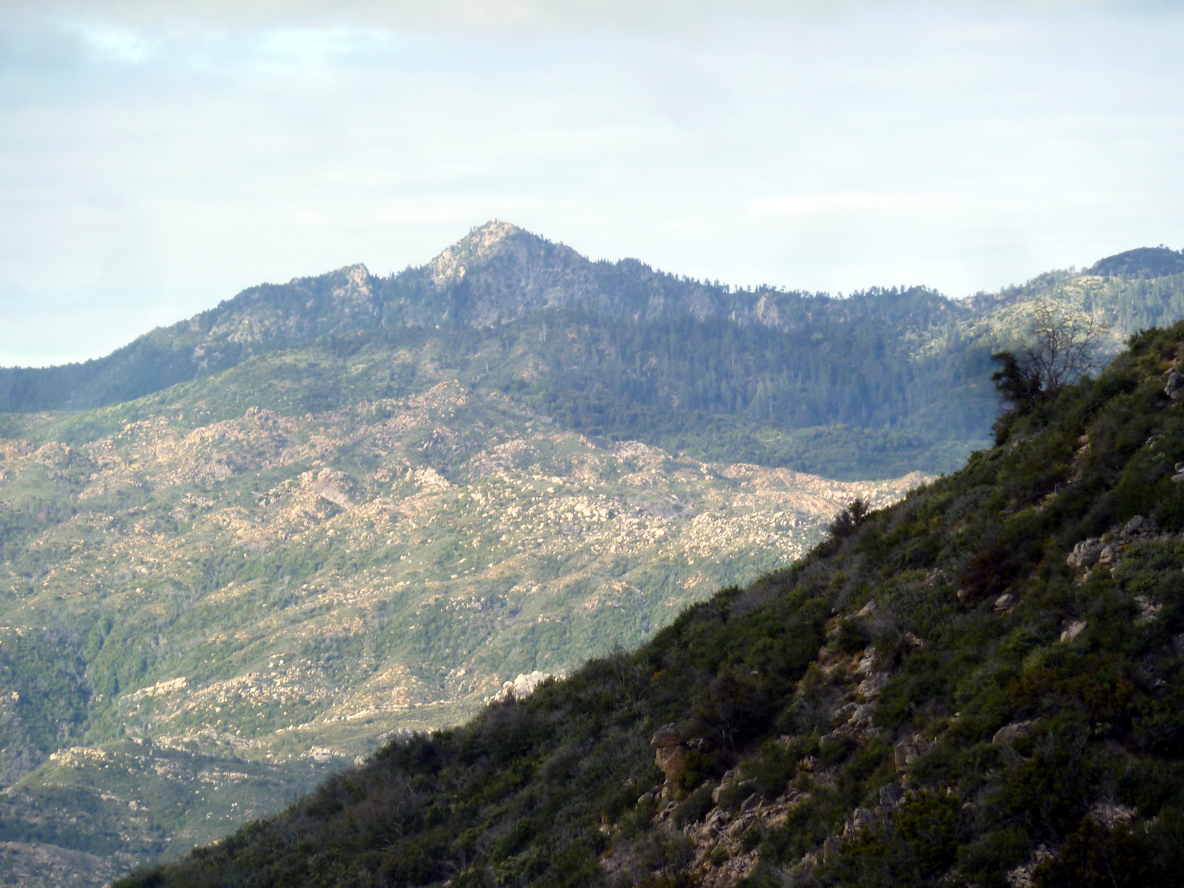
Mt Junipero Serra - Cone Peak view

Mt Junipero Serra - Summit View toward Cone Peak
Mt Junipero Serra - View from Ravine (2)

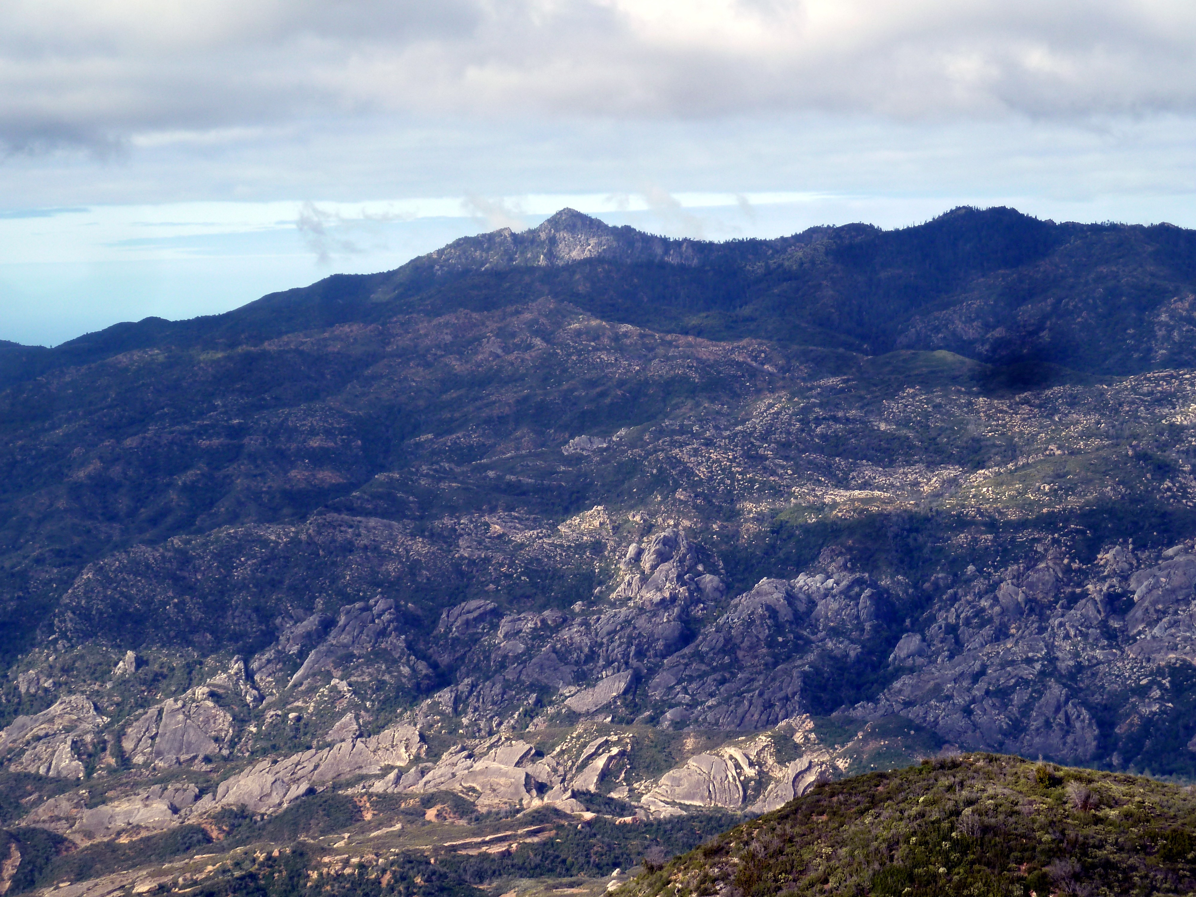
Mt Junipero Serra - View of Cone Peak (1)
Mt Junipero Serra - View of Cone Peak (2)
Mt Junipero Serra - View of Cone Peak (3)
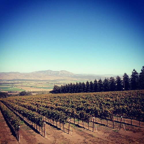
Hahn Family Wines, Soledad 1417

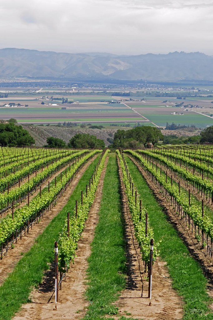
Winter Vineyard

Hahn Family Wines, Soledad 1416

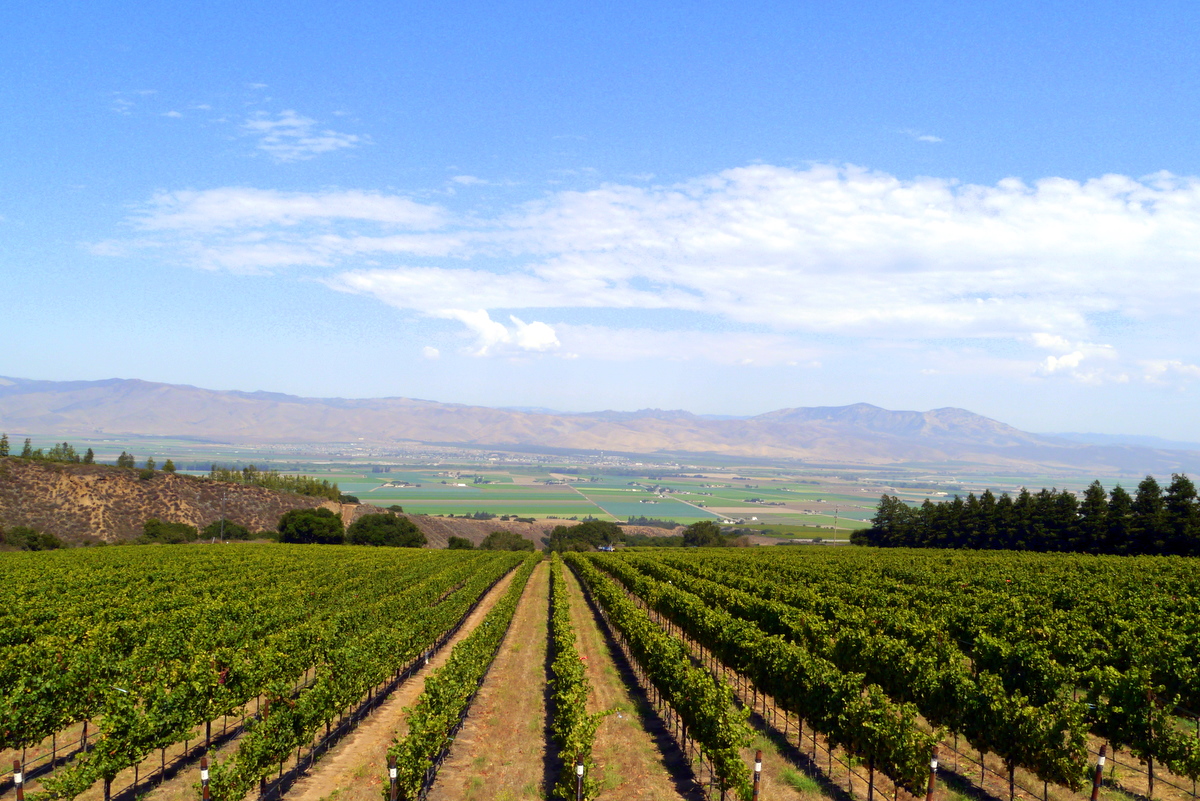
Near Arroyo Secco
Willow Creek
Hahn Estates Winery
HIP_331335512.372615
Just the wind rustling through the grenache
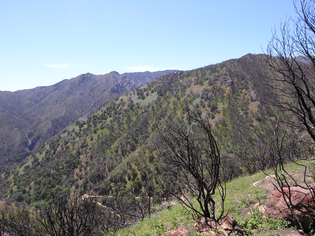
Vantana Wilderness (13)
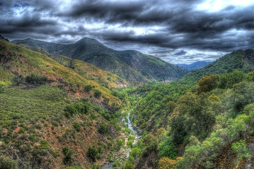
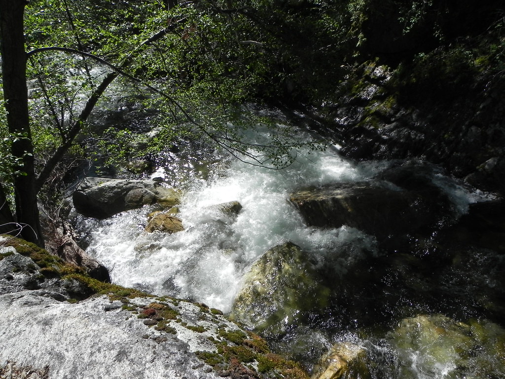
Arroyo Seco Road Gorge

Scene from Carmel Valley. Somewhere between Carmel Valley Village and Soledad on the G16.
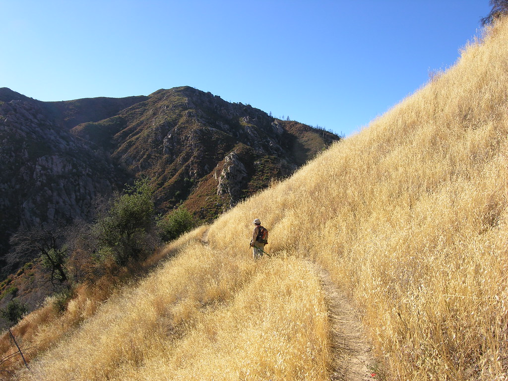
golden hillside

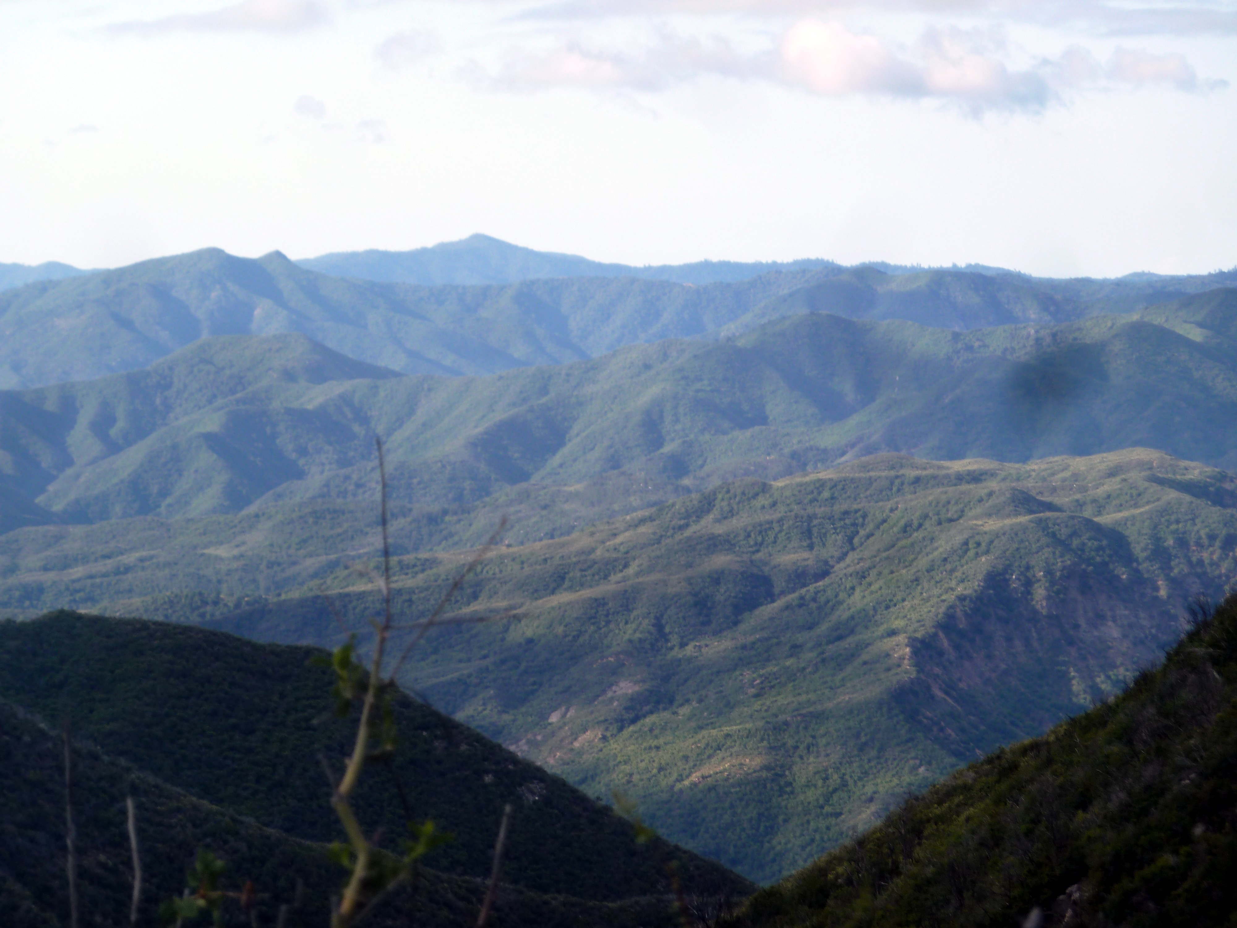
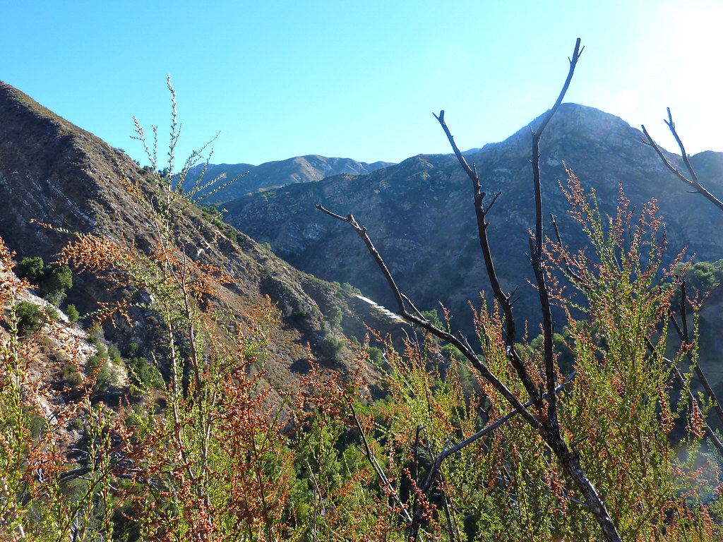
Looking toward Northern Los Padres National Forest
ArroyoSeco-20

Carmel Valley Road

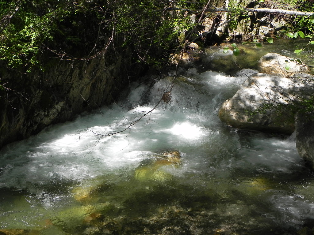
Arroyo Seco
tassajara hike
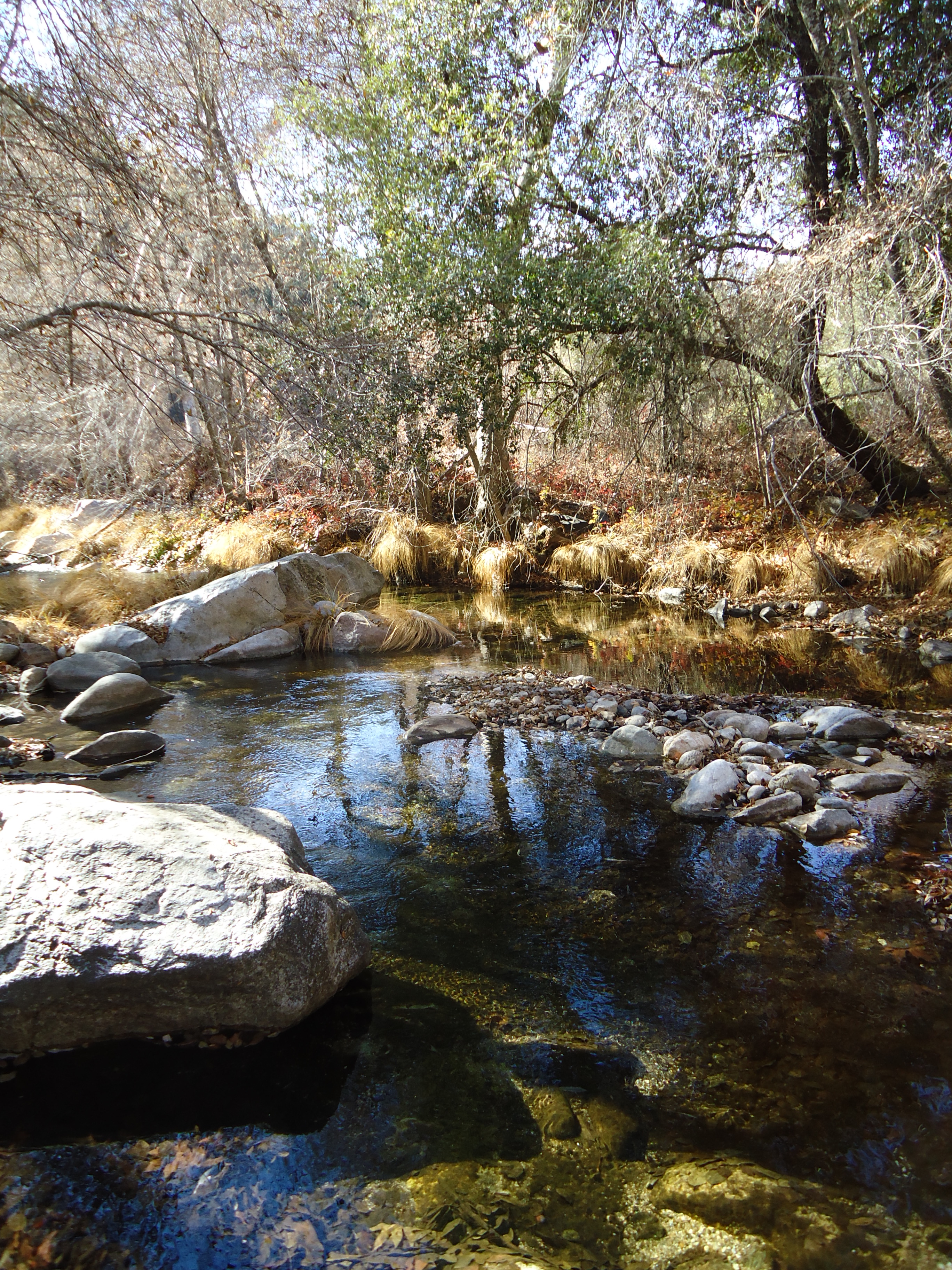
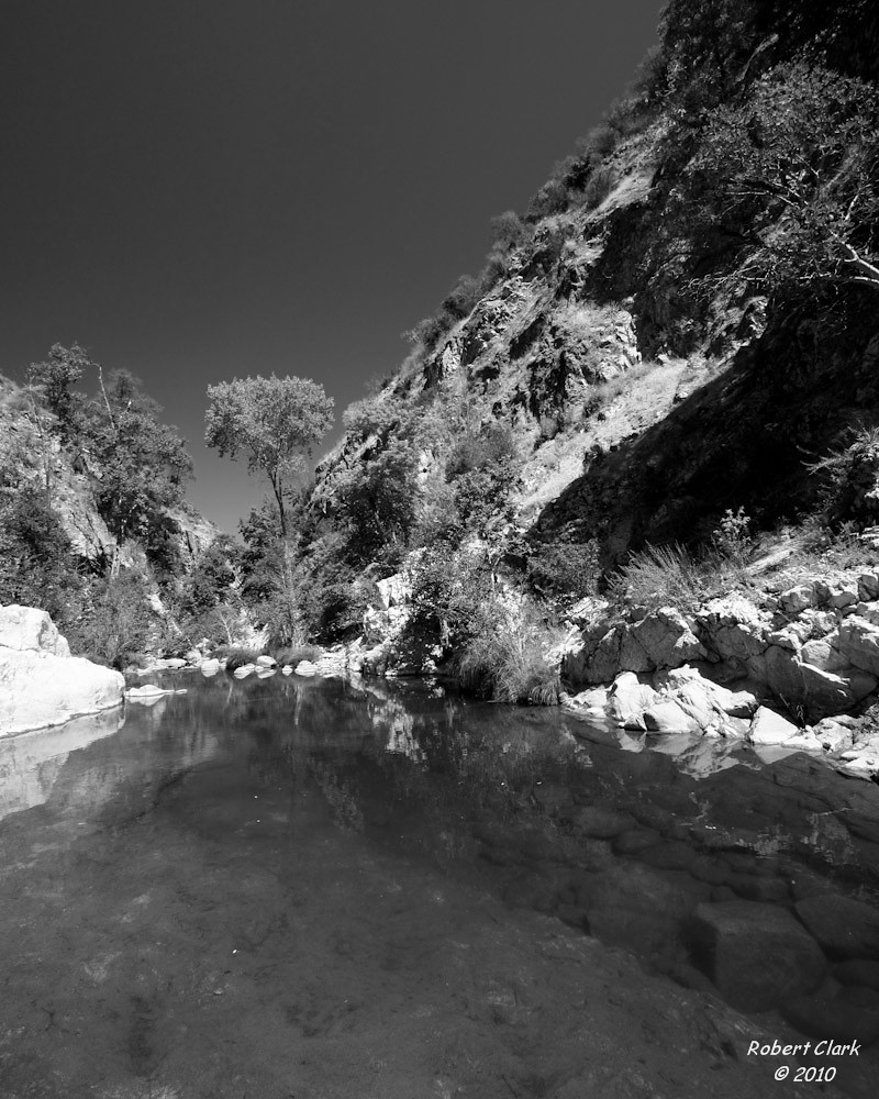
Tassajara creek
Tassajara creek
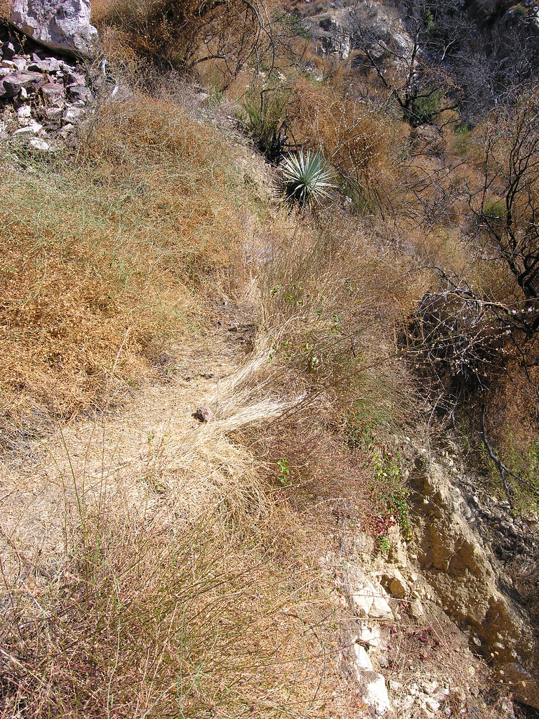
undercut trail section
Topographic Map of Arroyo Seco Rd, Greenfield, CA, USA
Find elevation by address:

Places near Arroyo Seco Rd, Greenfield, CA, USA:
46005 Arroyo Seco Rd
Arroyo Seco Campground
Monterey County
Tassajara Rd, Carmel Valley, CA, USA
Hahn Estate
37700 Foothill Rd
36825 Foothill Rd
Foothill Road
Pfeiffer Big Sur State Park
Mile End Rd, Soledad, CA, USA
Greenfield
El Camino Real, Greenfield, CA, USA
Tassajara Rd, Carmel Valley, CA, USA
Soledad
Front St, Soledad, CA, USA
Silliman Rd, Soledad, CA, USA
US-, Soledad, CA, USA
Metz-Soledad Rd, Soledad, CA, USA
Esalen Institute
33 3rd St, Gonzales, CA, USA
Recent Searches:
- Elevation of Corso Fratelli Cairoli, 35, Macerata MC, Italy
- Elevation of Tallevast Rd, Sarasota, FL, USA
- Elevation of 4th St E, Sonoma, CA, USA
- Elevation of Black Hollow Rd, Pennsdale, PA, USA
- Elevation of Oakland Ave, Williamsport, PA, USA
- Elevation of Pedrógão Grande, Portugal
- Elevation of Klee Dr, Martinsburg, WV, USA
- Elevation of Via Roma, Pieranica CR, Italy
- Elevation of Tavkvetili Mountain, Georgia
- Elevation of Hartfords Bluff Cir, Mt Pleasant, SC, USA