Elevation of Lockwood, CA, USA
Location: United States > California > Monterey County >
Longitude: -121.08208
Latitude: 35.9440546
Elevation: 298m / 978feet
Barometric Pressure: 98KPa
Elevation Map:
Satellite Map:
Related Photos:
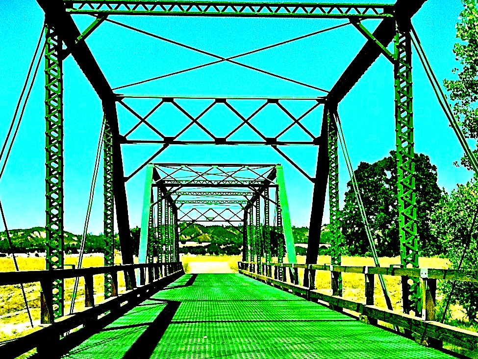
green bridge

Clouds over FHL
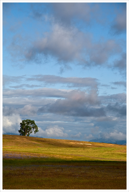
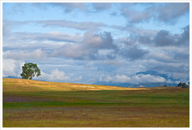
Lone Tree in the Patchy Light
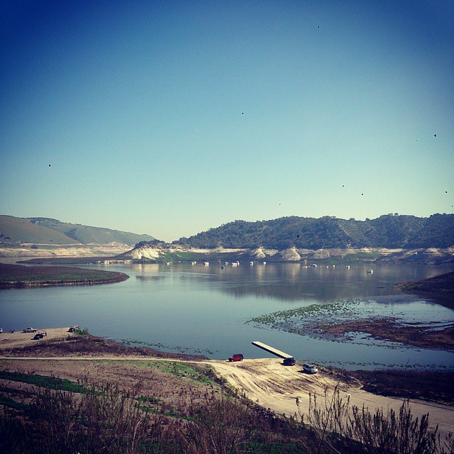
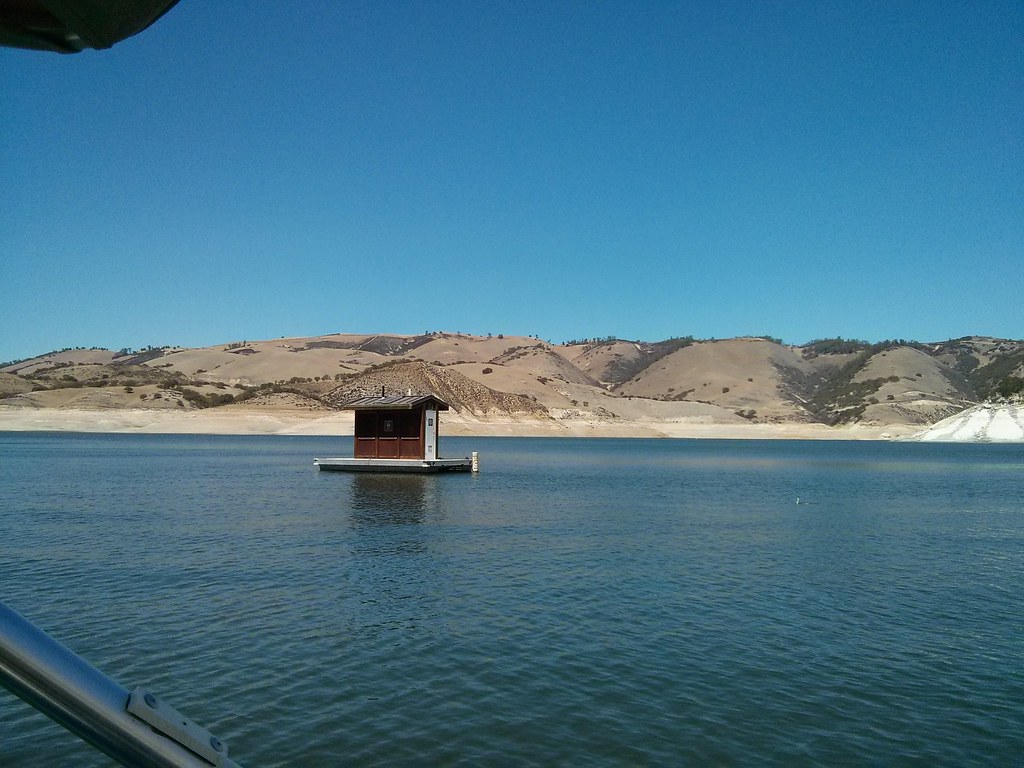
Standing on San Antonio Lake south beach. Starting to understand what draught means.
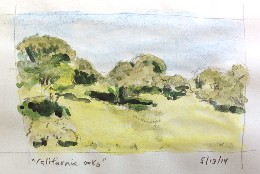
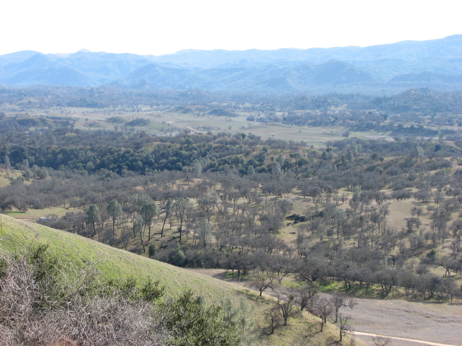
California Oaks

Mt Shasta
So, last year at this time, there was 96% more water in this lake. I told my buddy, "I knew we are in a drought. But now, I'm scared."
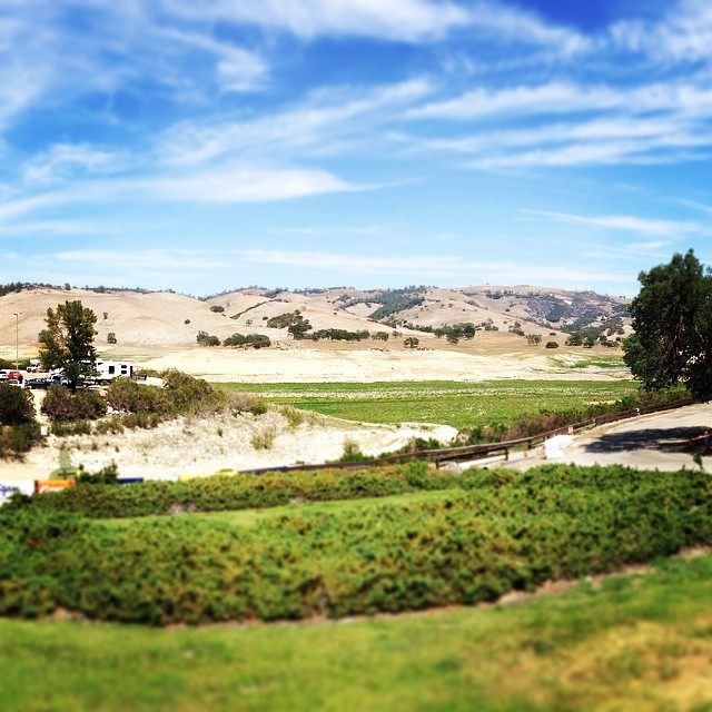
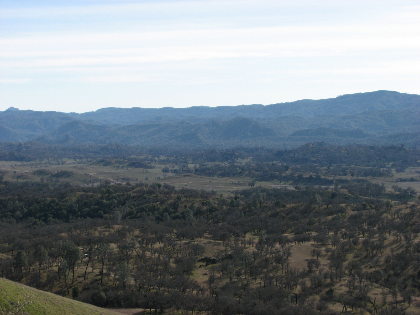
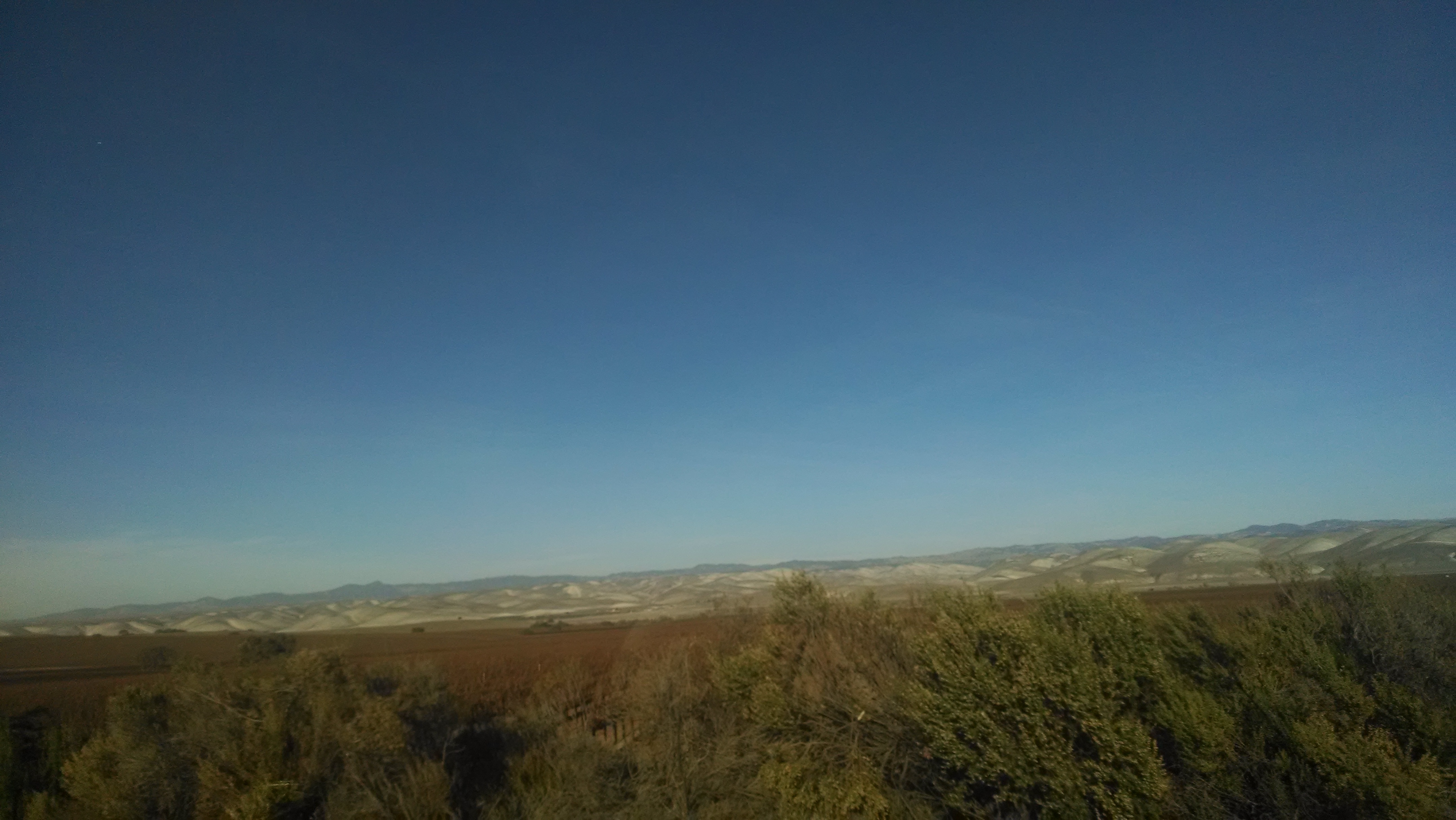
Field & Tree & Mountain & Clouds

Lake San Antonio CA
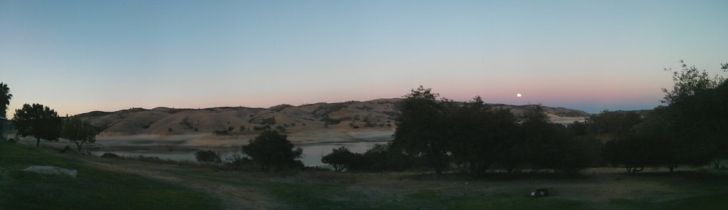
Full moon panorama
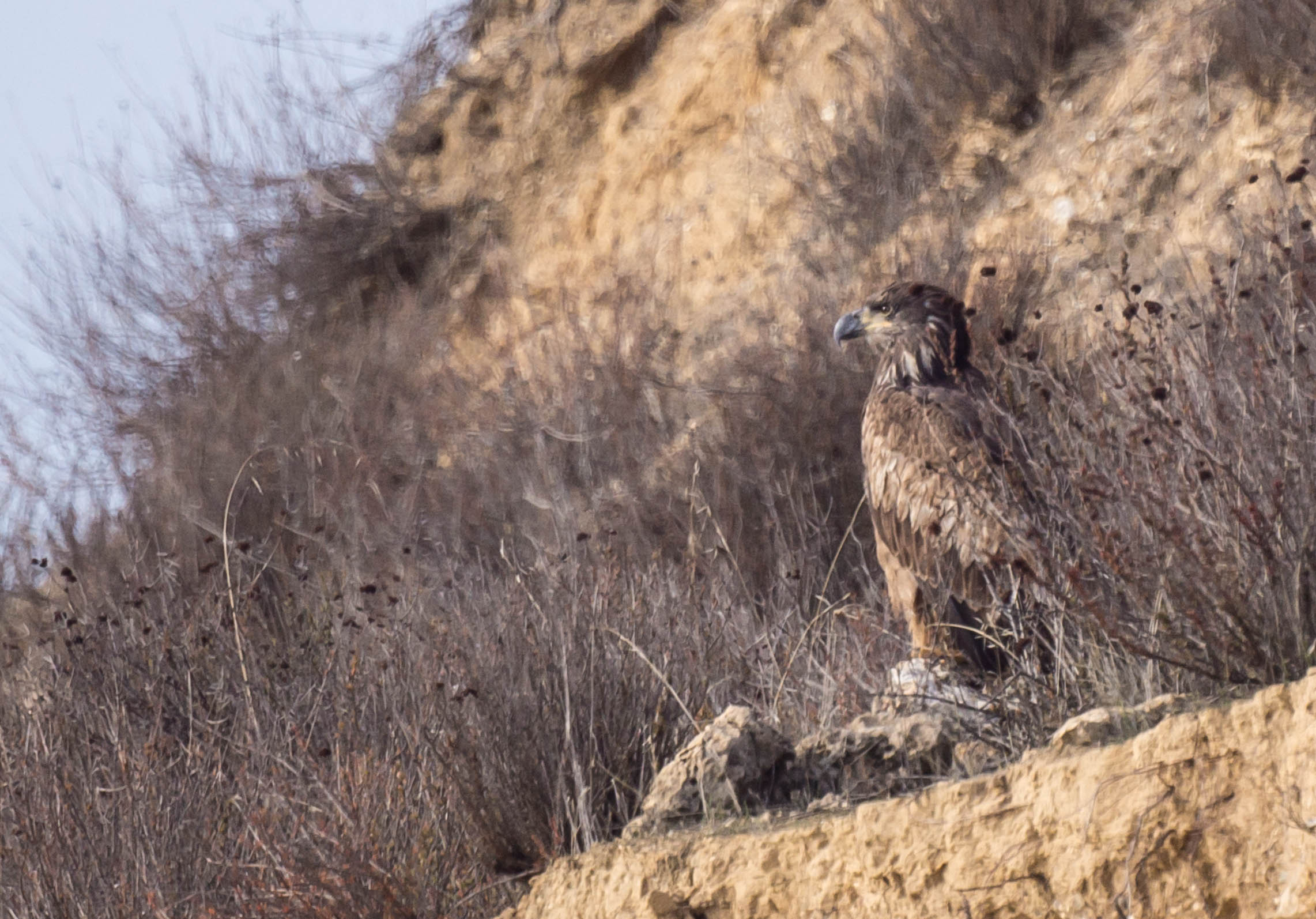
Bald Eagle, Immature

Bald Eagle, Immature
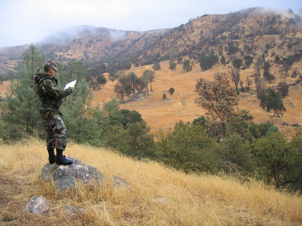
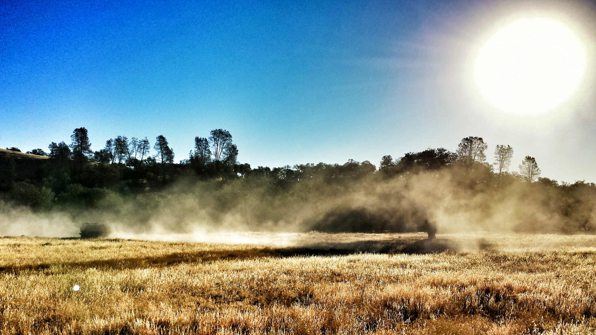
Hunting at Fort Hunter Liggett
Hunting at Fort Hunter Liggett
Nov 2003 FHL 0002
FHL 6
early morning ride

P1260765.RW2.darktable
2013-12-02 15.04.05
Floating toilet
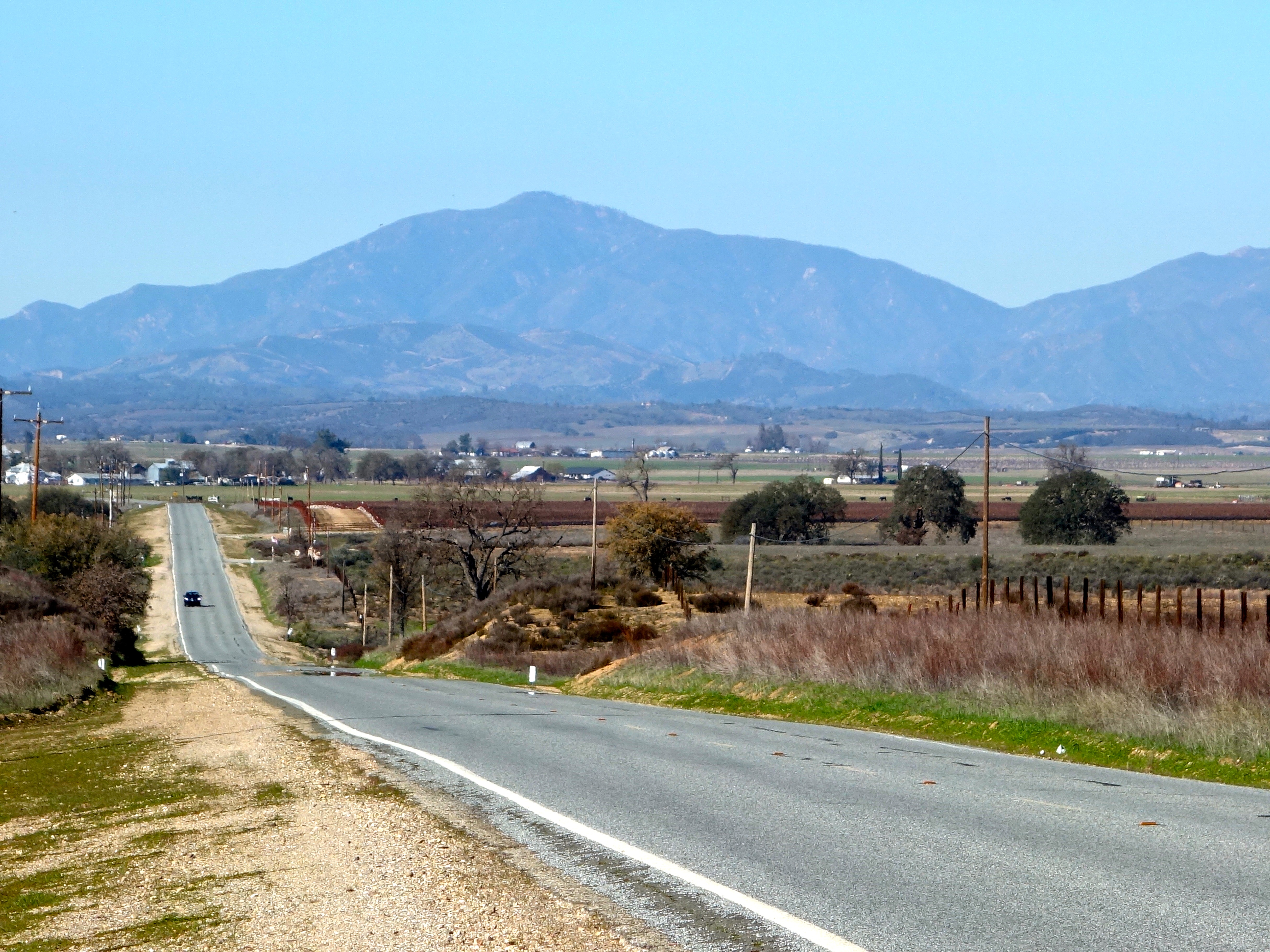
Road to the Mission - Junipero Serra Peak (5800')
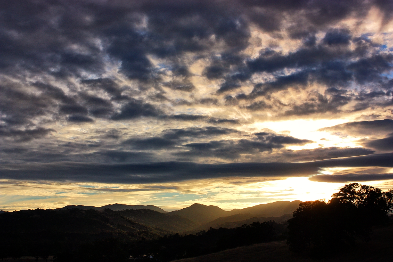
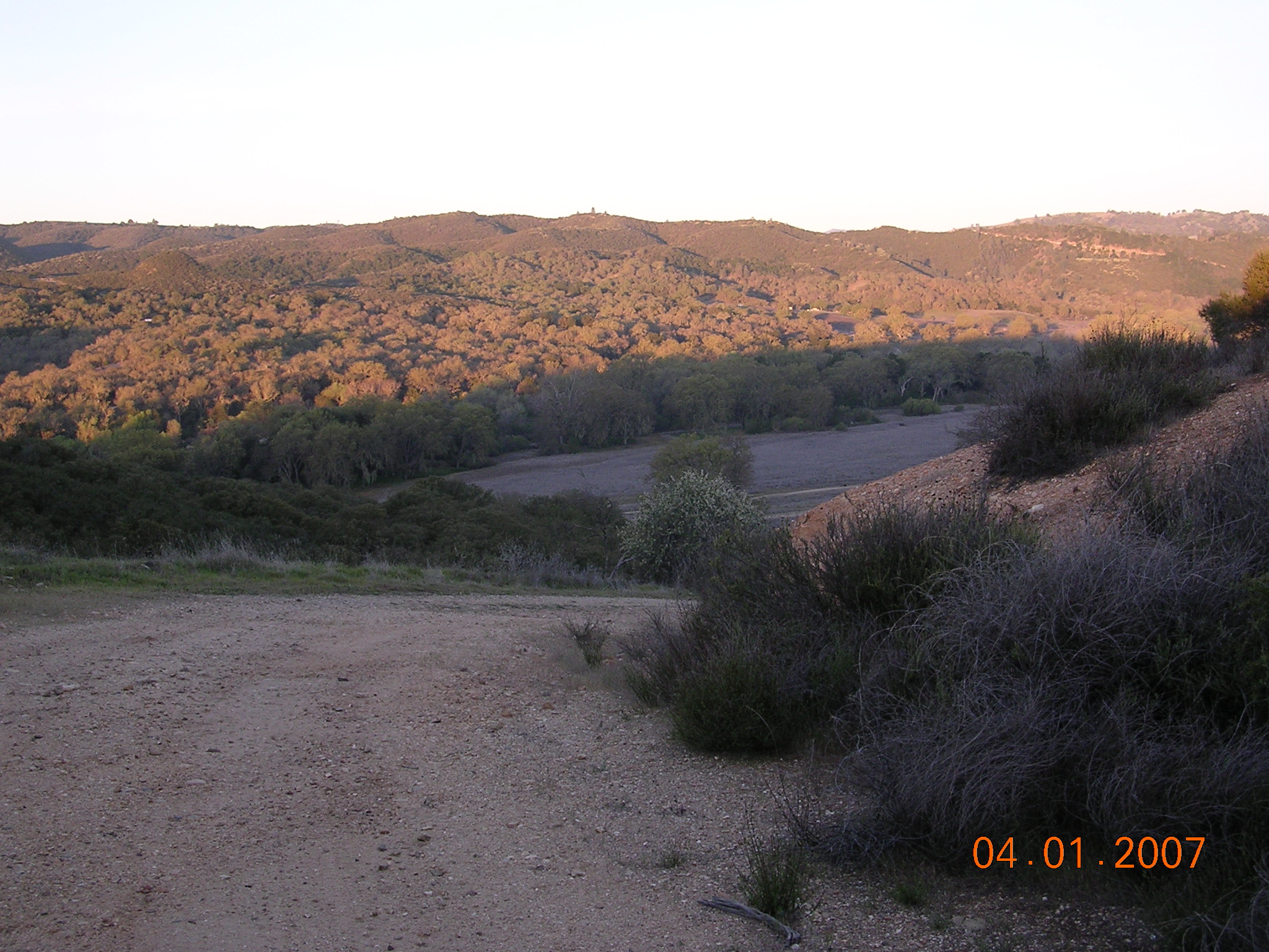
SunsetFHL-2
Topographic Map of Lockwood, CA, USA
Find elevation by address:

Places in Lockwood, CA, USA:
Places near Lockwood, CA, USA:
Jolon Rd, Lockwood, CA, USA
67901 Jolon Rd
Williams Hill Recreation Area
Jolon
48442 Sapaque Rd
76699 Hesperia Rd
Bryson Hesperia Rd, Bradley, CA, USA
Fort Hunter Liggett Visitor Control Center
Fort Hunter Liggett Exchange
Main St, San Lucas, CA, USA
2430 Stern Deck Rd
Pine Canyon Rd, King City, CA, USA
242 Rio Vista Dr
King City
Hearst Castle
Hearst Castle Road
Spreckels Road
Ragged Point
Salmon Creek Trailhead
San Simeon
Recent Searches:
- Elevation of Corso Fratelli Cairoli, 35, Macerata MC, Italy
- Elevation of Tallevast Rd, Sarasota, FL, USA
- Elevation of 4th St E, Sonoma, CA, USA
- Elevation of Black Hollow Rd, Pennsdale, PA, USA
- Elevation of Oakland Ave, Williamsport, PA, USA
- Elevation of Pedrógão Grande, Portugal
- Elevation of Klee Dr, Martinsburg, WV, USA
- Elevation of Via Roma, Pieranica CR, Italy
- Elevation of Tavkvetili Mountain, Georgia
- Elevation of Hartfords Bluff Cir, Mt Pleasant, SC, USA