Elevation of Spreckels Road, Spreckels Rd, King City, CA, USA

Location: United States > California > Monterey County > King City >

Longitude: -121.14015

Latitude: 36.2289242

Elevation: -10000m / -32808feet

Barometric Pressure: 295KPa

Elevation Map:

elevation map of Spreckels Road, Spreckels Rd, King City, CA, USA

Satellite Map:

Satellite map of Spreckels Road, Spreckels Rd, King City, CA, USA

Related Photos:

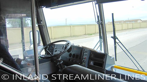
road trip travel usa greyhound white bus blanco lines rural america canon point landscape drive see countryside coach highway scenery shoot busse view ride diesel earth d steel transport group platform ps turbo american commercial transportation otr integral planet vehicle interstate passenger heavy weiss autobus bianco blanc intercooler intercity turbocharged turbocharger rebuilt motorcoach mci autocar transcontinental cdl ixy 车 автобус longhaul intercooled canonixy buspictures motorcoachindustries d4500 3axle 8wheeler 102dl3 aftercooler overtheroadbus otrb 大车 aftercooled cdlb
Greyhound Americanos 60556 King City (MCI 102DL3)
cameraphone
View from my classroom door on a sunny February afternoon
Life in the Rear View
square squareformat iphoneography instagramapp uploaded:by=instagram foursquare:venue=4bec514c976ac928c1d5600b
... And enjoy the view. I was driving on a back road in California when I took this pic. Awed by the beauty surrounding me, staring open-mouthed at the scenery, I came upon this sign. All I could do was say "Ok" and get out of the car to enjoy the view.
square squareformat iphoneography instagramapp uploaded:by=instagram
#roadtrip #sunset in the rear view. #nextstop Paso Robles.
california unitedstatesofamerica sanandreasfault geology
View from PIT1
King City
california ranch clouds landscape montereycounty d600 lospadresnationalforest rollinghils
Grazing in the Clouds
Monterey County
iphonecam
Current status:
california camping panorama water unitedstates kingcity centralcalifornia californiacoast usfs lospadresnationalforest prewittridge
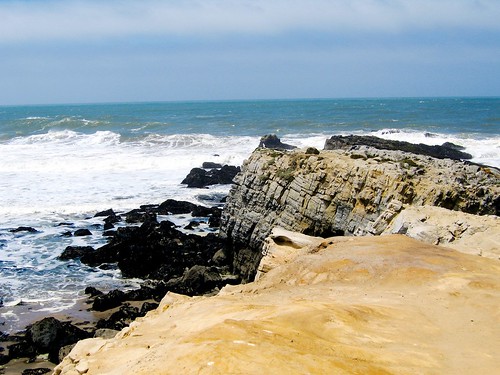
Pacific Ocean panorama from Prewitt Ridge, Los Padres National Forest south of Big Sur, California
uploaded:by=flickrmobile flickriosapp:filter=nofilter
101 San Francisco > Los Angeles
metz california unionpacific coastline railway railroad tunnel salinasvalley
Metz, California
california road usa cloud truck photo lenstagged ray farm 1600squirrels nocal greenfield salinasvalley 3x2 tonemapped 5dii canon70200f28isii
soak up the sun
california rock unitedstatesofamerica sanandreasfault geology sedimentary stratigraphy carbonate
Monterey Formation
ca usa ecology weather fire events event fireman environment forestfire firefighter environmentalism kingcity brushfire wildfire ecosystem cdf wildlandfire calfire
Reliz Fire 2011
california californiacoastrange
Lonoak Road, San Benito County, CA
square squareformat mayfair iphoneography instagramapp uploaded:by=instagram foursquare:venue=4c05db47d3842d7fafdbbe41
Lost....
alc12 aidslifecycle12 alc2013 aidslifecycle2013
Quadbuster Day
california amtrak coaststarlight
Amtrak Coast Starlight
california coast tour bradley 2009
Kids crossing the stream
california greenfield 2011
Greenfield, CA
AIDS Life/Cycle 2011
california amtrak coaststarlight
Amtrak Coast Starlight
california amtrak coaststarlight
Amtrak Coast Starlight