Elevation of Williams Hill Recreation Area, Lockwood San Ardo Rd, Bradley, CA, USA
Location: United States > California > Monterey County > Bradley >
Longitude: -121.01344
Latitude: 35.9823336
Elevation: 657m / 2156feet
Barometric Pressure: 94KPa
Elevation Map:
Satellite Map:
Related Photos:
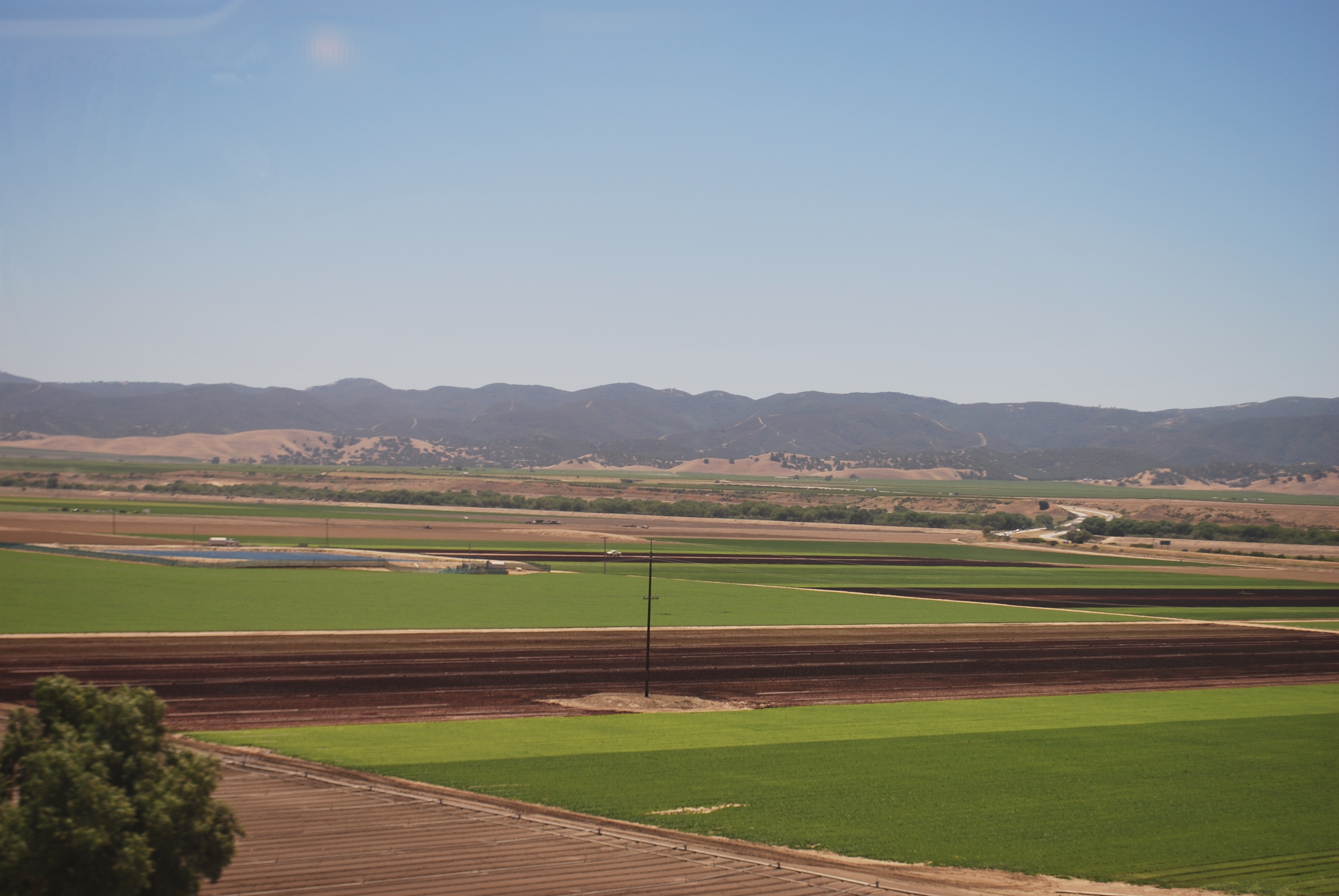
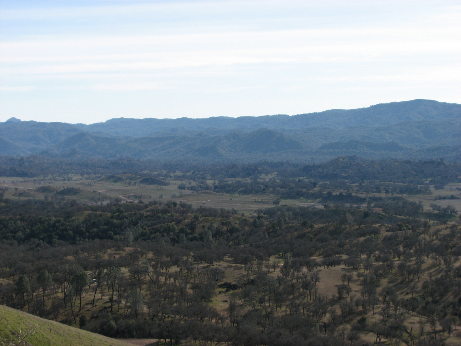
Views from the Amtrak Coast Starlight
Views from the Amtrak Coast Starlight

Oil Beneath

Makes Cattle Happy

P3212007002-1
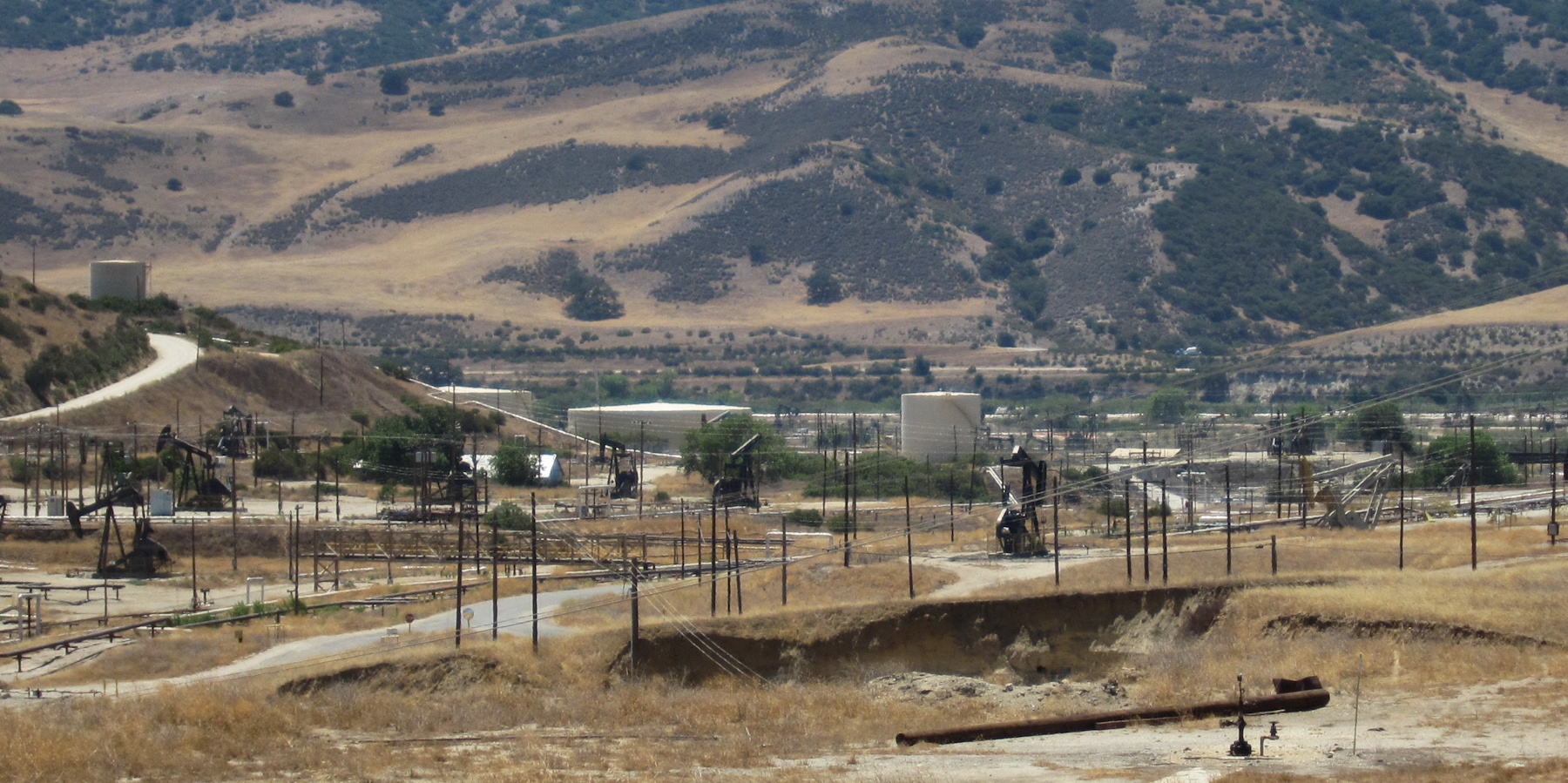
San Ardo oil field (3671)

USA_Day14-Way_To_Arroyo_Grande_03

Hunting at Fort Hunter Liggett
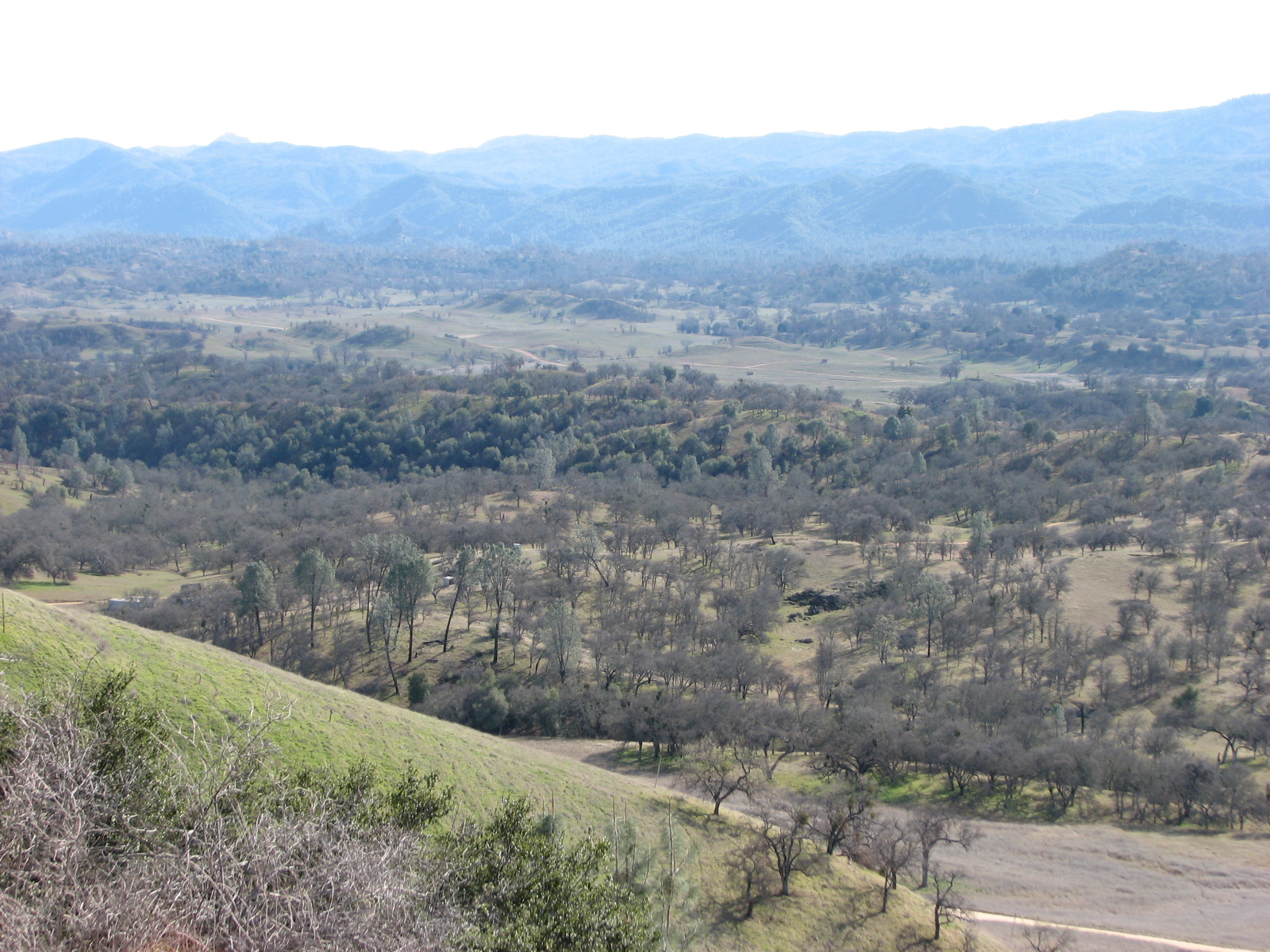
Hunting at Fort Hunter Liggett
Hunting at Fort Hunter Liggett

Hunting at Fort Hunter Liggett

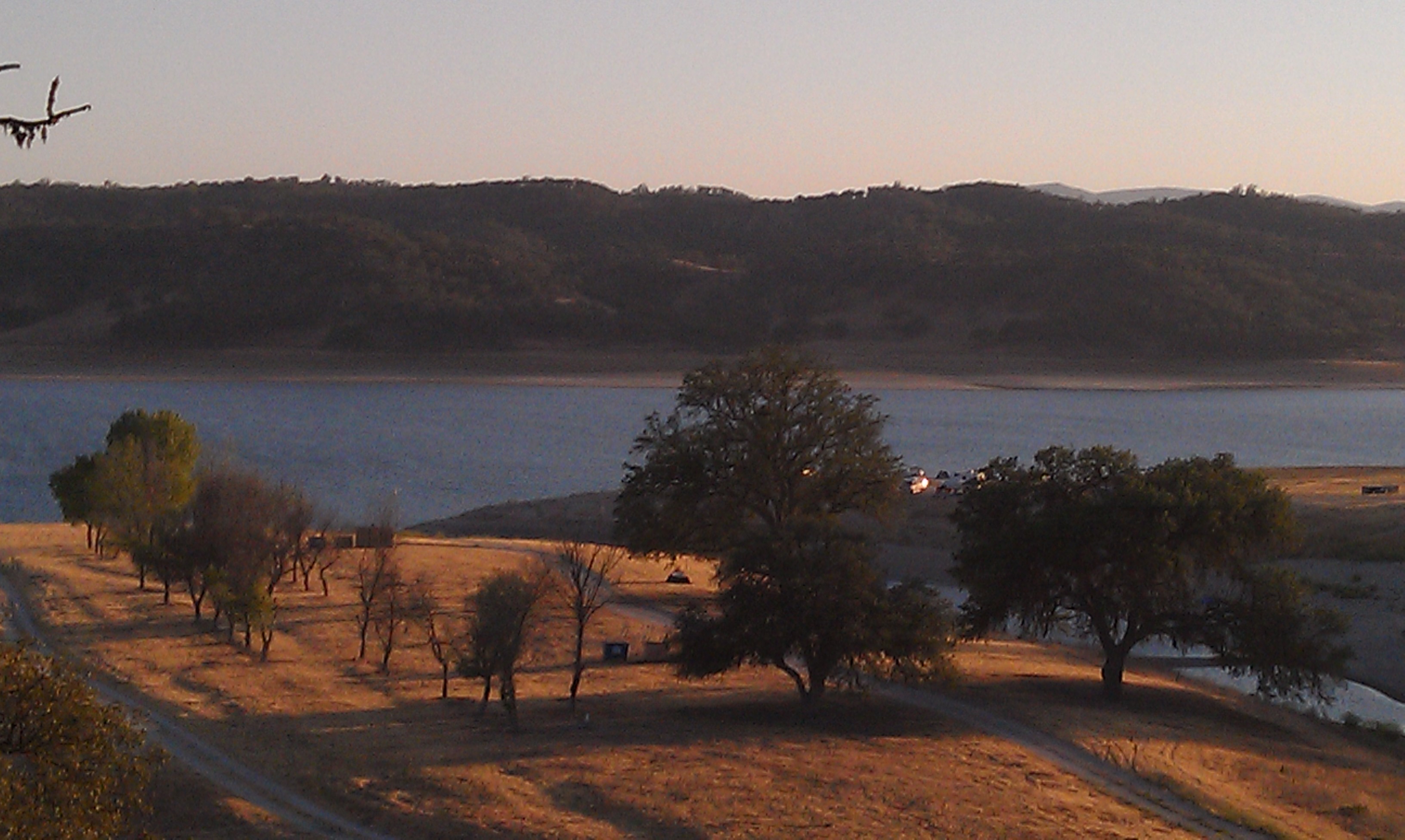
Lockwood tree at dawn
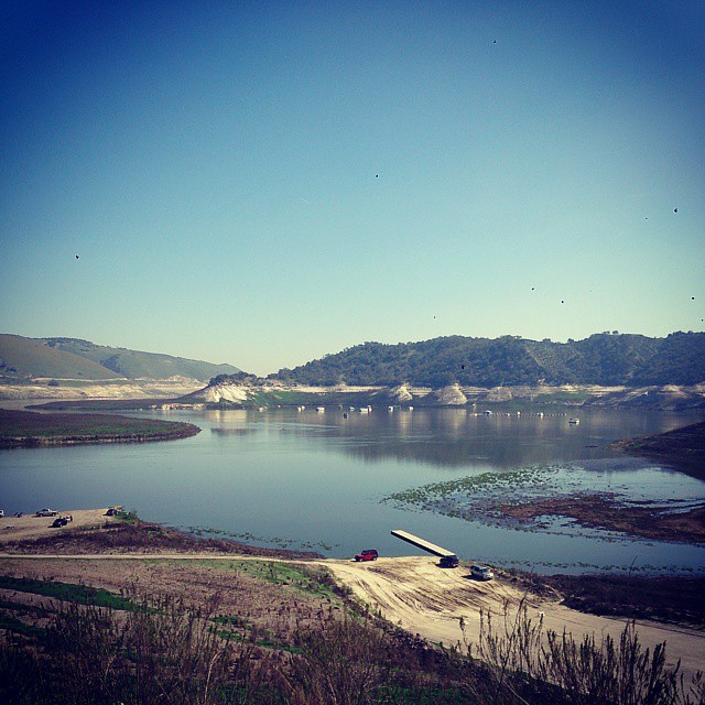
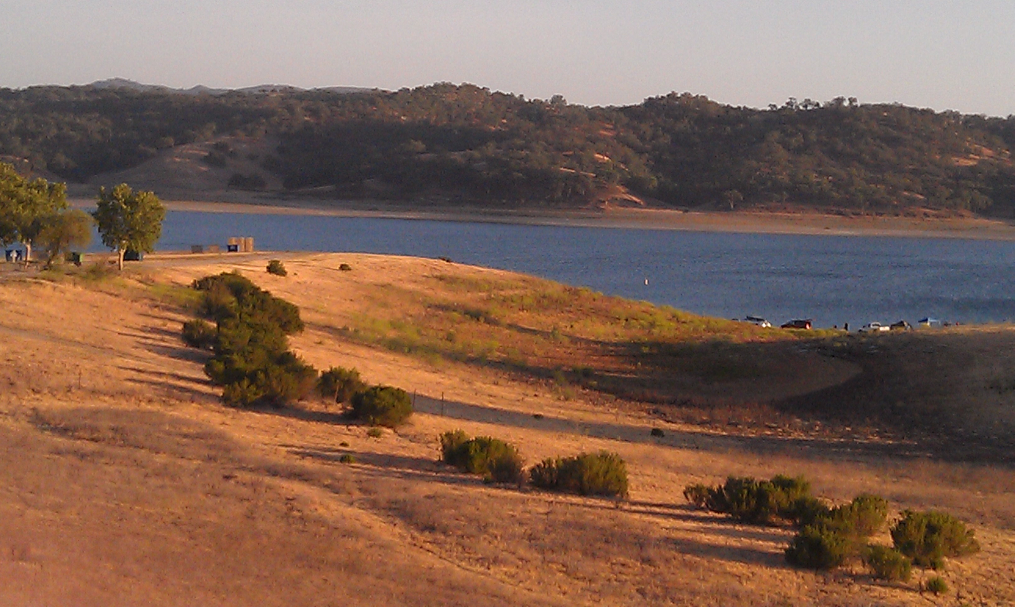
Standing on San Antonio Lake south beach. Starting to understand what draught means.
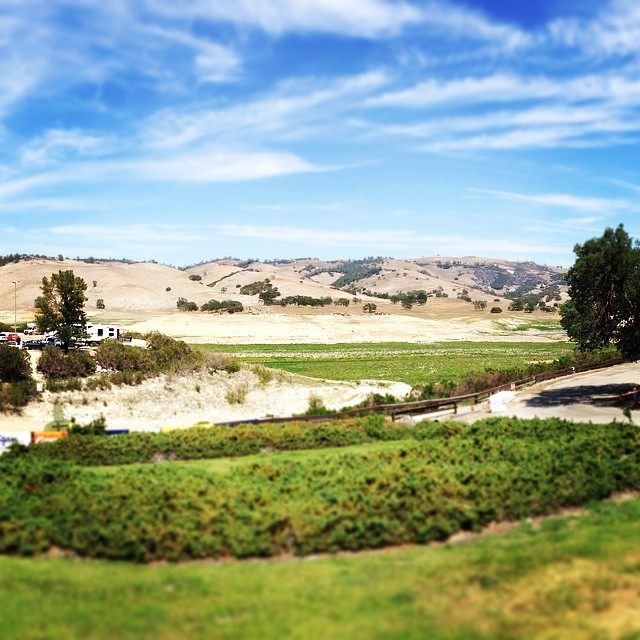
Touches of Green

On the way to Morro Bay!
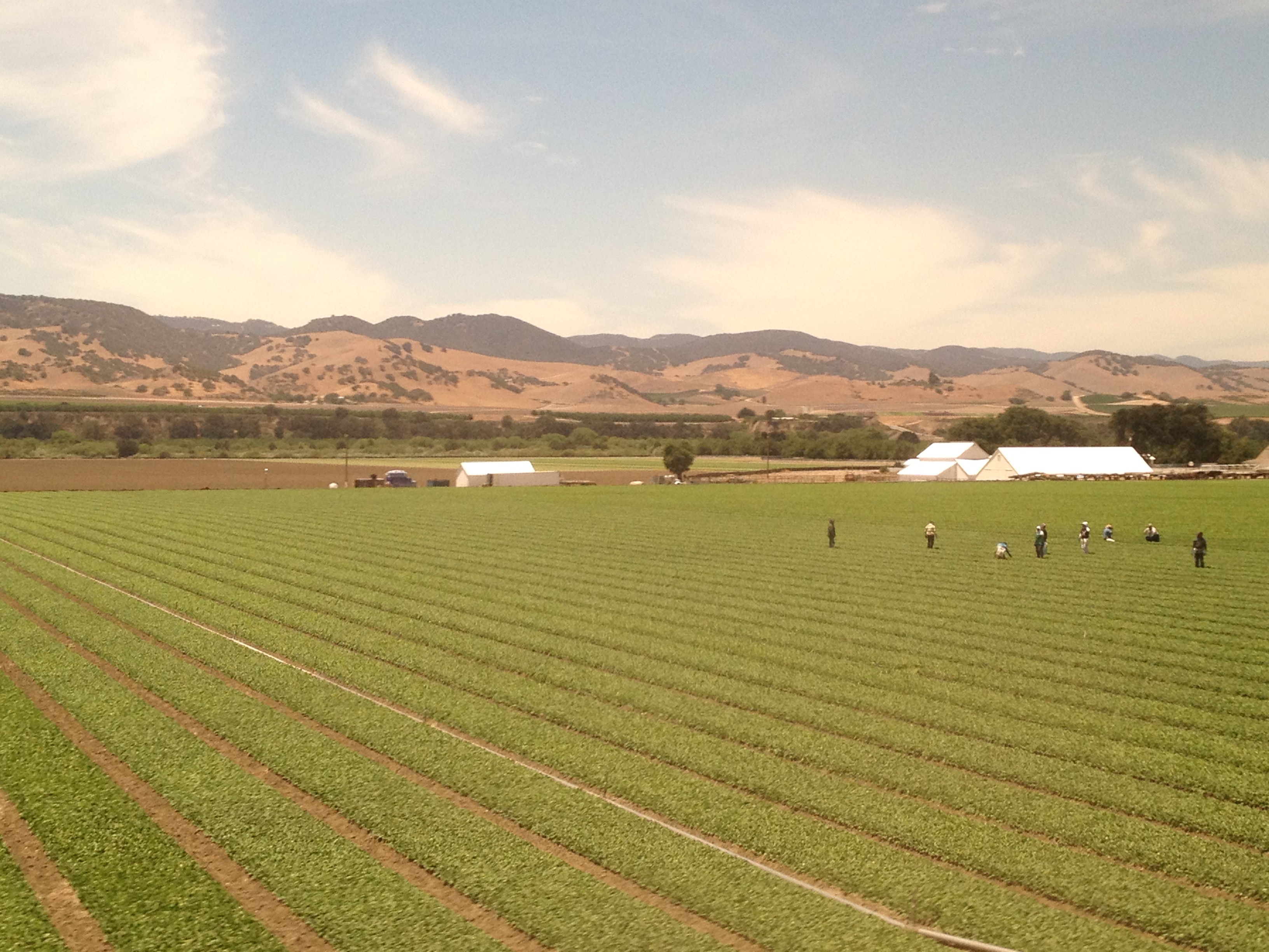
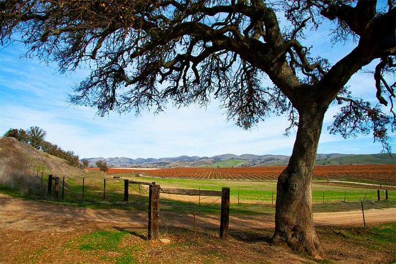
The Salinas Valley: America's Salad Bowl
IMAG1986.jpg
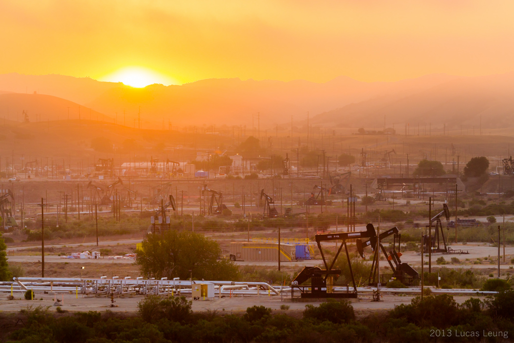
Sunrise over California Oil fields at Sargent Canyon

IMAG1999.jpg
IMAG1993.jpg
So, last year at this time, there was 96% more water in this lake. I told my buddy, "I knew we are in a drought. But now, I'm scared."
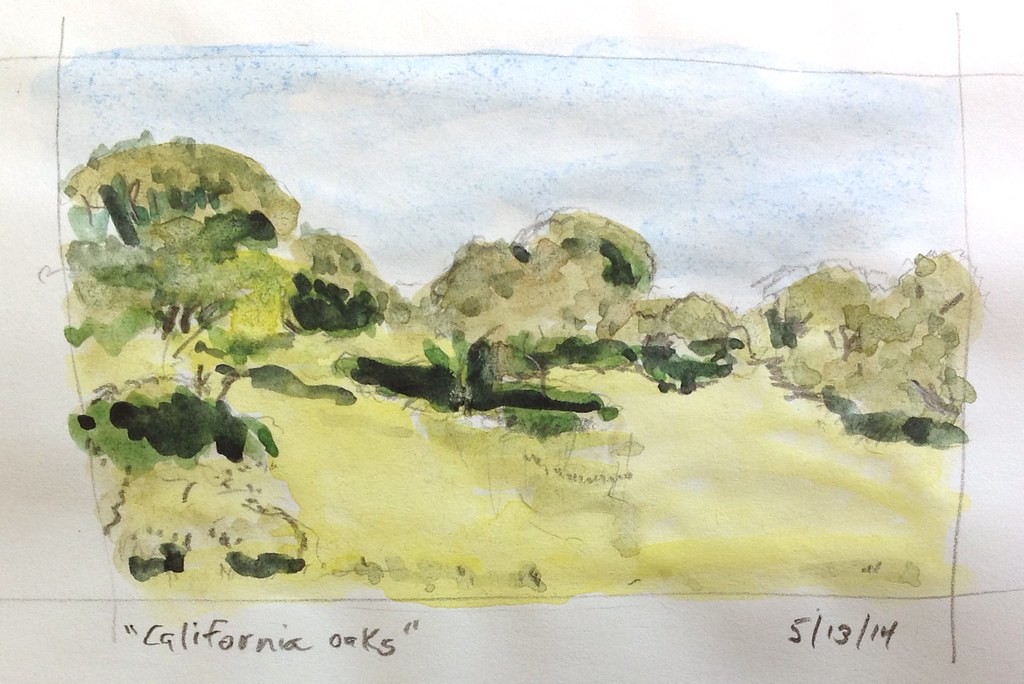
California Oaks

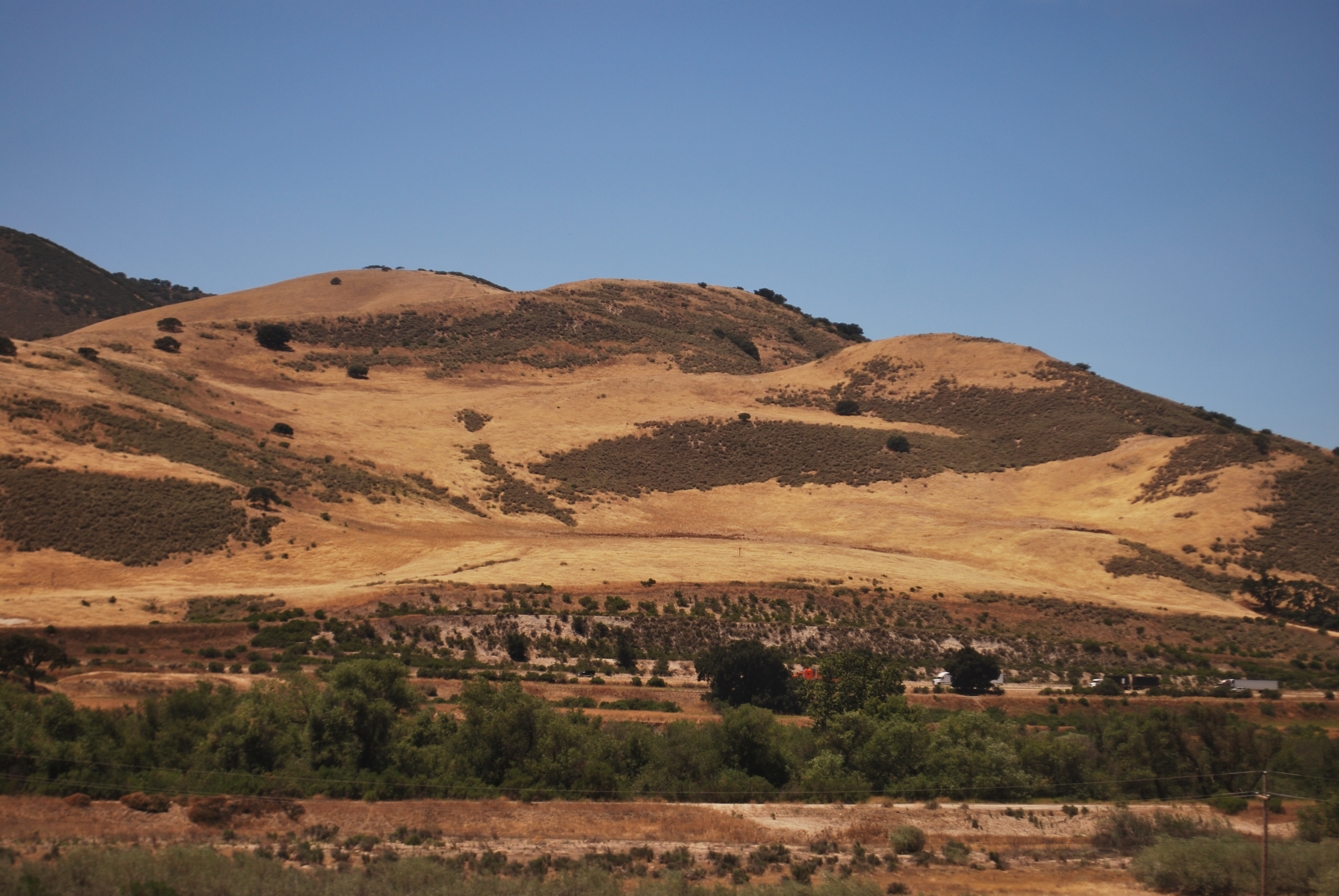
California Gold
Topographic Map of Williams Hill Recreation Area, Lockwood San Ardo Rd, Bradley, CA, USA
Find elevation by address:

Places near Williams Hill Recreation Area, Lockwood San Ardo Rd, Bradley, CA, USA:
Lockwood
Jolon Rd, Lockwood, CA, USA
67901 Jolon Rd
Main St, San Lucas, CA, USA
Jolon
76699 Hesperia Rd
48442 Sapaque Rd
Bryson Hesperia Rd, Bradley, CA, USA
Fort Hunter Liggett Visitor Control Center
2430 Stern Deck Rd
Fort Hunter Liggett Exchange
Pine Canyon Rd, King City, CA, USA
242 Rio Vista Dr
King City
Spreckels Road
Lonoak Rd, King City, CA, USA
Metz Rd, King City, CA, USA
Hearst Castle
Hearst Castle Road
Ragged Point
Recent Searches:
- Elevation of Corso Fratelli Cairoli, 35, Macerata MC, Italy
- Elevation of Tallevast Rd, Sarasota, FL, USA
- Elevation of 4th St E, Sonoma, CA, USA
- Elevation of Black Hollow Rd, Pennsdale, PA, USA
- Elevation of Oakland Ave, Williamsport, PA, USA
- Elevation of Pedrógão Grande, Portugal
- Elevation of Klee Dr, Martinsburg, WV, USA
- Elevation of Via Roma, Pieranica CR, Italy
- Elevation of Tavkvetili Mountain, Georgia
- Elevation of Hartfords Bluff Cir, Mt Pleasant, SC, USA