Elevation of Maricopa, CA, USA
Location: United States > California >
Longitude: -119.40095
Latitude: 35.058858
Elevation: 269m / 883feet
Barometric Pressure: 98KPa
Elevation Map:
Satellite Map:
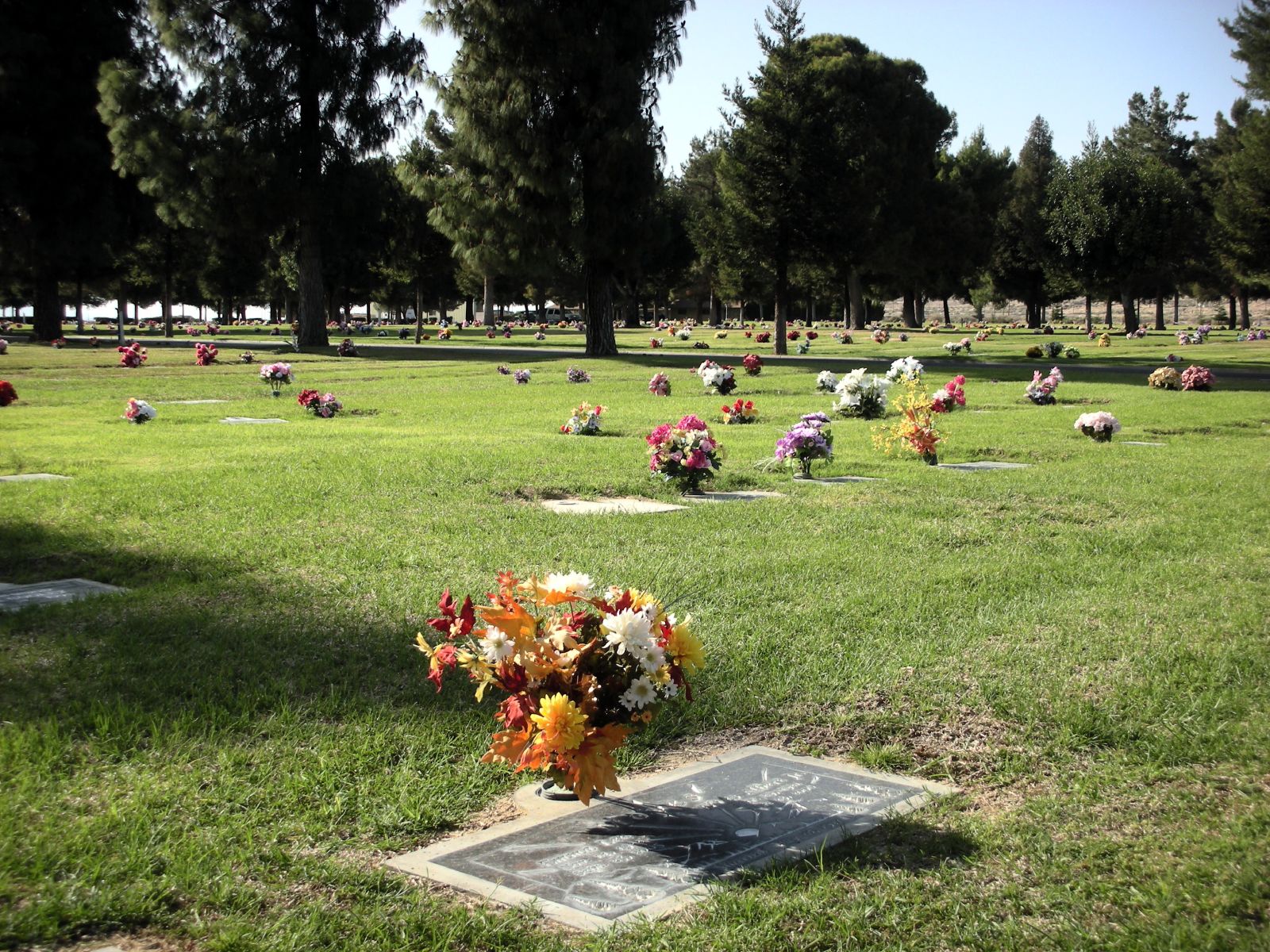
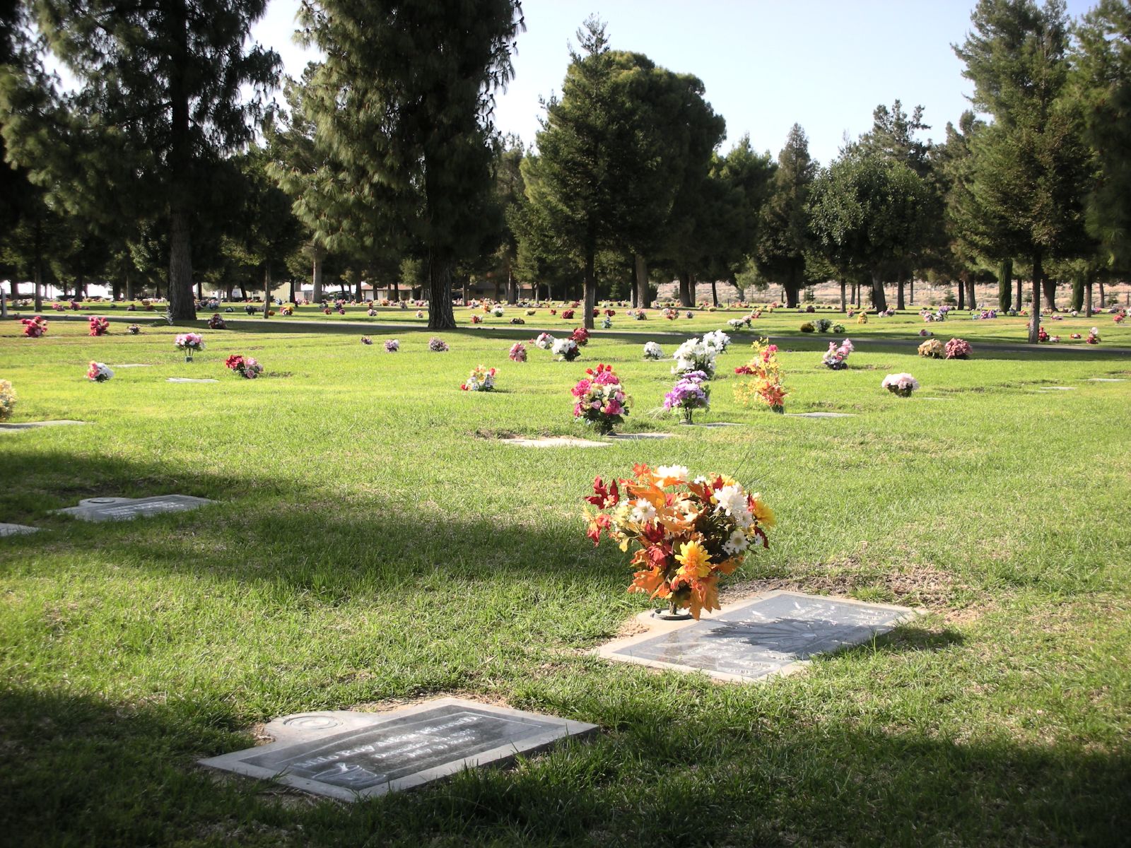
Related Photos:

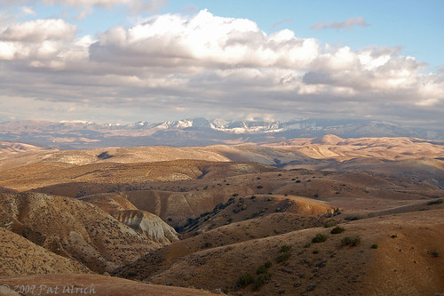
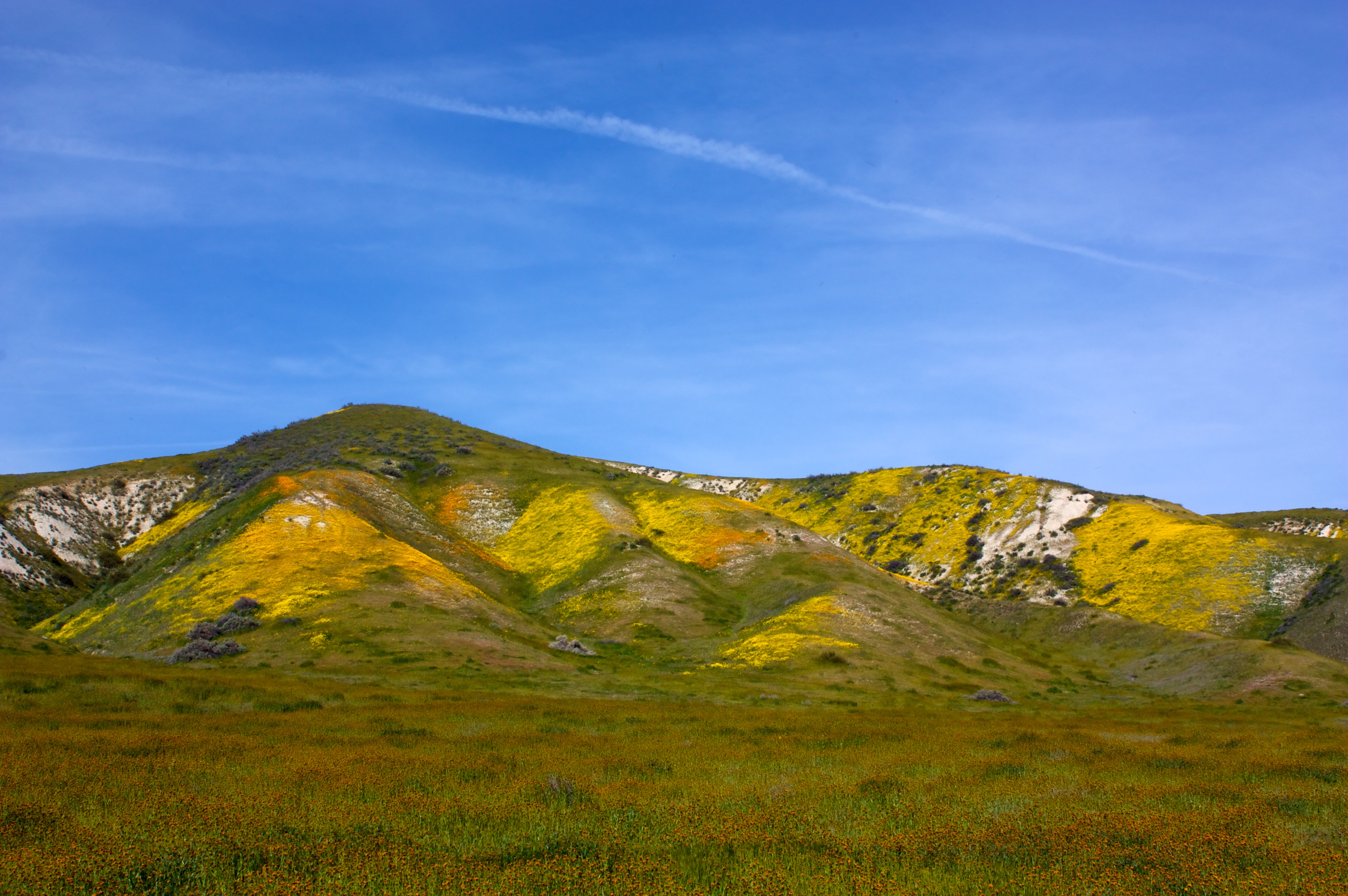
Dreaming of Carrizo
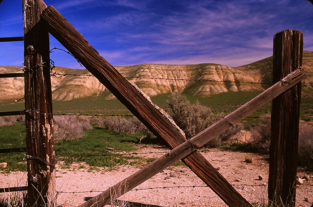
Crossing the Temblor Range
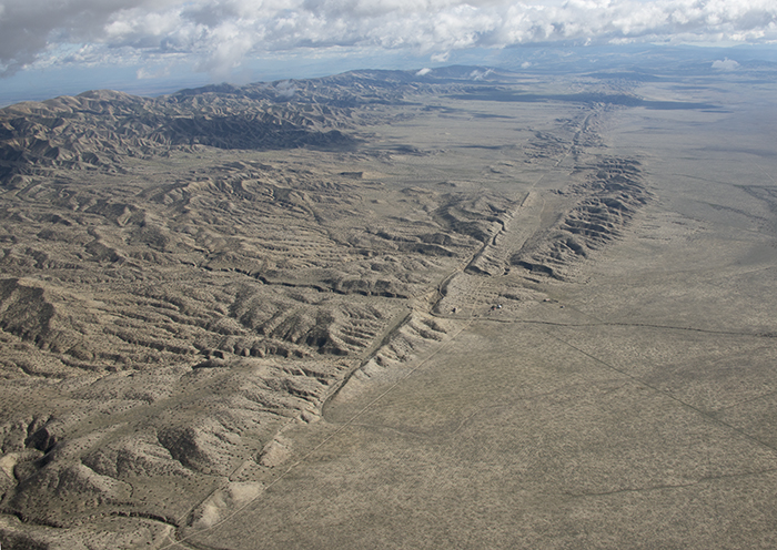
Aerial view of the San Andreas Fault, Carrizo Plain, California
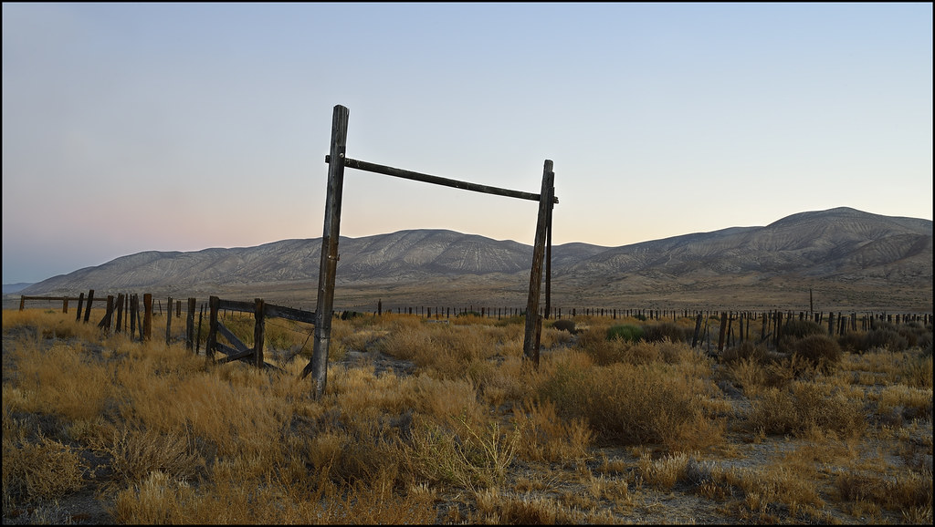
Home on the range...
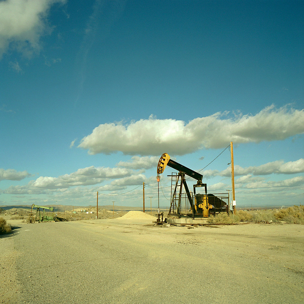
oil rig. maricopa, ca. 2008.
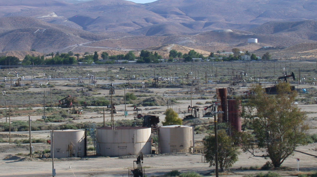
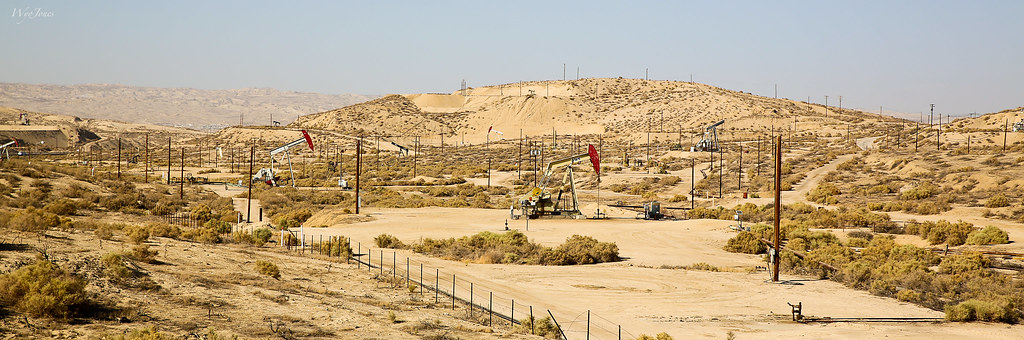
Maricopa CA oil fields (1123)
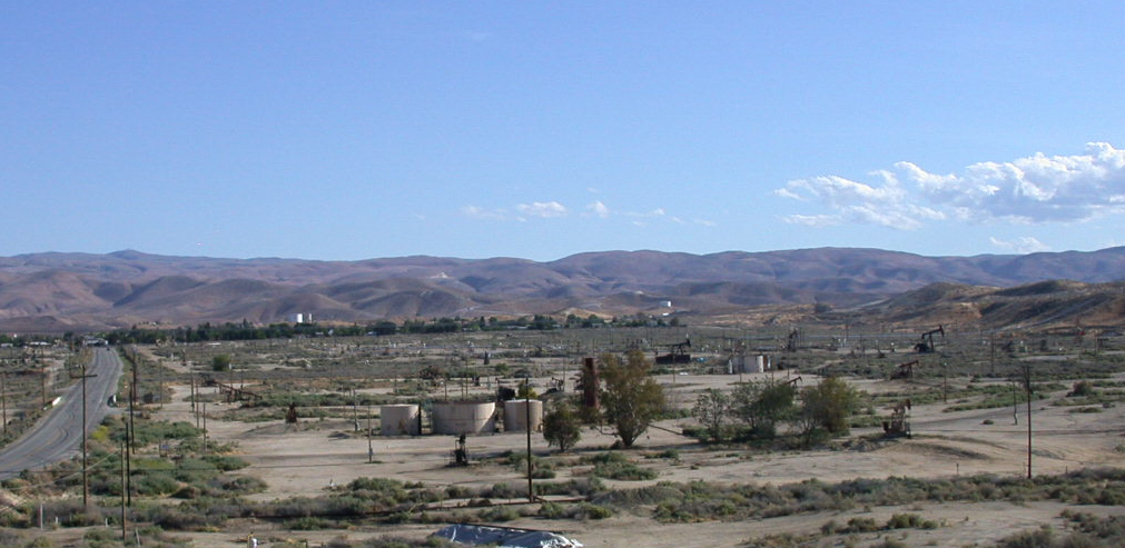
Maricopa CA oil fields (1122)
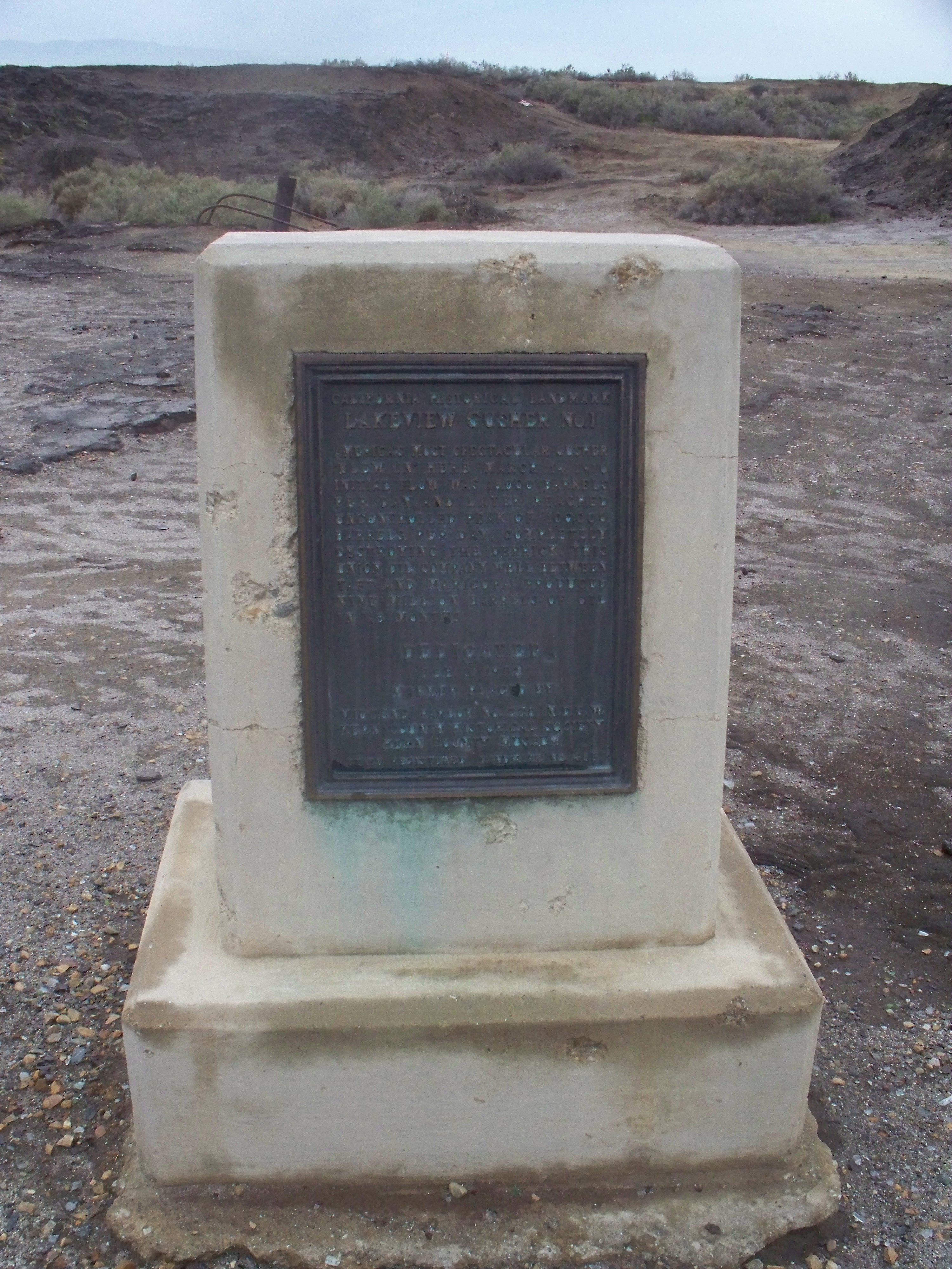
CHL# 485 Lake view Gusher Marker
Shot of the Day 6.28.08

Taft welcome sign (0687b)
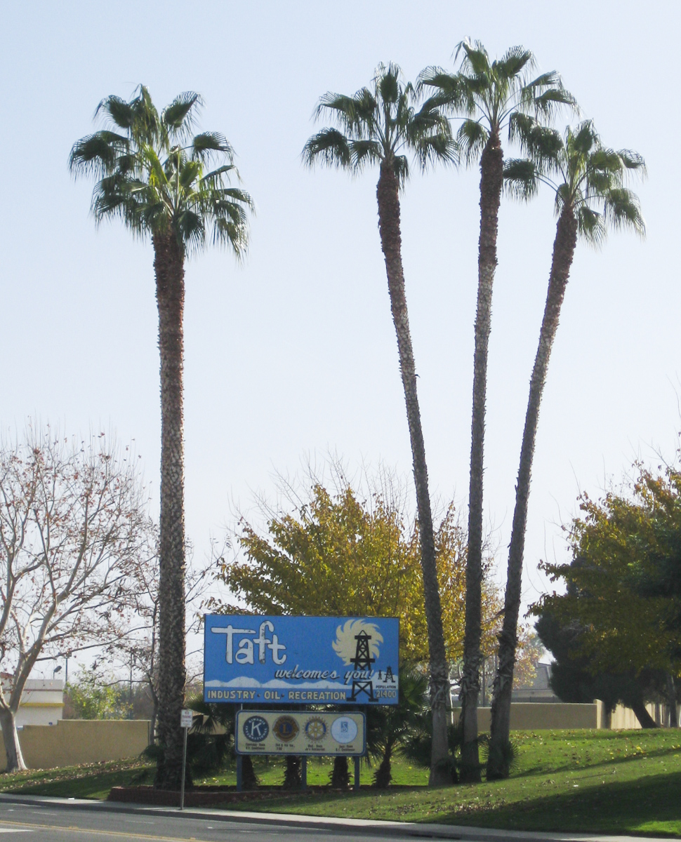
Taft welcome sign (0687)
Taft CA 1120
DSC_1136 (Copy)
IMG_7651 SODA LAKE RD
Momma Lee and Grandaddy's View
Milo, Momma Lee, and Granddaddy's View
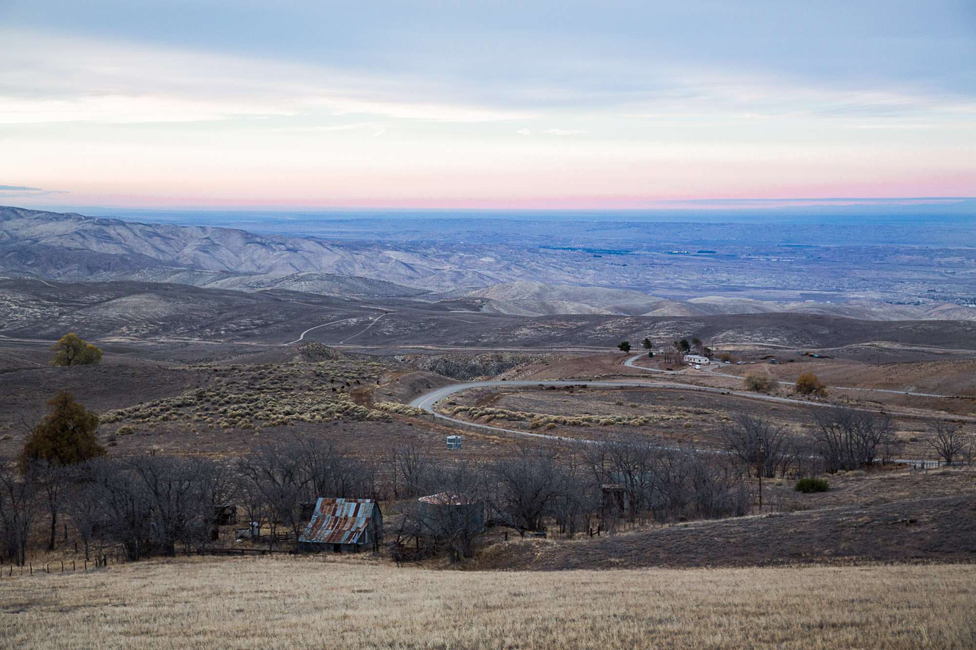
View of San Joaquin Valley from San Emigdio Mountains
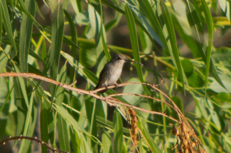
Black-chinned Hummingbird
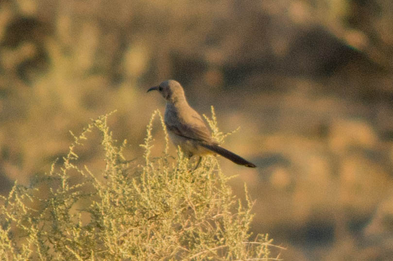
Le Conte's Thrasher
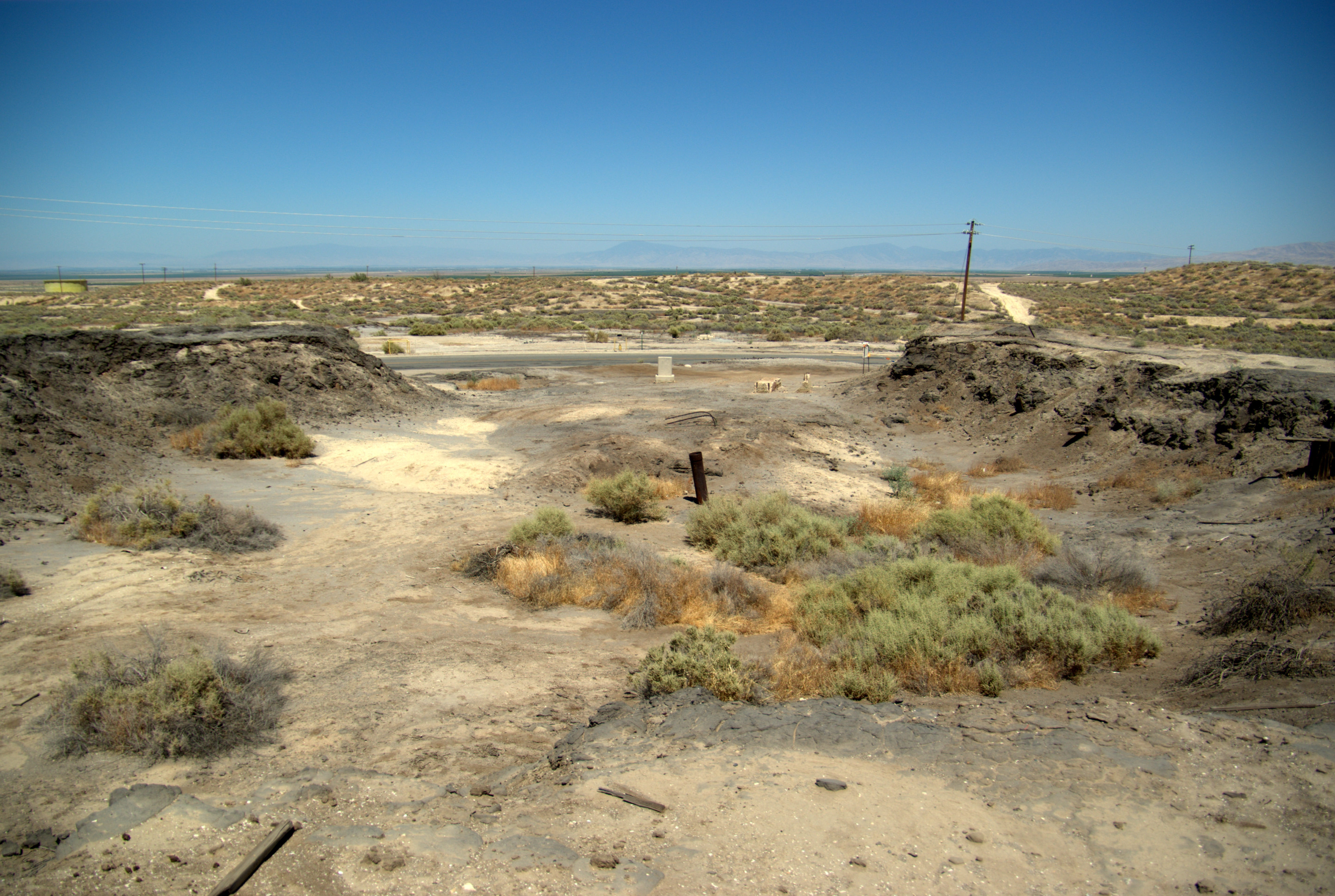
Lakeview Gusher Crater

Carrizo Plain National Monument
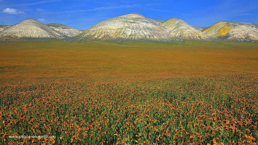
Carrizo Plain National Monument
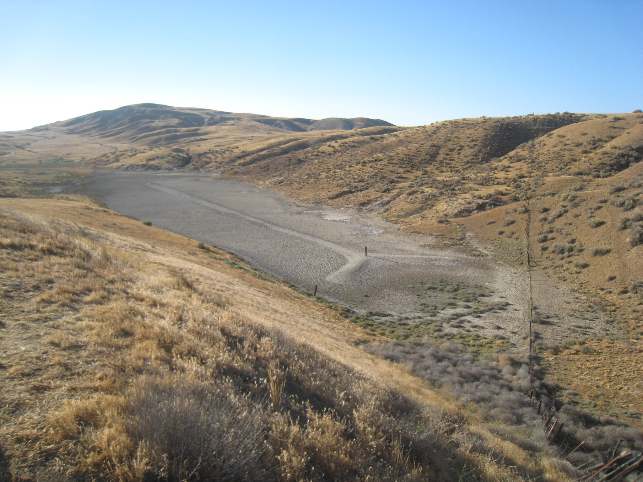
Sag Pond
Palette Hills

Gotta love th US countryside junk #bittercreek #junk #tractor #california #holidayusa
Klipstein Canyon
Verdant landscape
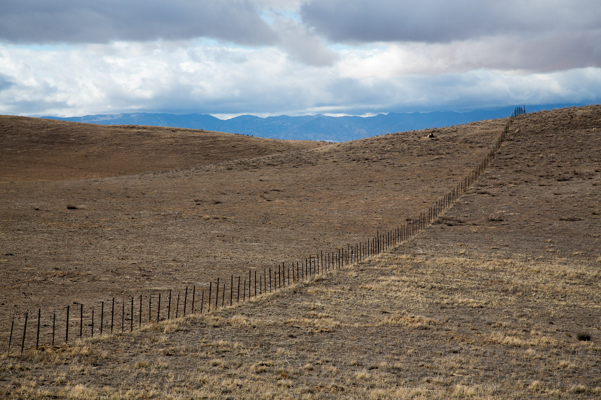
Western landscape, Kern County, California
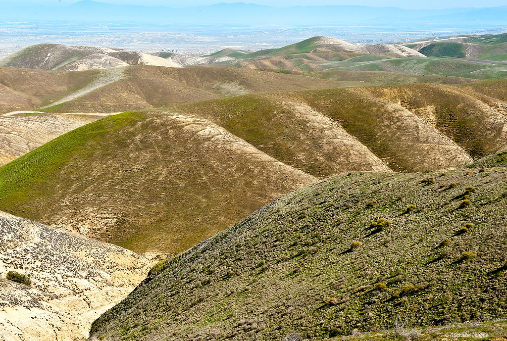
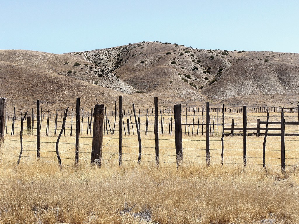
The undulating hills
This side, that side
Sunset-Midway Field

Elkhorn Grade

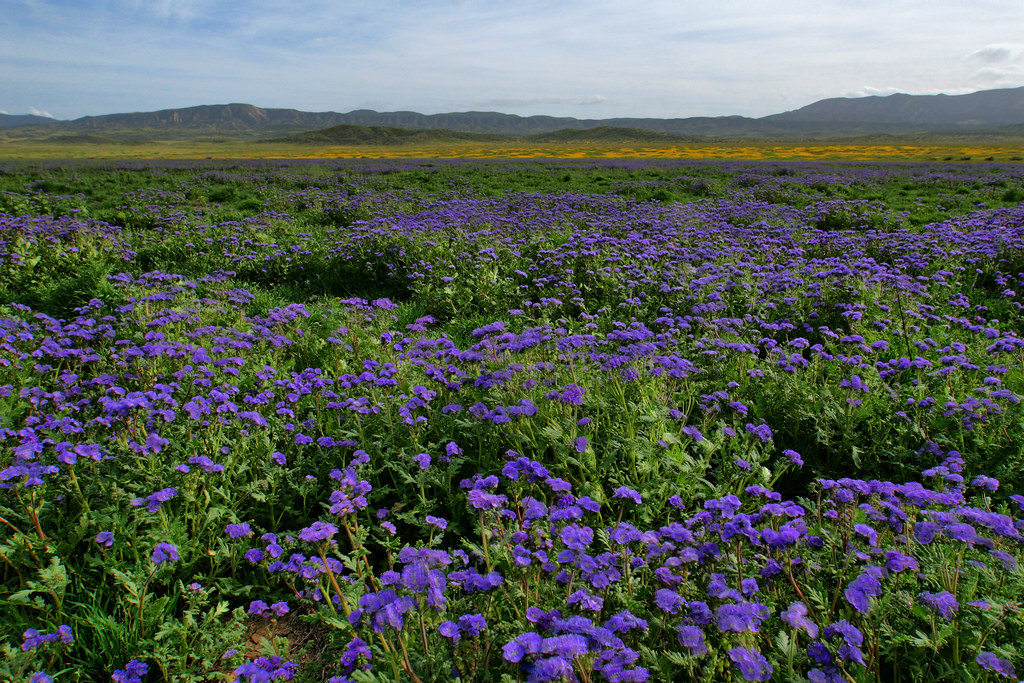
Carrizo Plains

So long to 2014!

Elkhorn Grade
Bill Lewis aka Lone Wolf 2/100
Topographic Map of Maricopa, CA, USA
Find elevation by address:

Places in Maricopa, CA, USA:
Thorn Point
Reyes Peak
Alamo Mountain
Snowy Peak
Sewart Mountain
Cobblestone Mountain
San Emigdio Mountain
Brush Mountain
Western Minerals Rd, Maricopa, CA, USA
Forest Route 8n01a
Places near Maricopa, CA, USA:
Western Minerals Rd, Maricopa, CA, USA
Copus Rd, Bakersfield, CA, USA
Lucard St, Taft, CA, USA
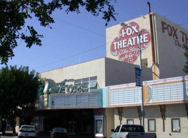
Taft
Philippine St, Taft, CA, USA
405 Alpine St
900 Arroyo Way
Cedar St, Taft, CA, USA
100 Sage St
Midoil Rd, Fellows, CA, USA
South Kern Industrial Center
El Roblar St, Maricopa, CA, USA
3700 Ca-33
Brush Mountain
San Emigdio Mountain
Eagle Rest Peak
2105 Pinewood Ct
Pine Mountain Club Real Estate
2616 Teakwood Ct
2616 Teakwood Ct
Recent Searches:
- Elevation of Corso Fratelli Cairoli, 35, Macerata MC, Italy
- Elevation of Tallevast Rd, Sarasota, FL, USA
- Elevation of 4th St E, Sonoma, CA, USA
- Elevation of Black Hollow Rd, Pennsdale, PA, USA
- Elevation of Oakland Ave, Williamsport, PA, USA
- Elevation of Pedrógão Grande, Portugal
- Elevation of Klee Dr, Martinsburg, WV, USA
- Elevation of Via Roma, Pieranica CR, Italy
- Elevation of Tavkvetili Mountain, Georgia
- Elevation of Hartfords Bluff Cir, Mt Pleasant, SC, USA