Elevation of Snowy Peak, California, USA
Location: United States > California > Maricopa >
Longitude: -118.888708
Latitude: 34.6494303
Elevation: 1894m / 6214feet
Barometric Pressure: 0KPa
Related Photos:

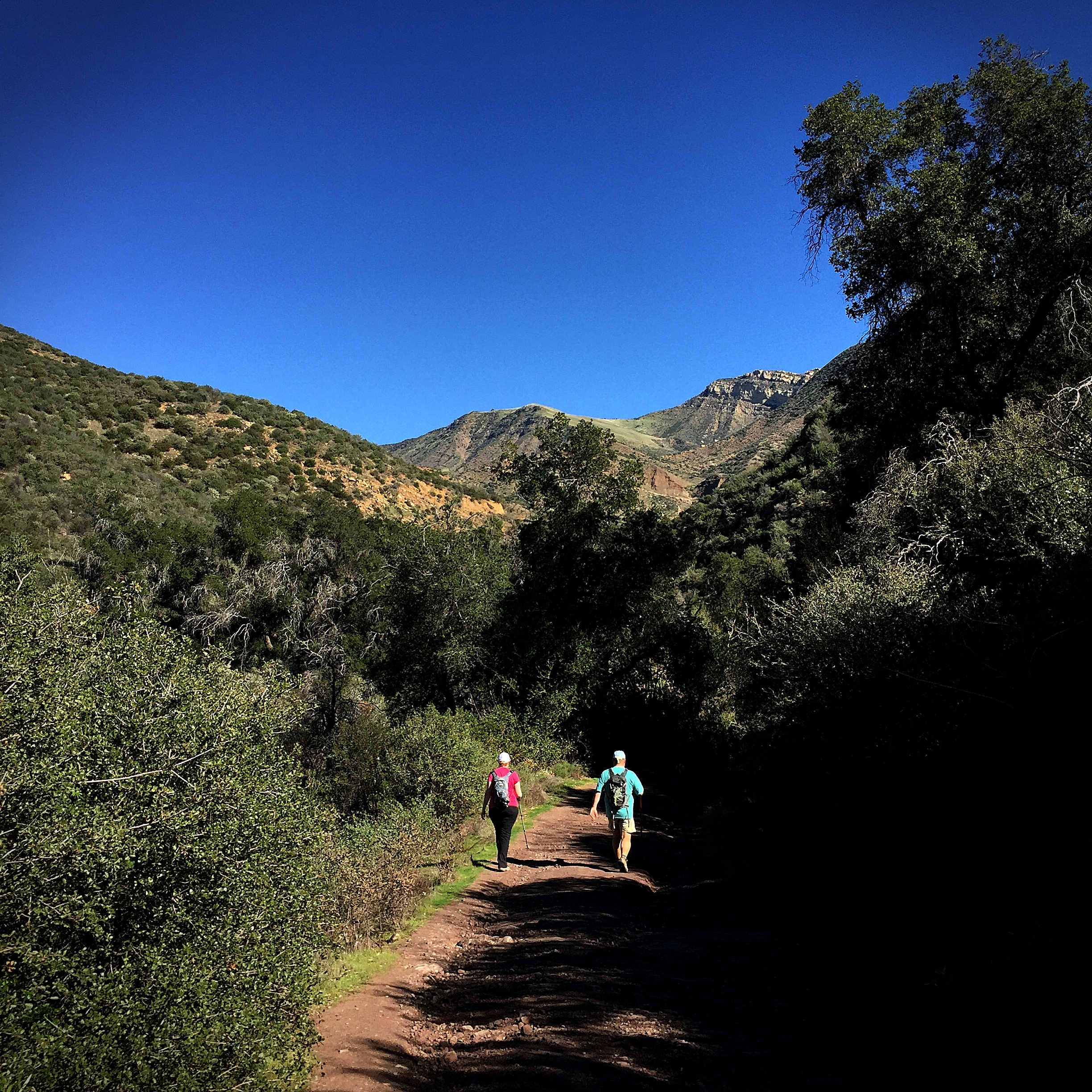
The Sespe Wilderness
park on the lake, perhaps
Tejon Pass
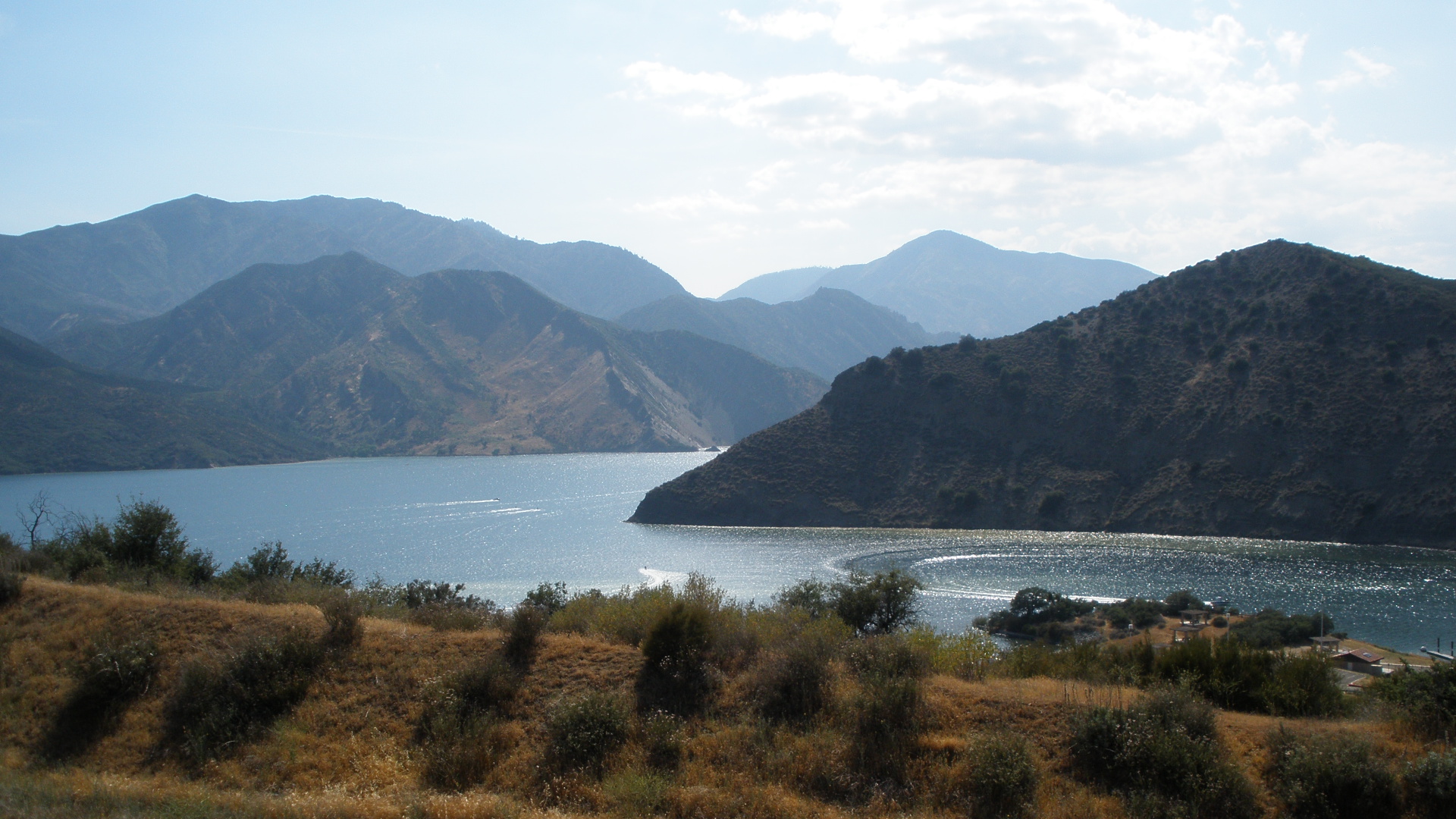
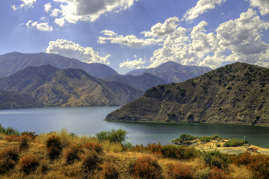
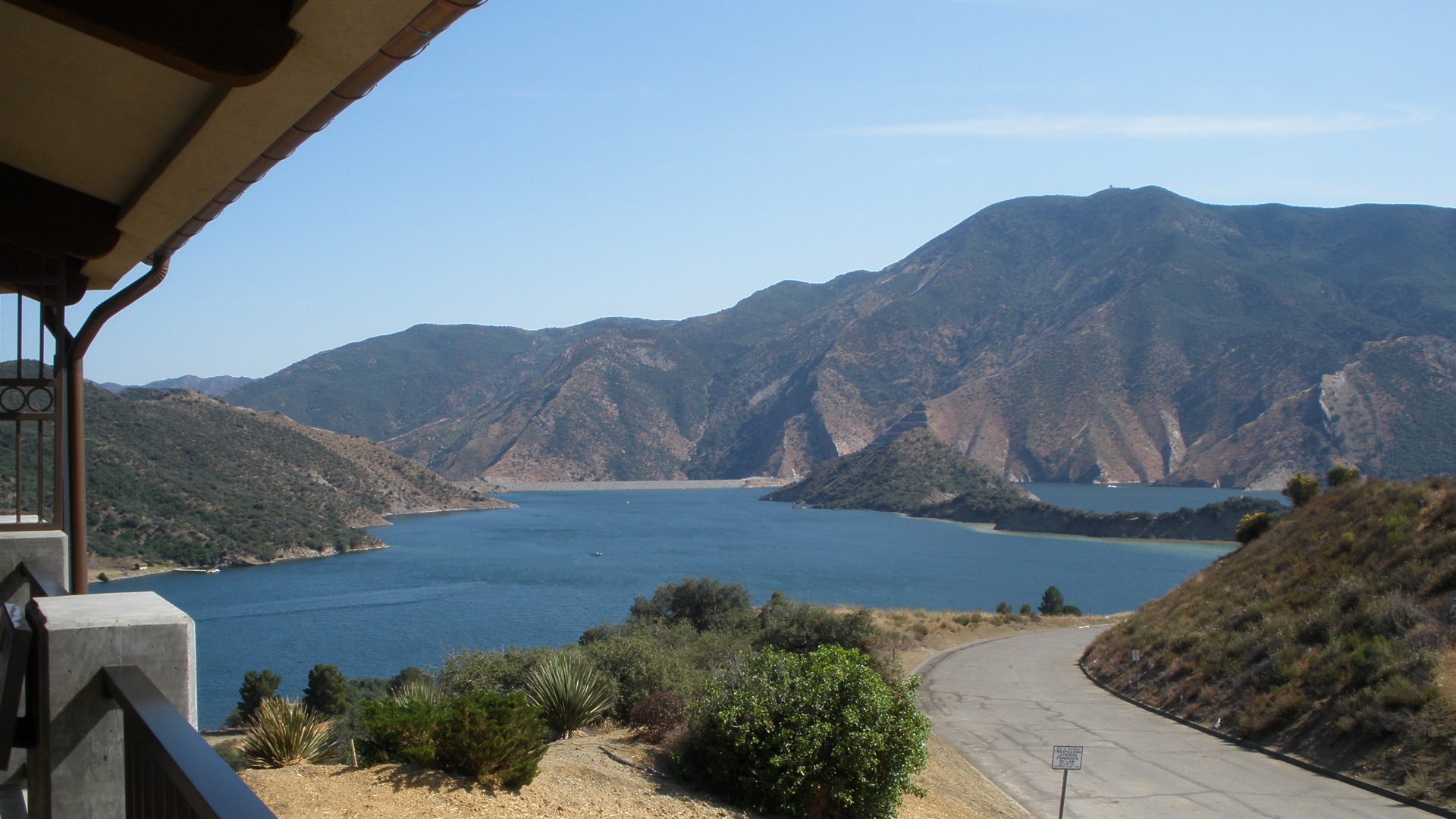
Pyramid Lake

Pyarmid lake
Pyramid Lake
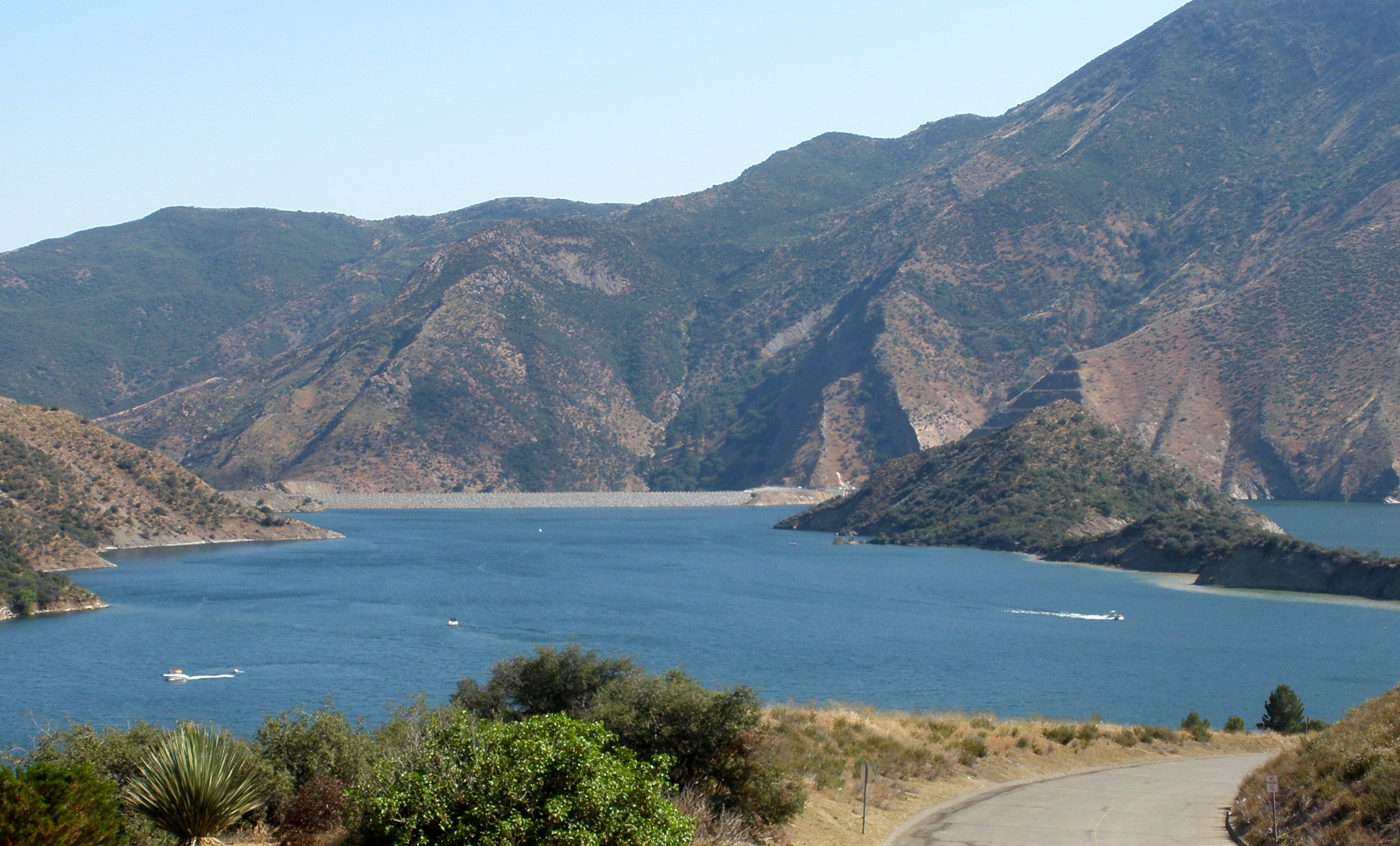
Pyramid Lake
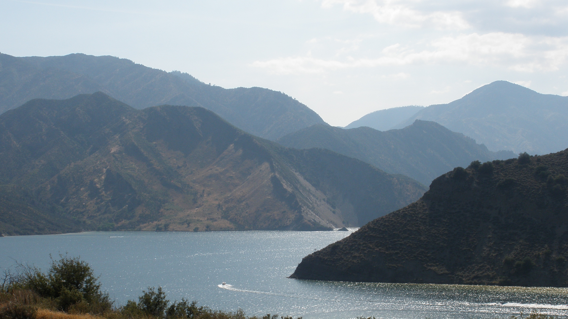
Pyramid Lake
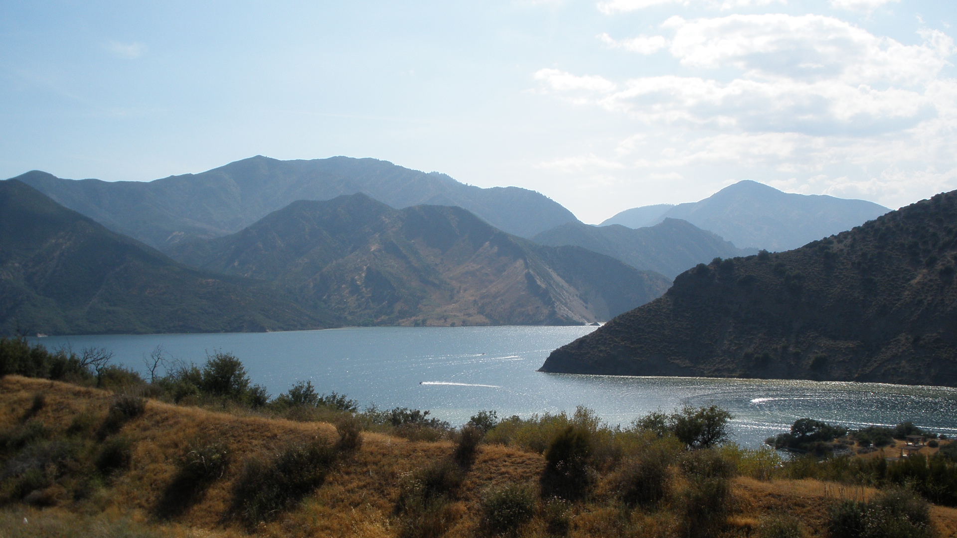
Pyramid Lake
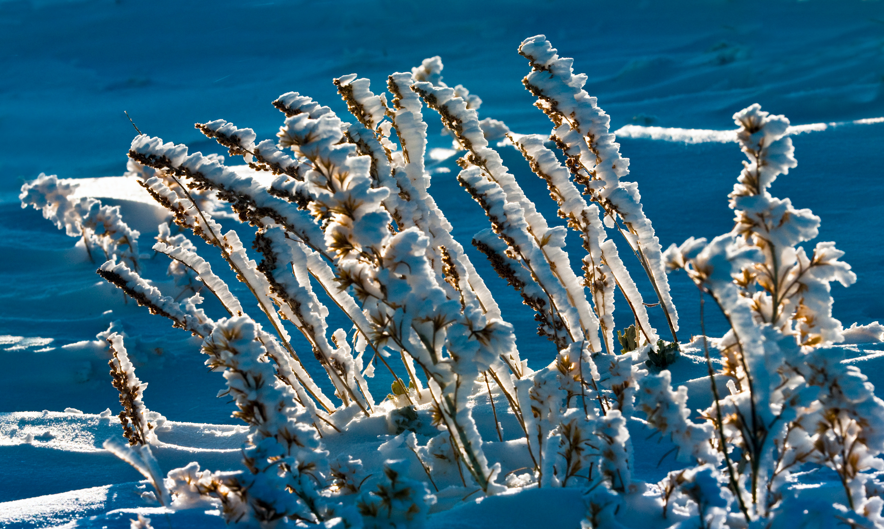
Tejon Pass, Southern California Winter

i5 views
Sespe views
Topographic Map of Snowy Peak, California, USA
Find elevation by address:

Places near Snowy Peak, California, USA:
Sewart Mountain
Alamo Mountain
Aliklik Campground
Kings Campground
Forest Route 8n01a
Smith Forks Campground
Lane Ranch Campground
Lower Scrub Oak Campground
Upper Scrub Oak Campground
Honey Valley Group Campground
Sterling Canyon Campground
Edison Campground
Frazier Mountain
Gorman
Tejon Pass
San Andreas Fault - Pacific Plate And North American Plate Visible Boundary
Half Moon Campground
Lockwood Peak
Lockwood Valley Rd, Frazier Park, CA, USA
Mill Canyon Road
Recent Searches:
- Elevation of Sullivan Hill, New York, New York, 10002, USA
- Elevation of Morehead Road, Withrow Downs, Charlotte, Mecklenburg County, North Carolina, 28262, USA
- Elevation of 2800, Morehead Road, Withrow Downs, Charlotte, Mecklenburg County, North Carolina, 28262, USA
- Elevation of Yangbi Yi Autonomous County, Yunnan, China
- Elevation of Pingpo, Yangbi Yi Autonomous County, Yunnan, China
- Elevation of Mount Malong, Pingpo, Yangbi Yi Autonomous County, Yunnan, China
- Elevation map of Yongping County, Yunnan, China
- Elevation of North 8th Street, Palatka, Putnam County, Florida, 32177, USA
- Elevation of 107, Big Apple Road, East Palatka, Putnam County, Florida, 32131, USA
- Elevation of Jiezi, Chongzhou City, Sichuan, China
- Elevation of Chongzhou City, Sichuan, China
- Elevation of Huaiyuan, Chongzhou City, Sichuan, China
- Elevation of Qingxia, Chengdu, Sichuan, China
- Elevation of Corso Fratelli Cairoli, 35, Macerata MC, Italy
- Elevation of Tallevast Rd, Sarasota, FL, USA
- Elevation of 4th St E, Sonoma, CA, USA
- Elevation of Black Hollow Rd, Pennsdale, PA, USA
- Elevation of Oakland Ave, Williamsport, PA, USA
- Elevation of Pedrógão Grande, Portugal
- Elevation of Klee Dr, Martinsburg, WV, USA