Elevation of Doyle, CA, USA
Location: United States > California >
Longitude: -120.10405
Latitude: 40.0272338
Elevation: 1303m / 4275feet
Barometric Pressure: 87KPa
Elevation Map:
Satellite Map:
Related Photos:

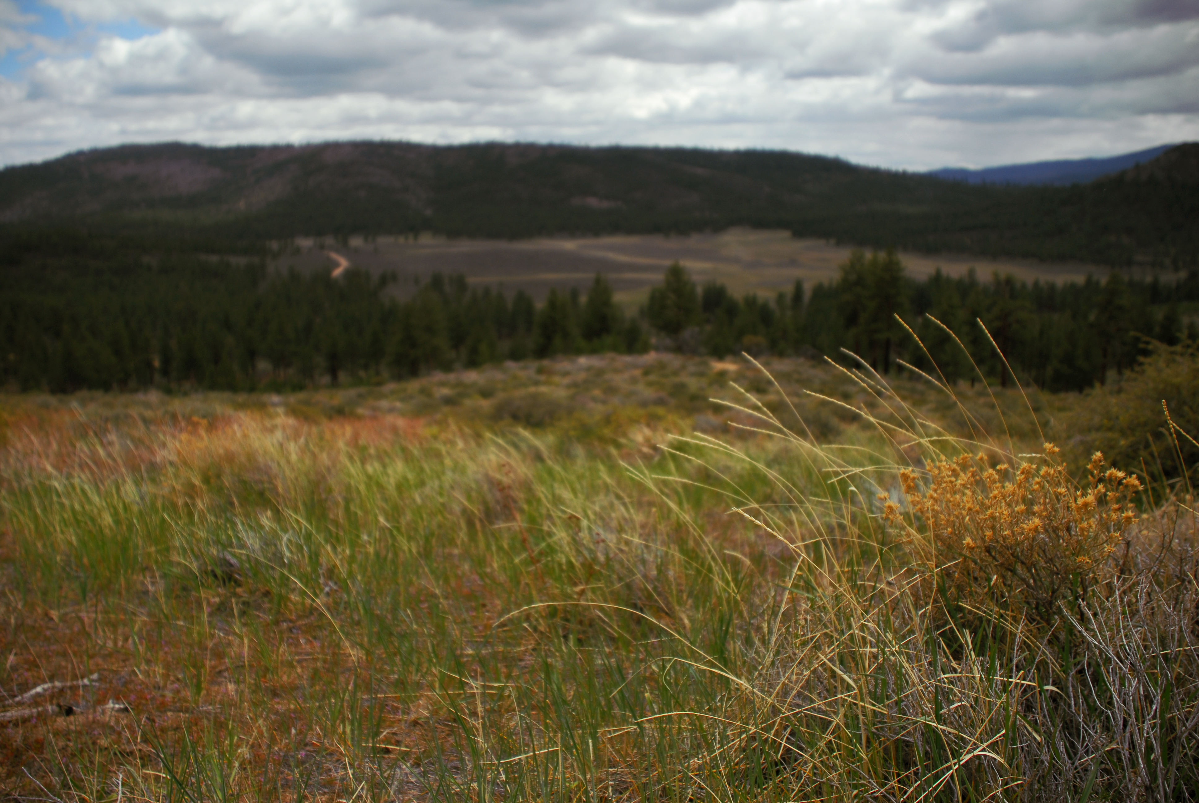
In the woods. (Explored #314)

AdamsPeak_20091108-125436

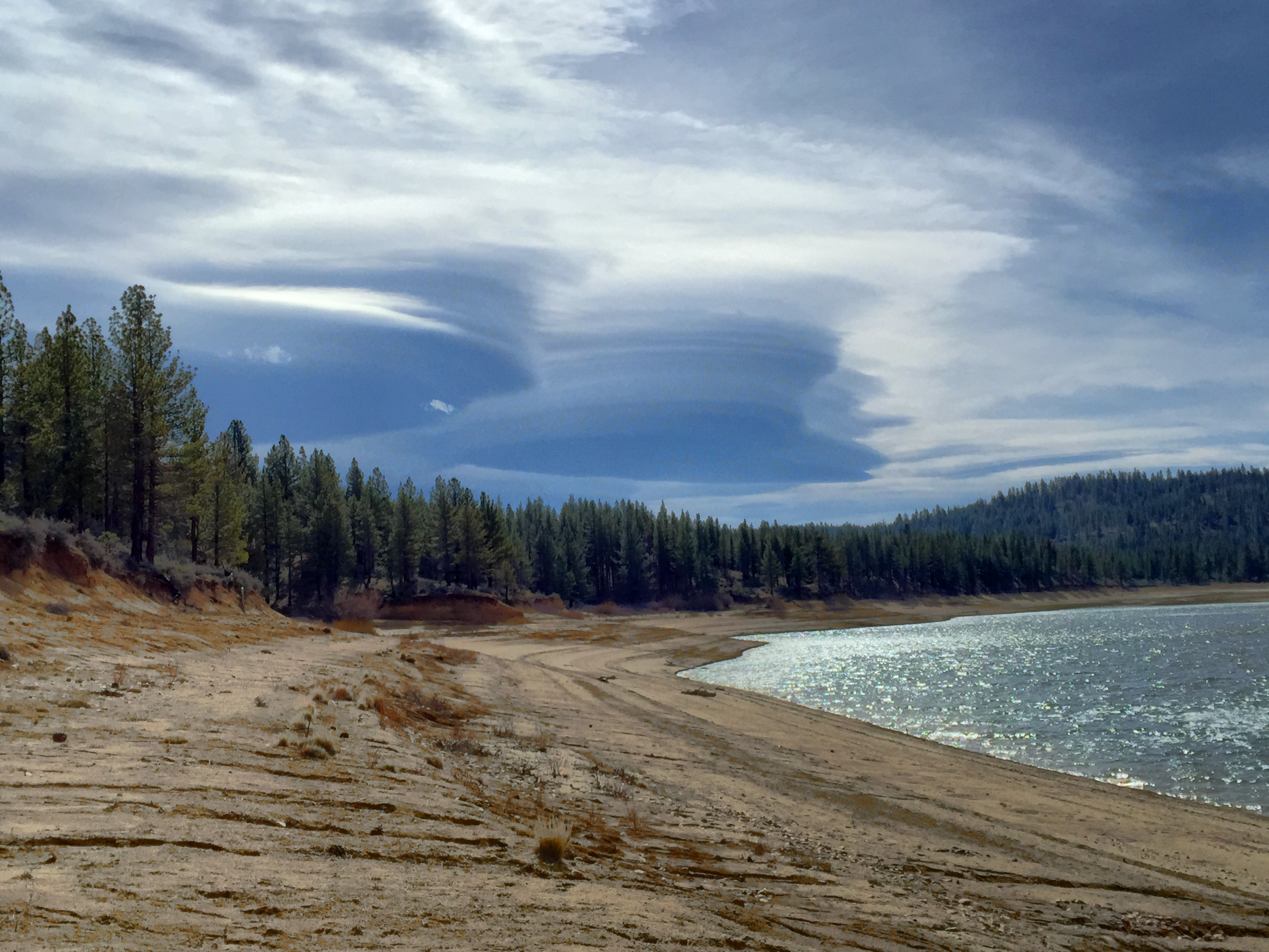
A great day for cloud watching at Frenchmans Lake
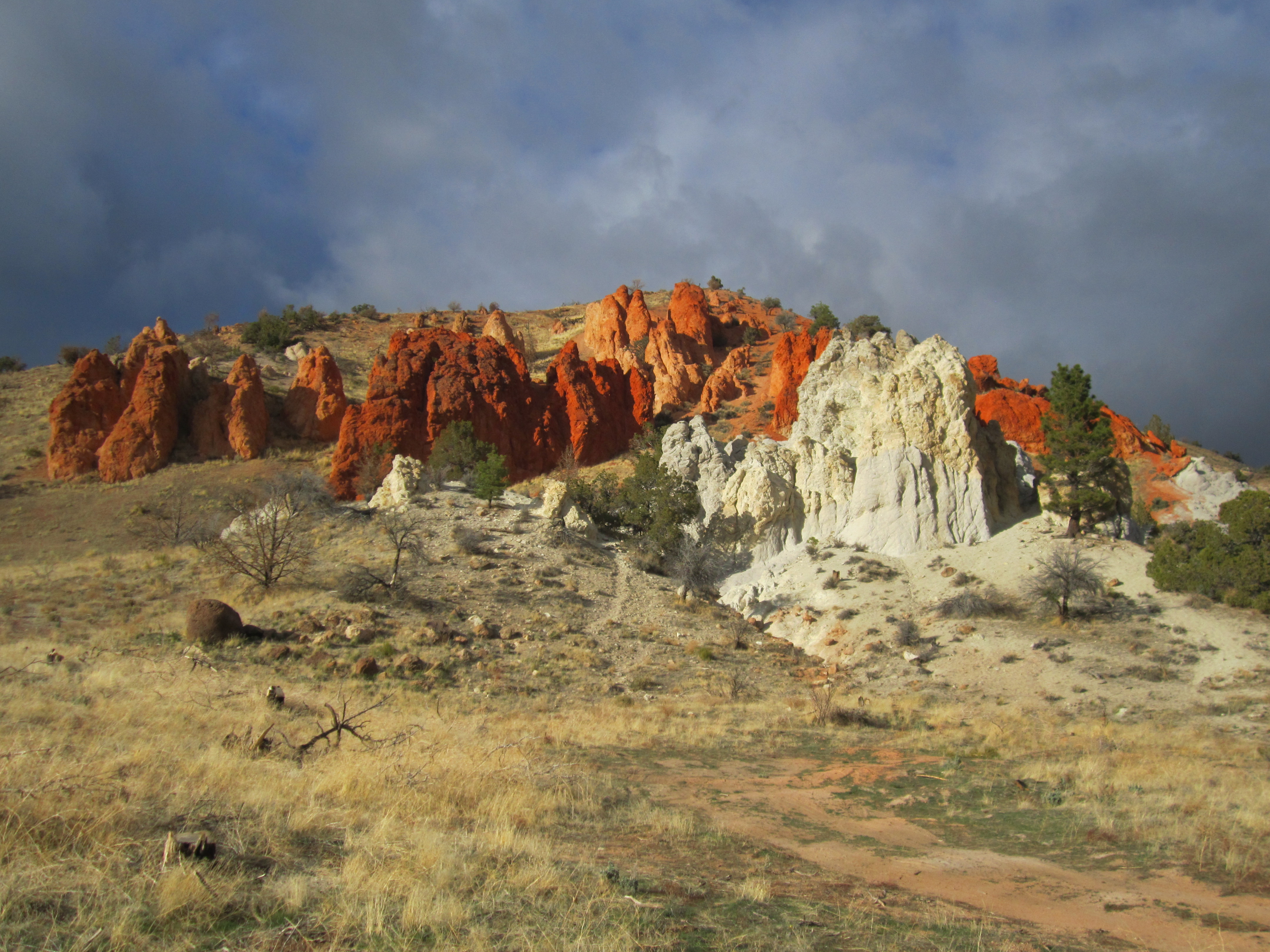
Red Rock
Pi day 2015

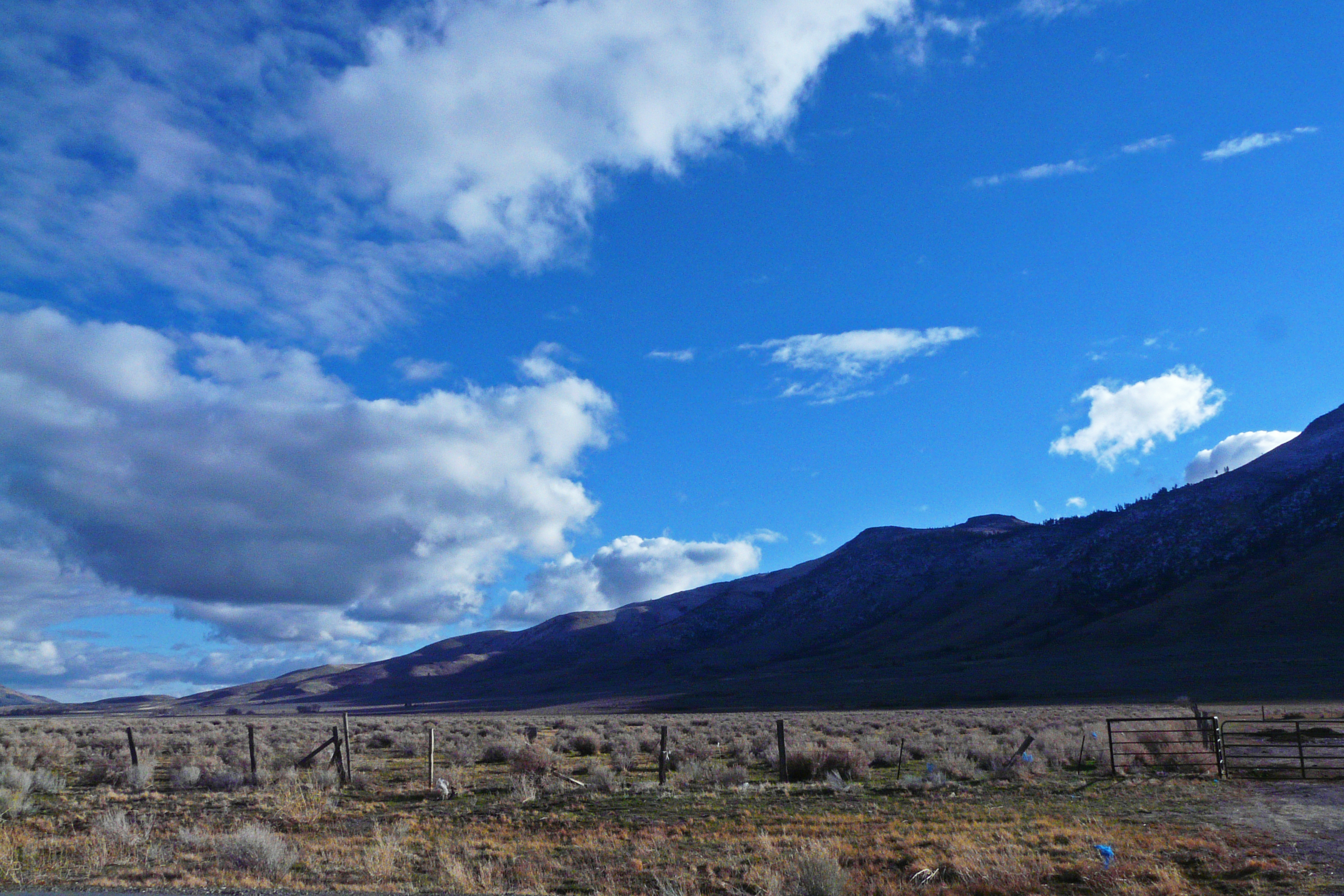
Red Rocks north of Reno
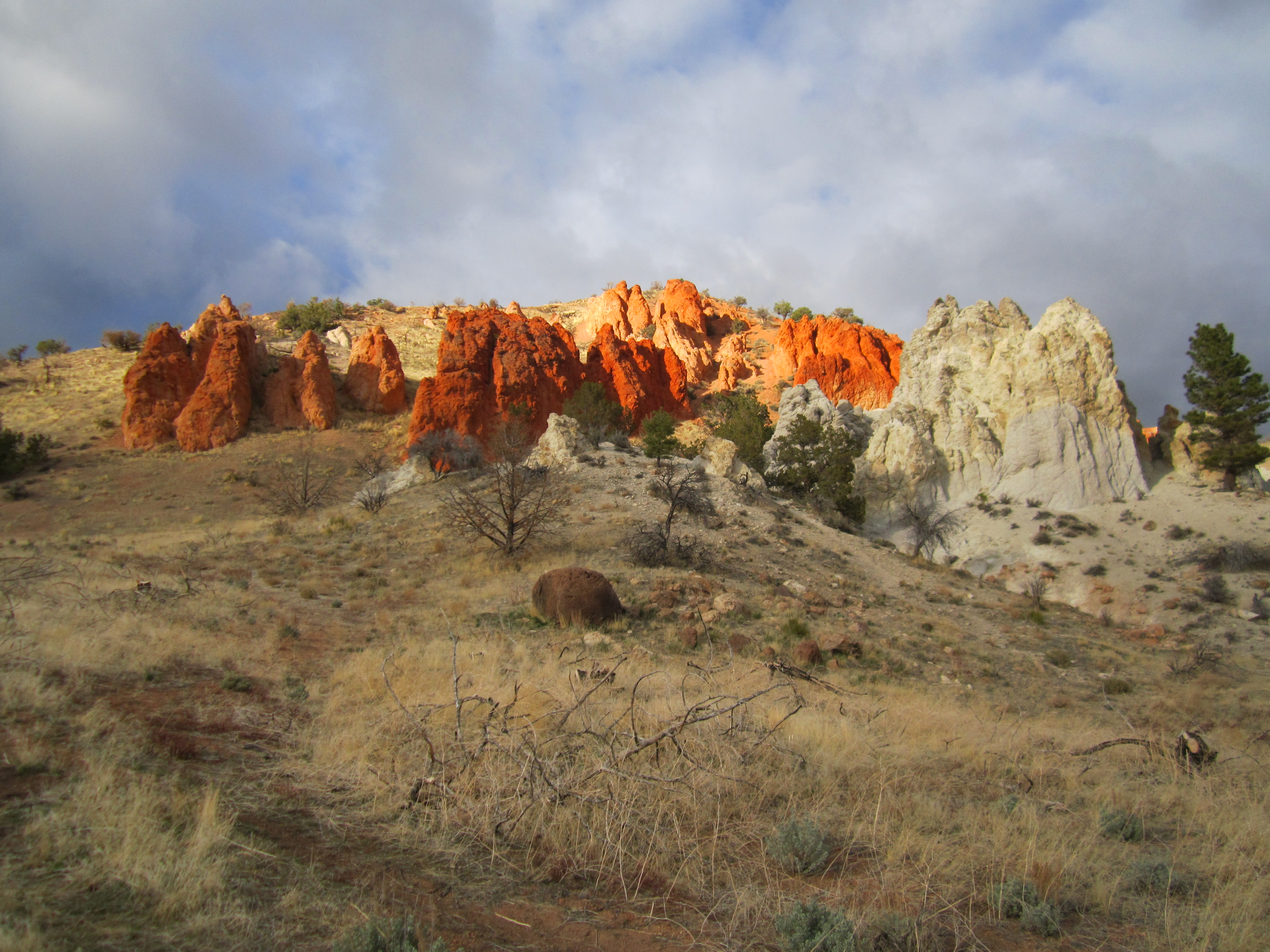
Red Rock
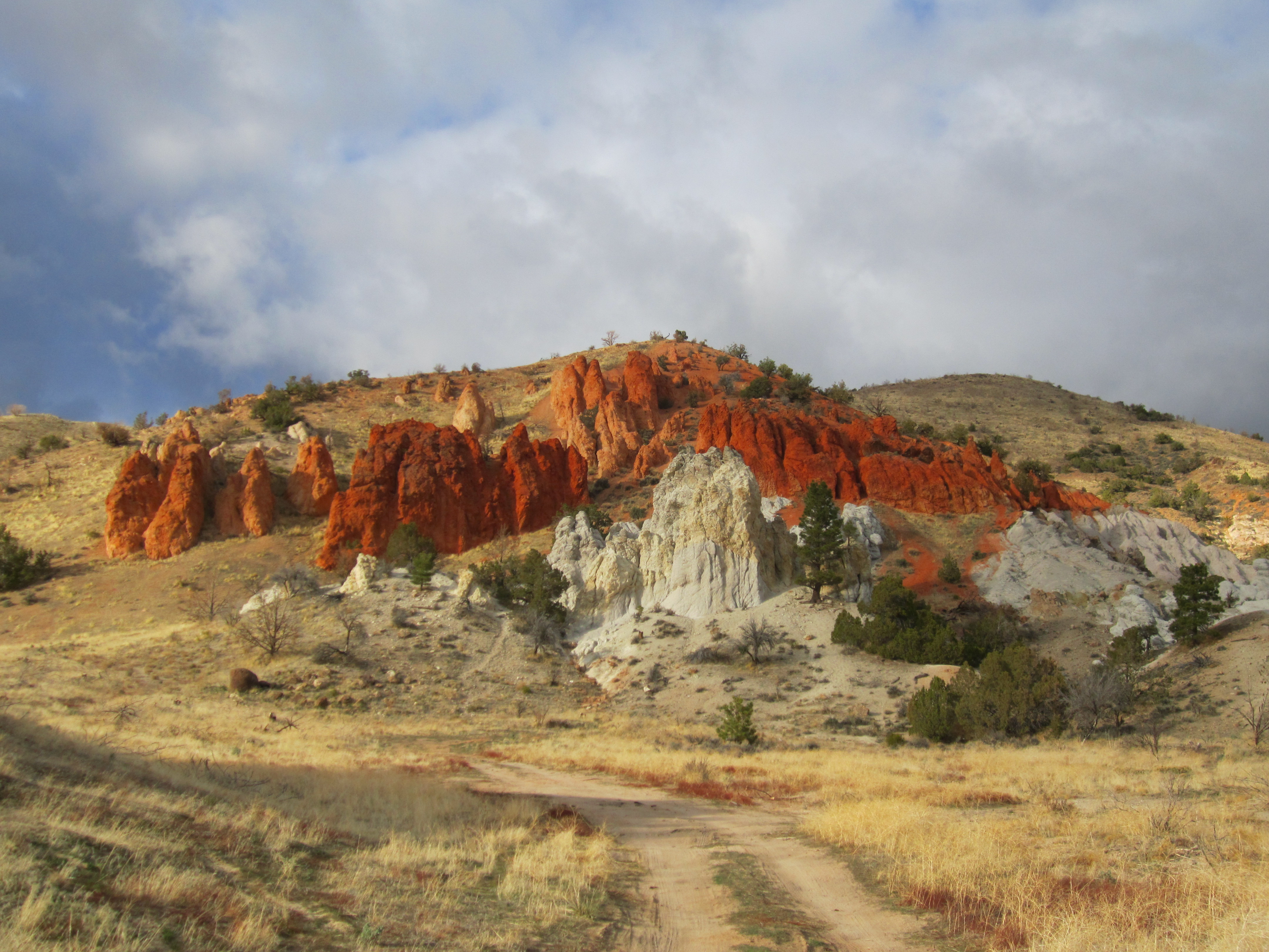
Red Rock

Coral Hairstreak (Satyrium titus)
Meadow near Frenchman's Reservoir, California
Red Rock
there's some rain over there ... glad I'm here
Red Rock Road 360 panorama #3
hill above meadowview

Red Rock Road
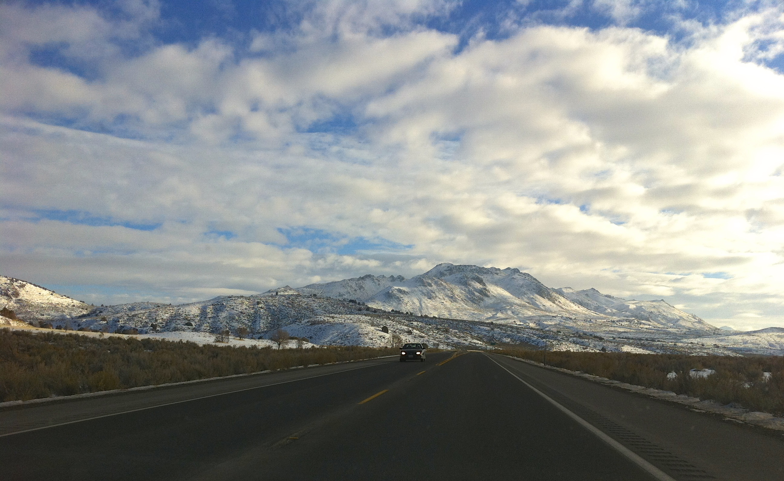
Eastern Sierra
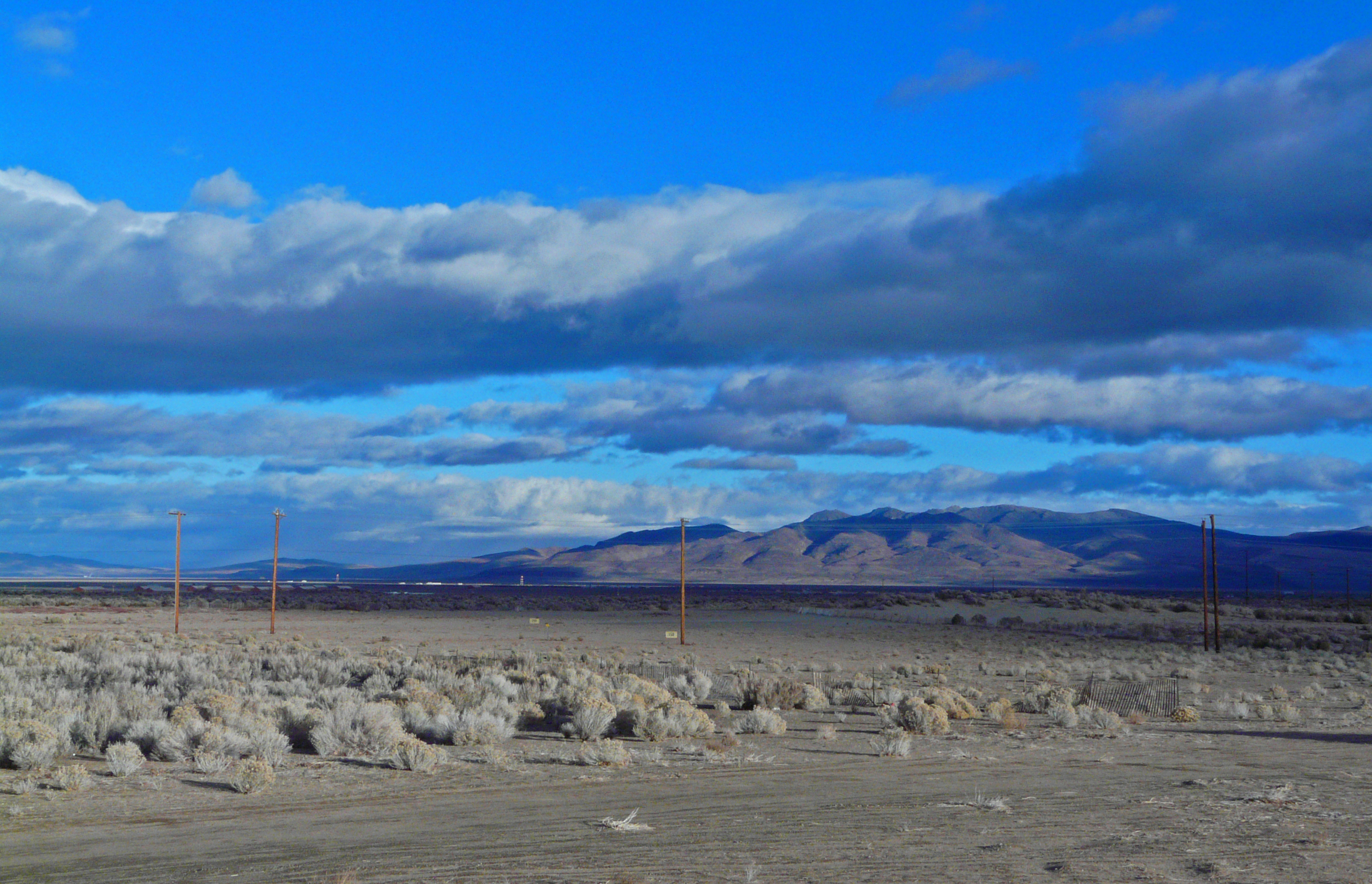
Mile 558 - Looking at Peterson Mountain
Desert Driving Range
downstream of fence
across the fan

AdamsPeak_20091108-135204
artray fan gully
Topographic Map of Doyle, CA, USA
Find elevation by address:

Places in Doyle, CA, USA:
Places near Doyle, CA, USA:
749-855
Adams Peak
Sierra Army Depot
Herlong
Pine St, Susanville, CA, USA
State Line Peak
107 Aspen
107 Aspen St
445-25
670 Appaloosa Cir
21905 Fetlock Dr
Frenchman Lake Road
Dixie Mountain
Chilcoot-vinton
Dixie Lane
Chilcoot
Vinton
Beckwourth Pass
CA-70, Chilcoot, CA, USA
15305 N Red Rock Rd
Recent Searches:
- Elevation of Corso Fratelli Cairoli, 35, Macerata MC, Italy
- Elevation of Tallevast Rd, Sarasota, FL, USA
- Elevation of 4th St E, Sonoma, CA, USA
- Elevation of Black Hollow Rd, Pennsdale, PA, USA
- Elevation of Oakland Ave, Williamsport, PA, USA
- Elevation of Pedrógão Grande, Portugal
- Elevation of Klee Dr, Martinsburg, WV, USA
- Elevation of Via Roma, Pieranica CR, Italy
- Elevation of Tavkvetili Mountain, Georgia
- Elevation of Hartfords Bluff Cir, Mt Pleasant, SC, USA