Elevation of Adams Peak, California, USA
Location: United States > California > Doyle >
Longitude: -120.10020
Latitude: 39.9107378
Elevation: 2470m / 8104feet
Barometric Pressure: 75KPa
Elevation Map:
Satellite Map:
Related Photos:
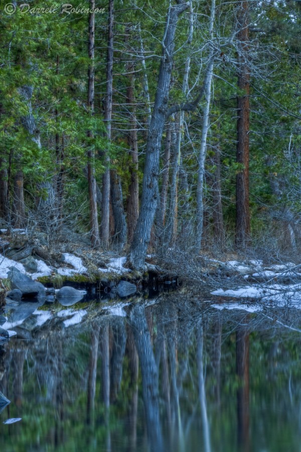
Reflections in Little Last Chance Creek

RedRockPeak_20081130-113738
Topographic Map of Adams Peak, California, USA
Find elevation by address:

Places near Adams Peak, California, USA:
749-855
Frenchman Lake Road
Chilcoot-vinton
Doyle
Beckwourth Pass
CA-70, Chilcoot, CA, USA
Chilcoot
670 Appaloosa Cir
21905 Fetlock Dr
Vinton
Petersen Mountain
State Line Peak
15305 N Red Rock Rd
15100 N Red Rock Rd
55 Horseshoe Cir
60 Horseshoe Cir
Dixie Mountain
3250 Maddalena Rd
Dixie Lane
Reconnaissance Peak
Recent Searches:
- Elevation of Corso Fratelli Cairoli, 35, Macerata MC, Italy
- Elevation of Tallevast Rd, Sarasota, FL, USA
- Elevation of 4th St E, Sonoma, CA, USA
- Elevation of Black Hollow Rd, Pennsdale, PA, USA
- Elevation of Oakland Ave, Williamsport, PA, USA
- Elevation of Pedrógão Grande, Portugal
- Elevation of Klee Dr, Martinsburg, WV, USA
- Elevation of Via Roma, Pieranica CR, Italy
- Elevation of Tavkvetili Mountain, Georgia
- Elevation of Hartfords Bluff Cir, Mt Pleasant, SC, USA