Elevation map of San Luis Obispo County, CA, USA
Location: United States > California >

Longitude: -120.43576

Latitude: 35.3102296

Elevation: 552m / 1811feet

Barometric Pressure: 95KPa

Elevation Map:

elevation map of San Luis Obispo County, CA, USA
Satellite Map:

Satellite map of San Luis Obispo County, CA, USA

Related Photos:

california trees wallpaper sky blackandwhite bw usa white black tree art texture nature leaves clouds photoshop canon landscape eos blackwhite leaf oak country ngc creative calif textures cal lopez oaks canoneos unforgettable hdr oaktrees blackdiamond digitalphotography edges obispo sanluisobispocounty lopezlake blueribbonwinner photomatix vividimagination dfine creativephotography photomatixpro lopezcanyon justimagine cs5 efex colorefexpro niksoftware creativedigitalphotography flickraward tonalcontrast theunforgettablepictures creativepostprocessing dfine20 expessionism gününeniyisithebestofday silverefexpro extraordinarilyimpressive colorefexpro4 imageborders magicmomentsinyourlifelevel1 photomatix425 upperlopezcanyonroad
Beauty Will Come
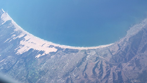
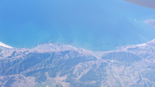
Just amazing aerial views...
lightpainting night creston
Nine Miles from No-Where
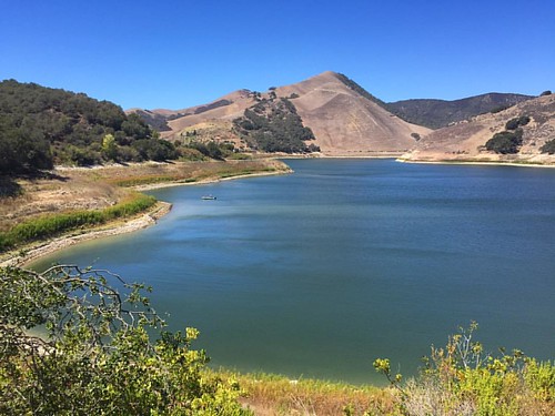
Lopez View From my Car 23
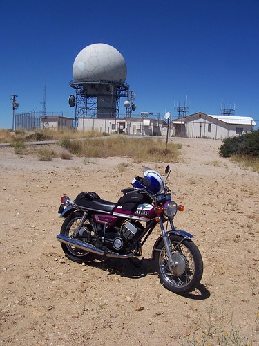
california ball sphere motorcycle yamaha 1970 blackmountain sanluisobispo r5 radiofacility
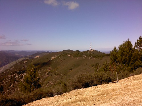
At the top of Black Mountain, San Luis Obispo County, CA - 8/2/2009
ranch hiddensprings ranchhouse karlsbad karlschultz
Bath With A View, 2008.09.12
Tyrannus verticalis
california ca trees sky panorama mountain lake reflection nature water photoshop dock hiking ripple sony cybershot hike trail elements ripples centralcoast slo sanluisobispo photoshopelements santamargaritalake sonydsct700 blinnranch
Santa Margarita Lake, California
california ball sphere motorcycle yamaha 1970 blackmountain sanluisobispo r5 radiofacility
At the top of Black Mountain, San Luis Obispo County, CA - 8/2/2009
lospadresnationalforest
2012-04-09 Rinconada Tr hike-25_edited-1
california unitedstates santamargarita garciawilderness garciaridgetrail
2013-03-16 Trout Creek hike-29_edited-1
lospadresnationalforest
2012-04-09 Rinconada Tr hike-13_edited-1
lospadresnationalforest
2012-04-09 RInconada Tr hike-33_edited-1
Shawn At The Summit
lospadresnationalforest
2012-04-09 Rinconada Tr hike-23_edited-1
california unitedstates arroyogrande santaluciawilderness 39944014upperlopezcanyonroad
2015-05-25 Big Falls hike-30_edited-1
square squareformat earlybird iphoneography instagramapp uploaded:by=instagram foursquare:venue=4bd33e5e462cb71307eddd07
#winefest
blue light sky blackandwhite cloud lake cold water monochrome fog clouds reflections dark pier wooden moody peace health serenity margarita patty 2011 santamargaritalake monochromish elizabethhaslam skywatersanta lakesunriseegretpiercaliforniaelizabeth haslamreflectionscloudsfog
Steve's Pier
Weekend In Pismo Beach
Dune Tree
Cries in the Canyon
california nature landscape outdoors hiking trail sanluisobispo
Grey Pine Trail
DCIM21[N3530854W12060005T3E418394H032040]
california nature landscape outdoors hiking trail sanluisobispo
Grey Pine Trail, Santa Margarita Lake Park
DCIM16[N3531858W12060296T3E416D37H02F4A3]
california unitedstates santamargarita garciawilderness garciaridgetrail
2014-09-07 Balm of Gilead hike-26_edited-1
square squareformat rise iphoneography instagramapp uploaded:by=instagram foursquare:venue=4eb5bc0d775b544c2770d499
If I HAVE to exercise, I s'pose this is a good place for it... #cycling
Unchanged Forever
Santa Cruz?
square squareformat iphoneography instagramapp uploaded:by=instagram
Low pez
california red color green nature beautiful reflections landscape outdoors stream beds unique bridges landmarks scene rivers streams algae californiadreaming
RINCONADA BRIDGE
DCIM22[N3530854W12060006T3E4183B2H03206D]
clouds rural landscape rust decay rustyjunk pozoroad
Tin Can
sunset lake hdr
Lake Sunset
california nature landscape outdoors hiking trail sanluisobispo
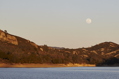
MoonOverSMLake-258
california sky bw cloud lake nature march santamargarita
Santa Margarita Lake 2