Elevation of West Cuesta Ridge Trailhead, Santa Margarita, CA, USA
Location: United States > California > San Luis Obispo County > San Luis Obispo >
Longitude: -120.62999
Latitude: 35.3471906
Elevation: 452m / 1483feet
Barometric Pressure: 96KPa
Elevation Map:
Satellite Map:
Related Photos:
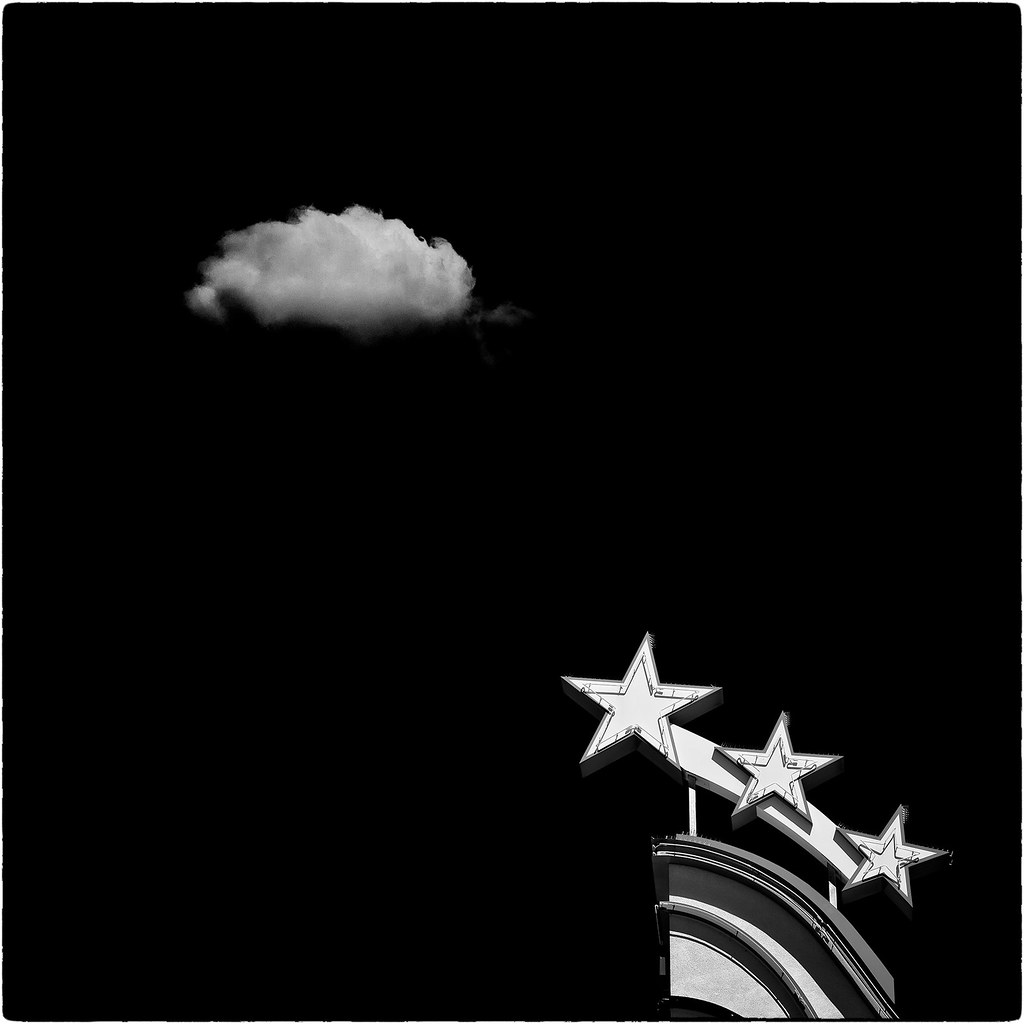
Galaxy (Explored)

Bishops peak from the Coast Starlight
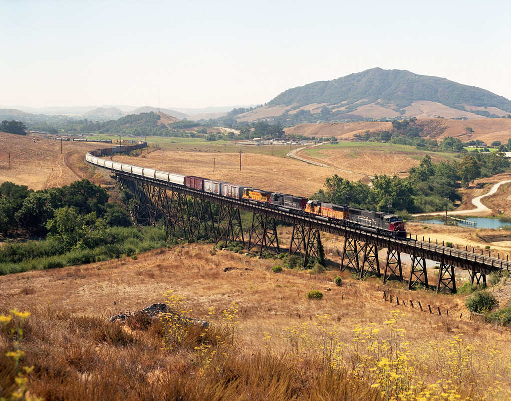
SP 9800 north crosses Stenner Creek Trestle as it starts the climb of Cuesta Grade
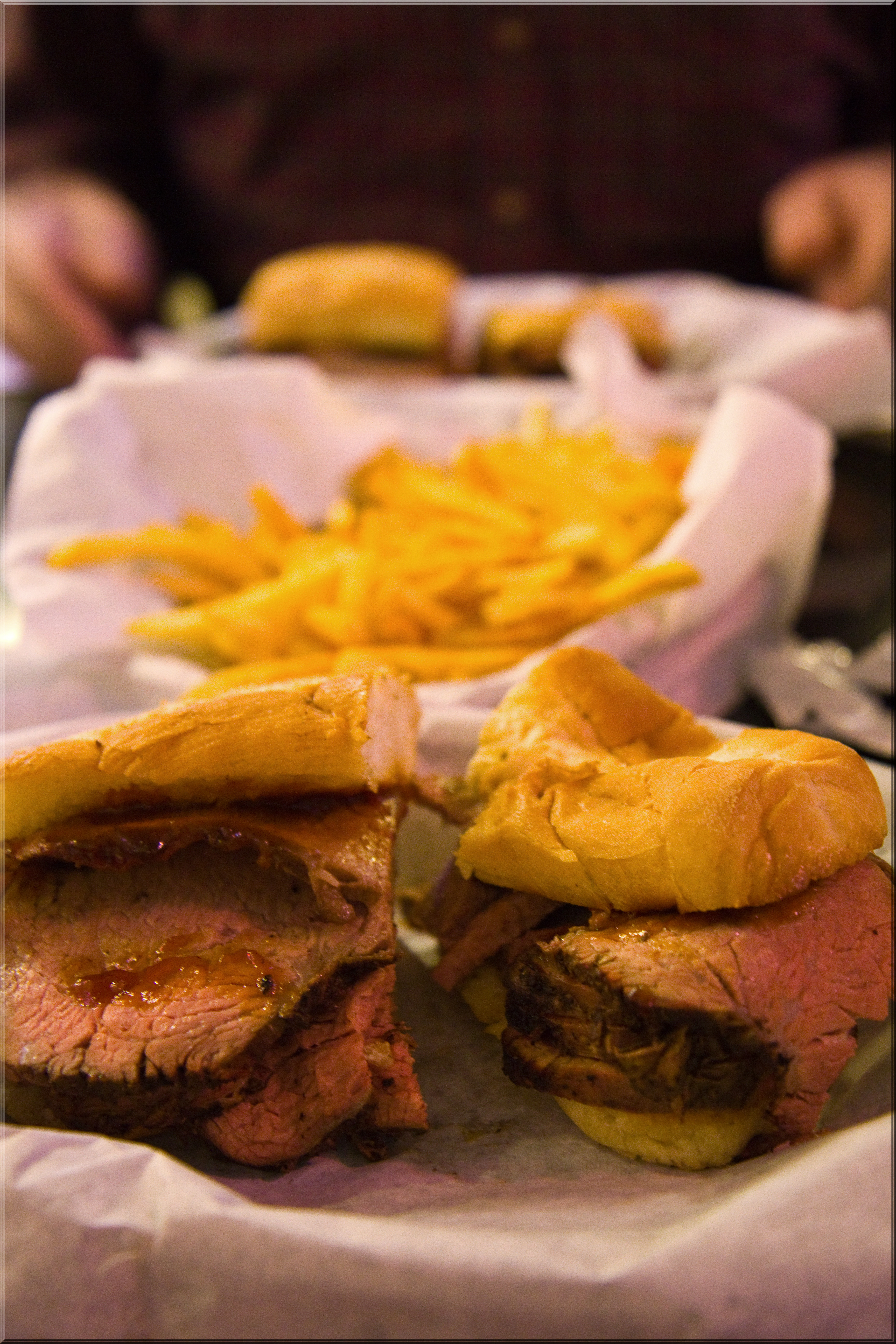
Best TriTip Sandwich in the State
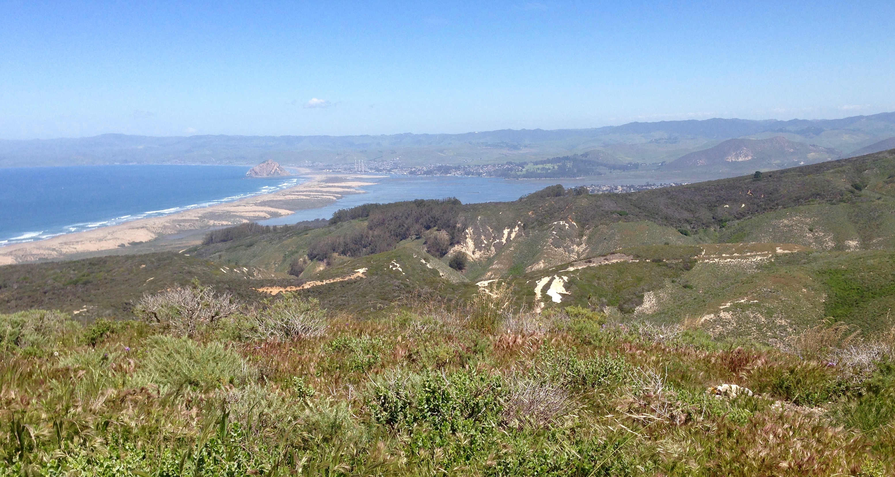
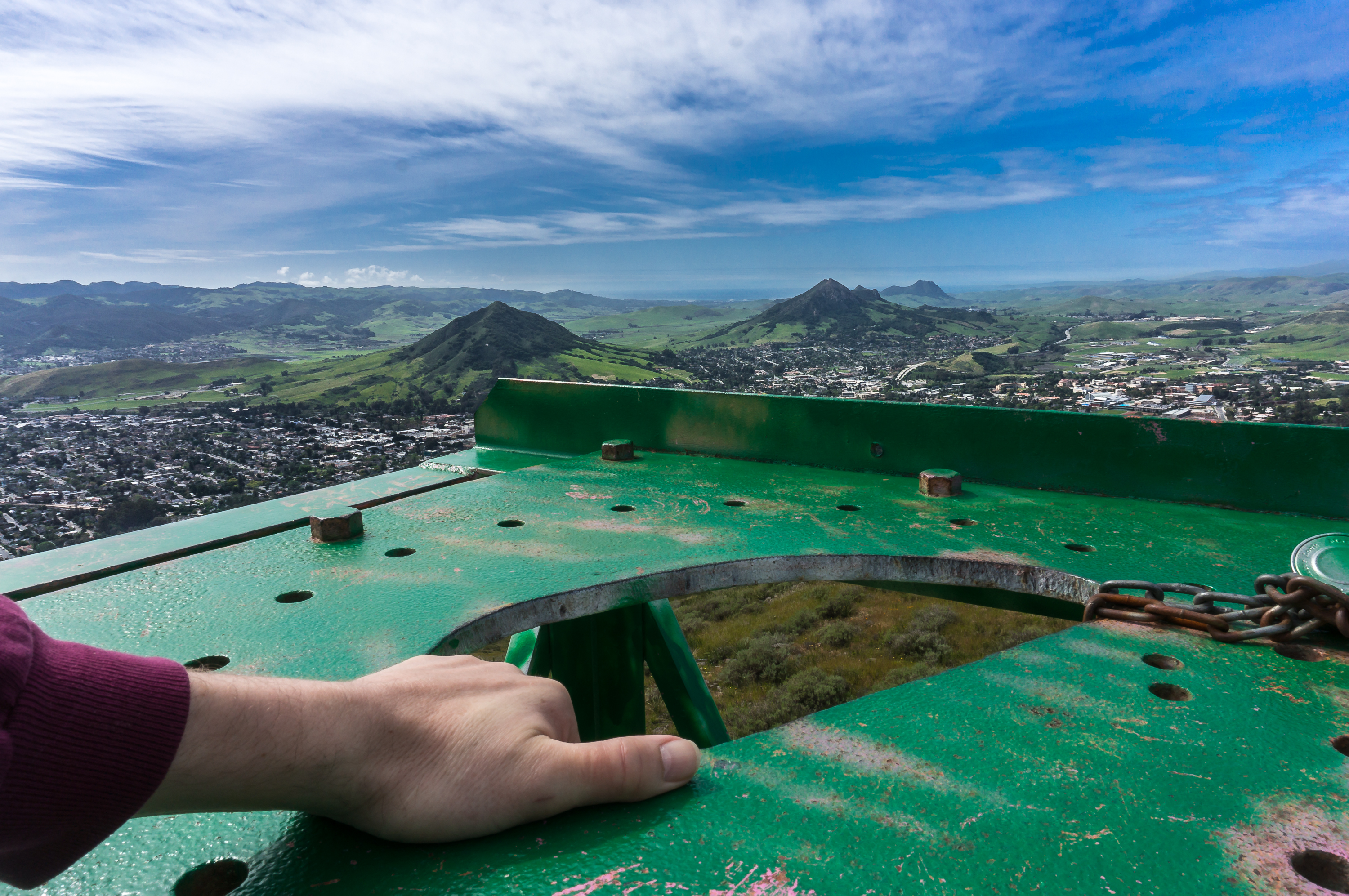
View from Hazard Peak

Performing Arts Center, California Polytechnic State University
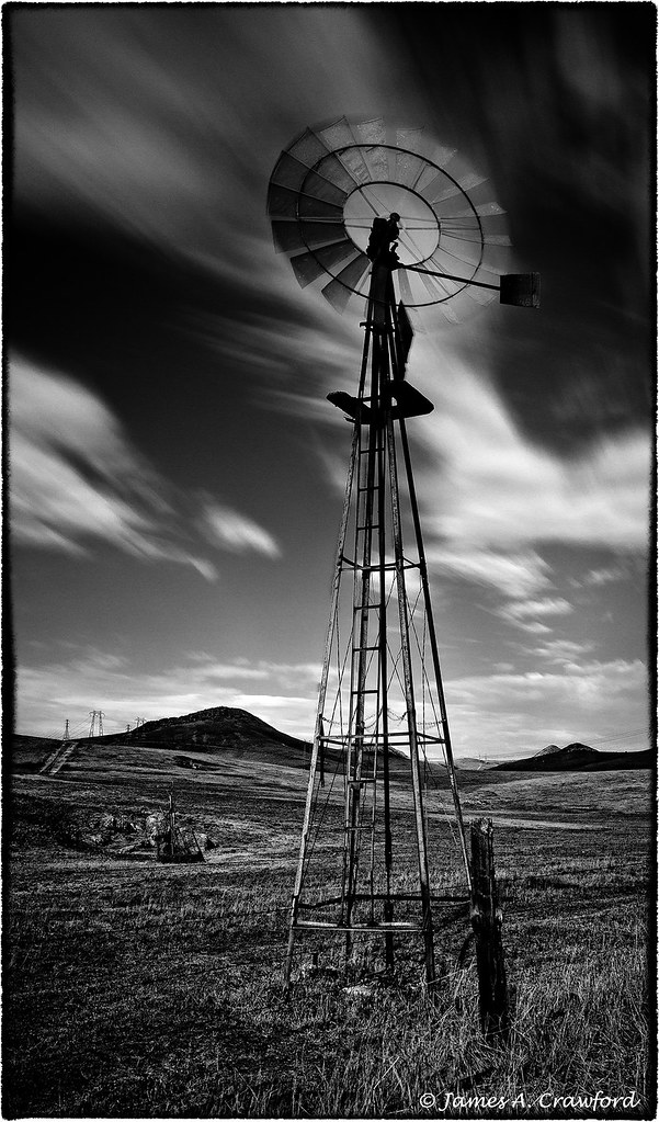
The Wind in My Sails, The Sky at My Back

Sweet Peas
Reservoir Canyon, San Luis Obispo, CA
Terrace Hill from South Hill, morning fog
Reservoir Canyon, San Luis Obispo, CA
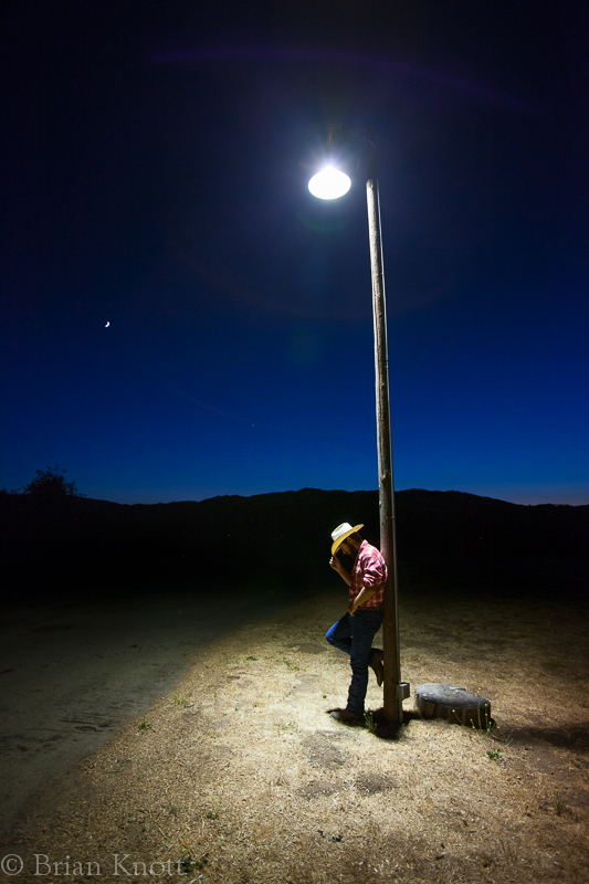
Cowboy and Moon
Bell Tower, Reservoir Canyon, San Luis Obispo, CA
Reservoir Canyon, San Luis Obispo, CA
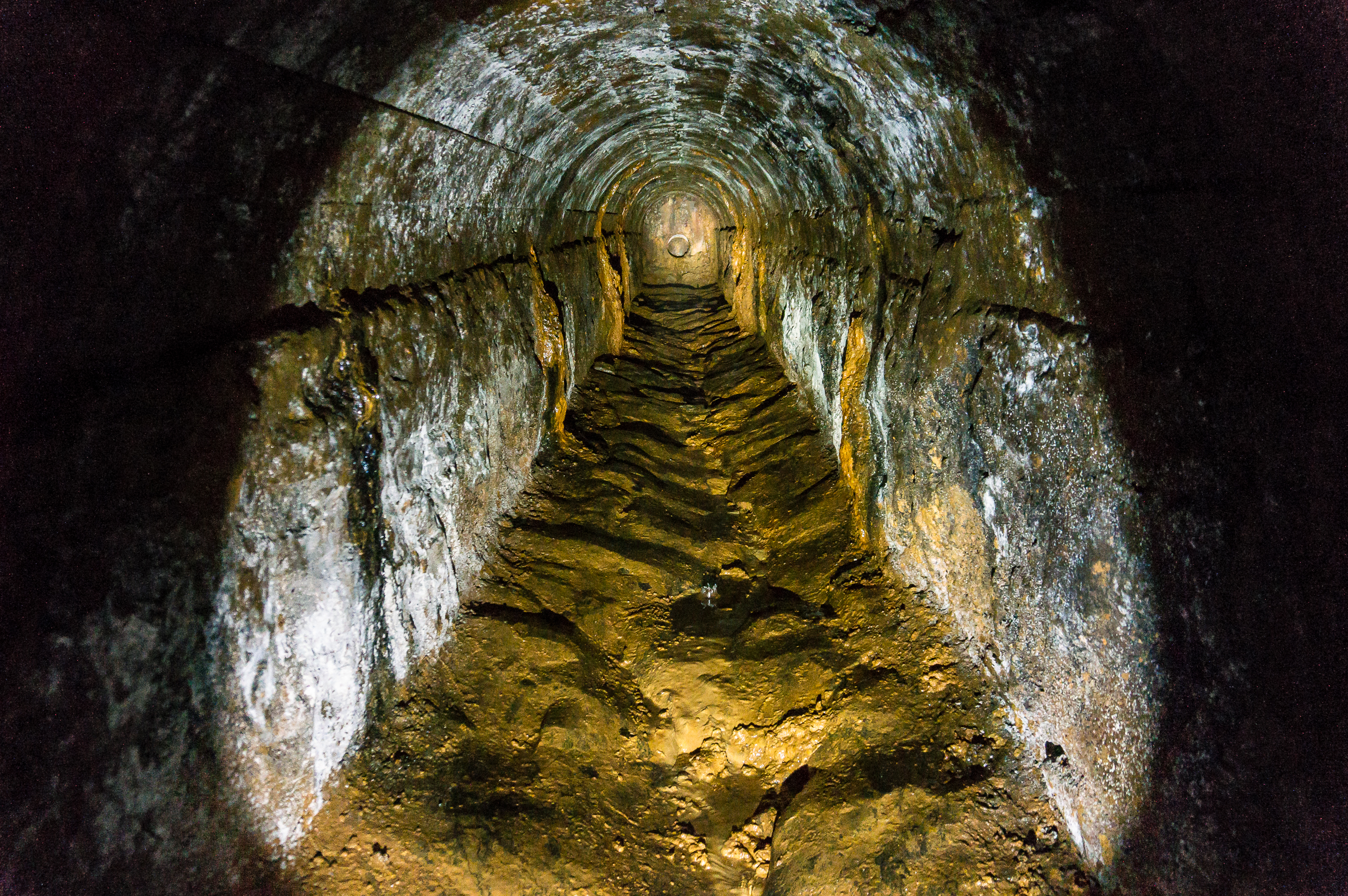
Waterfall Aquaduct, Reservoir Canyon, San Luis Obispo, CA
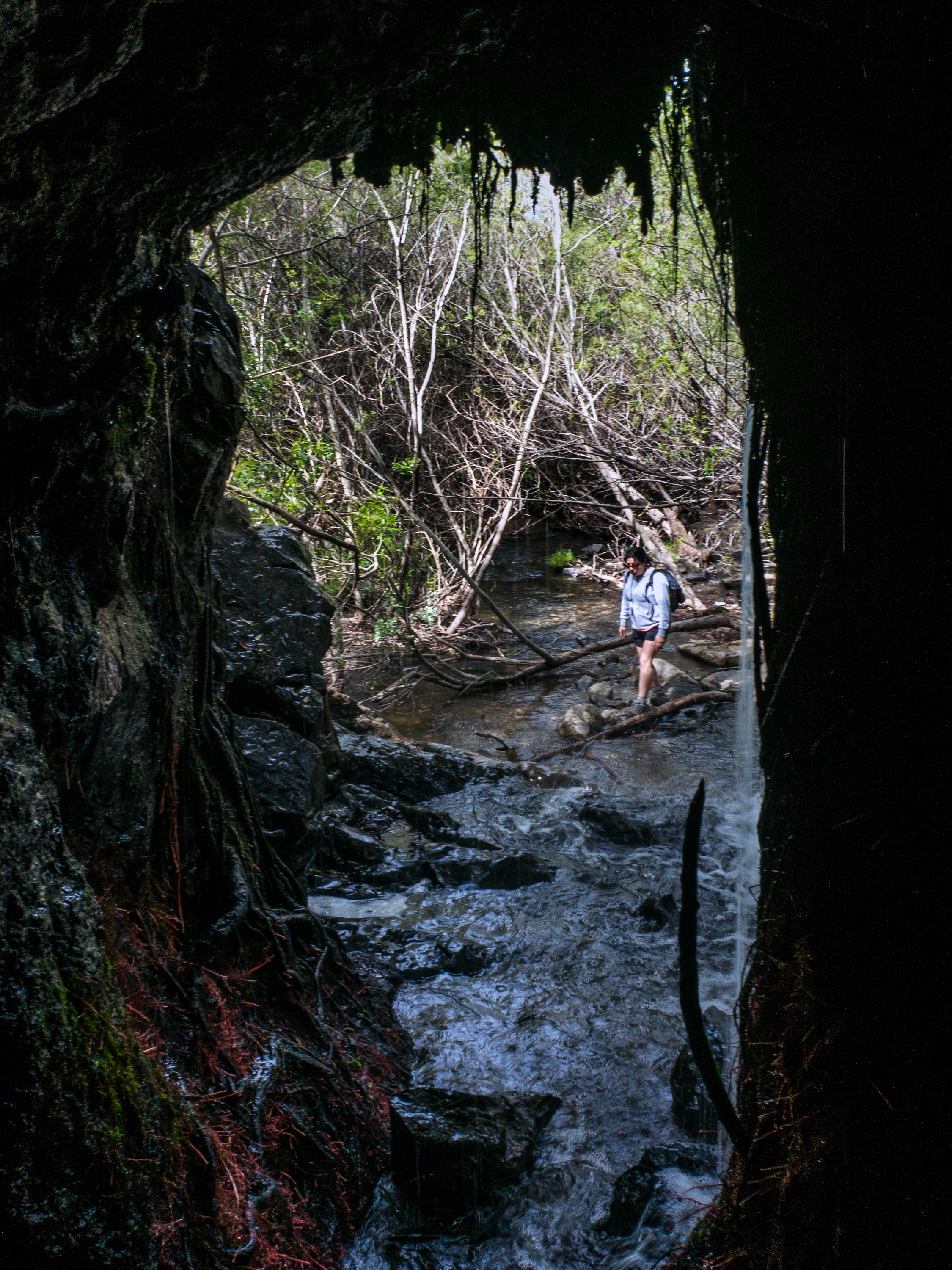
Waterfall Cave, Reservoir Canyon, San Luis Obispo, CA

The Tree is Easier to See Than the Roots

RULE, BRITANNIA
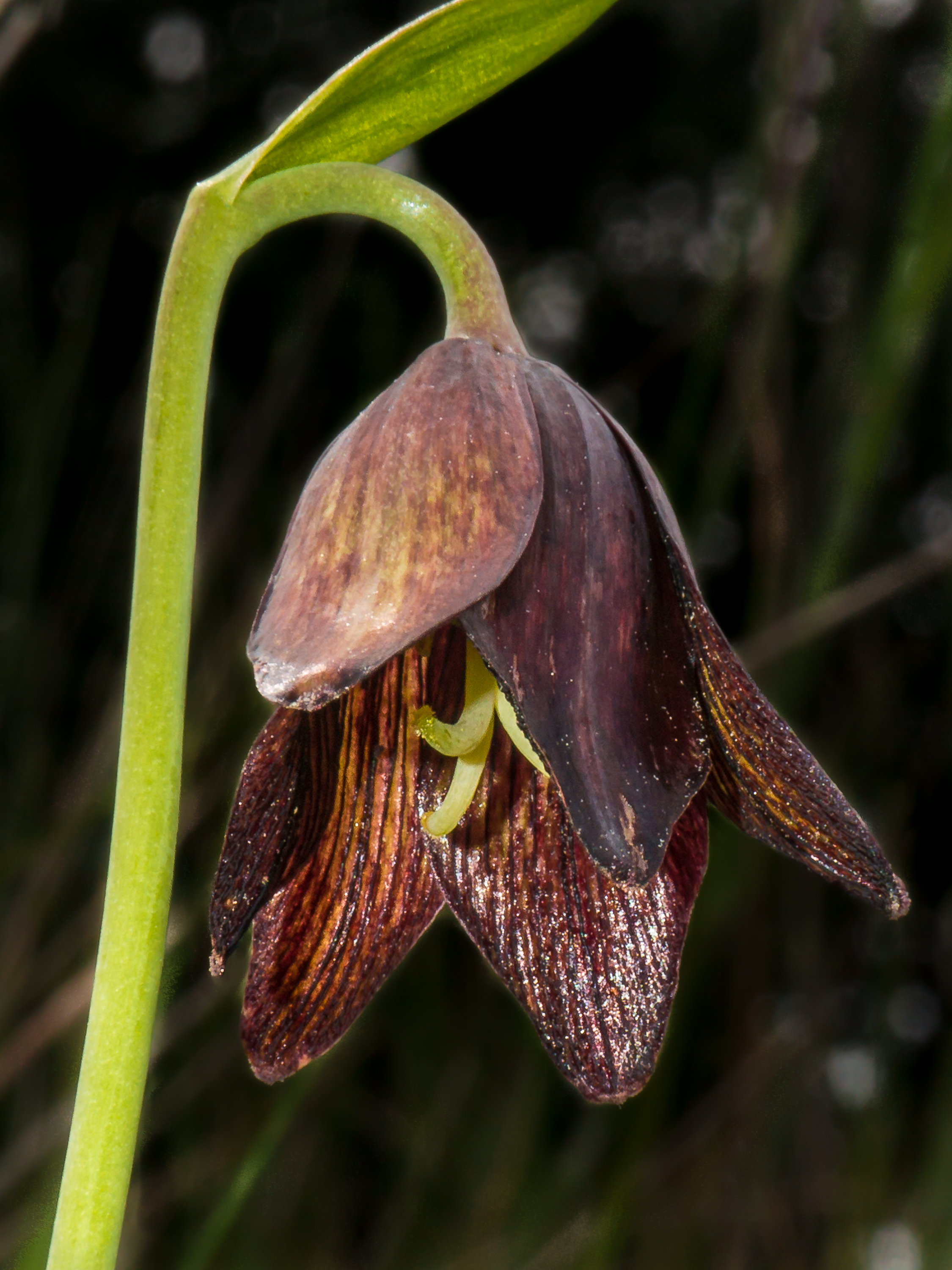
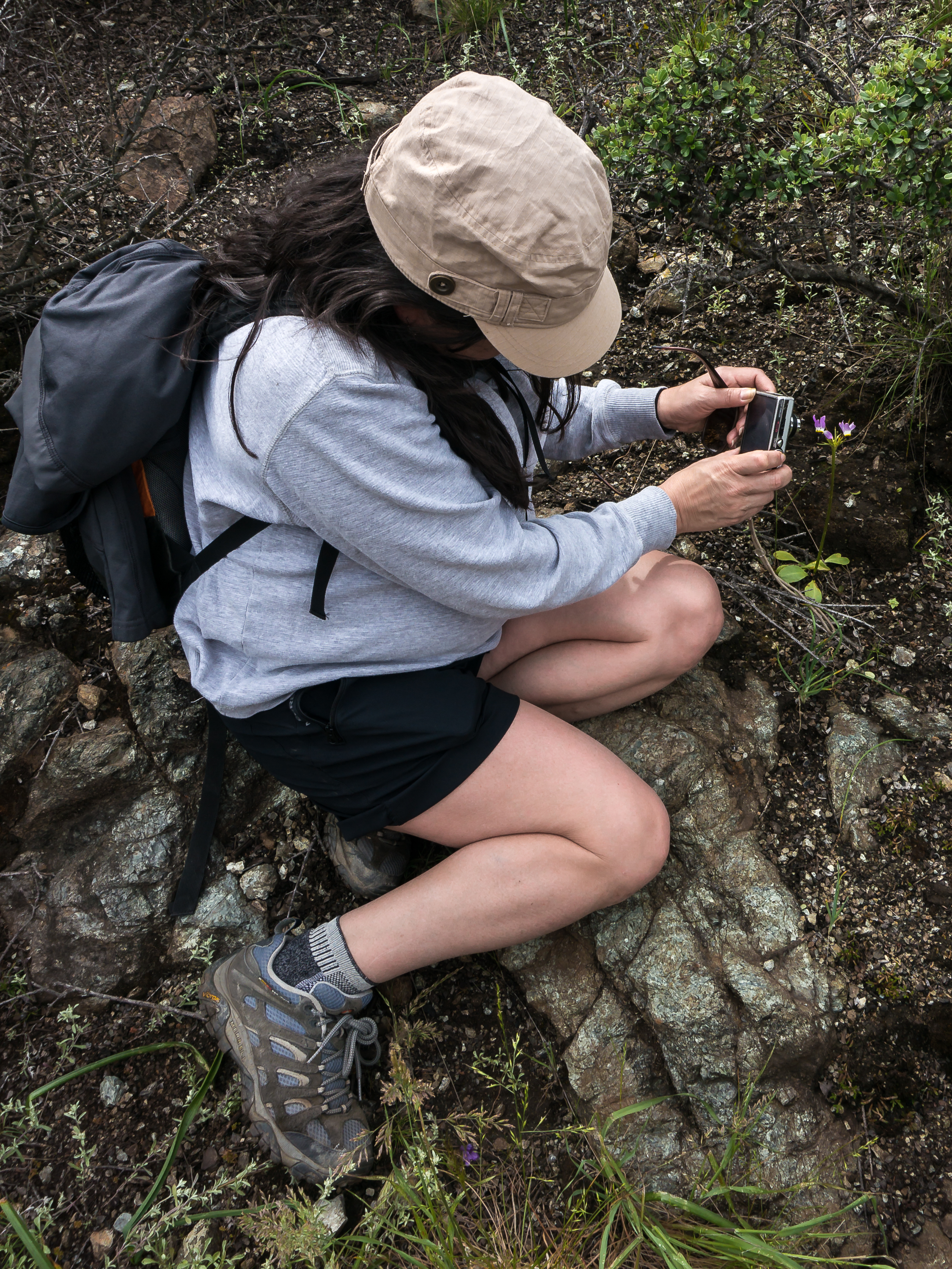
Chocolate Lily, Reservoir Canyon, San Luis Obispo, CA
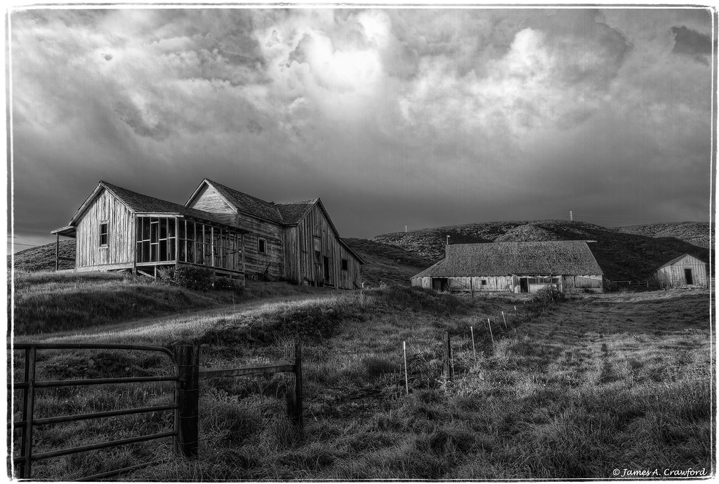
Froom-Ranch

Green Grapes at Mid August

Fall Vineyards

FIELD OF DREAMS

Edna Valley Patchwork
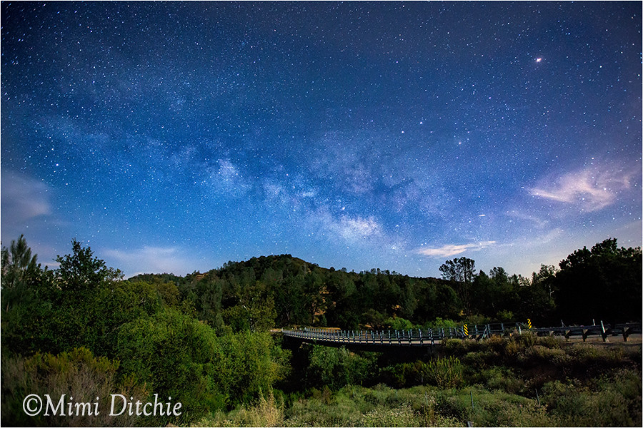
The Milky Way and Moonlight
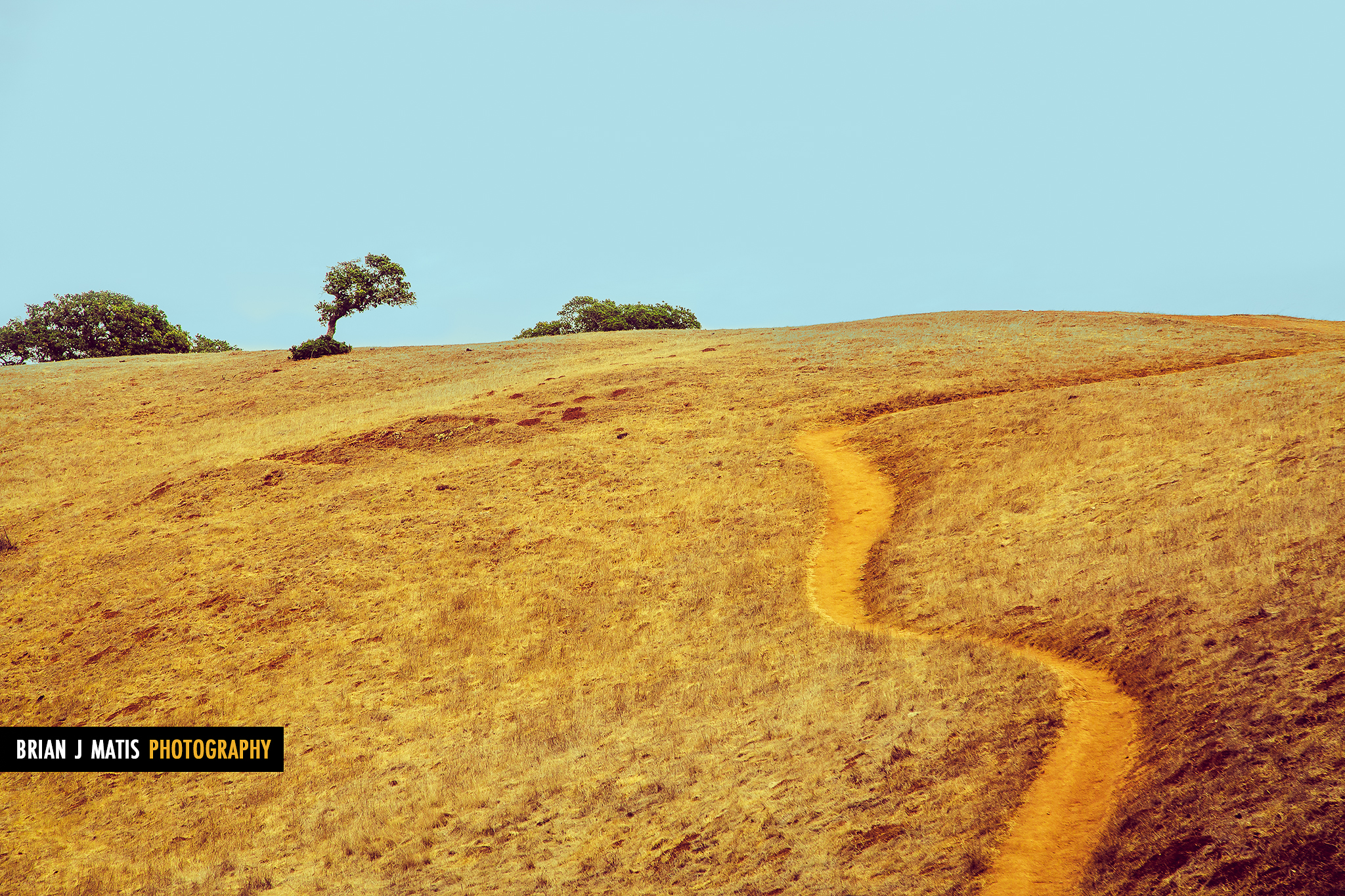
hillside path [Day 3604]

technicolor hills [Day 3432]

Flower Power

Pretty, wispy clouds. #clouds #sky

Reservoir Falls III
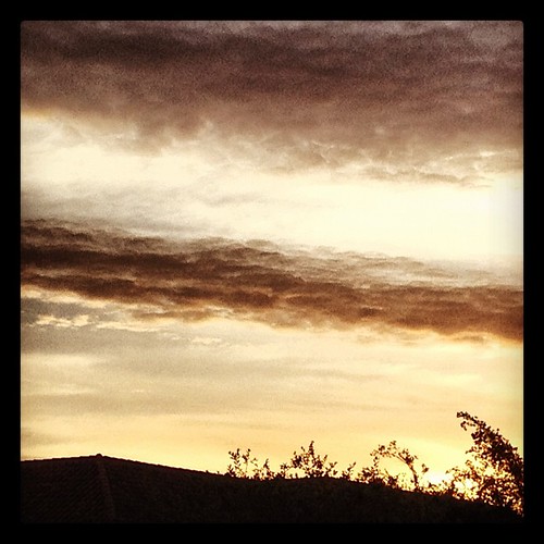
14. Some clouds for #marchphotoaday

Misty Morning
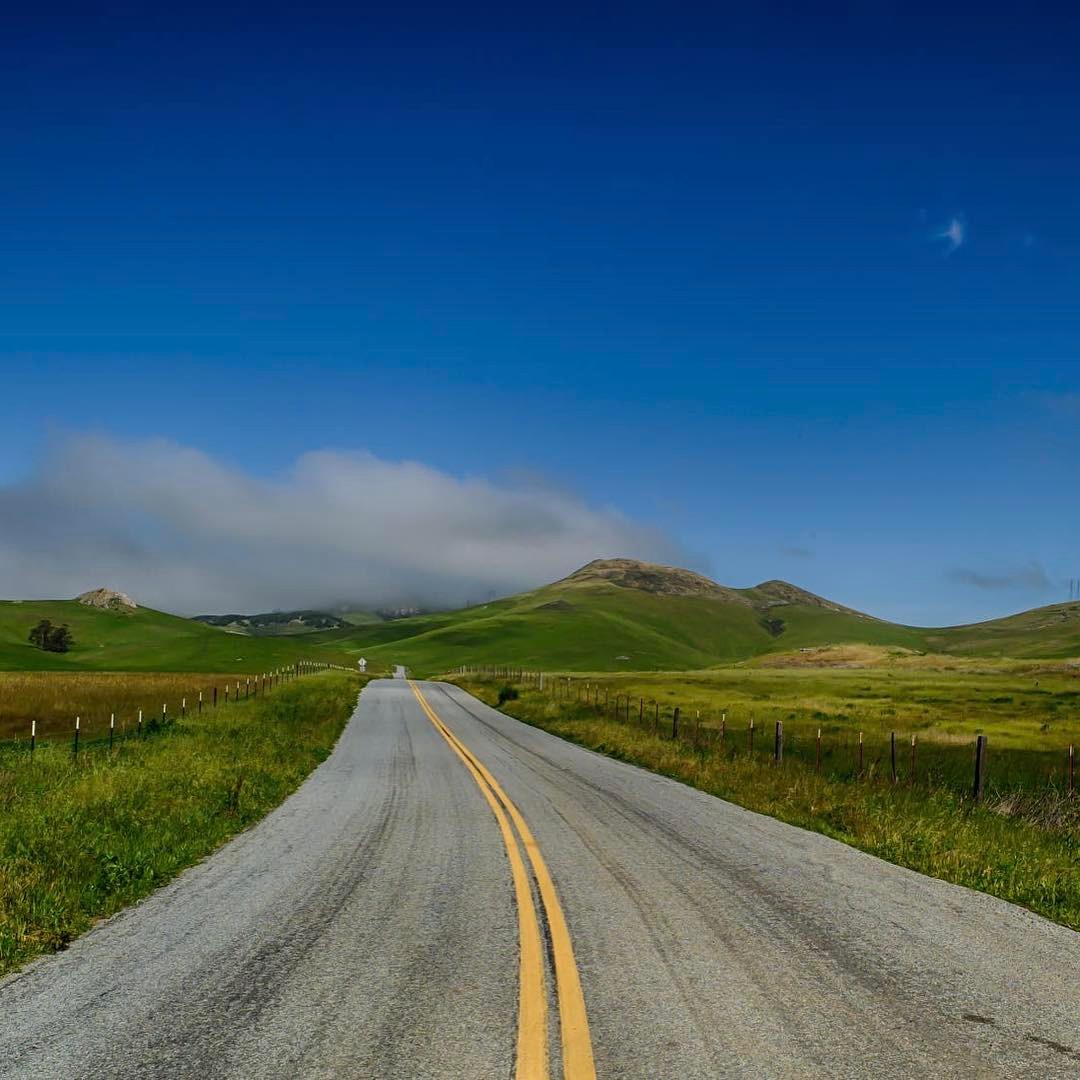
A Sunday drive on Turri Rd.

Turri Road Scenes
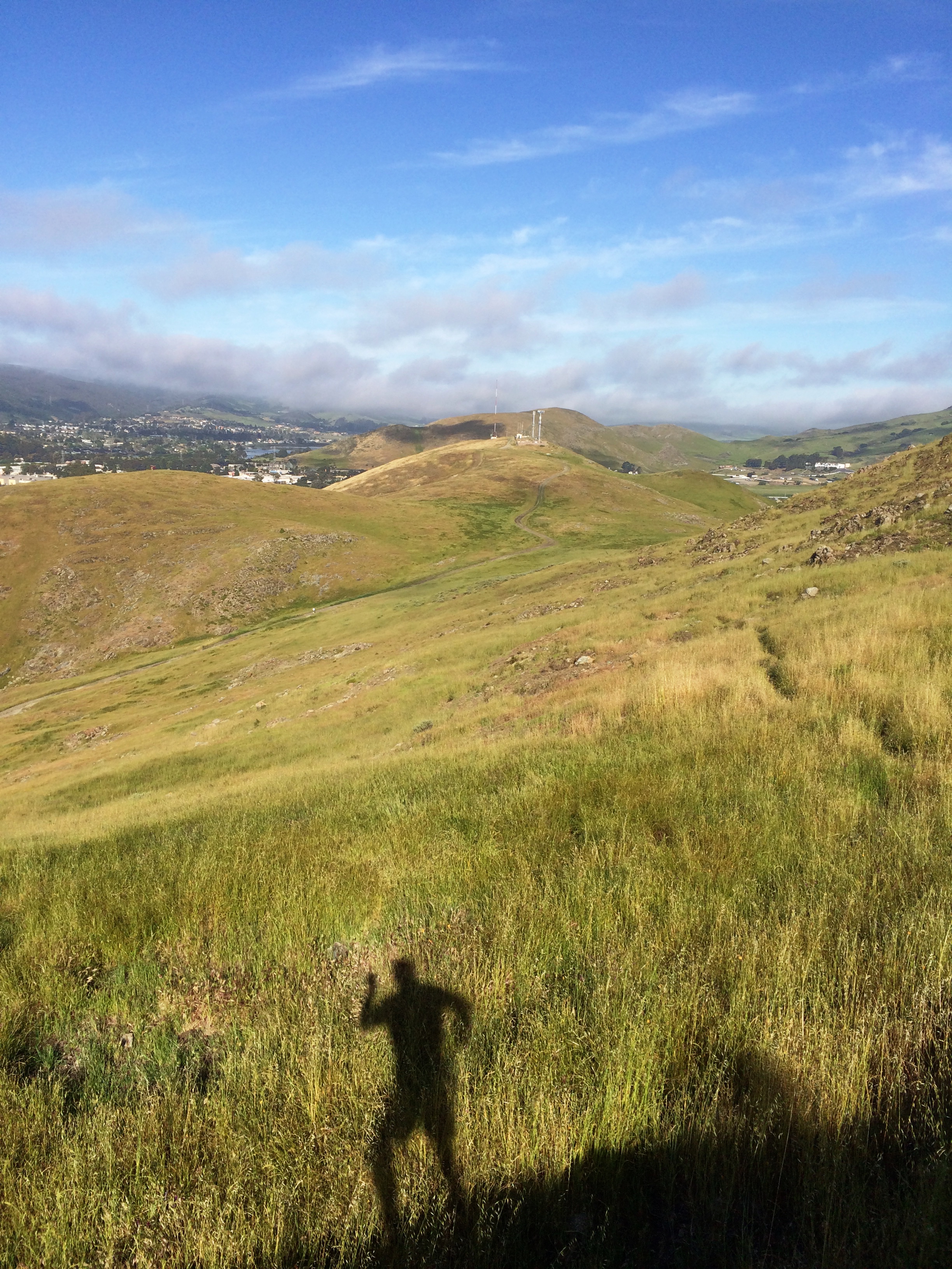
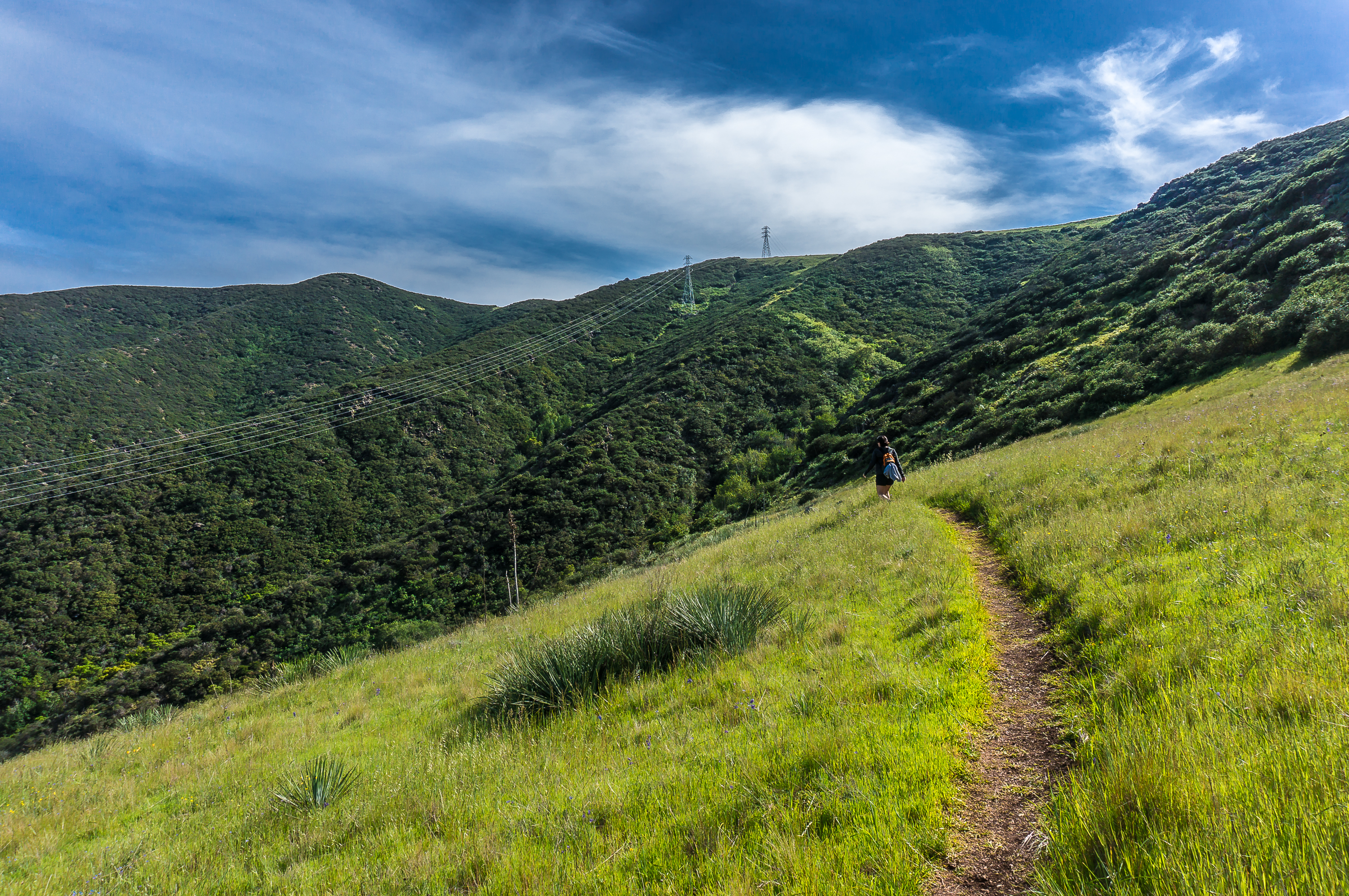
Hiking SLO
Today's #photoadaymay is Skyline. Got a pretty nice sunset & clouds in there, too!

Reservoir Falls IV
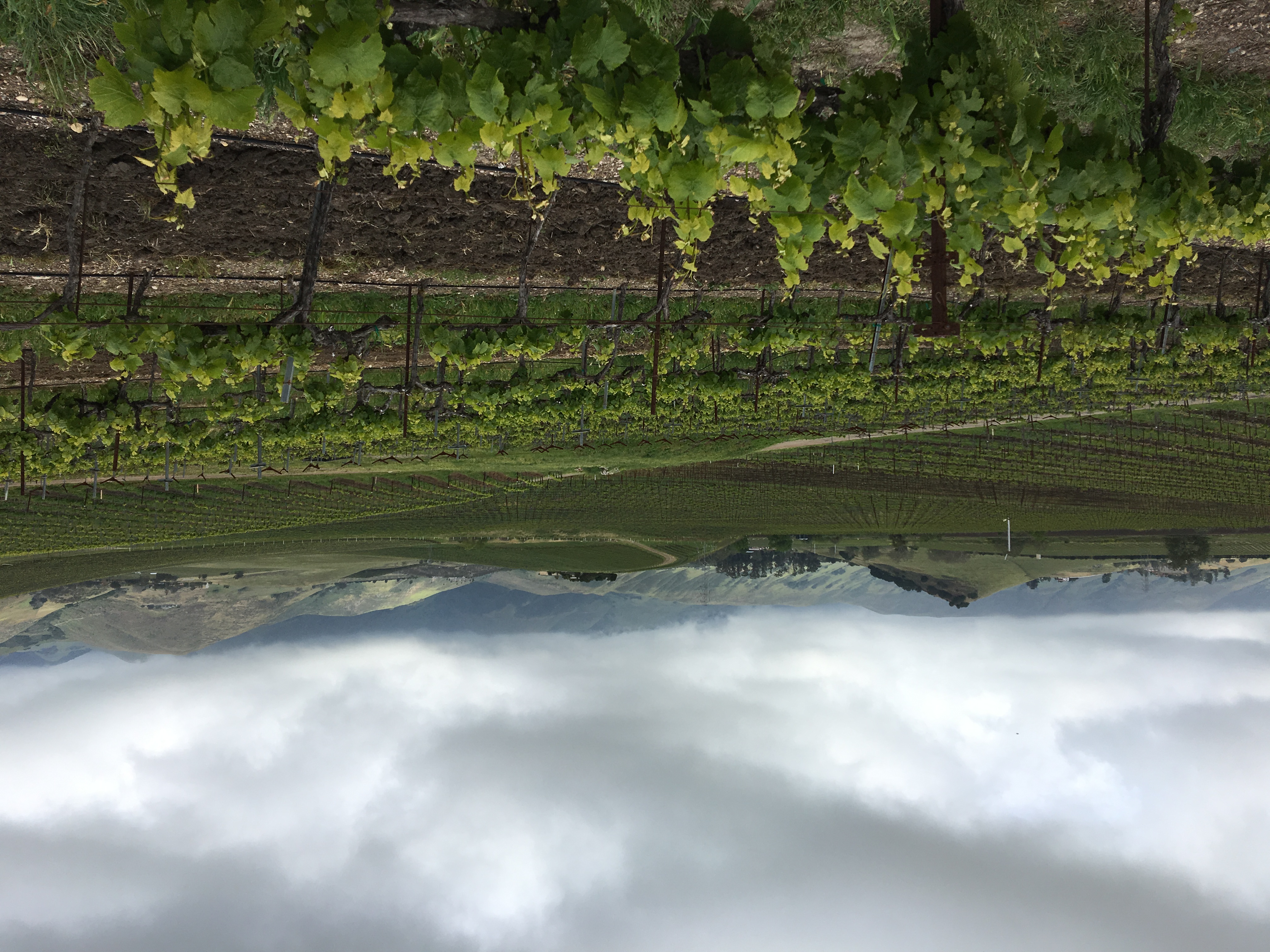
102/365: Acres of Grapes
Topographic Map of West Cuesta Ridge Trailhead, Santa Margarita, CA, USA
Find elevation by address:

Places near West Cuesta Ridge Trailhead, Santa Margarita, CA, USA:
Old Stage Coach Rd, San Luis Obispo, CA, USA
Santa Margarita
H St, Atascadero, CA, USA
Walnut Ave, Atascadero, CA, USA
14400 Sandoval Rd
Santa Barbara Rd, Atascadero, CA, USA
11675 Atascadero Rd
8127 Castenada Ln
Frog Pond Mountain
10030 San Marcos Rd
Robert Emmet Way
Rocky Canyon Trail
Smiley Place
7460 Valle Ave
Lala Lane
Curbaril Ave, Atascadero, CA, USA
Thornton Court
Mary Austin Lane
Atascadero
Cenegal Road
Recent Searches:
- Elevation of Corso Fratelli Cairoli, 35, Macerata MC, Italy
- Elevation of Tallevast Rd, Sarasota, FL, USA
- Elevation of 4th St E, Sonoma, CA, USA
- Elevation of Black Hollow Rd, Pennsdale, PA, USA
- Elevation of Oakland Ave, Williamsport, PA, USA
- Elevation of Pedrógão Grande, Portugal
- Elevation of Klee Dr, Martinsburg, WV, USA
- Elevation of Via Roma, Pieranica CR, Italy
- Elevation of Tavkvetili Mountain, Georgia
- Elevation of Hartfords Bluff Cir, Mt Pleasant, SC, USA