Elevation map of Shasta County, CA, USA
Location: United States > California >
Longitude: -121.84744
Latitude: 40.7908864
Elevation: 1445m / 4741feet
Barometric Pressure: 85KPa
Elevation Map:
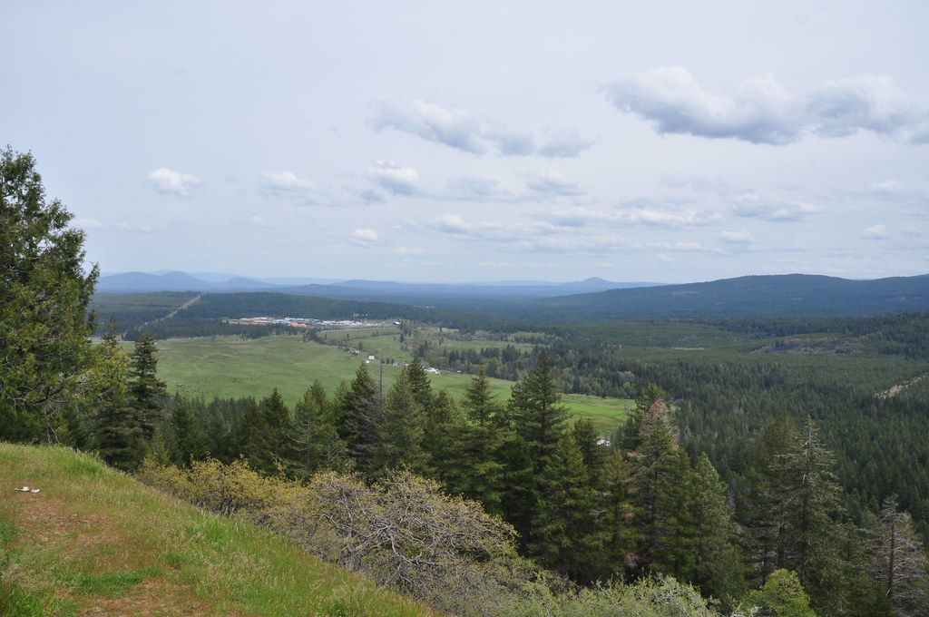
Satellite Map:
Related Photos:

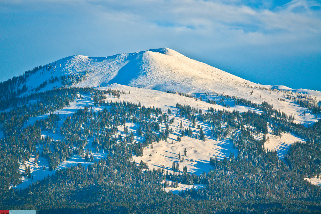
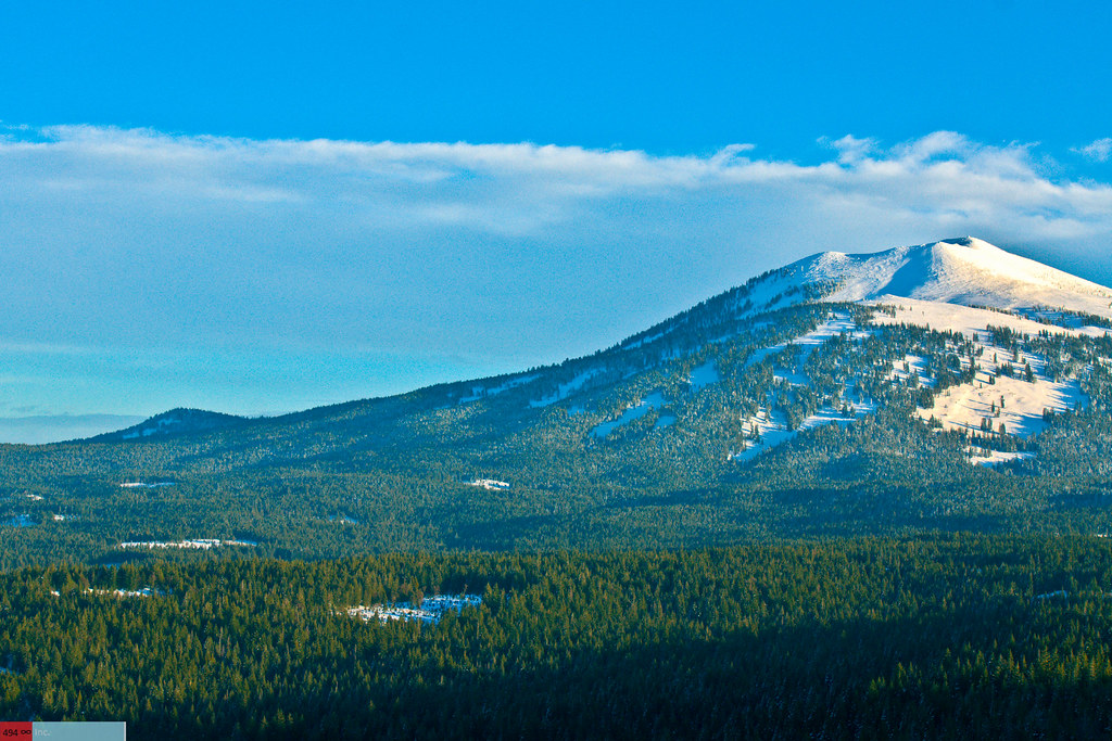
Burney Mountain [03.30.13]
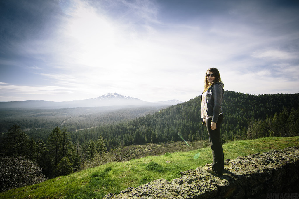
Megan & Burney Mountain [03.30.13]
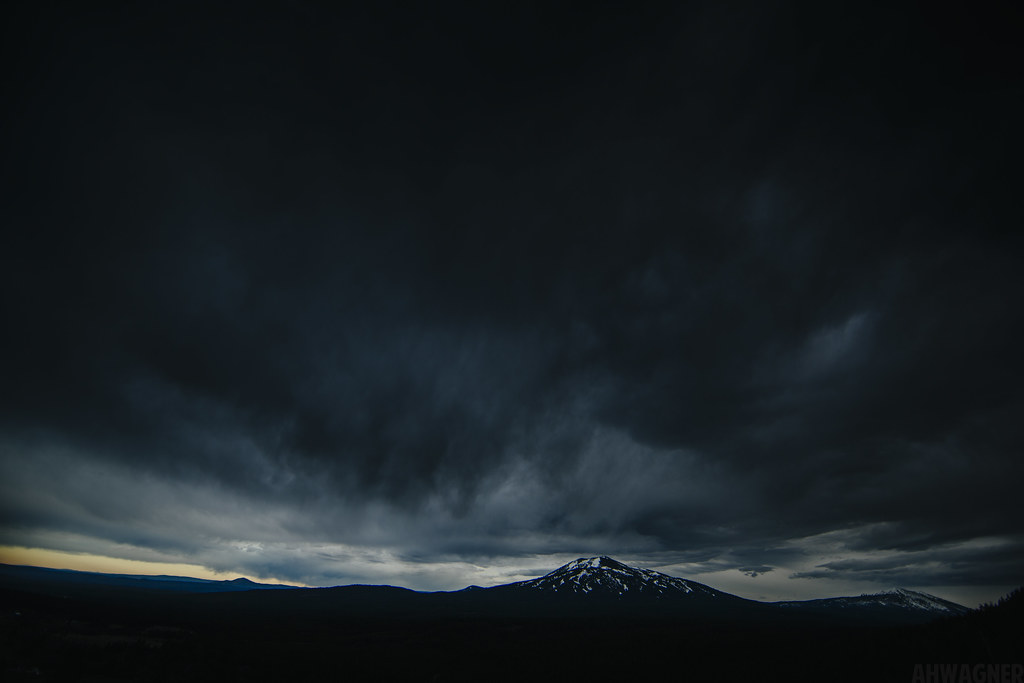
Night at Burney Mountain [03.30.13]
Burney Mountain [03.30.13]
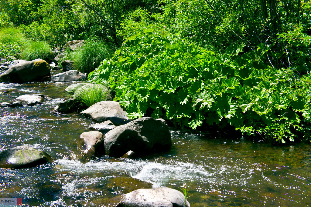
The Creek (Part 2)
Sleep Walk

Fountain Fire Vista Point [03.30.13]

Fairytale Land [03.30.13]
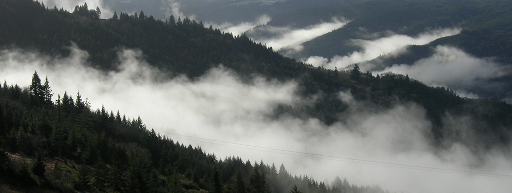
GROUND FOG BEYOND
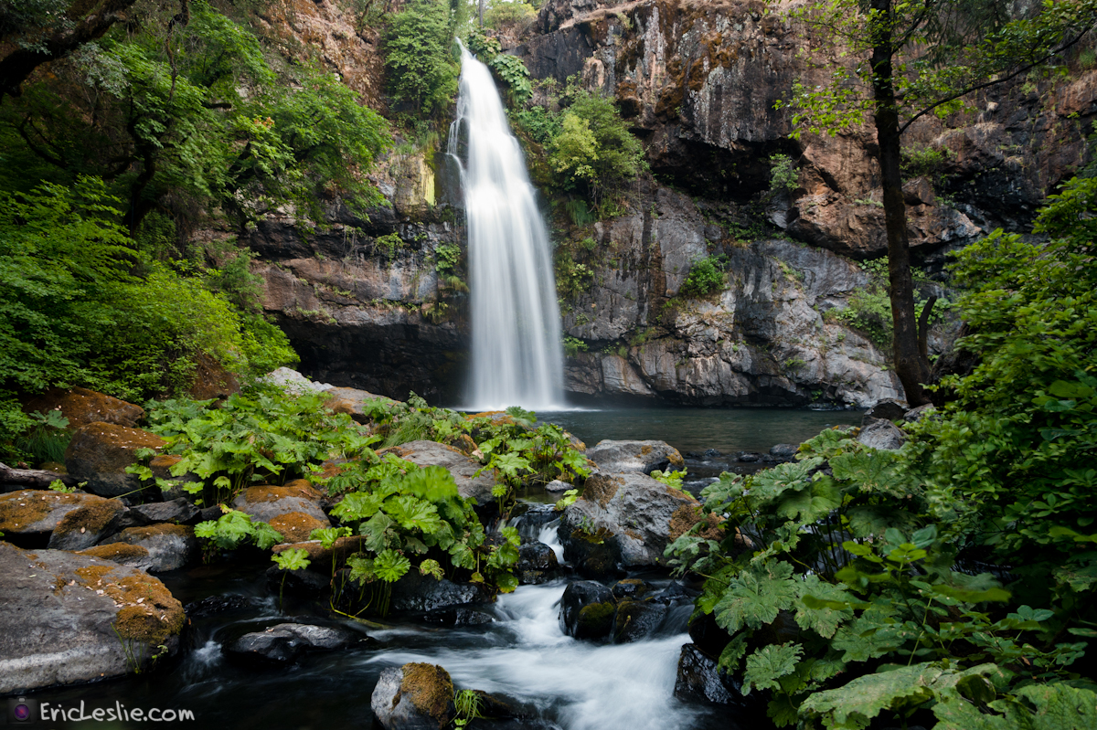
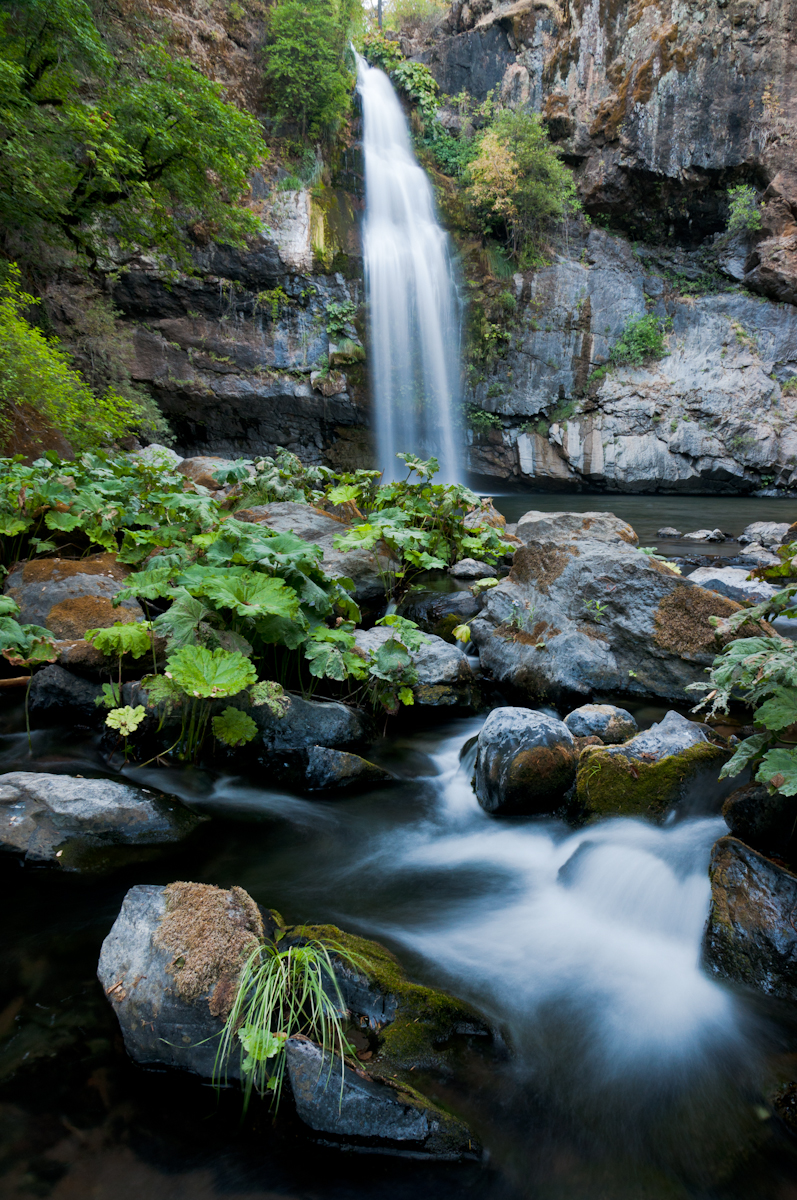
Potem Dream
A Good Thing

Burney Mountain [03.30.13]

A Shasta-Cascade Wonderland: The Great White North in HDR
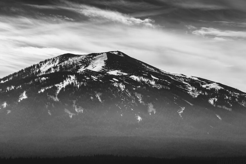
DSCN1290_crop-Breathing Mountain
A Shasta-Cascade Wonderland: The Great White North
A Shasta-Cascade Wonderland: The Great White North

Kilarc Reservoir

_8210034.NEF

A Shasta-Cascade Wonderland: The Great White North
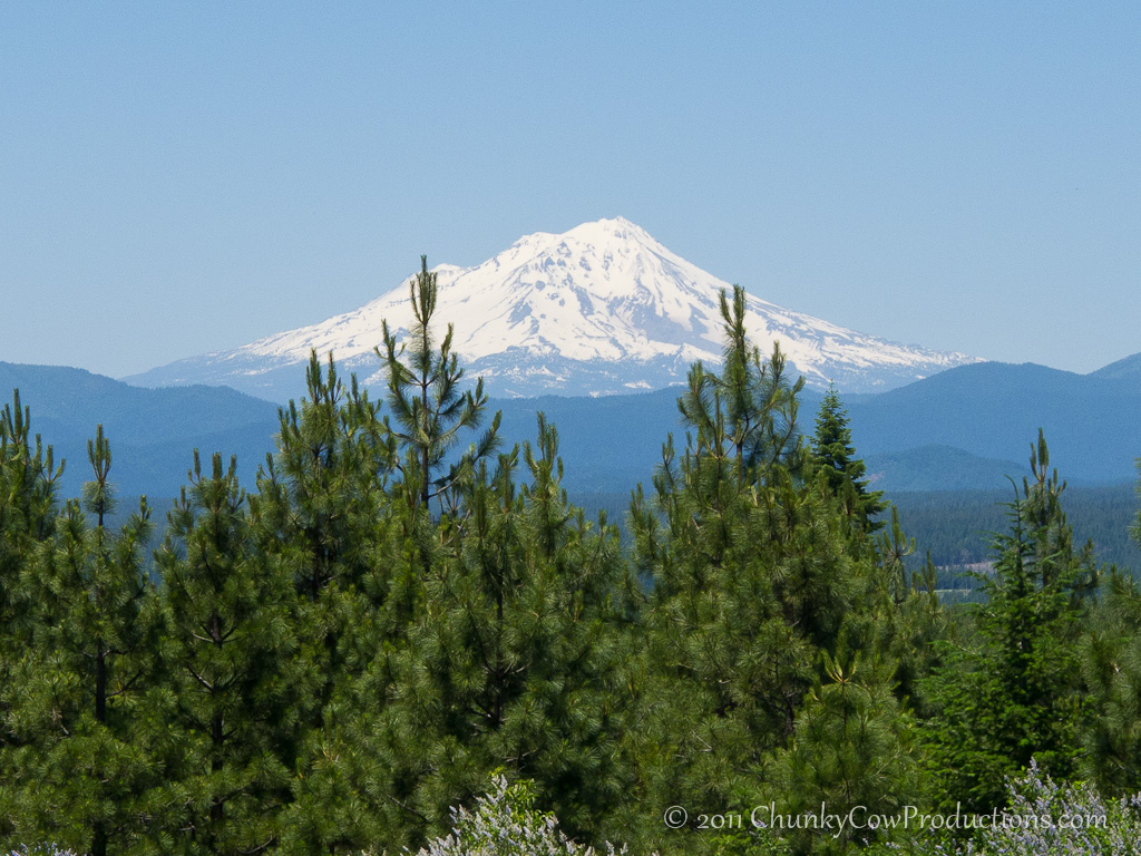
Mount Shasta
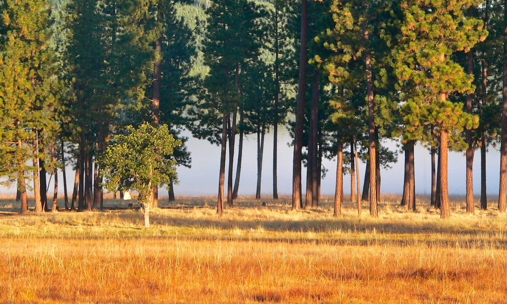
Burney Valley
Topographic Map of Shasta County, CA, USA
Find elevation by address:

Places in Shasta County, CA, USA:
Redding
Shingletown
Shasta Lake
Millville
Whitmore
Lakehead
Happy Valley
Burney
Cottonwood
Palo Cedro
Bella Vista
Shasta
Mcarthur
Oak Run
Castella
Big Bend
Hat Creek
Round Mountain
Montgomery Creek
Old Station
Fall River Mills
French Gulch
O'brien
Whiskeytown
Cassel
Prospect Peak
Raker Peak
Chaos Crags
Loomis Peak
Lassen Peak
Reading Peak
Crater Peak
Burney Mountain
Oak Run to Fern Rd, Oak Run, CA, USA
McArthur Rd, Fall River Mills, CA, USA
Lower Gas Point Rd, Cottonwood, CA, USA
Redding
Fisher
Gibson
Pollard Flat
Lamoine
Delta
Lakehead-lakeshore
Portal Inn
Mountain Gate
Ono
Manzanita Lake
Johnny Place
Places near Shasta County, CA, USA:
Redding
17582 Mountain School Rd
30503 Terry Mill Rd
30435 Dunn Moody Rd
Hillcrest Rest Area
30014 Fenders Ferry Rd
30318 Ca-299
Montgomery Creek
Hill Country Community Clinic
Round Mountain
29721 D Ann Way
20911 Big Bend Rd
Big Bend Road
20088 Peridot Ln
37243 Birch Ave
Burney
Burney Mountain
Big Bend Rd, Big Bend, CA, USA
Big Bend
Garden Ln, Burney, CA, USA
Recent Searches:
- Elevation of Corso Fratelli Cairoli, 35, Macerata MC, Italy
- Elevation of Tallevast Rd, Sarasota, FL, USA
- Elevation of 4th St E, Sonoma, CA, USA
- Elevation of Black Hollow Rd, Pennsdale, PA, USA
- Elevation of Oakland Ave, Williamsport, PA, USA
- Elevation of Pedrógão Grande, Portugal
- Elevation of Klee Dr, Martinsburg, WV, USA
- Elevation of Via Roma, Pieranica CR, Italy
- Elevation of Tavkvetili Mountain, Georgia
- Elevation of Hartfords Bluff Cir, Mt Pleasant, SC, USA