Elevation of Burney Mountain, California, USA
Location: United States > California > Shasta County >
Longitude: -121.62776
Latitude: 40.8065473
Elevation: 2263m / 7425feet
Barometric Pressure: 77KPa
Elevation Map:
Satellite Map:
Related Photos:
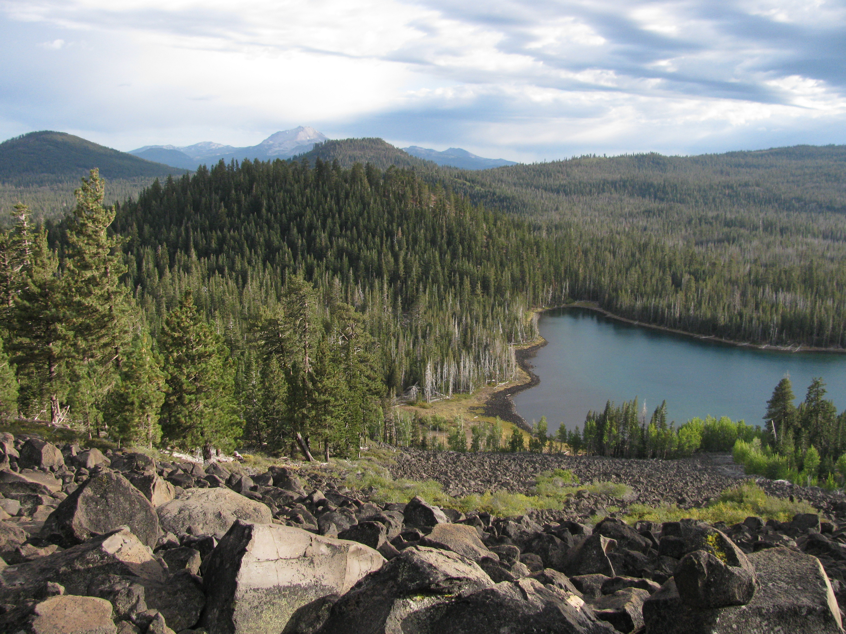
Climbing the lava boulders
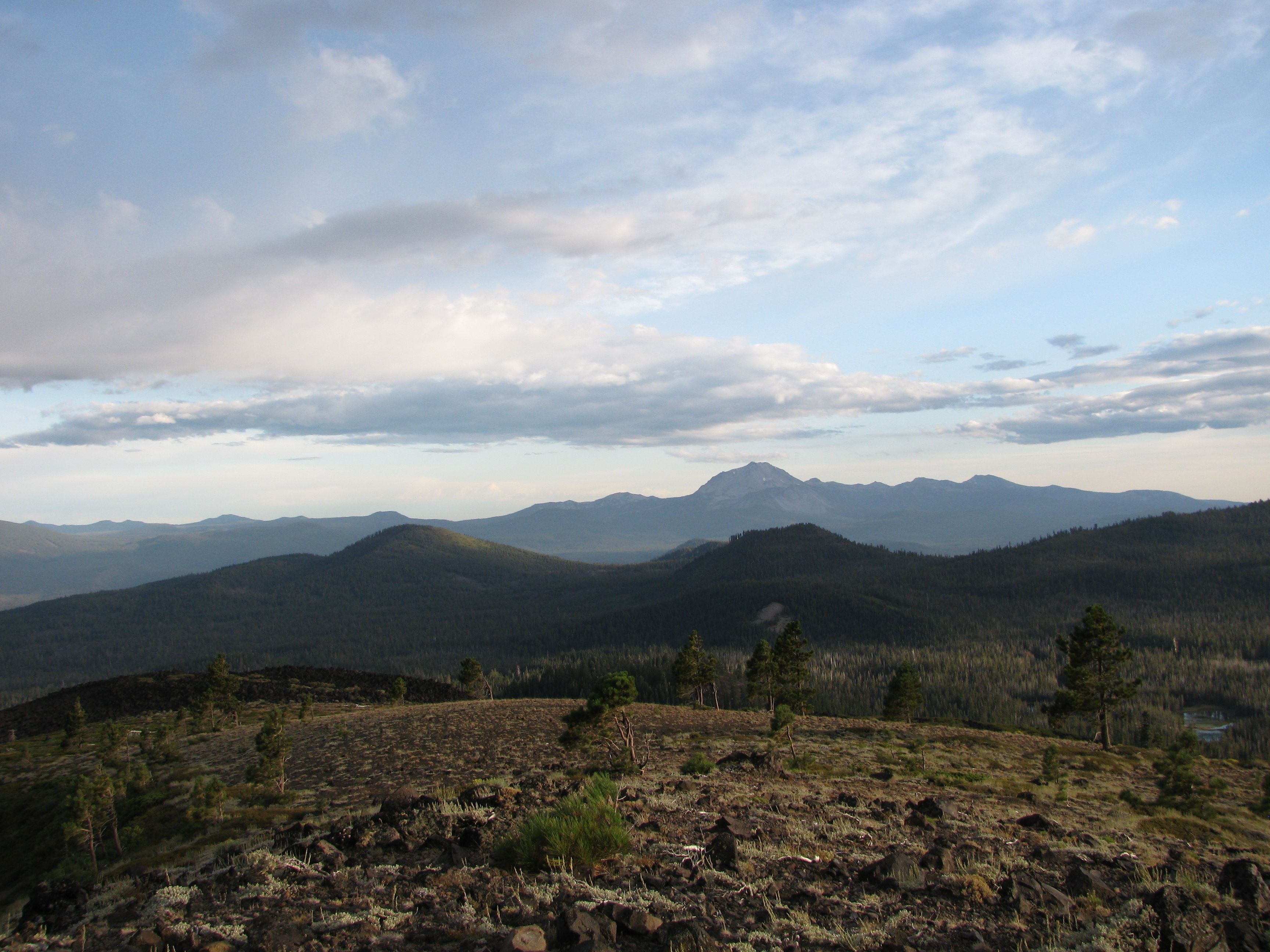
View towards Lassen

View of Crater Pk
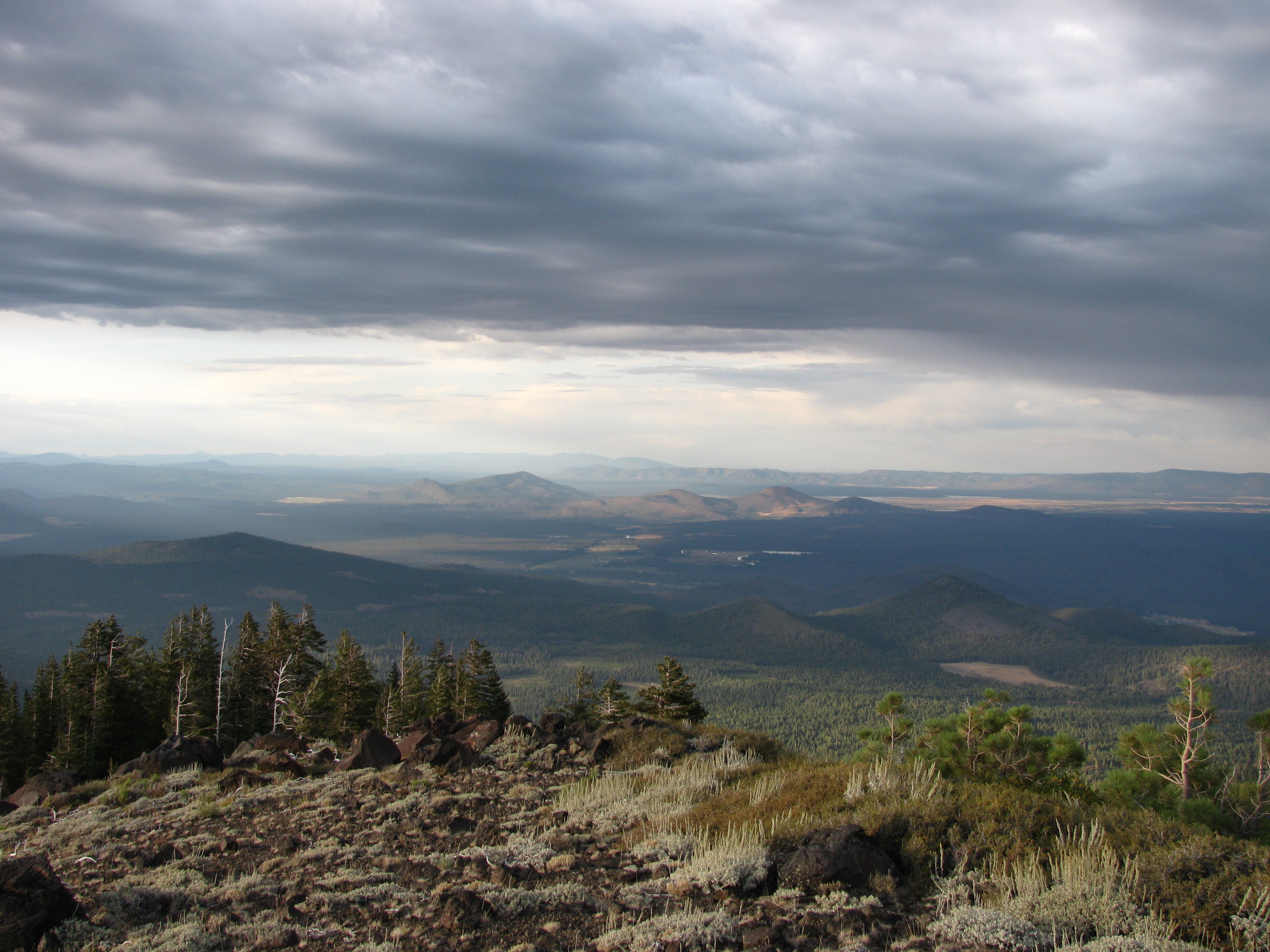
View to the E
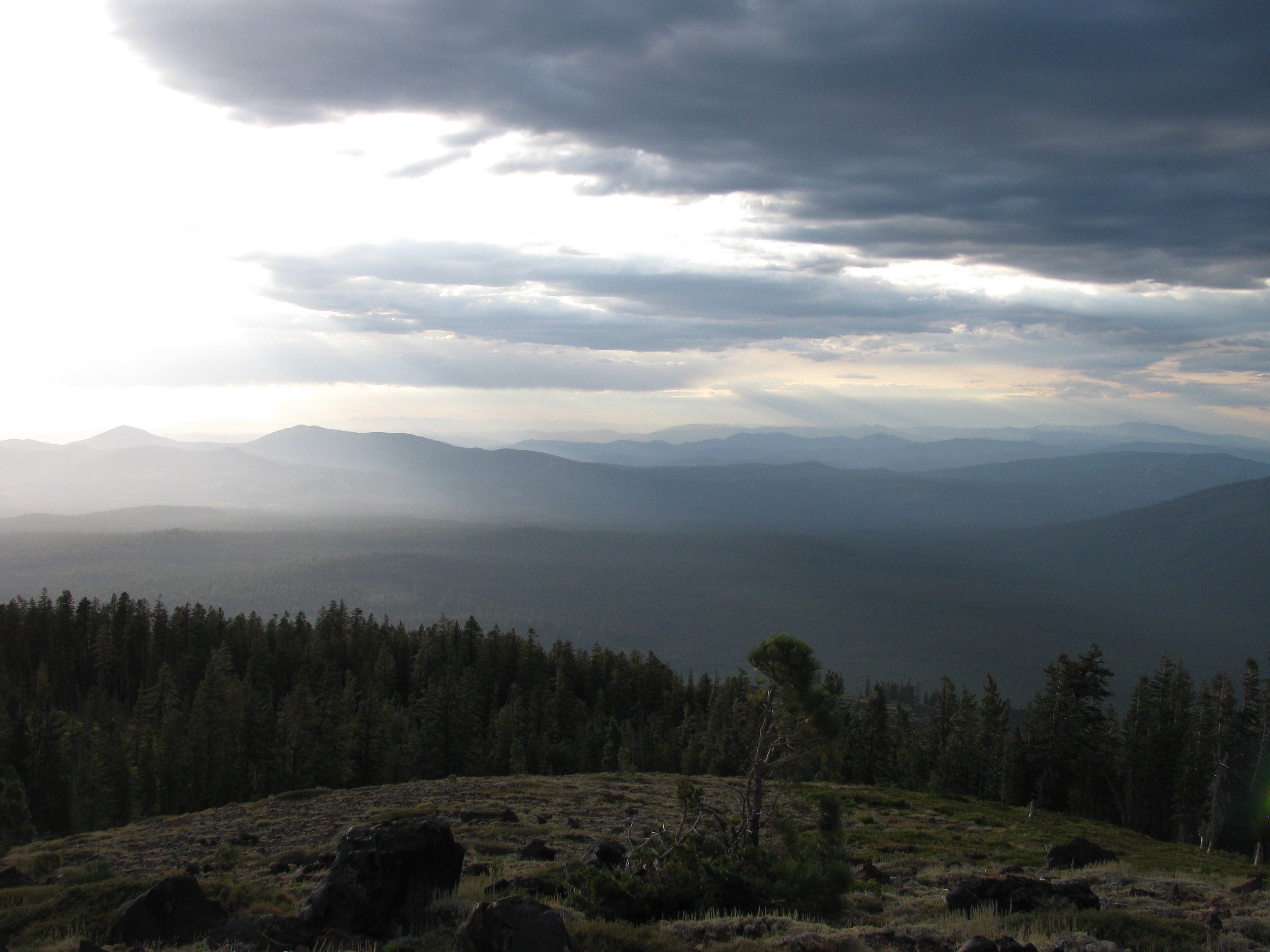
View to the NW
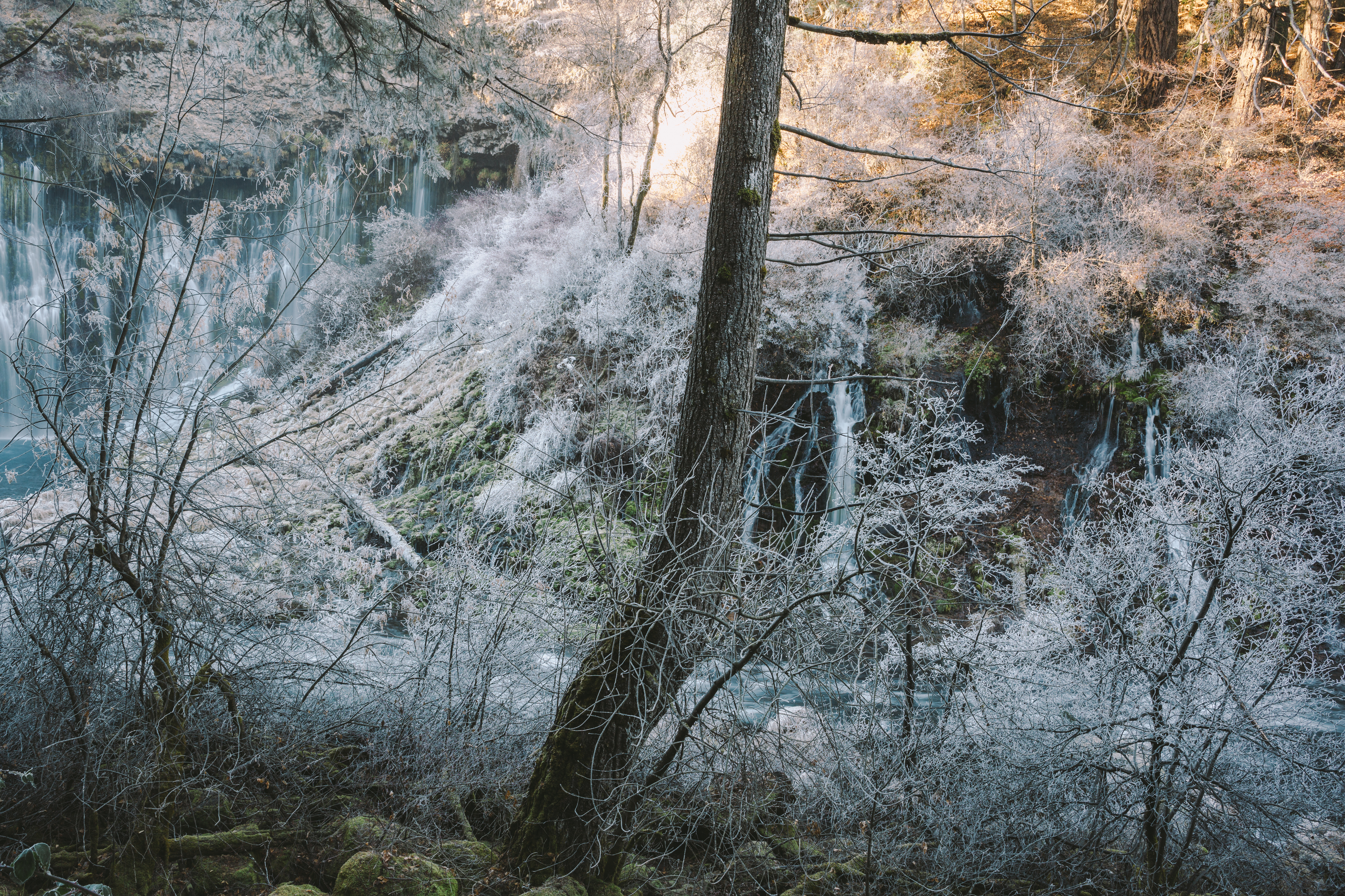
Where Frozen Dreams Are Kept

Burney Mountain [03.30.13]
Topographic Map of Burney Mountain, California, USA
Find elevation by address:

Places near Burney Mountain, California, USA:
20088 Peridot Ln
37243 Birch Ave
Burney
Volcano Lane
Garden Ln, Burney, CA, USA
18320 Ca-89
Hat Creek
Doty Rd, Hat Creek, CA, USA
Cassel
Thrush Road
37985 Clark Creek Rd
Clark Creek Rd, Burney, CA, USA
Burney Falls
Redding
Shasta County
Cayton Valley Rd, Burney, CA, USA
17582 Mountain School Rd
Fall River Mills
Hillcrest Rest Area
CA-, Fall River Mills, CA, USA
Recent Searches:
- Elevation of Corso Fratelli Cairoli, 35, Macerata MC, Italy
- Elevation of Tallevast Rd, Sarasota, FL, USA
- Elevation of 4th St E, Sonoma, CA, USA
- Elevation of Black Hollow Rd, Pennsdale, PA, USA
- Elevation of Oakland Ave, Williamsport, PA, USA
- Elevation of Pedrógão Grande, Portugal
- Elevation of Klee Dr, Martinsburg, WV, USA
- Elevation of Via Roma, Pieranica CR, Italy
- Elevation of Tavkvetili Mountain, Georgia
- Elevation of Hartfords Bluff Cir, Mt Pleasant, SC, USA