Elevation of Crater Peak, California, USA
Location: United States > California > Shasta County >
Longitude: -121.62137
Latitude: 40.6979357
Elevation: 2496m / 8189feet
Barometric Pressure: 75KPa
Elevation Map:
Satellite Map:
Related Photos:
Climbing the lava boulders
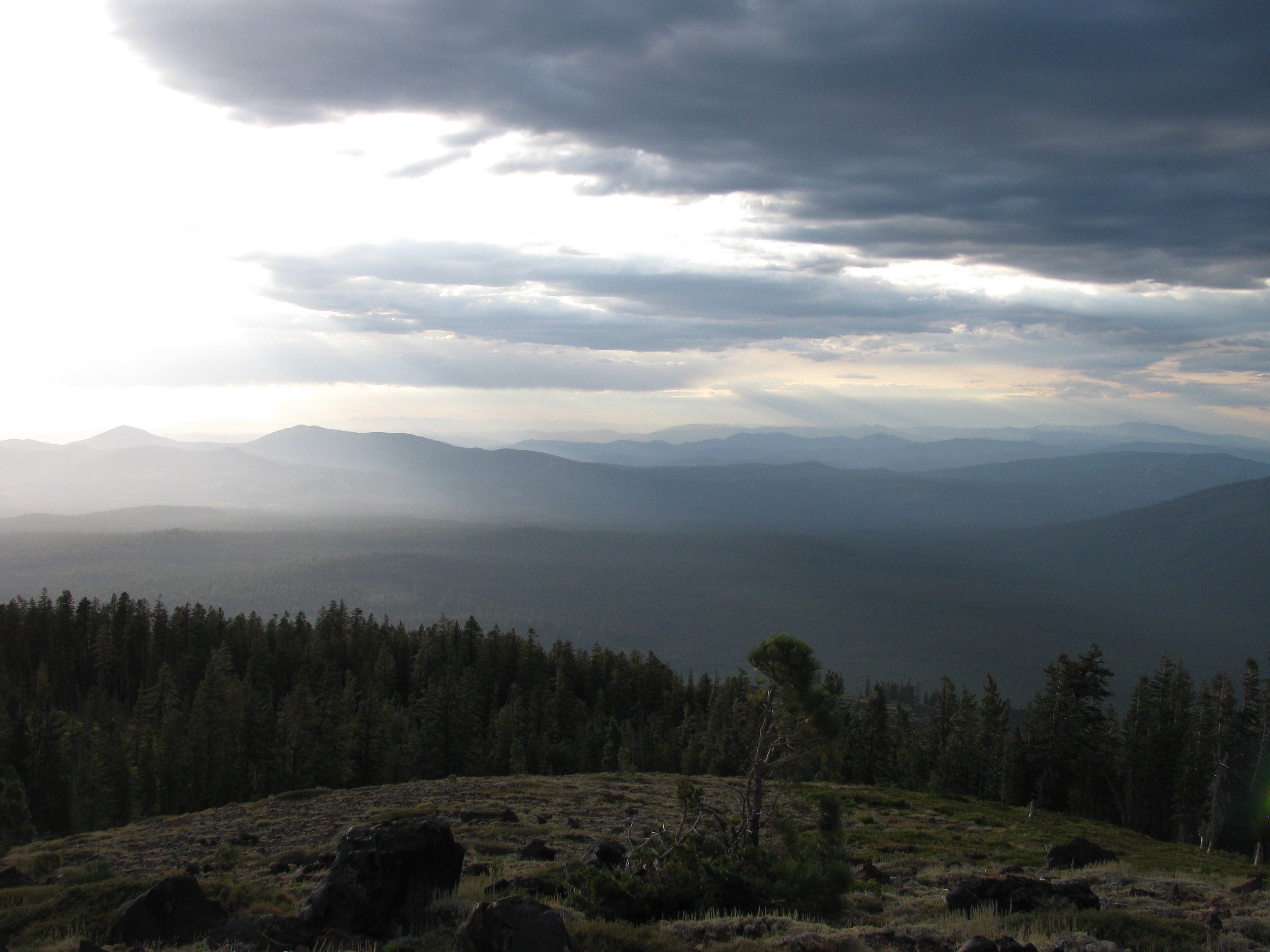
View to the NW
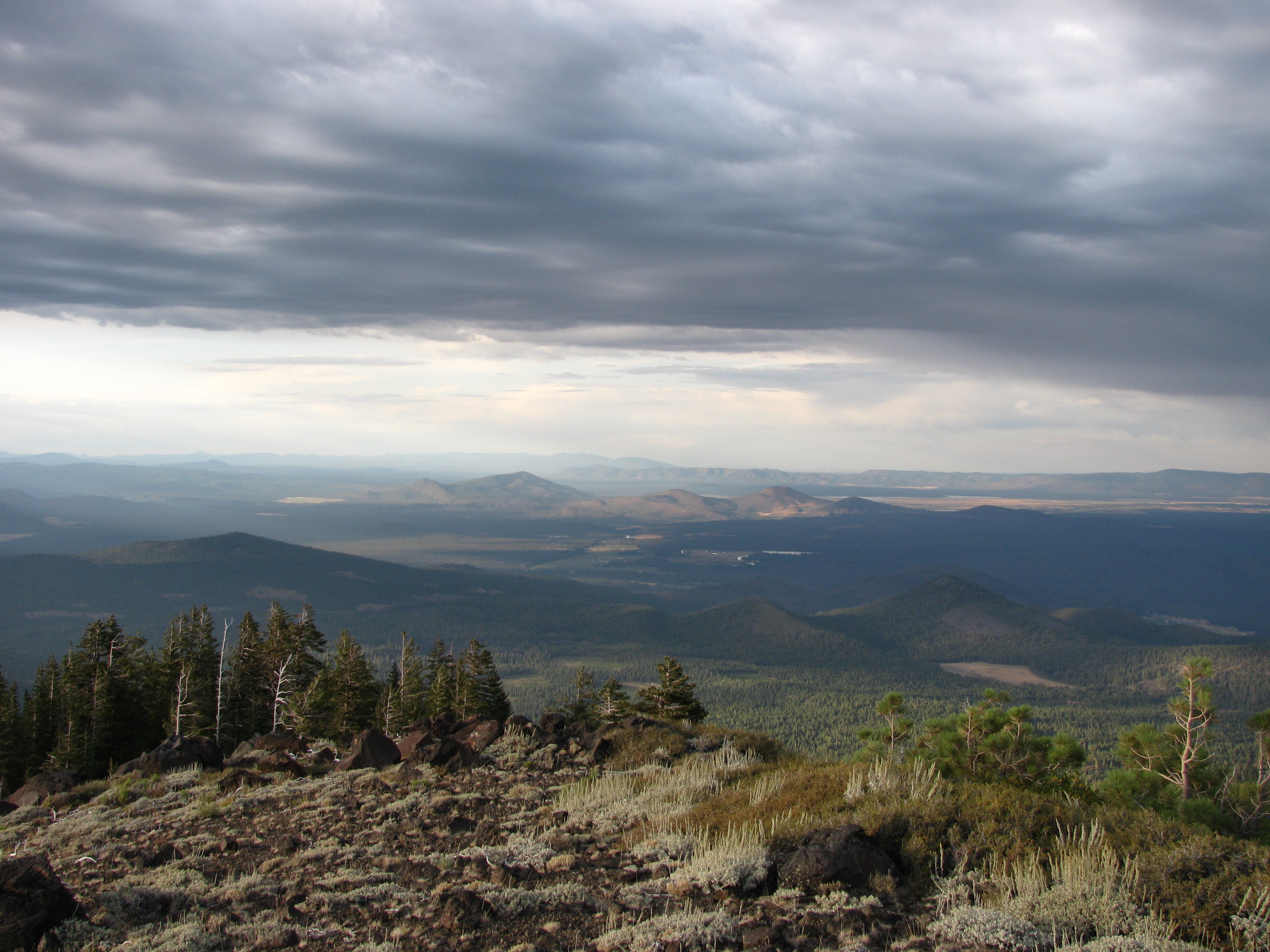
View to the E

View of Crater Pk
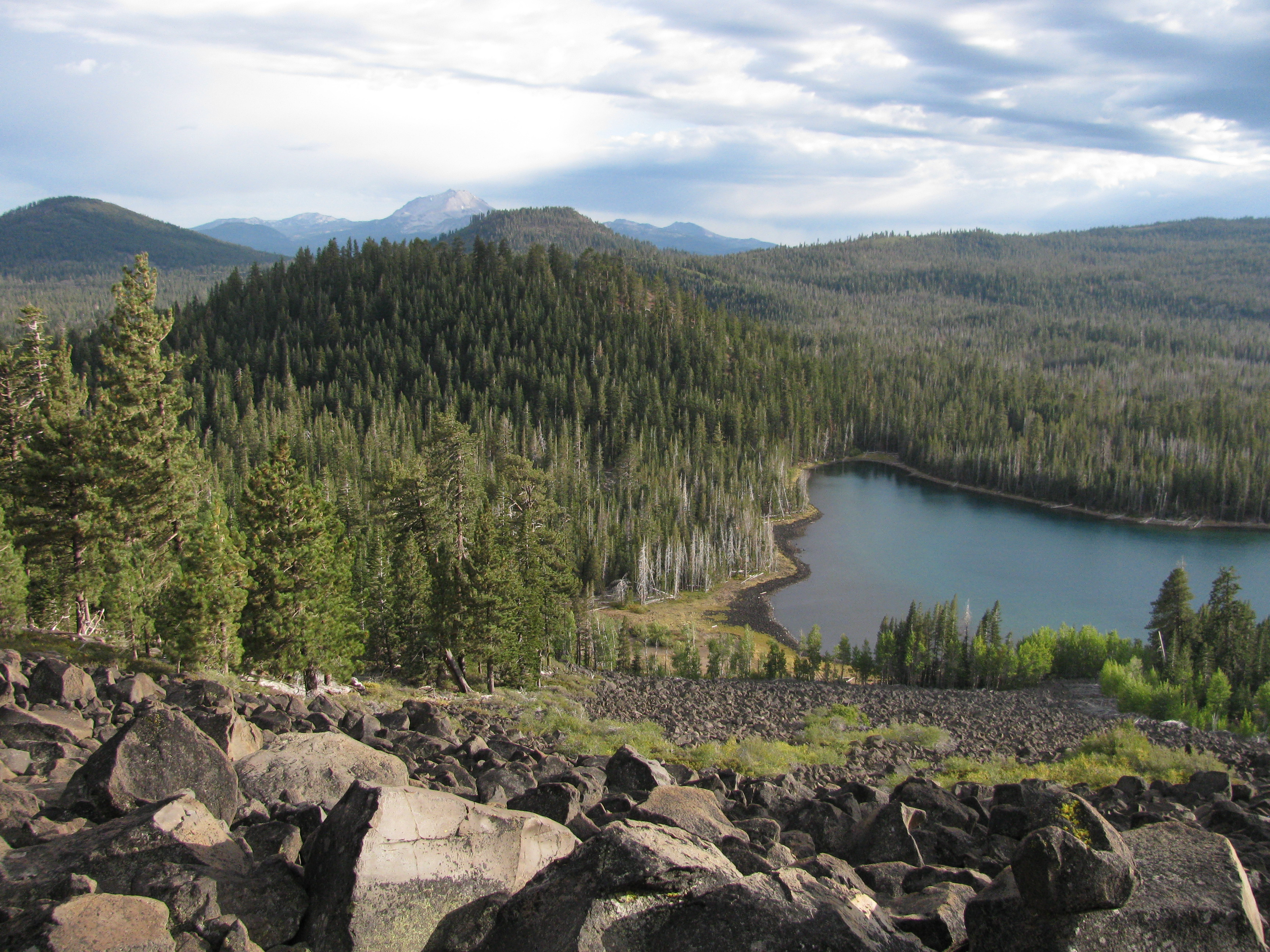
View towards Lassen
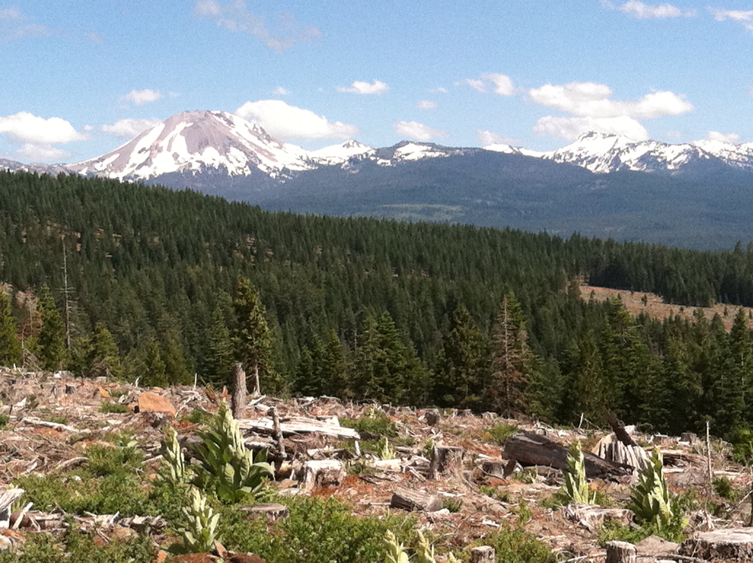
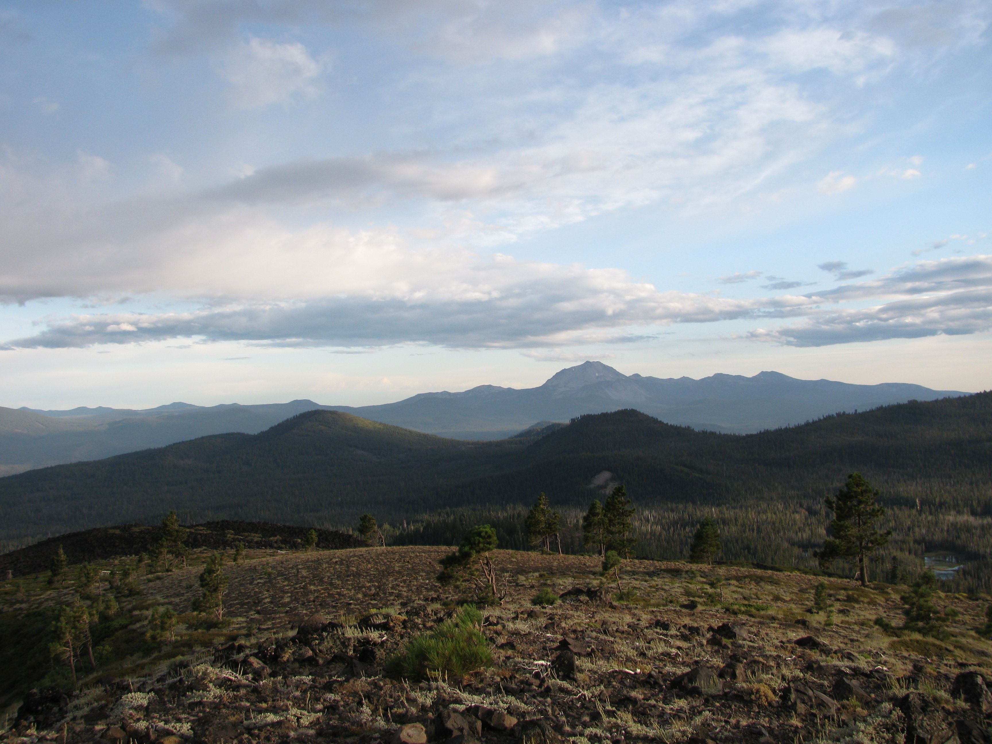
Lassen Peak.
Topographic Map of Crater Peak, California, USA
Find elevation by address:

Places near Crater Peak, California, USA:
Manzanita Lake
35471 Redwood Dr
Viola
Brokeoff Meadows Rd, Shingletown, CA, USA
Old Station
7900 Brokeoff Meadows Rd
35175 Eagle Ln
35175 Eagle Ln
Chaos Crags
Battle Creek Drive
34930 Emigrant Trail
Wild Turkey Ln, Shingletown, CA, USA
8269 Lost Mill Rd
34719 Westward Ho Rd
34700 Coot Ln
Raker Peak
Loomis Peak
34661 Timber Ridge Rd
7554 Pine Ln
Lassen Peak
Recent Searches:
- Elevation of Corso Fratelli Cairoli, 35, Macerata MC, Italy
- Elevation of Tallevast Rd, Sarasota, FL, USA
- Elevation of 4th St E, Sonoma, CA, USA
- Elevation of Black Hollow Rd, Pennsdale, PA, USA
- Elevation of Oakland Ave, Williamsport, PA, USA
- Elevation of Pedrógão Grande, Portugal
- Elevation of Klee Dr, Martinsburg, WV, USA
- Elevation of Via Roma, Pieranica CR, Italy
- Elevation of Tavkvetili Mountain, Georgia
- Elevation of Hartfords Bluff Cir, Mt Pleasant, SC, USA