Elevation of Portal Inn, CA, USA
Location: United States > California > Shasta County >
Longitude: -122.31945
Latitude: 40.7357056
Elevation: 303m / 994feet
Barometric Pressure: 98KPa
Related Photos:

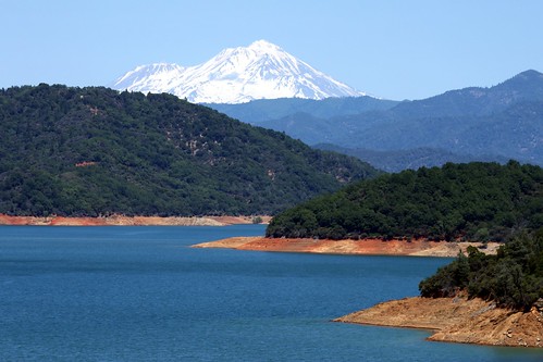
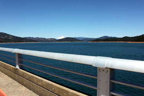
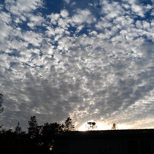
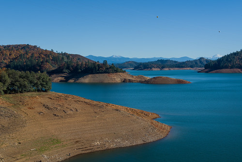
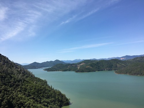
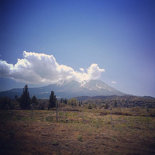
View from the overflow. Who'd have though you wouldn't be able to find a seat at an 8.30am service. Love this place!

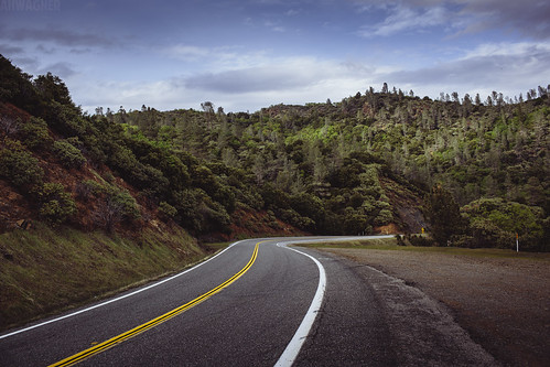
Interstate 5 Southbound Shasta Valley Freeway approaching 1/4 = 0.25 mile to Exit 681A - Twin View Blvd. followed by Exit 680 - State Highway Junction Route CA-299 Lake Blvd. 3/4 = 0.75 miles with this overhead sign located at

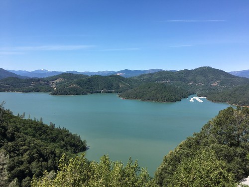
Interstate 5 Northbound Shasta Valley Freeway approaching 1/2 mile to Exit 695 - Packers Bay Road next right with this roadside sign located at Shasta County, California. Hiking, Boat unloading dock and anchor hooking exit ahead. Forest services, hiking,

Interstate 5 Northbound Shasta Valley Freeway approaching Exit 681 - Twin View Blvd. 1/2 mile, Exit 682 - Oasis Road 1 1/2 miles and Exit 684 - Pine Grove Avenue 3 miles with this roadside sign located at Shasta County - Redding, California.
Topographic Map of Portal Inn, CA, USA
Find elevation by address:

Places near Portal Inn, CA, USA:
Grey Rock Way, Redding, CA, USA
19517 Tunnel Rd
Mountain Gate
Bass Drive
Flintstone Road
14284 Indian Acres Trail
20920 Dorothy Ln
13656 Echo Hill Rd
13630 Echo Hill Rd
Union School Road
13490 Tierra Heights Rd
19614 Natalie Way
21293 Jennifer Dr
21293 Jennifer Dr
Bear Mountain Road
13278 Bear Mountain Rd
13632 Creek Trail
13632 Creek Trail
13632 Creek Trail
13632 Creek Trail
Recent Searches:
- Elevation of Corso Fratelli Cairoli, 35, Macerata MC, Italy
- Elevation of Tallevast Rd, Sarasota, FL, USA
- Elevation of 4th St E, Sonoma, CA, USA
- Elevation of Black Hollow Rd, Pennsdale, PA, USA
- Elevation of Oakland Ave, Williamsport, PA, USA
- Elevation of Pedrógão Grande, Portugal
- Elevation of Klee Dr, Martinsburg, WV, USA
- Elevation of Via Roma, Pieranica CR, Italy
- Elevation of Tavkvetili Mountain, Georgia
- Elevation of Hartfords Bluff Cir, Mt Pleasant, SC, USA

