Elevation of Flintstone Road, Flintstone Rd, Redding, CA, USA
Location: United States > California > Shasta County > Redding >
Longitude: -122.34154
Latitude: 40.7095442
Elevation: 274m / 899feet
Barometric Pressure: 98KPa
Elevation Map:
Satellite Map:
Related Photos:
Sundial Bridge in September

Sundial Bridge at Turtle Bay (II)

Sundial Bridge Lightning, The Sundial Bridge, Redding, CA

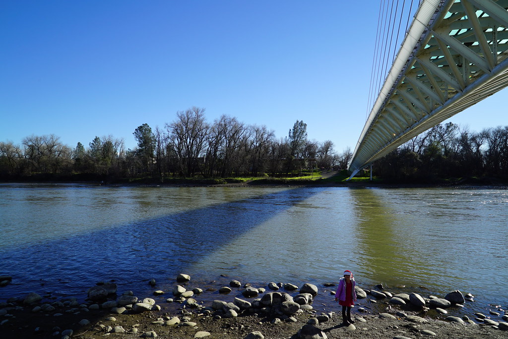
Sundial Bridge at Turtle Bay

Self Portrait - 3

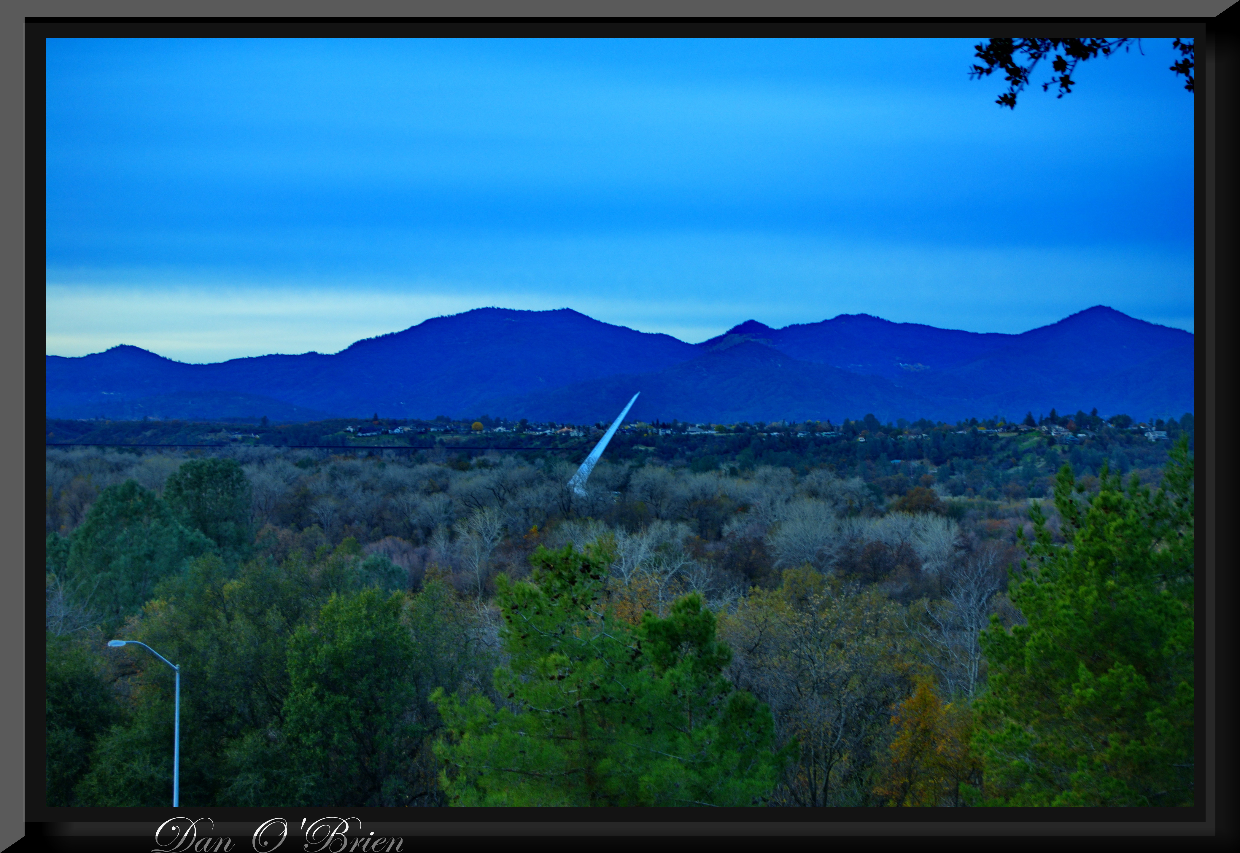
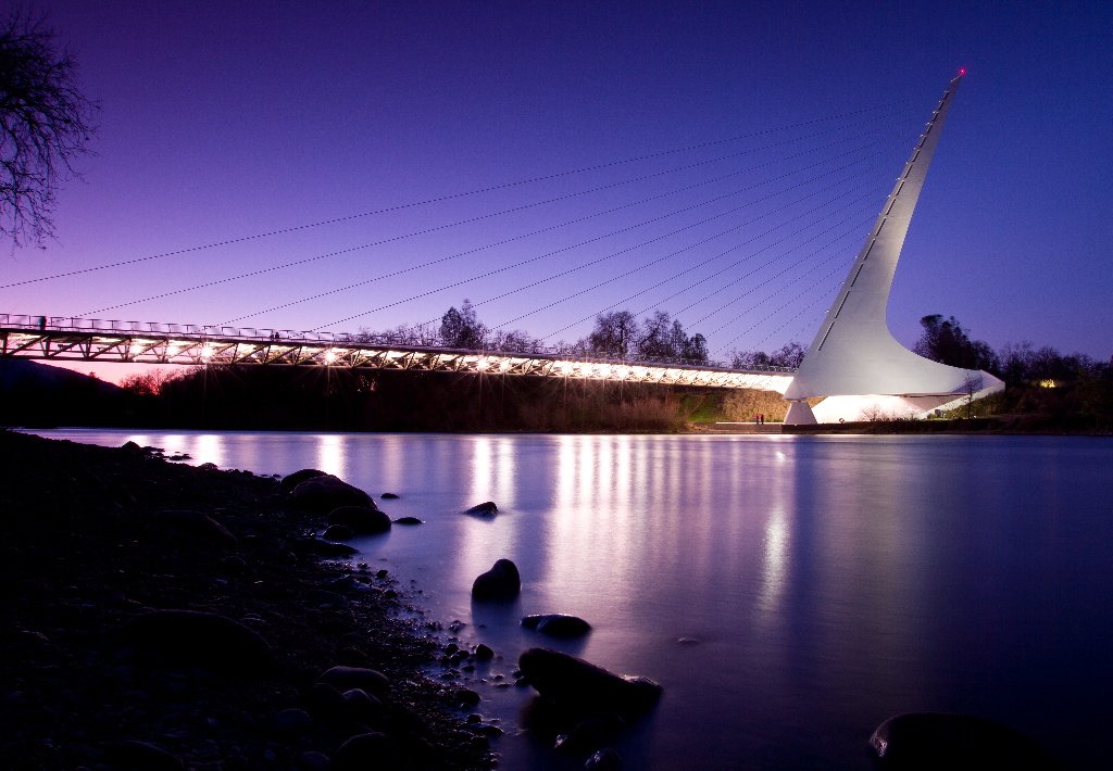
Sundial in Blue
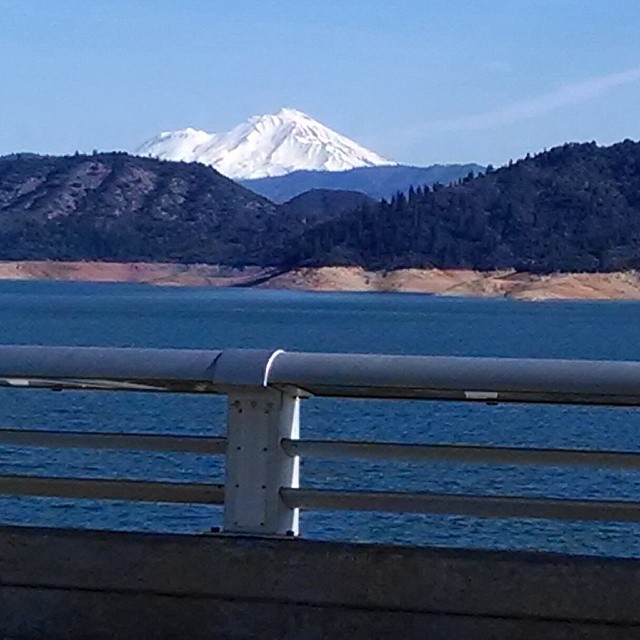
A beautiful view of Mt. Shasta from Shasta Dam.

Self Portrait - 2

Calatrava's Sundial Bridge, Redding, California

Bald Eagle with Fish in Talons - This is "Liberty", the female of the nesting pair at Turtle Bay, Redding, California

Redding, CASD59MX-UP 9900

Self Portrait - 1

UP9921-9900-9924

Bald Eagle Carrying Stick for Nest

20090711 152139-16,765-10x16

View from the overflow. Who'd have though you wouldn't be able to find a seat at an 8.30am service. Love this place!

Just realized I hadn't #grammed anything from my recent trip to Redding, California. Here's the view from the Sundial Bridge over the Sacramento River. #NorCal #latergram #naturegram #photooftheday

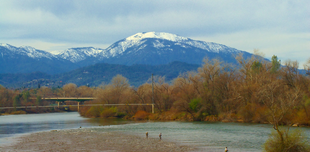
3 Shastas in HDR

Redding Train Station UP 9911

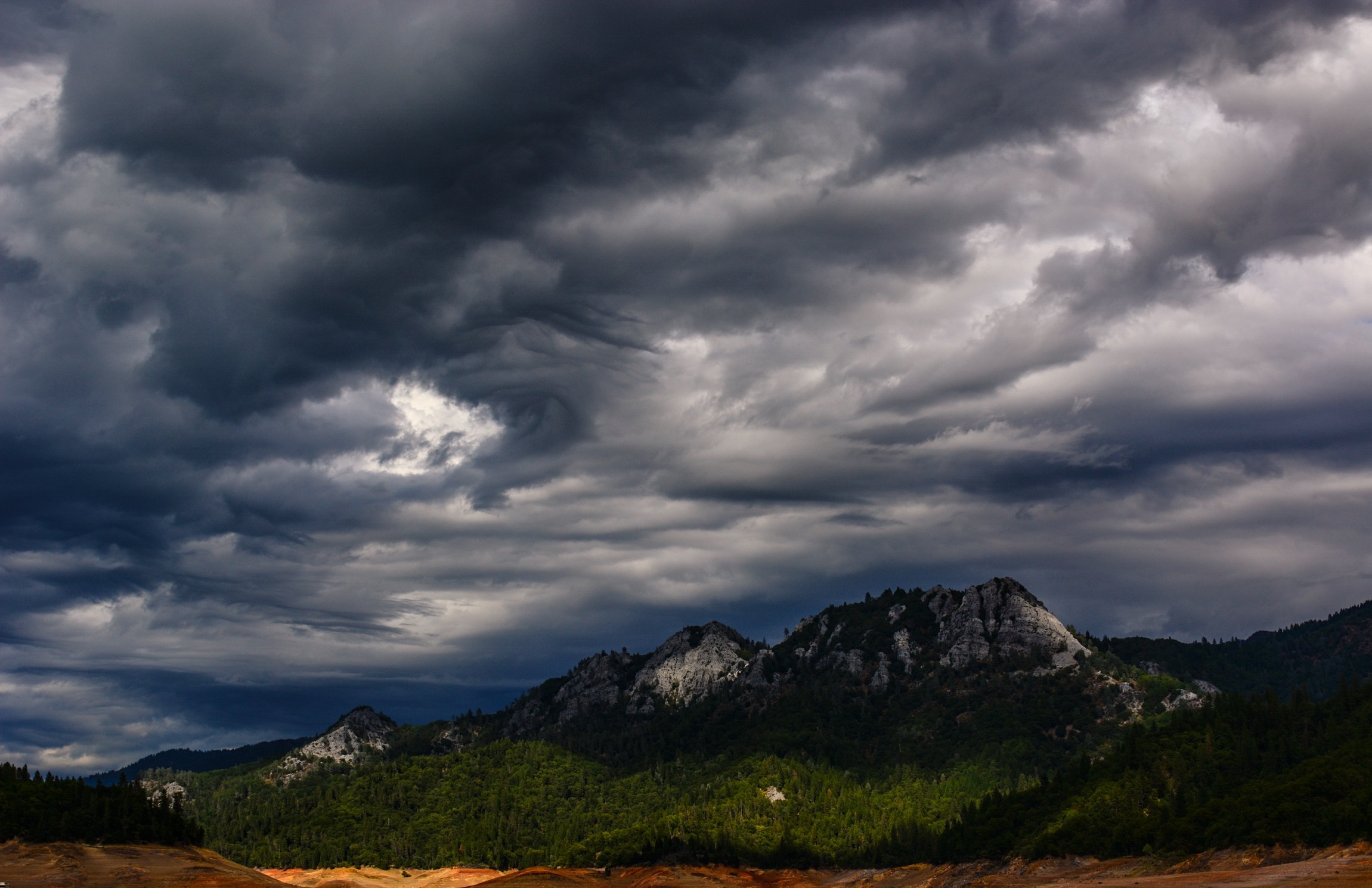
View of Lake Shasta Fire Nov 3rd 2013, California
O'B (5)
Tears of Solitude
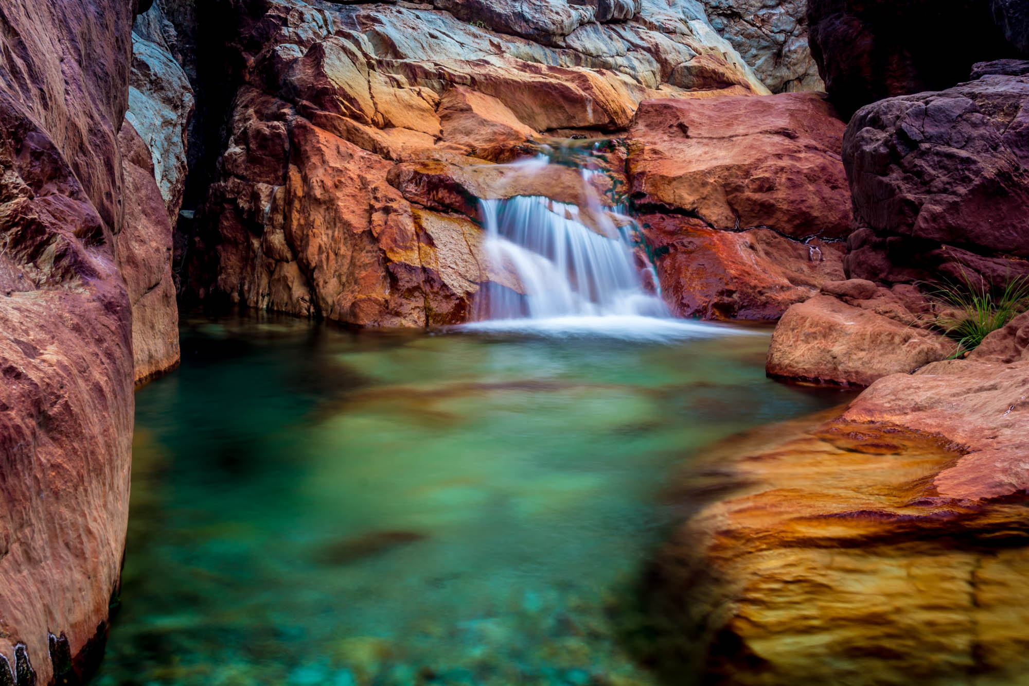
Crystal Clear - Shasta National Forest, CA, USA
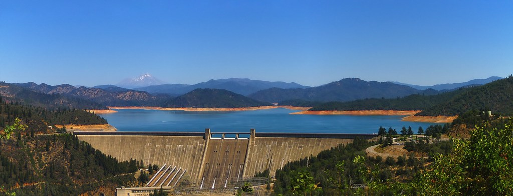
Shasta Dam and Lake
Random photography
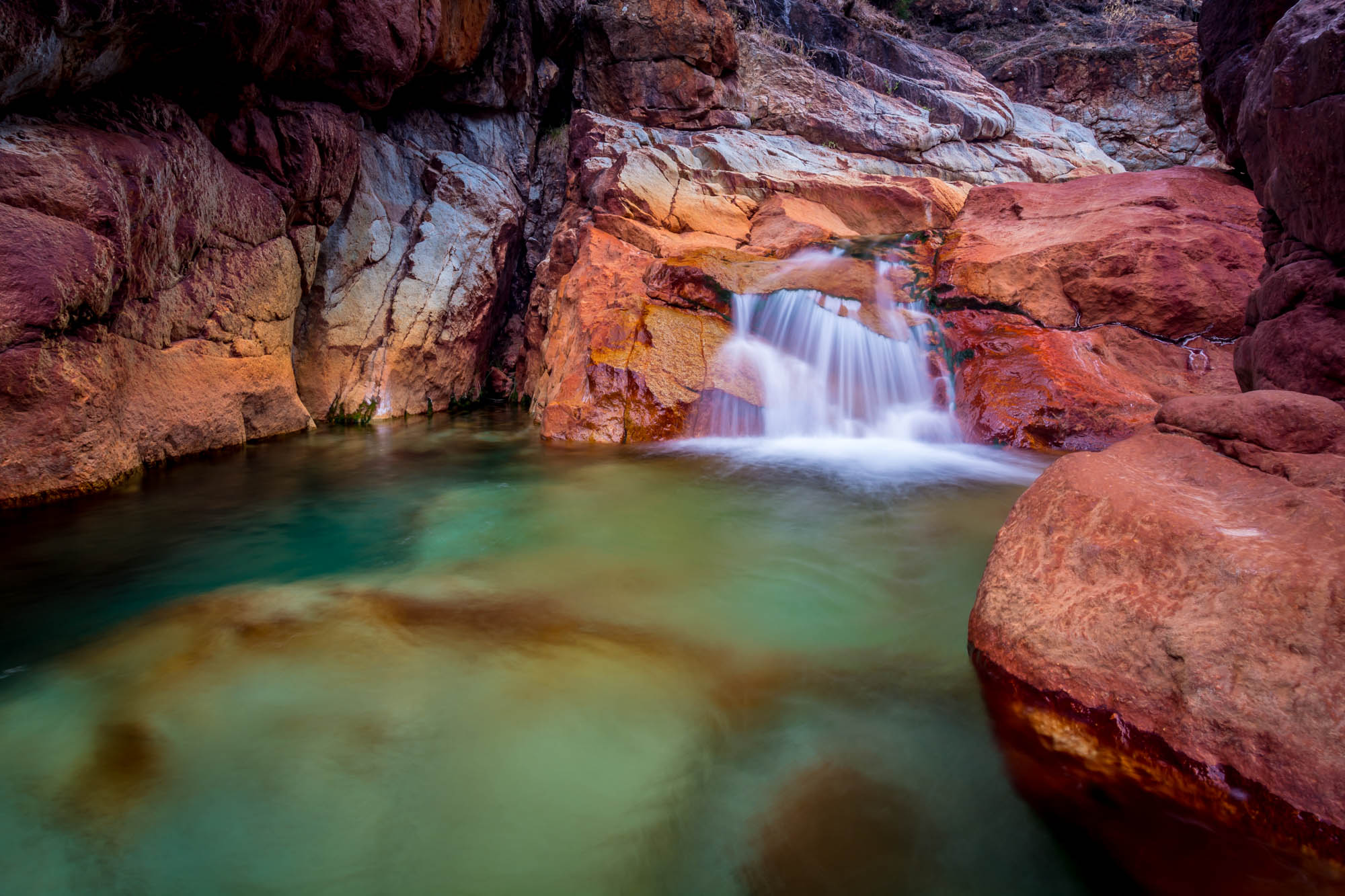
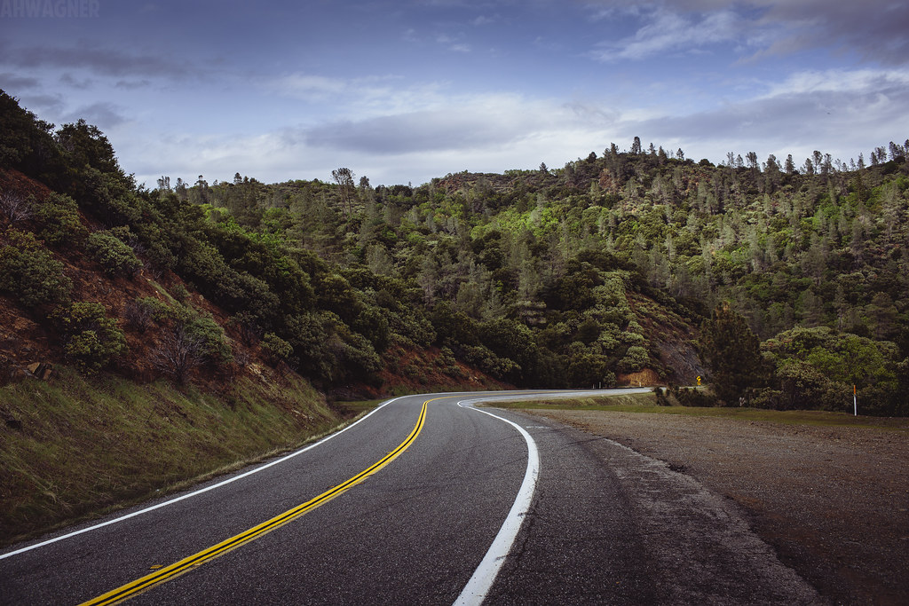
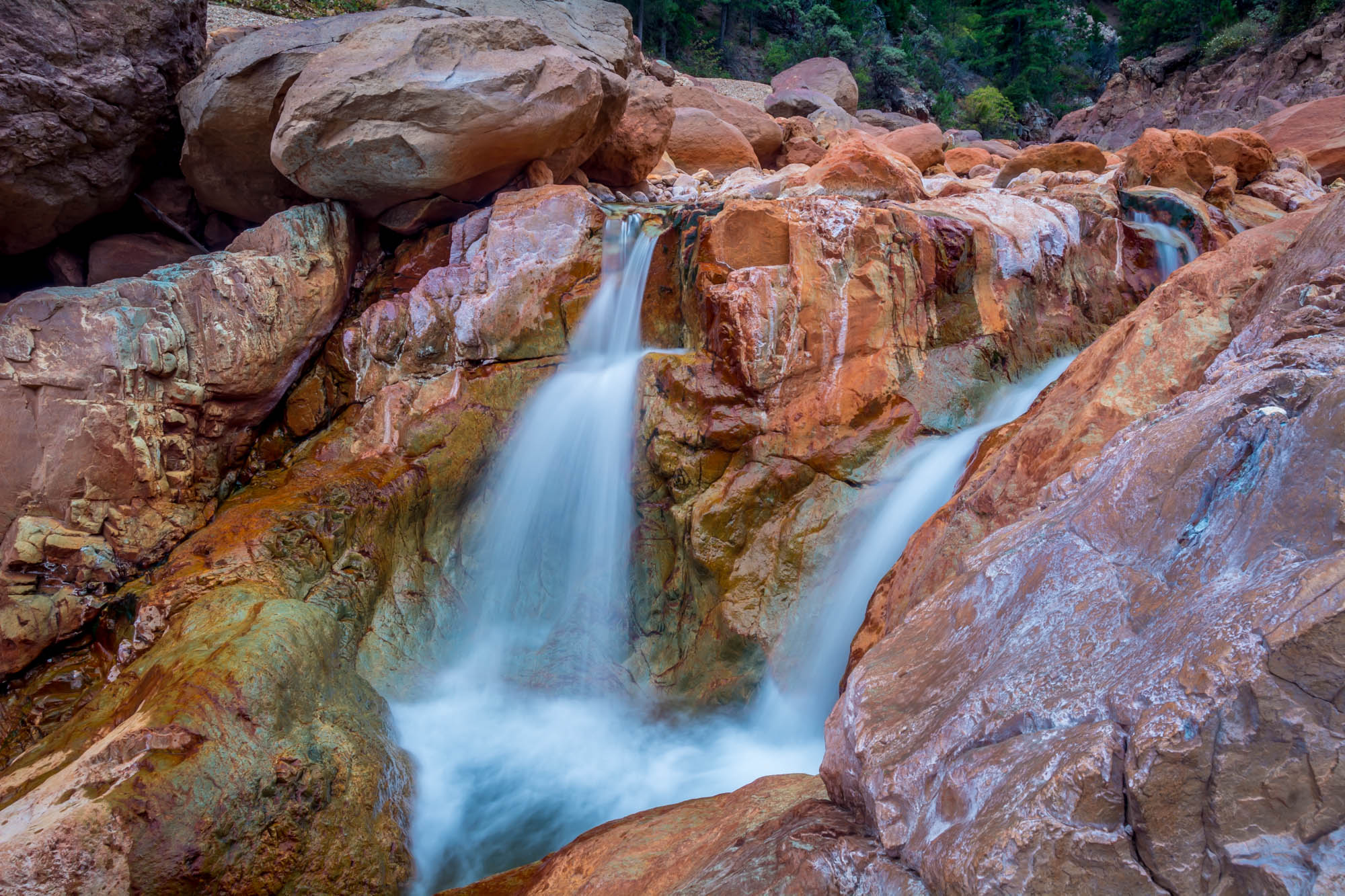
Valley of Colors - Little Backbone Creek, Shasta Lake, CA, USA

Trees being trees
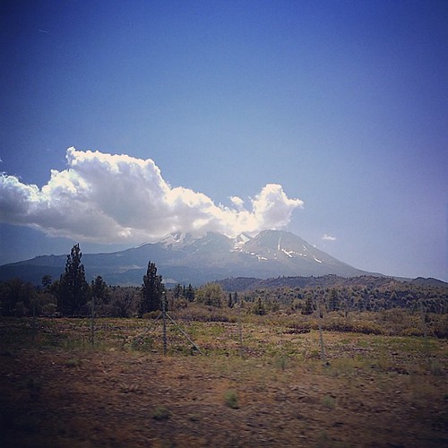
Mount Shasta
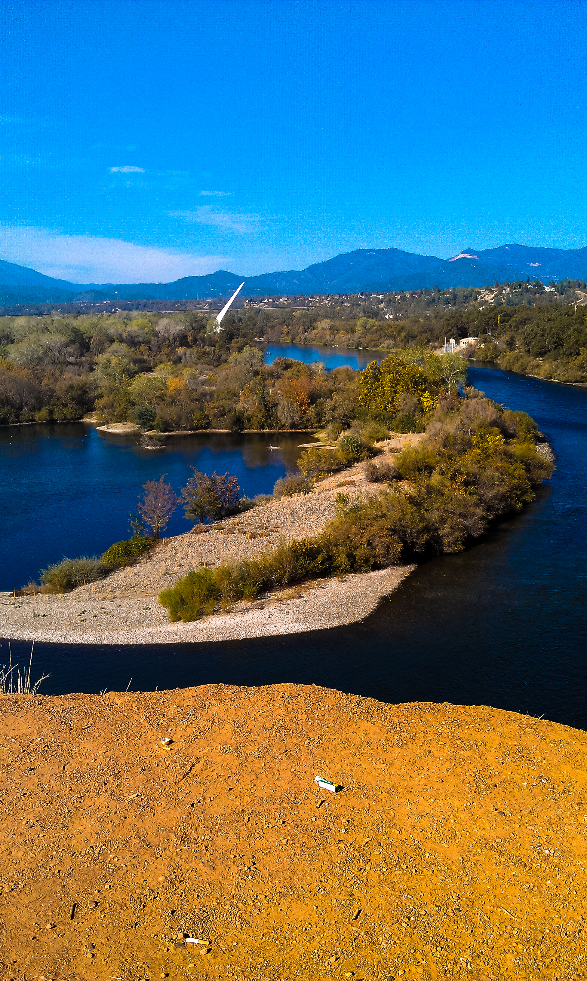
Turtle Bay

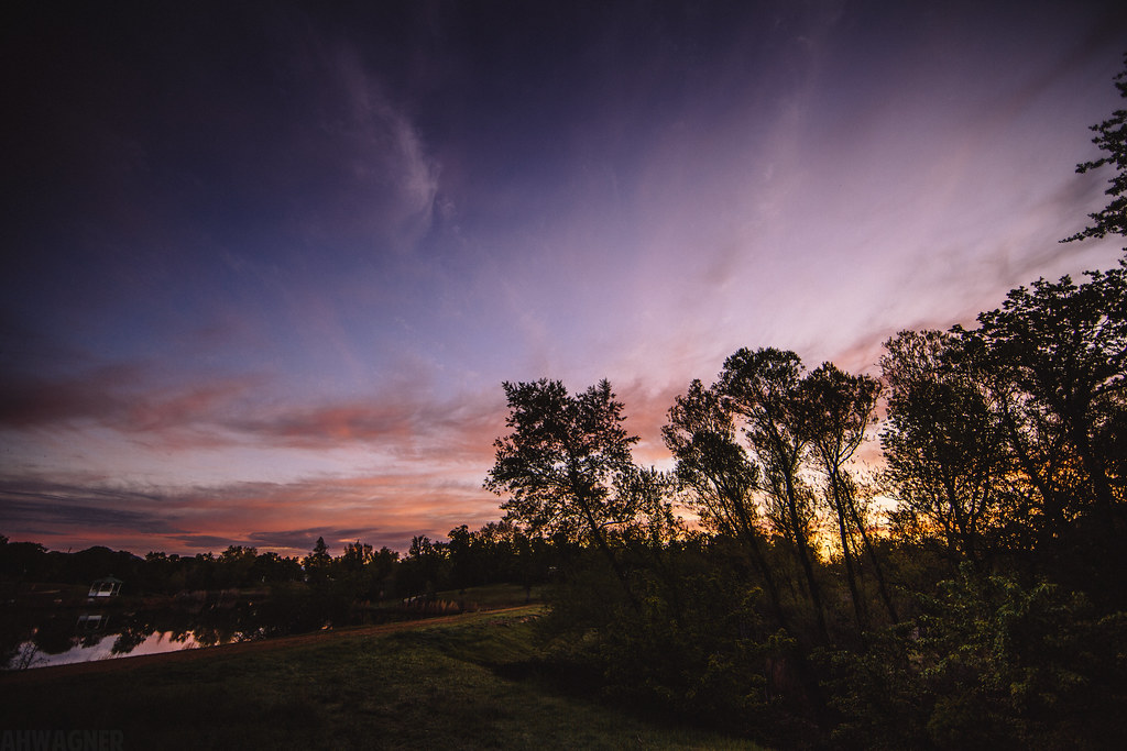
Sunset at the Sundial Bridge

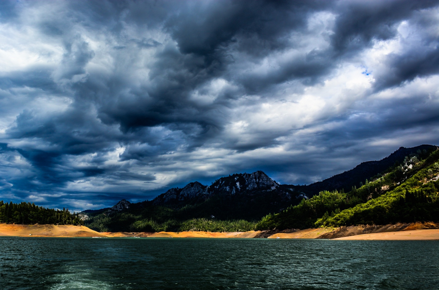
Lake Sentinel
We're on our way up to Redmond, OR, just passed Mt. Shasta! #openrange #bearcrossing #14000ft
Sundial Bridge Redding Ca.
Shasta Dam Boulevard [03.28.13]
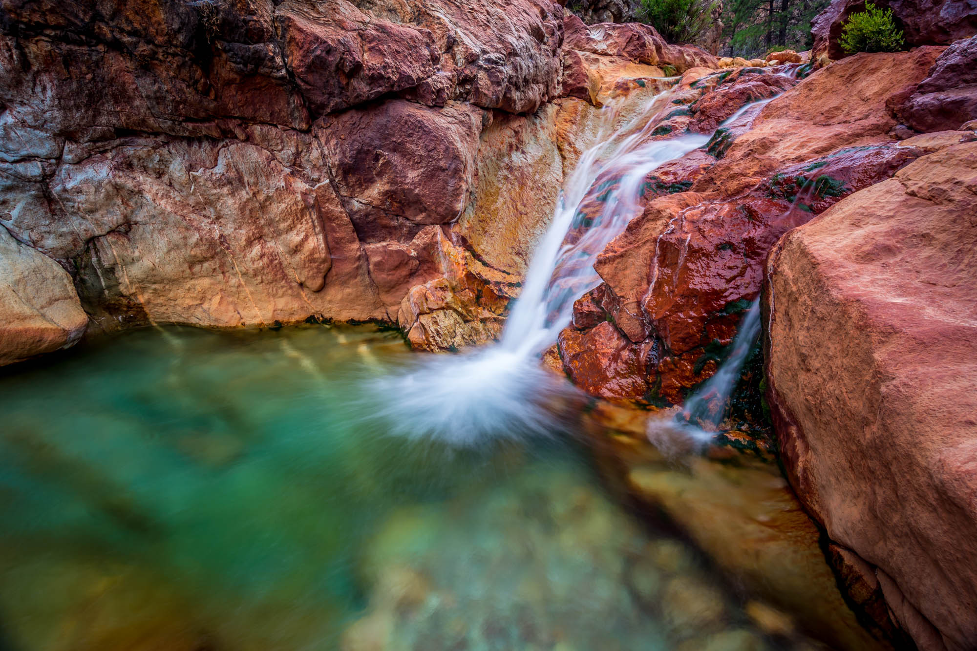
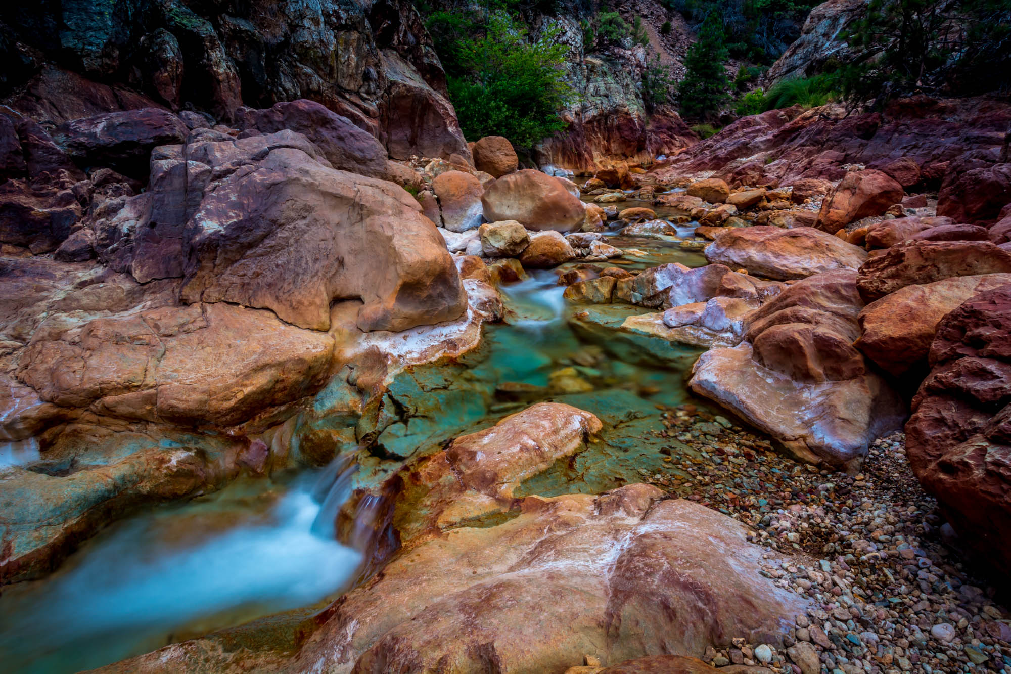
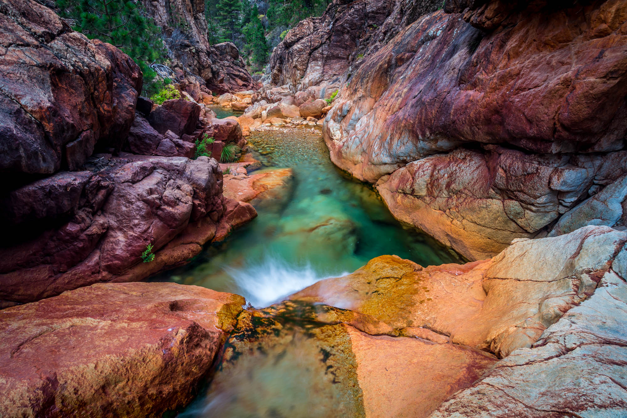
Little Backbone Creek, Shasta Lake, CA, USA
Random photography
Towards Destiny - Shasta National Forest, CA, USA
Little Backbone Creek, Shasta Lake, CA, USA
Sunrise at Simpson [03.30.13]

A Path of Exploration and Learning - Turtle Bay Exploration Park - Redding, Shasta County, California
Topographic Map of Flintstone Road, Flintstone Rd, Redding, CA, USA
Find elevation by address:

Places near Flintstone Road, Flintstone Rd, Redding, CA, USA:
Bass Drive
Mountain Gate
19517 Tunnel Rd
14284 Indian Acres Trail
Grey Rock Way, Redding, CA, USA
Union School Road
19614 Natalie Way
13490 Tierra Heights Rd
Portal Inn
13630 Echo Hill Rd
13656 Echo Hill Rd
10527 Bear Mountain Rd
13278 Bear Mountain Rd
1517 Bear Mountain Rd
1517 Bear Mountain Rd
12600 Akrich St
13416 Luna Dr
12763 Encanto Way
20920 Dorothy Ln
12616 Los Osos St
Recent Searches:
- Elevation of Corso Fratelli Cairoli, 35, Macerata MC, Italy
- Elevation of Tallevast Rd, Sarasota, FL, USA
- Elevation of 4th St E, Sonoma, CA, USA
- Elevation of Black Hollow Rd, Pennsdale, PA, USA
- Elevation of Oakland Ave, Williamsport, PA, USA
- Elevation of Pedrógão Grande, Portugal
- Elevation of Klee Dr, Martinsburg, WV, USA
- Elevation of Via Roma, Pieranica CR, Italy
- Elevation of Tavkvetili Mountain, Georgia
- Elevation of Hartfords Bluff Cir, Mt Pleasant, SC, USA