Elevation of Encanto Way, Redding, CA, USA
Location: United States > California > Shasta County > Redding >
Longitude: -122.30986
Latitude: 40.6594043
Elevation: 213m / 699feet
Barometric Pressure: 99KPa
Elevation Map:
Satellite Map:
Related Photos:

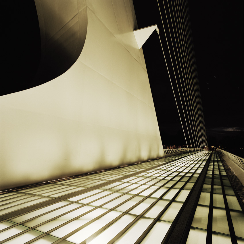
Sundial Bridge at Turtle Bay (II)

Sundial Bridge at Turtle Bay
Shasta Dam Overlook 1533

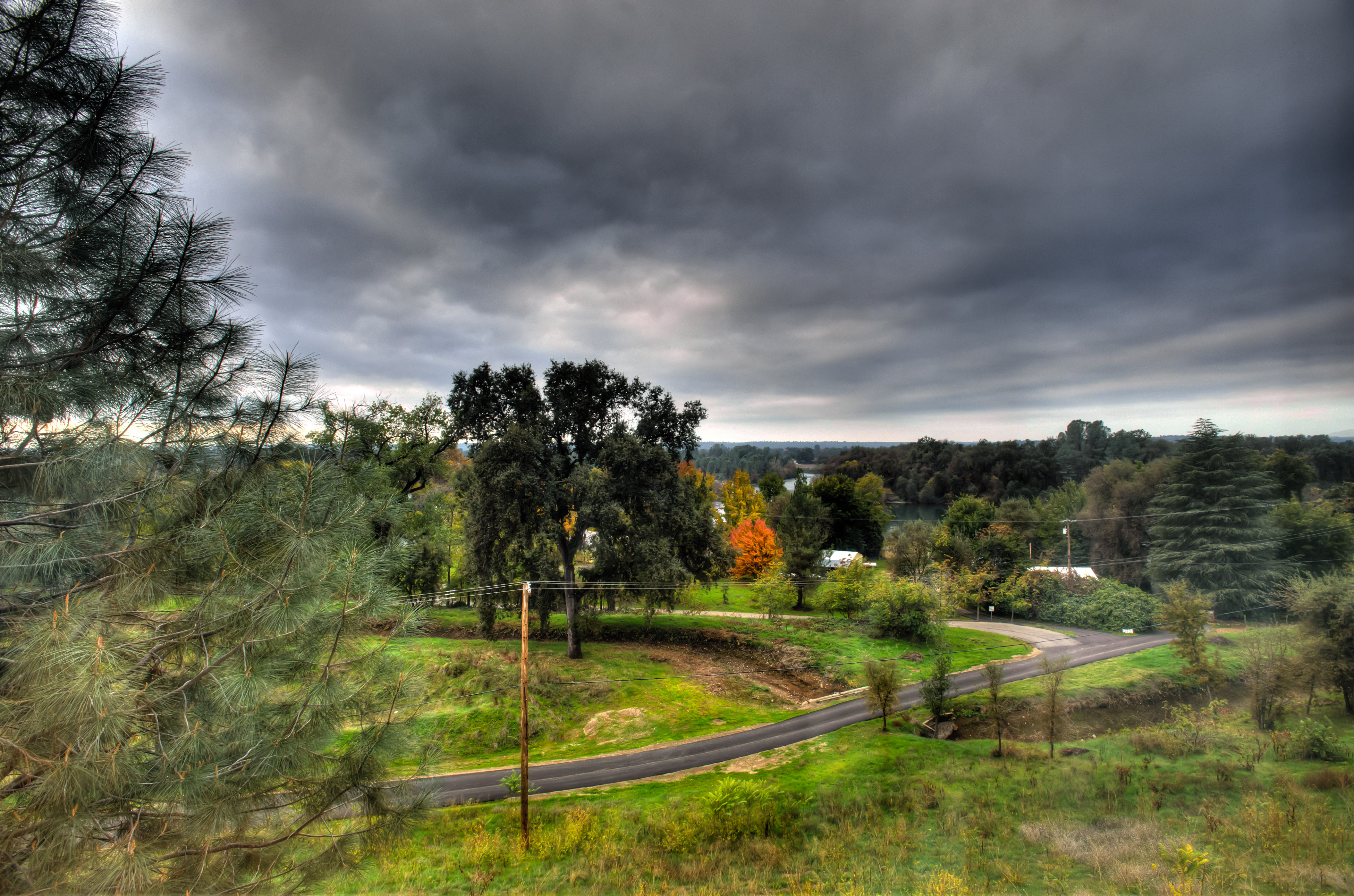
Sunset over Sacramento River

Self Portrait - 3

Mt. Shasta

Self Portrait - 2

Self Portrait - 1
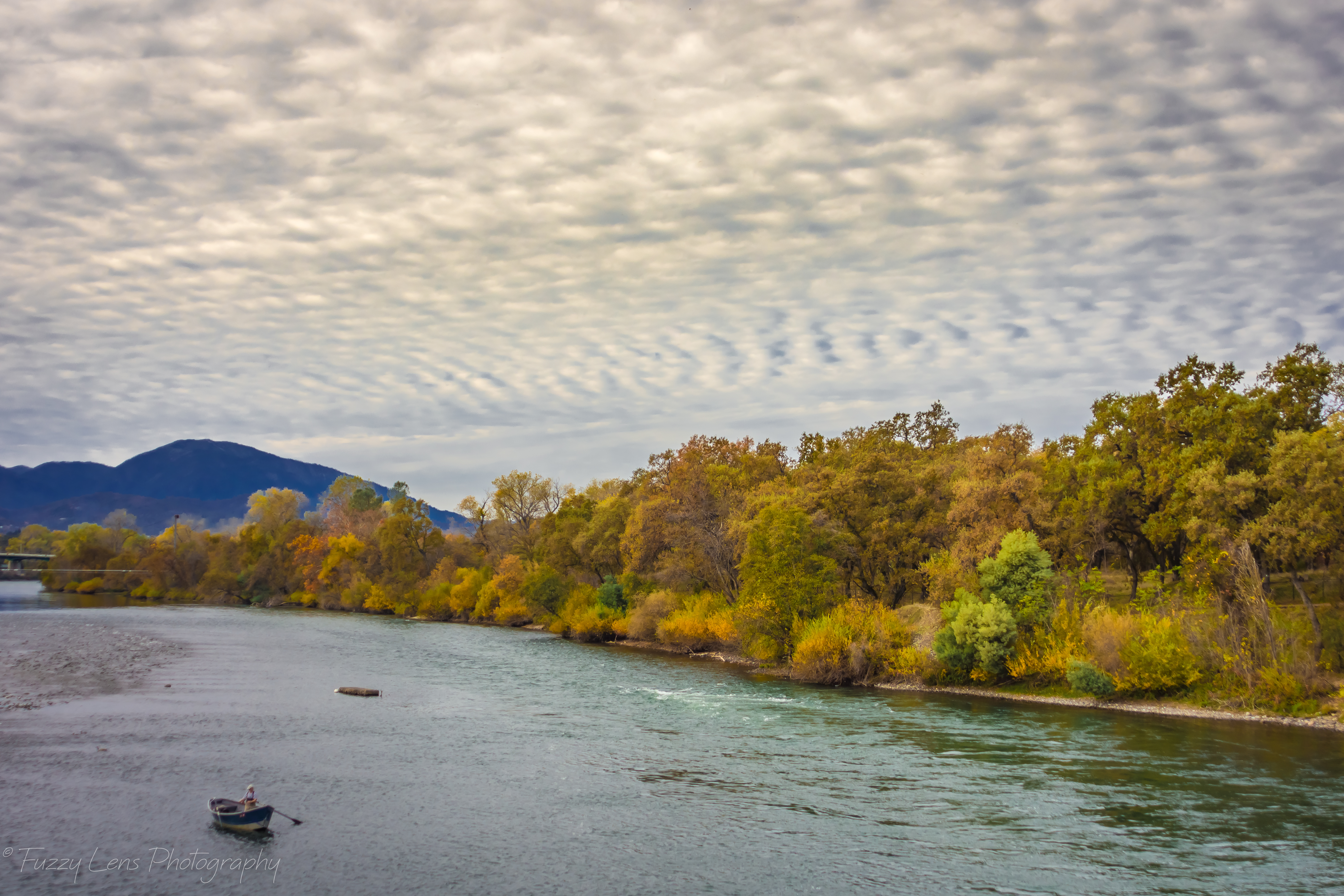
Sacramento River - Redding, CA

Interstate 5 Northbound Shasta Valley Freeway approaching 1/2 mile to Exit 695 - Packers Bay Road next right with this roadside sign located at Shasta County, California. Hiking, Boat unloading dock and anchor hooking exit ahead. Forest services, hiking,
a2003-14-27

California Winter

Calatrava's Sundial Bridge, Redding, California
Inside the Caves

Changed hotels. Here's the view from the room - sunset on the Sacramento River. #roadtrip #redding #california #hotel #view #Sacramento #river #instagold #instagood #instagram #igdaily #igaddicts #ipodtouch #ipod

Sundial Bridge Lightning, The Sundial Bridge, Redding, CA
Sundial Bridge, Redding

View just now from the hotel room. #sunset #colorful #clouds #sky #evening #winter #redding #california #roadtrip #Creation #beauty #ipod #ipodtouch #igdaily #igaddicts #instagold #instagood #instagram
Morning View

Roberts_68 Sundial Bridge
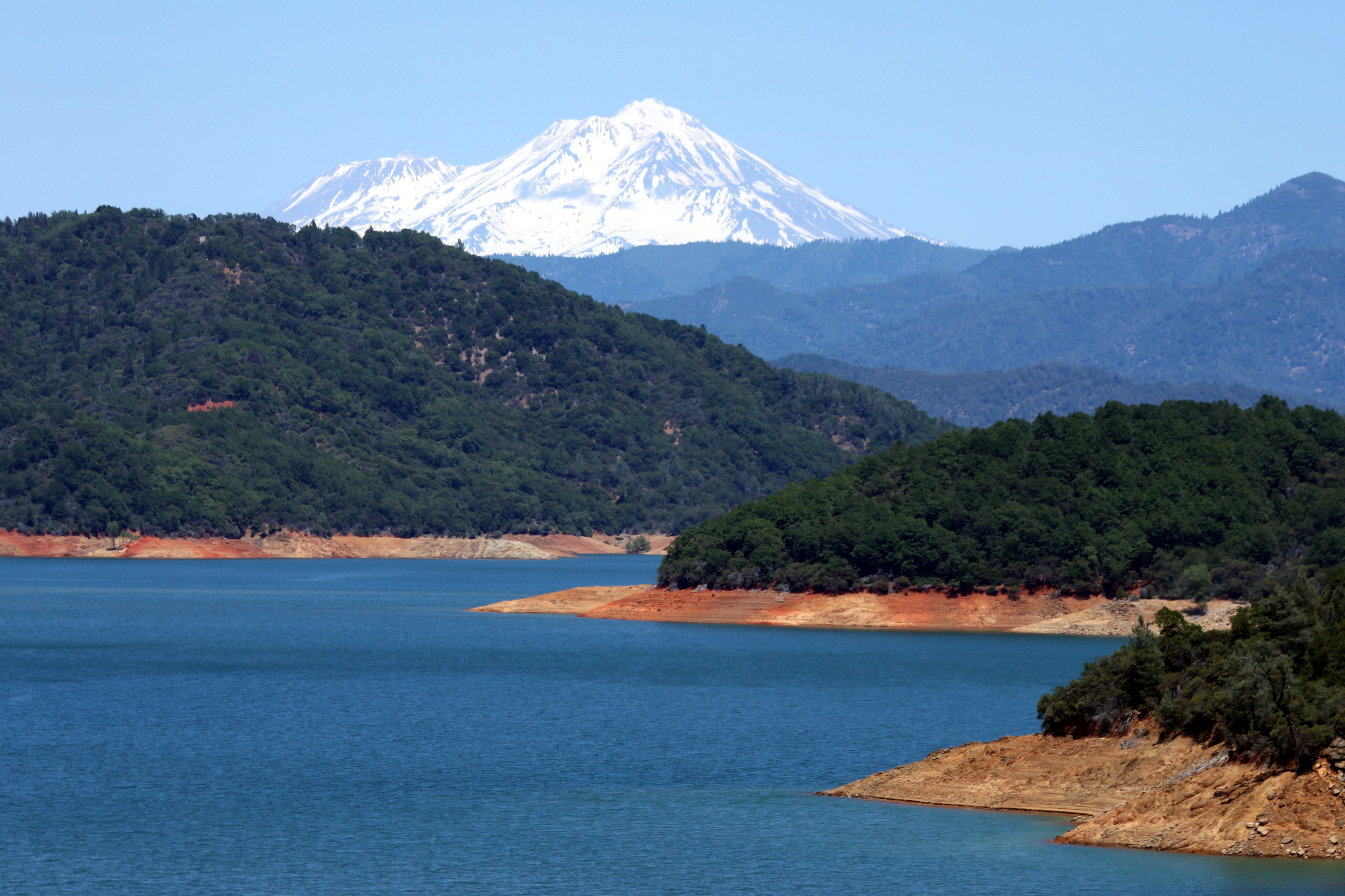
Mount Shasta
Tears of Solitude
Crystal Clear - Shasta National Forest, CA, USA

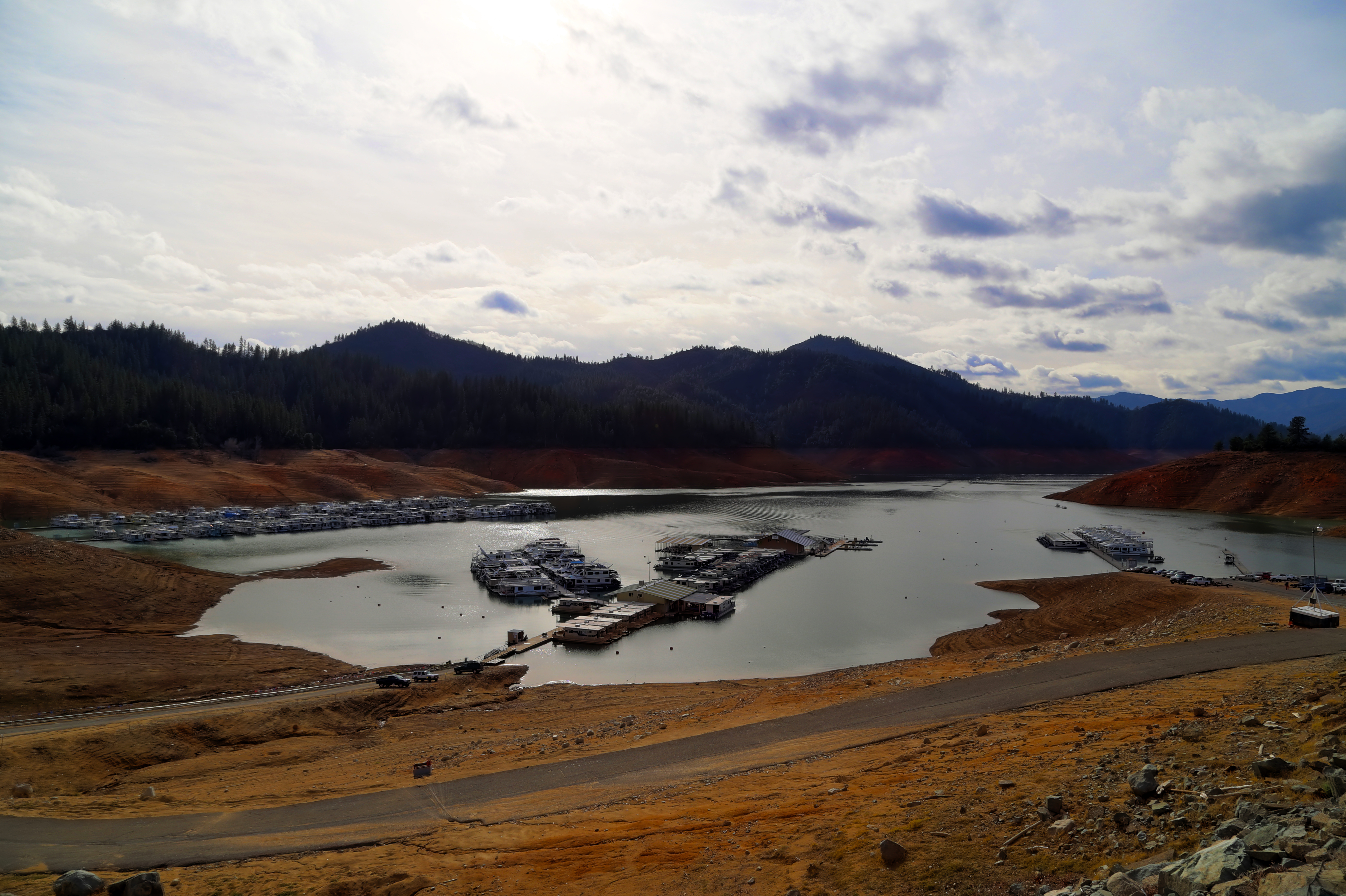
Lake Shasta

Lake Sentinel
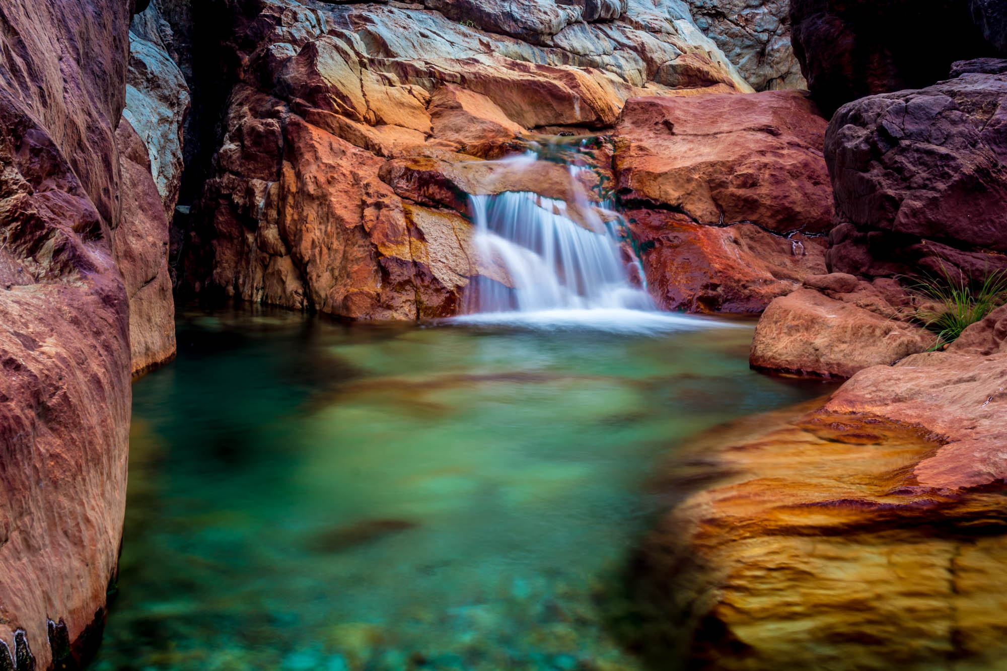
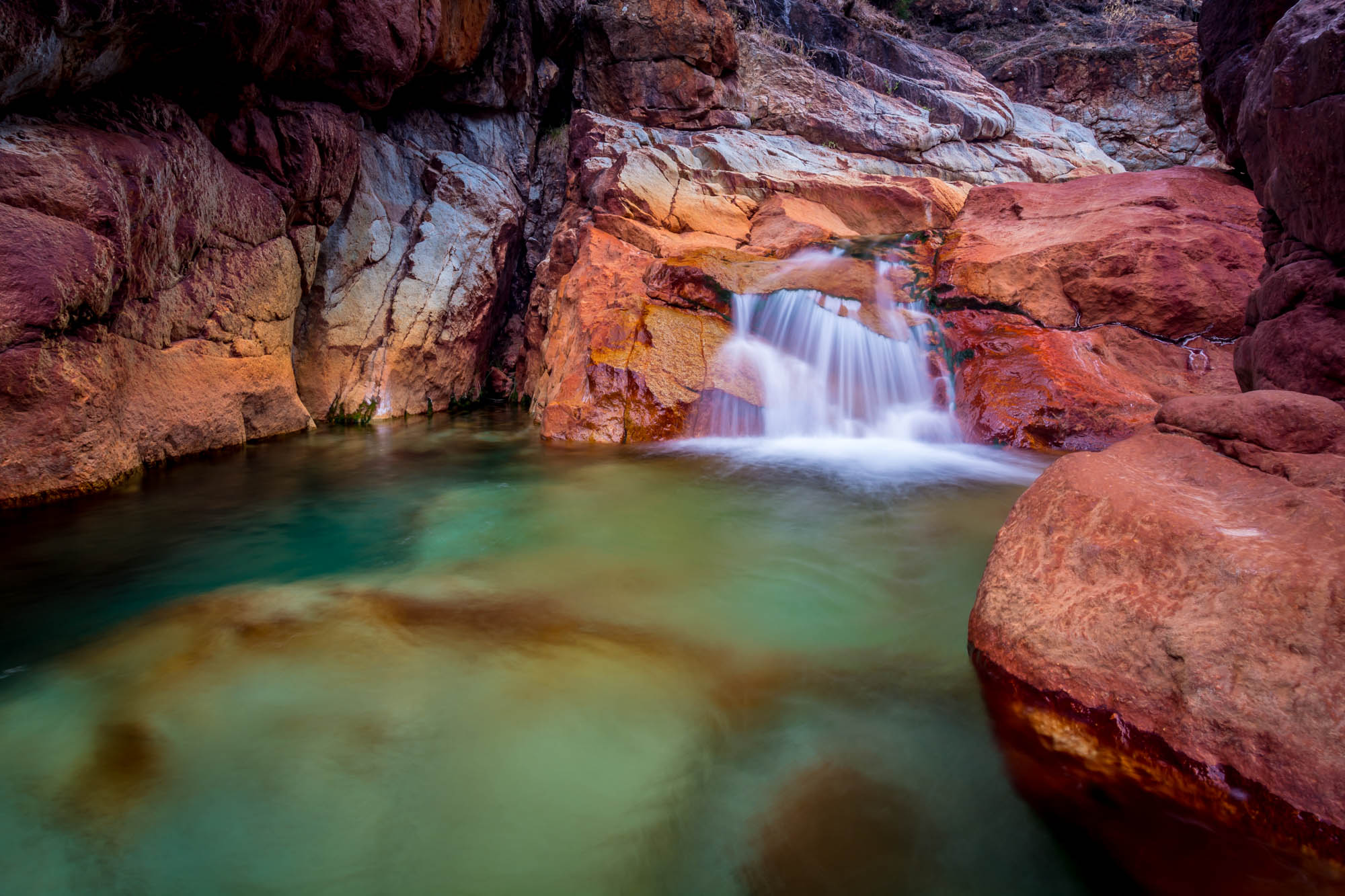
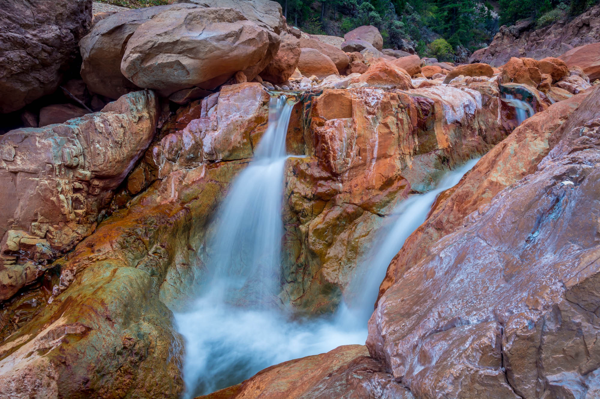
Little Backbone Creek, Shasta Lake, CA, USA
171124 Black Friday gold-001J
Towards Destiny - Shasta National Forest, CA, USA

A Path of Exploration and Learning - Turtle Bay Exploration Park - Redding, Shasta County, California
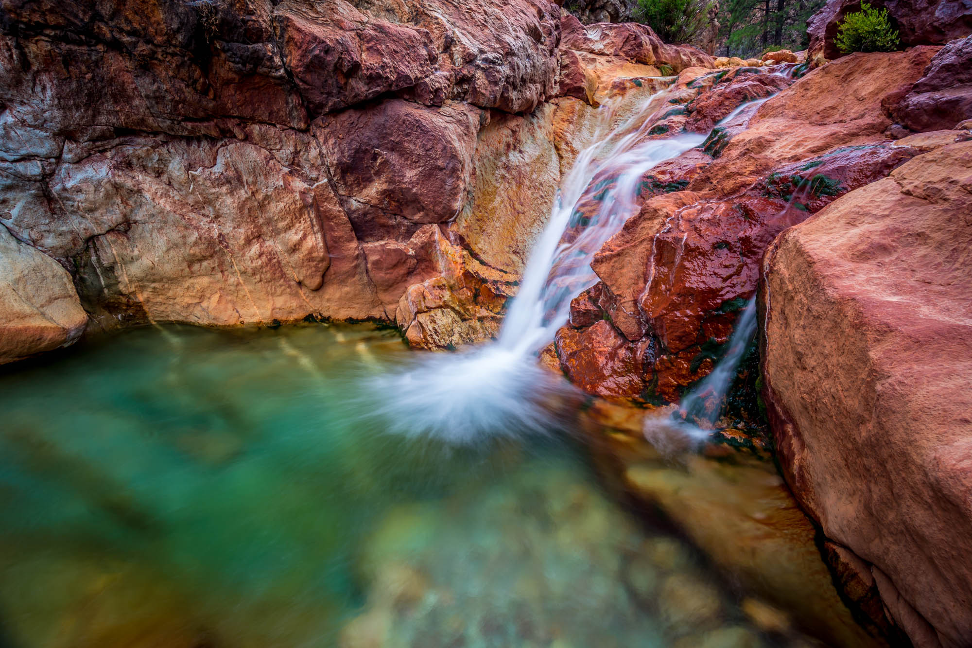
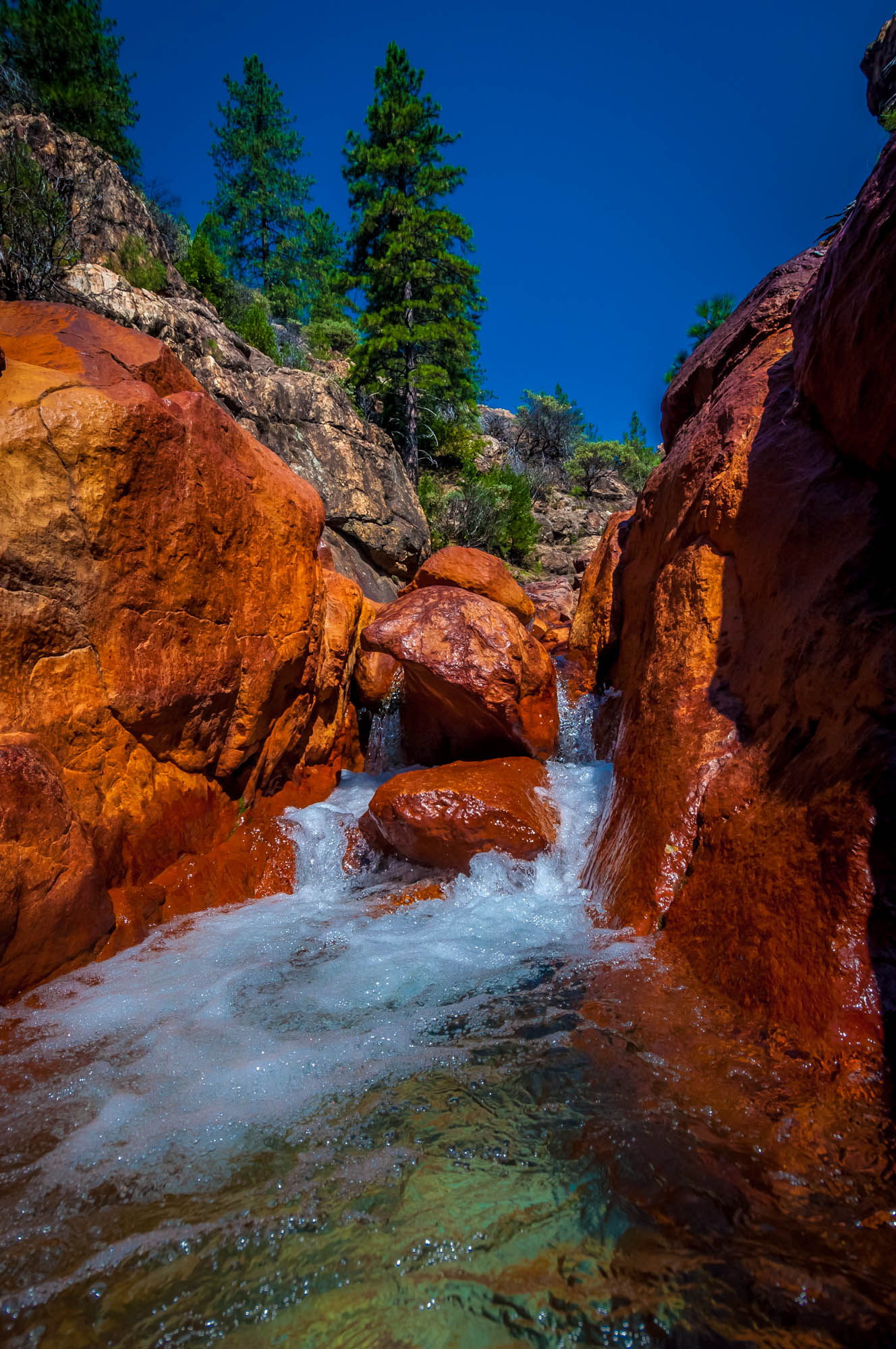
Little Backbone Creek, Shasta Lake, CA, USA
Little Backbone Creek - Shasta National Forest, CA, USA
Lake Shasta's low point
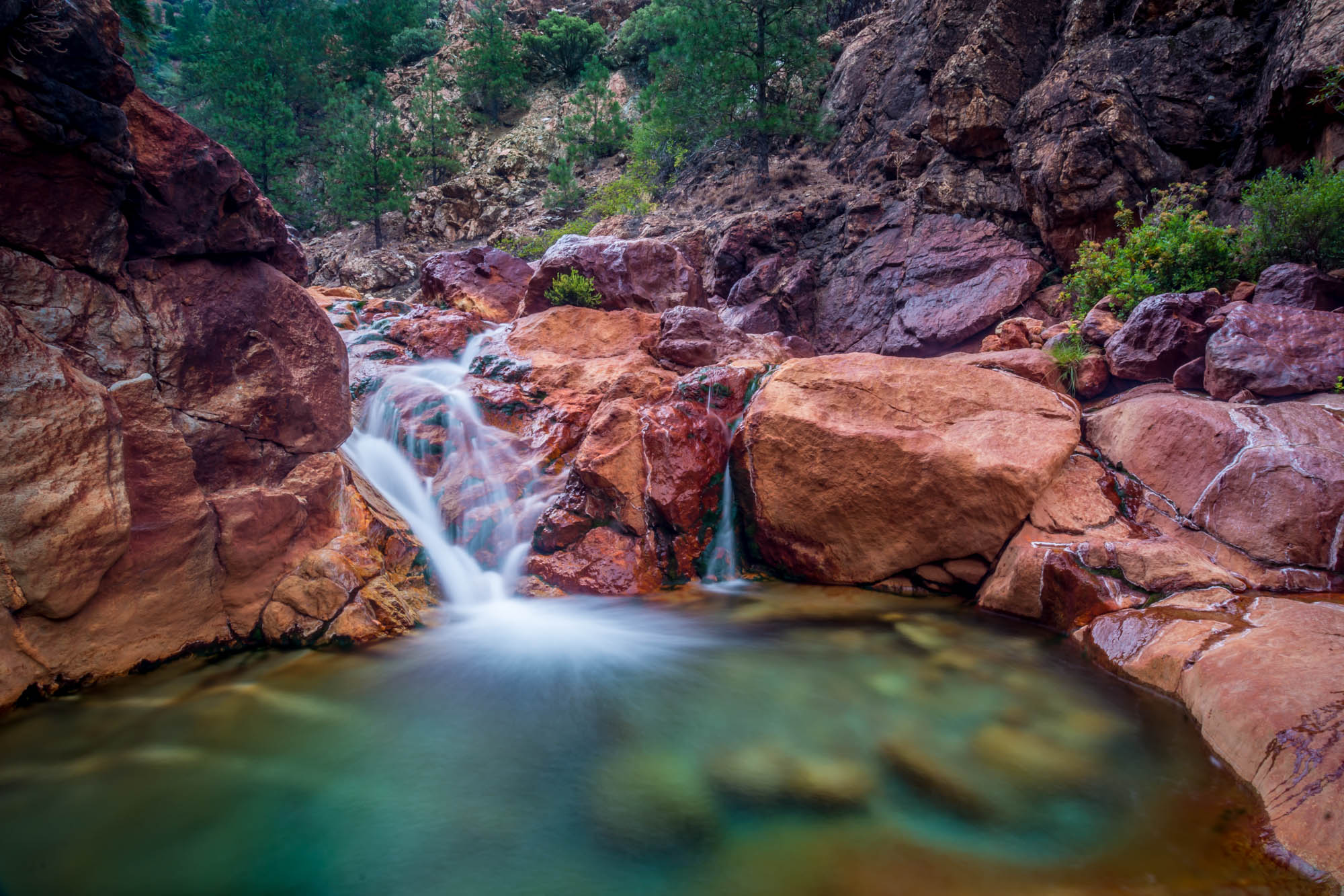
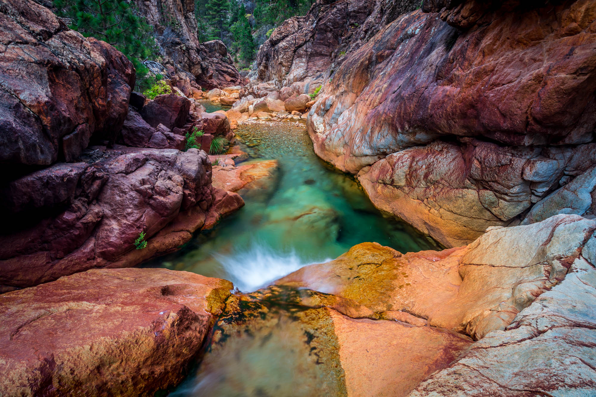
Little Backbone Creek, Shasta Lake, CA, USA
Park Lake
Lake Shasta
Shasta Lake * 18

on a street nearby......#mylittleworld #horizon #landscape. #skyblazing
46. Lake Shasta Caverns, Shasta, California
Almost there
Topographic Map of Encanto Way, Redding, CA, USA
Find elevation by address:

Places near Encanto Way, Redding, CA, USA:
12616 Los Osos St
1517 Bear Mountain Rd
1517 Bear Mountain Rd
10527 Bear Mountain Rd
13278 Bear Mountain Rd
13630 Echo Hill Rd
13416 Luna Dr
13656 Echo Hill Rd
13490 Tierra Heights Rd
19614 Natalie Way
12600 Akrich St
2300, 11555 Old Oregon Trail
Union School Road
Shasta College
13706 Four Oaks Ct
La Costa Court
11236 Old Oregon Trail
Spyglass Hills Subdivision
13826 Valley Creek Ln
14284 Indian Acres Trail
Recent Searches:
- Elevation of Corso Fratelli Cairoli, 35, Macerata MC, Italy
- Elevation of Tallevast Rd, Sarasota, FL, USA
- Elevation of 4th St E, Sonoma, CA, USA
- Elevation of Black Hollow Rd, Pennsdale, PA, USA
- Elevation of Oakland Ave, Williamsport, PA, USA
- Elevation of Pedrógão Grande, Portugal
- Elevation of Klee Dr, Martinsburg, WV, USA
- Elevation of Via Roma, Pieranica CR, Italy
- Elevation of Tavkvetili Mountain, Georgia
- Elevation of Hartfords Bluff Cir, Mt Pleasant, SC, USA