Elevation of Dorothy Ln, Redding, CA, USA

Location: United States > California > Shasta County > Redding >

Longitude: -122.28157

Latitude: 40.704804

Elevation: 286m / 938feet

Barometric Pressure: 98KPa

Elevation Map:

elevation map of Dorothy Ln, Redding, CA, USA

Satellite Map:

Satellite map of Dorothy Ln, Redding, CA, USA

Related Photos:

california bridge sunrise calatrava redding sundialbridge
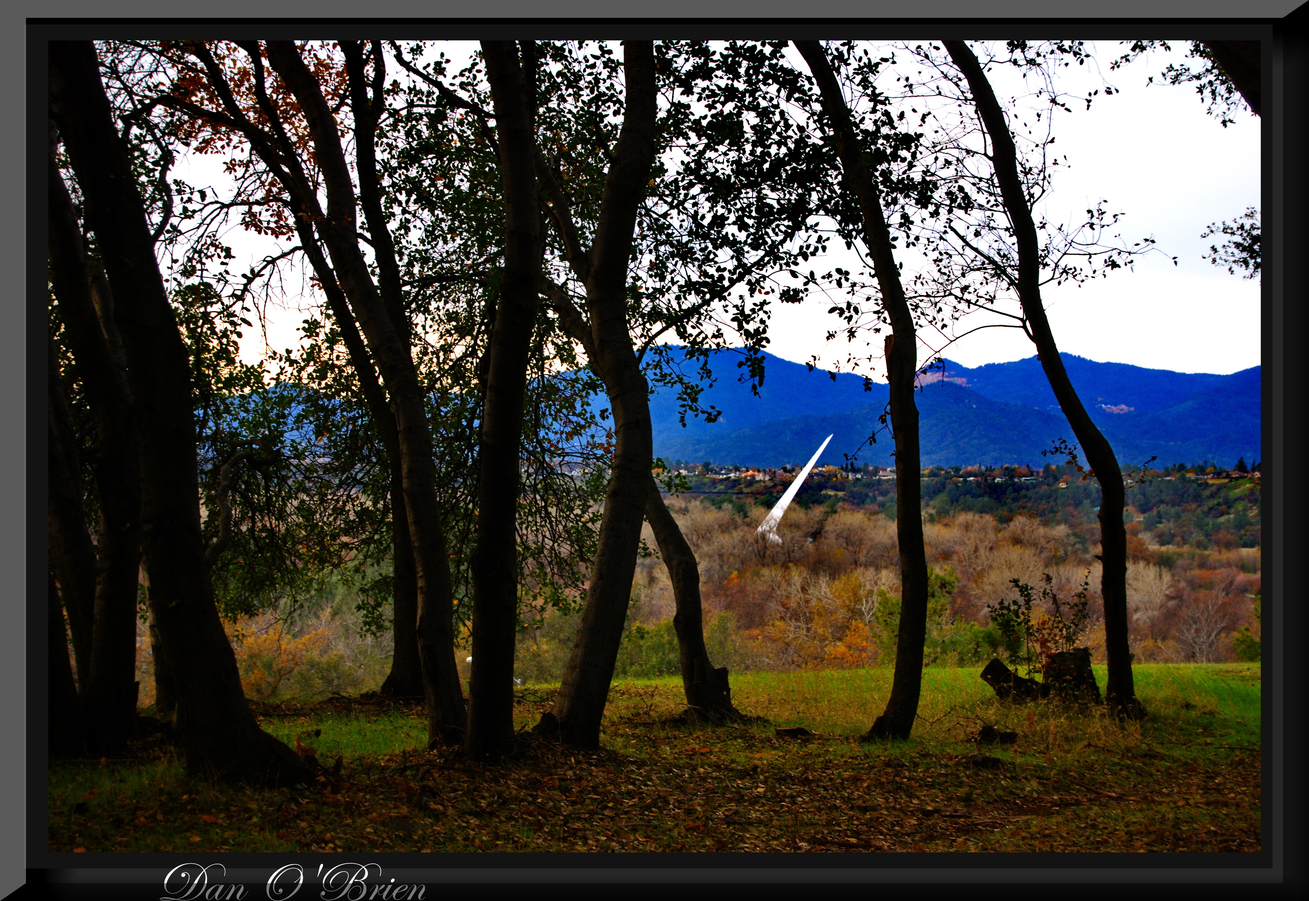
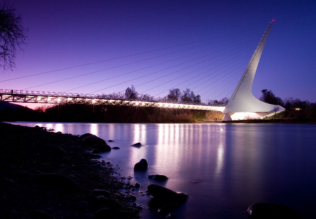
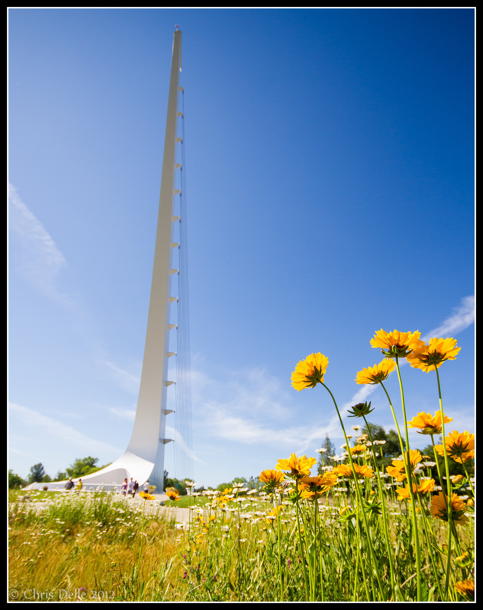
Calatrava's Sundial Bridge, Redding, California
square toaster squareformat iphoneography instagramapp uploaded:by=instagram foursquare:venue=4ea77bd95c5cc8e498cabe72
View from the overflow. Who'd have though you wouldn't be able to find a seat at an 8.30am service. Love this place!
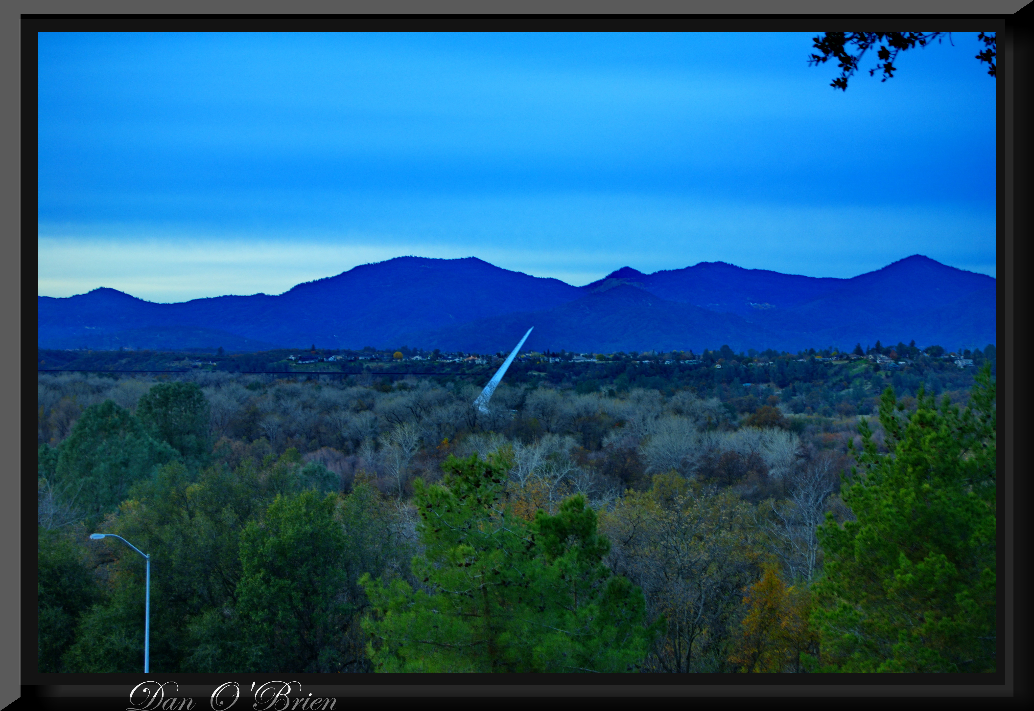
california bridge sky detail reflection photo graphic suspension cable redding santiagocalatrava sacramentoriver novideo sundialbridge photosonly
Sundial in Blue
california blue trees vacation sky usa white mountain lake snow reflection green water beautiful pine america forest river season relax energy rocks peace power flood dam peaceful drop calm falls fresh resort clear mount hydro shore valley shasta romantic rest serene sacramento relaxation northern redding irrigation hydroelectric spillway
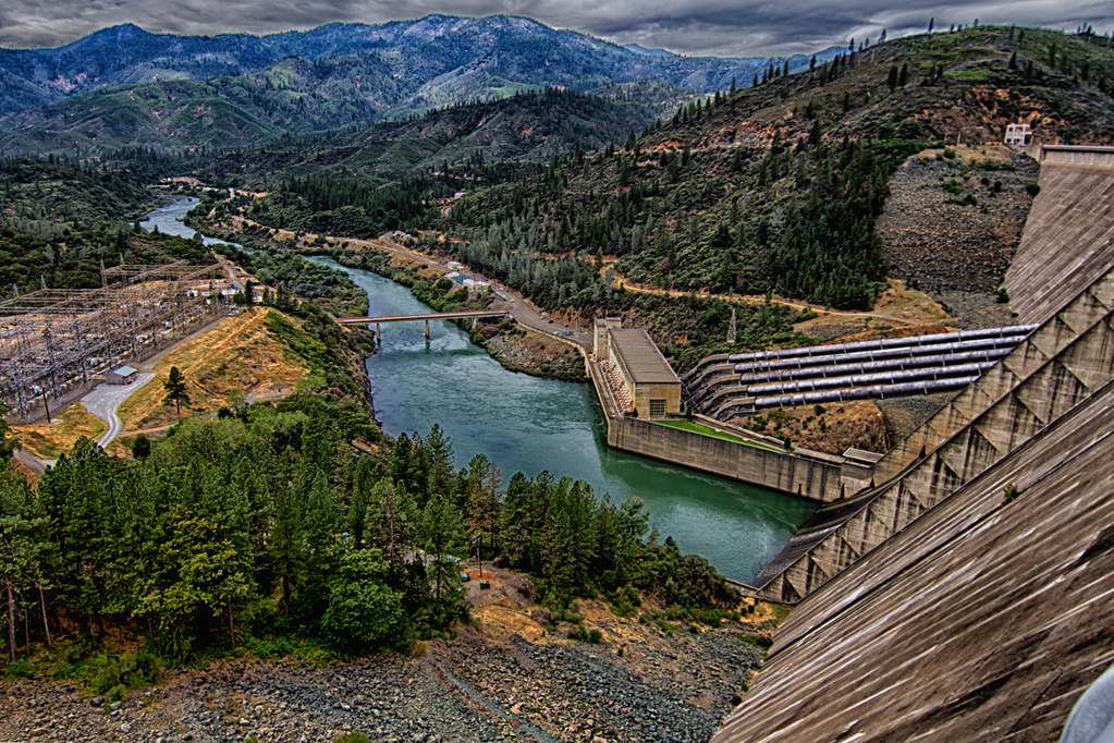
Shasta Dam Overlook 1533
square squareformat normal iphoneography instagramapp uploaded:by=instagram foursquare:venue=4b0e1a9bf964a520085523e3
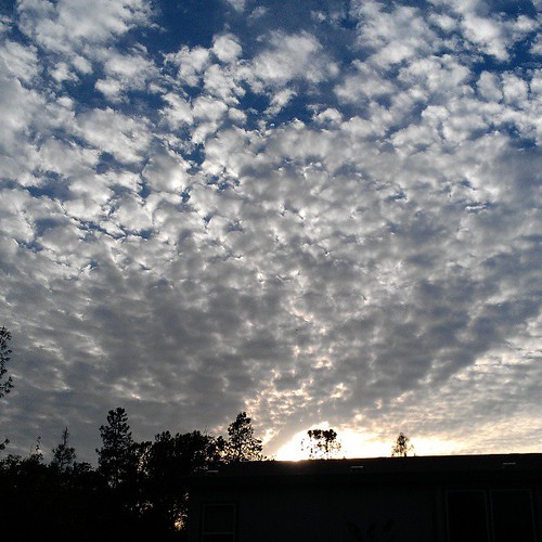
View just now from the hotel room. #sunset #colorful #clouds #sky #evening #winter #redding #california #roadtrip #Creation #beauty #ipod #ipodtouch #igdaily #igaddicts #instagold #instagood #instagram
Roberts_68 Sundial Bridge
square squareformat iphoneography instagramapp uploaded:by=instagram
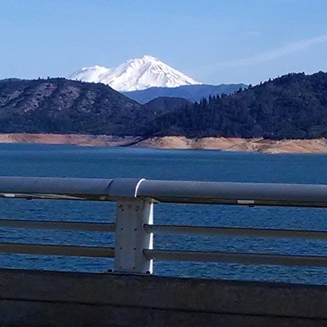
A beautiful view of Mt. Shasta from Shasta Dam.
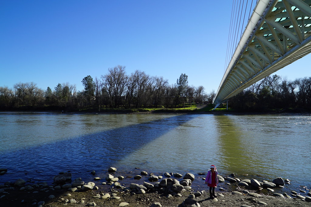
Sundial Bridge at Turtle Bay Exploration Park facing Sacramento River west view in Redding, California.
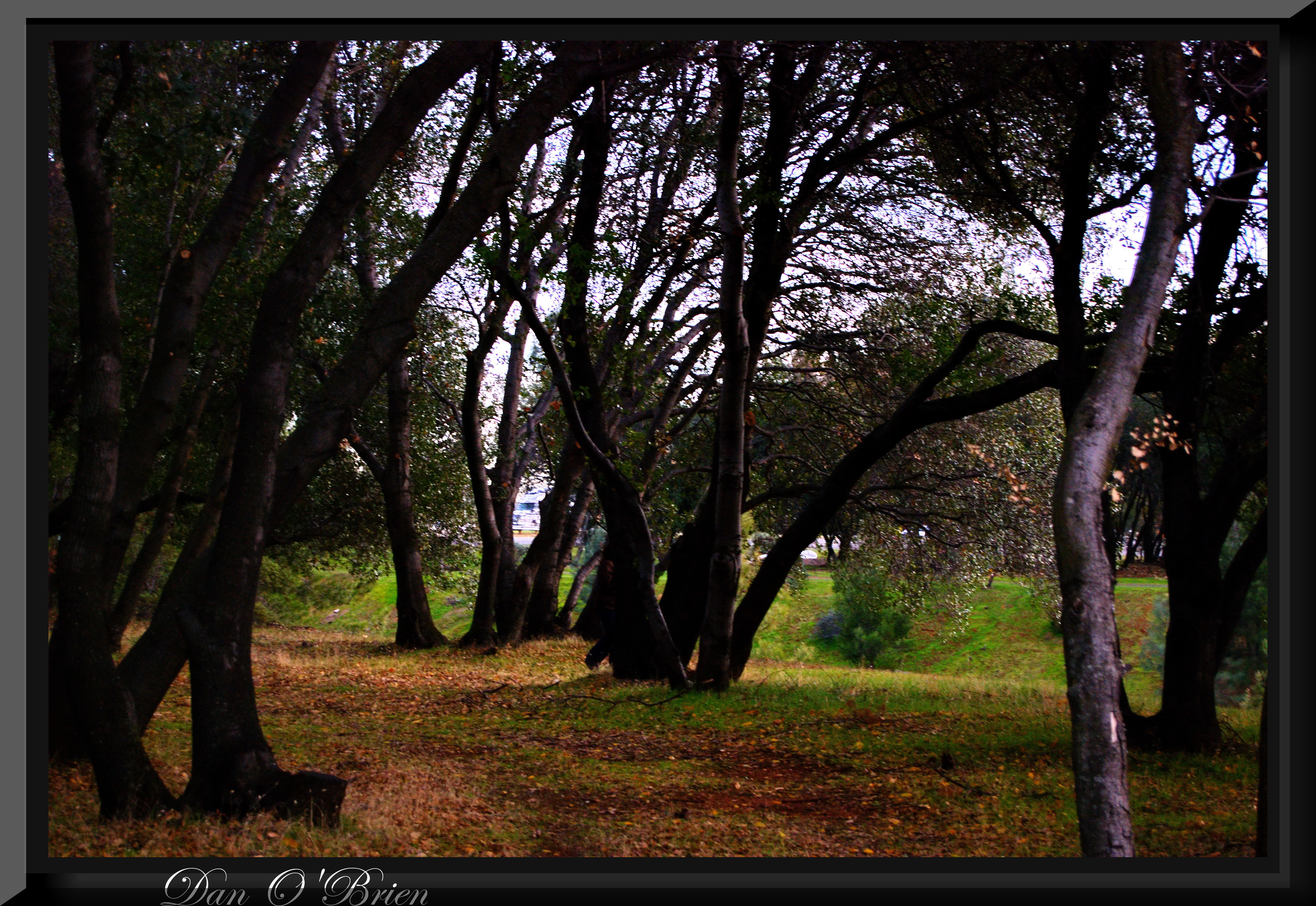
california bridge flickr group vietnam starbucks obrien dodge northern redding durango veterans users according owners acdsee d80 imagekind obd80 usersnilon
O'B (5)
Sundial Bridge at Turtle Bay Exploration Park facing west view in Redding, California.
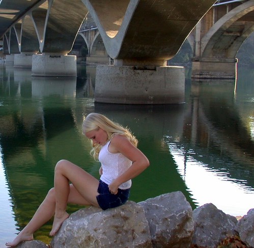
california ca 2001 bridge people favorite reflection girl landscape geotagged nikon blond gwc redding favorited e995 dcsaint views805whenaddedtoviewsgroup
Girl By Bridges
california bridge flickr group vietnam starbucks obrien dodge northern redding durango veterans users according owners acdsee d80 imagekind obd80 usersnilon
O'B (7)
geotagged reddingca cliffswallow petrochelidonpyrrhonota pentaxsp1000 soligor200mmƒ35
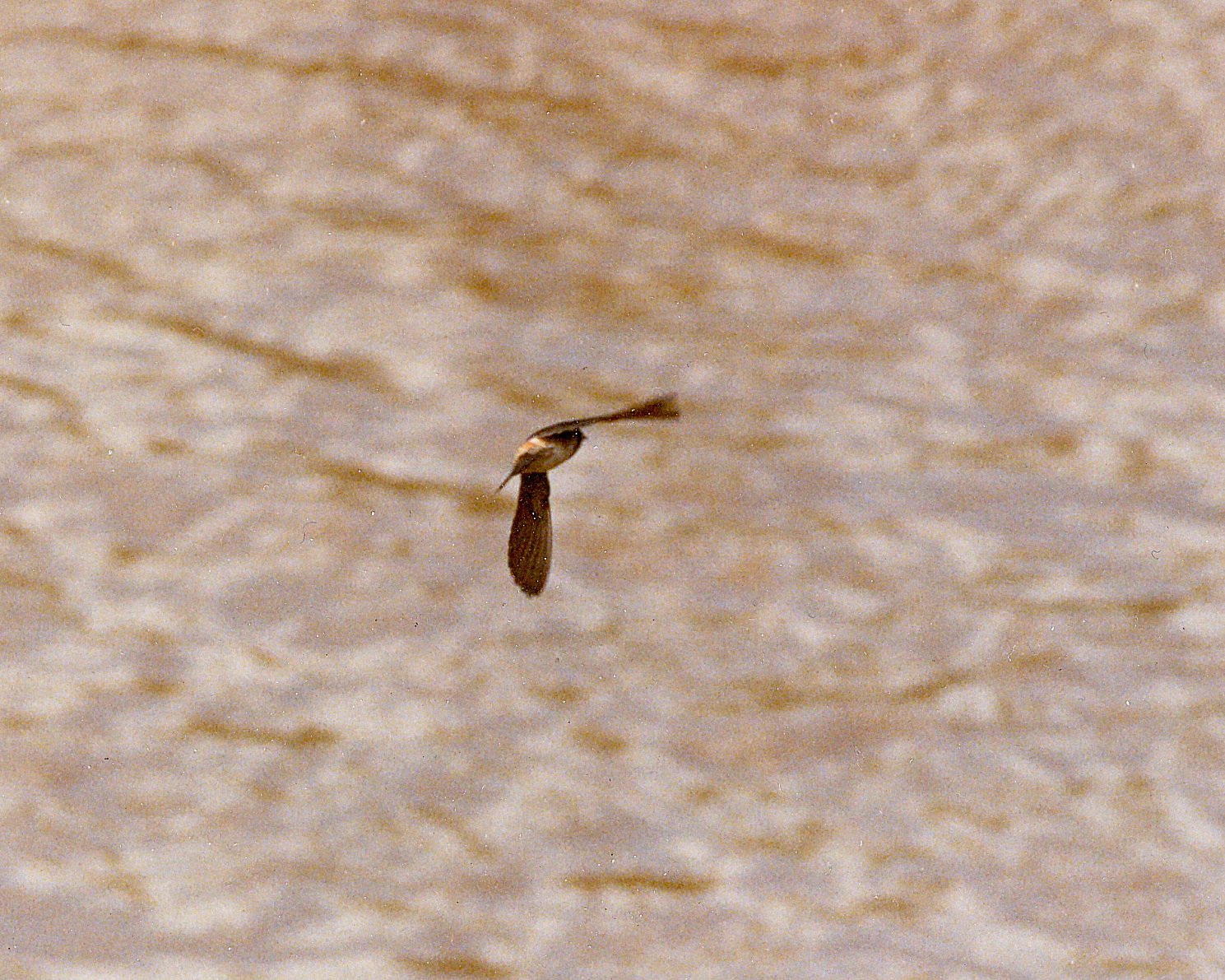
Cliff Swallow Redding 1991 7
vacation dog pet window animal bed view cjdickson cajodi caroldickson caroljdickson
View from the top
square squareformat iphoneography instagramapp uploaded:by=instagram theknottyknitters theknottyknitter theknotyknitter knottyknitter
The view leaving moms house today.
Sundial Bridge at Turtle Bay Exploration Park facing north view in Redding, California.
Interstate 5 Northbound Shasta Valley Freeway approaching Exit 681 - Twin View Blvd. 1/2 mile, Exit 682 - Oasis Road 1 1/2 miles and Exit 684 - Pine Grove Avenue 3 miles with this roadside sign located at Shasta County - Redding, California.
california bridge flickr group vietnam starbucks obrien dodge northern redding durango veterans users according owners acdsee d80 imagekind obd80 usersnilon
O'B (20)
california blue winter panorama usa mountain snow river redding sonya500 sundialbrige antonioesposito
California Winter
flyfishing sacramentoriver activeassignmentweekly
FOOTBALL SEASON ON THE LOWER SACRAMENTO RIVER
california portrait blackandwhite woman redding poeple minolta50mmf17 sonyalphaa500 antonioesposito
Model For A Day
california longexposure travel vacation water river landscape photography nikon stream unitedstates shastalake frenchgulch d7100 littlebackbonecreek
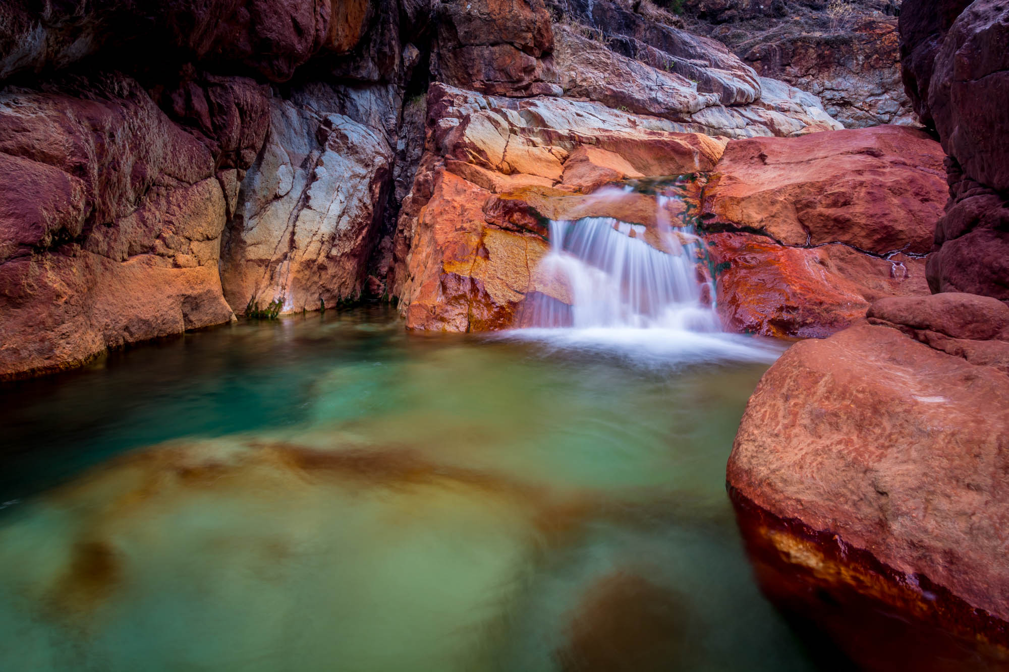
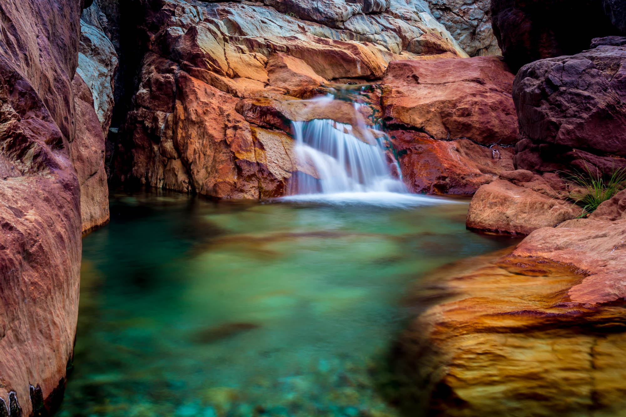
Crystal Clear - Shasta National Forest, CA, USA
california longexposure travel vacation water landscape photography waterfall nikon rocks unitedstates shastalake frenchgulch d7100 photographersontumblr
Tears of Solitude
southernpacific amtrak gp60 sp spshastaroute shastacascadewonderland excursiontrain emd amtk amtrakexcursion railroads trains trestle
Almost there
california lake marina jones fisheye trail valley shasta lakeshasta iphone johnk photojojo jonesvalley iphone4 lakeshastacalifornia clikapudi hipstamatic ina69 ina69film photojojofisheye johnklens clikapuditrail clickapudi clickapaudi jonesvalleymarina
Hipstamatic Jones Valley
turtlebay architecture sundialbridge redding bridge print bw california unitedstates us
Sundial Bridge
city longexposure bridge light sunset sky art water architecture night canon river landscape lights scenic wideangle calif citylights 7d bluehour redding nite starburst citylight northerncalif top20longexposure the4elements tripodleg architecturual elementsorganizer
Sundial Bridge Redding Ca.
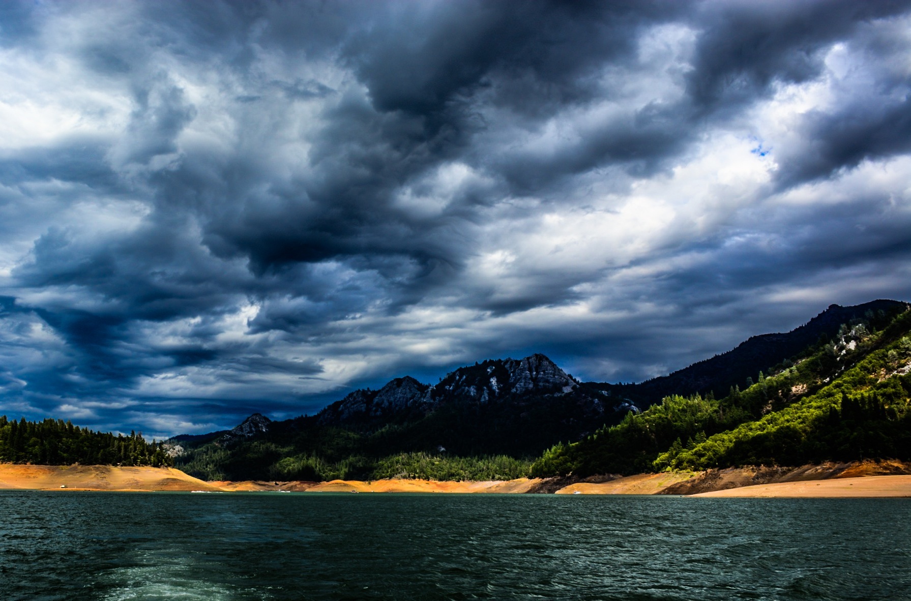
california park trees sky water clouds landscape unitedstates hill redding shastalake morleyhistorical
Lake Sentinel
california ca trees sunset nature colors clouds sunrise canon landscape eos mirror pond pretty scenic norcal westcoast redding f28 14mm 14l f28l simpsonuniversity 5dmkiii 5dmk3 5d3 5dmarkiii 5dmark3
Sunrise at Simpson [03.30.13]
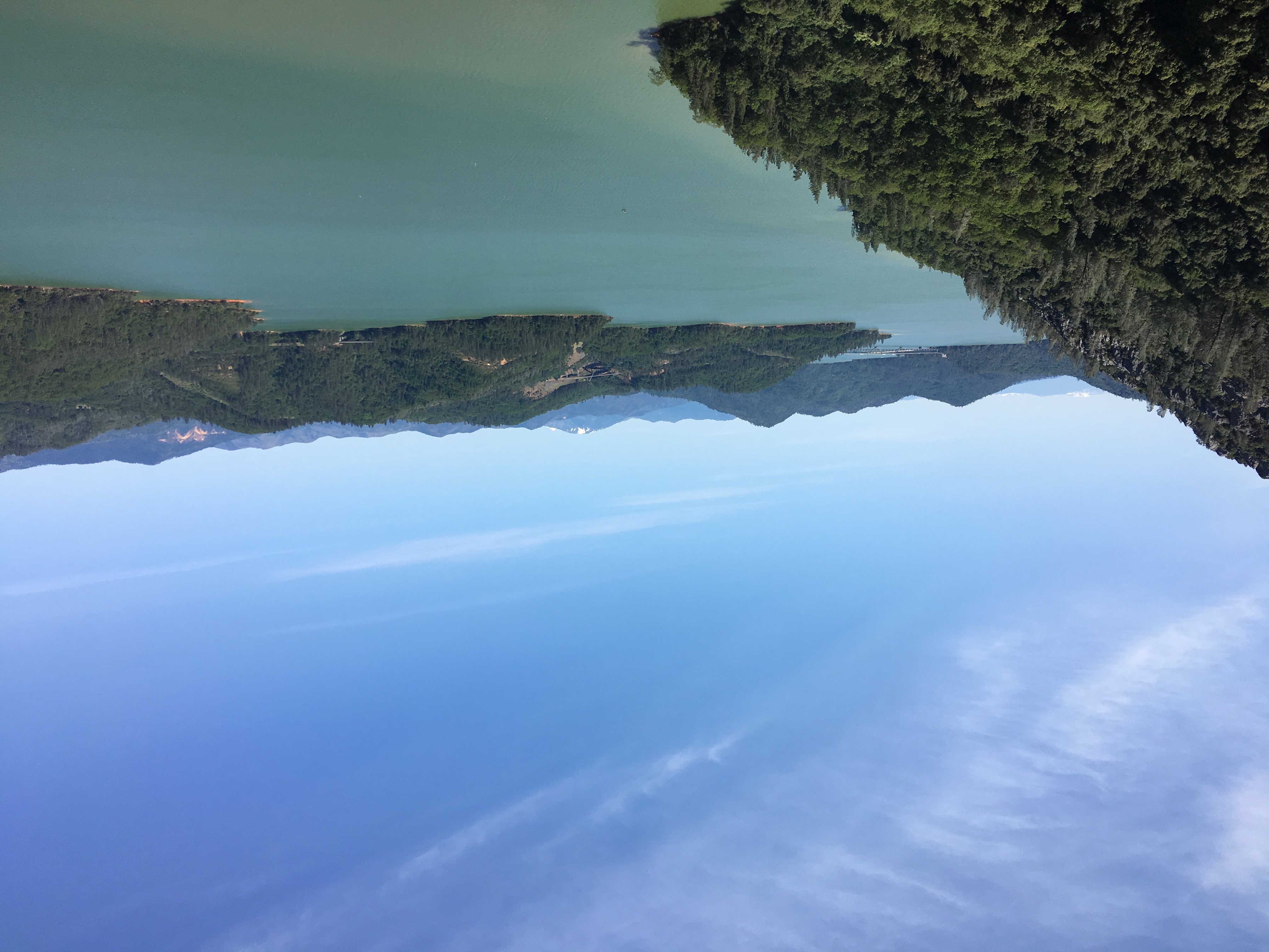
shastalake california unitedstates us landscape sky clouds lake water
Lake Shasta
california shastalake shastacaverns shastalakecalifornia hipstamatic ina69 ina69film hipstamatic210 johnklens
Hipstamatic 210 Holiday Harbor Panorama
california bridge sunset topv111 river geotagged sundial calatrava sacramento redding sacramentoriver sundialbridge geolat40590932 geolon122377739 nikonstunninggallery
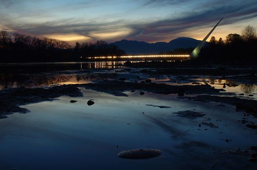
Sundial Bridge / Sacramento River
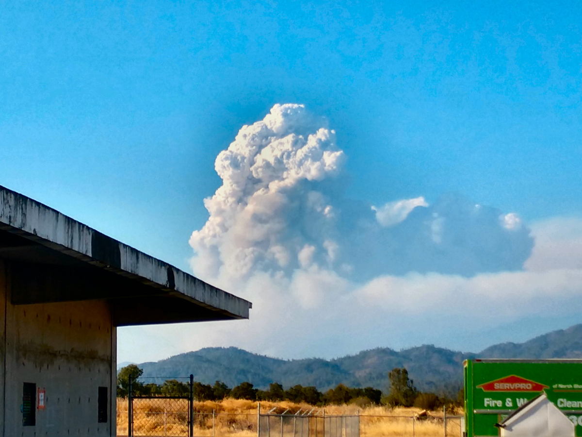
SERVPRO-Fire-Water-Damage-Biohazard-Cleaning-Restoration-Company-Redding-California-Photos-131
46. Lake Shasta Caverns, Shasta, California
california us sony fullframe mountshasta a7s joeyahoo sonya7s joeaikkaravelil
Mount Shasta
whiskeytown reddingcalifornia
Random photography
california road ca trees mountains nature forest 35mm canon landscape eos vanishingpoint pretty boulevard dam f14 scenic downhill national valley shasta norcal steep 35l f14l 5dmkiii 5dmk3 5d3 5dmarkiii 5dmark3
Shasta Dam Boulevard [03.28.13]
california flowers landscape spring unitedstates redding sundialbridge
Sundial Spring
california bokeh quote song daisy thesmashingpumpkins redding 2009 flowergarden sundialbridge natureycrap photoshootwithjillianpoitras lotsandlotsandlotsofflowers snaillyric
Flower Save the Hours
california us sony fullframe mountshasta a7s joeyahoo sonya7s joeaikkaravelil
Mount Shasta
california road park ca november autumn fall ess bikepath bike forest river walking landscape landscapes shaped hiking path walk exploring curves topv999 hike explore trail paths curve shape curved intimate exploration redding 100400mm sacramentoriver rivertrail turtlebay biketrail shastacounty landscapephotography forested turtlebayexplorationpark cityofredding
A Path of Exploration and Learning - Turtle Bay Exploration Park - Redding, Shasta County, California