Elevation of Oscar Pl, Redding, CA, USA
Location: United States > California > Shasta County > Redding >
Longitude: -122.26751
Latitude: 40.6948479
Elevation: 306m / 1004feet
Barometric Pressure: 98KPa
Elevation Map:
Satellite Map:
Related Photos:

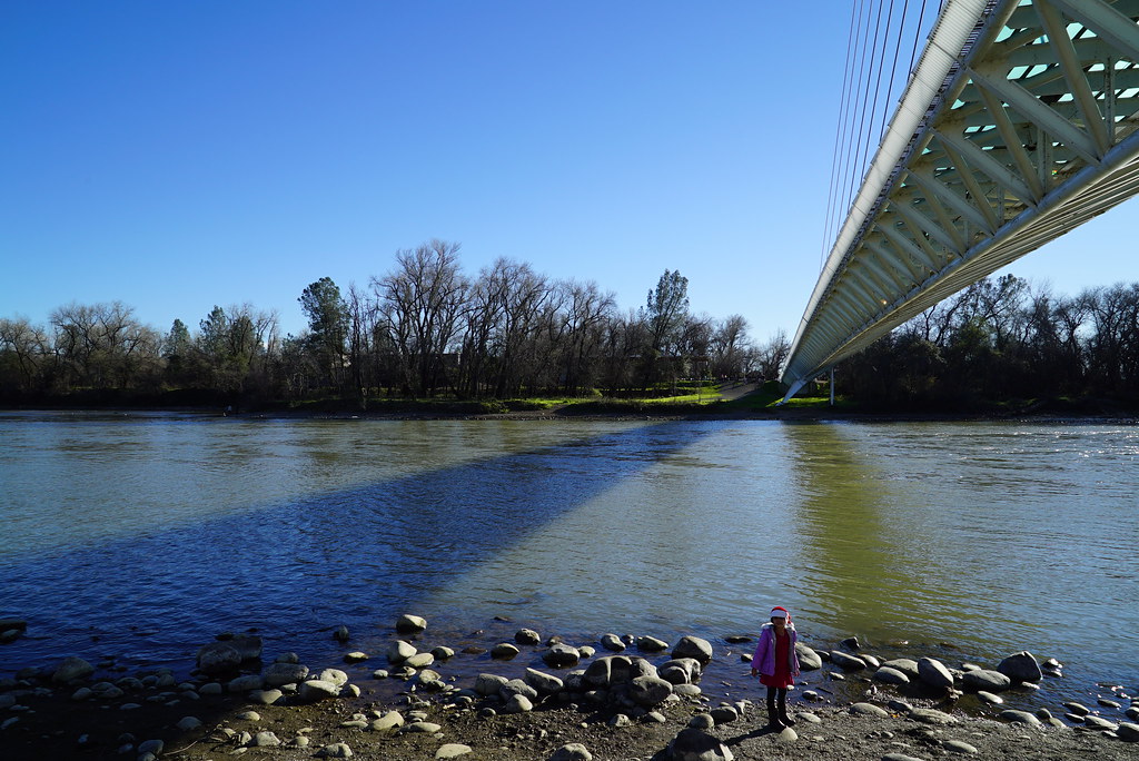
Sundial Bridge Lightning, The Sundial Bridge, Redding, CA
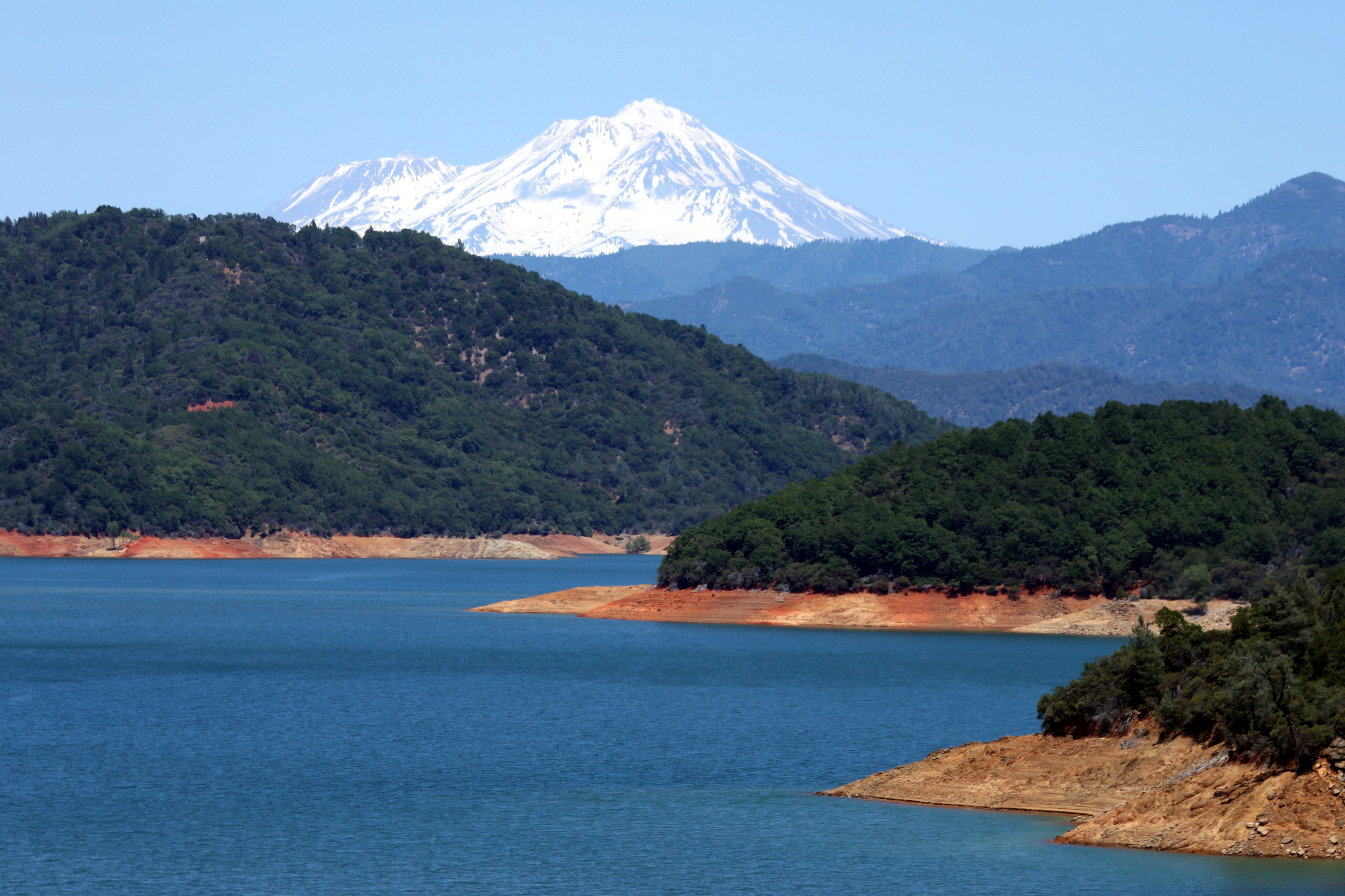
Mount Shasta

Interstate 5 Southbound Shasta Valley Freeway approaching 1/4 = 0.25 mile to Exit 681A - Twin View Blvd. followed by Exit 680 - State Highway Junction Route CA-299 Lake Blvd. 3/4 = 0.75 miles with this overhead sign located at

Mt. Shasta
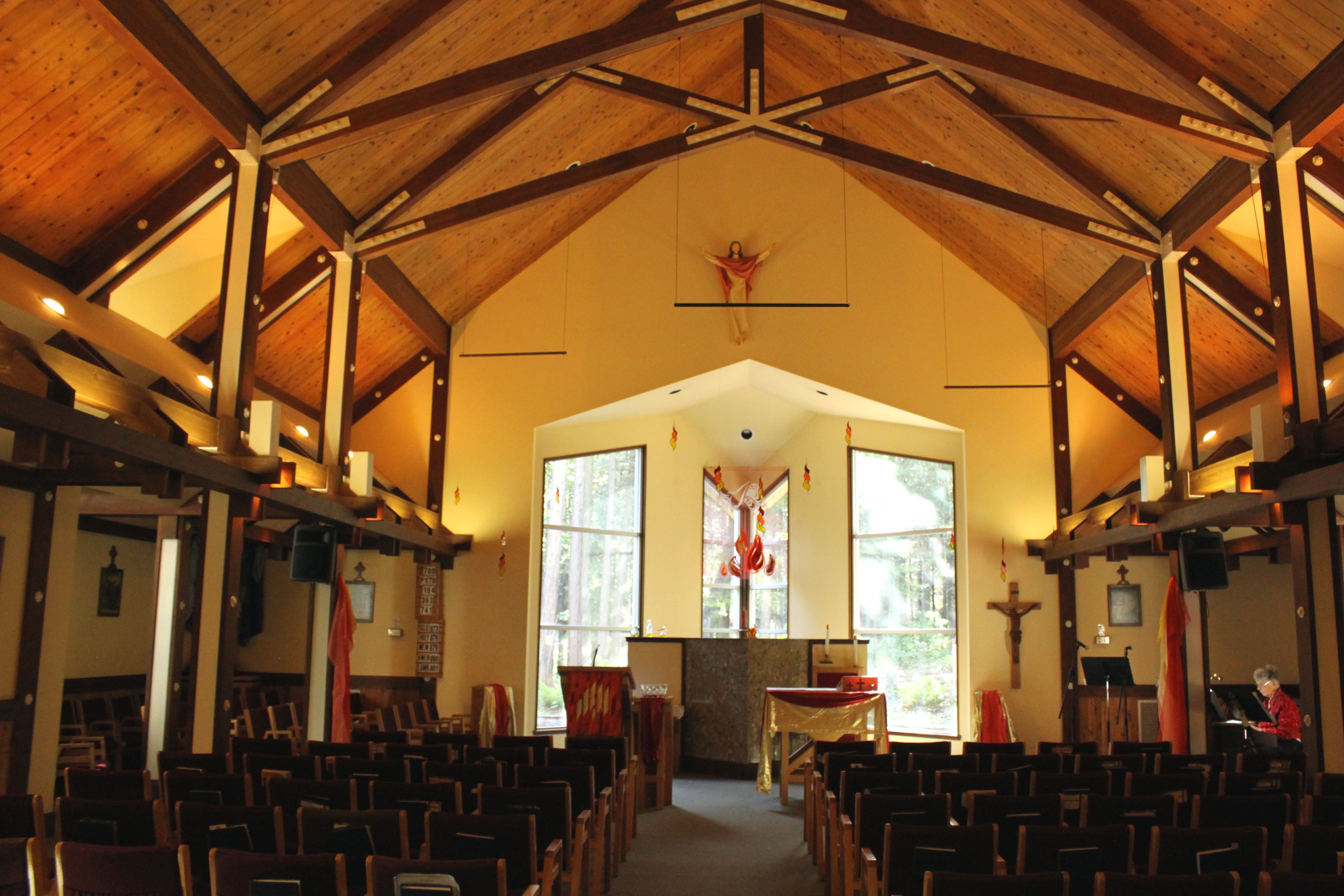
Our Lady of Mercy Parish

Interstate 5 Northbound Shasta Valley Freeway approaching 1/2 mile to Exit 695 - Packers Bay Road next right with this roadside sign located at Shasta County, California. Hiking, Boat unloading dock and anchor hooking exit ahead. Forest services, hiking,

Interstate 5 Southbound Shasta Valley Freeway approaches at Exit 681A - Twin View Blvd. Exit 45 MPH with this roadside sign located at Shasta County - Redding, California.

Interstate 5 Northbound Shasta Valley Freeway approaching Exit 680 - State Highway Junction Route CA-299 1/2 mile, Exit 681 - Twin View Blvd. 1 1/2 miles and Exit 682 - Oasis Road 2 1/2 miles with this roadside sign located at Shasta County - Redding, Cal

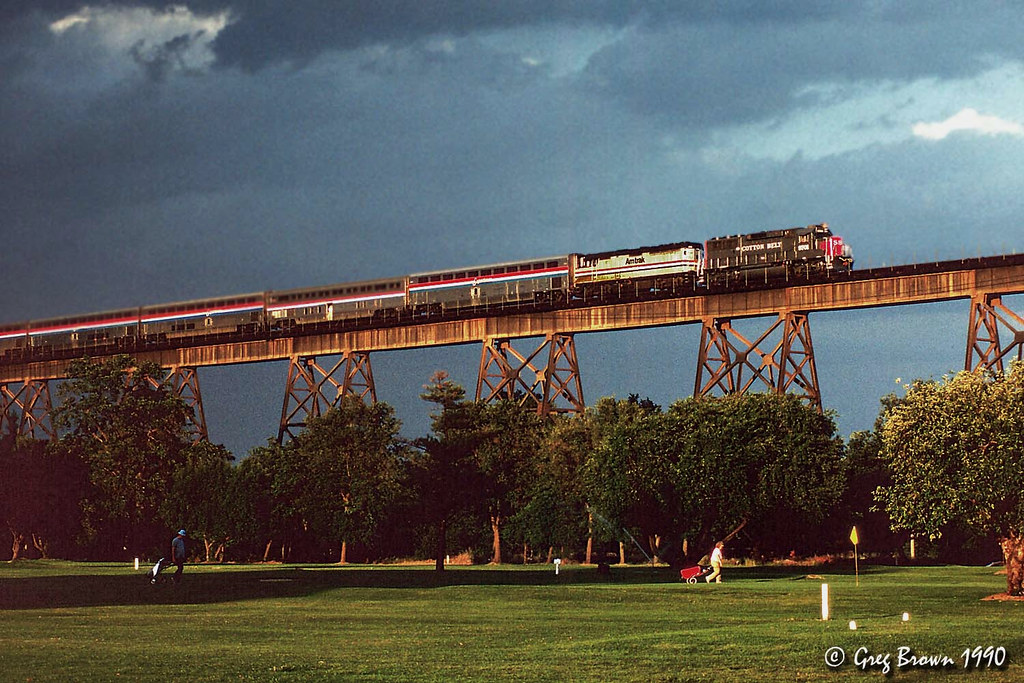
Calatrava's Sundial Bridge, Redding, California
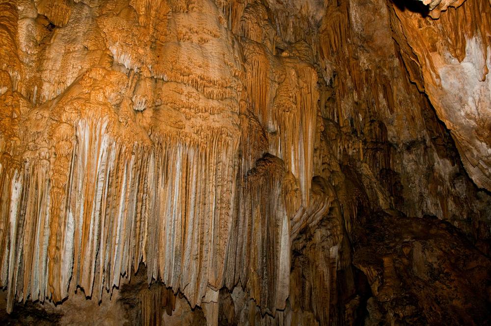
Inside the Caves

Sundial Bridge at Turtle Bay (II)

Sundial Bridge at Turtle Bay
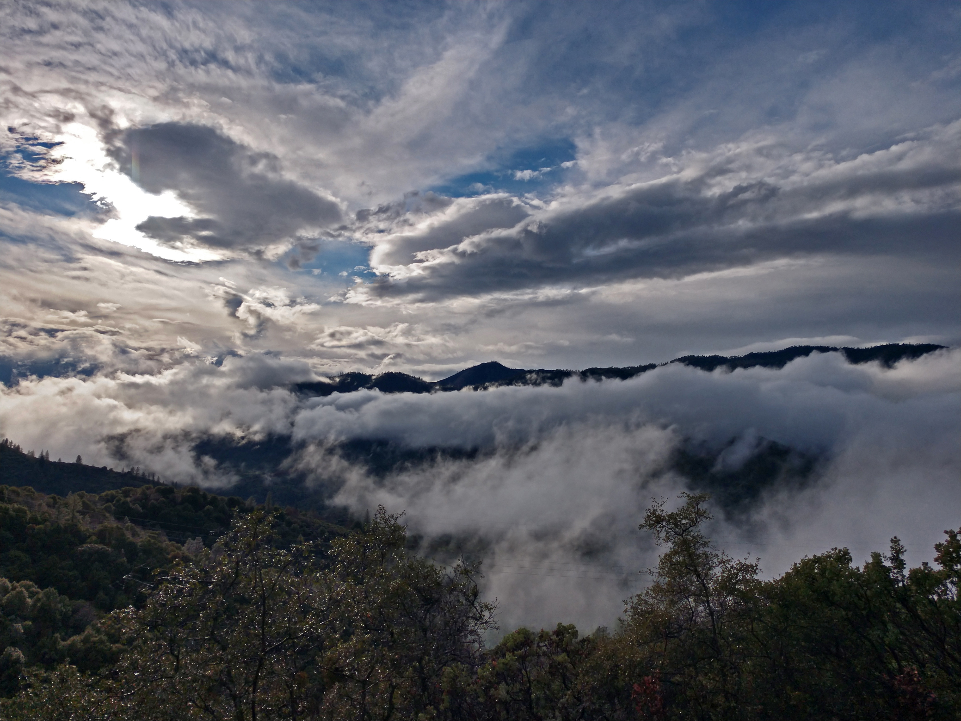
Clouds in the Sky Clouds on the Ground
Sacramento River - Redding, CA
Shasta Dam Overlook 1533
Sundial Bridge, Redding

Sunset over Sacramento River

View just now from the hotel room. #sunset #colorful #clouds #sky #evening #winter #redding #california #roadtrip #Creation #beauty #ipod #ipodtouch #igdaily #igaddicts #instagold #instagood #instagram

Mt. Shasta

Roberts_68 Sundial Bridge

Model For A Day
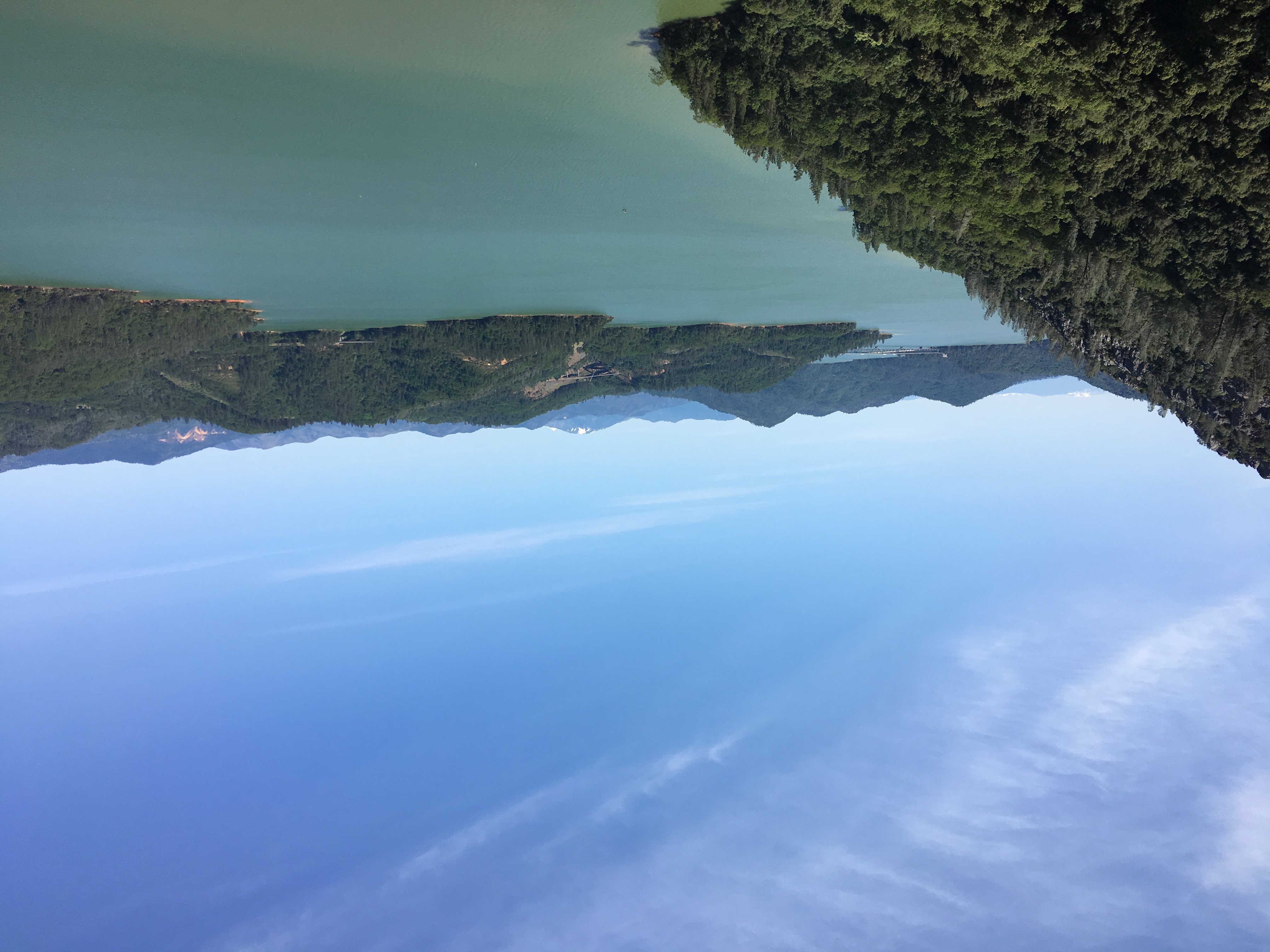
Crystal Clear - Shasta National Forest, CA, USA

Float About (p)

Beyond The Bridge
Almost there

I-5 Crossing (p)
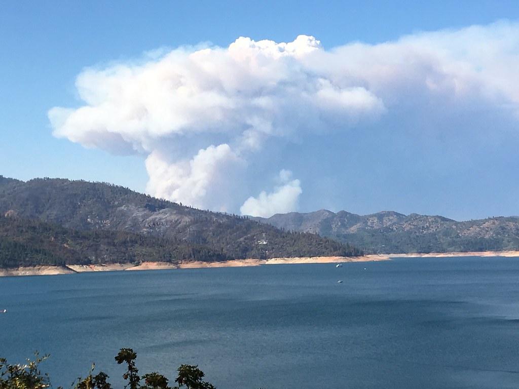
Delta Fire 2018
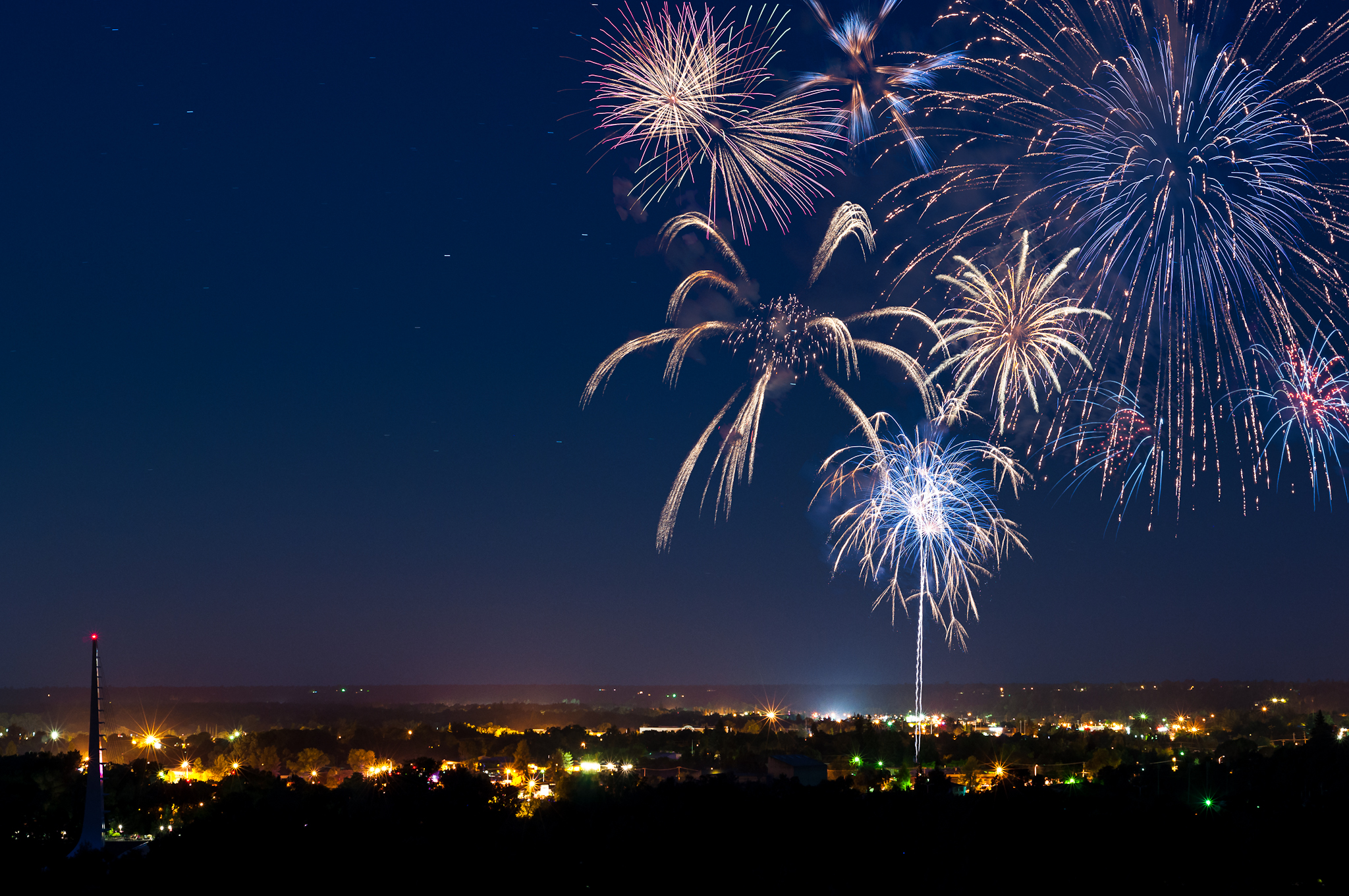
Redding 4th of July Fireworks

A Path of Exploration and Learning - Turtle Bay Exploration Park - Redding, Shasta County, California
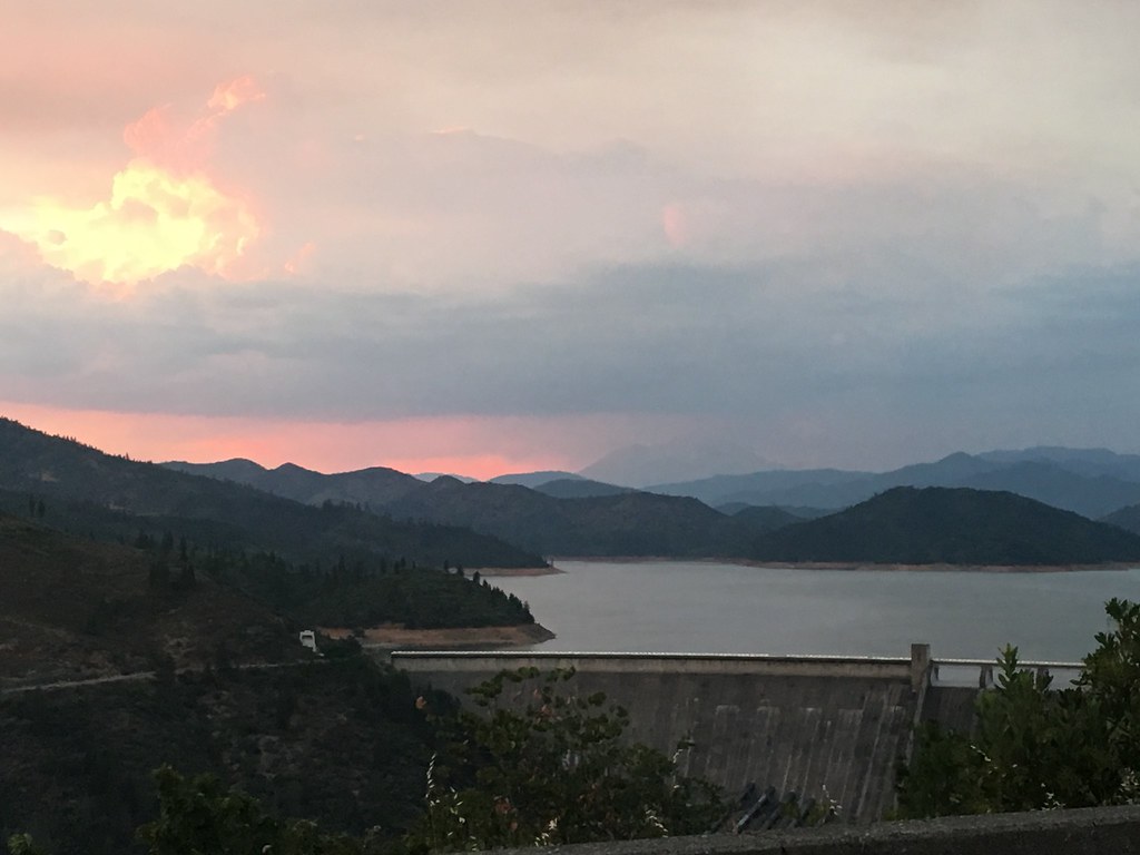
Shasta Dam last night 3 miles from home... second day July 24th, two days before CarrFire
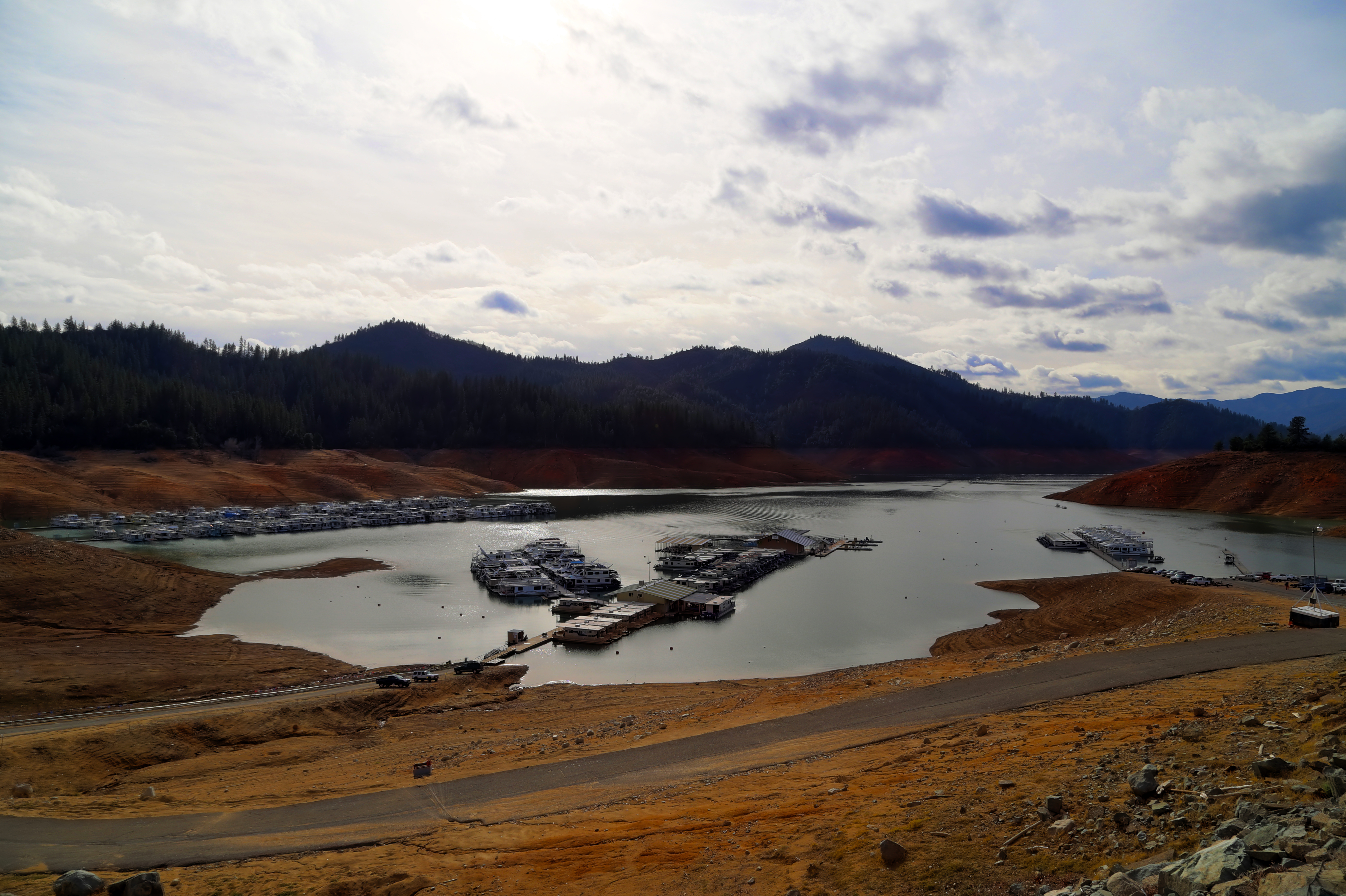
Lake Shasta's low point
46. Lake Shasta Caverns, Shasta, California

Could Be Lost

Shore Bumps

Hipstamatic Jones Valley

Sundial Bridge

Flower Save the Hours
Mount Shasta

Hipstamatic 210 Holiday Harbor Panorama
Topographic Map of Oscar Pl, Redding, CA, USA
Find elevation by address:

Places near Oscar Pl, Redding, CA, USA:
13632 Creek Trail
13632 Creek Trail
13632 Creek Trail
13632 Creek Trail
Bear Mountain Road
13826 Valley Creek Ln
13707 Creek Trail
21293 Jennifer Dr
21293 Jennifer Dr
13706 Four Oaks Ct
14463 Moss Dr
20920 Dorothy Ln
21812 Elk Trail W
21812 Elk Trail W
21812 Elk Trail W
13416 Luna Dr
13167 Hidden Oaks Trail
Ravine Rd, Redding, CA, USA
14694 Bollibokka Way
14694 Ravine Rd
Recent Searches:
- Elevation of Corso Fratelli Cairoli, 35, Macerata MC, Italy
- Elevation of Tallevast Rd, Sarasota, FL, USA
- Elevation of 4th St E, Sonoma, CA, USA
- Elevation of Black Hollow Rd, Pennsdale, PA, USA
- Elevation of Oakland Ave, Williamsport, PA, USA
- Elevation of Pedrógão Grande, Portugal
- Elevation of Klee Dr, Martinsburg, WV, USA
- Elevation of Via Roma, Pieranica CR, Italy
- Elevation of Tavkvetili Mountain, Georgia
- Elevation of Hartfords Bluff Cir, Mt Pleasant, SC, USA