Elevation of Big Bend Rd, Big Bend, CA, USA
Location: United States > California > Shasta County > Big Bend >
Longitude: -121.91077
Latitude: 41.0200903
Elevation: 516m / 1693feet
Barometric Pressure: 95KPa
Elevation Map:
Satellite Map:
Related Photos:

_8200176.NEF

_9080258.NEF
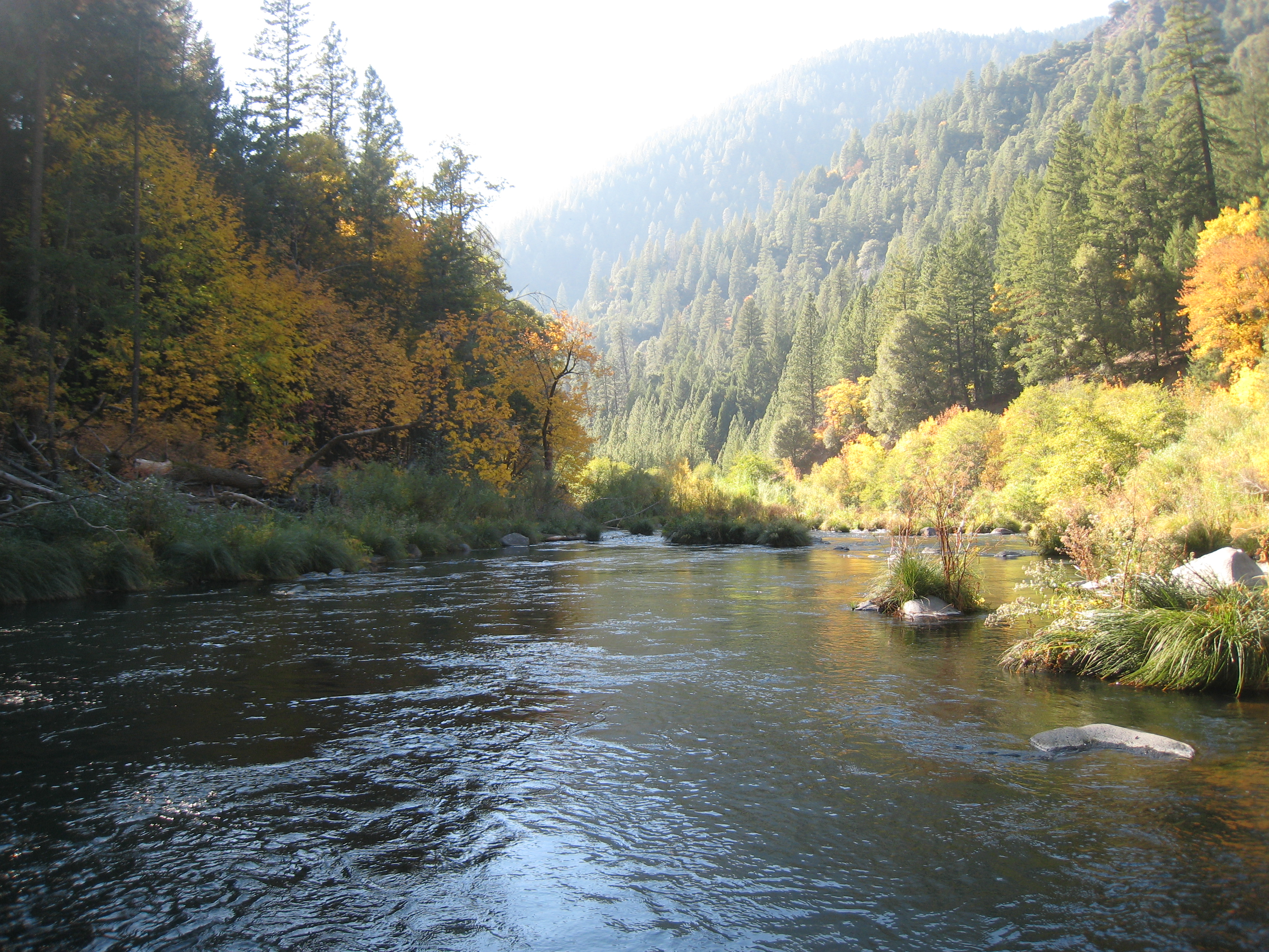
Pit River 11/08
Large Black Oaks
Sixth group
Sixth group

PCT from iPhone

PCT from iPhone

PCT from iPhone

PCT from iPhone
Sixth group

Sixth group

_9080259.NEF

_9080257.NEF

_8210036.NEF

_8210037.NEF

_8210038.NEF

_8200178.NEF

Siskiyou Iris

Mountain Majesty
Topographic Map of Big Bend Rd, Big Bend, CA, USA
Find elevation by address:

Places near Big Bend Rd, Big Bend, CA, USA:
Big Bend
Summit Lake Road
Big Bend Road
20911 Big Bend Rd
Hillcrest Rest Area
Montgomery Creek
30318 Ca-299
29721 D Ann Way
30014 Fenders Ferry Rd
30435 Dunn Moody Rd
17582 Mountain School Rd
Hill Country Community Clinic
30503 Terry Mill Rd
Round Mountain
Redding
Shasta County
Mccloud Falls - Upper Fall
Burney Falls
Clark Creek Rd, Burney, CA, USA
37985 Clark Creek Rd
Recent Searches:
- Elevation of Corso Fratelli Cairoli, 35, Macerata MC, Italy
- Elevation of Tallevast Rd, Sarasota, FL, USA
- Elevation of 4th St E, Sonoma, CA, USA
- Elevation of Black Hollow Rd, Pennsdale, PA, USA
- Elevation of Oakland Ave, Williamsport, PA, USA
- Elevation of Pedrógão Grande, Portugal
- Elevation of Klee Dr, Martinsburg, WV, USA
- Elevation of Via Roma, Pieranica CR, Italy
- Elevation of Tavkvetili Mountain, Georgia
- Elevation of Hartfords Bluff Cir, Mt Pleasant, SC, USA