Elevation of Happy Camp, CA, USA
Location: United States > California >
Longitude: -123.37857
Latitude: 41.792654
Elevation: 332m / 1089feet
Barometric Pressure: 97KPa
Elevation Map:
Satellite Map:
Related Photos:

Sunset in Happy Camp... Cycle Oregon 2009
Cycle Oregon 2009

Clear Creek

The Hike to Ukanom Falls
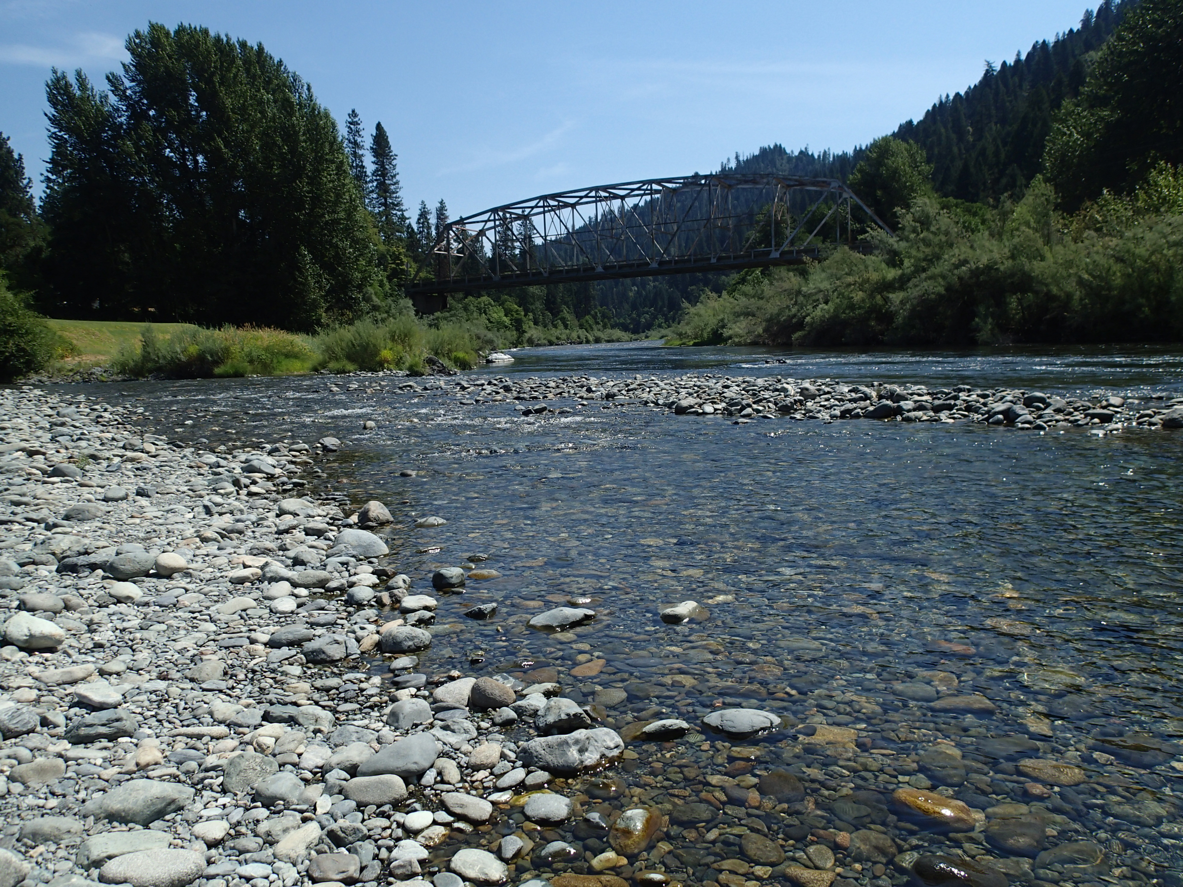
Klamath River at the Indian Creek access

Smoke Above Clear Creek (EXPLORED)
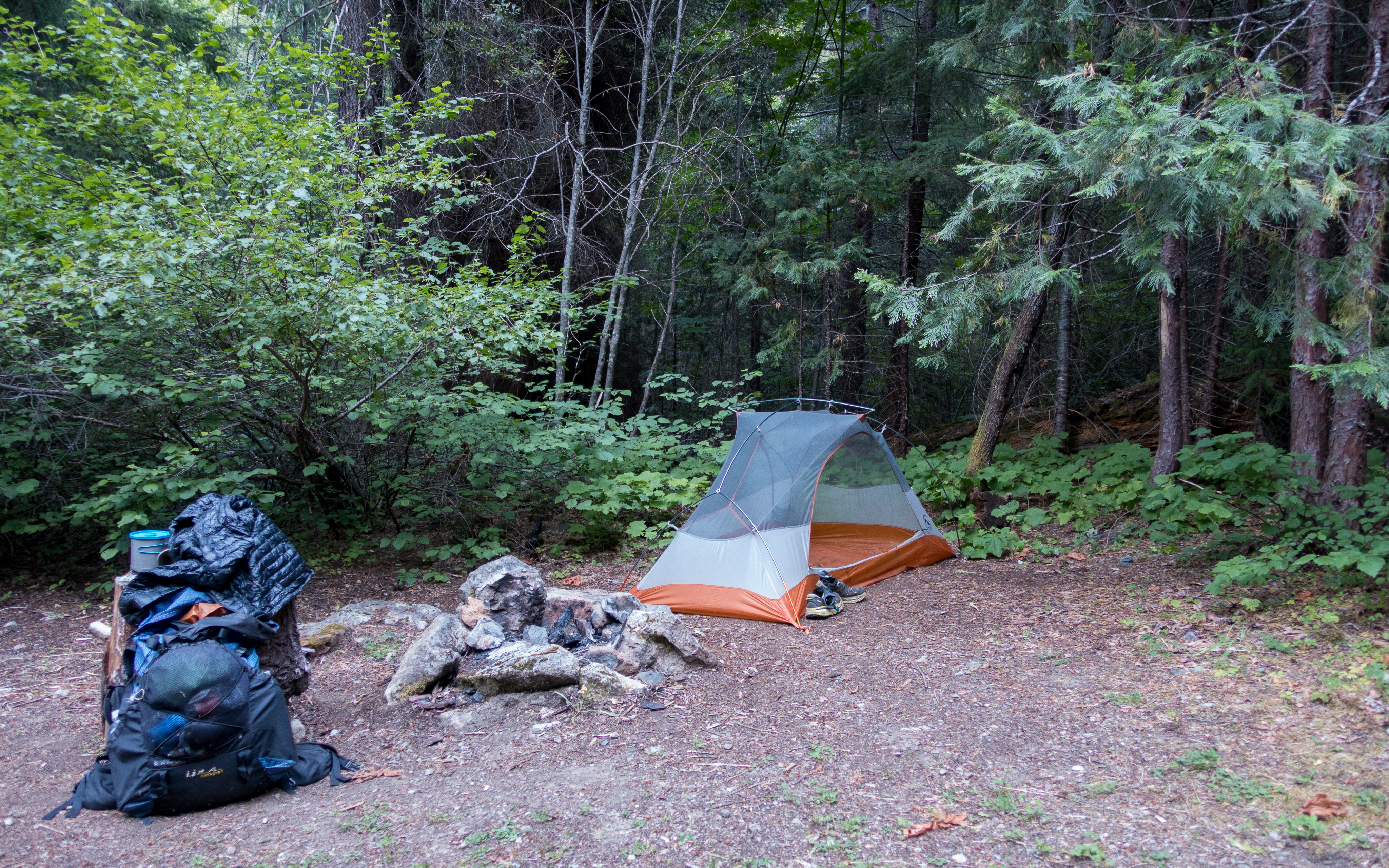
Camp, July 16
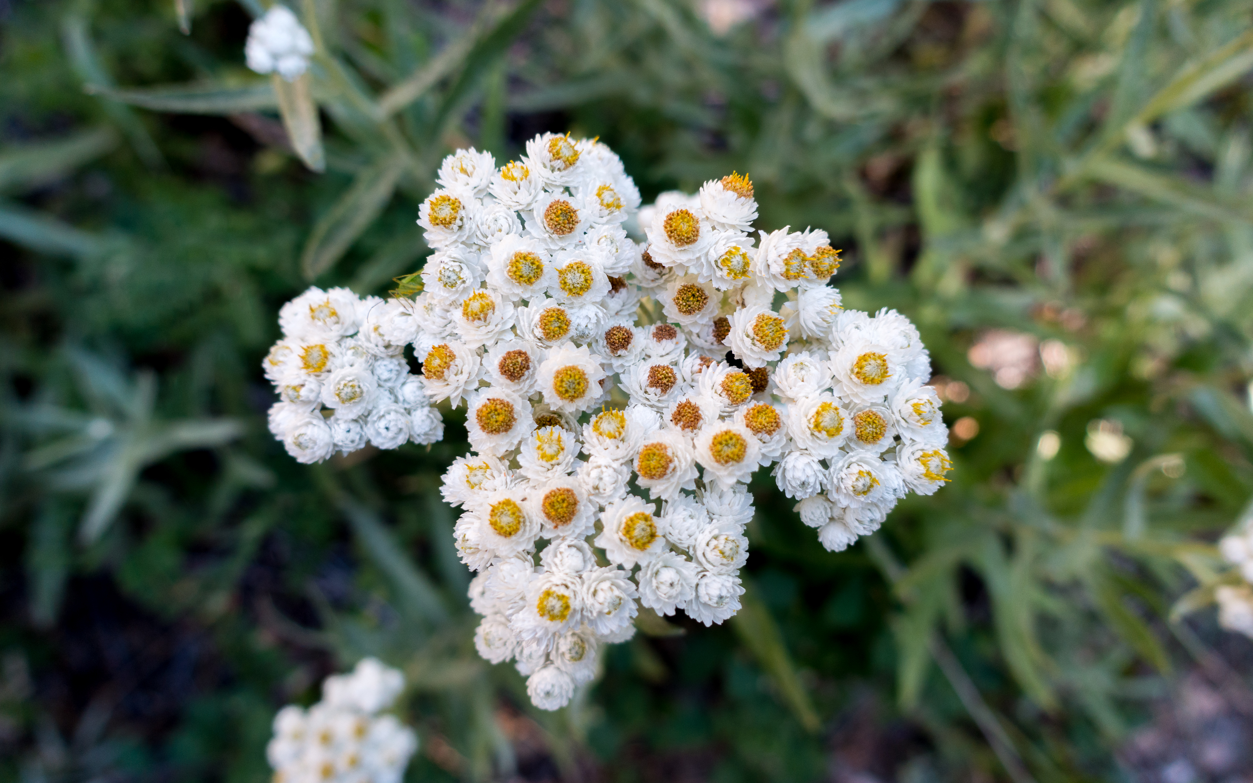
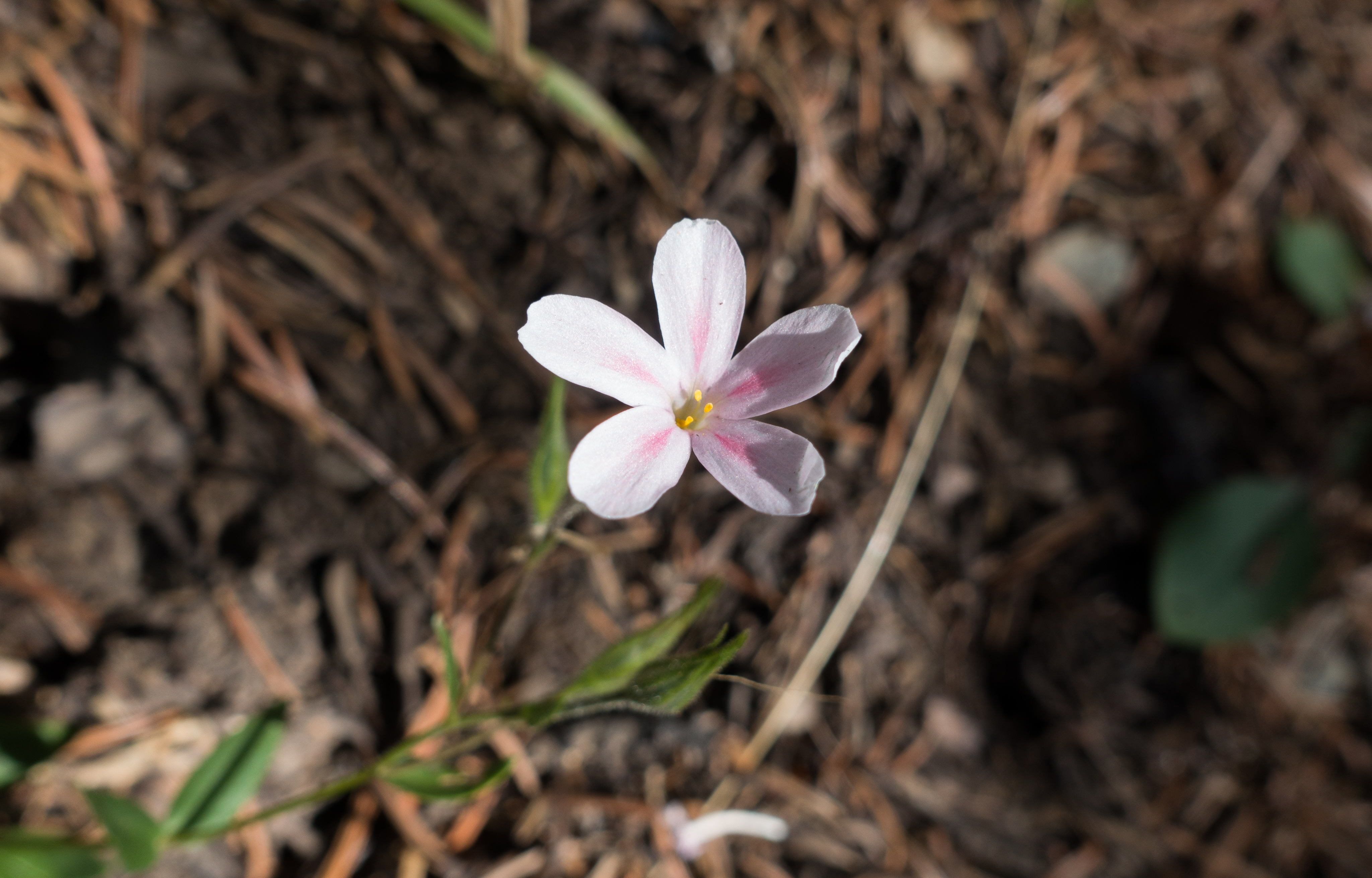
Popcorn flower
Thu 0716
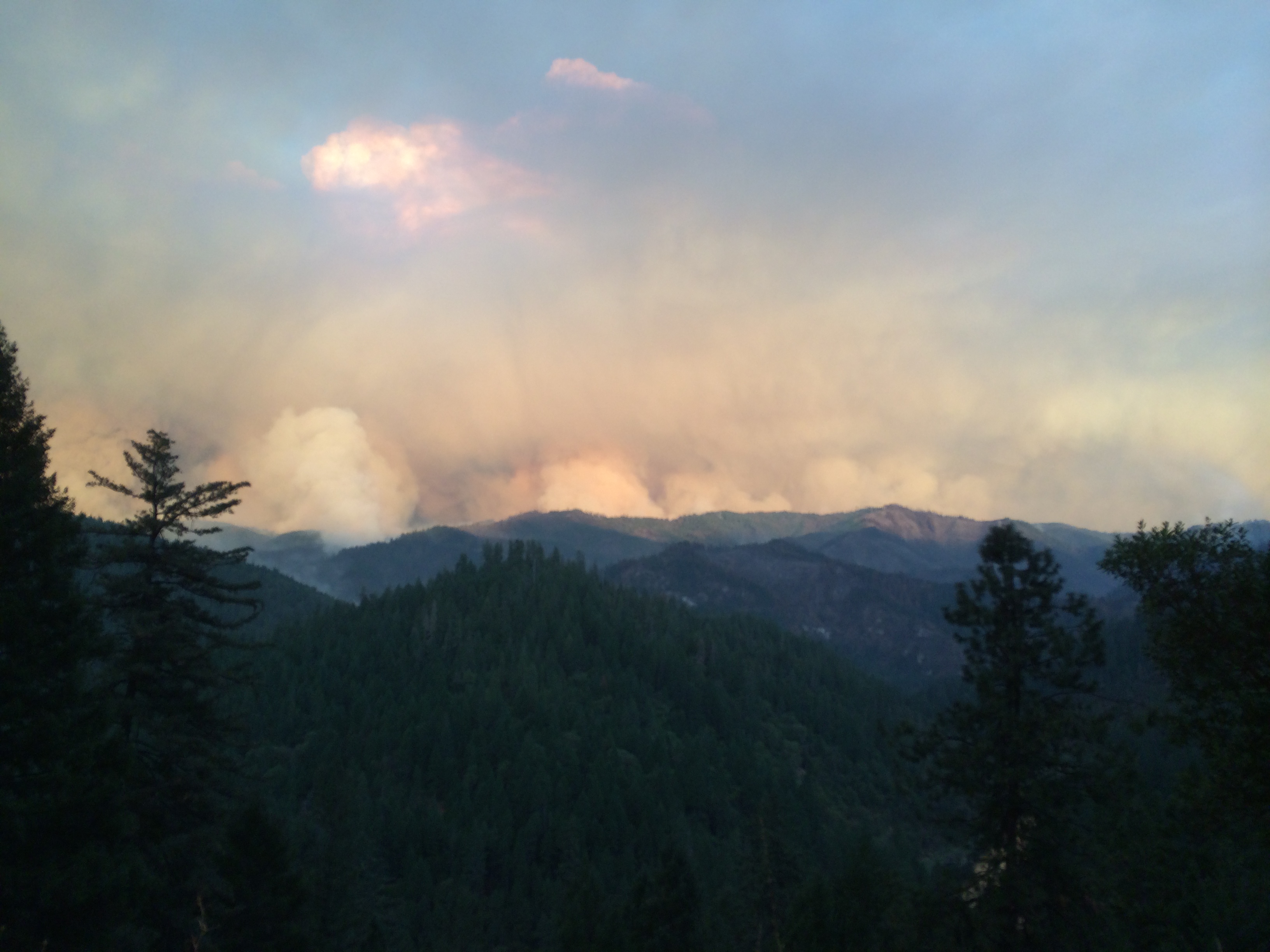
Happy Camp fire
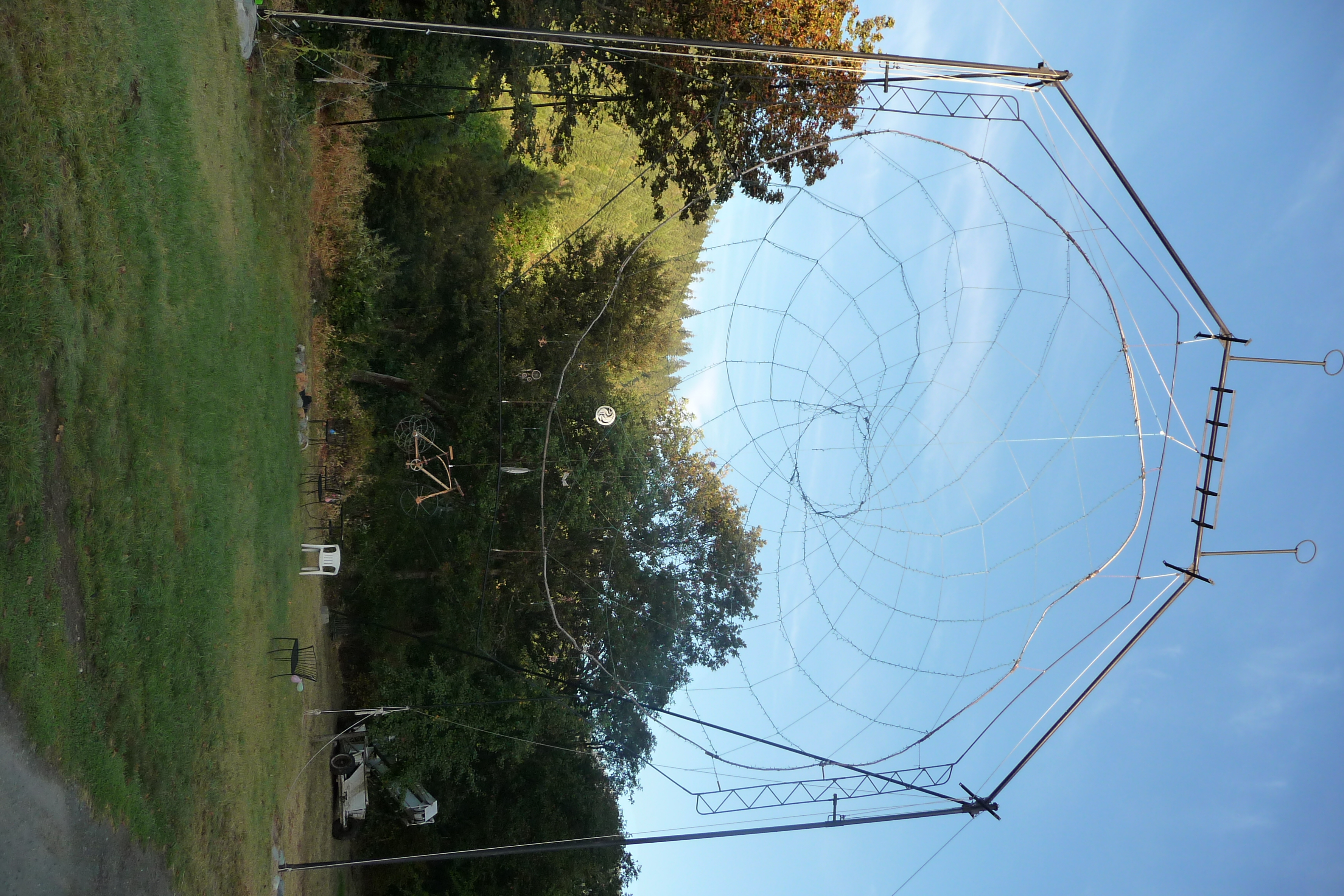
Looking Up
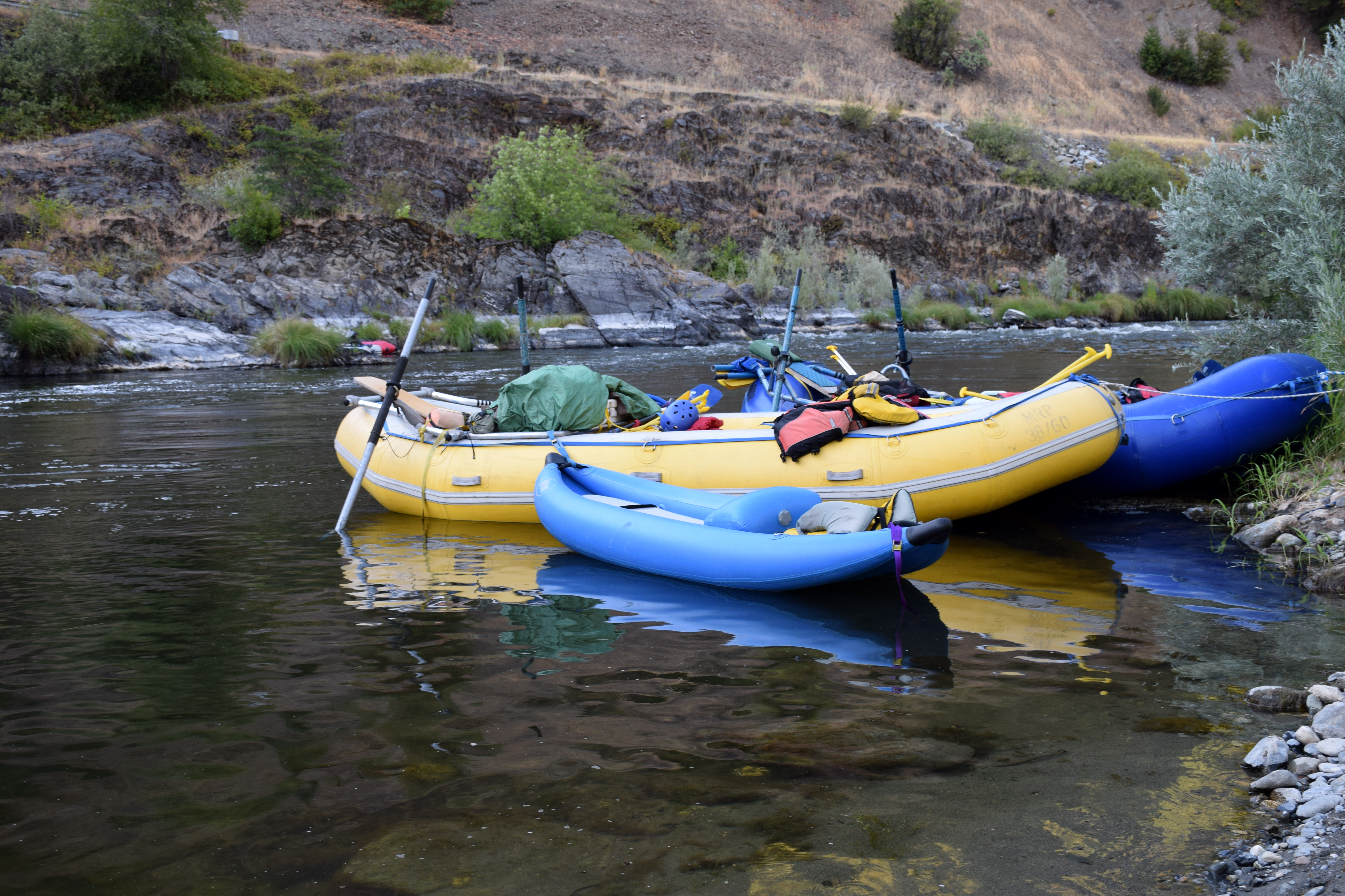
rafts tied up before bedtime in a quiet eddy

Pancake Challenge at Seiad Cafe.

_7290047.NEF

_7290048.NEF
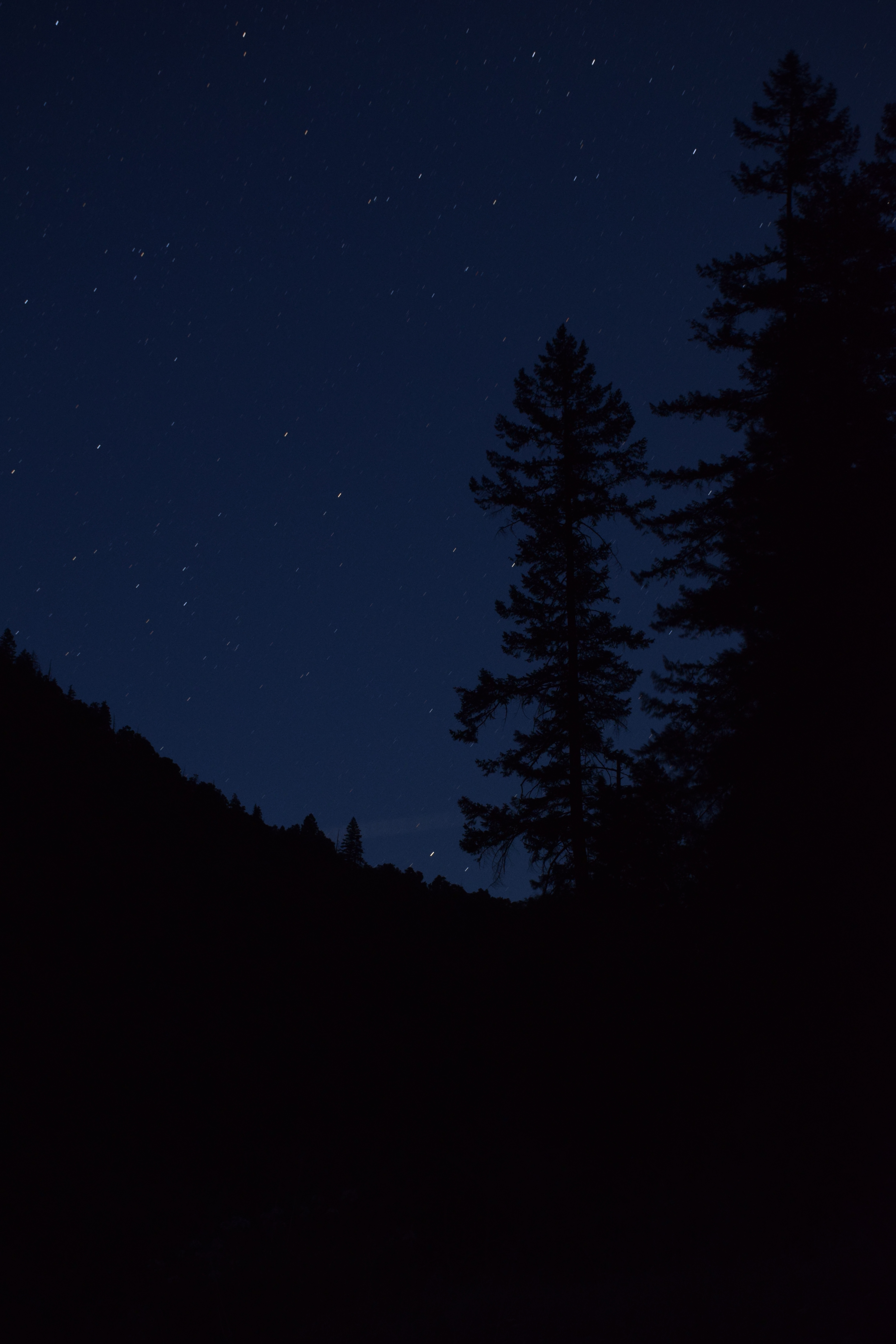
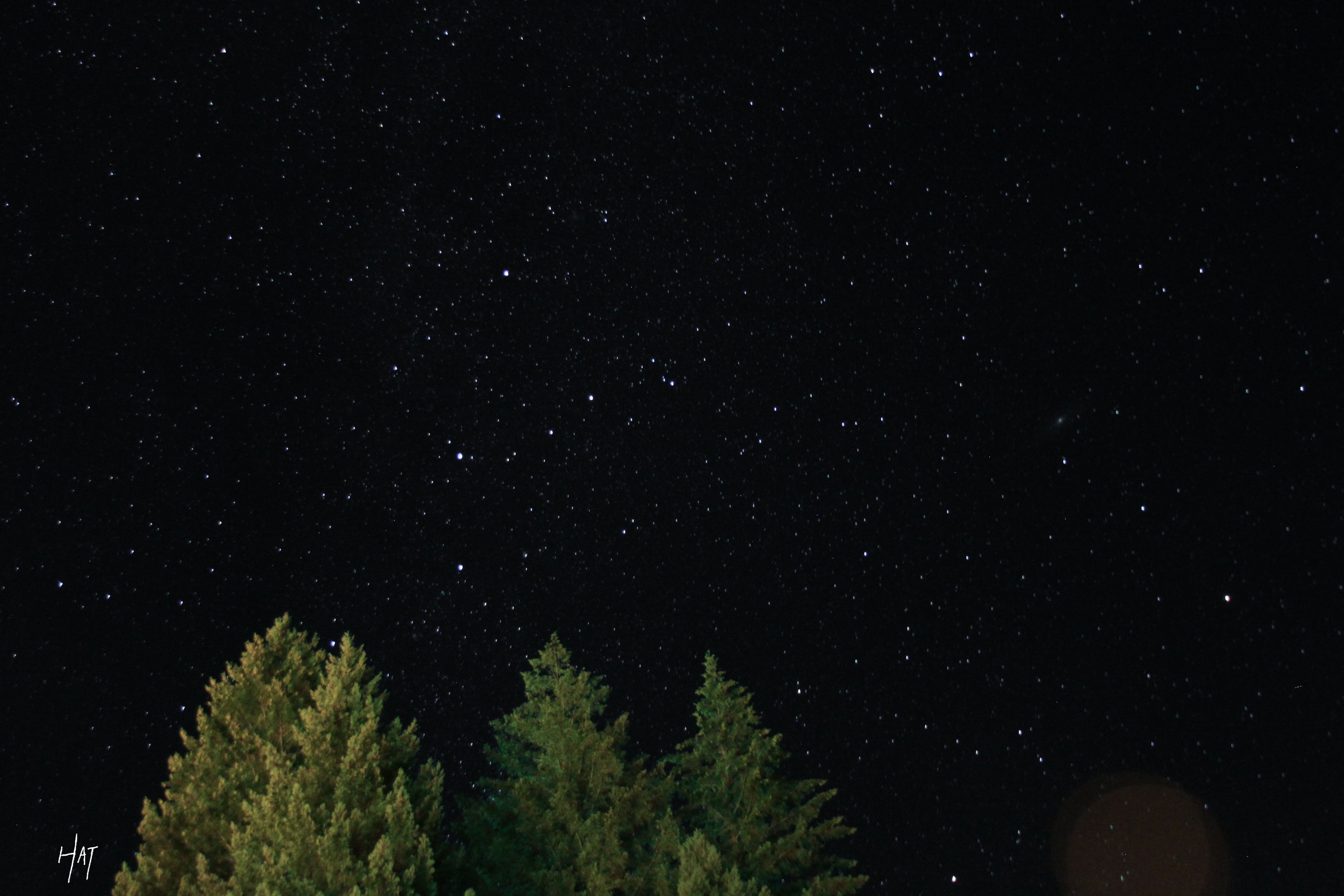
Stars and Pine Silhouette on the Klamath River
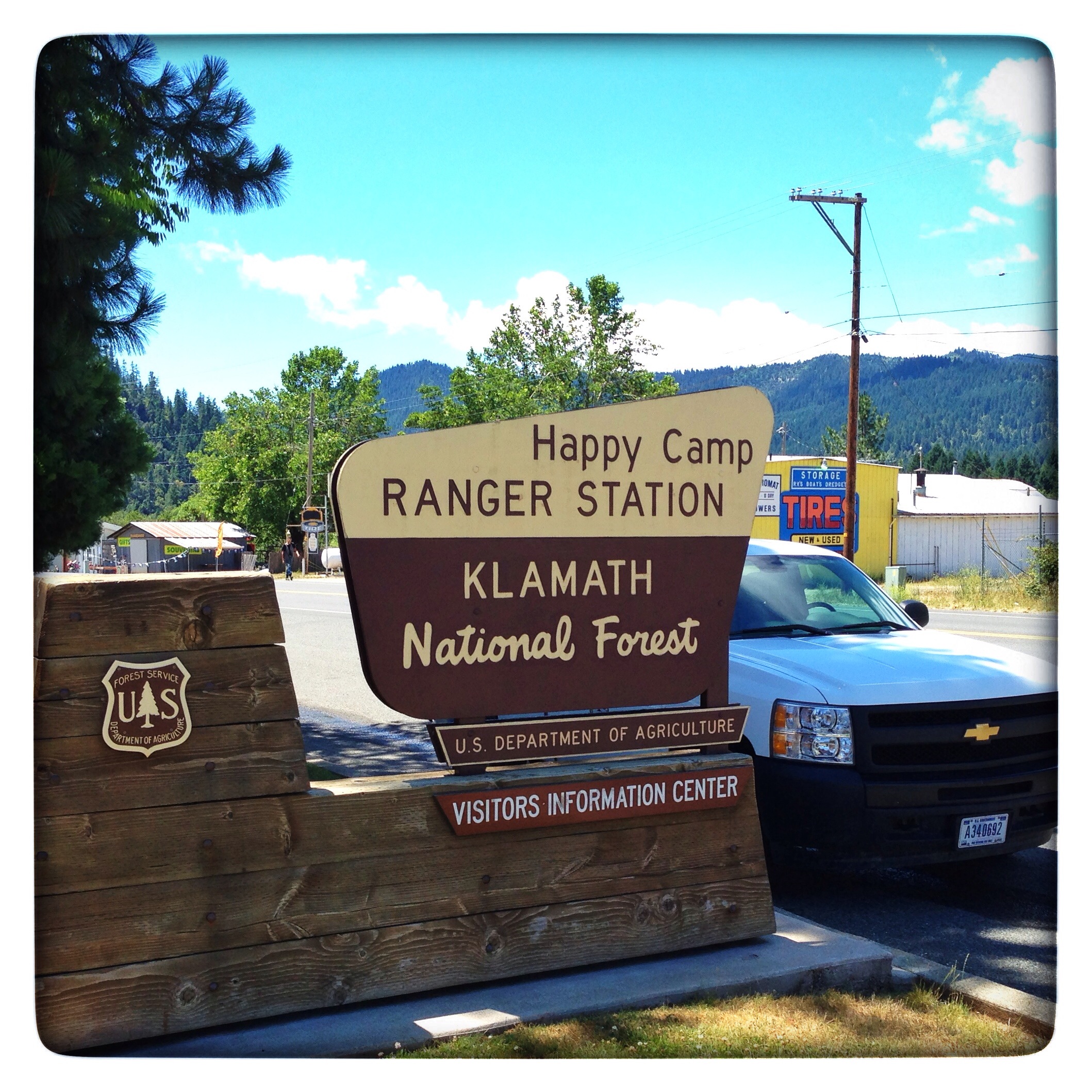
Happy Camp!
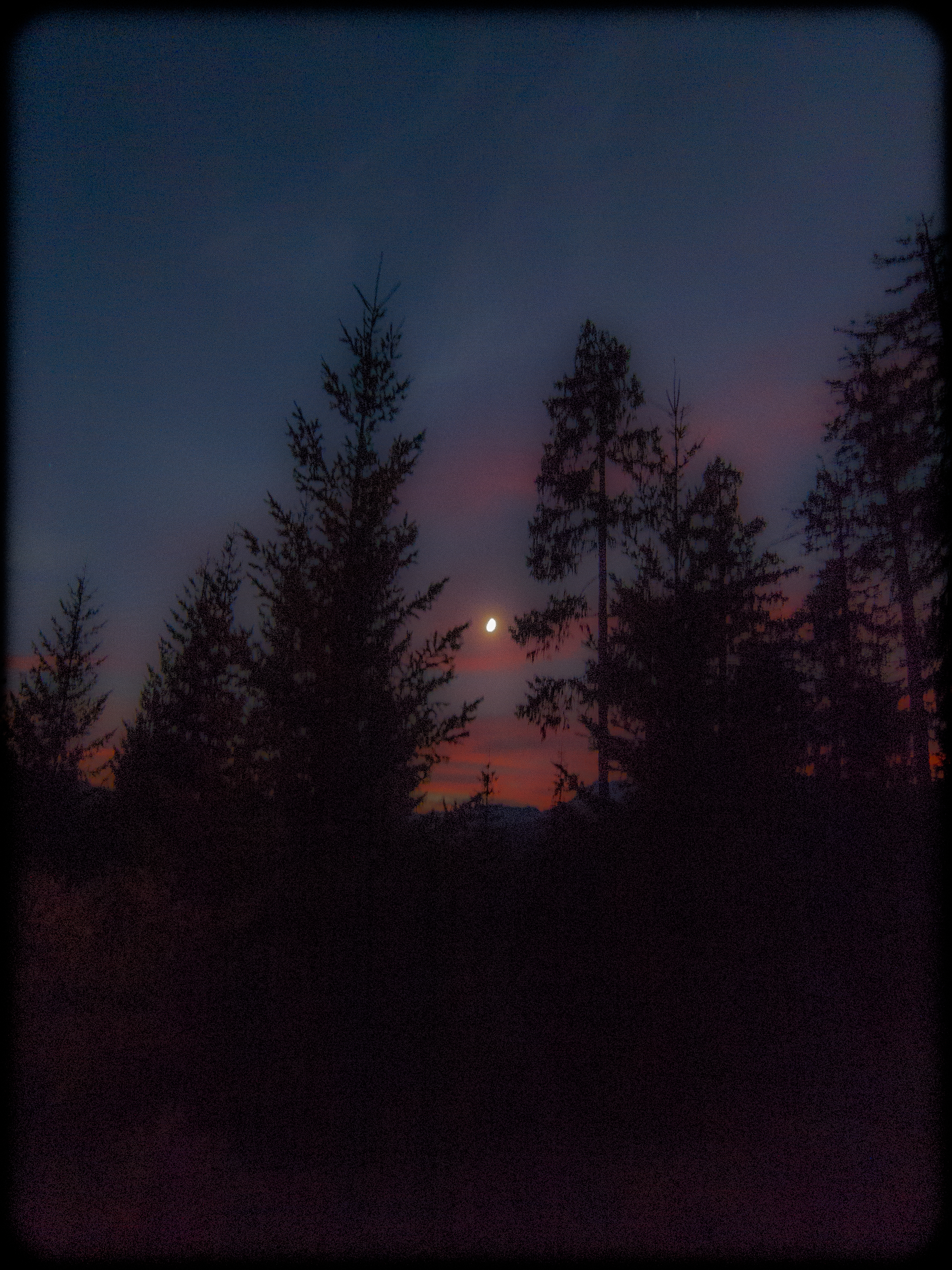
Full Moon Sunset

Clear Creek

Independence Bridge

"Attack The River!"

Man-Sport
Topographic Map of Happy Camp, CA, USA
Find elevation by address:

Places in Happy Camp, CA, USA:
Places near Happy Camp, CA, USA:
Pacific Coast Ranges
52523 Ca-96
CA-96, Seiad Valley, CA, USA
Sulphur Springs Campground
West Branch Campground
Seiad Valley
Red Butte
Cook And Green Campground
Black Marble Mountain
Scott River Lodge
Chateau At The Oregon Caves
Oregon Caves Visitor Center
Oregon Caves National Monument
Grayback Mountain
92520 Ca-96
1501 Happy Camp Rd
Takilma
29103 Scott River Rd
Boulder Peak
Applegate Lake Hart-tish Park
Recent Searches:
- Elevation of Corso Fratelli Cairoli, 35, Macerata MC, Italy
- Elevation of Tallevast Rd, Sarasota, FL, USA
- Elevation of 4th St E, Sonoma, CA, USA
- Elevation of Black Hollow Rd, Pennsdale, PA, USA
- Elevation of Oakland Ave, Williamsport, PA, USA
- Elevation of Pedrógão Grande, Portugal
- Elevation of Klee Dr, Martinsburg, WV, USA
- Elevation of Via Roma, Pieranica CR, Italy
- Elevation of Tavkvetili Mountain, Georgia
- Elevation of Hartfords Bluff Cir, Mt Pleasant, SC, USA