Elevation map of Mendocino County, CA, USA
Location: United States > California >
Longitude: -123.43835
Latitude: 39.5500194
Elevation: 585m / 1919feet
Barometric Pressure: 94KPa
Elevation Map:
Satellite Map:
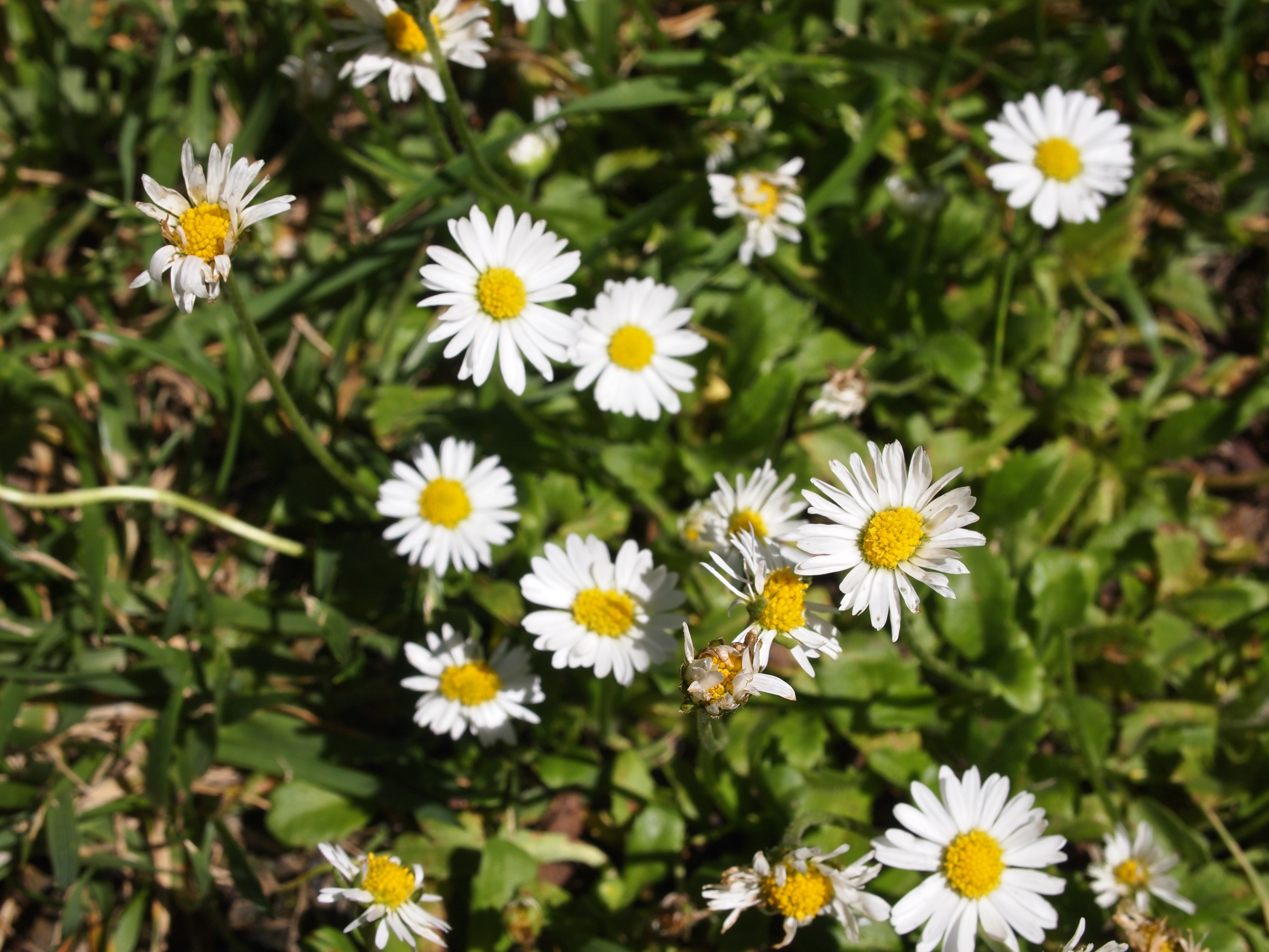
Related Photos:

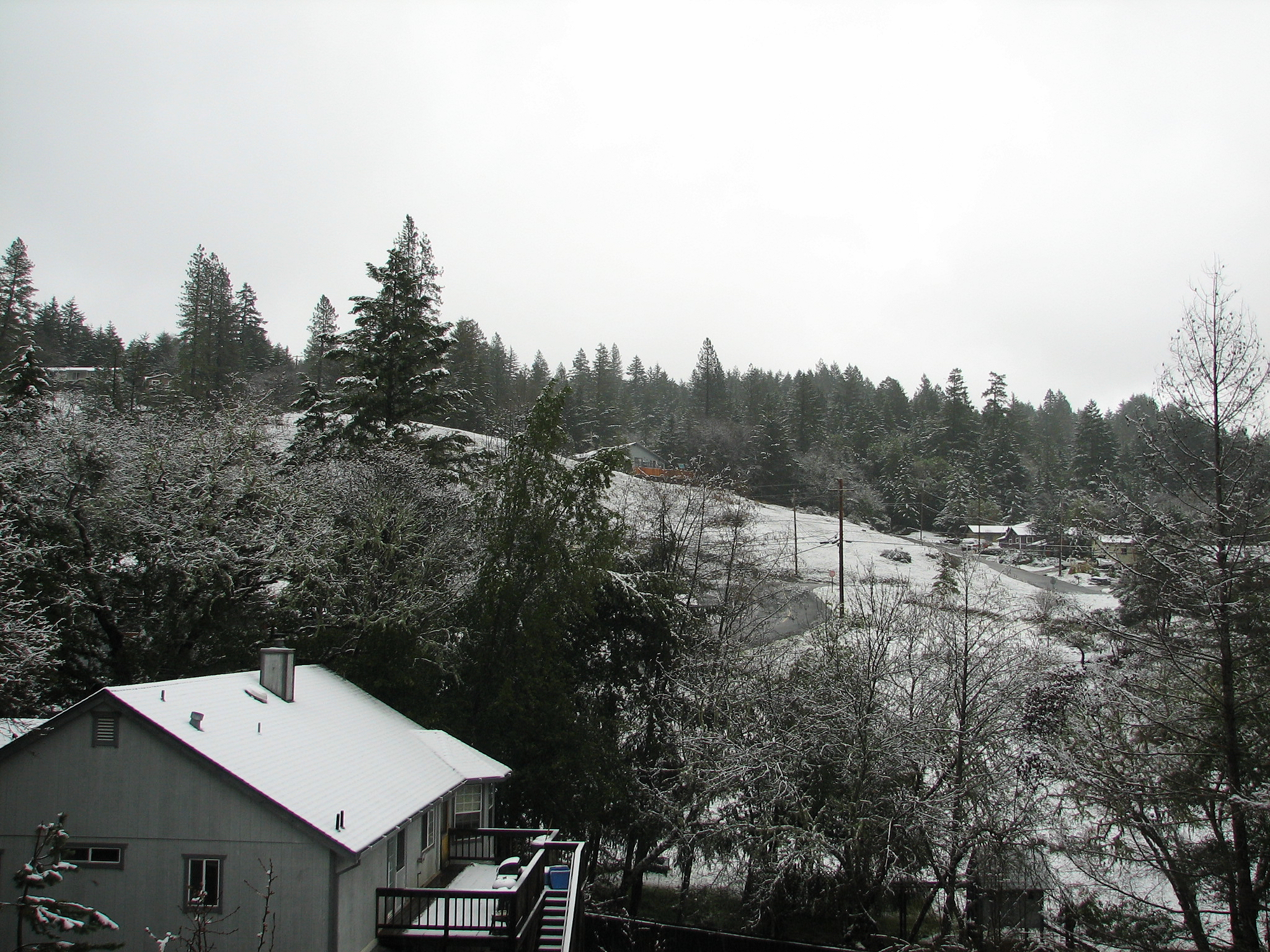
The Wider View

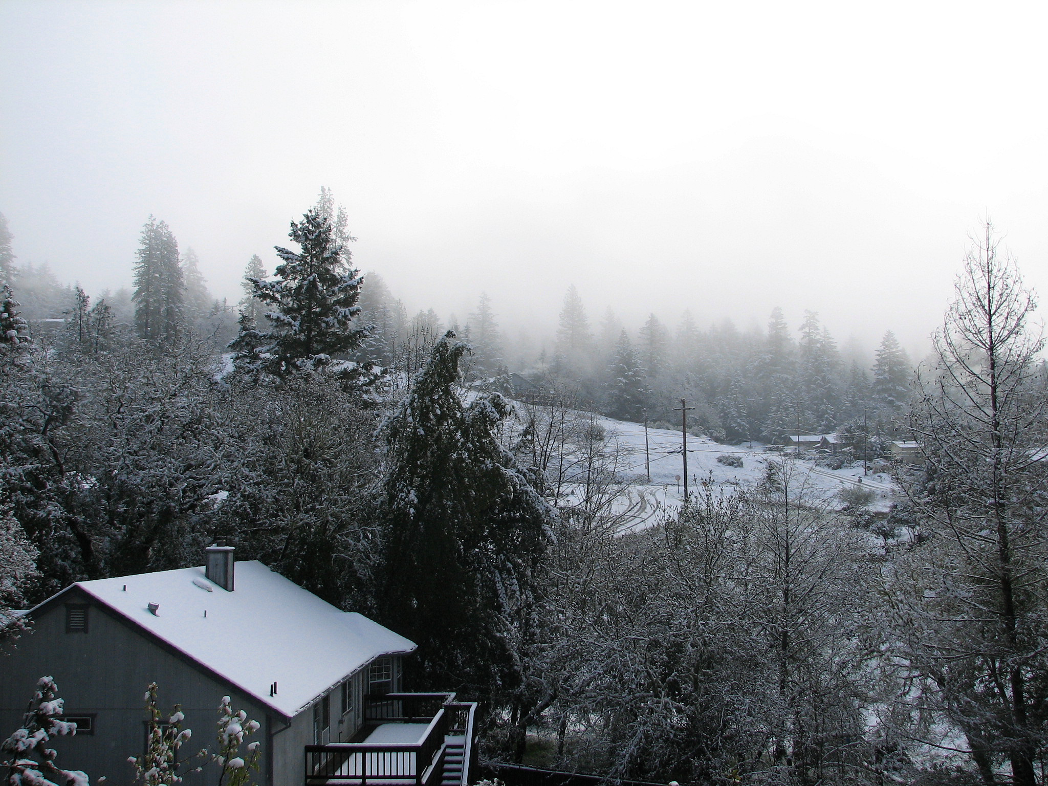
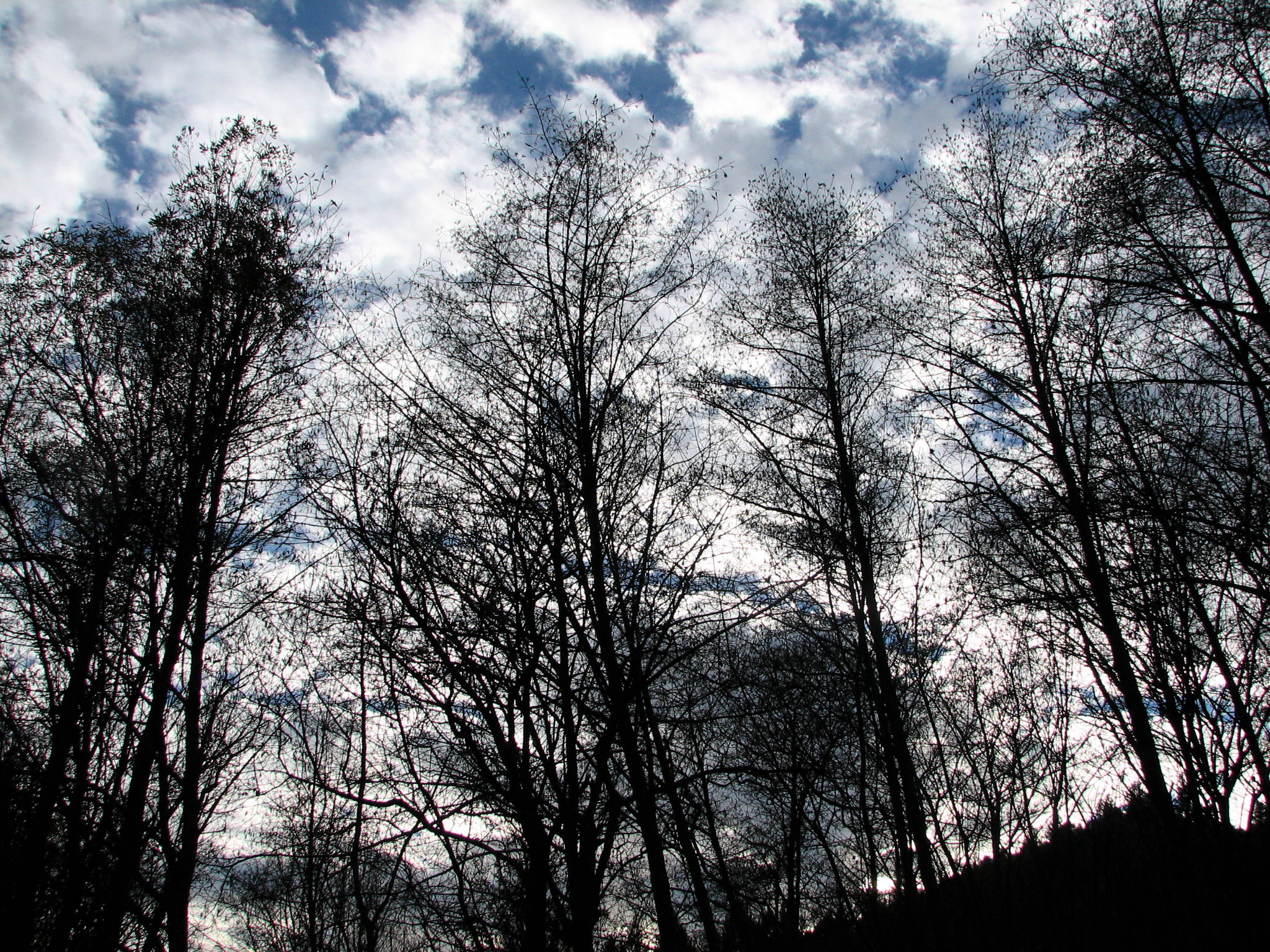
Frosted Tips
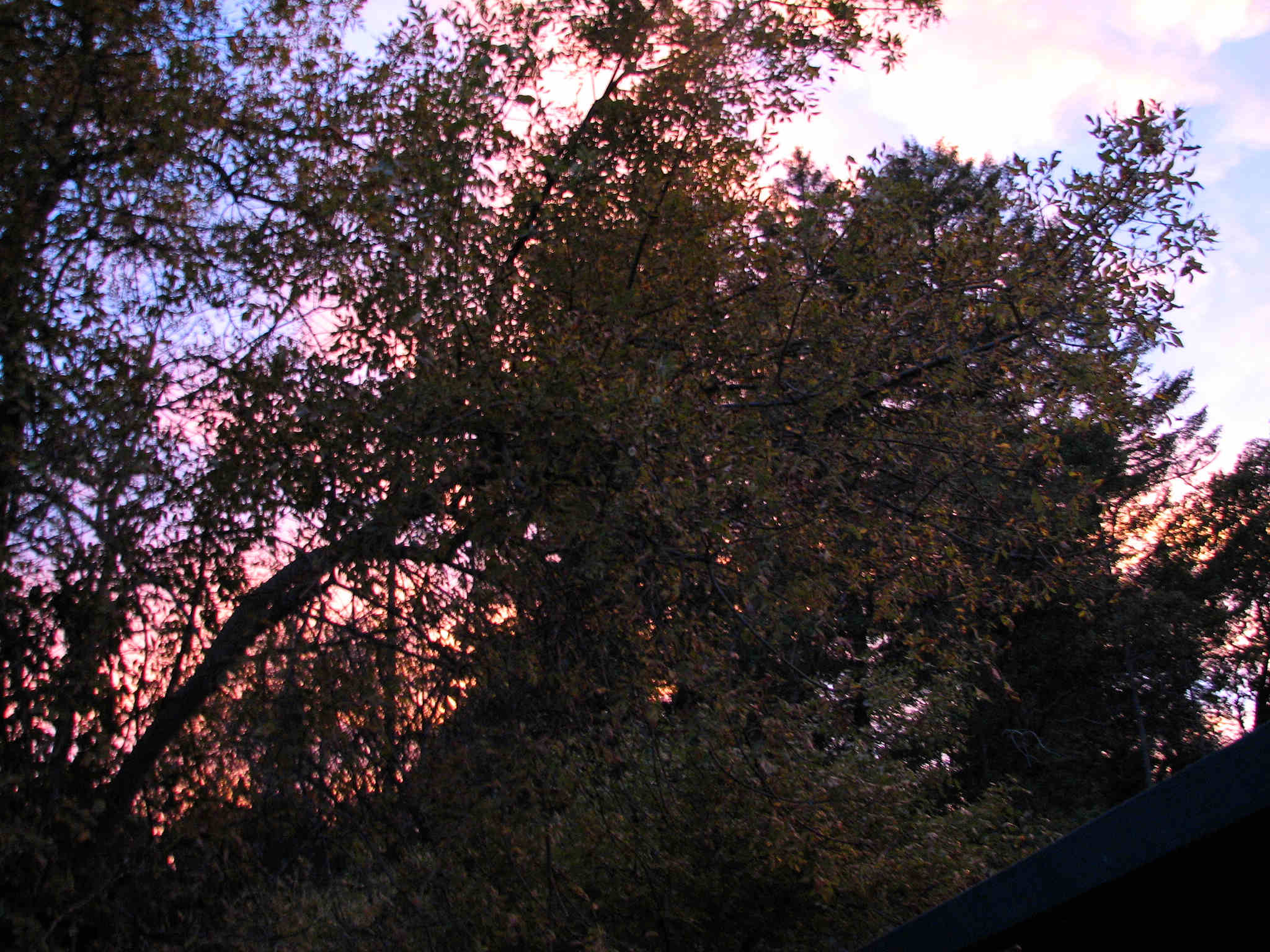
Part of a Sunset
Second Deck View, 5 Apr 2010
First Deck View, Sunset 14 Jan 2009
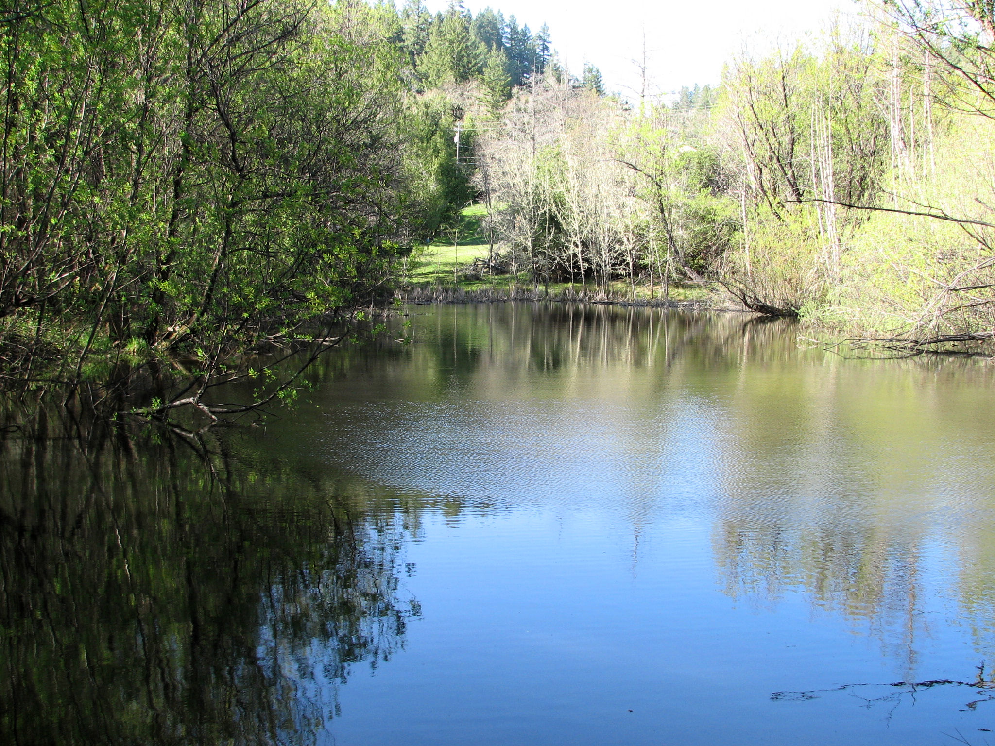
Beeler Pond
Breakfast on the Deck

Lynn's Roses 2

Trimmed Manzanita Thicket
Second Deck View, 11 Feb 2009
June 2015 in Brooktrails

Second Deck View, 10 Mar 2010
First Deck View, 5 Apr 2010

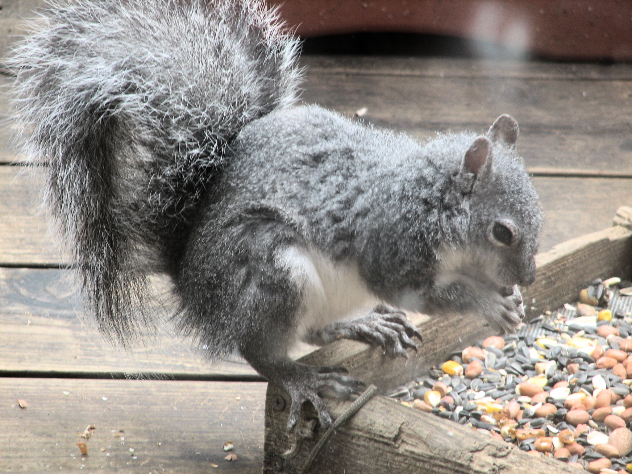
Squirrel at Breakfast

First Deck View, 11 Feb 2009
Sunset Obscured
Lace Curtain

Sunset Glow

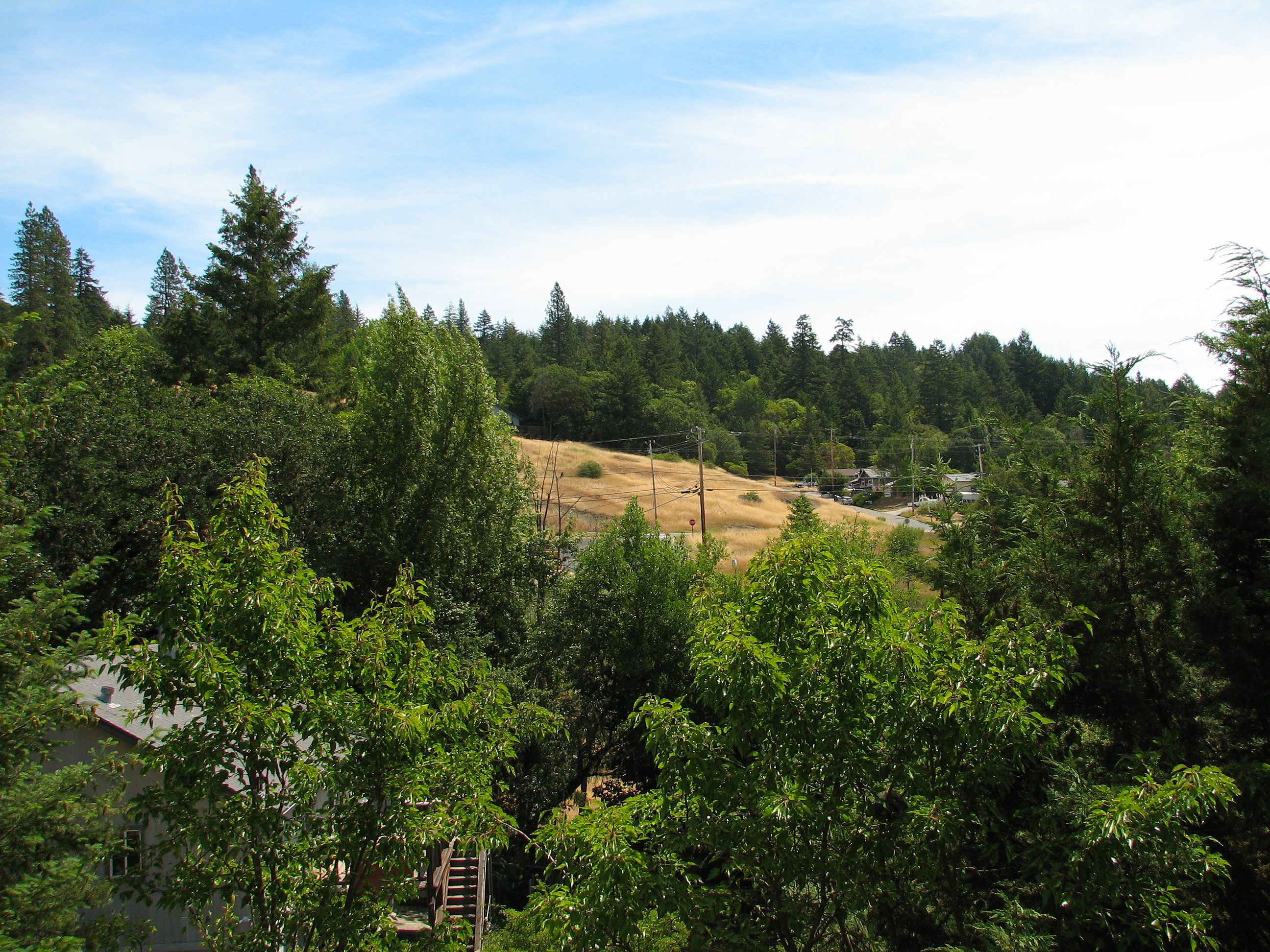
view from front deck
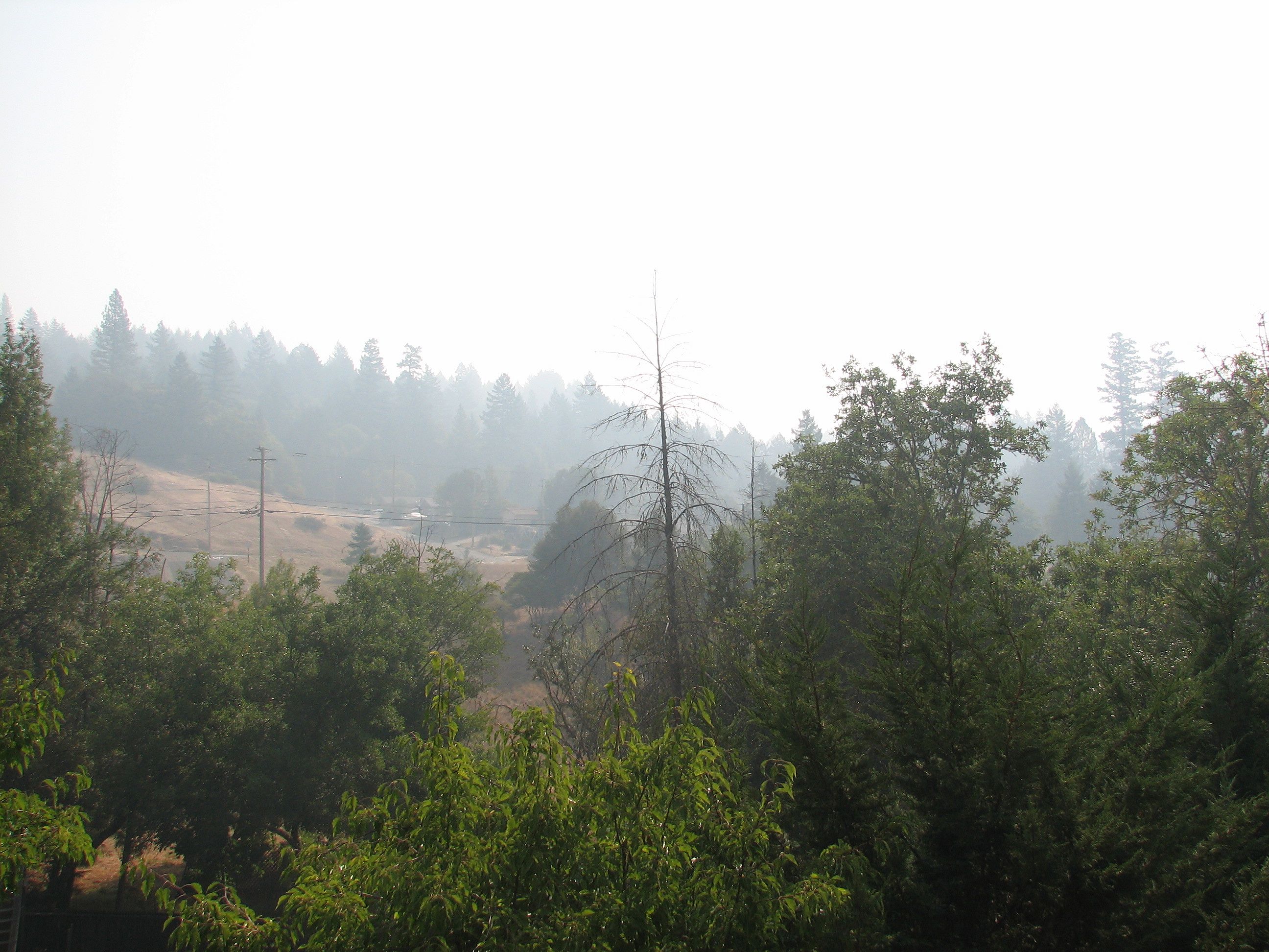
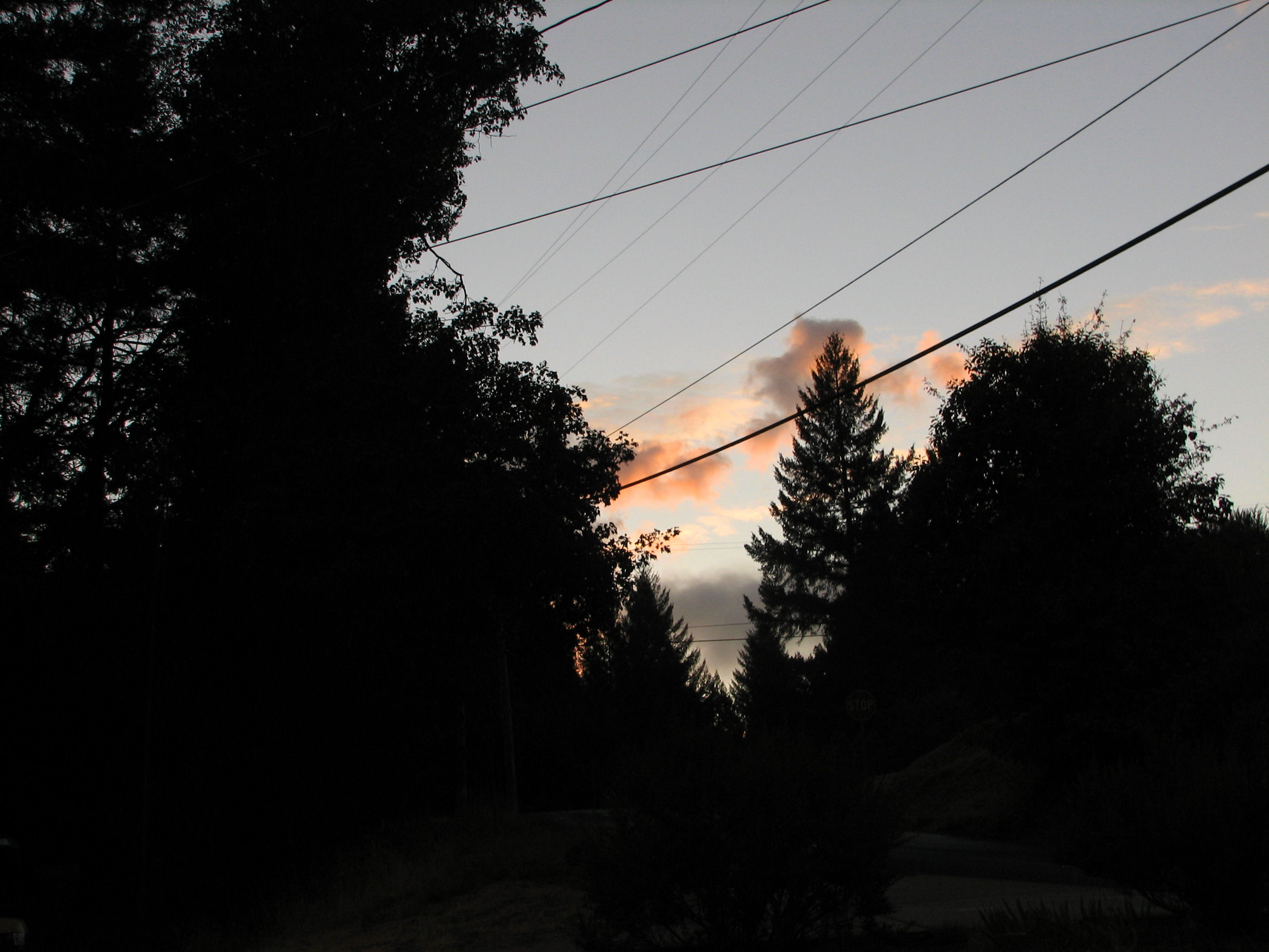
Wildfire Smoke

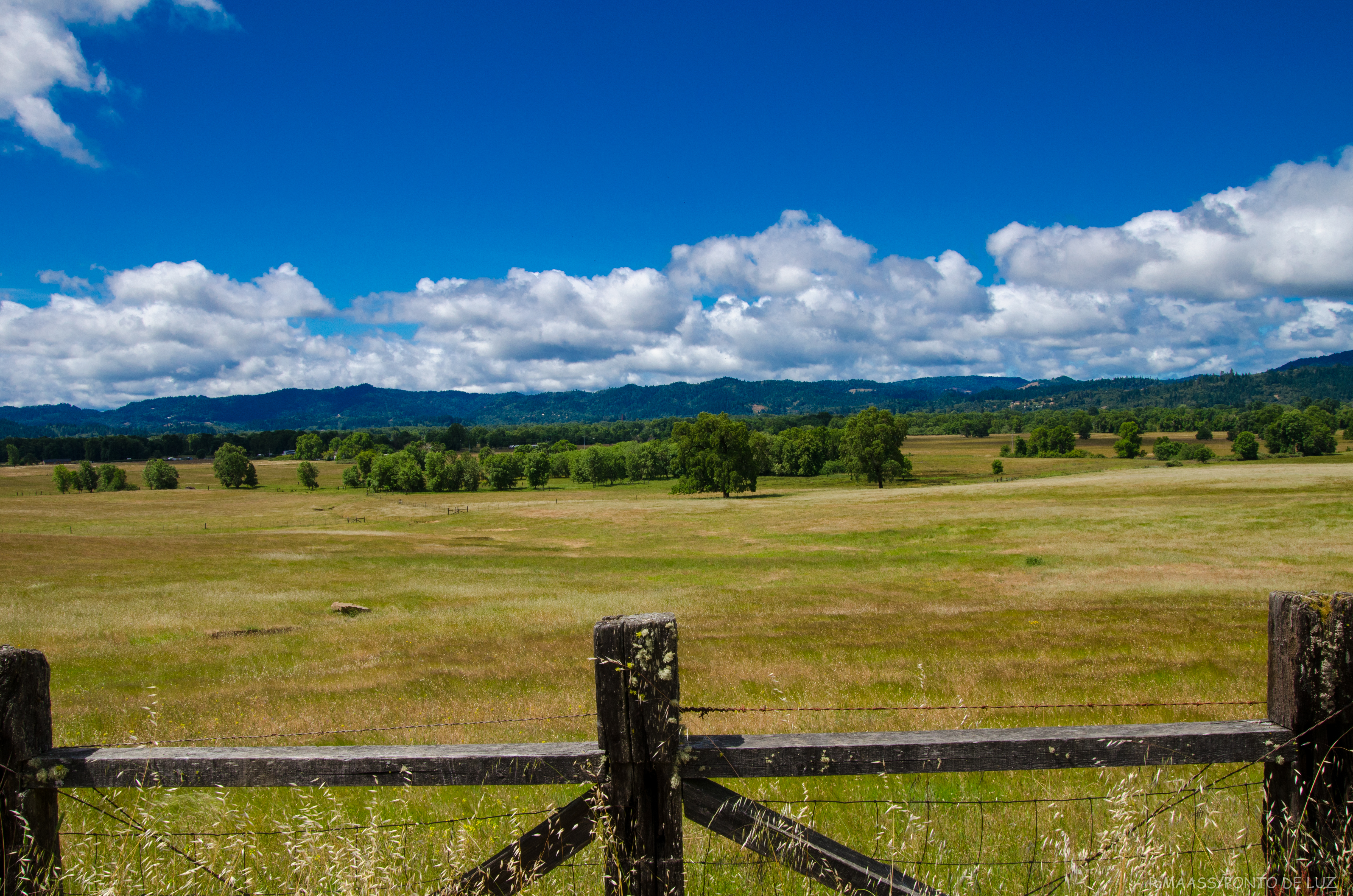
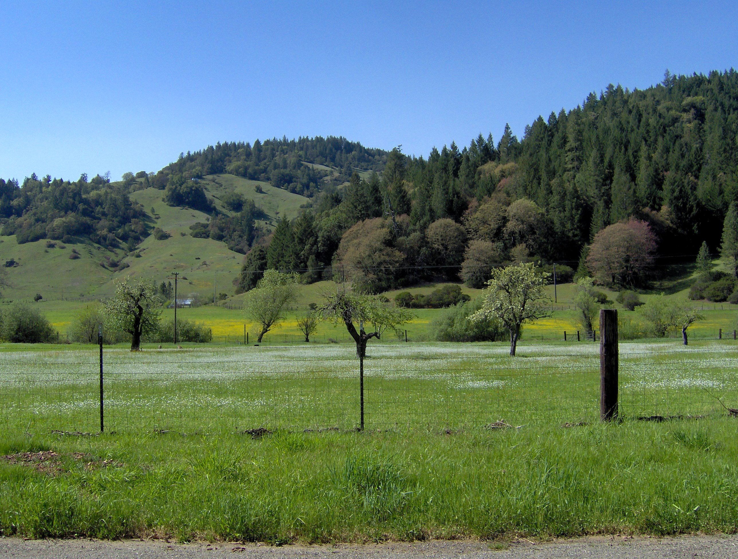
Little Lake Valley
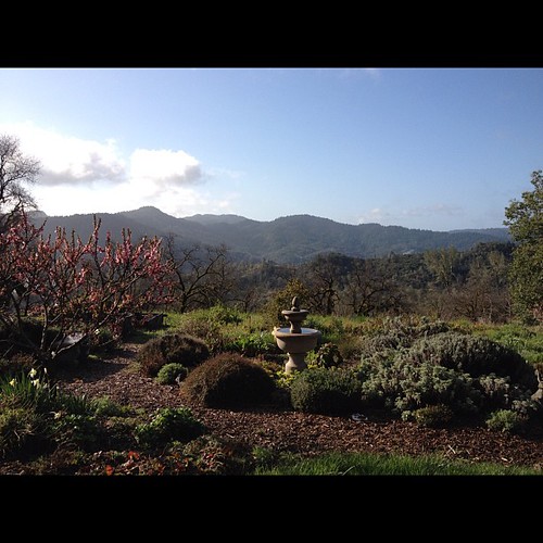
Today's chances of awesome? 100% #nofilter
VALLEY WEST MAY 2013
Out of the Misty Morning
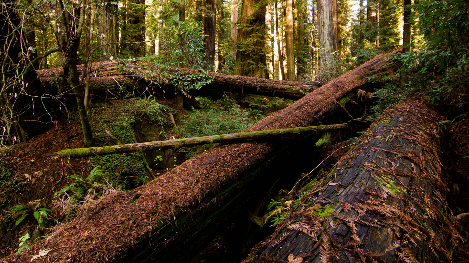
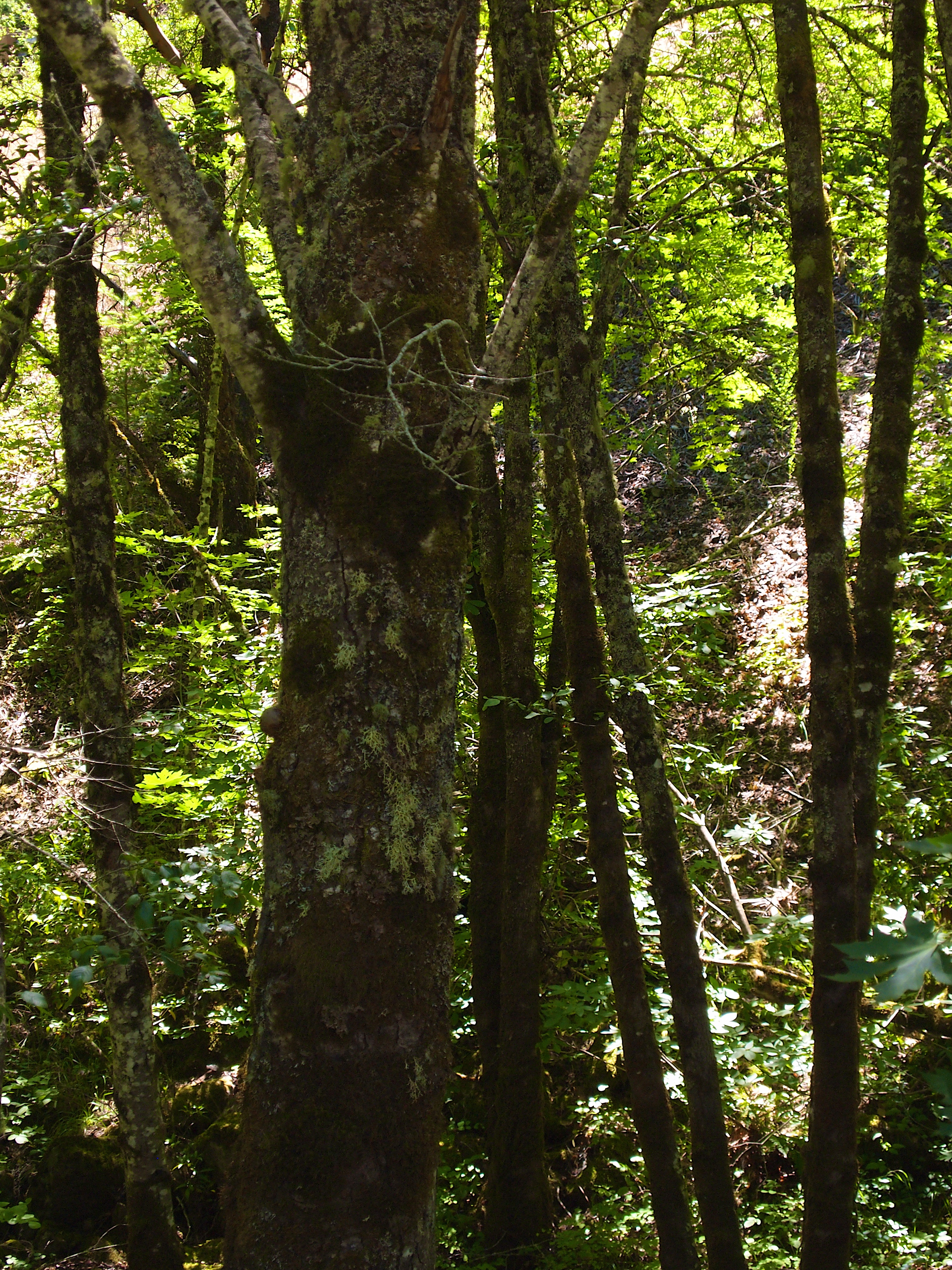
Fallen giants.

Icy Par Course Trail
Quiet Sunset
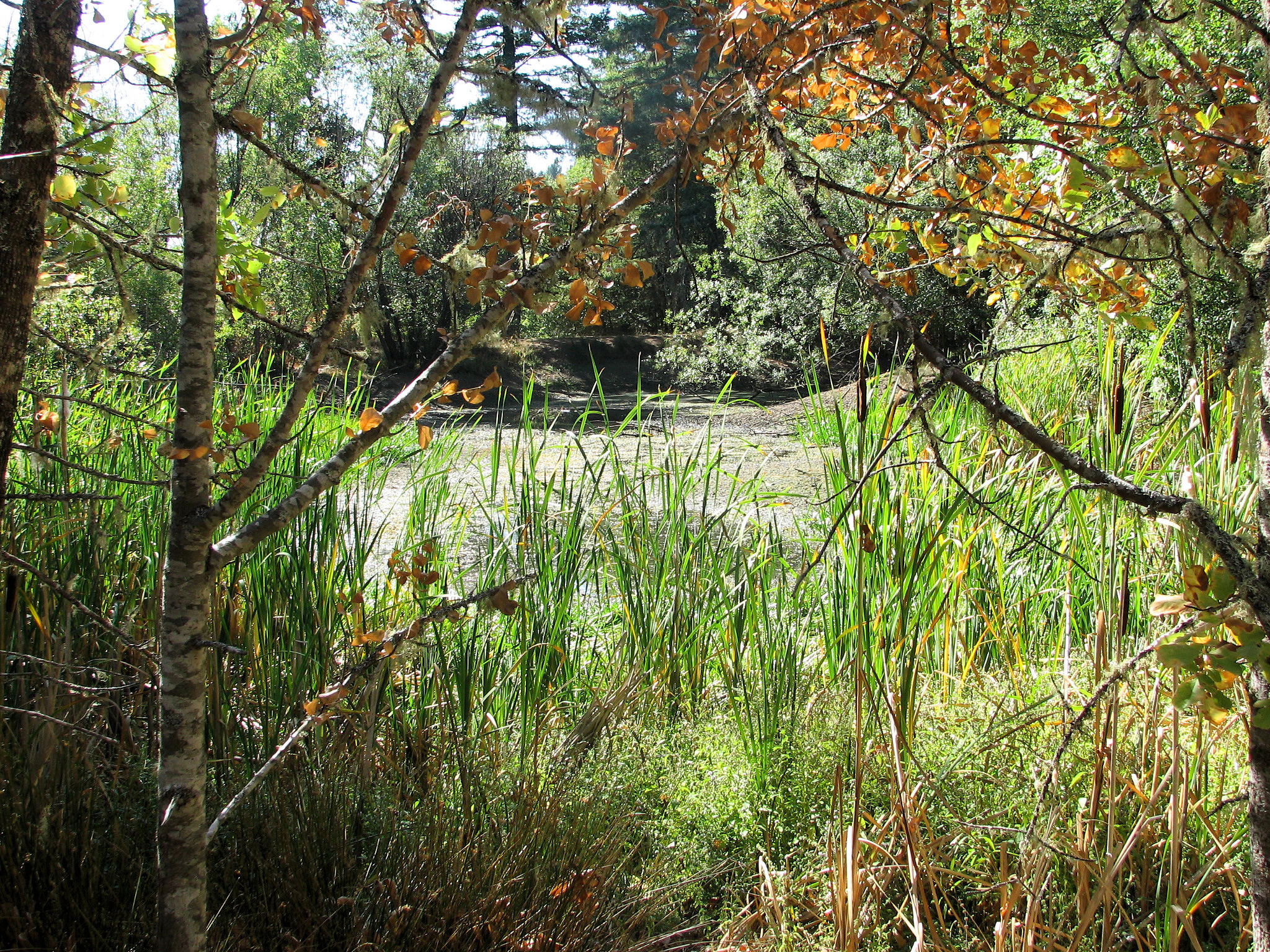
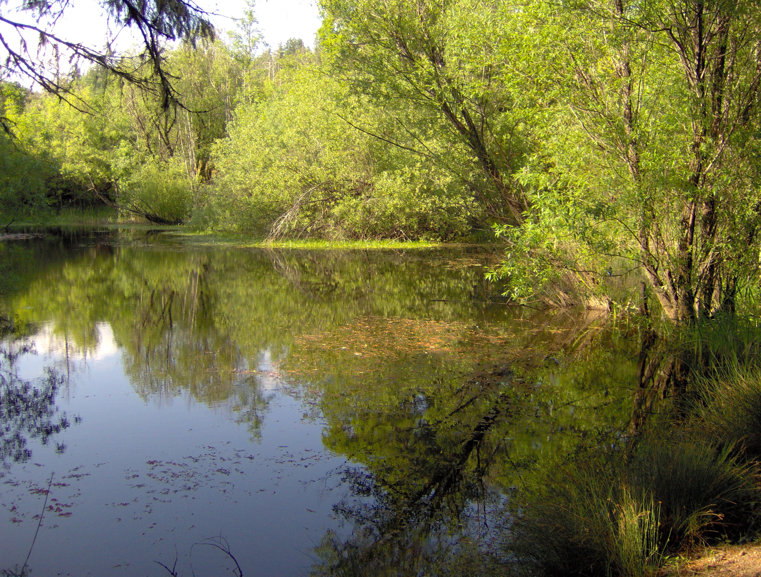
Beeler Pond in August
Rocktree Valley
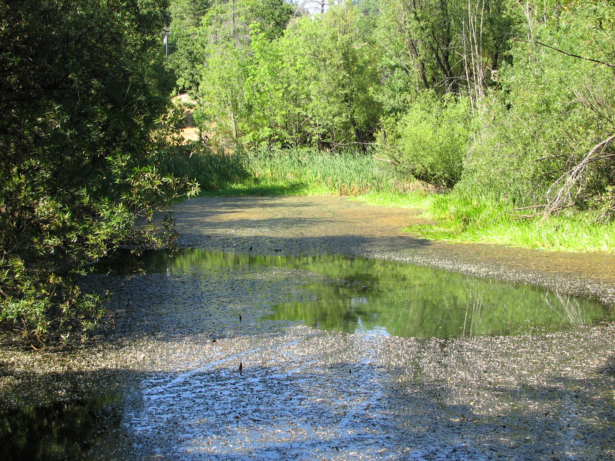
Beeler Pond
Beeler Pond

Storm Coming
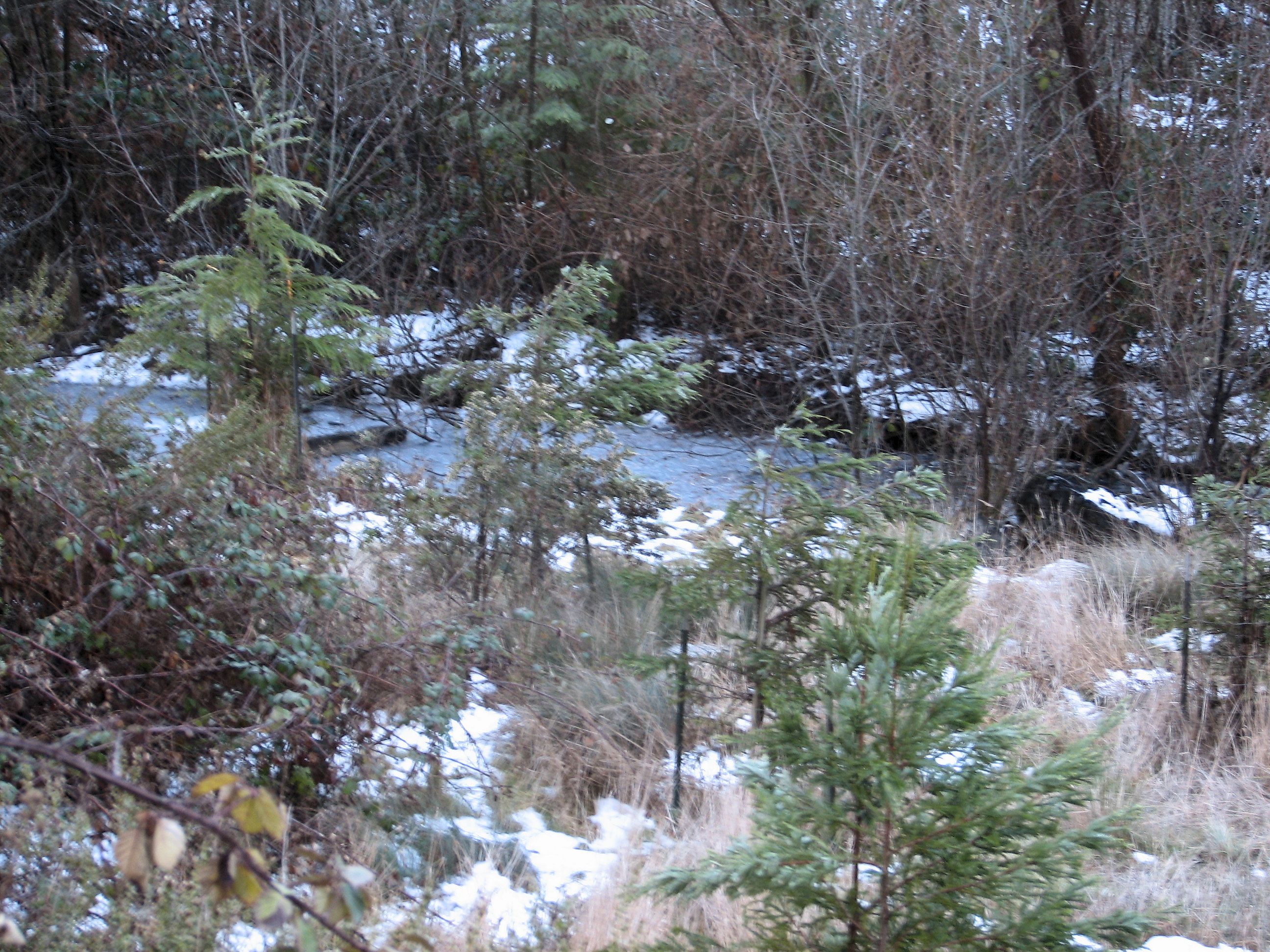
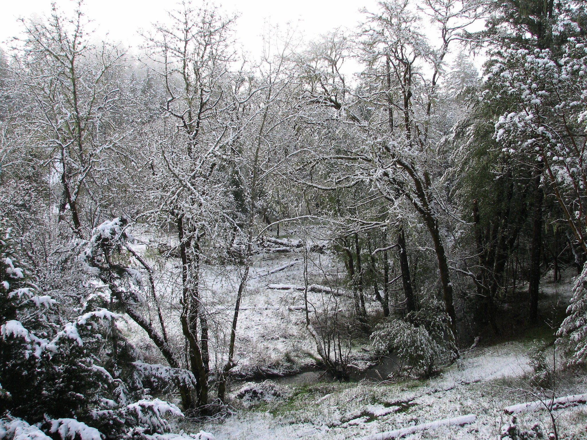
Willits Creek Frozen Over

Misty Mendocino Mountain Morning / October 2012
P6297058A HWY 101 20130629

Cloud on a Kite String
P6297061 HWY 101 20130629
Action Aloft

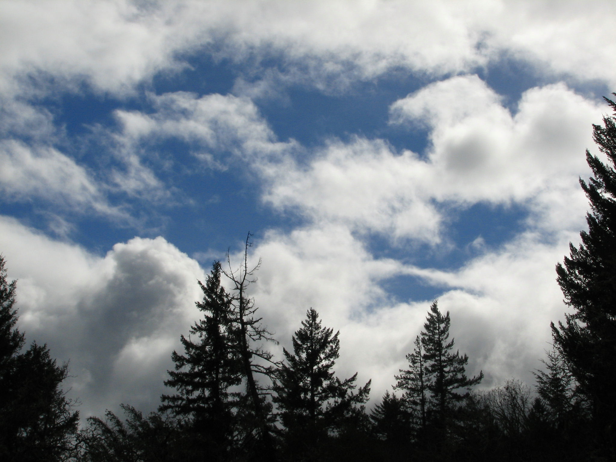
March Skies 2
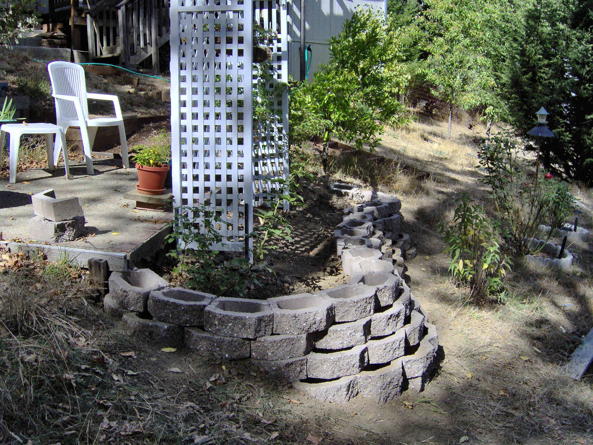
New Retaining Wall
Topographic Map of Mendocino County, CA, USA
Find elevation by address:

Places in Mendocino County, CA, USA:
Fort Bragg
Willits
Gualala
Laytonville
Philo
Hopland
Westport
Mendocino
Point Arena
Leggett
Redwood Valley
Elk
Yorkville
Comptche
Talmage
Albion
Boonville
Piercy
Little River
CA-1, Fort Bragg, CA, USA
Fort Bragg
Fort Bragg
Fort Bragg
Fort Bragg
Fort Bragg
Fort Bragg
Fort Bragg
Fort Bragg
Fort Bragg
Fort Bragg
Fort Bragg
Point Arena
Point Arena
Point Arena
Point Arena
Point Arena
Point Arena
Branscomb Rd, Branscomb, CA, USA
Albion Ridge Rd, Albion, CA, USA
Comptche Ukiah Rd, Comptche, CA, USA
Caspar
Fair Oaks
Ingram
Branscomb
Calpella
Navarro
Places near Mendocino County, CA, USA:
Sherwood School
28651 Skyview Rd
28651 Skyview Rd
US-, Willits, CA, USA
3501 3rd Gate Rd
Timberline Road
4920 Blue Lake Rd
26901 Ridge Rd
Covelo Rd, Willits, CA, USA
27111 Oriole Dr
1376 Tuck Rd
Primrose Dr, Willits, CA, USA
43601 Covelo Rd
Shake City Rd, Willits, CA, USA
320 Mulligan Ln
25510 Daisy Ln
3509 Primrose Dr
3049 Primrose Dr
2990 Primrose Dr
Fort Bragg Rd, Willits, CA, USA
Recent Searches:
- Elevation of Corso Fratelli Cairoli, 35, Macerata MC, Italy
- Elevation of Tallevast Rd, Sarasota, FL, USA
- Elevation of 4th St E, Sonoma, CA, USA
- Elevation of Black Hollow Rd, Pennsdale, PA, USA
- Elevation of Oakland Ave, Williamsport, PA, USA
- Elevation of Pedrógão Grande, Portugal
- Elevation of Klee Dr, Martinsburg, WV, USA
- Elevation of Via Roma, Pieranica CR, Italy
- Elevation of Tavkvetili Mountain, Georgia
- Elevation of Hartfords Bluff Cir, Mt Pleasant, SC, USA