Elevation of Laytonville, CA, USA
Location: United States > California > Mendocino County >
Longitude: -123.48279
Latitude: 39.6882116
Elevation: 509m / 1670feet
Barometric Pressure: 95KPa
Elevation Map:
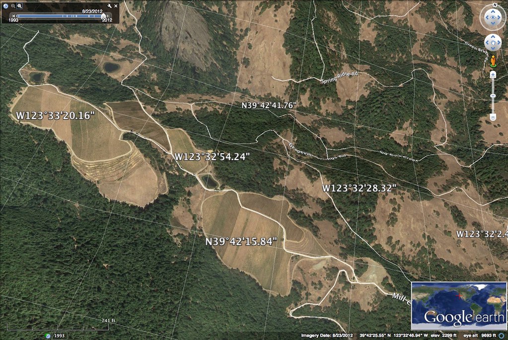
Satellite Map:
Related Photos:
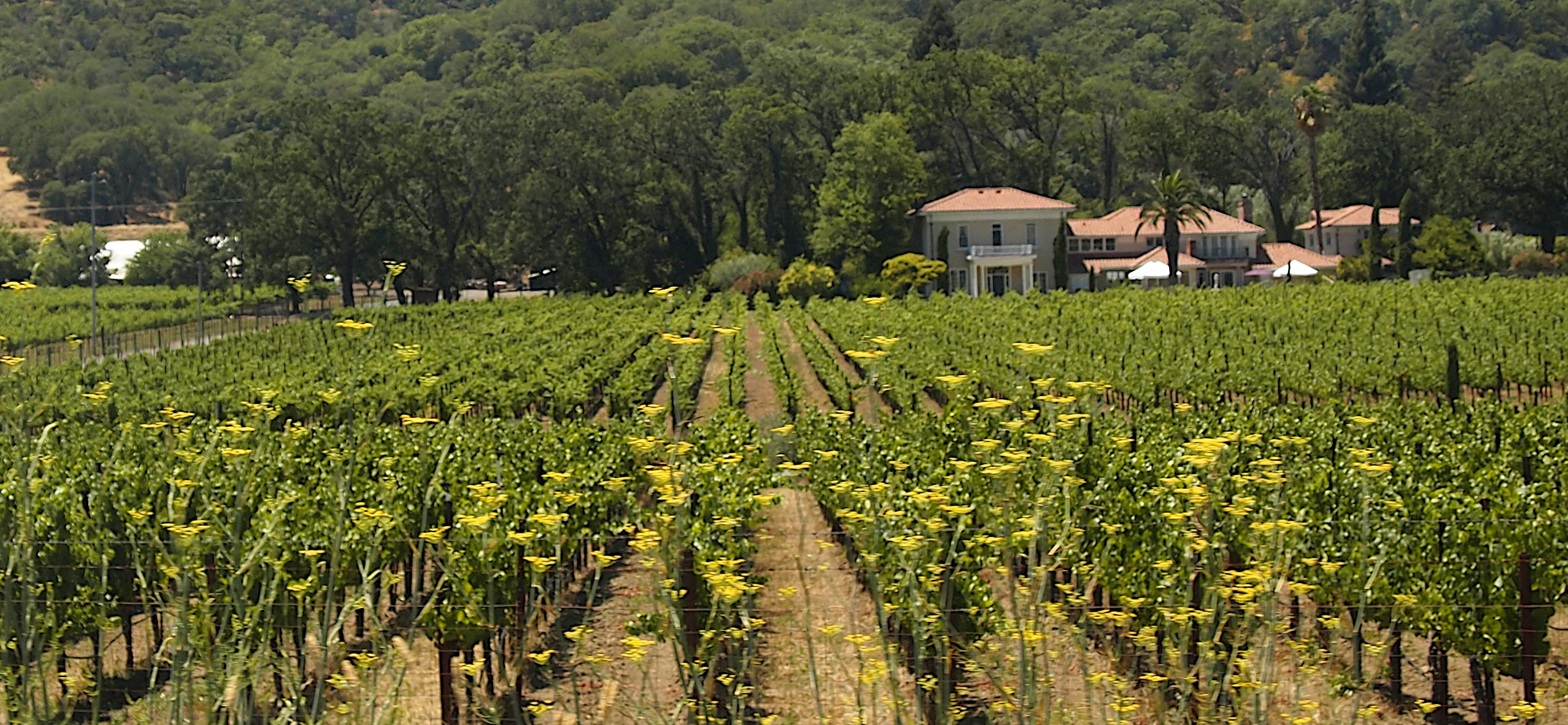
Mendocino Terraced Farm - h
Road View from the Rest Stop
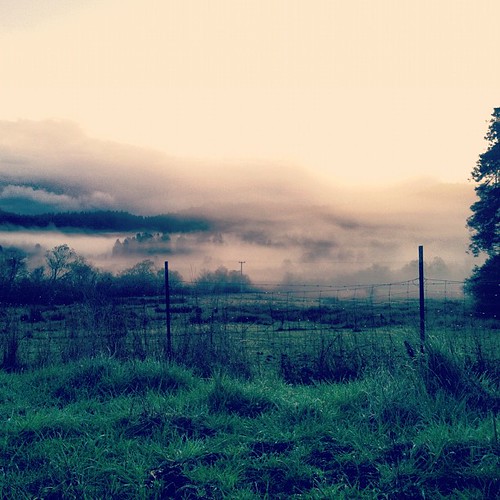
misty morning.
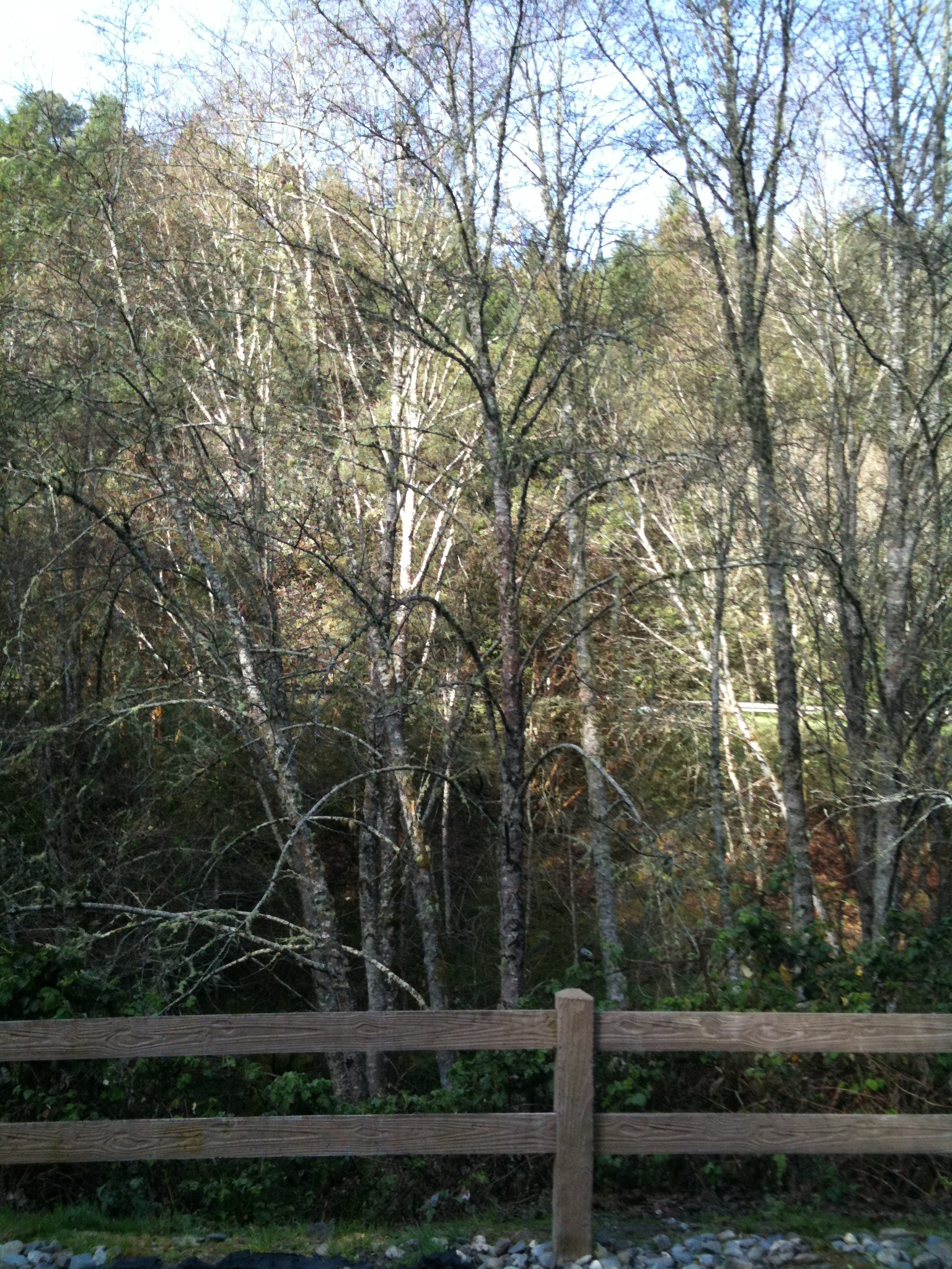
As above. #eelriver #laytonville #covelo #winter #river #birch #lowsun
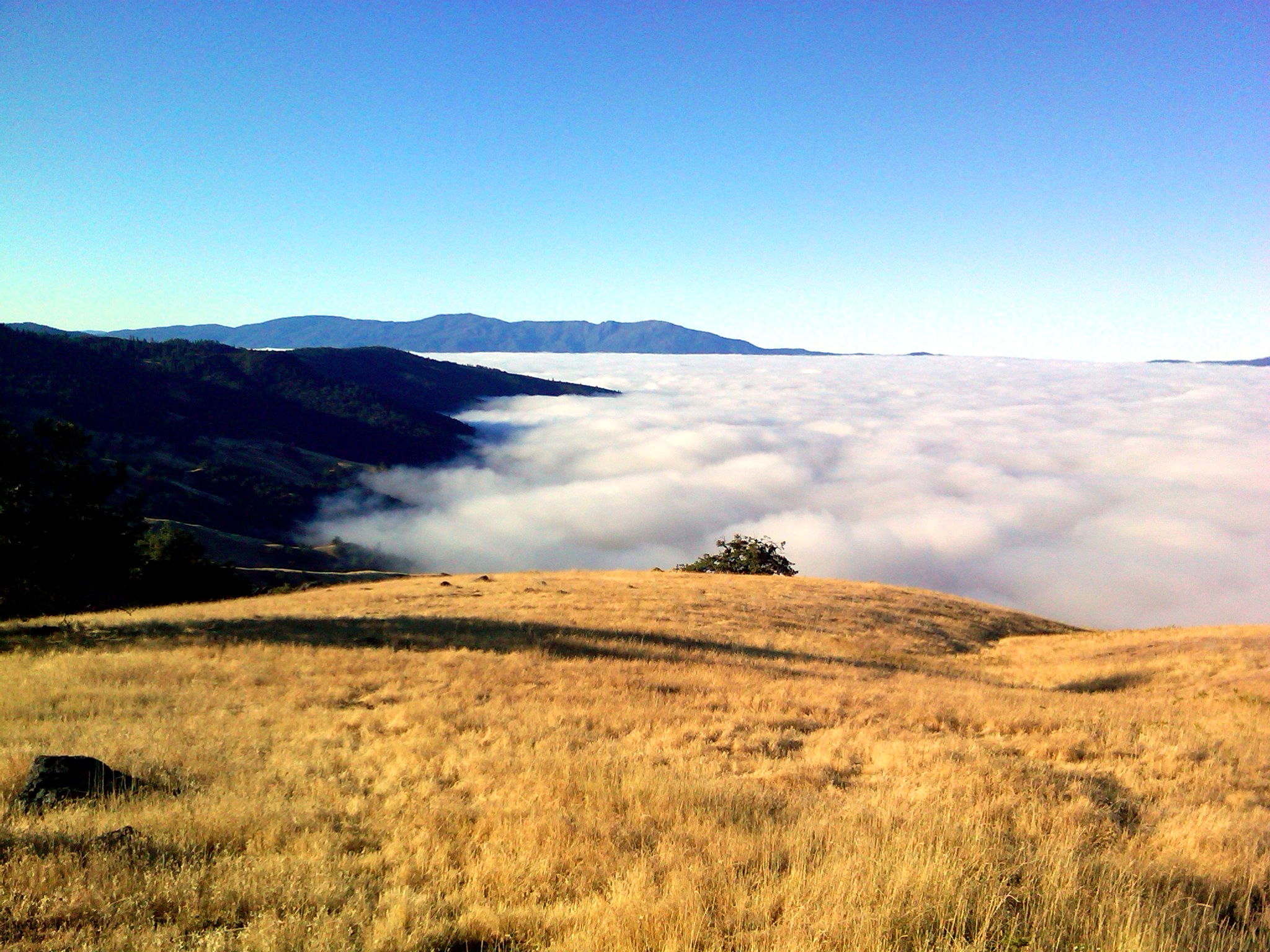
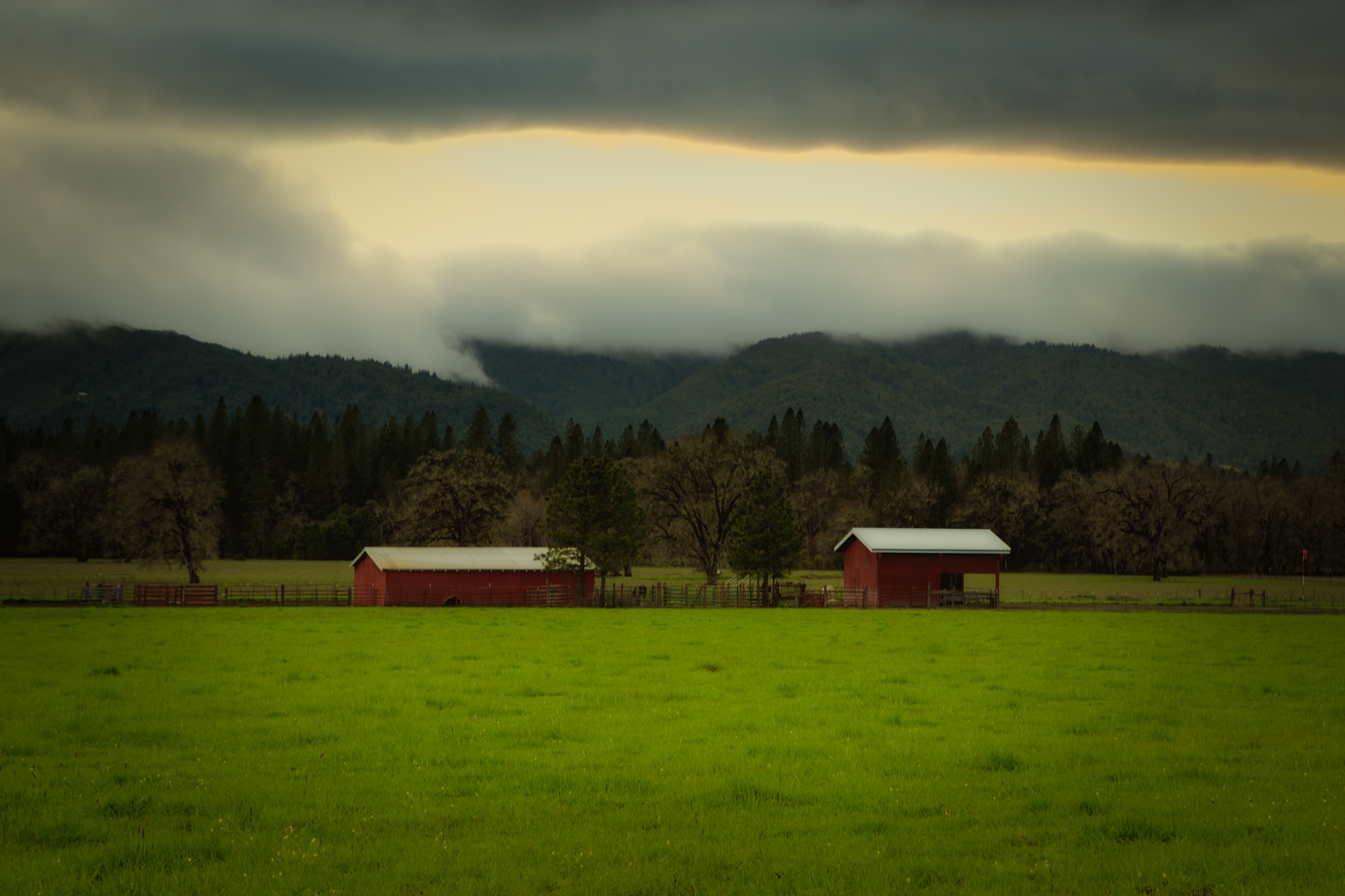
Cloud Sea in Mendo
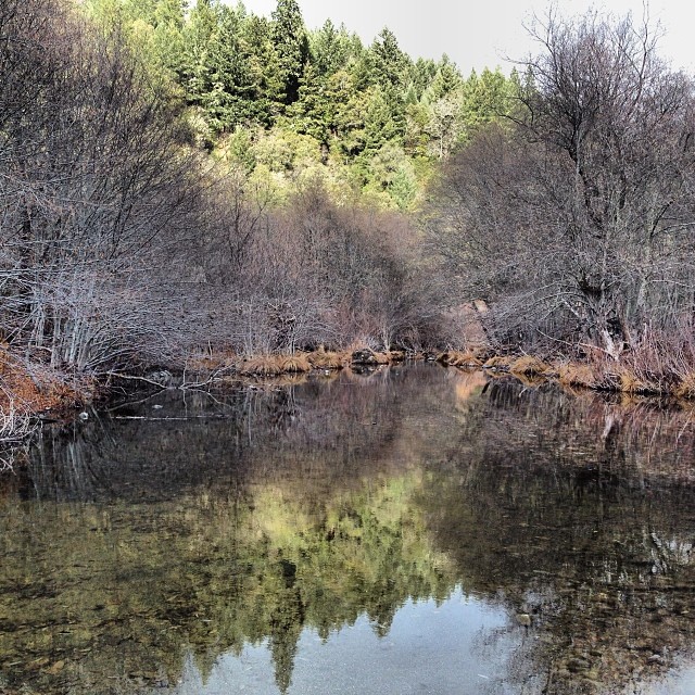
Eel River

Catching up on the latest buzz around the garden
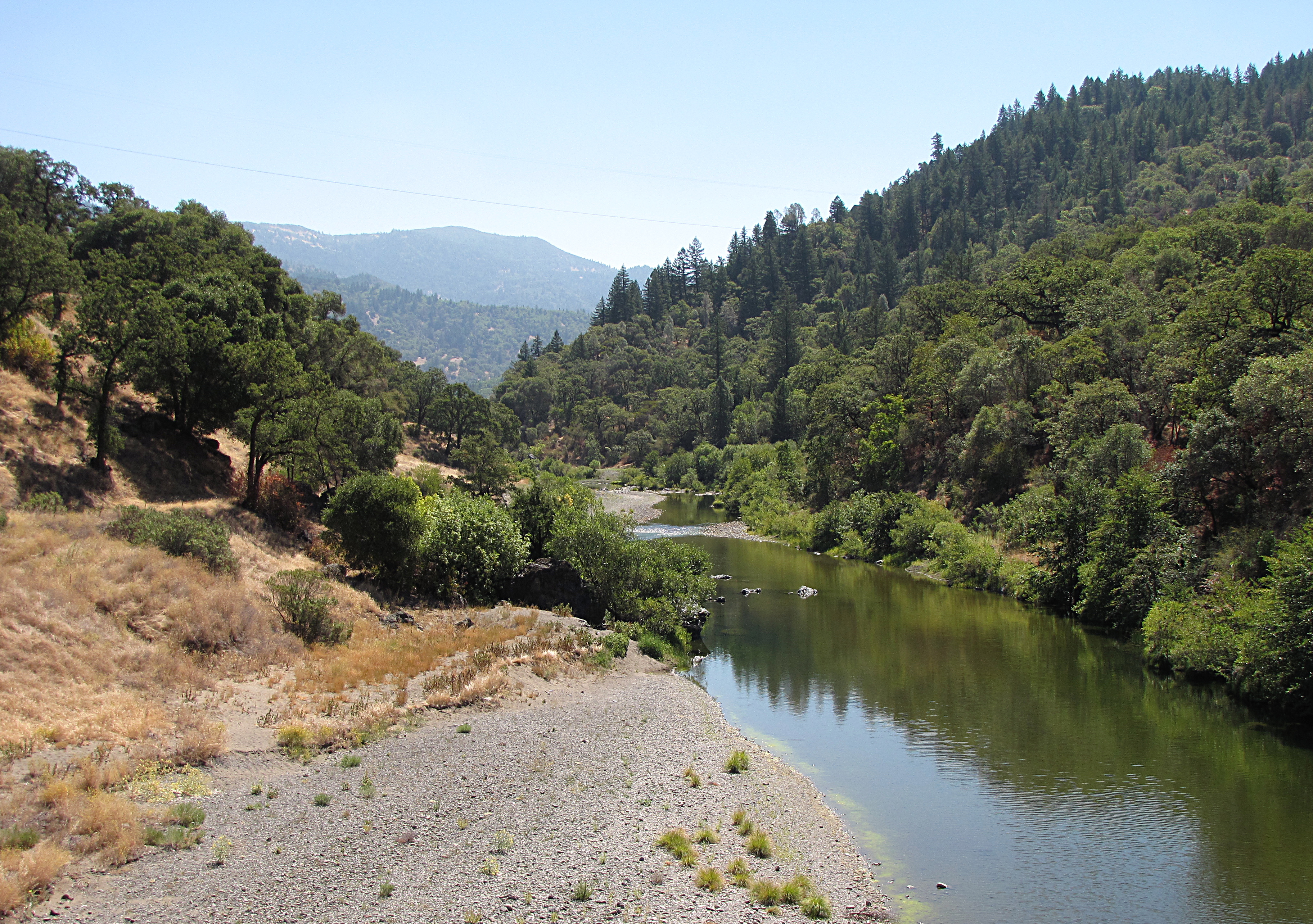
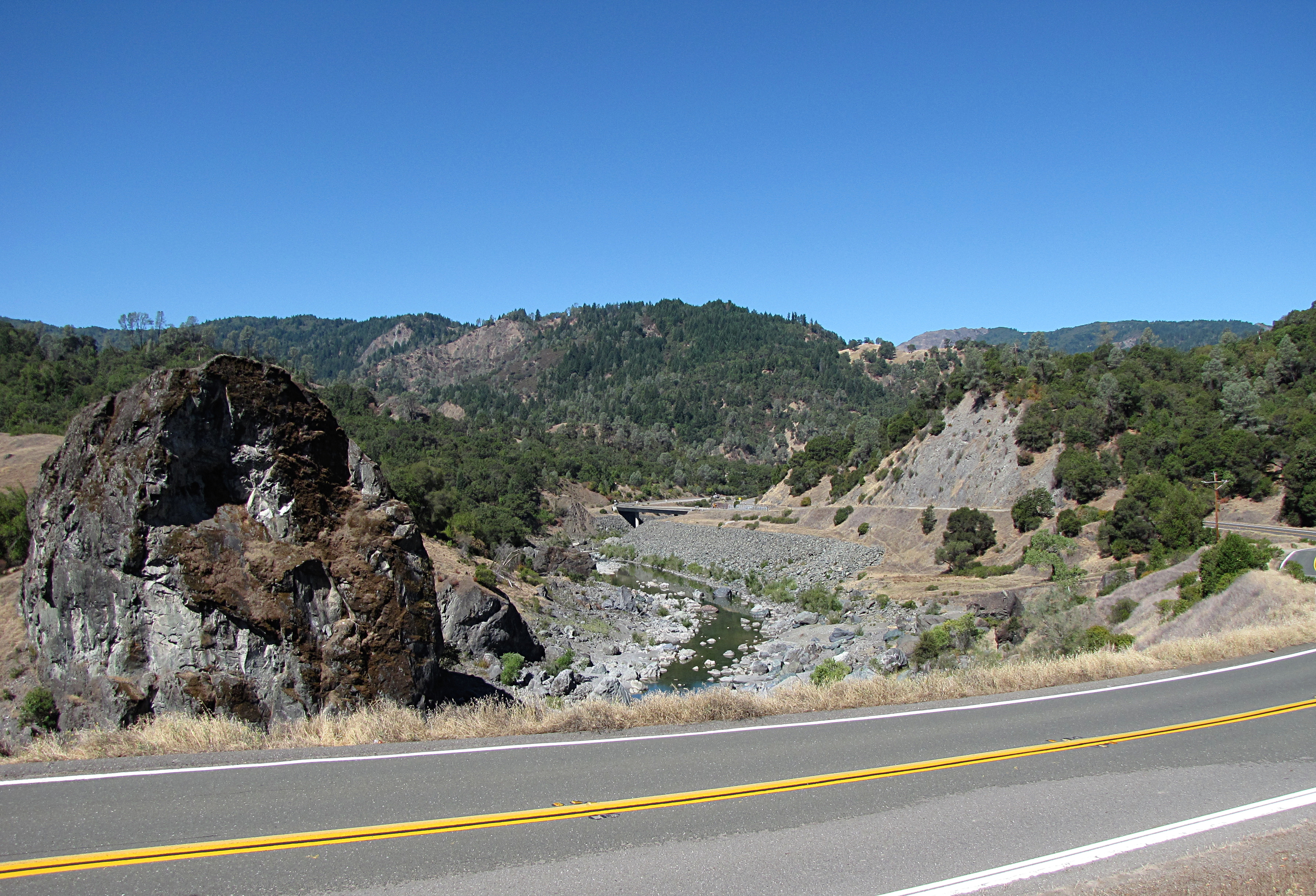
The Eel River
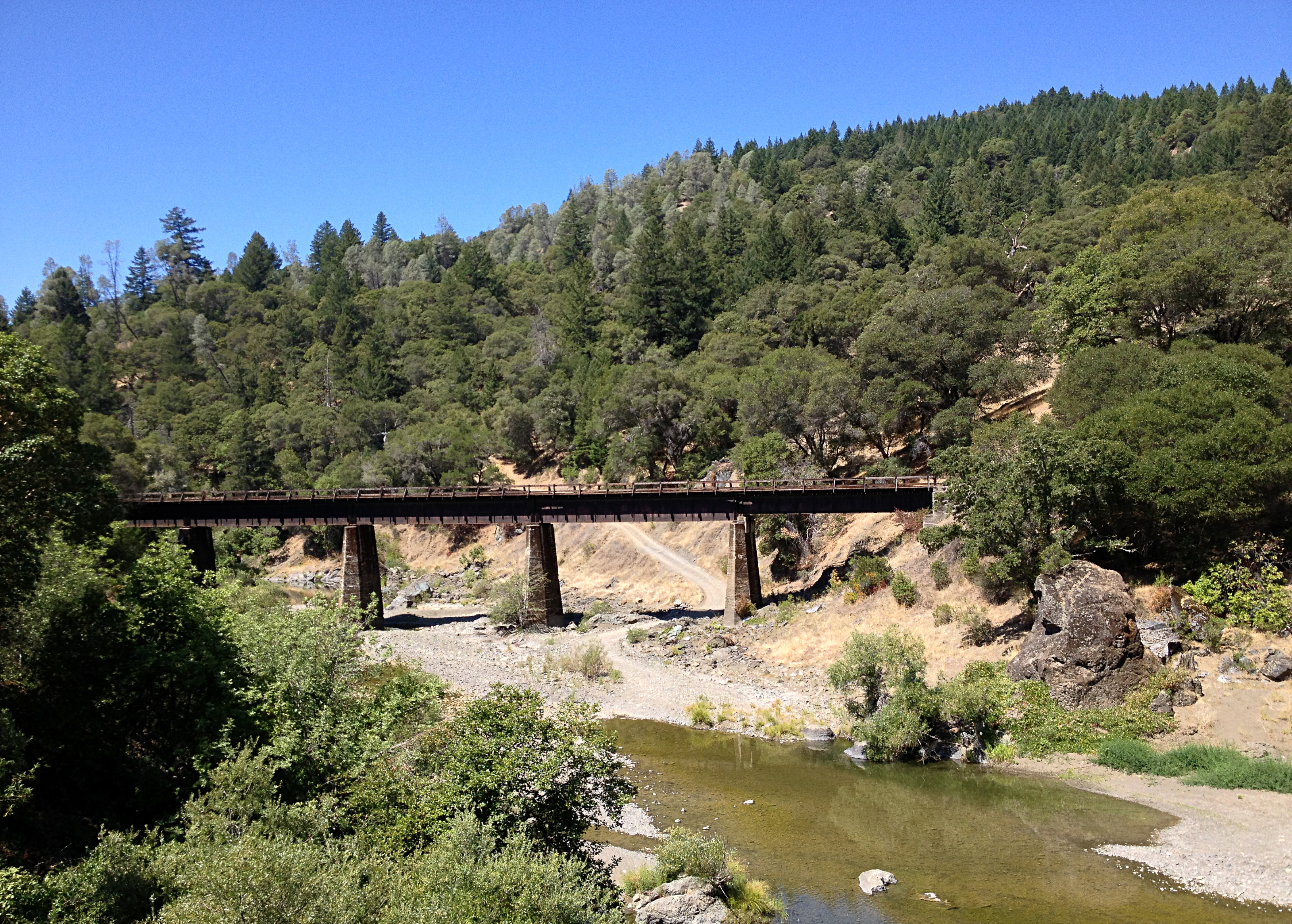
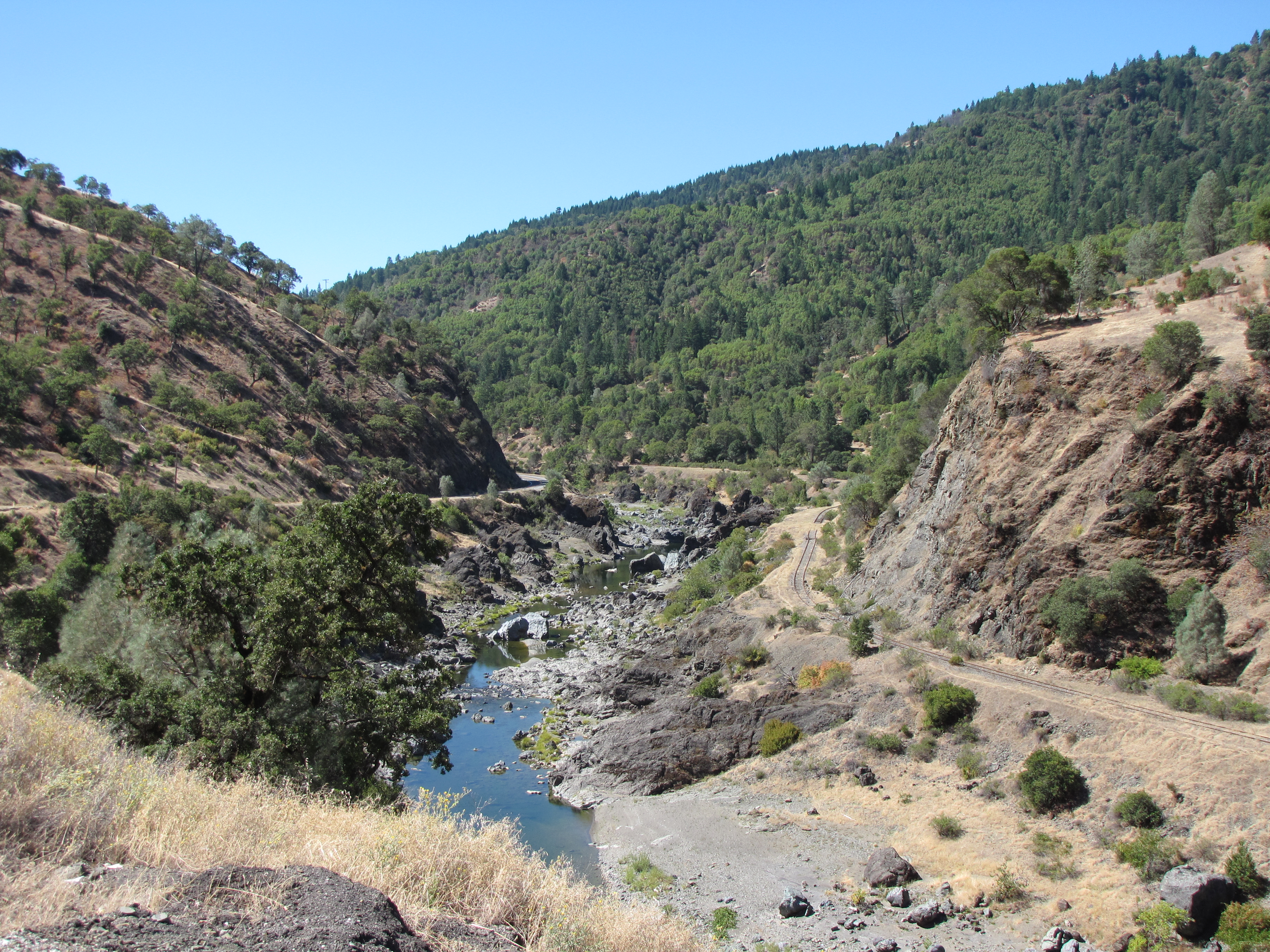
Old Railroad
Near Dos Rios
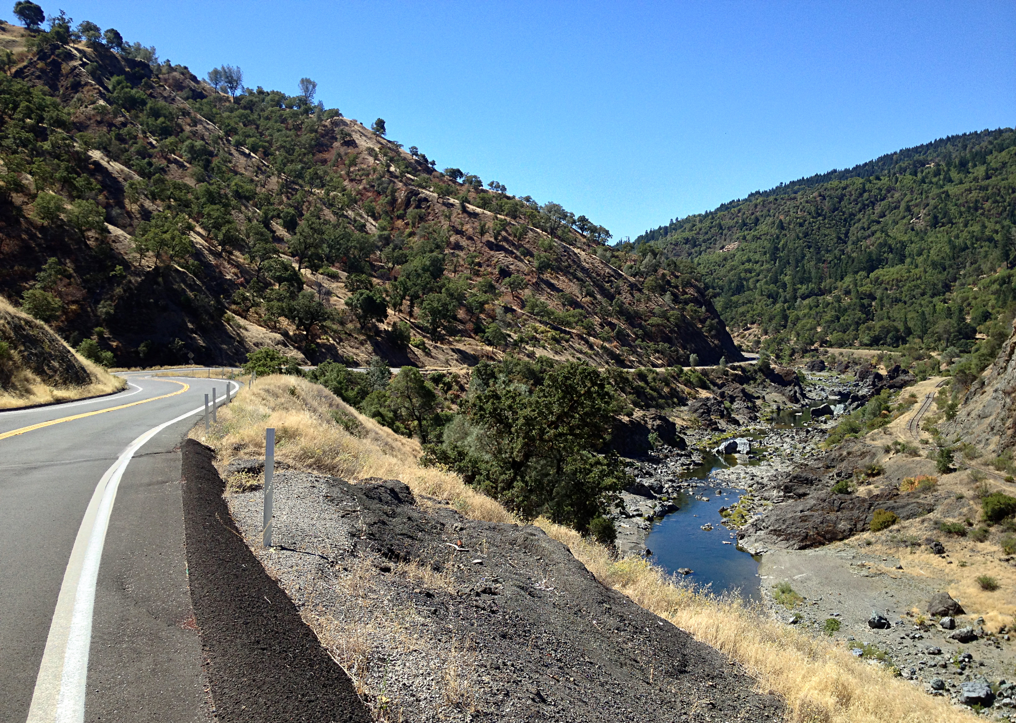
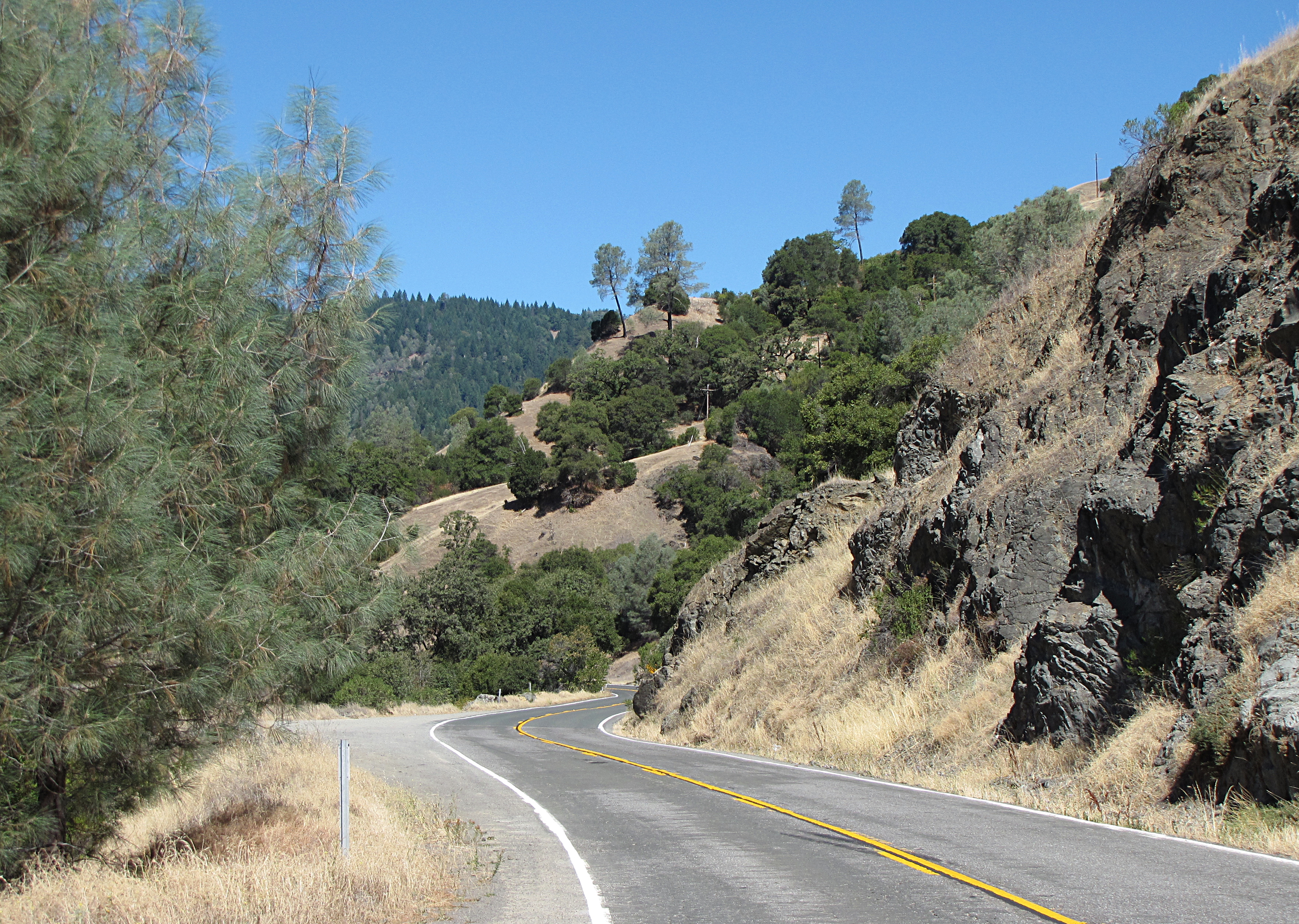
Road, River, and Rail
The North Fork
Middle Fork, Eel River
The kind of traffic I like...
Cooling off after a long, hot afternoon

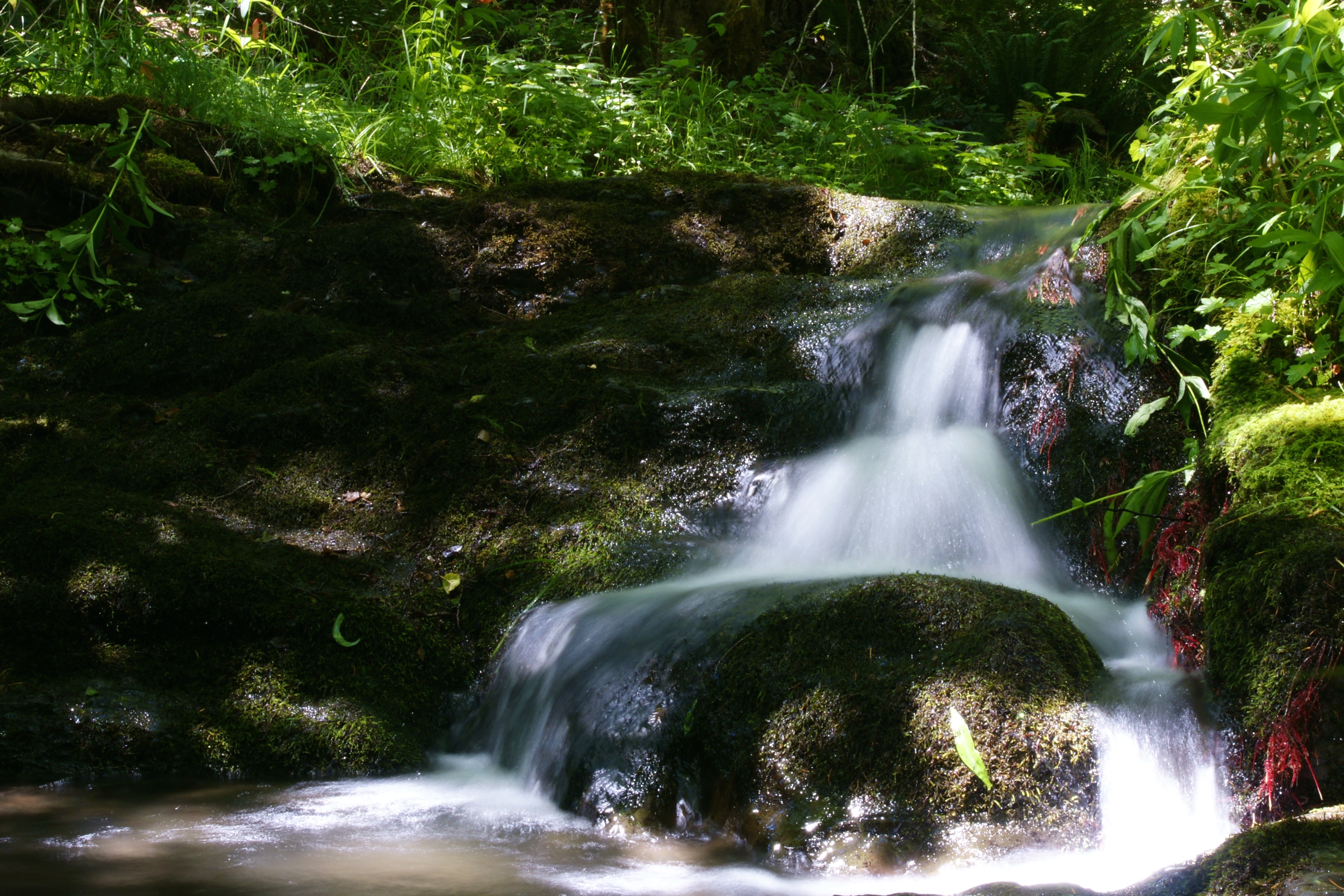
The creek
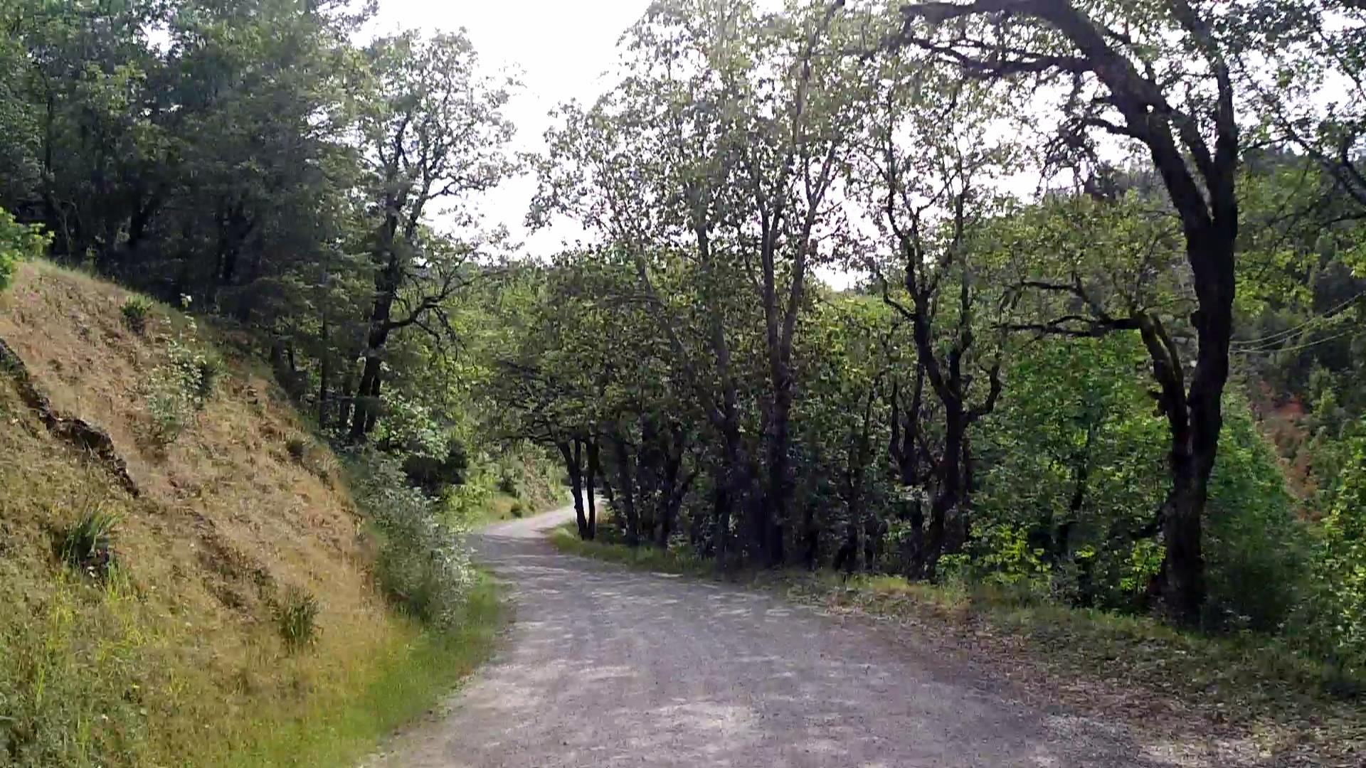
Along Sherwood Road
Unexpected Simplicity
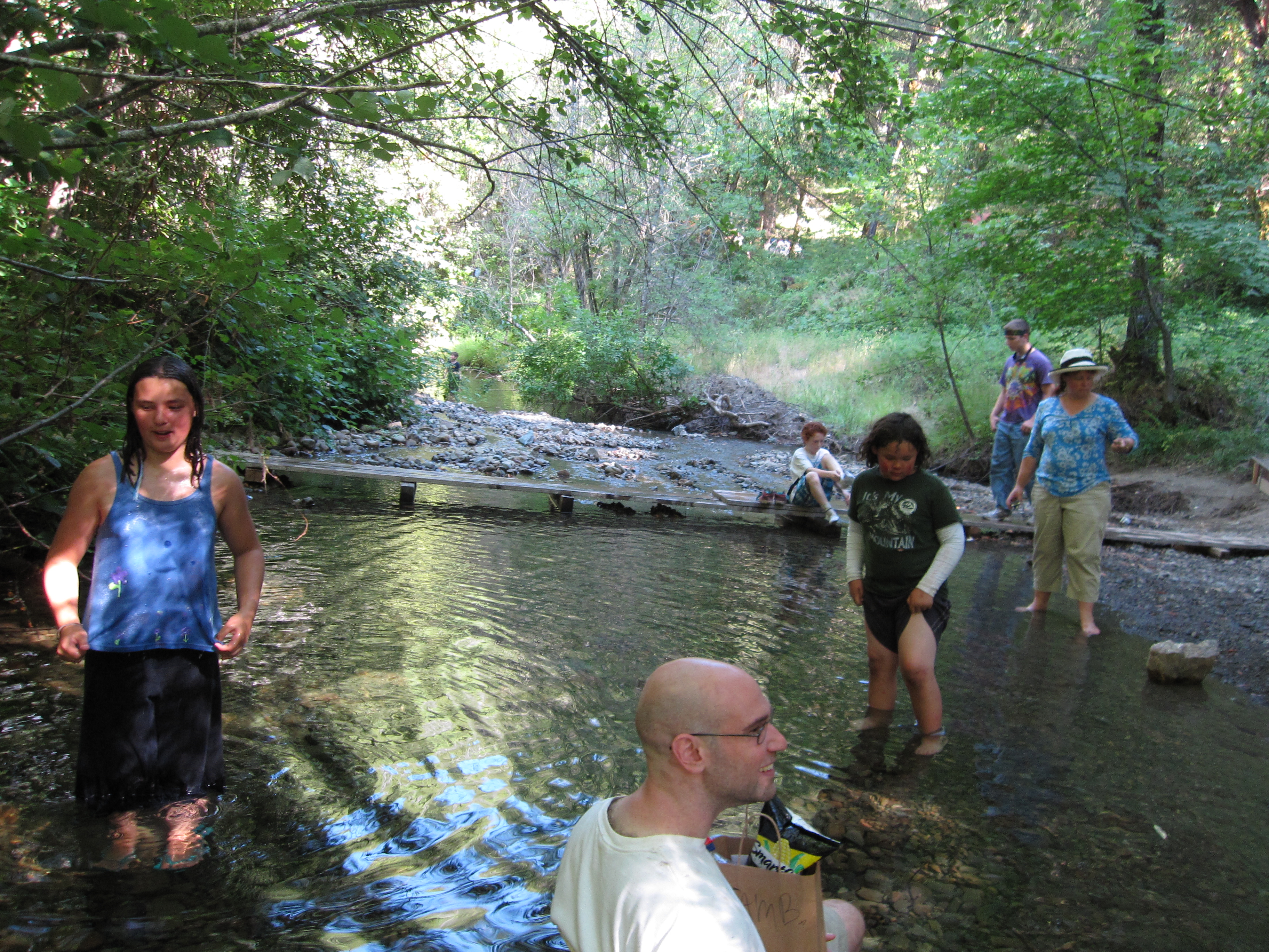
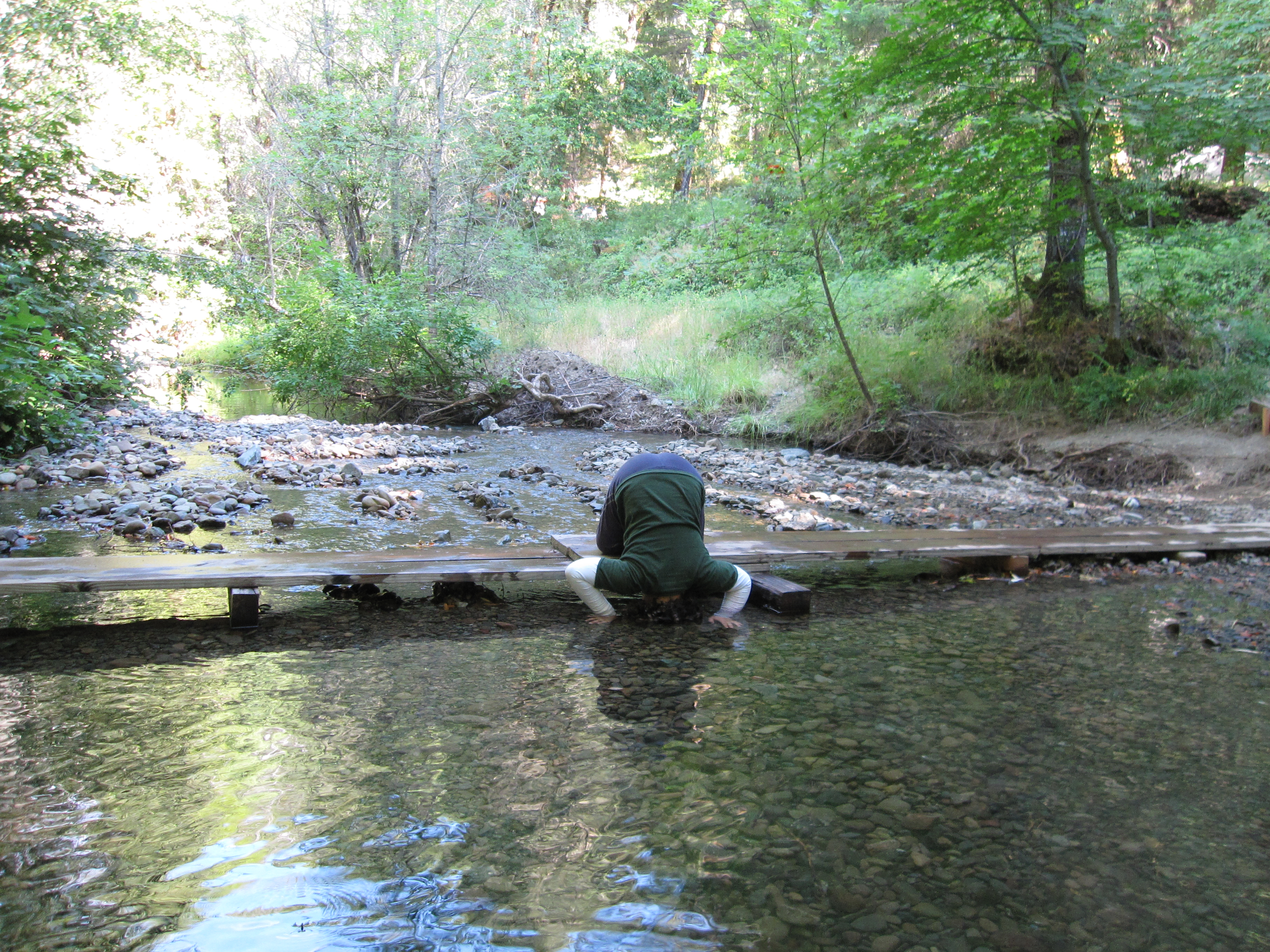
Wading in the stream
P7077779 HWY 101 20130707
ATR20120722T12-32-35DSC02878
Lost-Coast_17
Topographic Map of Laytonville, CA, USA
Find elevation by address:

Places in Laytonville, CA, USA:
US-, Laytonville, CA, USA
N Hwy, Laytonville, CA, USA
Simmerly Ranch Rd, Laytonville, CA, USA
US-, Laytonville, CA, USA
Places near Laytonville, CA, USA:
US-, Laytonville, CA, USA
320 Mulligan Ln
525 Ten Mile Creek Rd
4271 Fox Rock Rd
4271 Fox Rock Rd
4271 Fox Rock Rd
4271 Fox Rock Rd
47221 Fox Rock Rd
8601 Woodman Canyon Rd
Simmerly Rd, Covelo, CA, USA
Woodman Creek Rd, Covelo, CA, USA
N Hwy, Laytonville, CA, USA
Simmerly Rd, Covelo, CA, USA
Covelo Rd, Willits, CA, USA
Mendocino County
Covelo Rd, Willits, CA, USA
Branscomb
Branscomb Rd, Branscomb, CA, USA
43601 Covelo Rd
US-, Laytonville, CA, USA
Recent Searches:
- Elevation of Corso Fratelli Cairoli, 35, Macerata MC, Italy
- Elevation of Tallevast Rd, Sarasota, FL, USA
- Elevation of 4th St E, Sonoma, CA, USA
- Elevation of Black Hollow Rd, Pennsdale, PA, USA
- Elevation of Oakland Ave, Williamsport, PA, USA
- Elevation of Pedrógão Grande, Portugal
- Elevation of Klee Dr, Martinsburg, WV, USA
- Elevation of Via Roma, Pieranica CR, Italy
- Elevation of Tavkvetili Mountain, Georgia
- Elevation of Hartfords Bluff Cir, Mt Pleasant, SC, USA