Elevation of Simmerly Ranch Rd, Laytonville, CA, USA
Location: United States > California > Mendocino County > Laytonville >
Longitude: -123.43482
Latitude: 39.848506
Elevation: 322m / 1056feet
Barometric Pressure: 98KPa
Elevation Map:
Satellite Map:
Related Photos:
2012.10.05-08 - San Francisco & Hwy 101
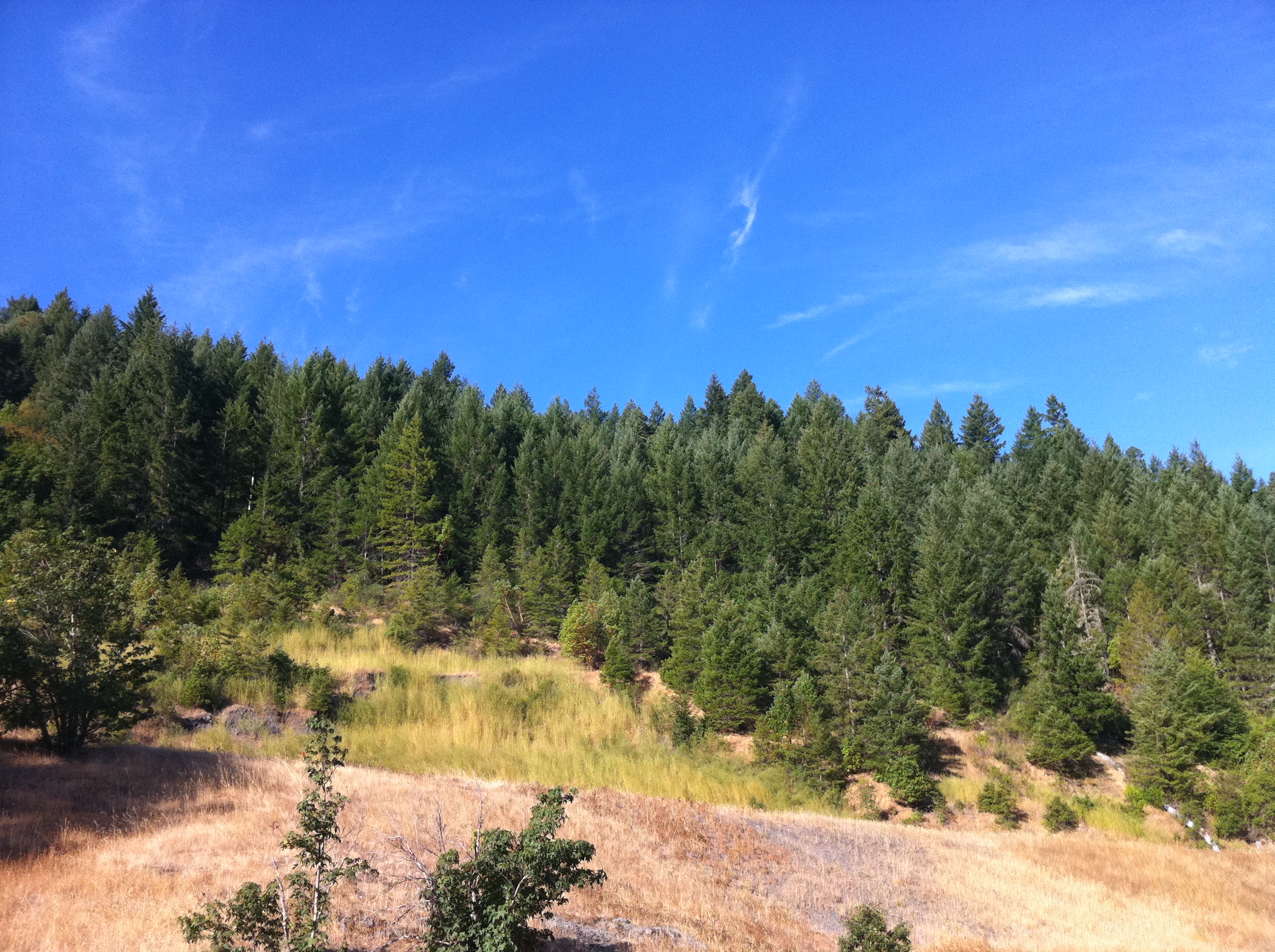
two seasons
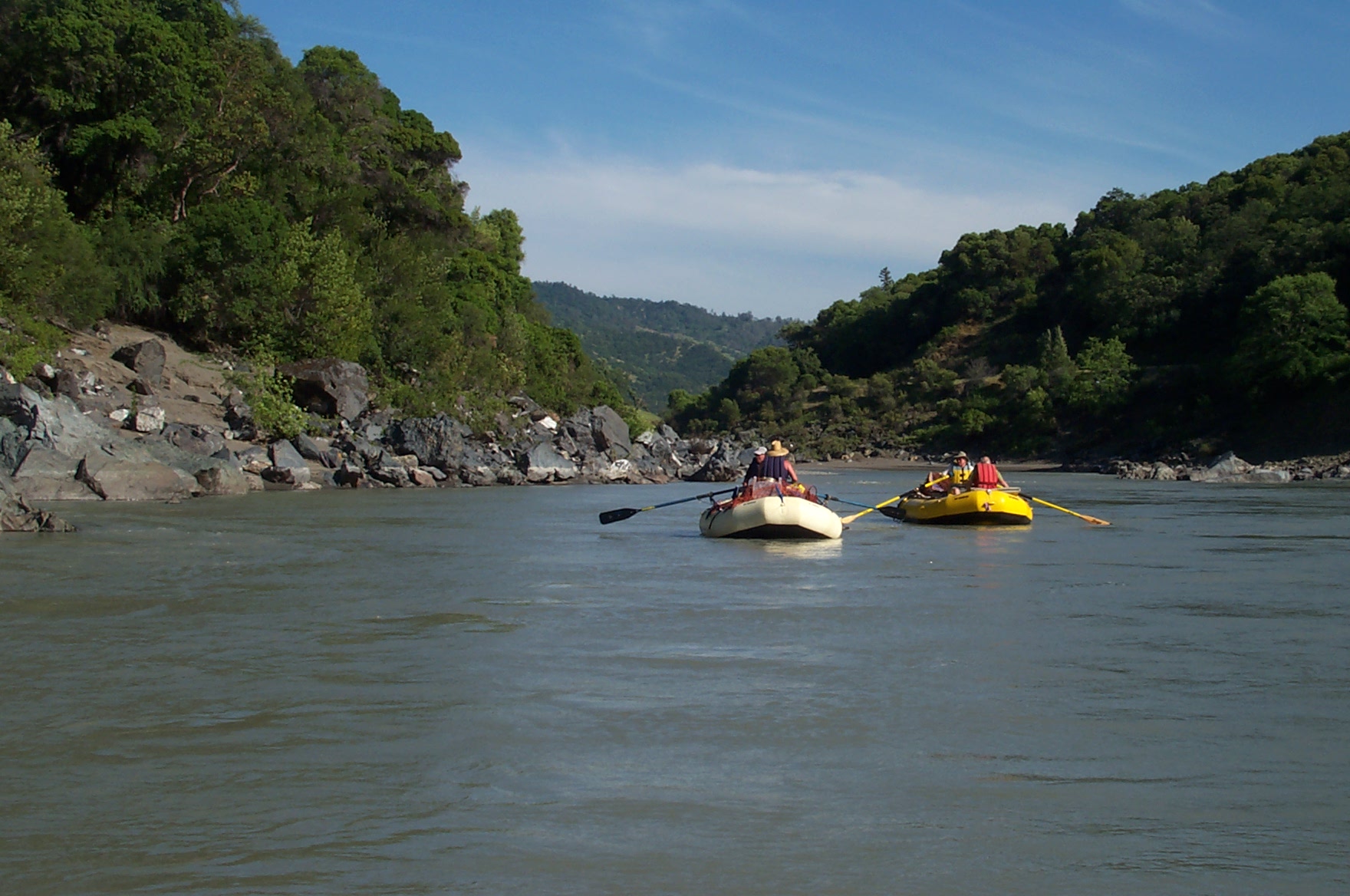
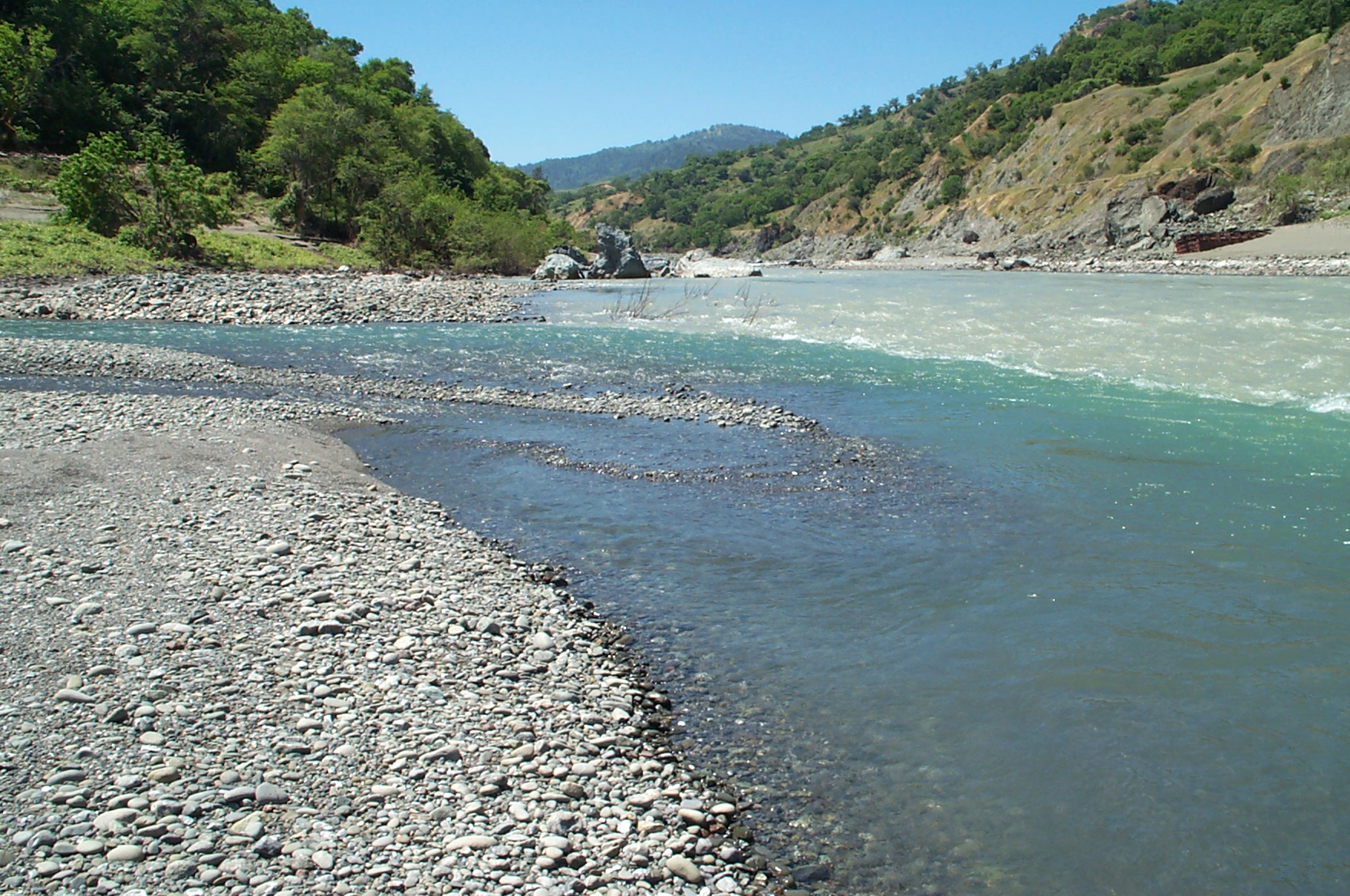
Eel River
storm's coming
Cooling off after a long, hot afternoon

The creek

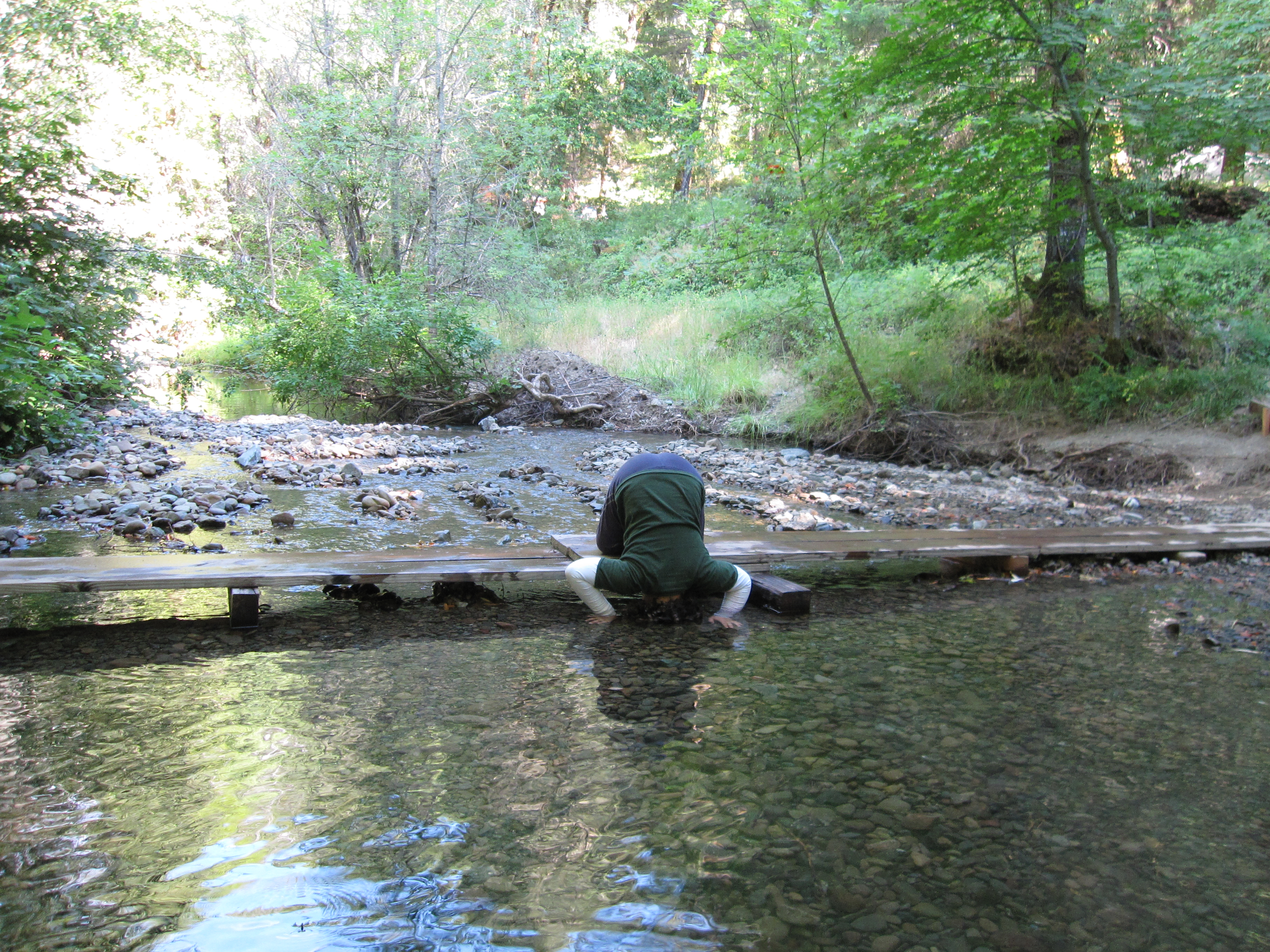
Wading in the stream
Eel River
Pacific Coast
Eel River
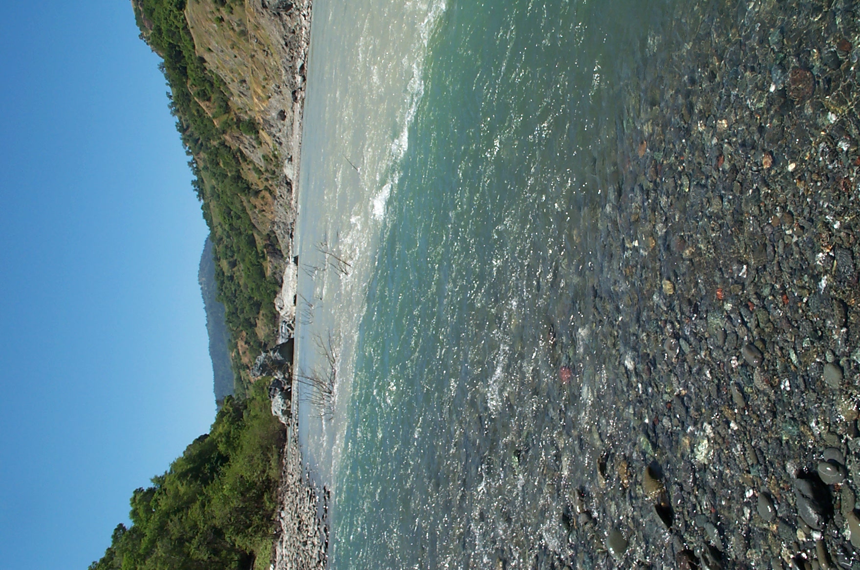
Eel River

Eel River
Lost-Coast_26

Lost-Coast_20
Lost-Coast_28

Lost-Coast_23
Topographic Map of Simmerly Ranch Rd, Laytonville, CA, USA
Find elevation by address:

Places near Simmerly Ranch Rd, Laytonville, CA, USA:
Simmerly Rd, Covelo, CA, USA
Simmerly Rd, Covelo, CA, USA
Woodman Creek Rd, Covelo, CA, USA
Covelo Rdfuse Rd, Covelo, CA, USA
Island Mountain Rd, Willits, CA, USA
US-, Laytonville, CA, USA
47221 Fox Rock Rd
4271 Fox Rock Rd
4271 Fox Rock Rd
4271 Fox Rock Rd
4271 Fox Rock Rd
8601 Woodman Canyon Rd
N Hwy, Laytonville, CA, USA
61900 Bell Springs Rd
525 Ten Mile Creek Rd
Laytonville
US-, Laytonville, CA, USA
US-, Leggett, CA, USA
Airport Road
320 Mulligan Ln
Recent Searches:
- Elevation of Corso Fratelli Cairoli, 35, Macerata MC, Italy
- Elevation of Tallevast Rd, Sarasota, FL, USA
- Elevation of 4th St E, Sonoma, CA, USA
- Elevation of Black Hollow Rd, Pennsdale, PA, USA
- Elevation of Oakland Ave, Williamsport, PA, USA
- Elevation of Pedrógão Grande, Portugal
- Elevation of Klee Dr, Martinsburg, WV, USA
- Elevation of Via Roma, Pieranica CR, Italy
- Elevation of Tavkvetili Mountain, Georgia
- Elevation of Hartfords Bluff Cir, Mt Pleasant, SC, USA