Elevation of US-, Laytonville, CA, USA
Location: United States > California > Mendocino County > Laytonville >
Longitude: -123.56609
Latitude: 39.823432
Elevation: 433m / 1421feet
Barometric Pressure: 96KPa
Elevation Map:
Satellite Map:
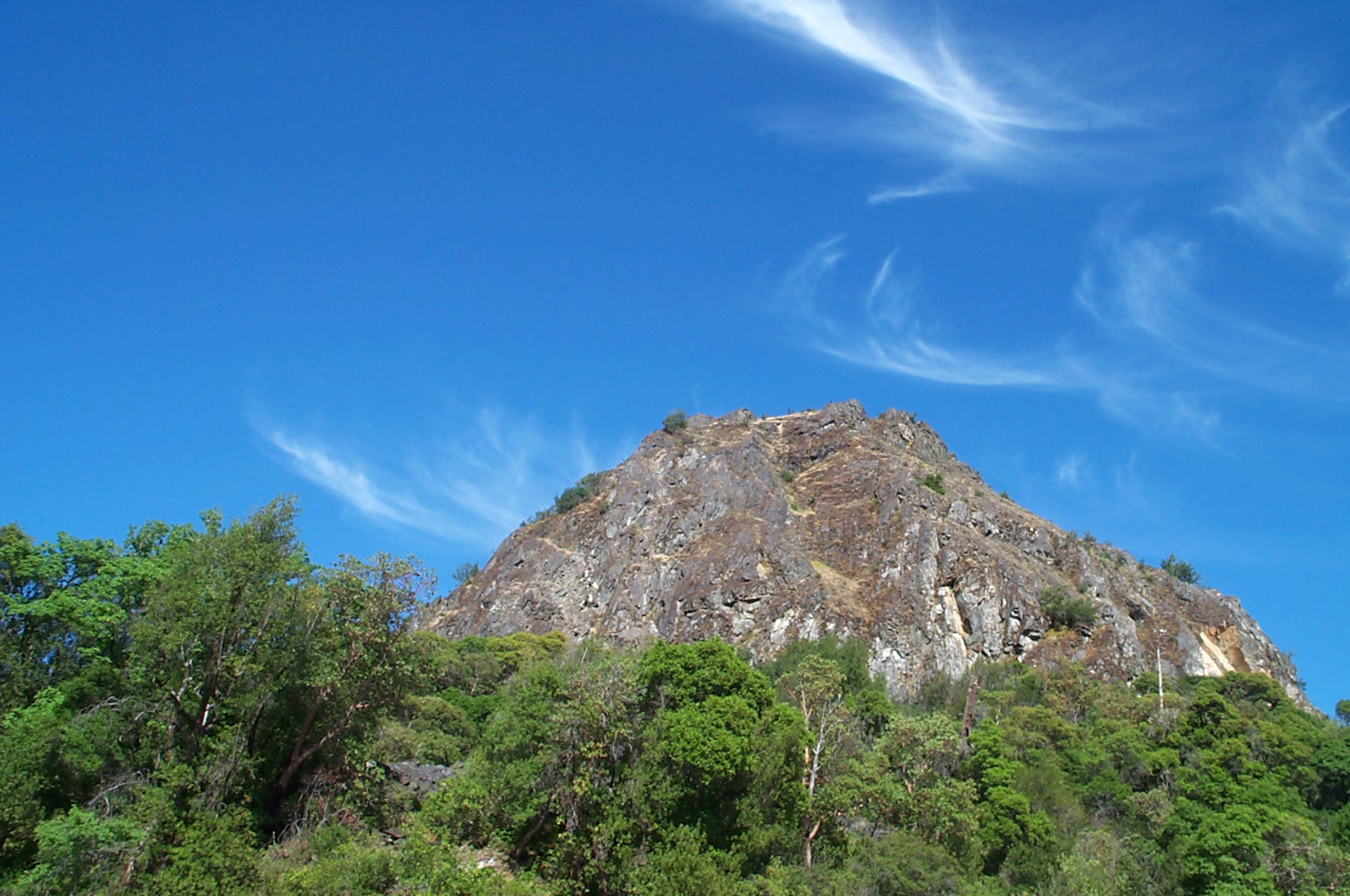
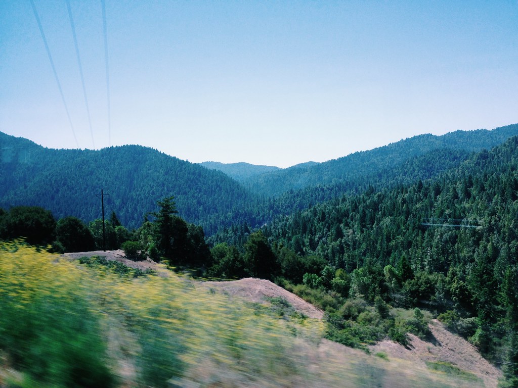
Related Photos:

This is my view at work, two evenings a week.

Inside, looking out
Vacation IVa- Redwoods Day One 3

Another view
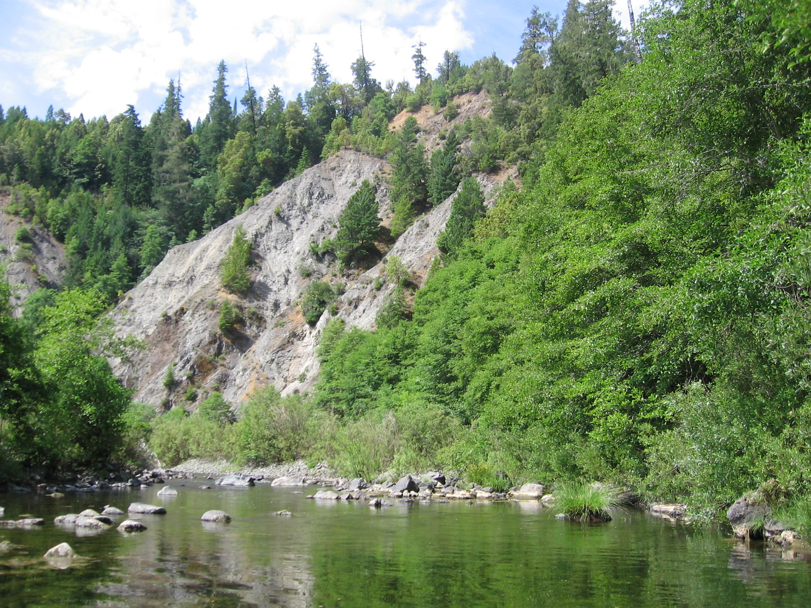
river view
A chipmunk's eye view
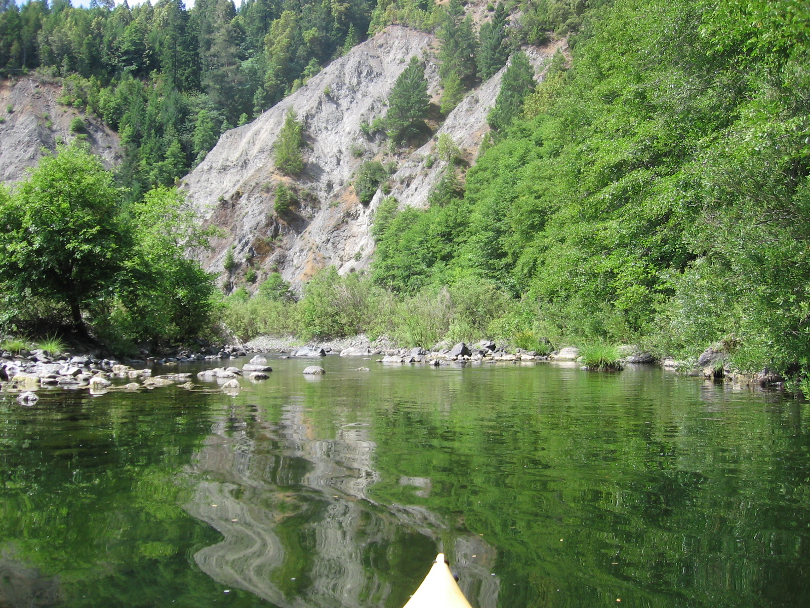
river view

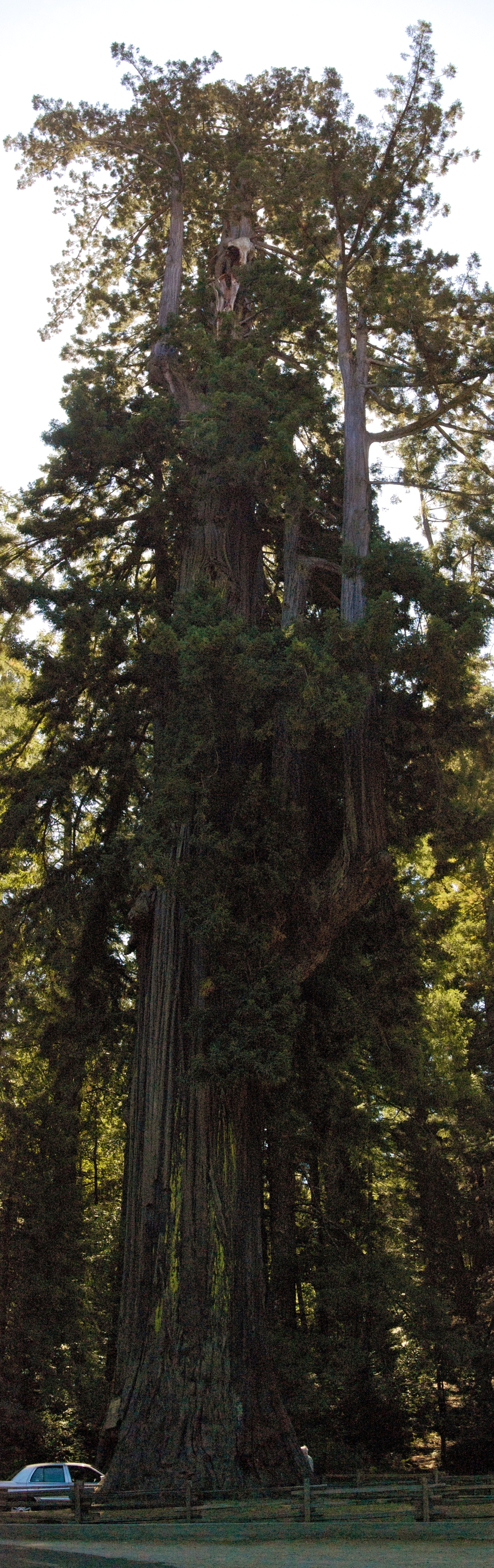
USA // California // Leggett // Chandelier Tree (Sequoia sempervirens)
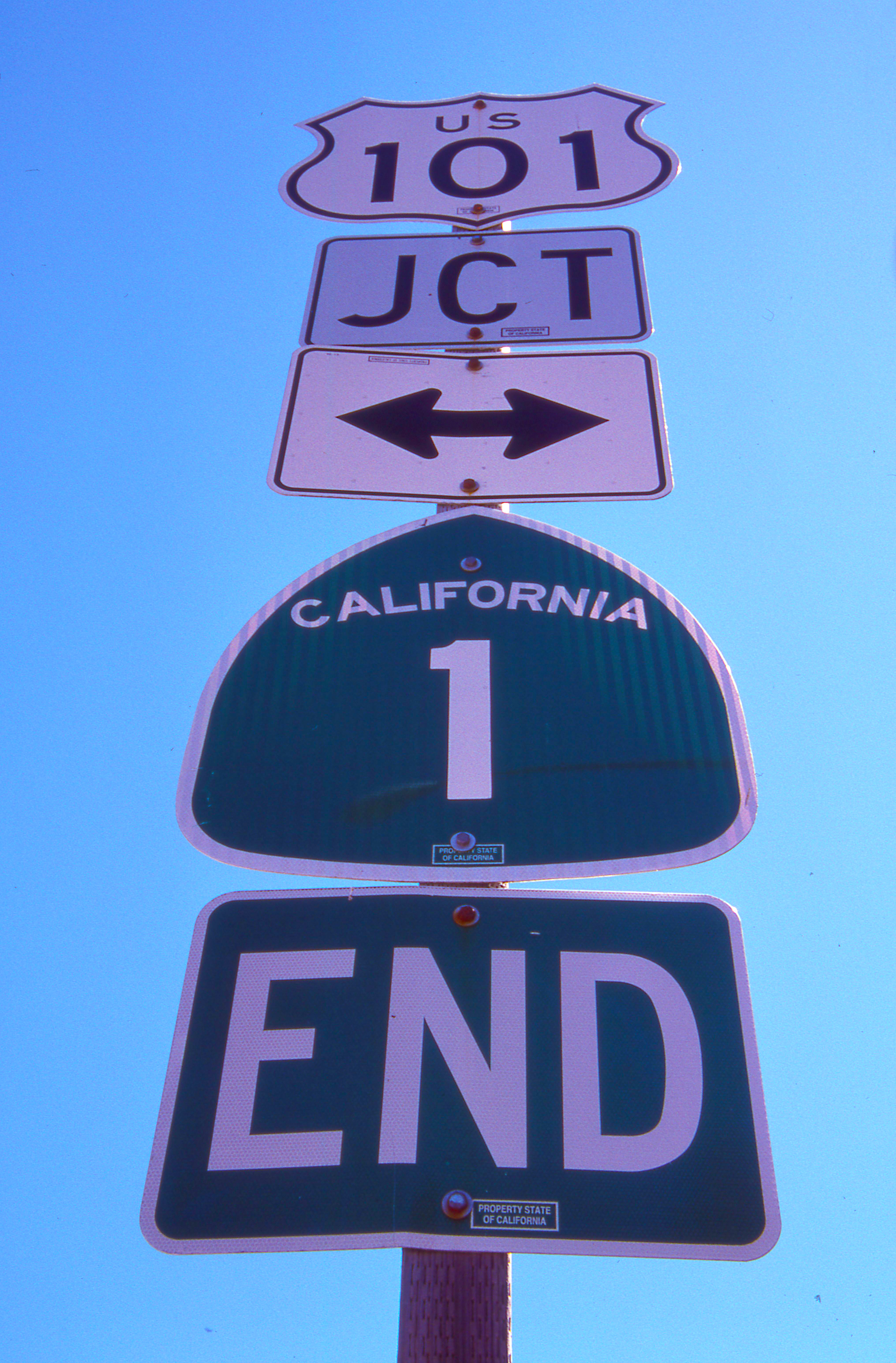
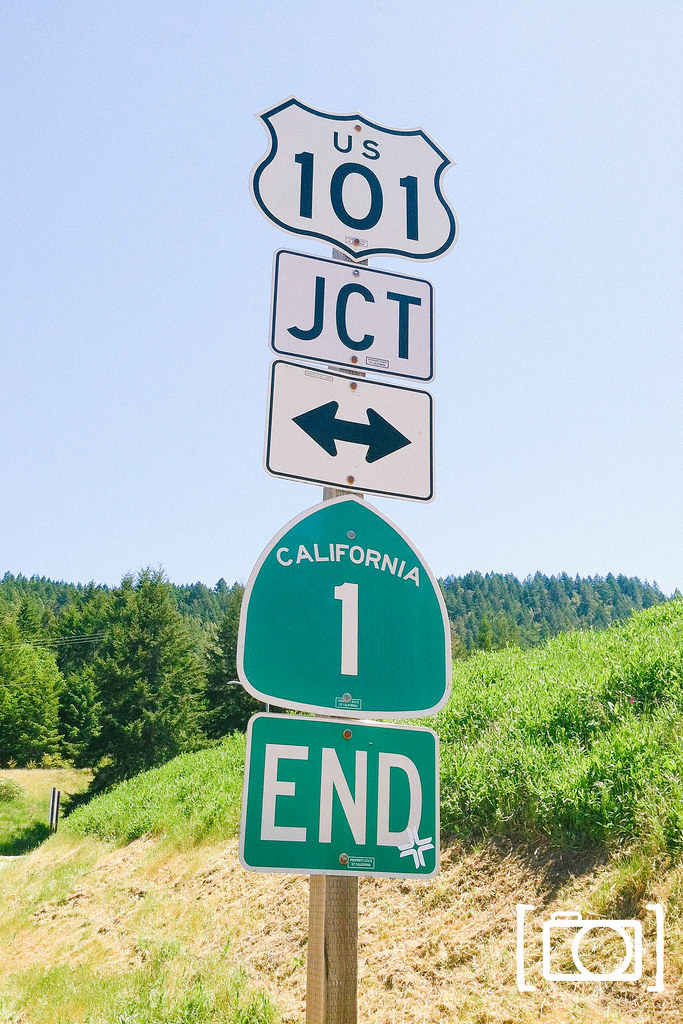
Day 252/365 - Crossroads
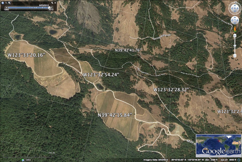
Mendocino Terraced Farm - h
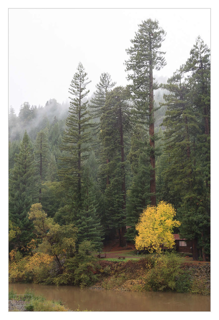
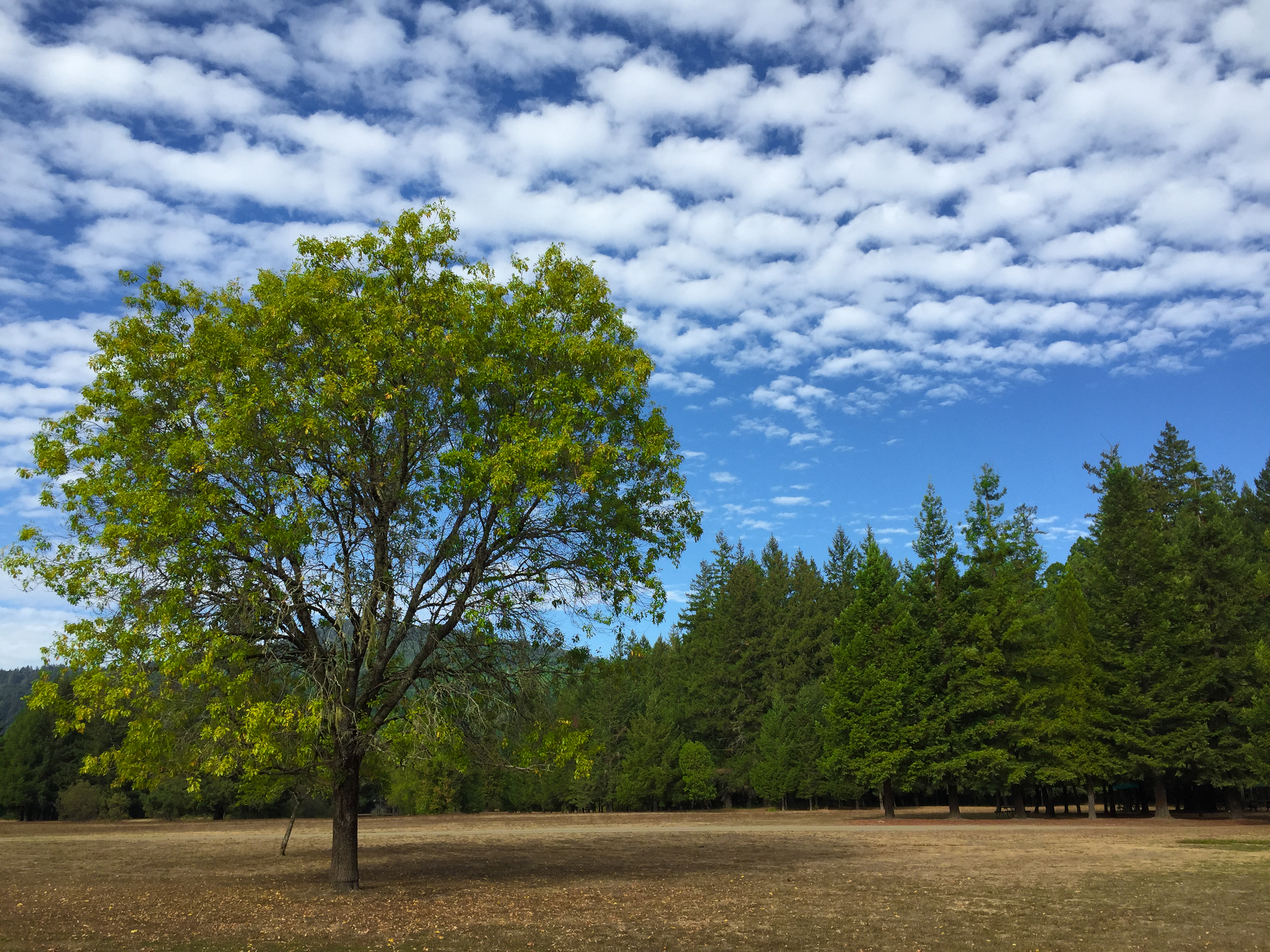
A Little Color
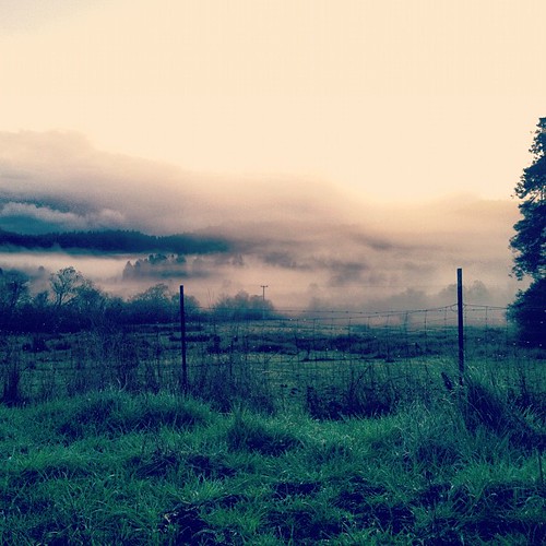
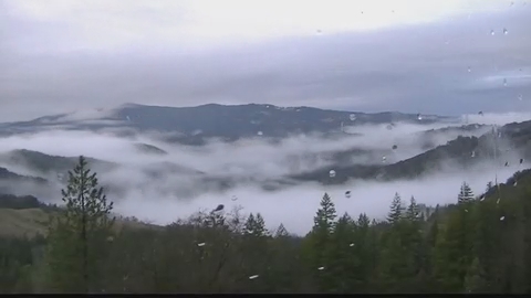
misty morning.
2012.10.05-08 - San Francisco & Hwy 101

Frosted tree trunk at the drive-through tree in Leggett, CA

Redwood Highway
IMG_0036-1

And on your left, the Pacific Ocean
Northern California Redwoods - Triplets

Pond Reflections
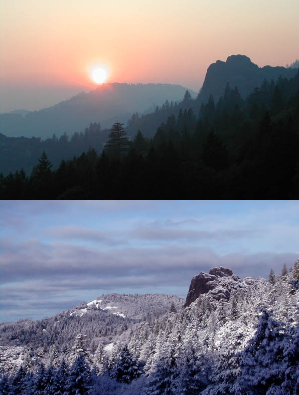
two seasons
Eel River
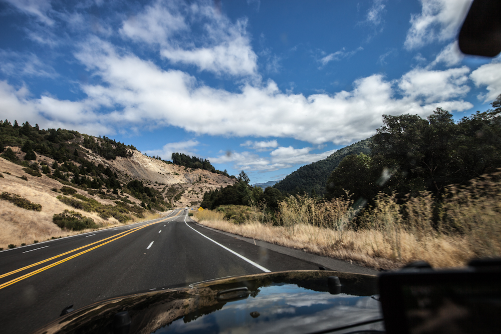
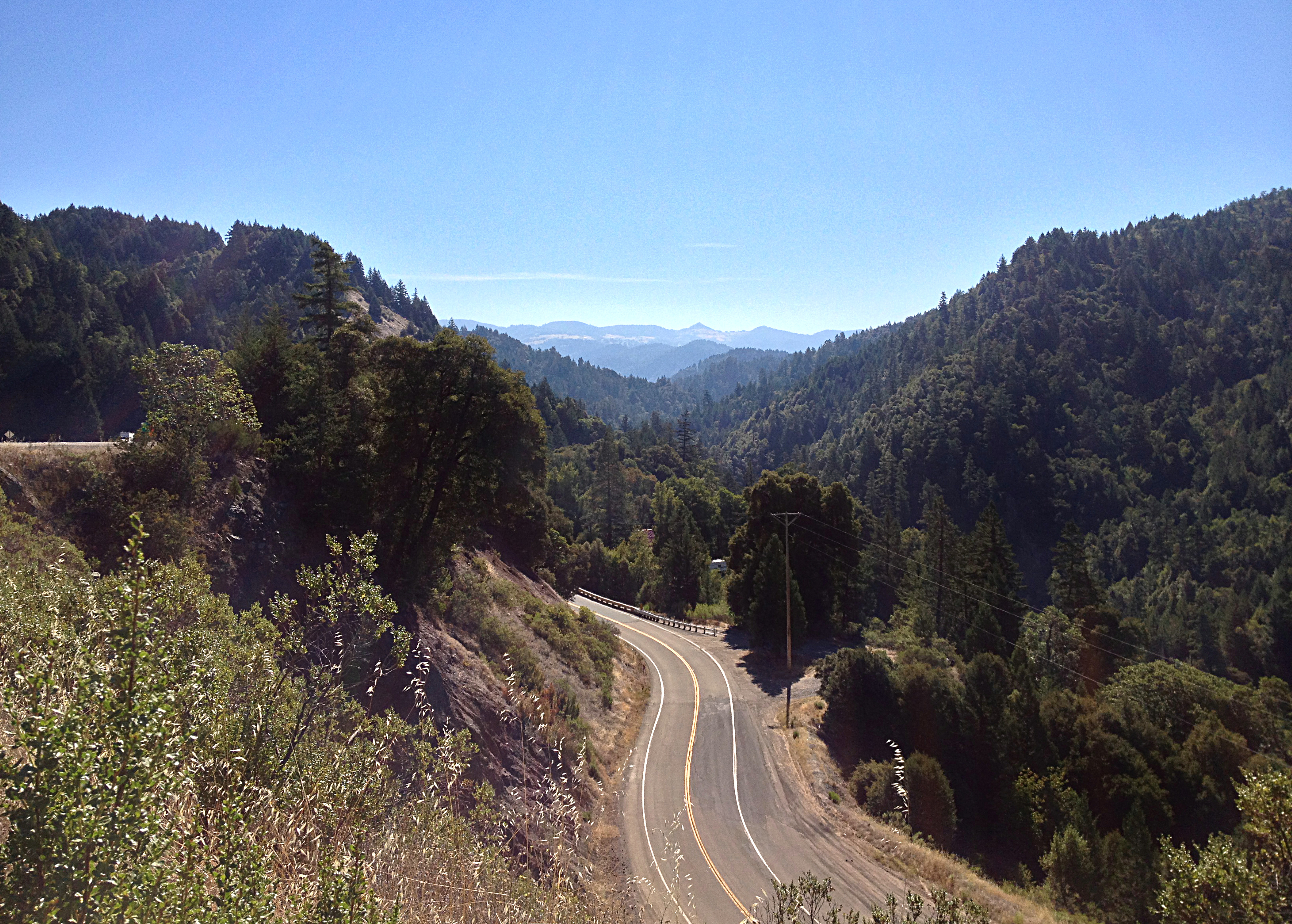
Driving on the 101
Standish-Hickey
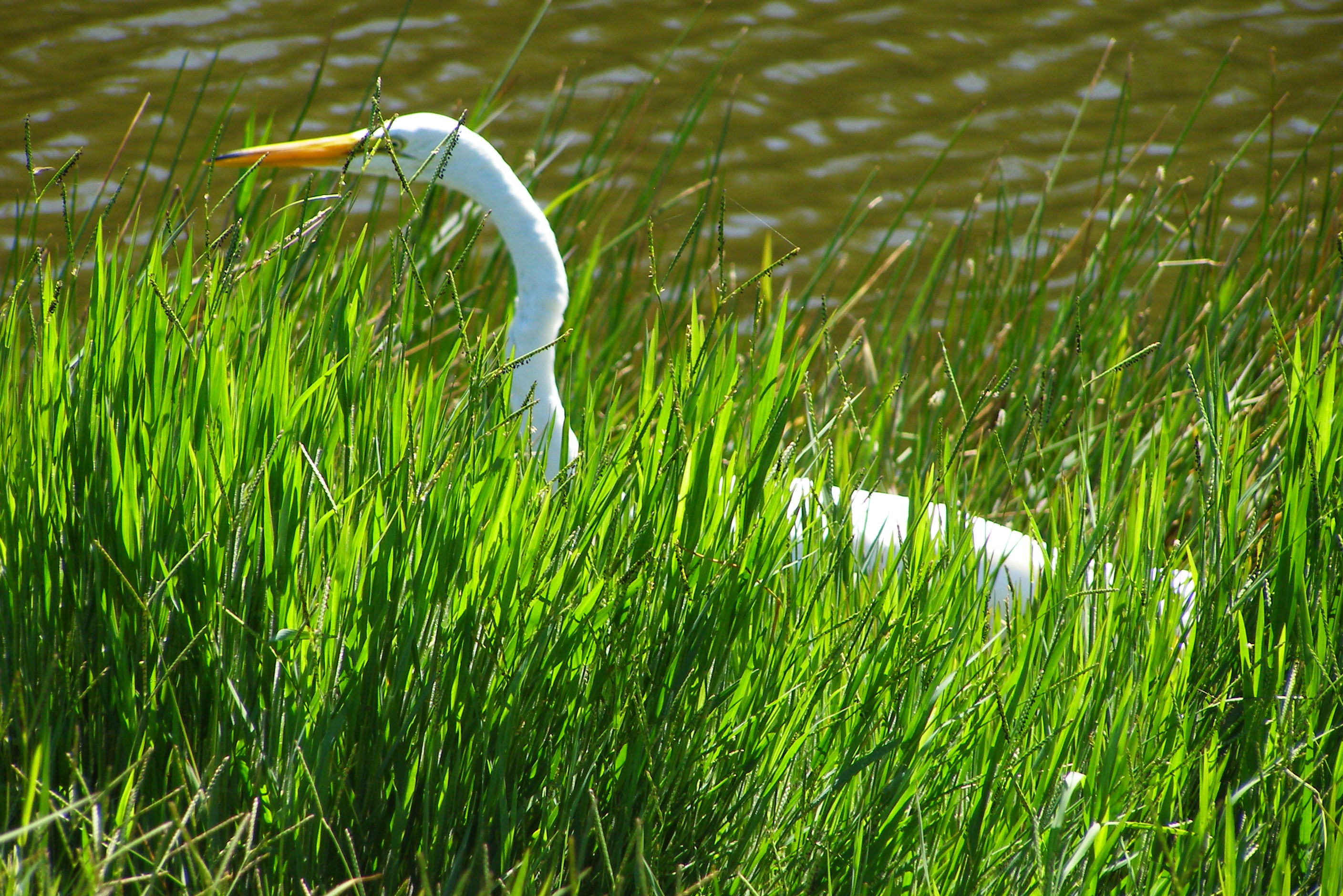
It's not stalking. It's birdwatching.

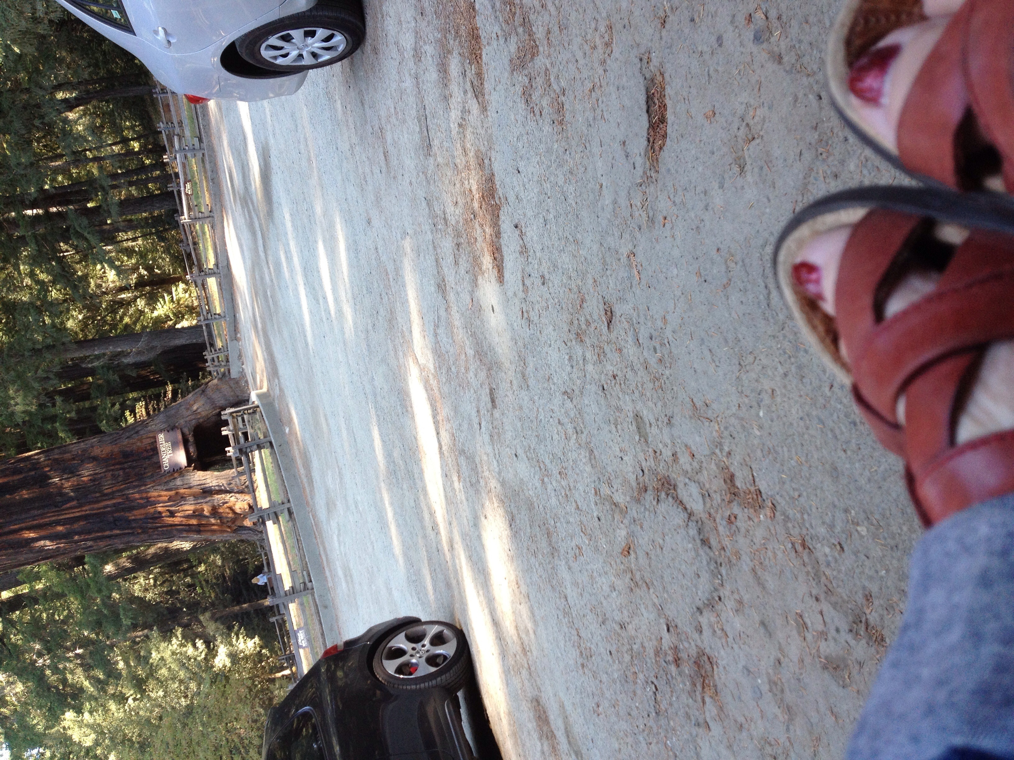
Chandelier Tree
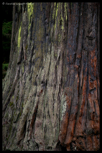
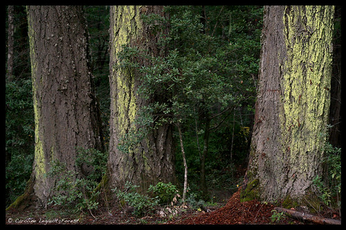
Northern California Redwoods - Bark
Northern California Roadtrip-25.jpg
storm's coming
Great Scenery
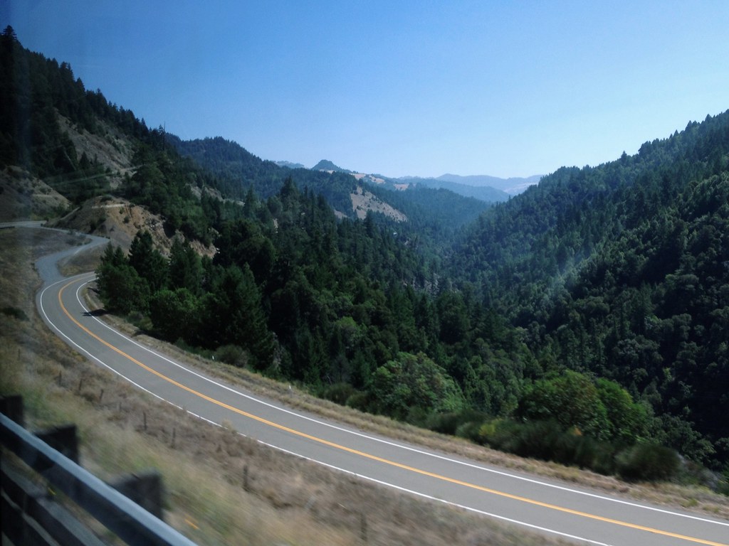
Driving on the 101
Topographic Map of US-, Laytonville, CA, USA
Find elevation by address:

Places near US-, Laytonville, CA, USA:
N Hwy, Laytonville, CA, USA
US-, Leggett, CA, USA
61900 Bell Springs Rd
CA-, Leggett, CA, USA
8601 Woodman Canyon Rd
Simmerly Ranch Rd, Laytonville, CA, USA
Simmerly Rd, Covelo, CA, USA
47221 Fox Rock Rd
4271 Fox Rock Rd
4271 Fox Rock Rd
4271 Fox Rock Rd
4271 Fox Rock Rd
525 Ten Mile Creek Rd
Leggett
Simmerly Rd, Covelo, CA, USA
Laytonville
US-, Laytonville, CA, USA
43608 Wilderness Lodge Rd
Arnett Dr, Leggett, CA, USA
320 Mulligan Ln
Recent Searches:
- Elevation of Corso Fratelli Cairoli, 35, Macerata MC, Italy
- Elevation of Tallevast Rd, Sarasota, FL, USA
- Elevation of 4th St E, Sonoma, CA, USA
- Elevation of Black Hollow Rd, Pennsdale, PA, USA
- Elevation of Oakland Ave, Williamsport, PA, USA
- Elevation of Pedrógão Grande, Portugal
- Elevation of Klee Dr, Martinsburg, WV, USA
- Elevation of Via Roma, Pieranica CR, Italy
- Elevation of Tavkvetili Mountain, Georgia
- Elevation of Hartfords Bluff Cir, Mt Pleasant, SC, USA