Elevation map of Tuolumne County, CA, USA
Location: United States > California >
Longitude: -119.97405
Latitude: 38.029655
Elevation: 1779m / 5837feet
Barometric Pressure: 82KPa
Elevation Map:
Satellite Map:
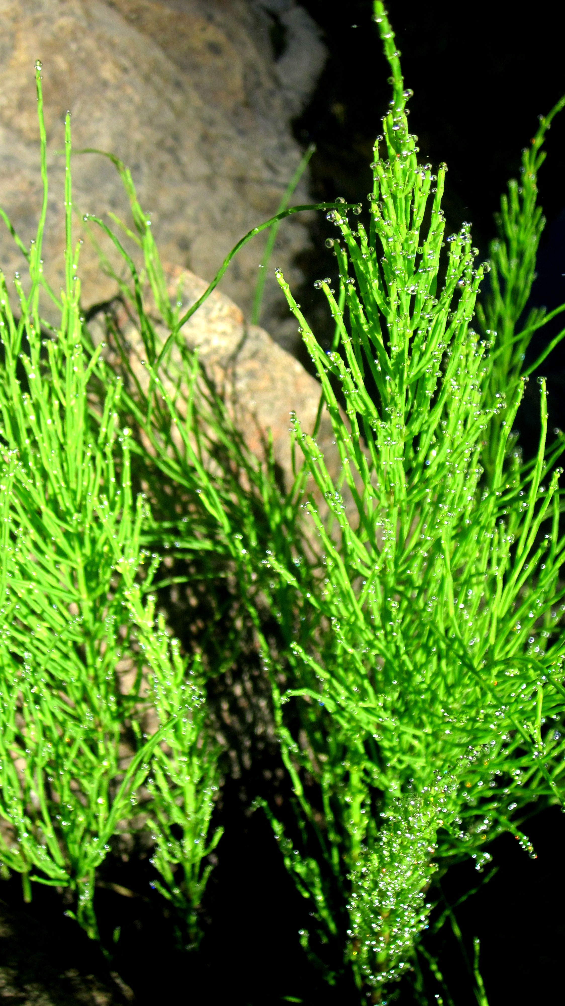
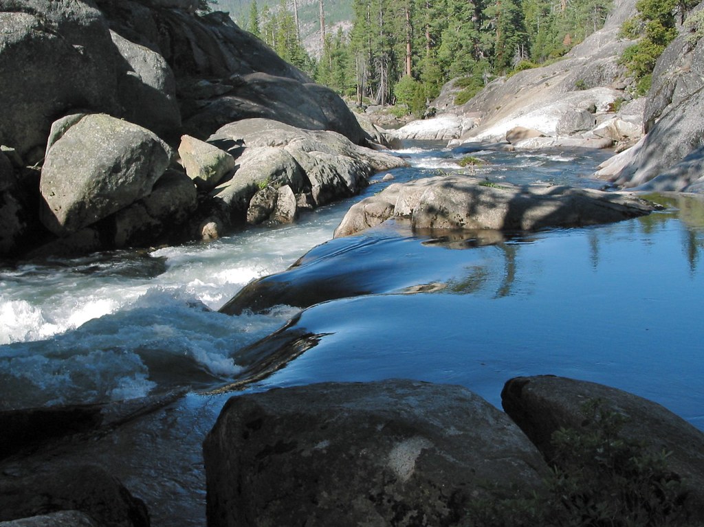
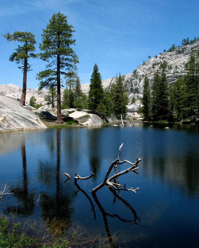
Related Photos:
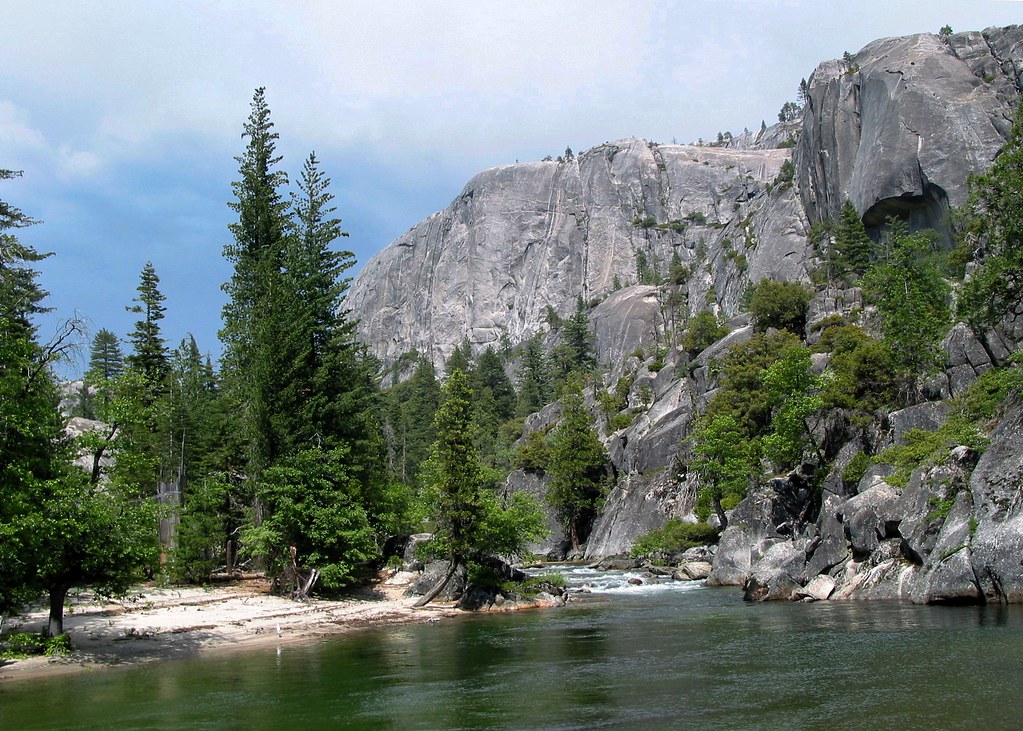
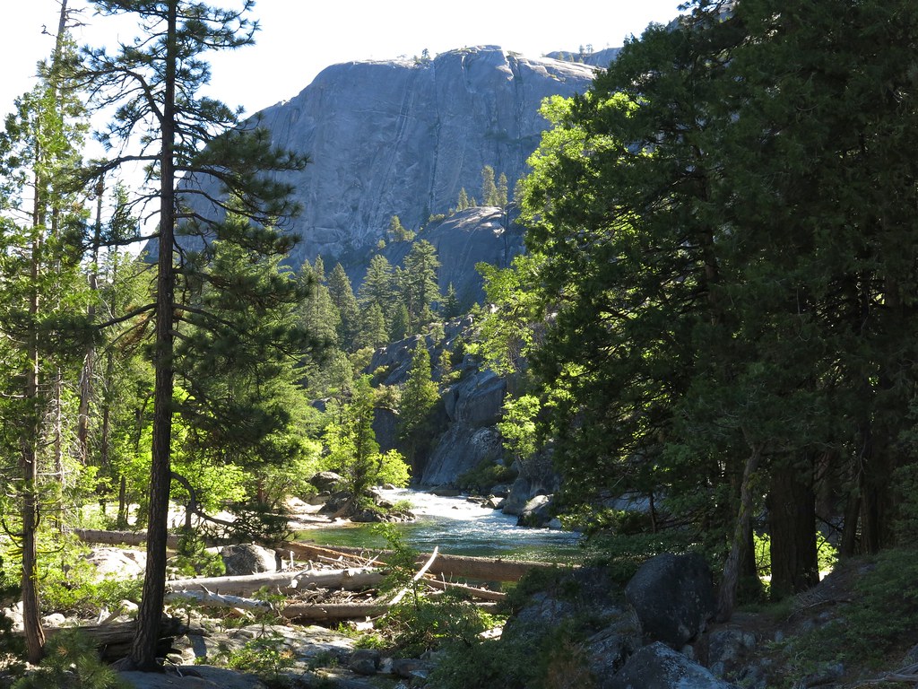
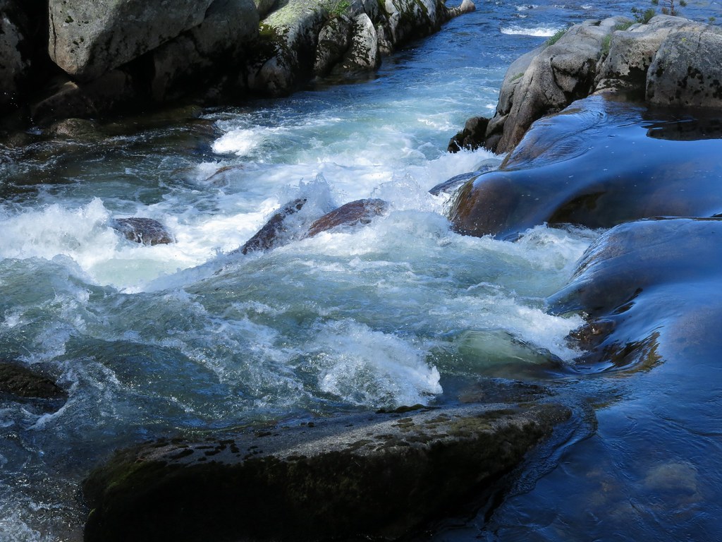
View upstream from beach near the crack

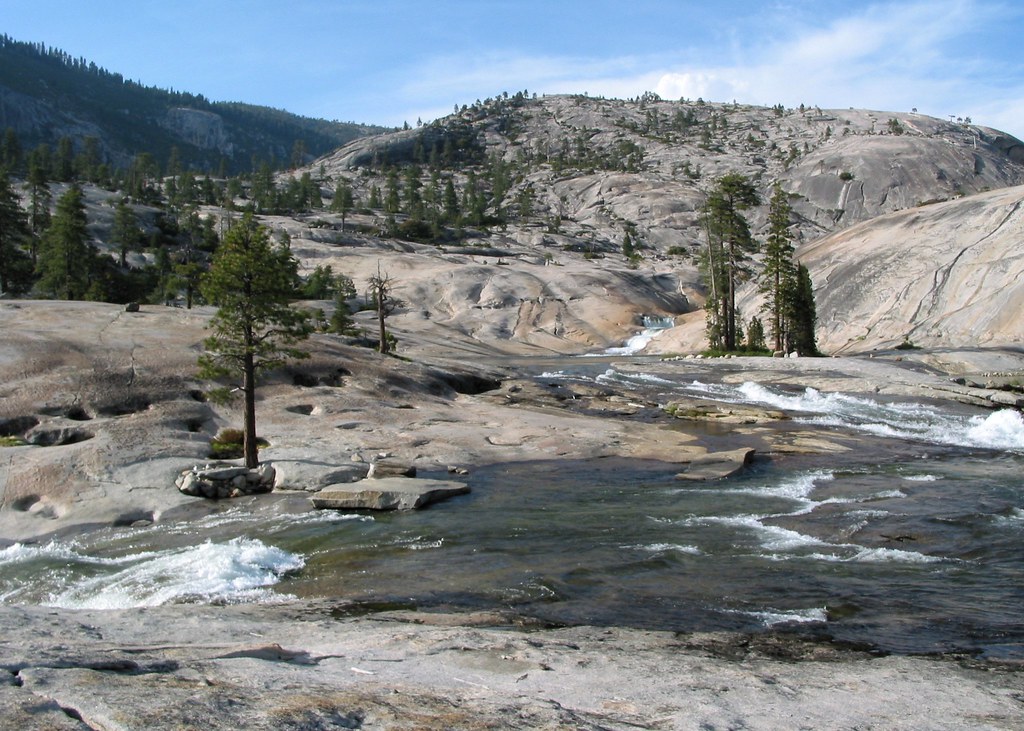
Looking upstream
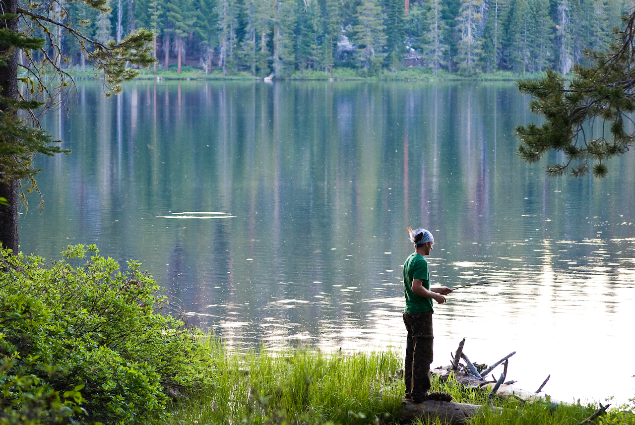
Backcountry Fishing

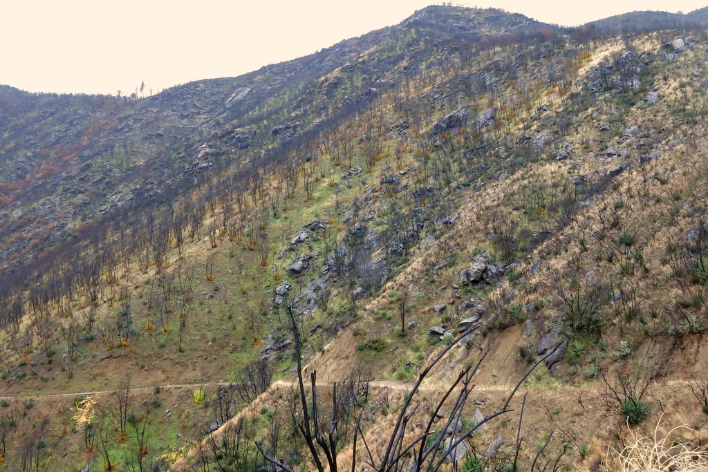
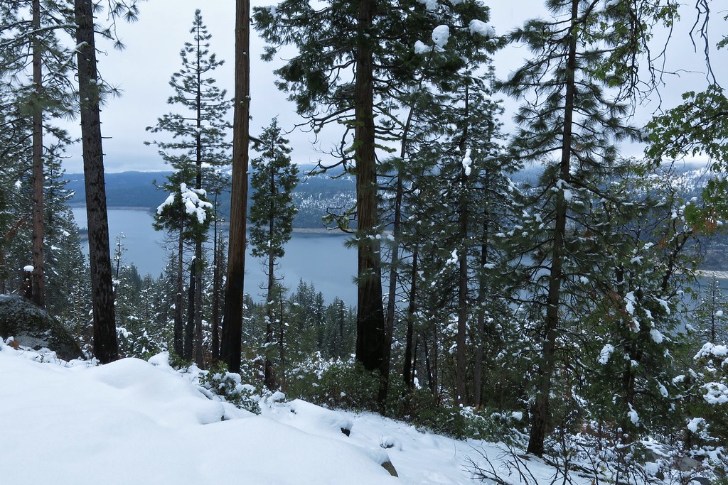
Tuolumne River from overlook on Lumsden Road
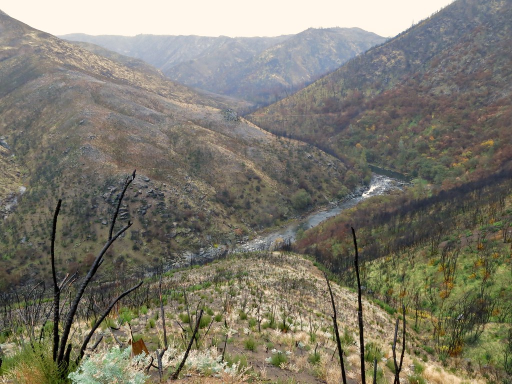
Tuolumne River from bracket at overlook on Lumsden Road

View from dome towards Flintstone camp (middle left).
Kibbie Ridge 2014-11-29 at 02-53-53
View upstream from our camp

Cherry Creek 2012-05-31 at 12-25-50
upstream from Flintstone.
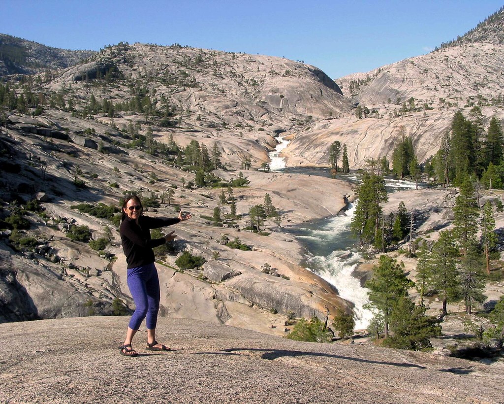
Diane presenting flintstone view
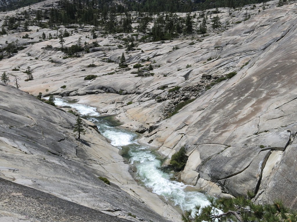
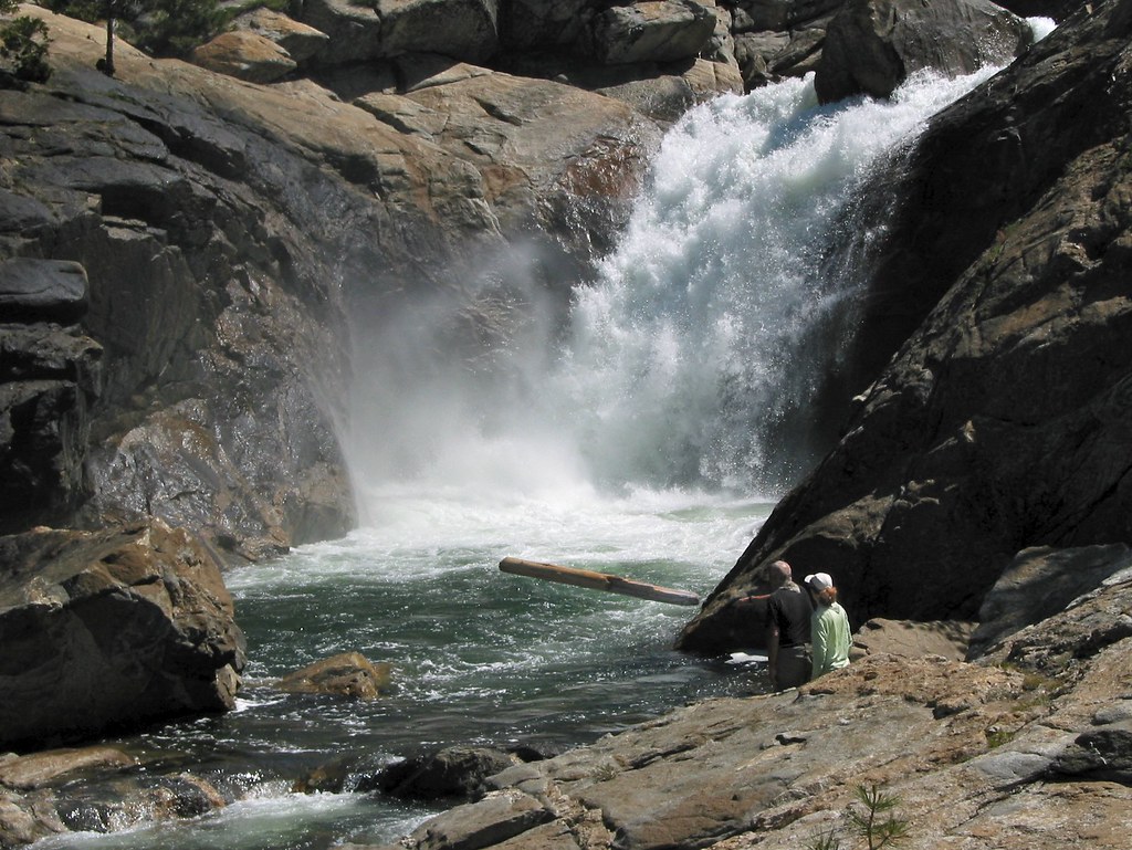
View of the lower gorge

Waterfall Alley seen from base of the wall
View Down the Valley
Cherry Creek 2012-06-03 at 12-32-07

Cherry Bomb Gorge, closer view

Cherry Creek 2012-06-03 at 11-07-09
penstemon above crack

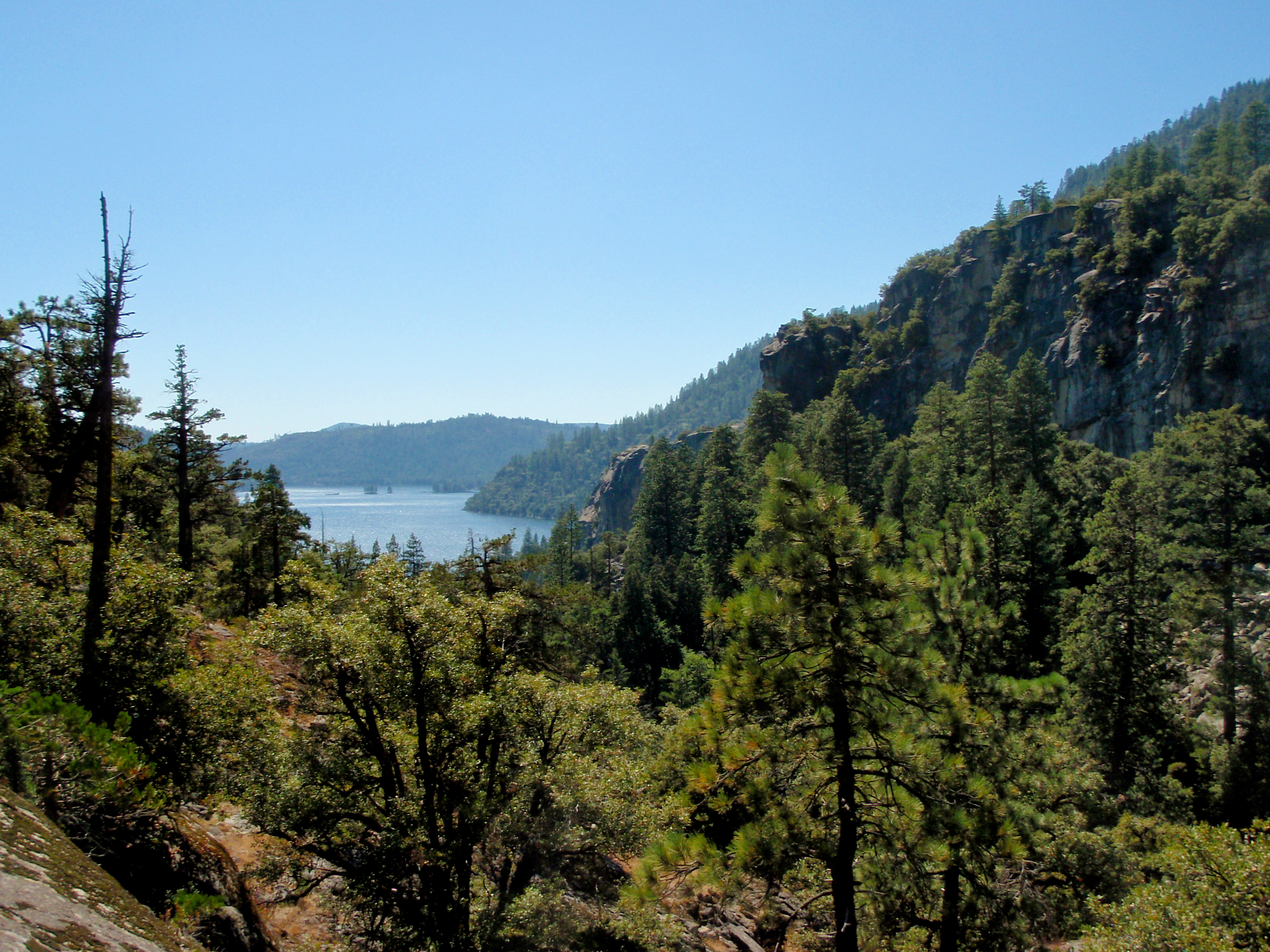
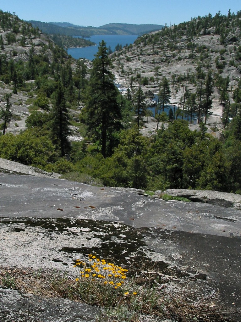
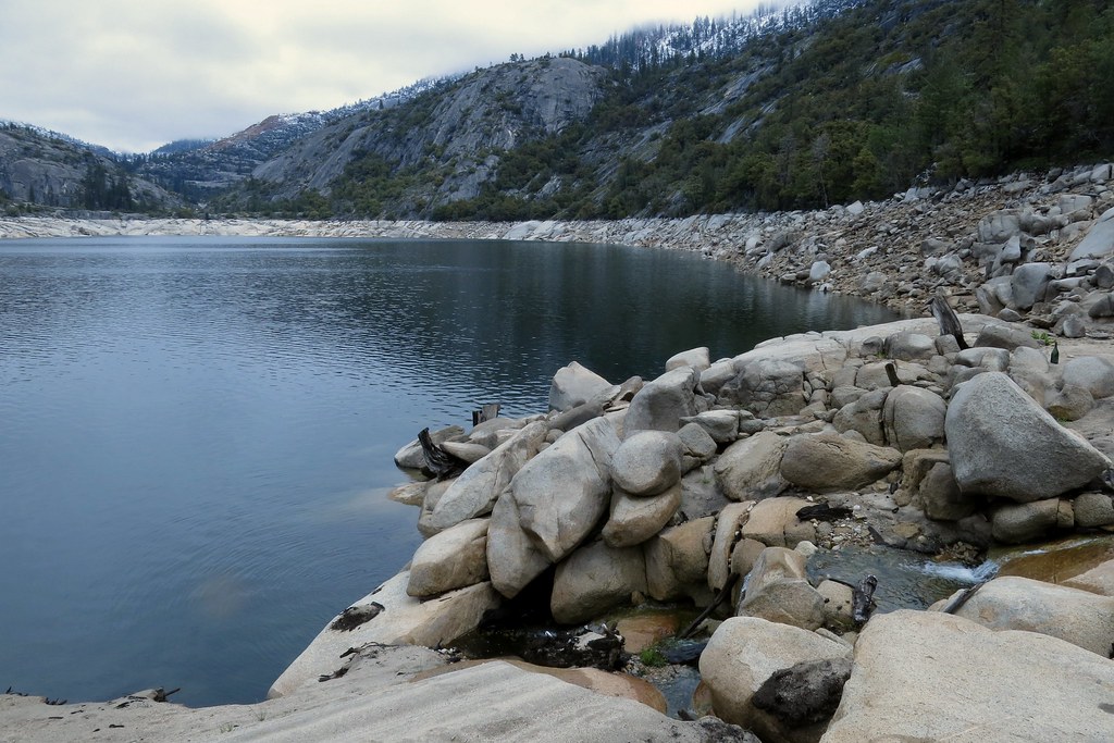
View south towards Cherry Lake
View towards the inlet from the shore
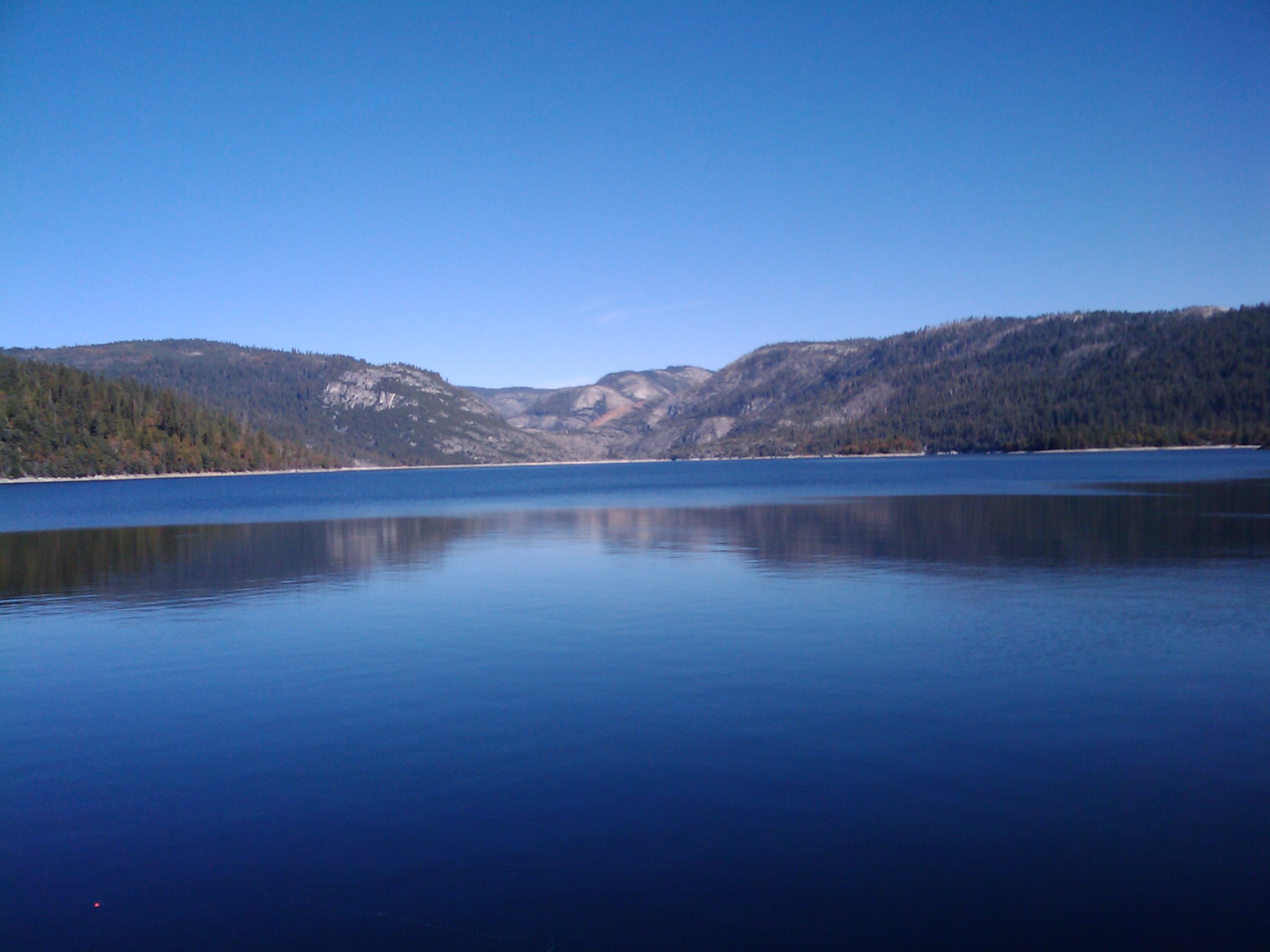
Cherry Lake
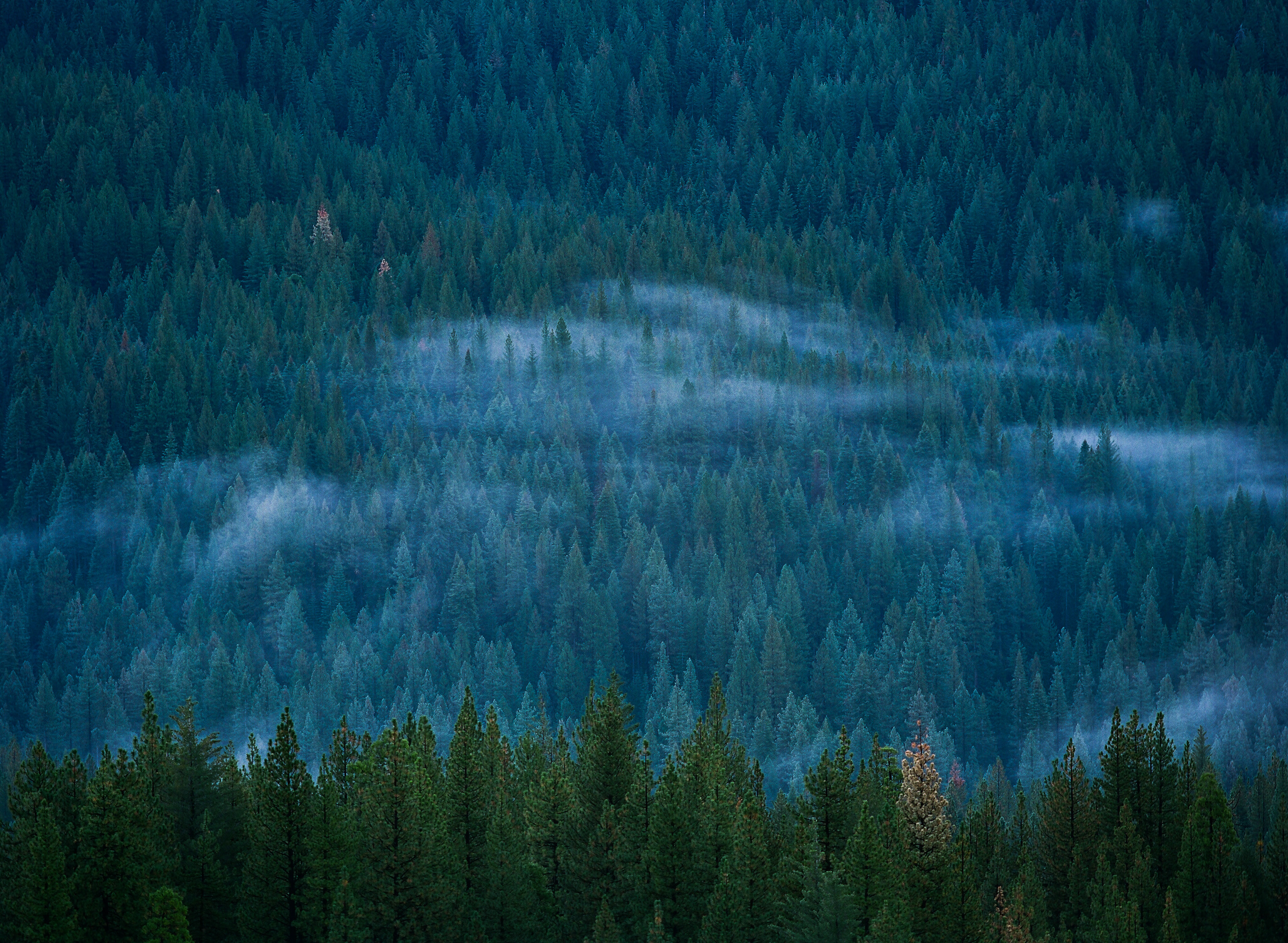
Forest for the Trees

The Chill at Dawn
2009-10-24 11.10.58

Peaceful Morning.

Cherry Creek Canyon
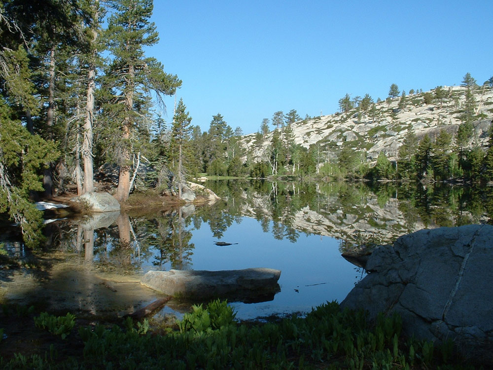
Chain Lakes
.
Cherry Creek 2012-06-03 at 09-31-21

_8110058.NEF

IMG_5971.jpg
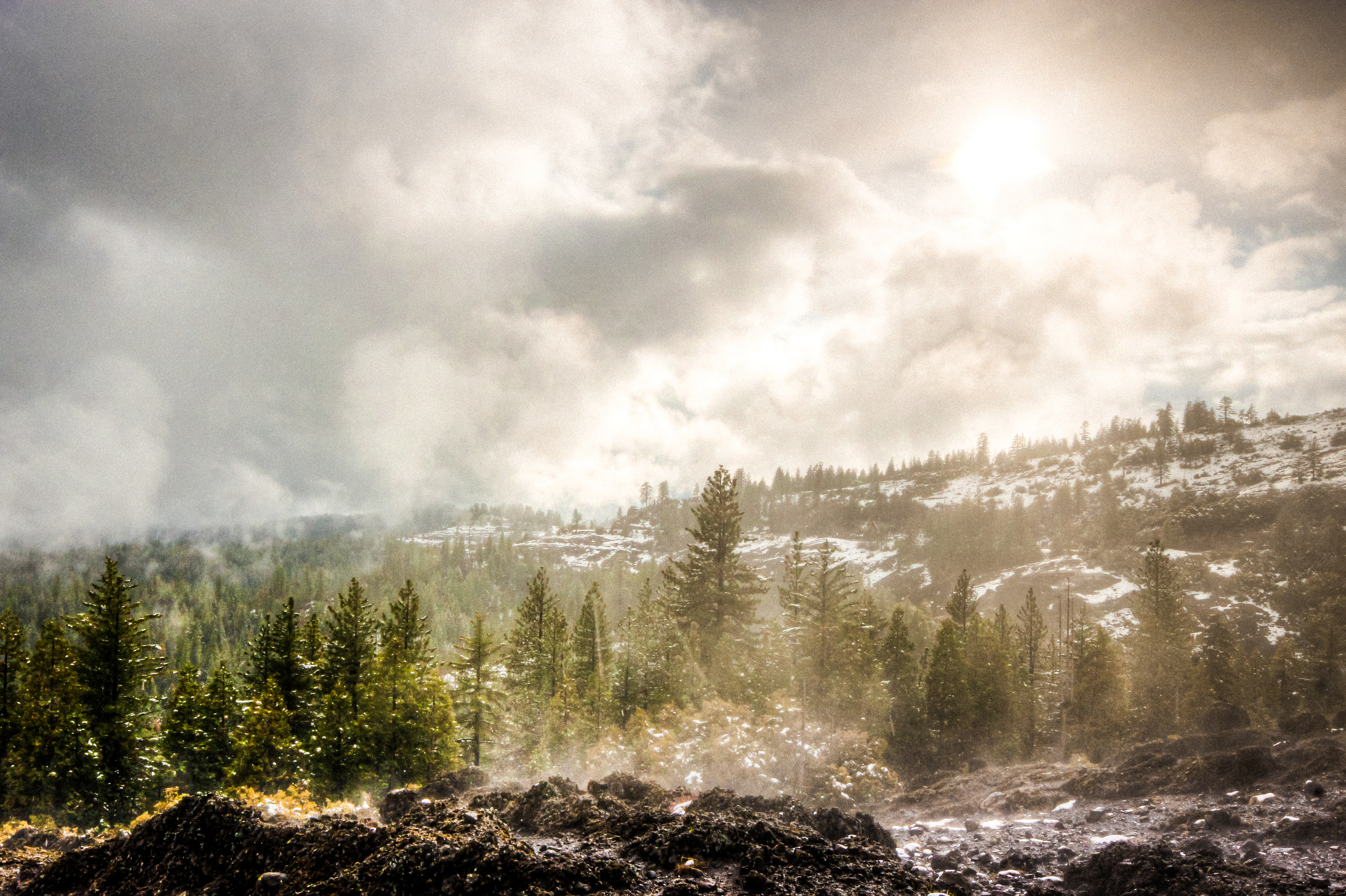
little break in the weather.
Pond in the flat area above the swimming hole

_8120091.NEF
glassy water place
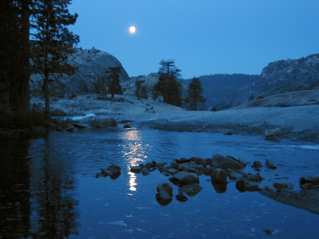
Moonrise, Flintstone

Cherry Creek 2012-06-02 at 12-01-10

Cherry Creek 2012-06-01 at 11-21-00
Cherry Creek 2012-06-01 at 11-01-37
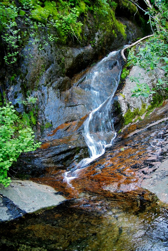
Stream with a twist
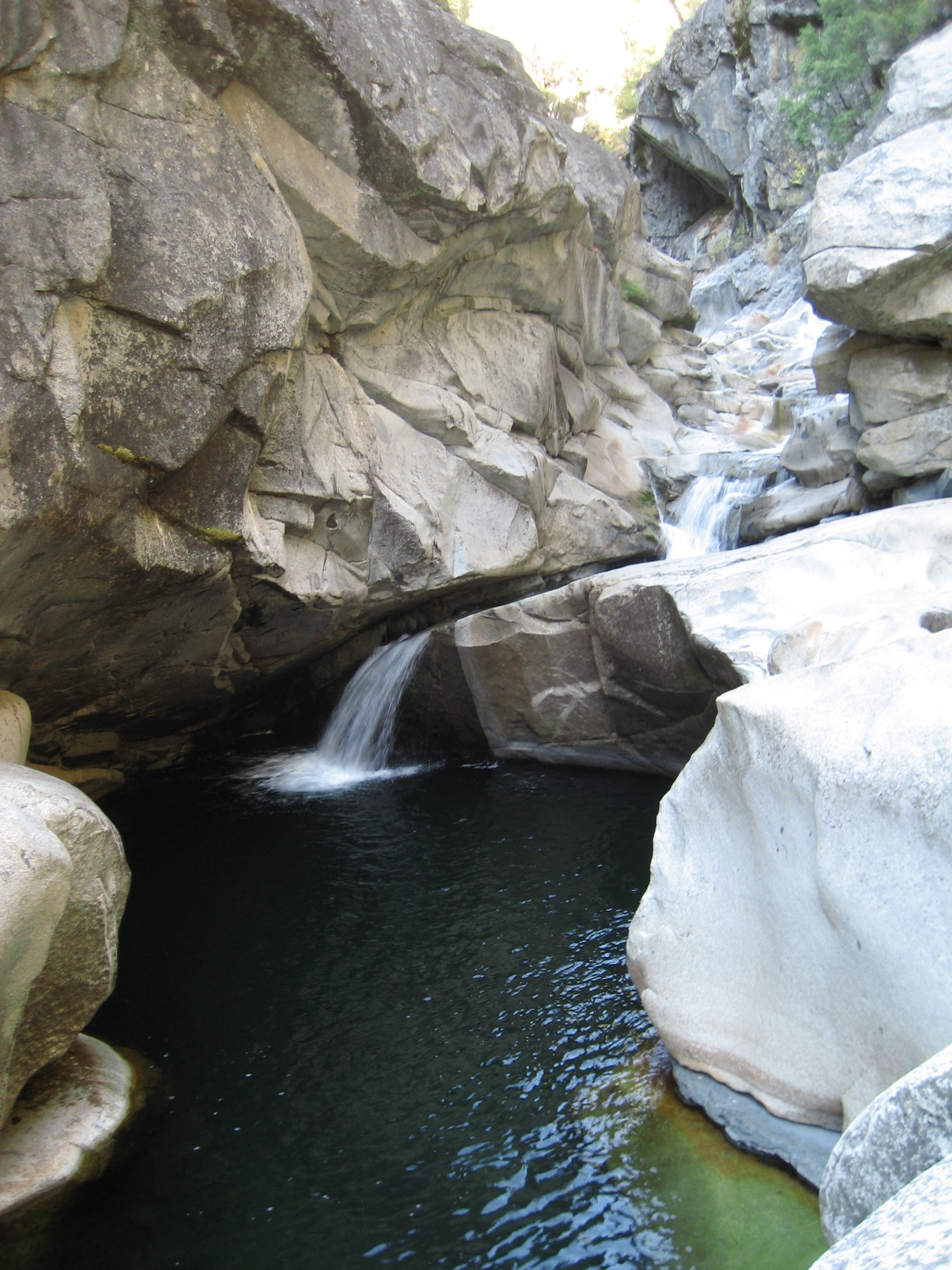
God's Bath, Clavey River (Sonora, CA)

Cherry Creek 2012-06-02 at 10-55-27
Topographic Map of Tuolumne County, CA, USA
Find elevation by address:

Places in Tuolumne County, CA, USA:
Sonora
Jamestown
Groveland
Twain Harte
Mi-wuk Village
Tuolumne
Soulsbyville
Columbia
Cold Springs
Chinese Camp
Moccasin
Strawberry
Long Barn
Forsyth Peak
Tower Peak
Price Peak
Whorl Mountain
Cold Mountain
Smith Peak
Bald Peak
Snow Peak
Macomb Ridge
Suicide Ridge
Finger Peaks
Quarry Peak
Tiltill Mountain
Mount Gibson
Rancheria Mountain
West Peak
Pettit Peak
Lembert Dome
Tuolumne Peak
Falls Ridge East
Middle Camp Sugarpine Rd, Twain Harte, CA, USA
Main St, Columbia, CA, USA
Cottonwood Road
Italian Bar Rd, Columbia, CA, USA
Tuttletown
Dardanelle
Confidence
Mono Vista
Hetch Hetchy Reservoir
Haypress Meadow
Cherry Lake
Deadwood
Stanislaus National Forest
Places near Tuolumne County, CA, USA:
Cherry Lake
Gods Bath
Cottonwood Road
Deadwood
Circle Drive
Long Barn Rd, Mi-Wuk Village, CA, USA
Long Barn
David Dr, Mi-Wuk Village, CA, USA
25755 Wheeler Rd
25122 Deborah Dr
25210 Deborah Dr
25305 Rebekah Rd
21937 Sunrise Dr
Basin Creek
Quartz Ave, Mi-Wuk Village, CA, USA
24156 Susu Ct
20735 Haiapo Rd
Mi-wuk Village
20636 Hekeke Ln
24671 Ca-108
Recent Searches:
- Elevation of Corso Fratelli Cairoli, 35, Macerata MC, Italy
- Elevation of Tallevast Rd, Sarasota, FL, USA
- Elevation of 4th St E, Sonoma, CA, USA
- Elevation of Black Hollow Rd, Pennsdale, PA, USA
- Elevation of Oakland Ave, Williamsport, PA, USA
- Elevation of Pedrógão Grande, Portugal
- Elevation of Klee Dr, Martinsburg, WV, USA
- Elevation of Via Roma, Pieranica CR, Italy
- Elevation of Tavkvetili Mountain, Georgia
- Elevation of Hartfords Bluff Cir, Mt Pleasant, SC, USA