Elevation of Cottonwood Road, Cottonwood Rd, California, USA
Location: United States > California > Tuolumne County >
Longitude: -120.04814
Latitude: 37.9795696
Elevation: 1136m / 3727feet
Barometric Pressure: 88KPa
Elevation Map:
Satellite Map:
Related Photos:
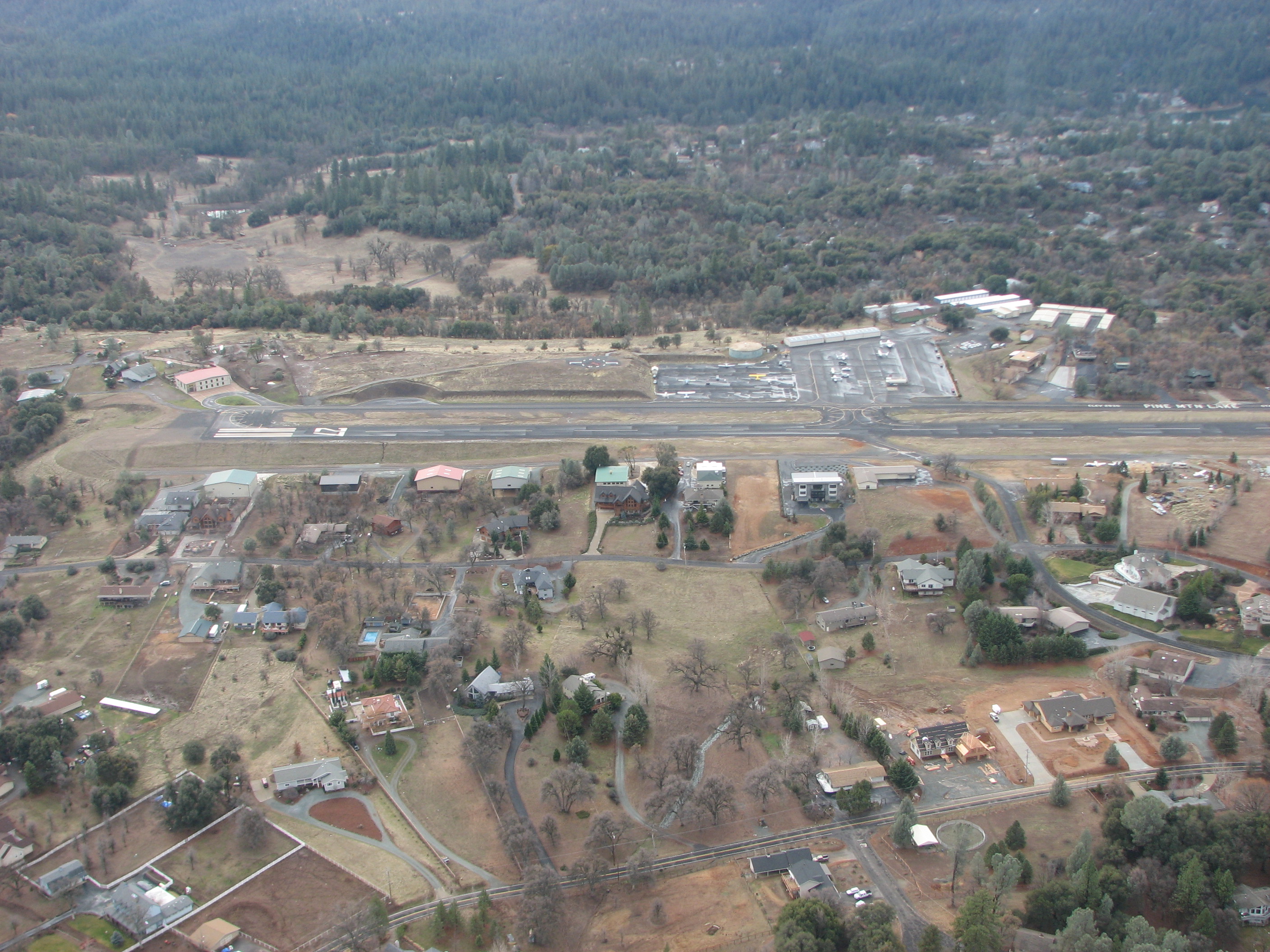
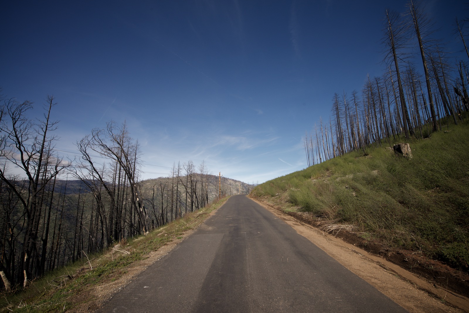
View of the west side of E45

Moe, passed out as usual.
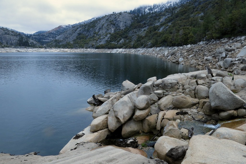
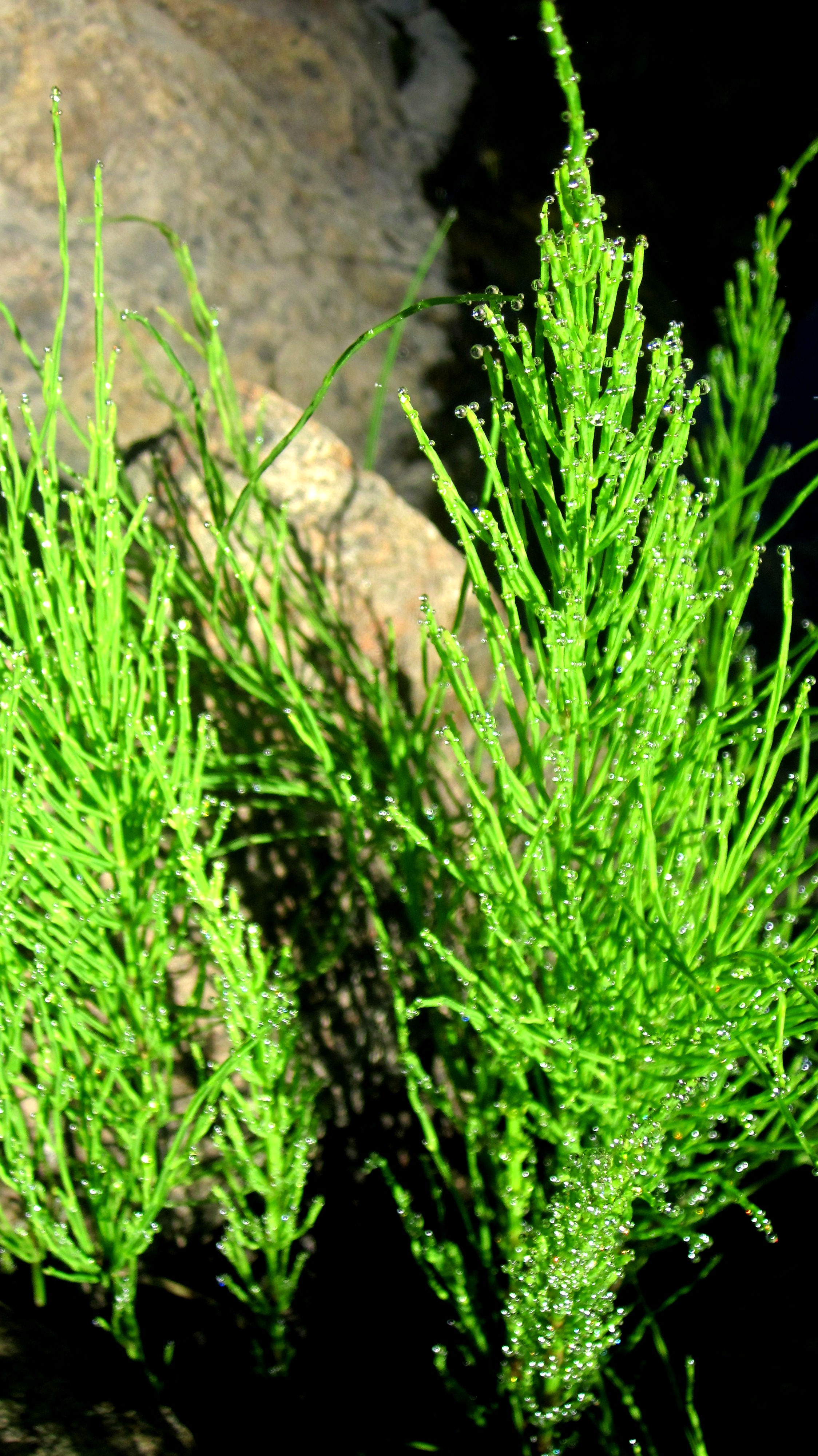
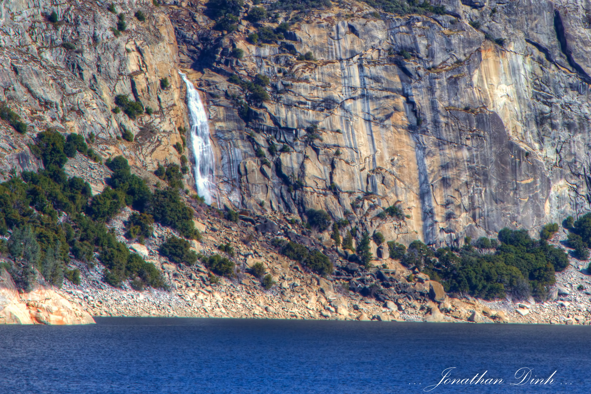
View towards the inlet from the shore
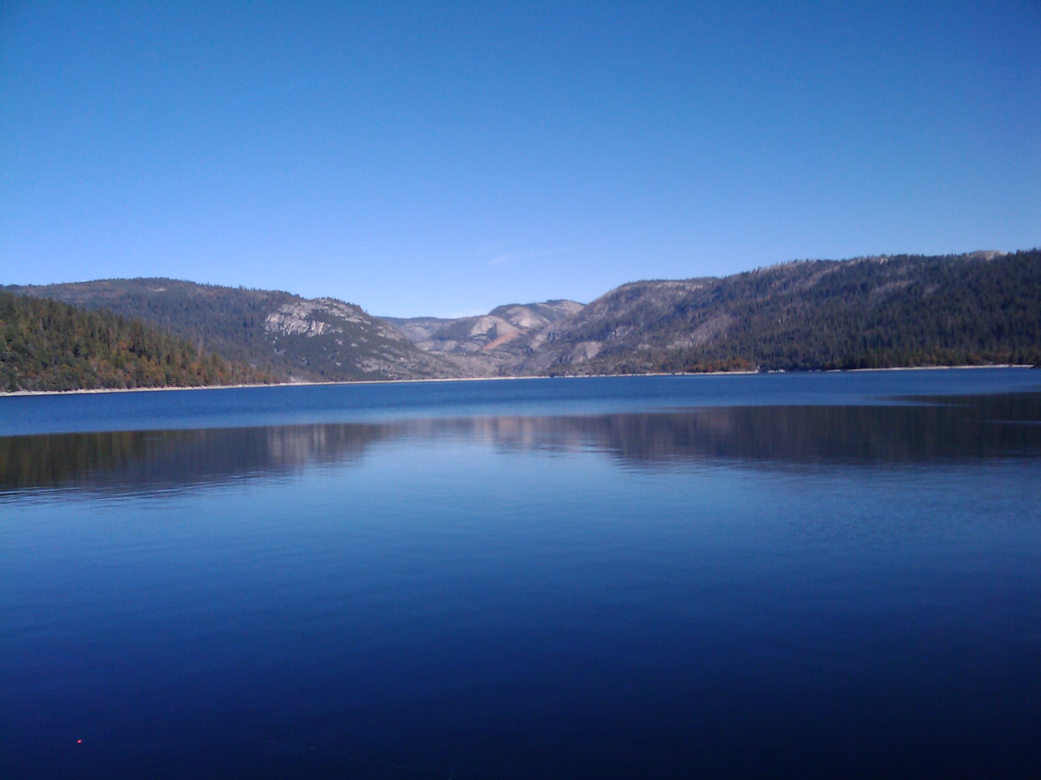
Cherry Lake
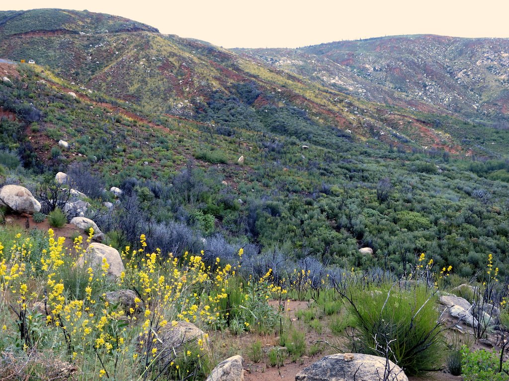
Dicentra chrysantha, GOLDEN EARDROPS

Cherry Creek inlet
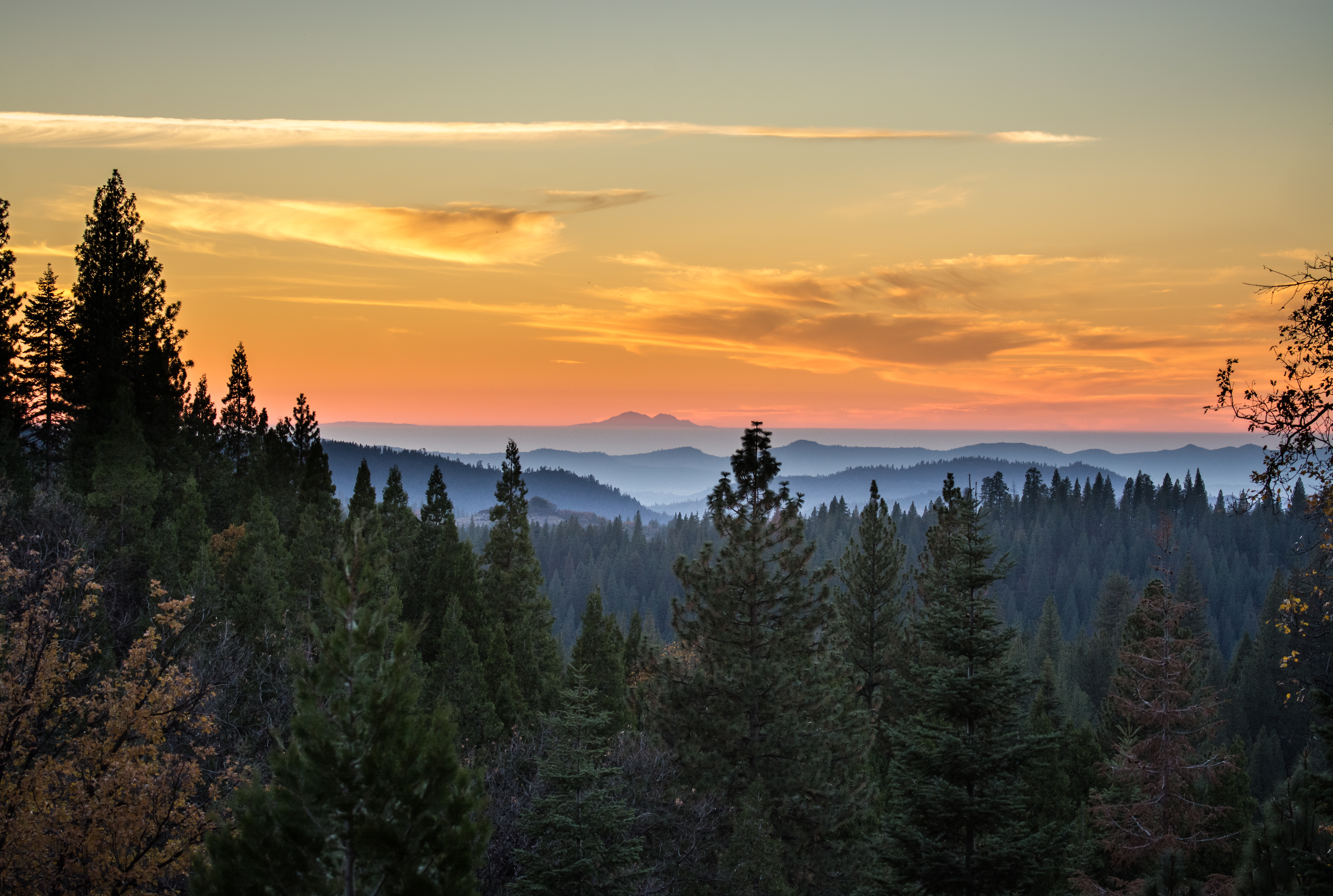
Sierra Sunset

The Chill at Dawn
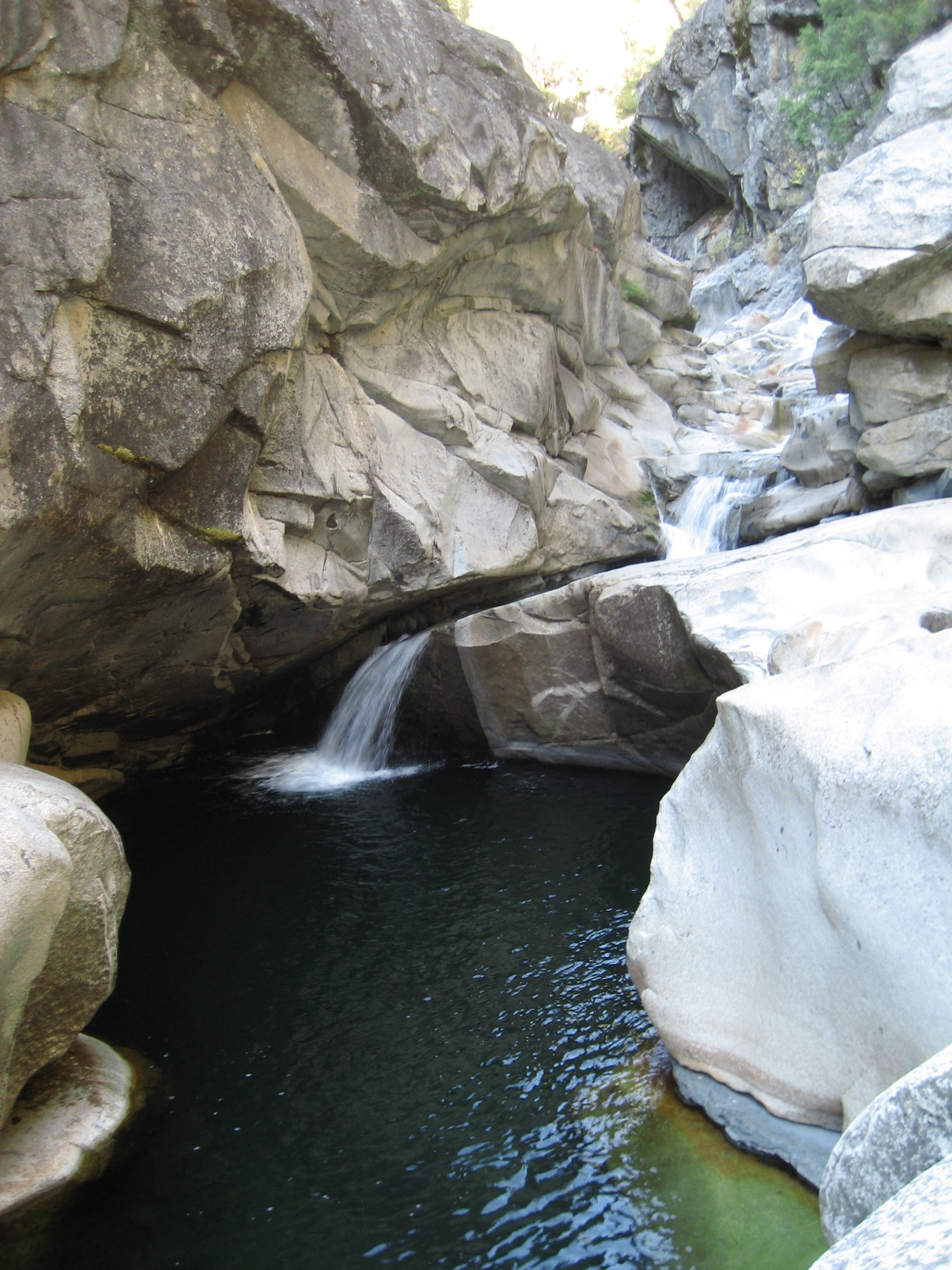
God's Bath, Clavey River (Sonora, CA)
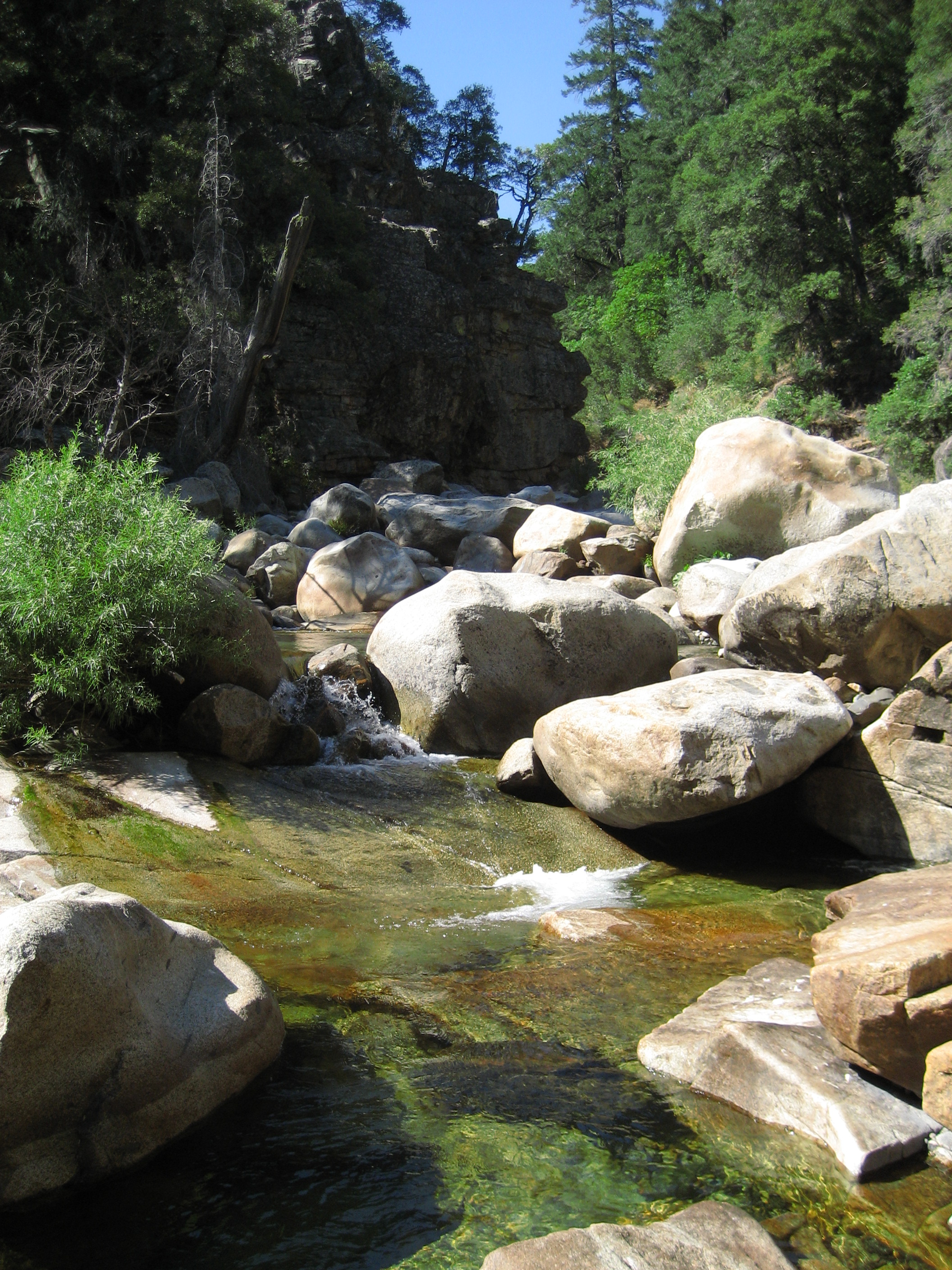
Clavey River, Sonora CA
2009-10-24 11.10.58
.

_8110061.NEF

IMG_5971.jpg

_8110058.NEF

_8110060.NEF
2016-0029-0296
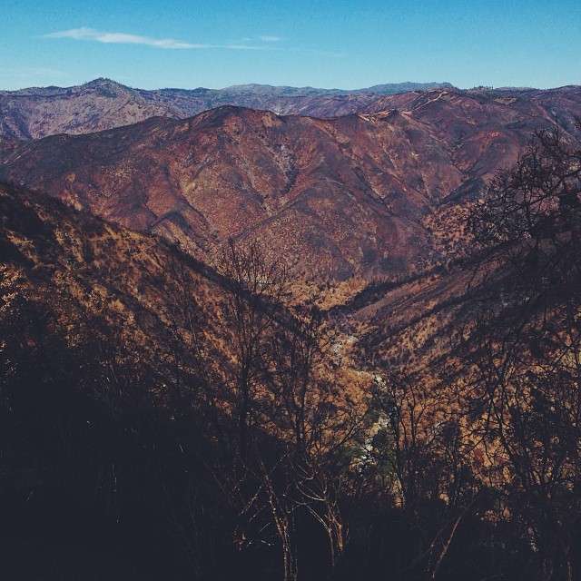
Rim of the World vista

2009-10-24 11.11.15

Kibbie Ridge 2014-11-28 at 23-09-13

Kibbie Ridge 2014-11-28 at 23-38-43

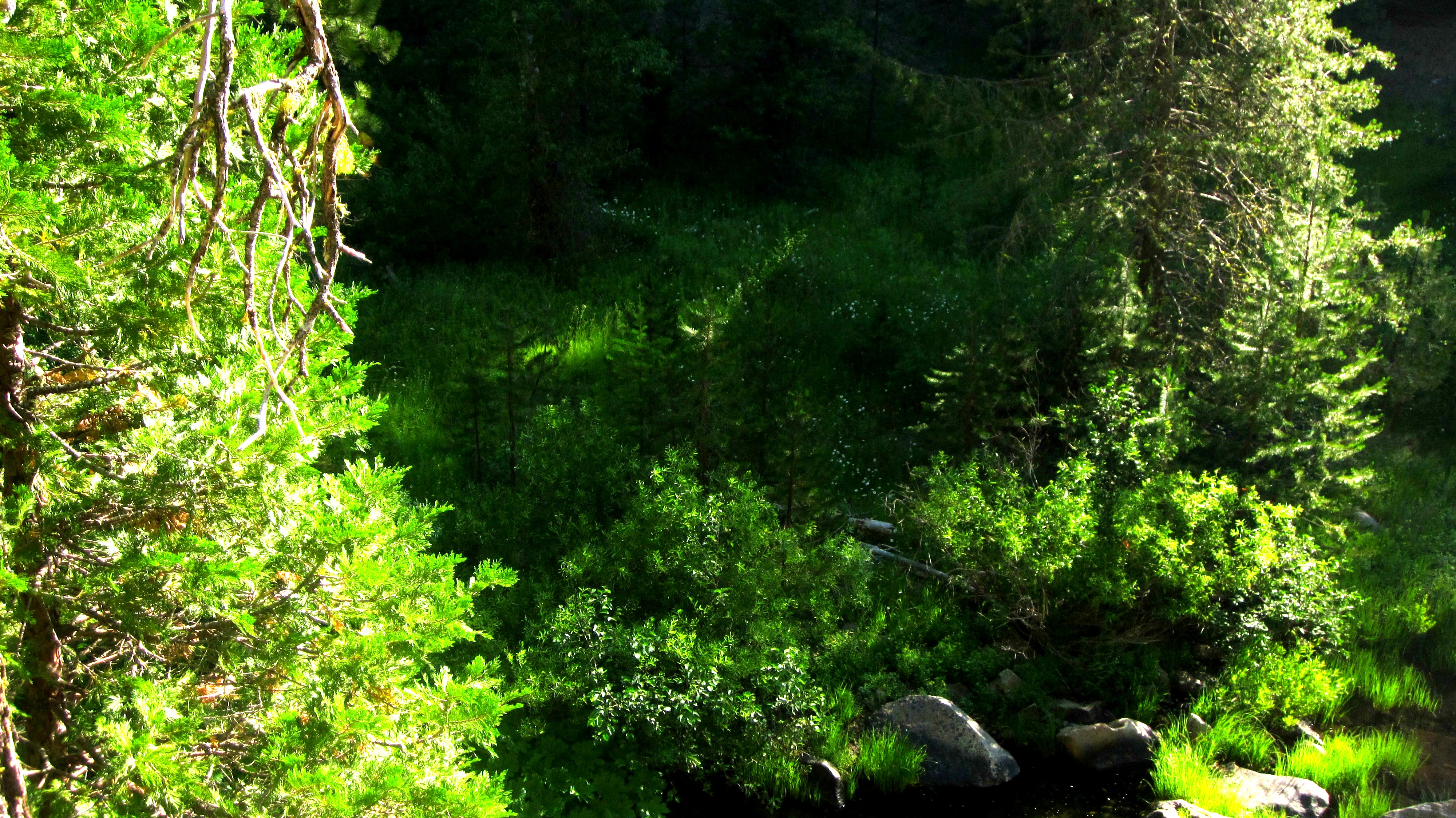
Beautiful lake

Class V Clavey Falls
.

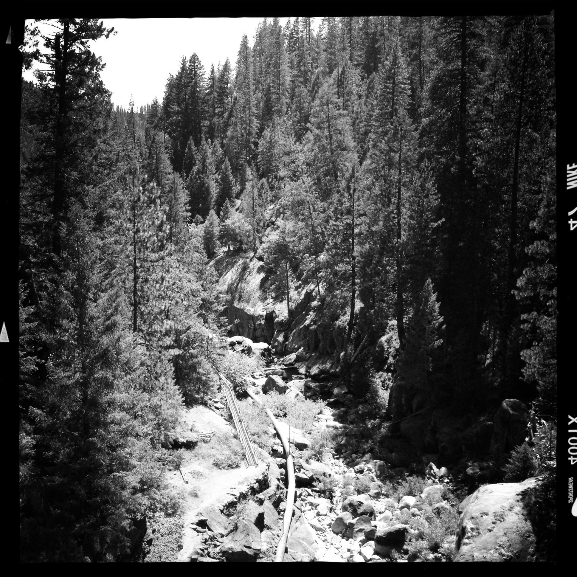
Tuolumne river camp
IMG_5968.jpg
All the way down
Topographic Map of Cottonwood Road, Cottonwood Rd, California, USA
Find elevation by address:

Places near Cottonwood Road, Cottonwood Rd, California, USA:
Deadwood
Tuolumne County
Basin Creek
Gods Bath
Circle Drive
Long Barn Rd, Mi-Wuk Village, CA, USA
David Dr, Mi-Wuk Village, CA, USA
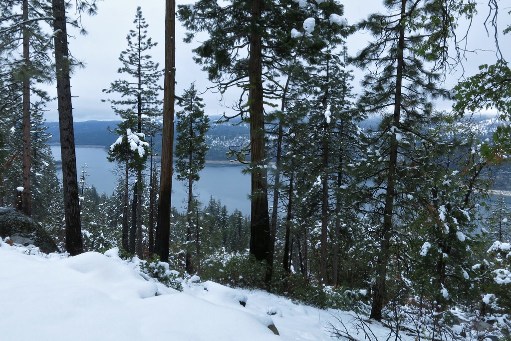
Cherry Lake
Long Barn
25122 Deborah Dr
25210 Deborah Dr
25755 Wheeler Rd
25305 Rebekah Rd
24156 Susu Ct
21937 Sunrise Dr
Quartz Ave, Mi-Wuk Village, CA, USA
20735 Haiapo Rd
20636 Hekeke Ln
Mi-wuk Village
Wuke Lane
Recent Searches:
- Elevation of Corso Fratelli Cairoli, 35, Macerata MC, Italy
- Elevation of Tallevast Rd, Sarasota, FL, USA
- Elevation of 4th St E, Sonoma, CA, USA
- Elevation of Black Hollow Rd, Pennsdale, PA, USA
- Elevation of Oakland Ave, Williamsport, PA, USA
- Elevation of Pedrógão Grande, Portugal
- Elevation of Klee Dr, Martinsburg, WV, USA
- Elevation of Via Roma, Pieranica CR, Italy
- Elevation of Tavkvetili Mountain, Georgia
- Elevation of Hartfords Bluff Cir, Mt Pleasant, SC, USA