Elevation of Rancheria Mountain, California, USA
Location: United States > California > Tuolumne County >
Longitude: -119.60794
Latitude: 37.9590877
Elevation: 2722m / 8930feet
Barometric Pressure: 73KPa
Elevation Map:
Satellite Map:
Related Photos:
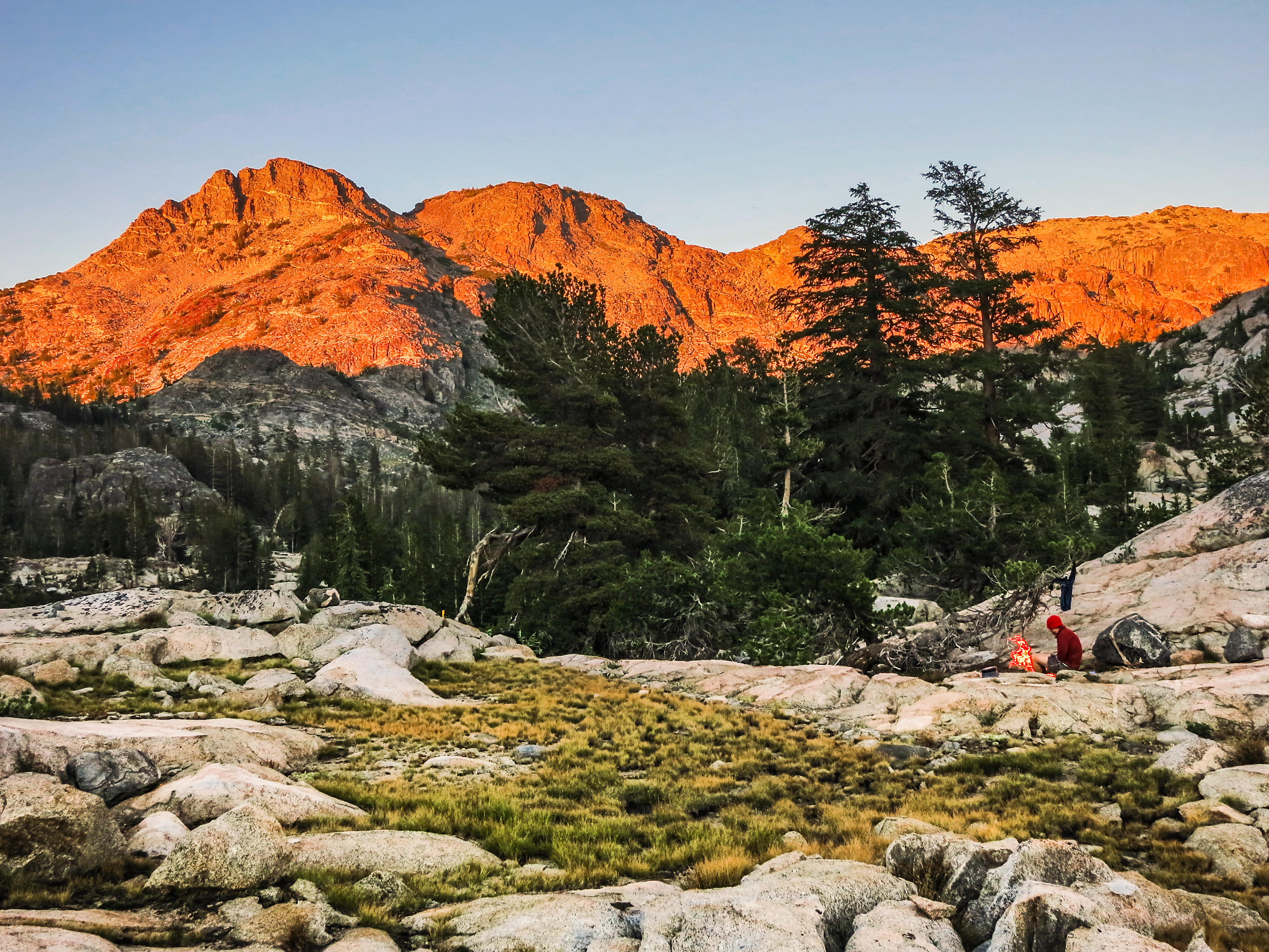
Sunset, Rodgers Lake, Day 9, Northern Yosemite Trail (NYT) 2014
May Lake, Yosemite National Park
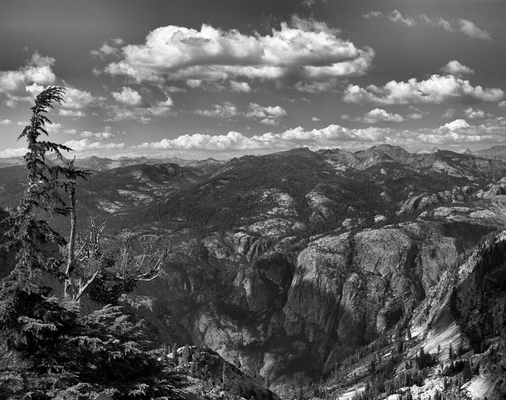
Grand Canyon of the Tuolumne - Yosemite
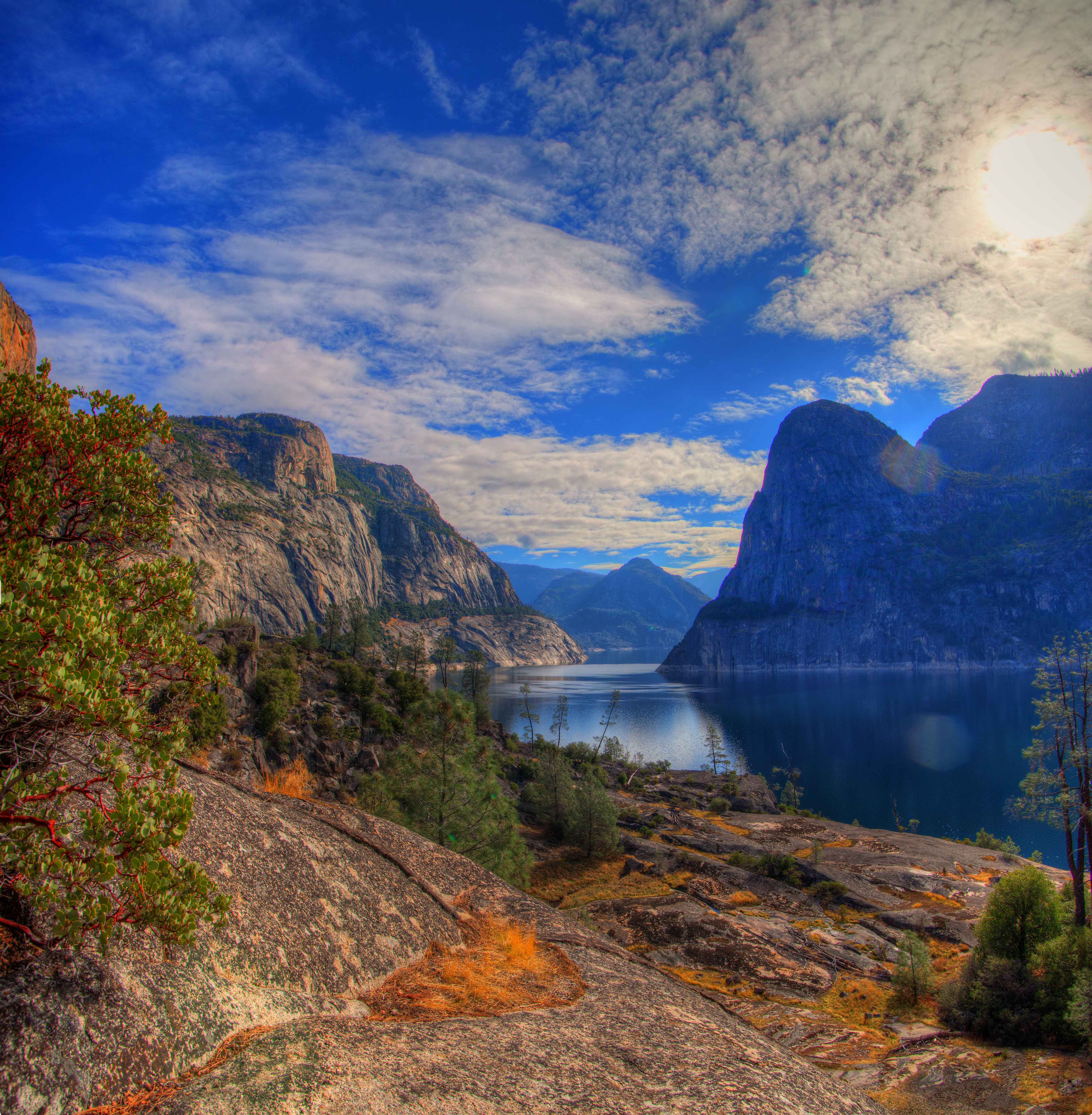
Hetch Hetchy View
Reservoir with Wapama Falls and Kolana Rock in view

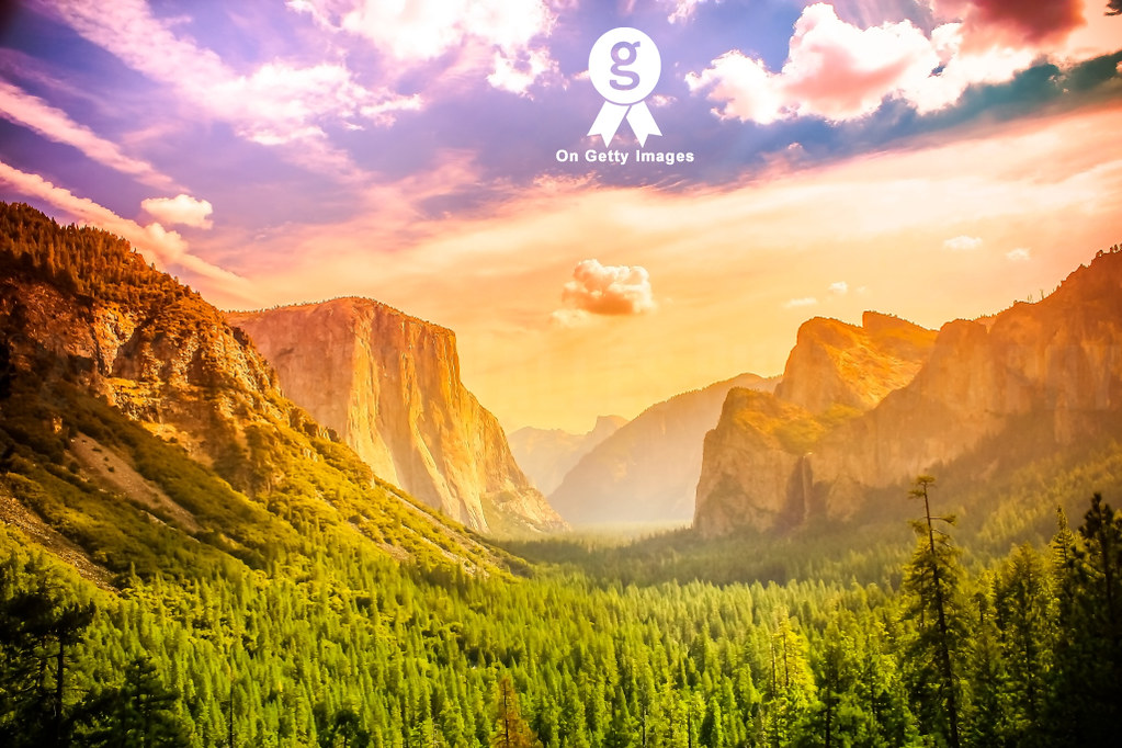
USA California Yosemite Valley Merced River Morning

IMG_4679.JPG
Yosemite National Park, CA

Grand Canyon of the Tuolumne - Yosemite N.P.

IMG_0790.JPG
Yosemite NP View
Hetch Hetchy: Day 2 views
realizing my greatness!
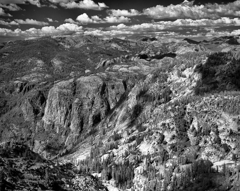
Grand Canyon of the Tuolumne - Yosemite

IMG_0826.JPG
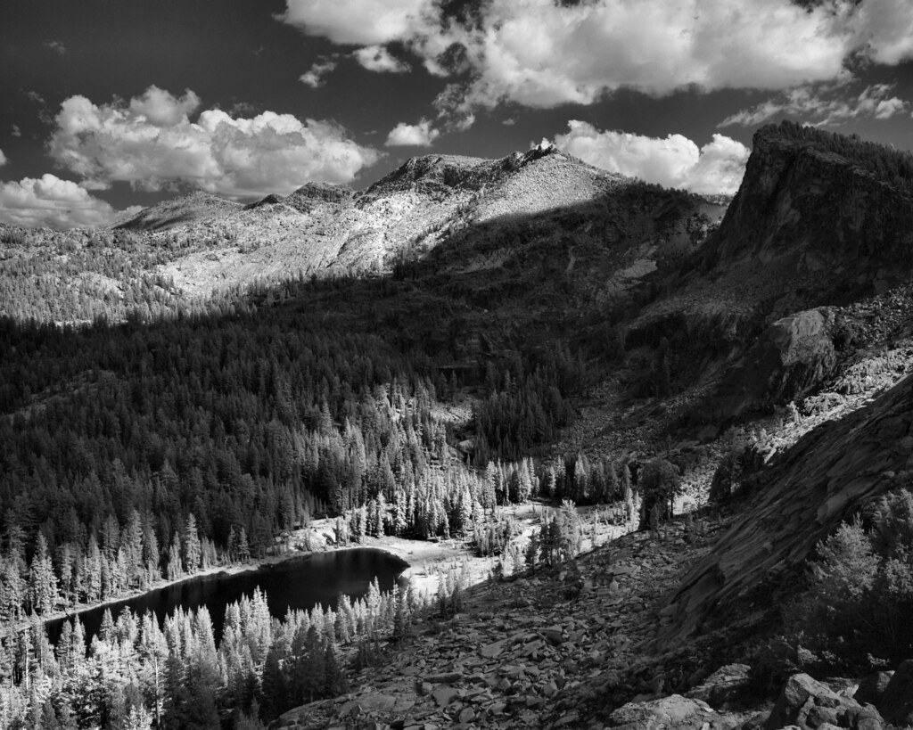
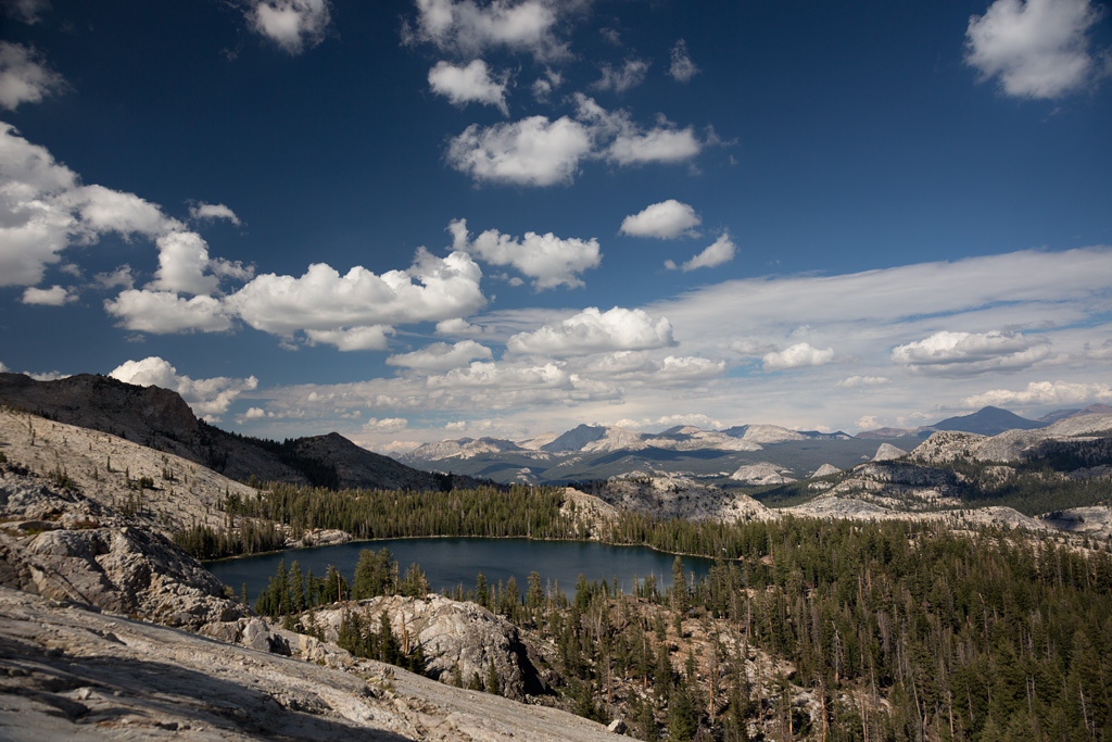
Ten Lakes Basin - Yosemite N.P.
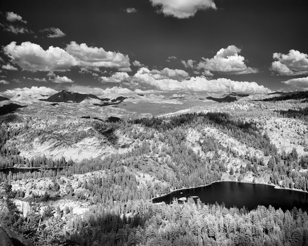
Ten Lakes Basin - Yosemite N.P.

IMG_0669.JPG
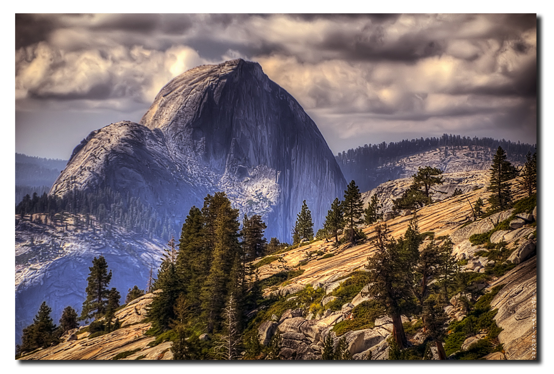
Back Dome
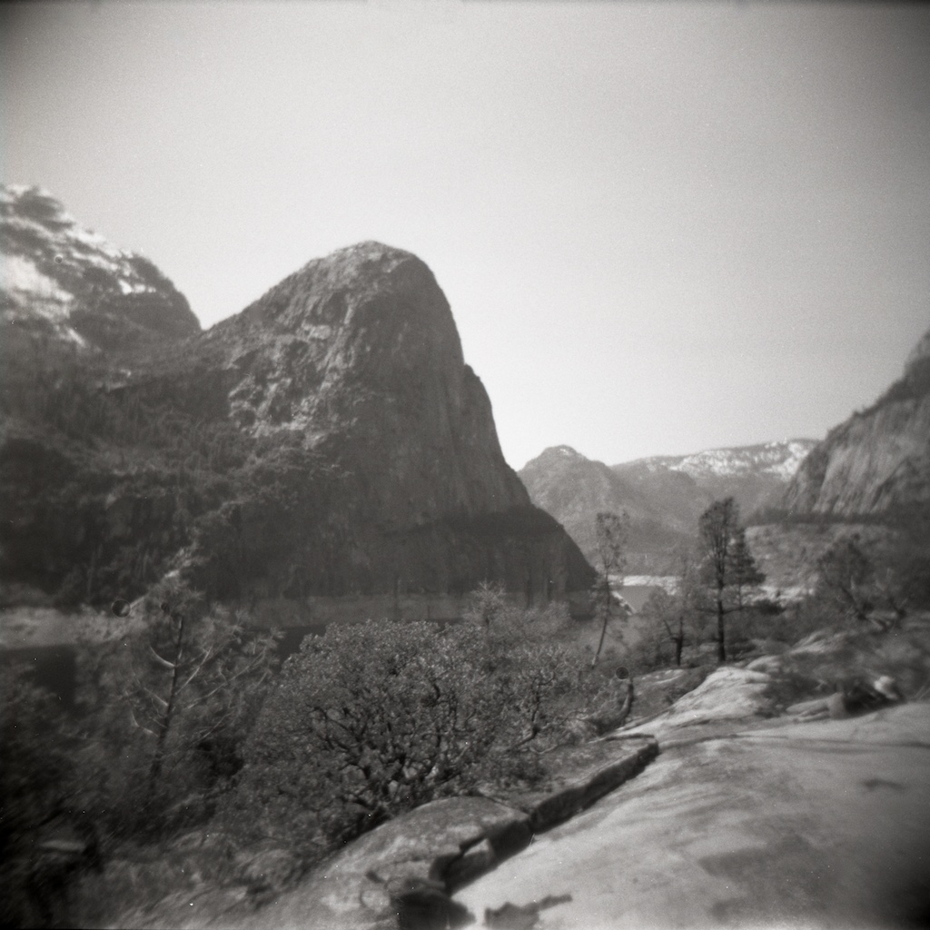
View near Hetch Hetchy

Ten Lakes Basin - Yosemite N.P.
Topographic Map of Rancheria Mountain, California, USA
Find elevation by address:

Places near Rancheria Mountain, California, USA:
Double Rock
White Wolf Campground
Yosemite National Park
Yosemite National Park
Hetch Hetchy Reservoir
Smith Peak
Indian Rock
Yosemite Falls Trail
Boundary Hill
Upper Yosemite Falls
North Dome
Yosemite Valley Visitor Center
Lower Yosemite Falls Trailhead
Yosemite Valley
Yosemite
The Majestic Yosemite Hotel
Yosemite Valley Lodge
Yosemite Village
Mirror Lake
Yosemite National Park Road
Recent Searches:
- Elevation of Corso Fratelli Cairoli, 35, Macerata MC, Italy
- Elevation of Tallevast Rd, Sarasota, FL, USA
- Elevation of 4th St E, Sonoma, CA, USA
- Elevation of Black Hollow Rd, Pennsdale, PA, USA
- Elevation of Oakland Ave, Williamsport, PA, USA
- Elevation of Pedrógão Grande, Portugal
- Elevation of Klee Dr, Martinsburg, WV, USA
- Elevation of Via Roma, Pieranica CR, Italy
- Elevation of Tavkvetili Mountain, Georgia
- Elevation of Hartfords Bluff Cir, Mt Pleasant, SC, USA