Elevation map of Merced County, CA, USA
Location: United States > California >
Longitude: -120.71200
Latitude: 37.2009788
Elevation: 28m / 92feet
Barometric Pressure: 101KPa
Elevation Map:
Satellite Map:
Related Photos:
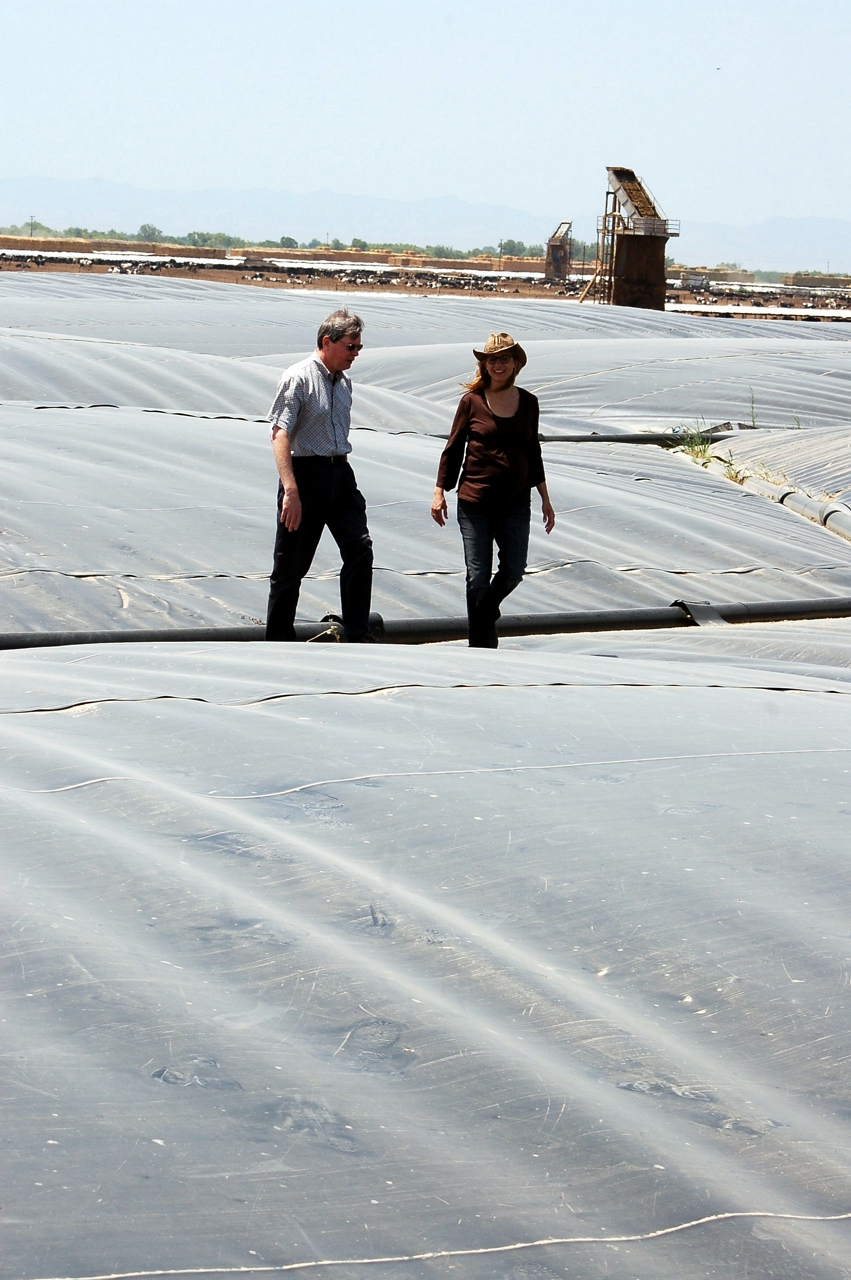
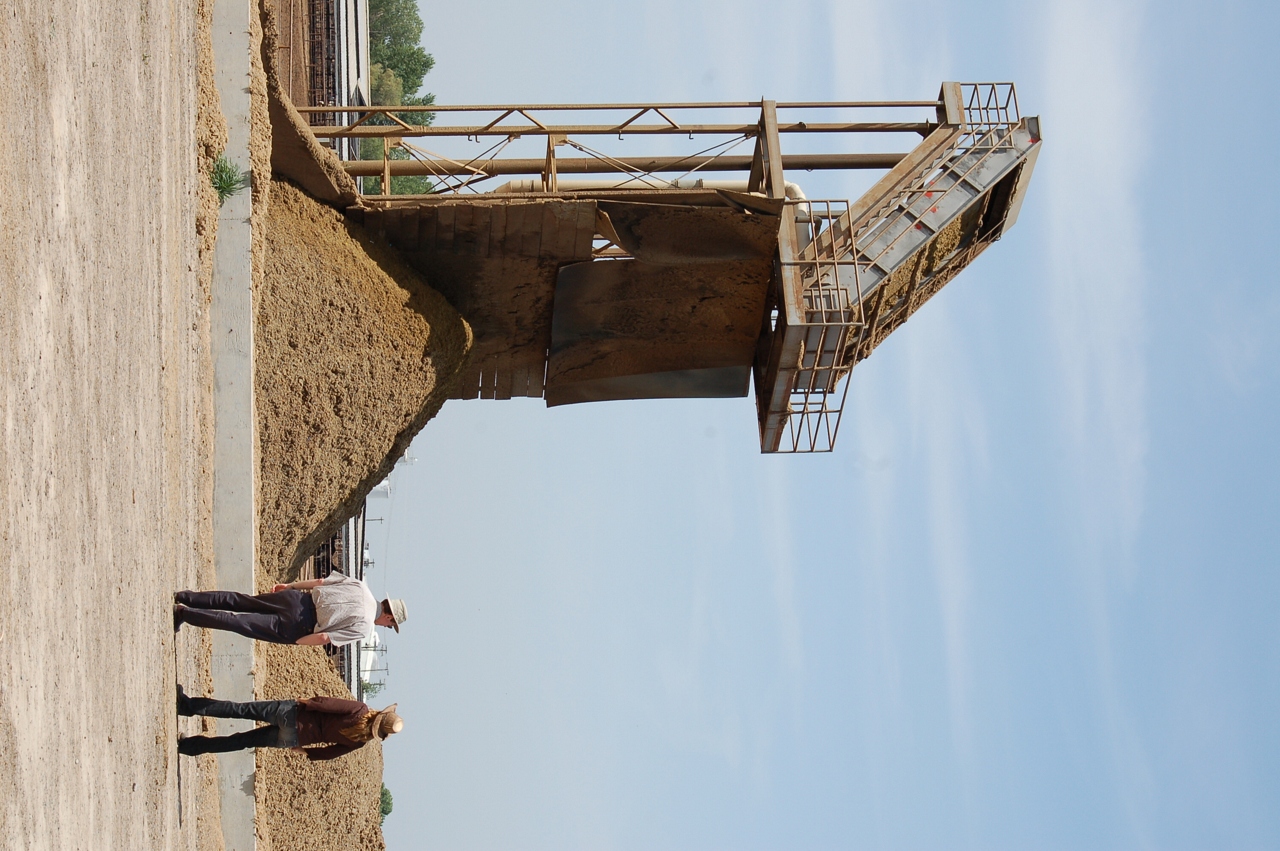
Waste to Power: Step 1
Waste to Power: Step 4
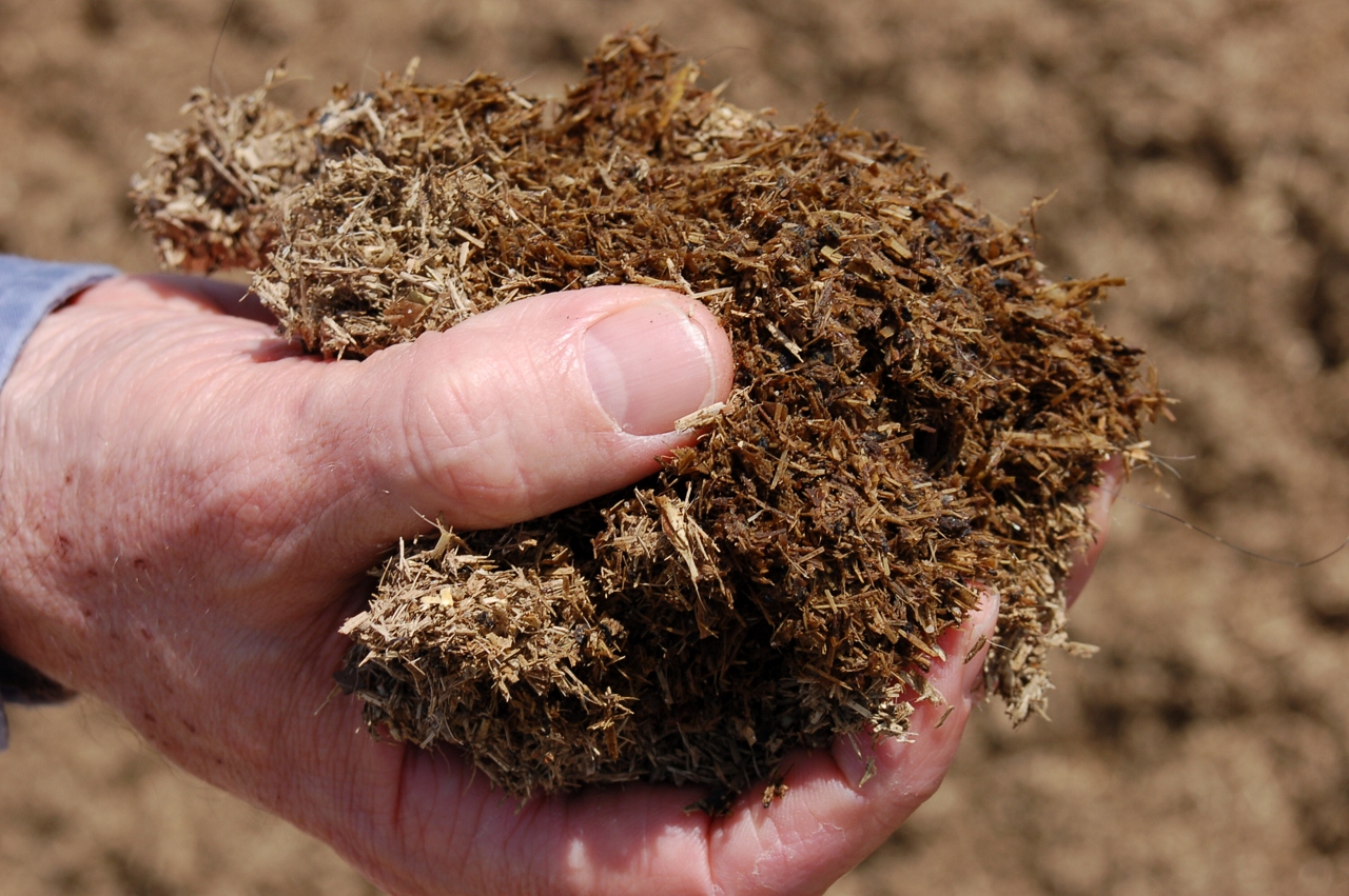
Waste to Power: Step 3
Waste to Power: Step 2
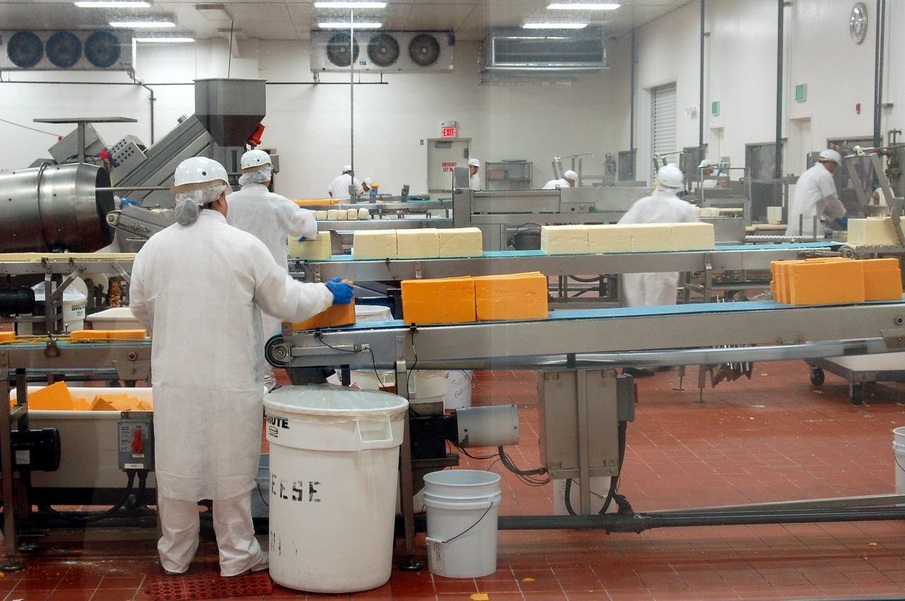
A Green Market
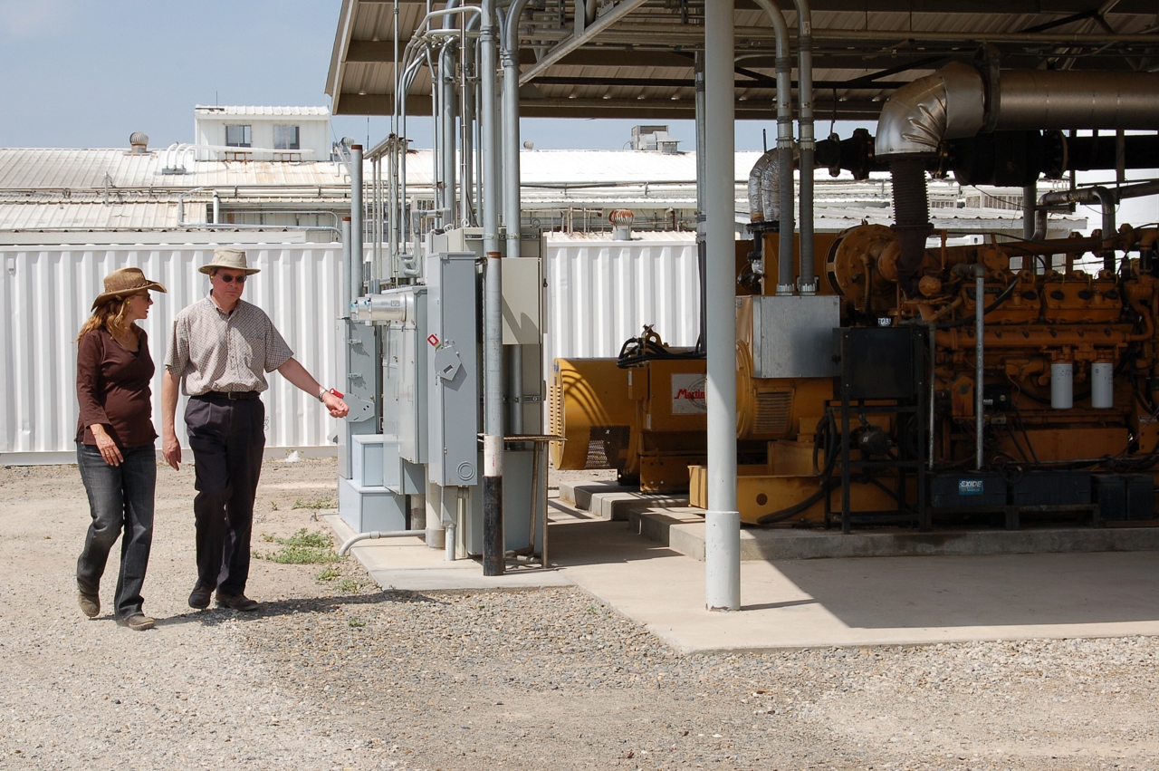
Waste to Power: Step 5
Waste to Power: Step 6
Sustainable Conservation
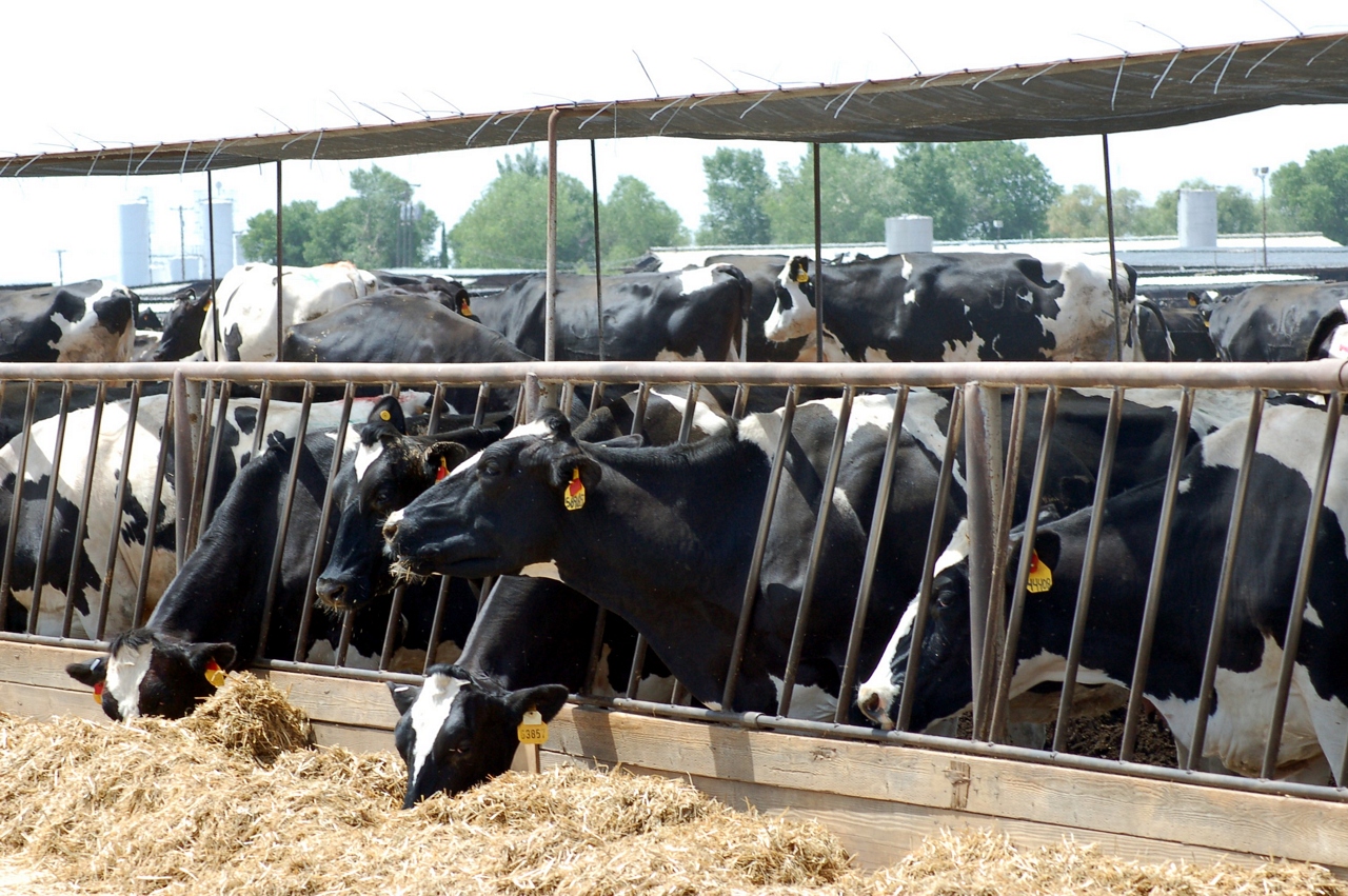
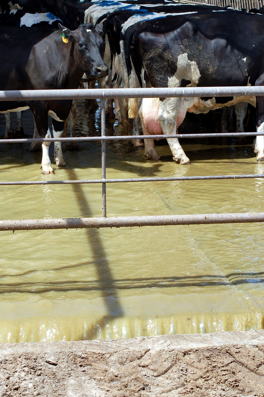
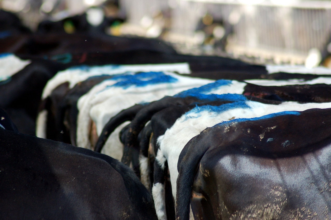
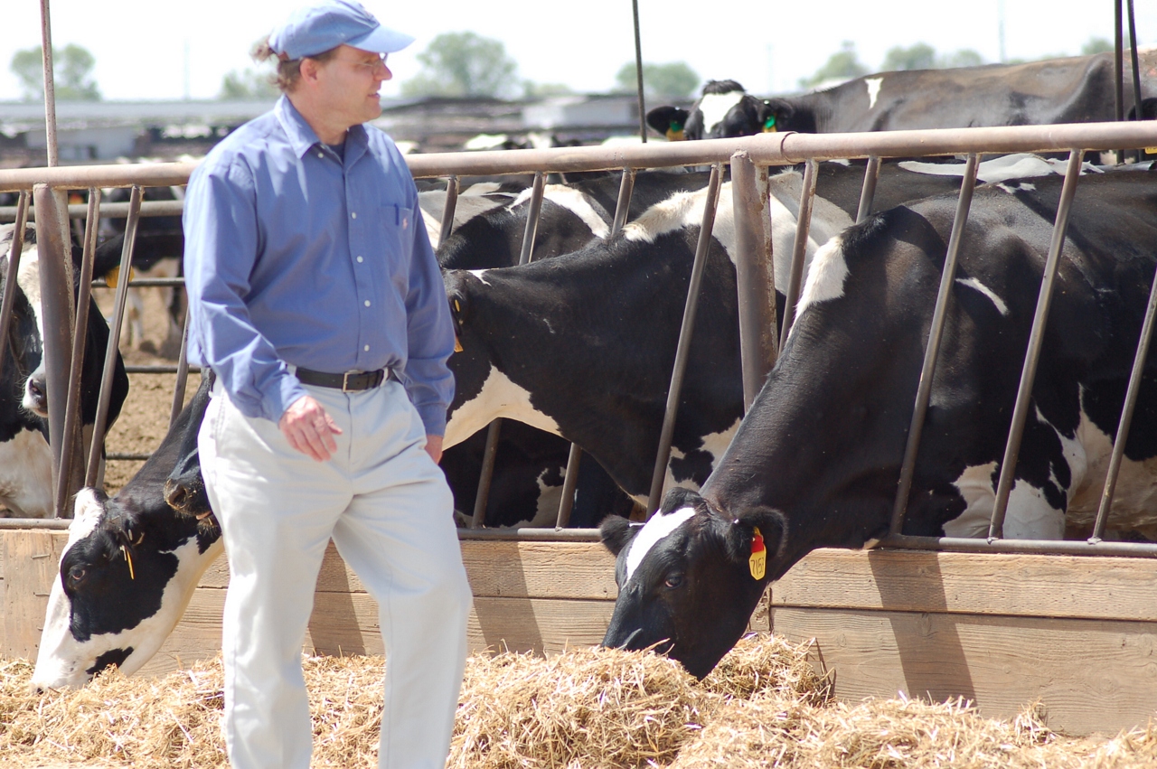
Milk and Biogas
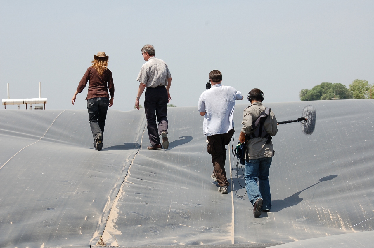
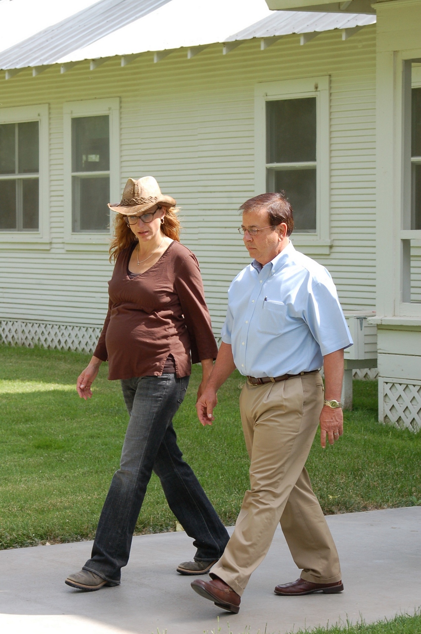
KQED Quest TV Shoot
Joseph Gallo Farms
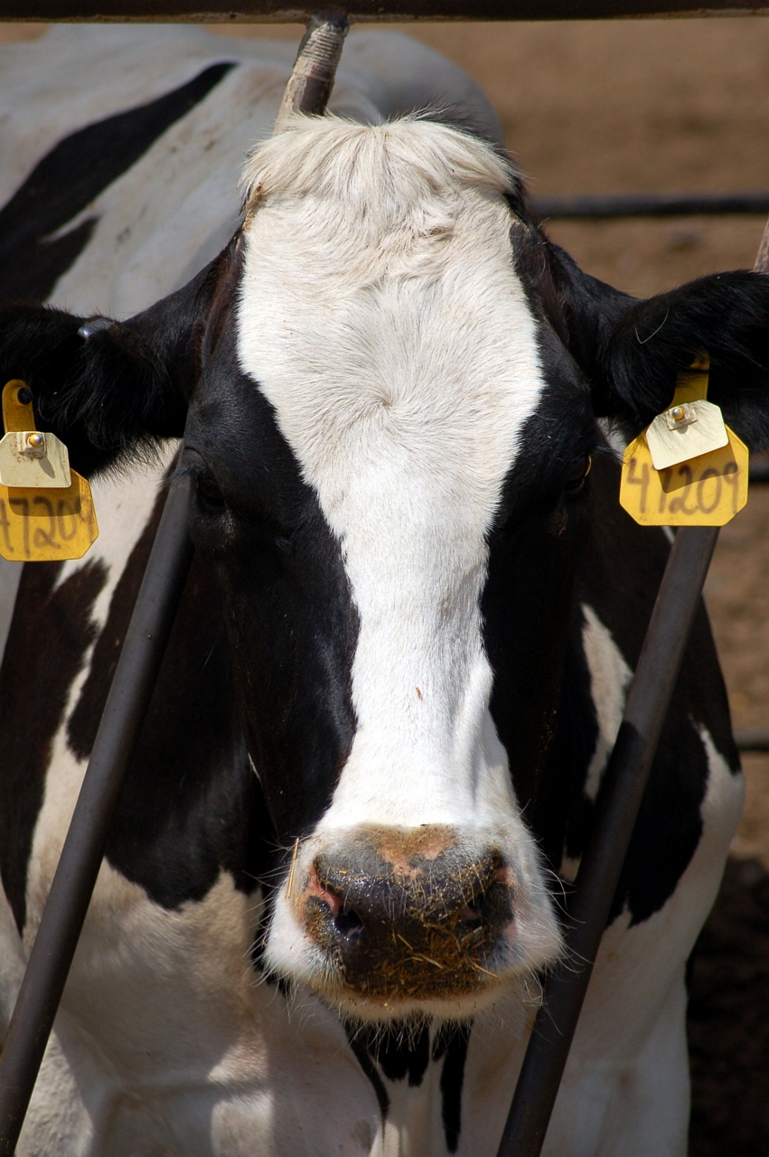
A Greener Cow
Sunset at Merced National Wildlife Refuge.
PRE-DAWN FLIGHT
Black Tailed Deer
Ross's Geese
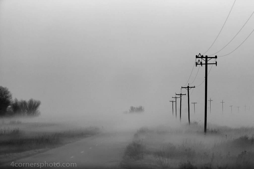
Foggy Morning, Merced County, CA
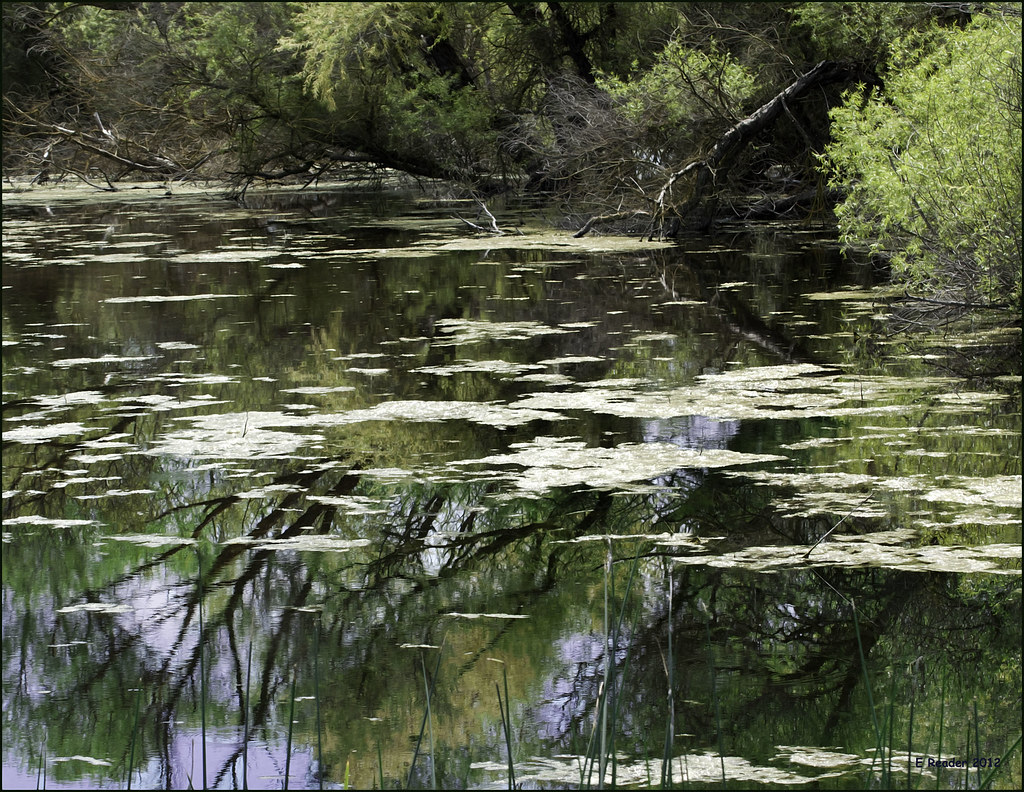
Reflections IMG_0252
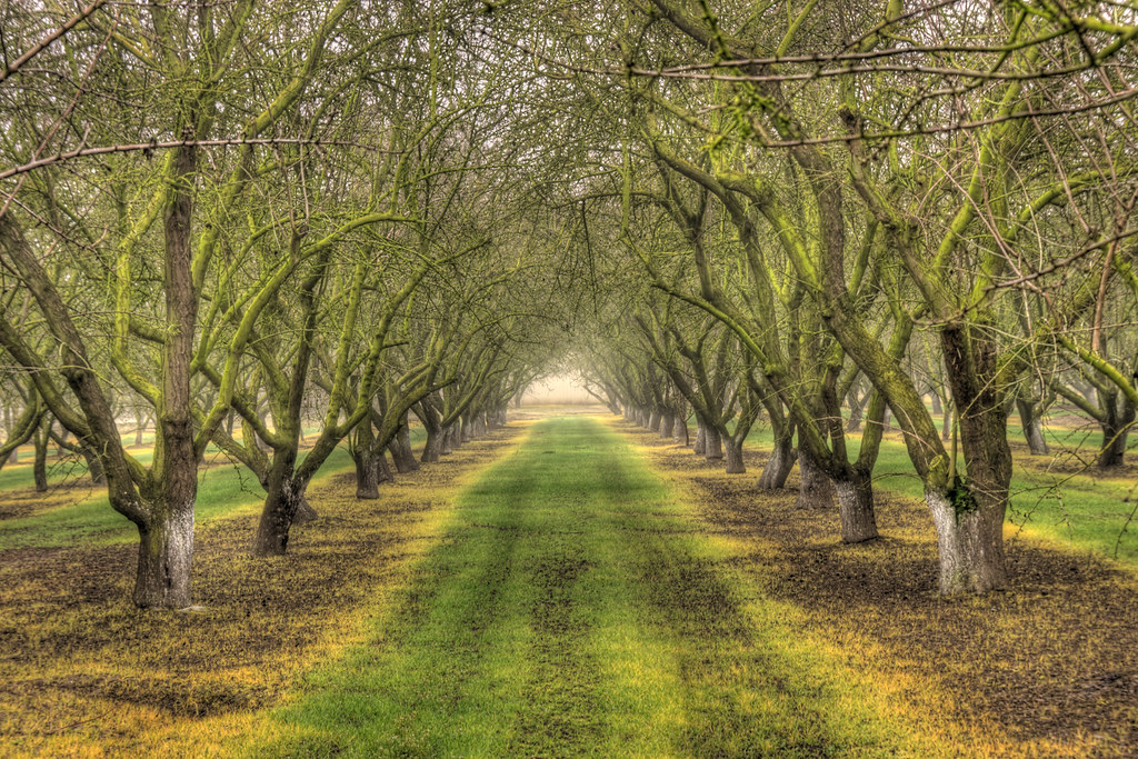
Rows of Almond Trees

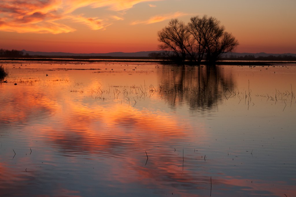
Orange Sunset

Sun-reeds
20151121-201501-49

Tundra Swans
Red-tailed Hawk

20160123-IMG_0212
.
San Luis Wildlife Preserve
Central Valley, California #losbanos #california #wildlife #spring
Reflections on a River
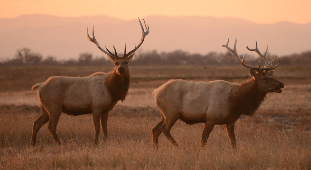
Tule Elk (Cervus canadensis nannodes) at Sunset, San Luis National Wildlife Refuge, California
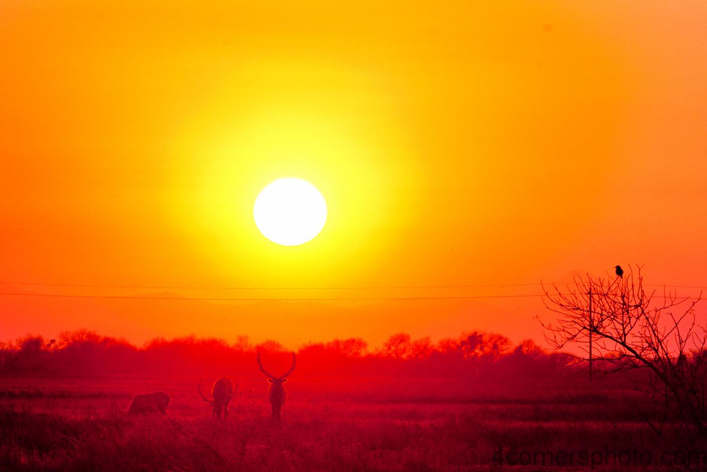
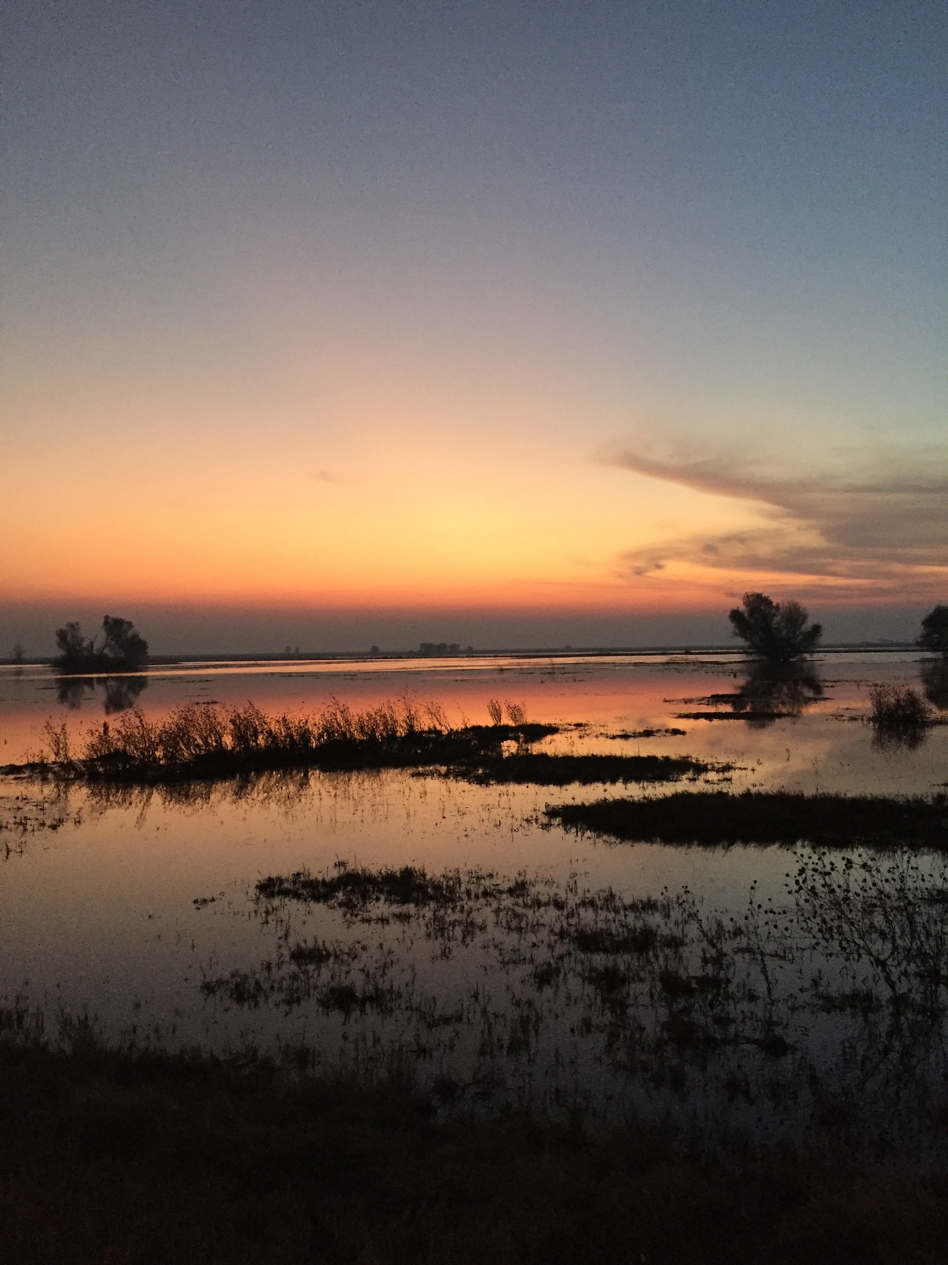
Winter Sunset, Merced County, CA
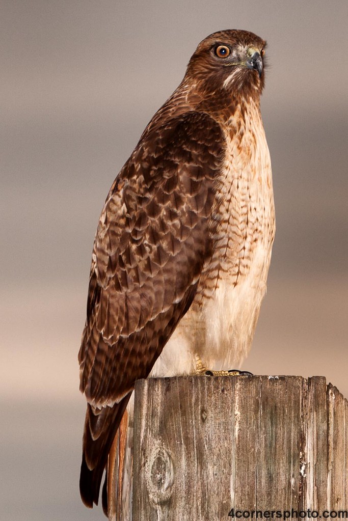
Perched Red-tailed Hawk, Merced County, CA

20160123-_MG_0395
Topographic Map of Merced County, CA, USA
Find elevation by address:

Places in Merced County, CA, USA:
Merced
Dos Palos
Atwater
Livingston
Gustine
Winton
Los Banos
Delhi
Cressey
El Nido
Planada
South Dos Palos
Lewis St, Snelling, CA, USA
Oakdale Rd, Winton, CA, USA
3rd Ave, Stevinson, CA, USA
Ballico
Hilmar
Le Grand
Stevinson
Amsterdam
Merced Falls
Ingomar
Places near Merced County, CA, USA:
Merced National Wildlife Refuge
4600 Steinberg Rd
4998 Steinberg Rd
4998 Steinberg Rd
Azusa Ave, Dos Palos, CA, USA
Olive Ave, Livingston, CA, USA
1037 Peachwood Ct
Atwater
Third St, Atwater, CA, USA
Livingston
Court St, Livingston, CA, USA
1540 Spruce Ave
Stevinson
3rd Ave, Stevinson, CA, USA
Soares Dairy Farms Inc
Los Banos
Britto Rd, Dos Palos, CA, USA
16491 Cotton Rd
N Buhach Rd, Atwater, CA, USA
20068 River Rd
Recent Searches:
- Elevation of Corso Fratelli Cairoli, 35, Macerata MC, Italy
- Elevation of Tallevast Rd, Sarasota, FL, USA
- Elevation of 4th St E, Sonoma, CA, USA
- Elevation of Black Hollow Rd, Pennsdale, PA, USA
- Elevation of Oakland Ave, Williamsport, PA, USA
- Elevation of Pedrógão Grande, Portugal
- Elevation of Klee Dr, Martinsburg, WV, USA
- Elevation of Via Roma, Pieranica CR, Italy
- Elevation of Tavkvetili Mountain, Georgia
- Elevation of Hartfords Bluff Cir, Mt Pleasant, SC, USA