Elevation of 3rd Ave, Stevinson, CA, USA
Location: United States > California > Merced County >
Longitude: -120.85158
Latitude: 37.327352
Elevation: 26m / 85feet
Barometric Pressure: 101KPa
Elevation Map:
Satellite Map:
Related Photos:
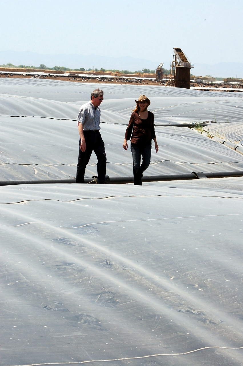
Waste to Power: Step 1
Waste to Power: Step 4
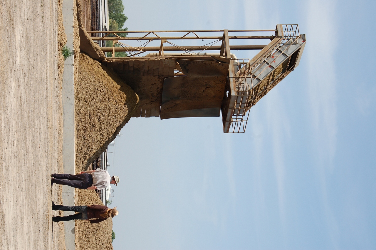
Waste to Power: Step 2
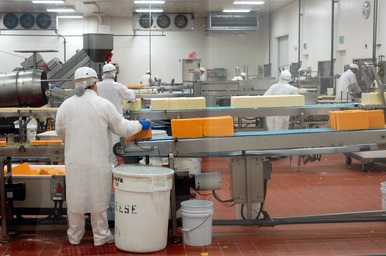
A Green Market
Waste to Power: Step 5
Waste to Power: Step 6

Sustainable Conservation
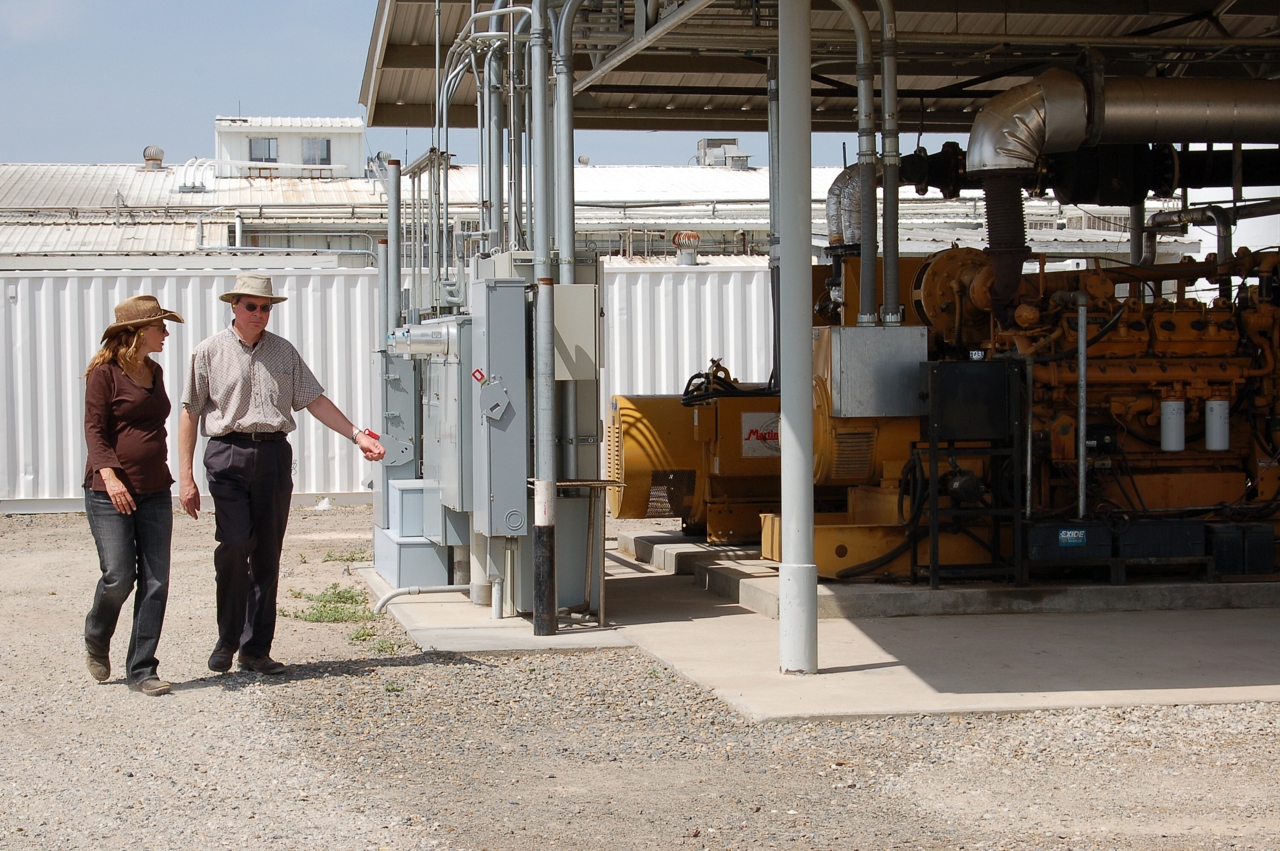
Milk and Biogas
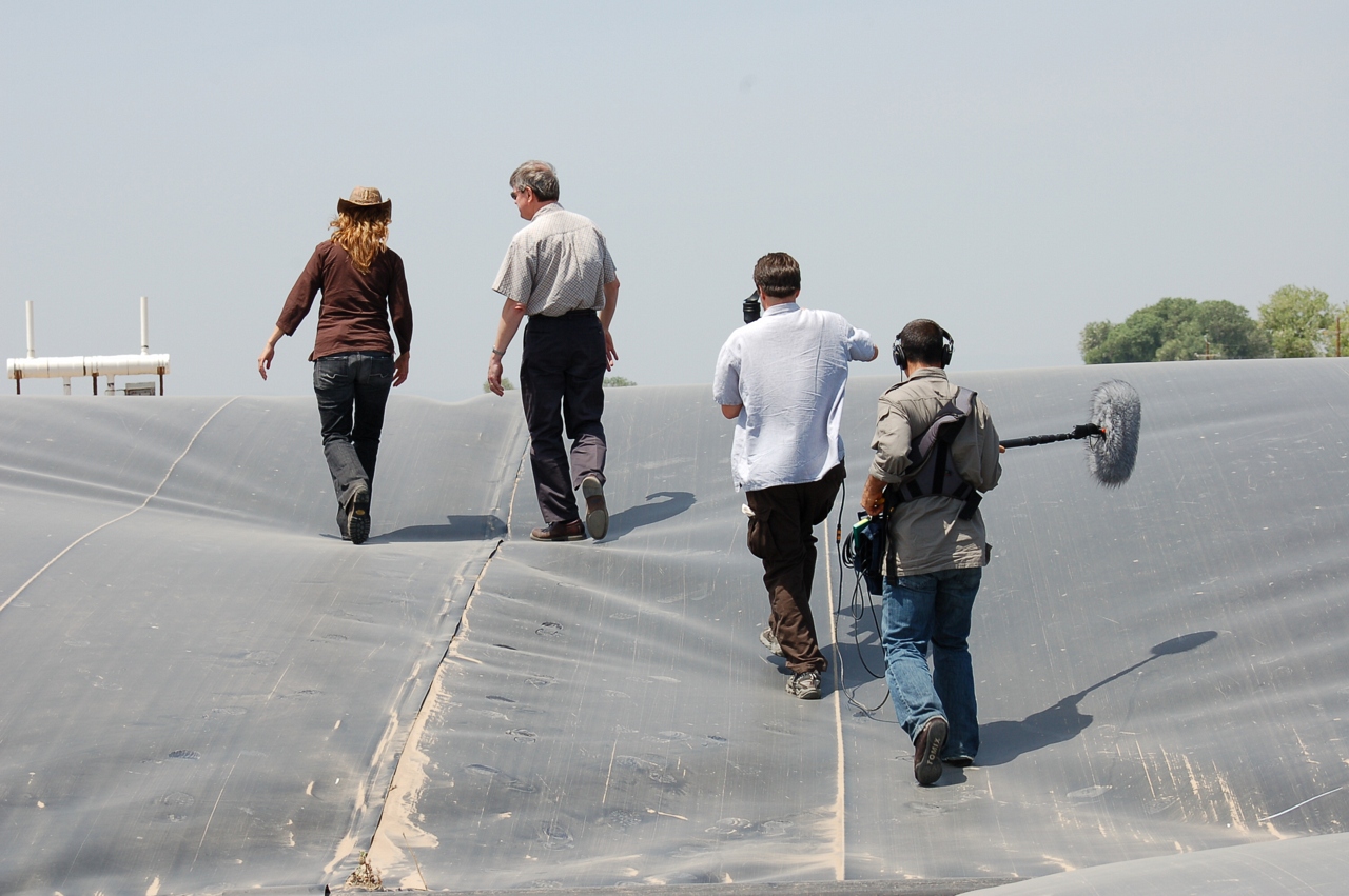
KQED Quest TV Shoot
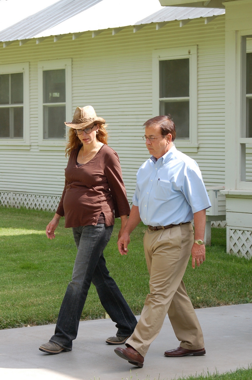
Joseph Gallo Farms
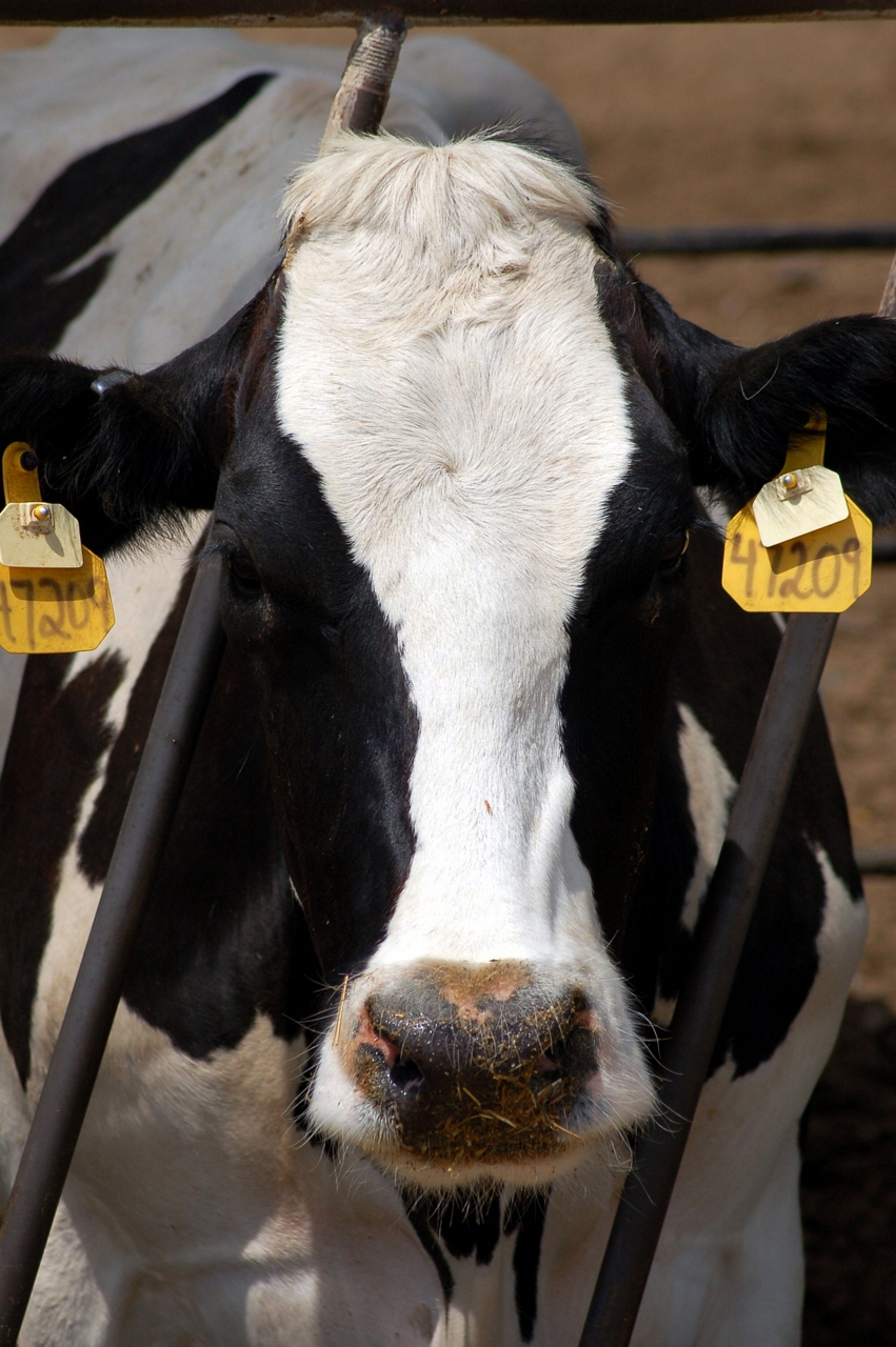
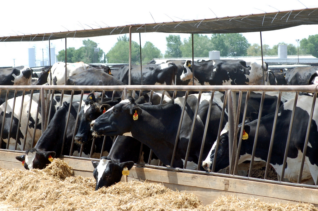
A Greener Cow

Collier Road Railroad Crossing View
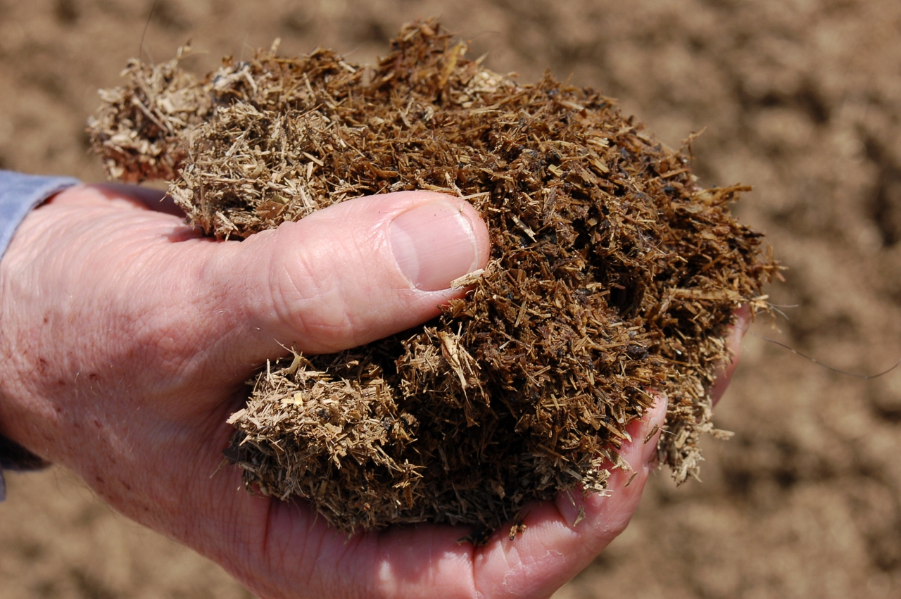
Waste to Power: Step 3

El Captain Way Railroad Crossing

they dreamed dreams. maybe shouldn't have.
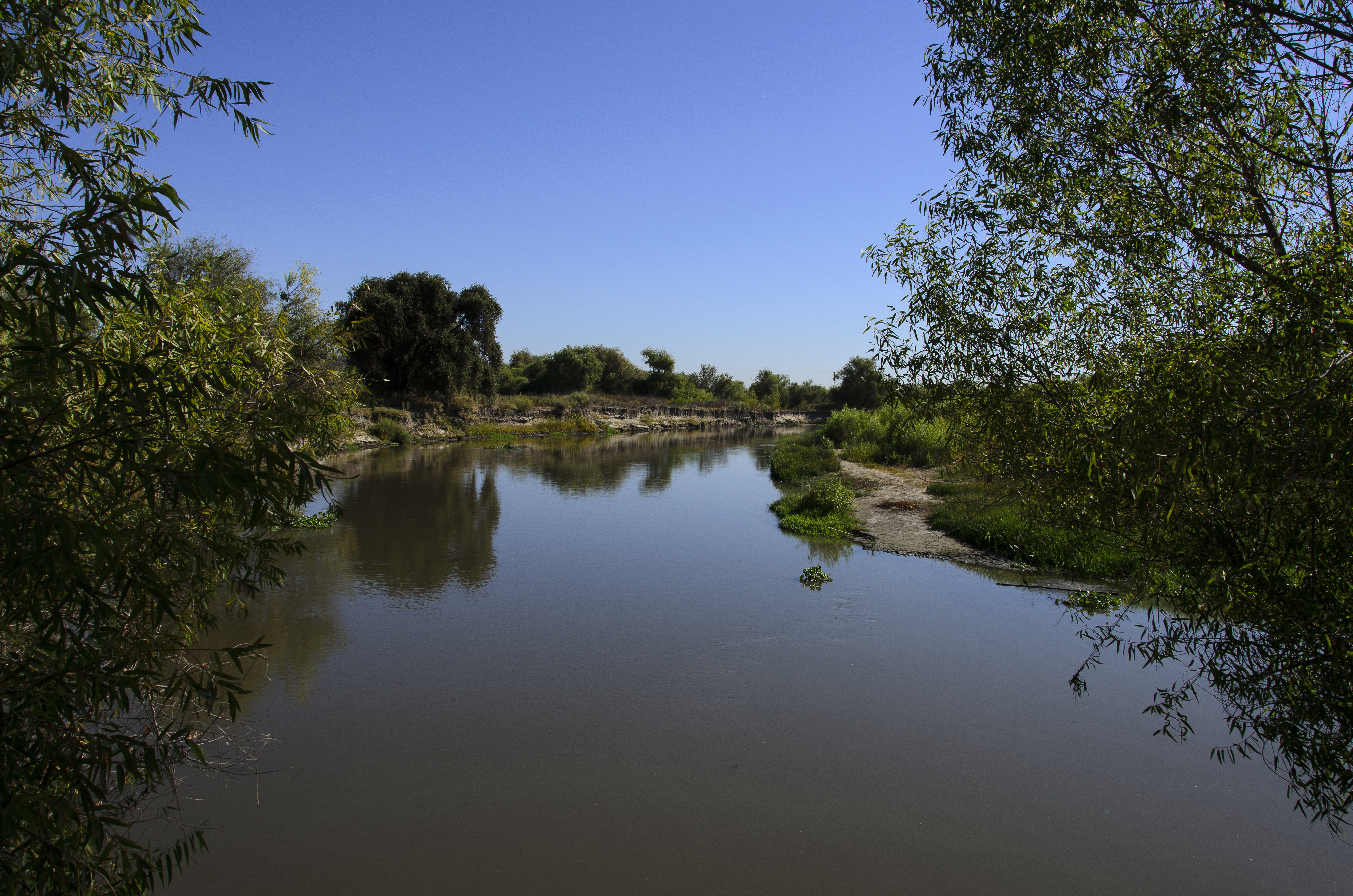
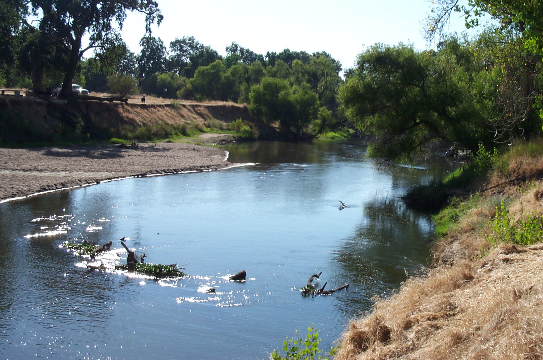
San Joaquin River
San Joaquin River overflow
Merced River spilling it's banks.
Rows of Almond Trees

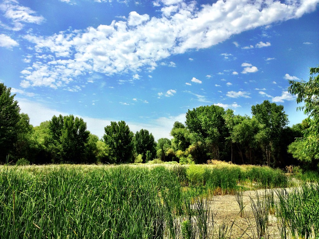
Sun-reeds
Black Tailed Deer
San Luis Wildlife Preserve
Central Valley, California #losbanos #california #wildlife #spring

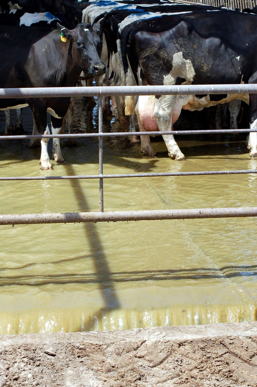
20040623_Hatfield_Cows-045
20040623_Hatfield_Cows-045
Foster Farms in the background, young almond trees, sweet potatoes, and wildflowers.

BNSF4604 Manifest westbound in the Tehachipi Loop.
OOO Today

Made it to here!!

Rising Sun and Fog, Merced County, CA
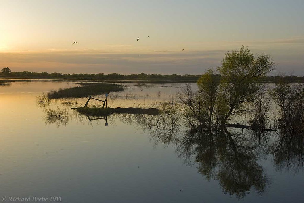
RB_05-02-11_005a-100_SanLuisNWR
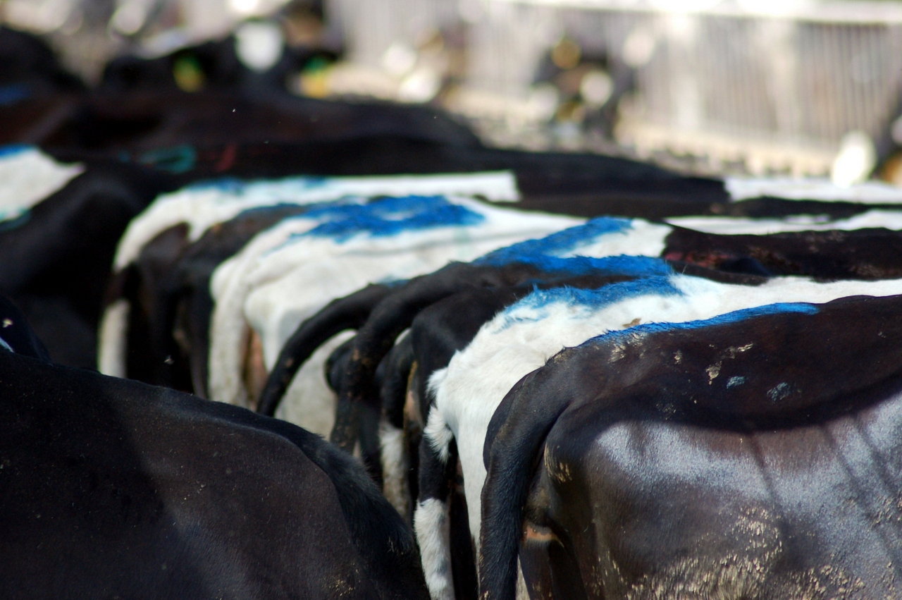
20040623_Hatfield_Cows-044

20040623_Hatfield_Cows-044

Morning Fog, Merced County, CA
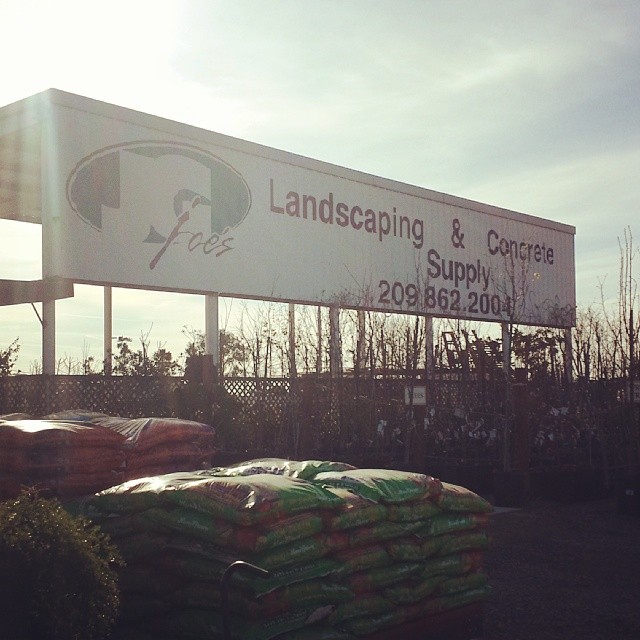
Beautiful day at @joeslandscapeconcreteinc Welcome to Twitter @joes_landscape
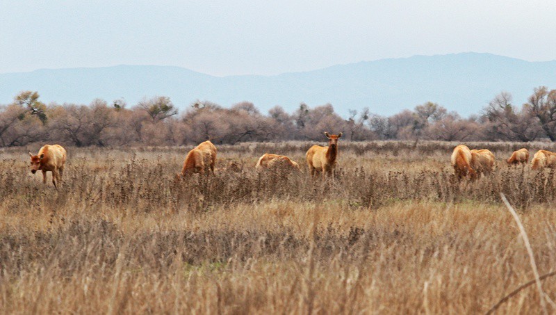
Tule Elk Cows
Topographic Map of 3rd Ave, Stevinson, CA, USA
Find elevation by address:

Places near 3rd Ave, Stevinson, CA, USA:
Stevinson
20068 River Rd
Hilmar
Hilmar, CA, USA
Delhi
Golden State Highway
Livingston
Court St, Livingston, CA, USA
931 E Linwood Ave
S Faith Home Rd, Turlock, CA, USA
Turlock, CA, USA
Turlock
1532 Merritt St
Olive Ave, Livingston, CA, USA
Santa Fe Dr, Turlock, CA, USA
2412 Dow St
Merced County
1400 Trinity Way
4998 Steinberg Rd
4998 Steinberg Rd
Recent Searches:
- Elevation of Corso Fratelli Cairoli, 35, Macerata MC, Italy
- Elevation of Tallevast Rd, Sarasota, FL, USA
- Elevation of 4th St E, Sonoma, CA, USA
- Elevation of Black Hollow Rd, Pennsdale, PA, USA
- Elevation of Oakland Ave, Williamsport, PA, USA
- Elevation of Pedrógão Grande, Portugal
- Elevation of Klee Dr, Martinsburg, WV, USA
- Elevation of Via Roma, Pieranica CR, Italy
- Elevation of Tavkvetili Mountain, Georgia
- Elevation of Hartfords Bluff Cir, Mt Pleasant, SC, USA