Elevation of Turlock, CA, USA
Location: United States > California > Stanislaus County >
Longitude: -120.84659
Latitude: 37.4946568
Elevation: 34m / 112feet
Barometric Pressure: 101KPa
Elevation Map:
Satellite Map:
Related Photos:
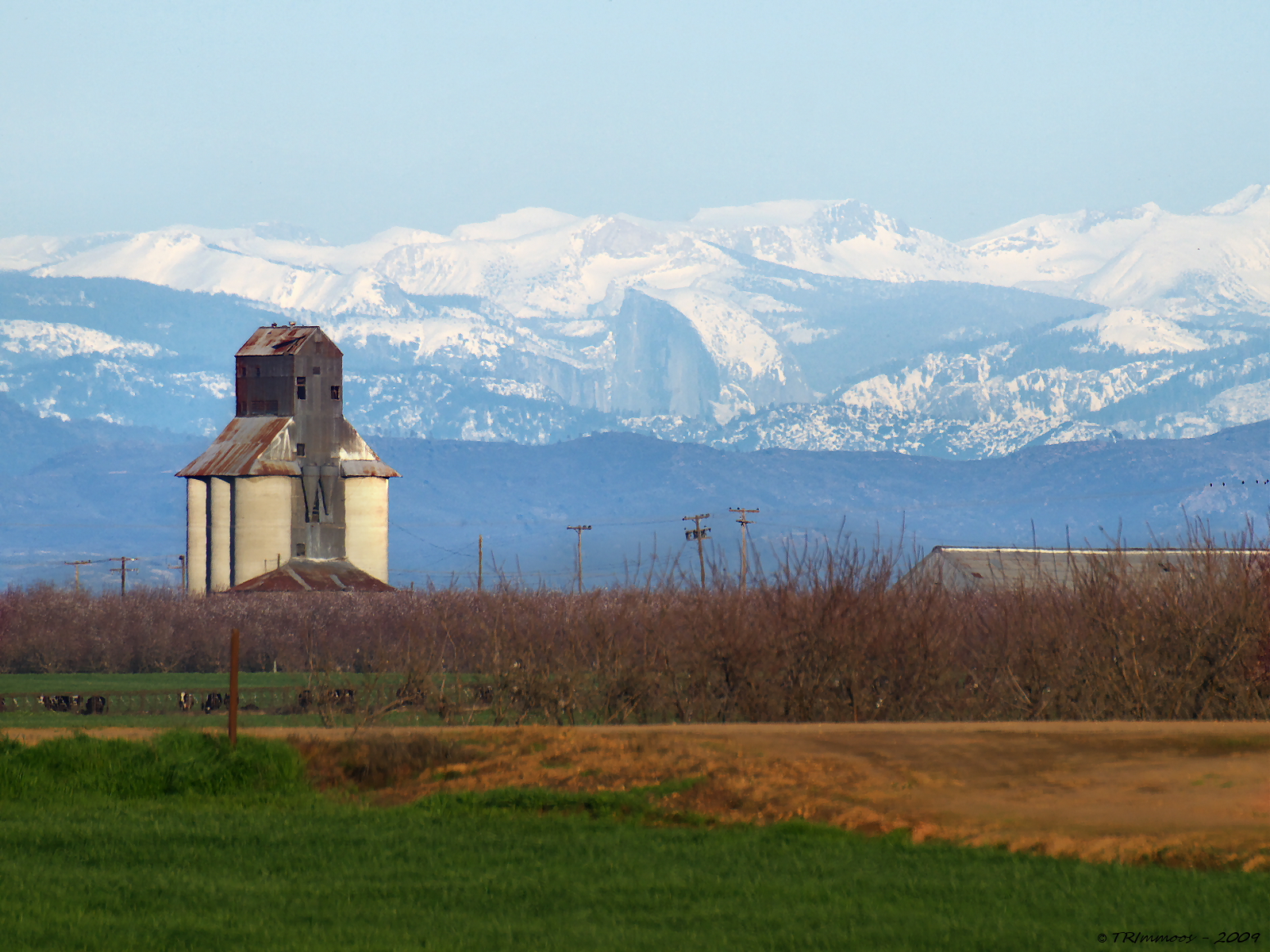
On The Outside Looking In
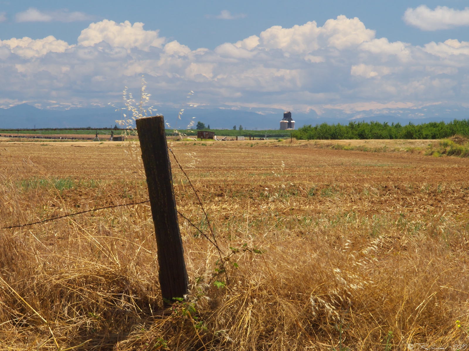
A Return Trip
Topographic Map of Turlock, CA, USA
Find elevation by address:

Places in Turlock, CA, USA:
Places near Turlock, CA, USA:
1532 Merritt St
931 E Linwood Ave
2412 Dow St
1400 Trinity Way
4206 Piro Ct
4150 Ash Rd
Denair
Main St, Denair, CA, USA
Turlock, CA, USA
Golden State Highway
S Faith Home Rd, Turlock, CA, USA
8th St, Keyes, CA, USA
Keyes
Hughson Ave, Hughson, CA, USA
9431 E Whitmore Ave
Hughson
Santa Fe Dr, Turlock, CA, USA
1220 Geer Rd
N Montpelier Rd, Denair, CA, USA
Ballico
Recent Searches:
- Elevation of Corso Fratelli Cairoli, 35, Macerata MC, Italy
- Elevation of Tallevast Rd, Sarasota, FL, USA
- Elevation of 4th St E, Sonoma, CA, USA
- Elevation of Black Hollow Rd, Pennsdale, PA, USA
- Elevation of Oakland Ave, Williamsport, PA, USA
- Elevation of Pedrógão Grande, Portugal
- Elevation of Klee Dr, Martinsburg, WV, USA
- Elevation of Via Roma, Pieranica CR, Italy
- Elevation of Tavkvetili Mountain, Georgia
- Elevation of Hartfords Bluff Cir, Mt Pleasant, SC, USA