Elevation of El Nido, CA, USA
Location: United States > California > Merced County >
Longitude: -120.49217
Latitude: 37.1349185
Elevation: 41m / 135feet
Barometric Pressure: 101KPa
Elevation Map:
Satellite Map:
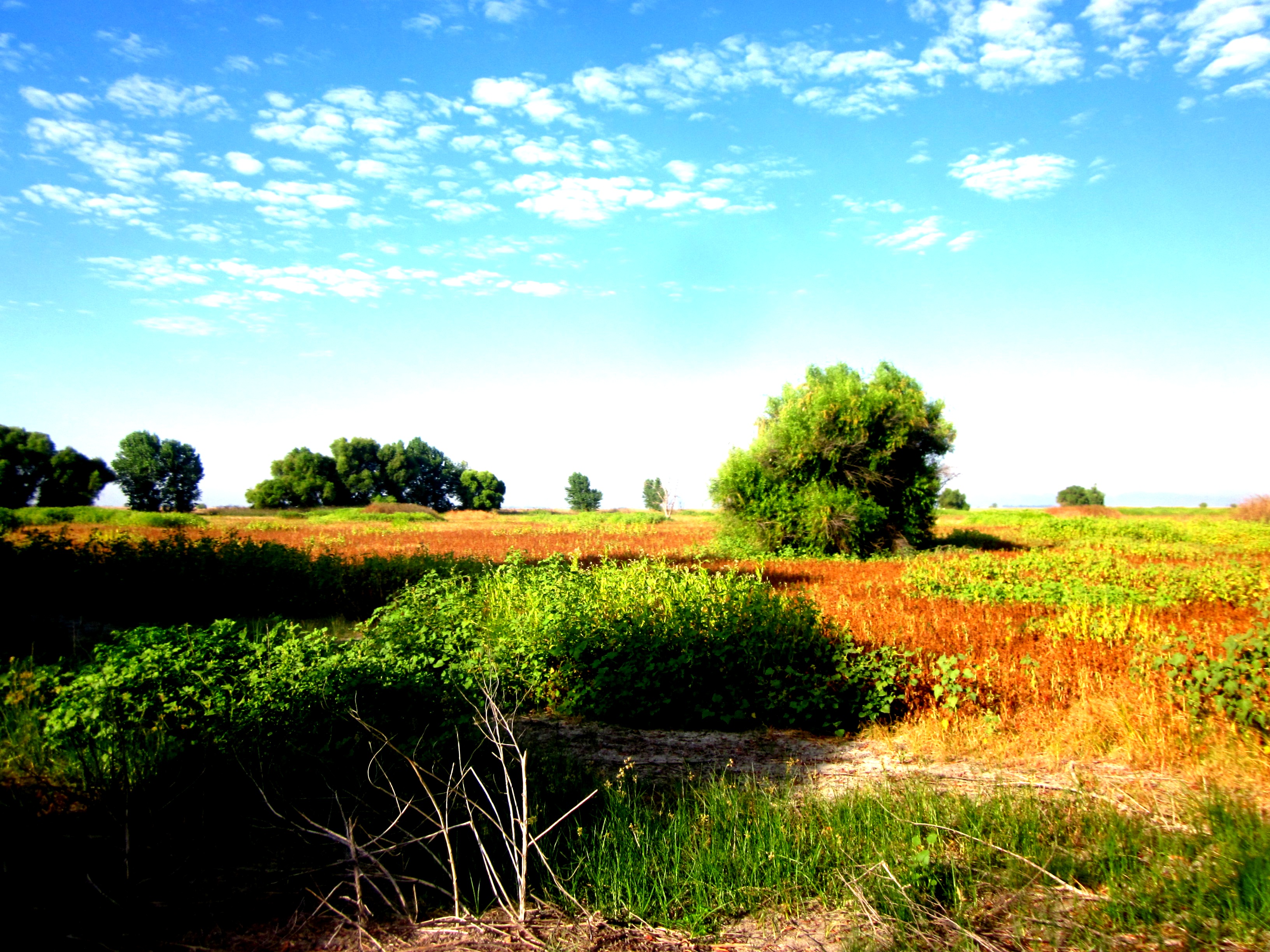
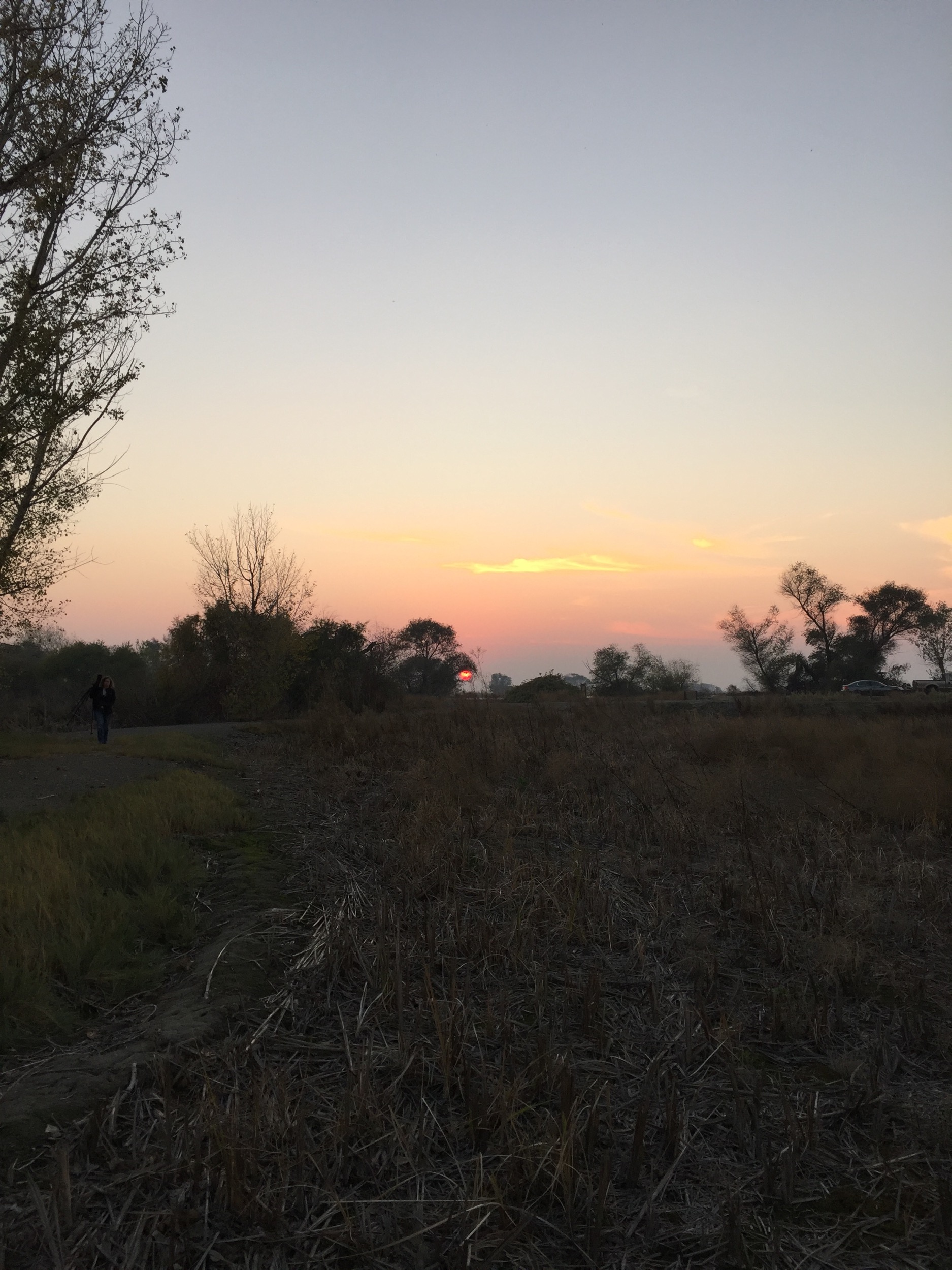
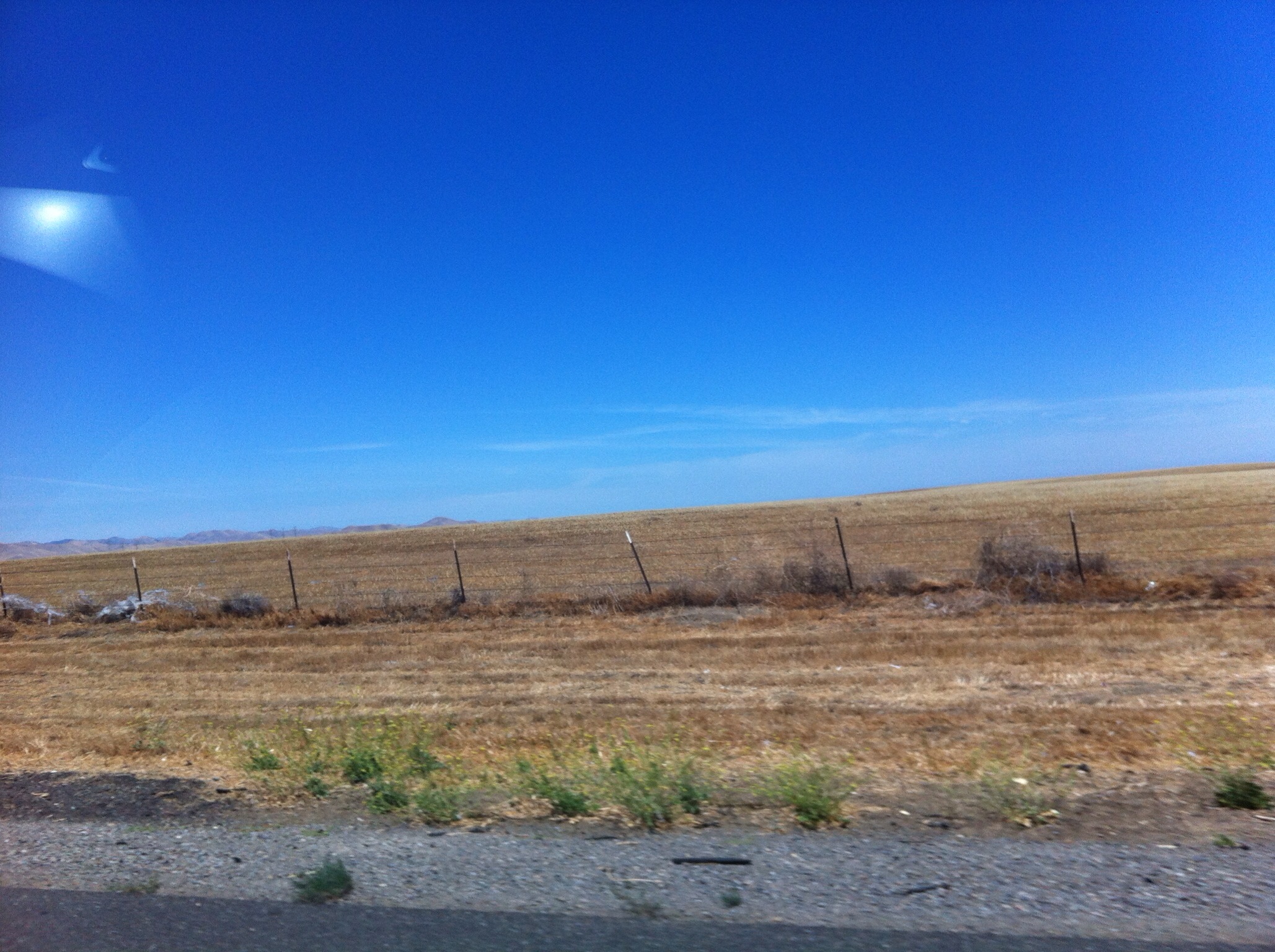
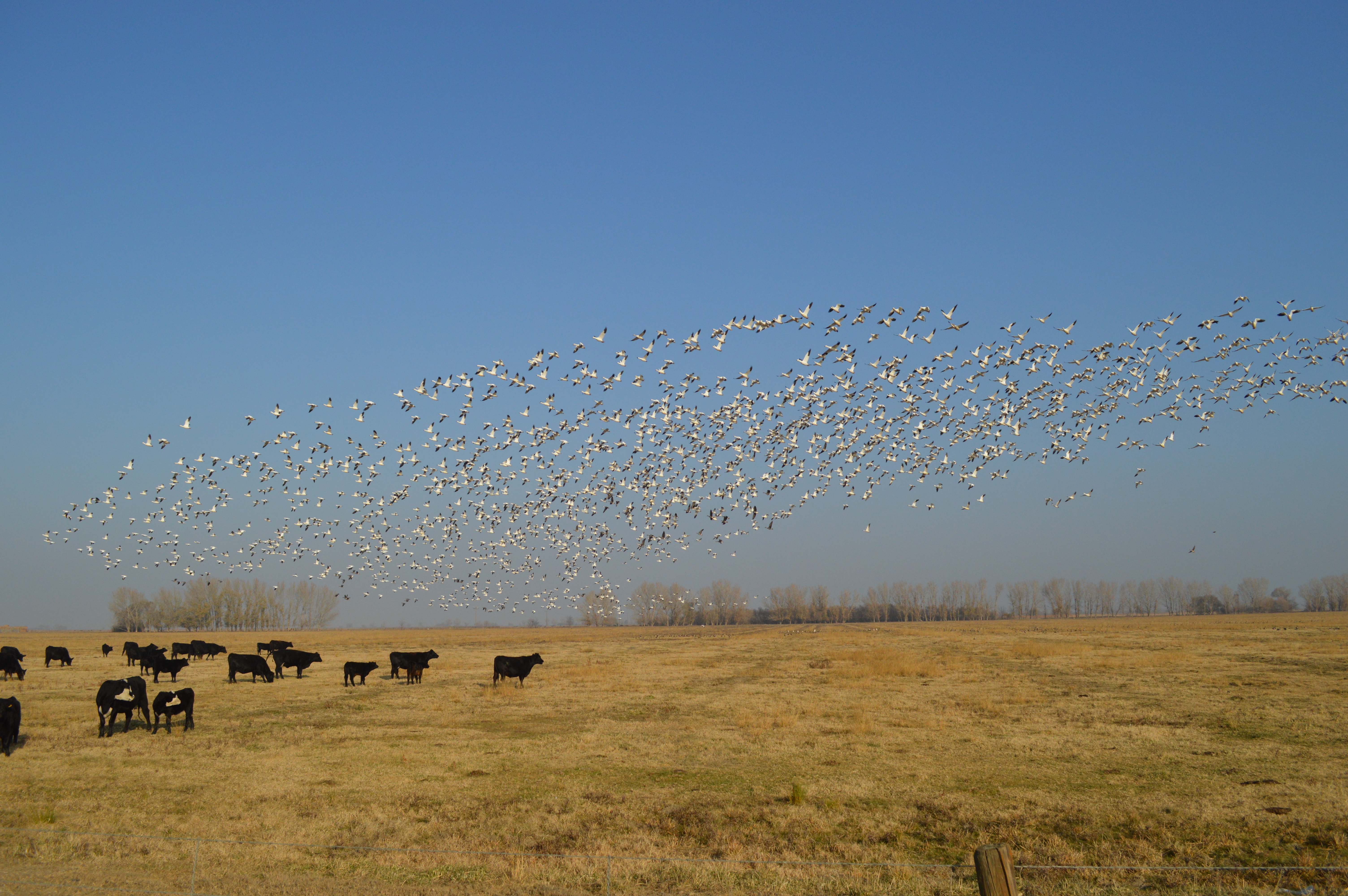
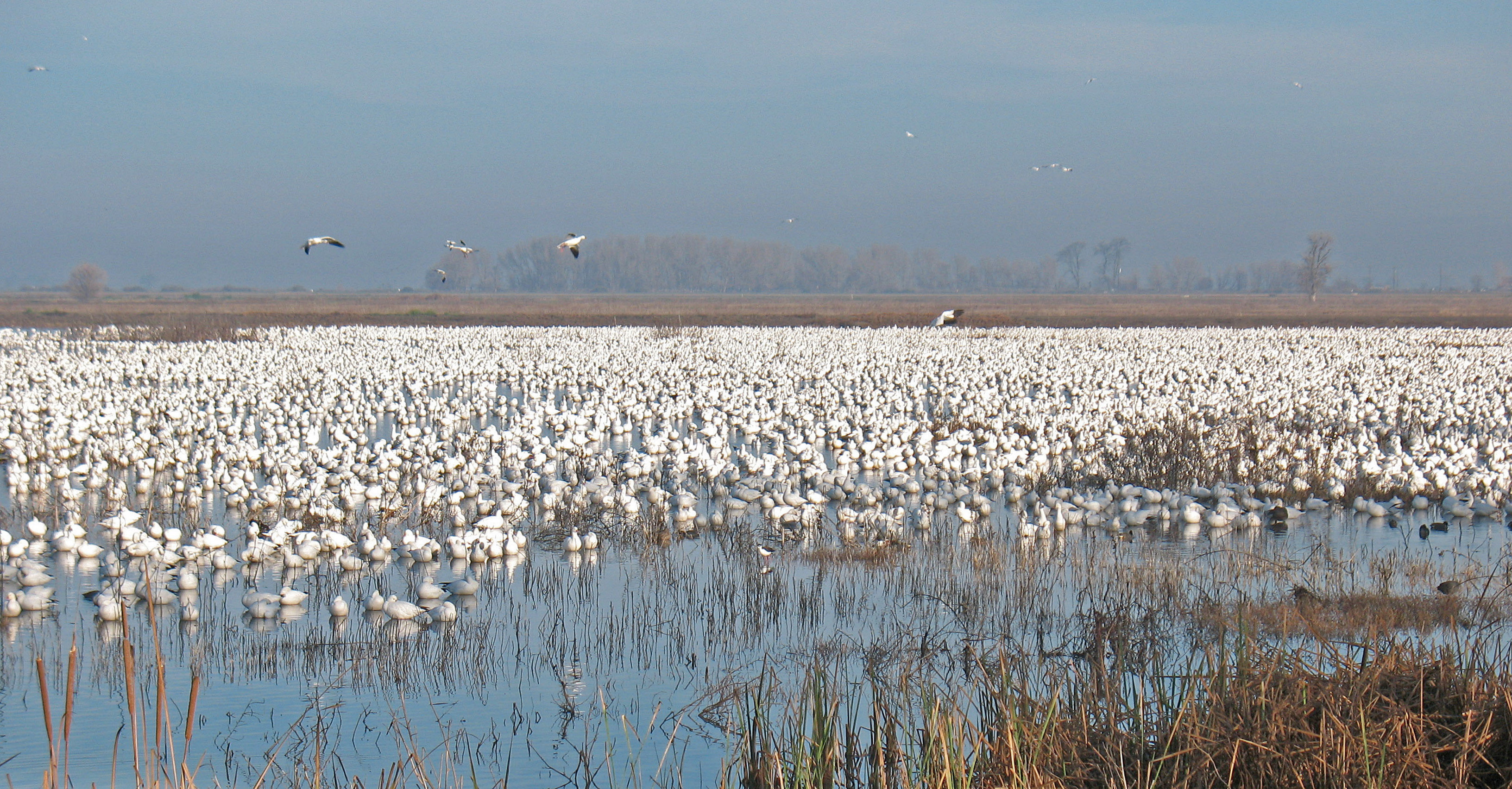
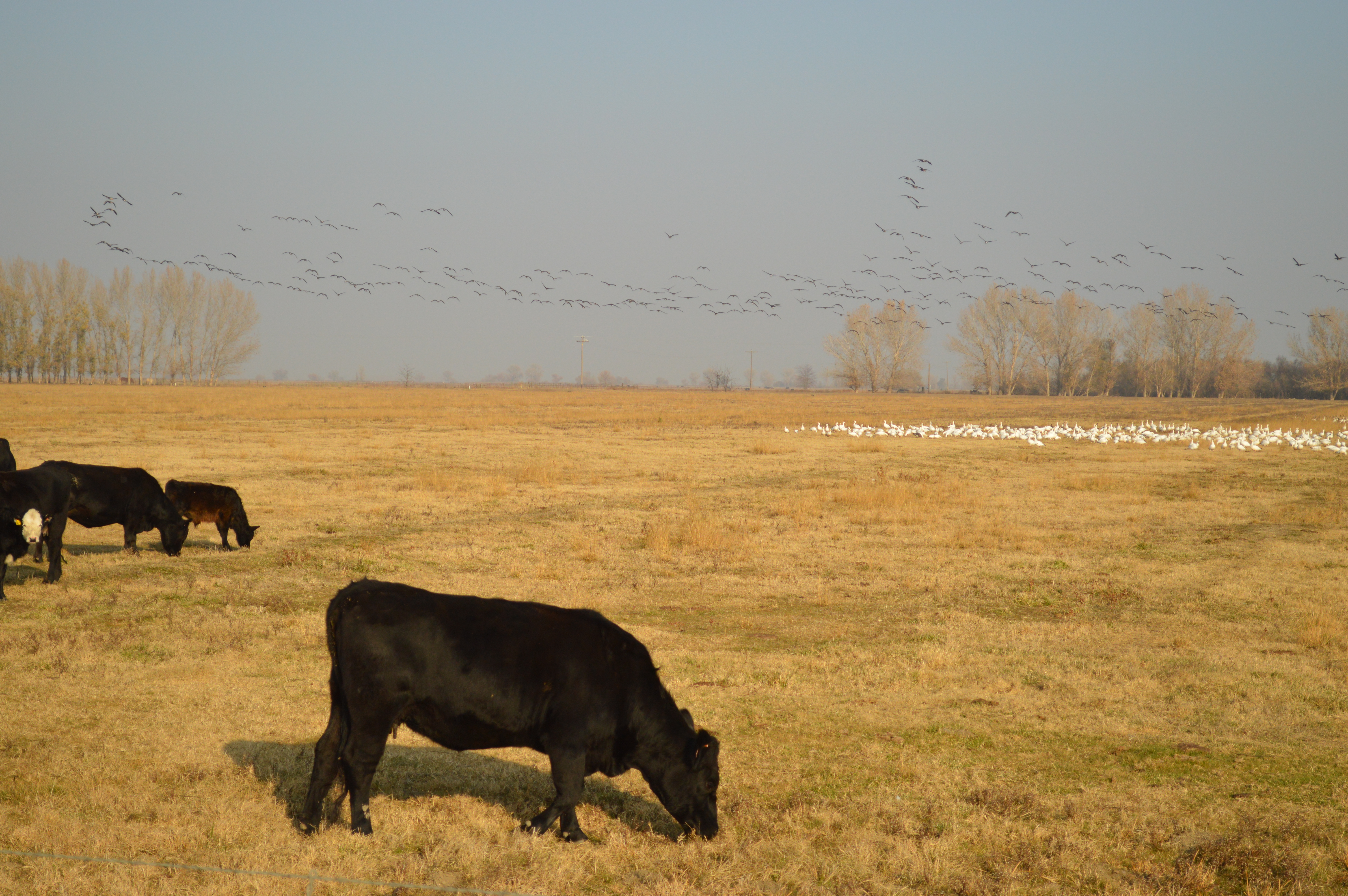
Related Photos:

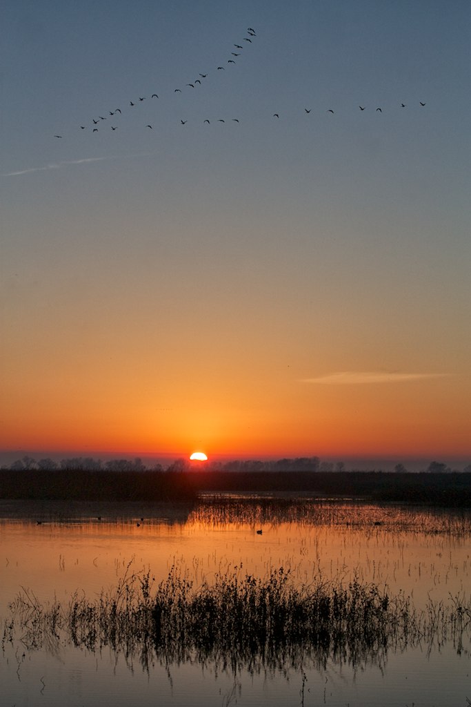
Sunset at Merced National Wildlife Refuge.

Reflections IMG_0252

20151121-201501-49

Red-tailed Hawk
.

My landscape photos
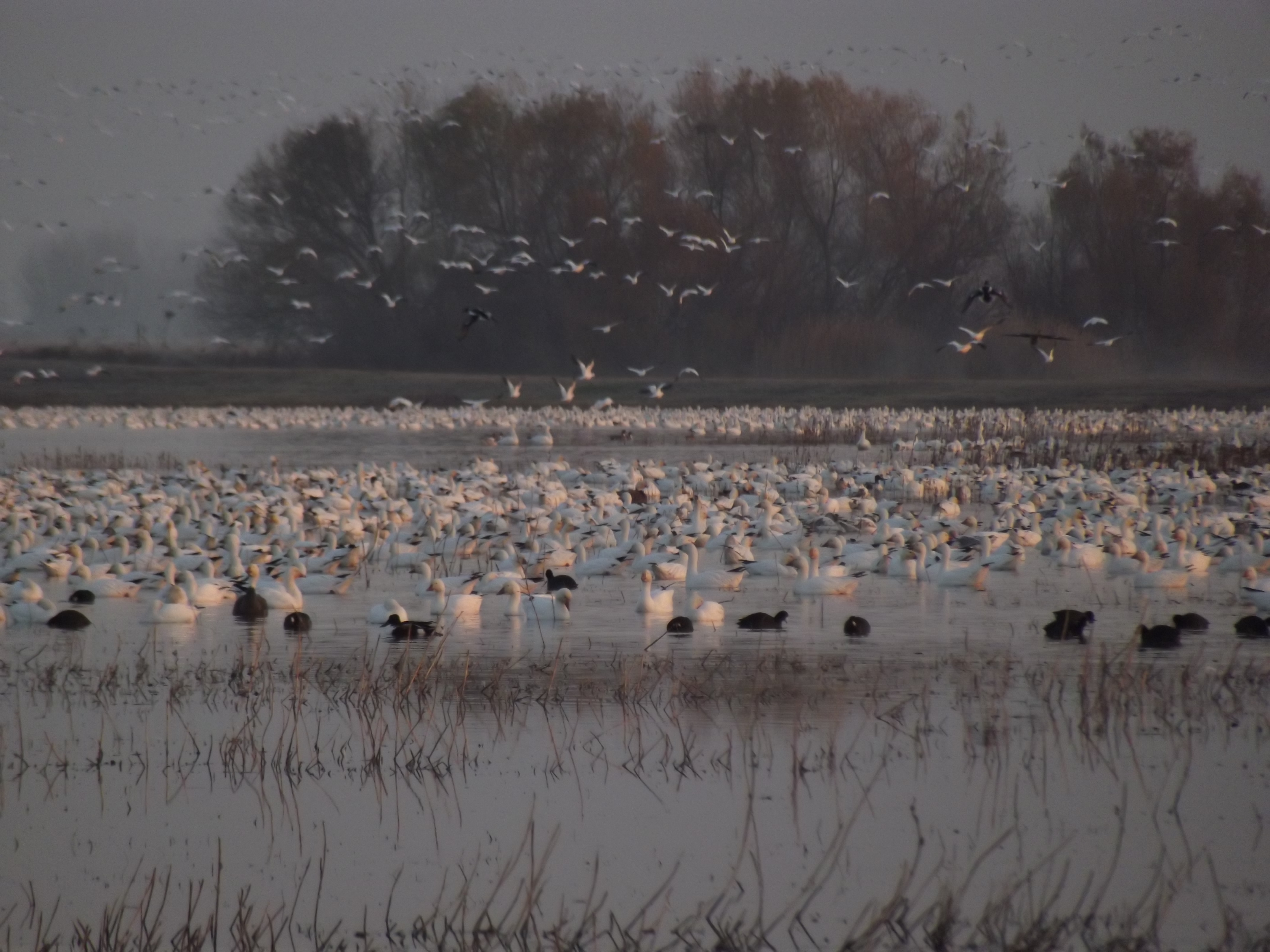
Snow Goose- Chen caerulescens-Anatidae 53
20151121-194050-23
USA 2013
Snow Goose- Chen caerulescens-Anatidae 37
Ross's Geese

Endless fields of cotton, wow! #cotton #california #holidayusa #elbido
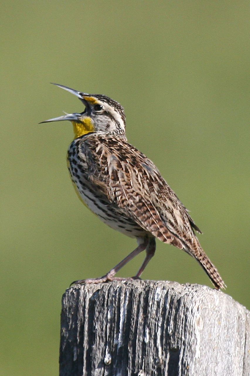
Western Meadowlark in song
Snow Goose-Chen caerulescens and Greater White Fronted Goose 3
20151121-195700-43
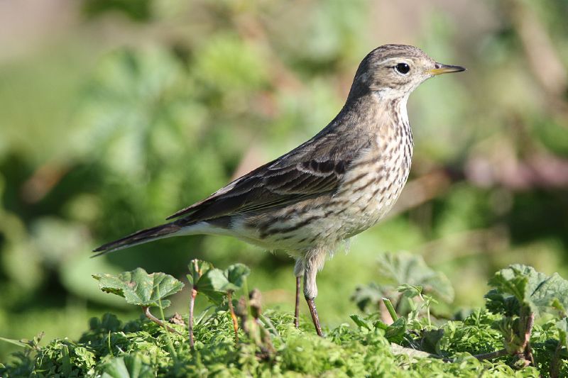
301V7197 American Pipit
My landscape photos

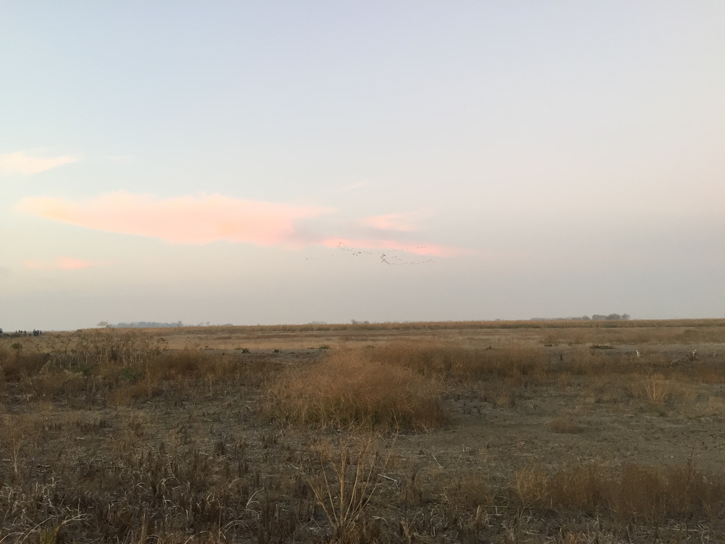
Merced Wildlife Refuge
Dawn Formation IMG_9842

American Bittern

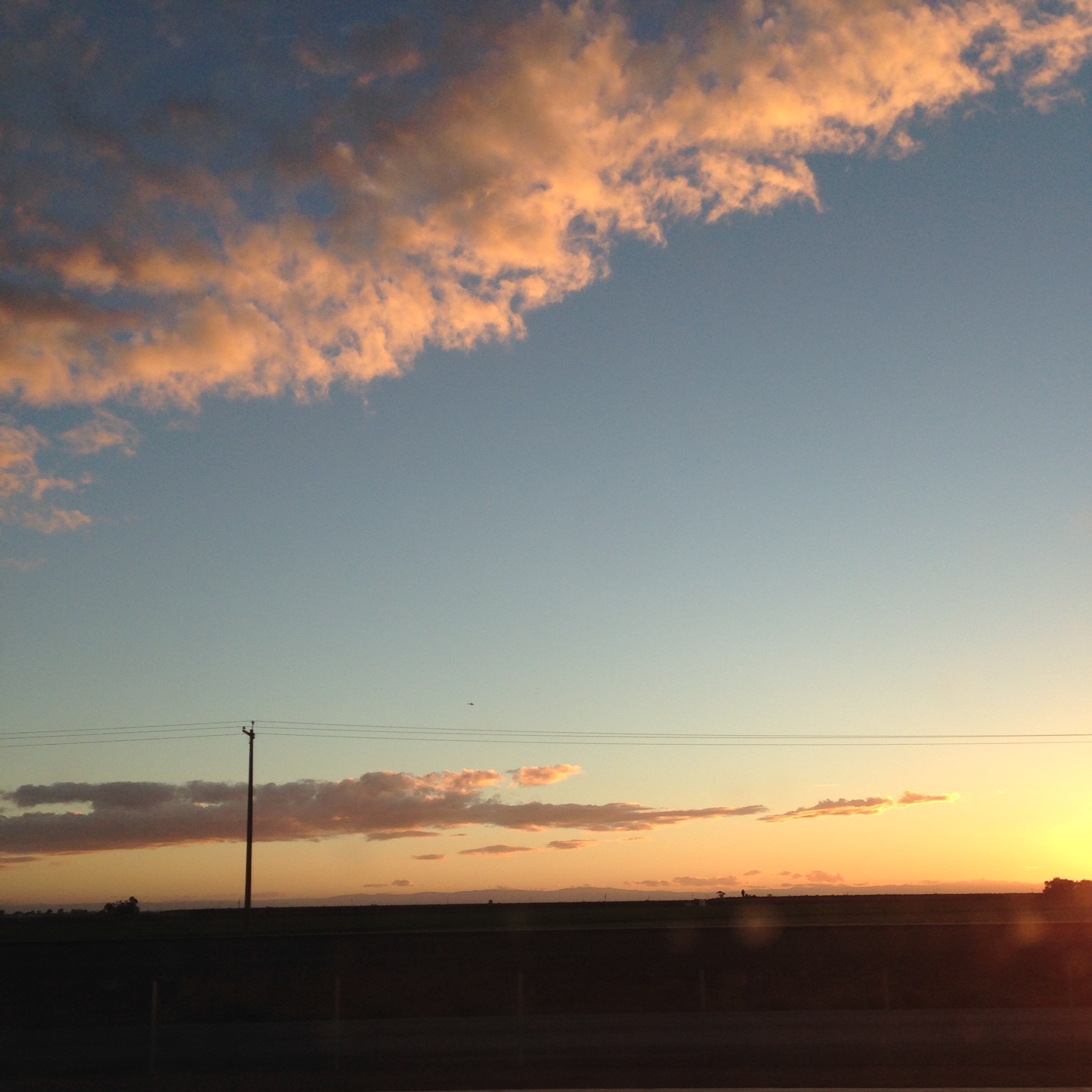
Orange Sunset
Topographic Map of El Nido, CA, USA
Find elevation by address:

Places in El Nido, CA, USA:
Places near El Nido, CA, USA:
58 E El Nido Rd, El Nido, CA, USA
20330 Lincoln Rd
Merced National Wildlife Refuge
Pioneer Rd, Merced, CA, USA
Azusa Ave, Dos Palos, CA, USA
Merced
1140 W Main St
1852 Demoss Ct
1439 N Bear Creek Dr
Nellie St, Merced, CA, USA
1435 Kibby Rd
547 Sonora Ave
Dos Palos
1902 Lynn Ave
4081 Toulon Ct
CA-99, Chowchilla, CA, USA
Ave 18 1/2, Chowchilla, CA, USA
Chowchilla Blvd, Chowchilla, CA, USA
16816 Lexington Ave
9046 Crispi Dr
Recent Searches:
- Elevation of Corso Fratelli Cairoli, 35, Macerata MC, Italy
- Elevation of Tallevast Rd, Sarasota, FL, USA
- Elevation of 4th St E, Sonoma, CA, USA
- Elevation of Black Hollow Rd, Pennsdale, PA, USA
- Elevation of Oakland Ave, Williamsport, PA, USA
- Elevation of Pedrógão Grande, Portugal
- Elevation of Klee Dr, Martinsburg, WV, USA
- Elevation of Via Roma, Pieranica CR, Italy
- Elevation of Tavkvetili Mountain, Georgia
- Elevation of Hartfords Bluff Cir, Mt Pleasant, SC, USA