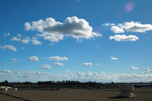
Elevation of Merced, CA, USA
Location: United States > California > Merced County >
Longitude: -120.48296
Latitude: 37.3021632
Elevation: 52m / 171feet
Barometric Pressure: 101KPa
Related Photos:
Topographic Map of Merced, CA, USA
Find elevation by address:

Places in Merced, CA, USA:
Places near Merced, CA, USA:
1140 W Main St
1439 N Bear Creek Dr
1852 Demoss Ct
547 Sonora Ave
4081 Toulon Ct
Nellie St, Merced, CA, USA
1435 Kibby Rd
5368 N State Hwy 59
Pioneer Rd, Merced, CA, USA
N Buhach Rd, Atwater, CA, USA
Third St, Atwater, CA, USA
Atwater
Winton, CA, USA
1540 Spruce Ave
San Joaquin River
Amsterdam
Oakdale Rd, Winton, CA, USA
Eucalyptus Ave, Winton, CA, USA
Winton
9046 Crispi Dr
Recent Searches:
- Elevation of Corso Fratelli Cairoli, 35, Macerata MC, Italy
- Elevation of Tallevast Rd, Sarasota, FL, USA
- Elevation of 4th St E, Sonoma, CA, USA
- Elevation of Black Hollow Rd, Pennsdale, PA, USA
- Elevation of Oakland Ave, Williamsport, PA, USA
- Elevation of Pedrógão Grande, Portugal
- Elevation of Klee Dr, Martinsburg, WV, USA
- Elevation of Via Roma, Pieranica CR, Italy
- Elevation of Tavkvetili Mountain, Georgia
- Elevation of Hartfords Bluff Cir, Mt Pleasant, SC, USA
