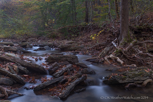
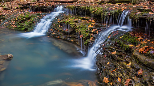
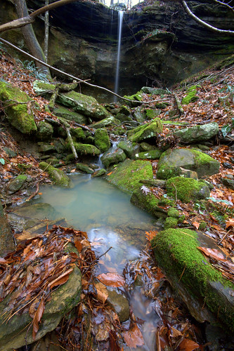
Elevation of Johnson County, AR, USA
Location: United States > Arkansas >
Longitude: -93.500345
Latitude: 35.6026275
Elevation: 293m / 961feet
Barometric Pressure: 98KPa
Related Photos:
Topographic Map of Johnson County, AR, USA
Find elevation by address:

Places in Johnson County, AR, USA:
Sherman Township
Spadra Township
Perry Township
Pittsburg Township
Prairie Township
Dickerson-hill Township
Red Lick Township
Hickey Township
Grant Township
Howell Township
Horsehead Township
Ward Township
Mckennon Township
Batson Township
Mulberry Township
Stonewall Township
Mount Zion
Places near Johnson County, AR, USA:
Co Rd, Ozone, AR, USA
Mount Zion
Ozone
AR-21, Ozone, AR, USA
Red Lick Township
Mulberry Township
Sherman Township
Co Rd, Ozone, AR, USA
State Hwy, Clarksville, AR, USA
Co Rd, Ozone, AR, USA
Co Rd, Ozone, AR, USA
18626 Ar-21
Oark
AR-21, Clarksville, AR, USA
Horsehead Township
Spadra Township
Co Rd, Clarksville, AR, USA
19984 Ar-21
University Of The Ozarks
County Road 4160
Recent Searches:
- Elevation of Corso Fratelli Cairoli, 35, Macerata MC, Italy
- Elevation of Tallevast Rd, Sarasota, FL, USA
- Elevation of 4th St E, Sonoma, CA, USA
- Elevation of Black Hollow Rd, Pennsdale, PA, USA
- Elevation of Oakland Ave, Williamsport, PA, USA
- Elevation of Pedrógão Grande, Portugal
- Elevation of Klee Dr, Martinsburg, WV, USA
- Elevation of Via Roma, Pieranica CR, Italy
- Elevation of Tavkvetili Mountain, Georgia
- Elevation of Hartfords Bluff Cir, Mt Pleasant, SC, USA
