Elevation of Sherman Township, AR, USA
Location: United States > Arkansas > Johnson County >
Longitude: -93.439738
Latitude: 35.6698907
Elevation: 443m / 1453feet
Barometric Pressure: 96KPa
Elevation Map:
Satellite Map:
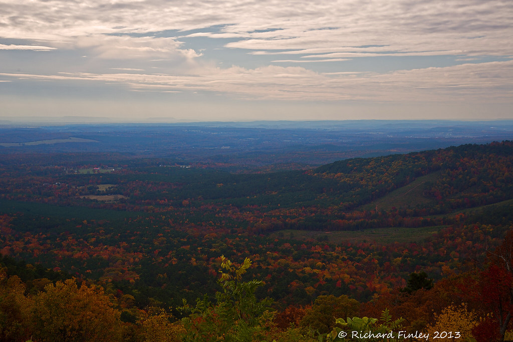
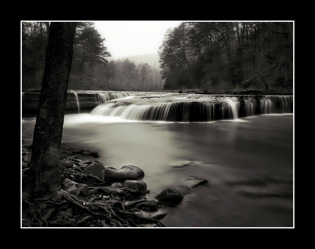
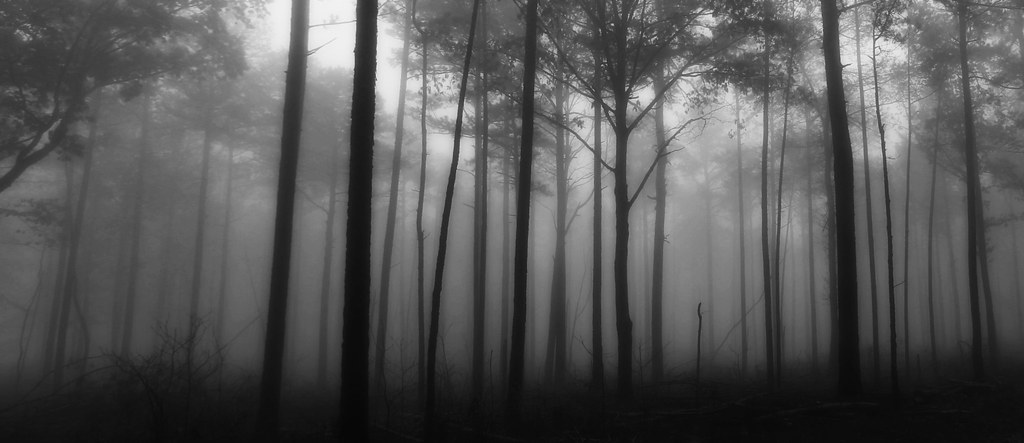
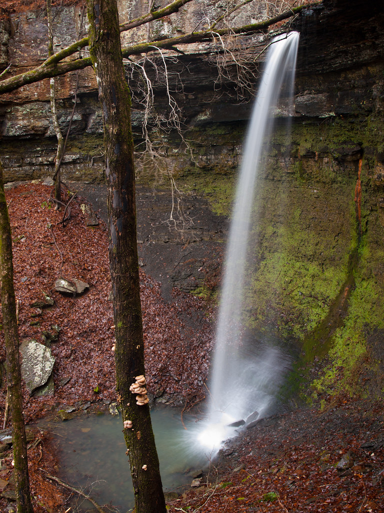
Related Photos:
Ozarks Fall
Haw Creek Falls
Out Waterfallin'
Hwy. 123 Falls

Hole in the Rock Falls (Zadock Historical)

Hole in the Rock Falls
We're conditioned to believe that we're missing out on something.
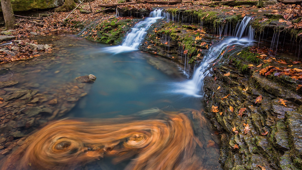
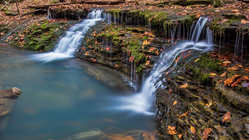
Double Waterfall with a double leaf swirly on an unnamed creek somewhere in the Ozarks
Highway 123 Falls
Highway 123 Falls

Creek under Highway 103
Unnamed falls on an unnamed creek
High Bank Twins creek
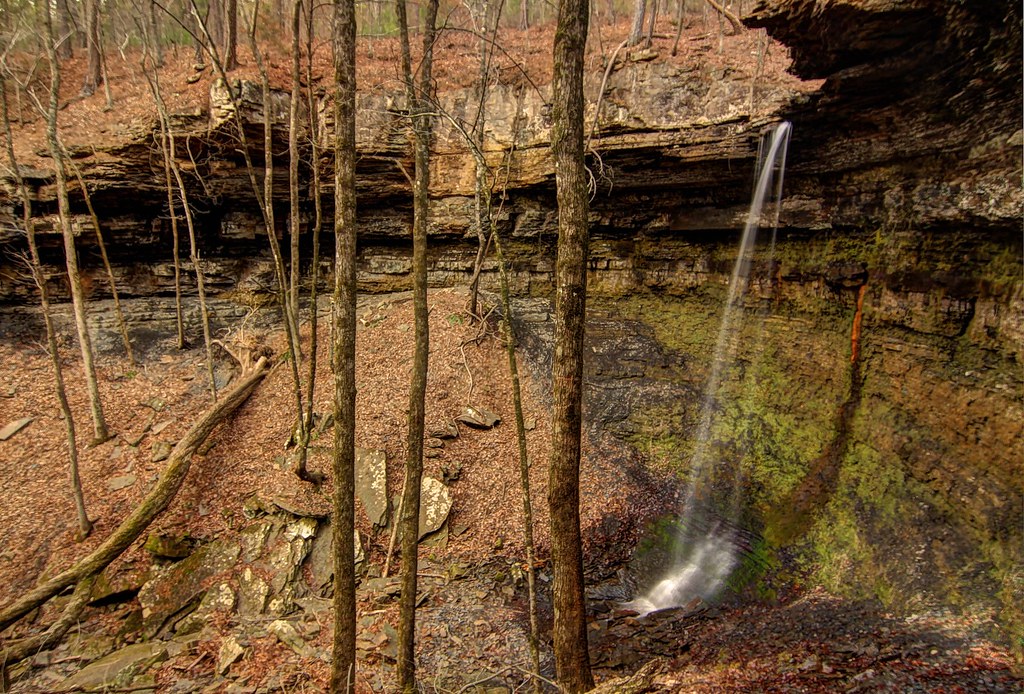
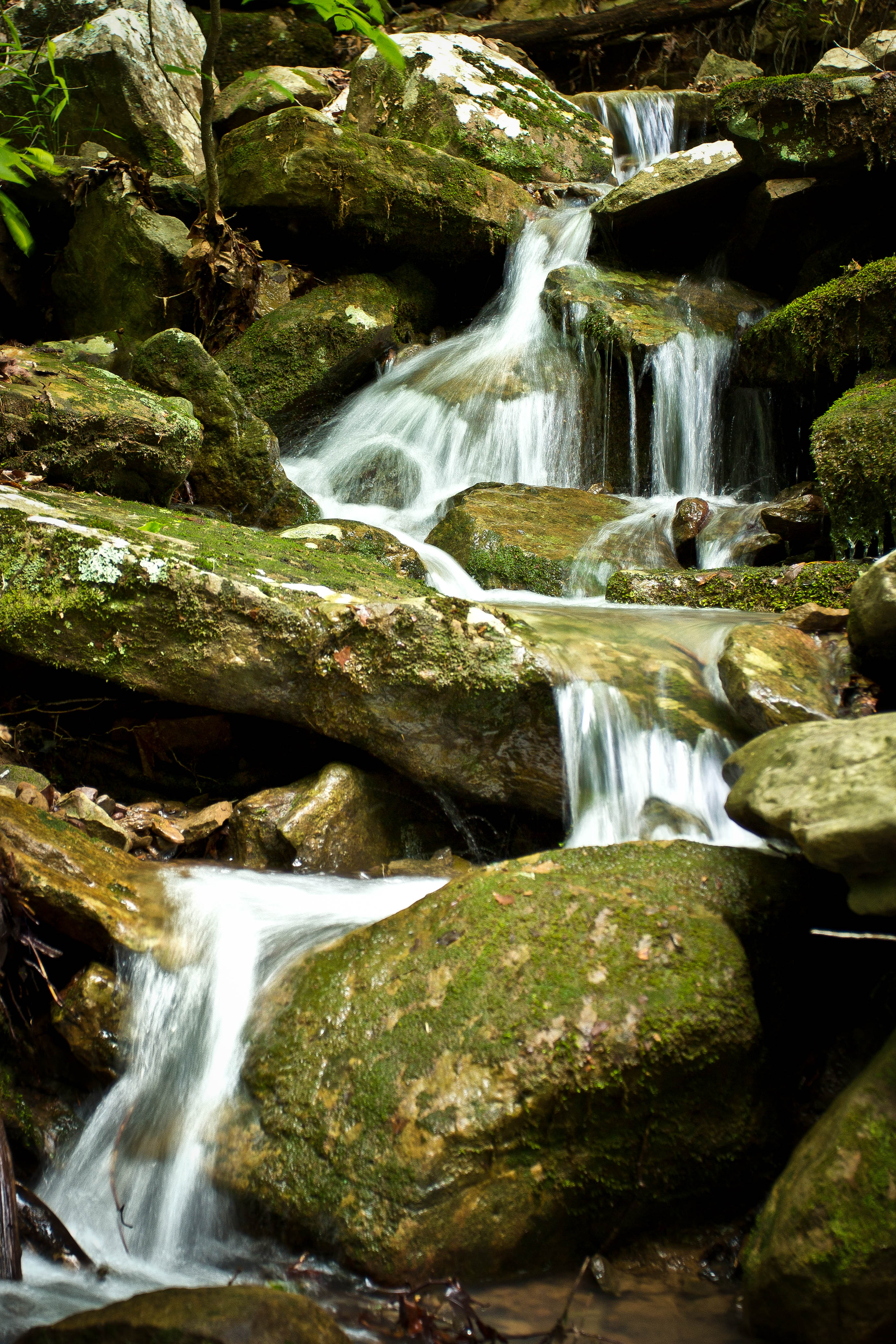
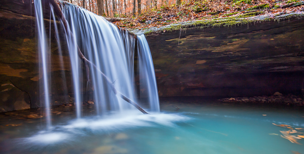
Unnamed Falls {Grotto Falls}
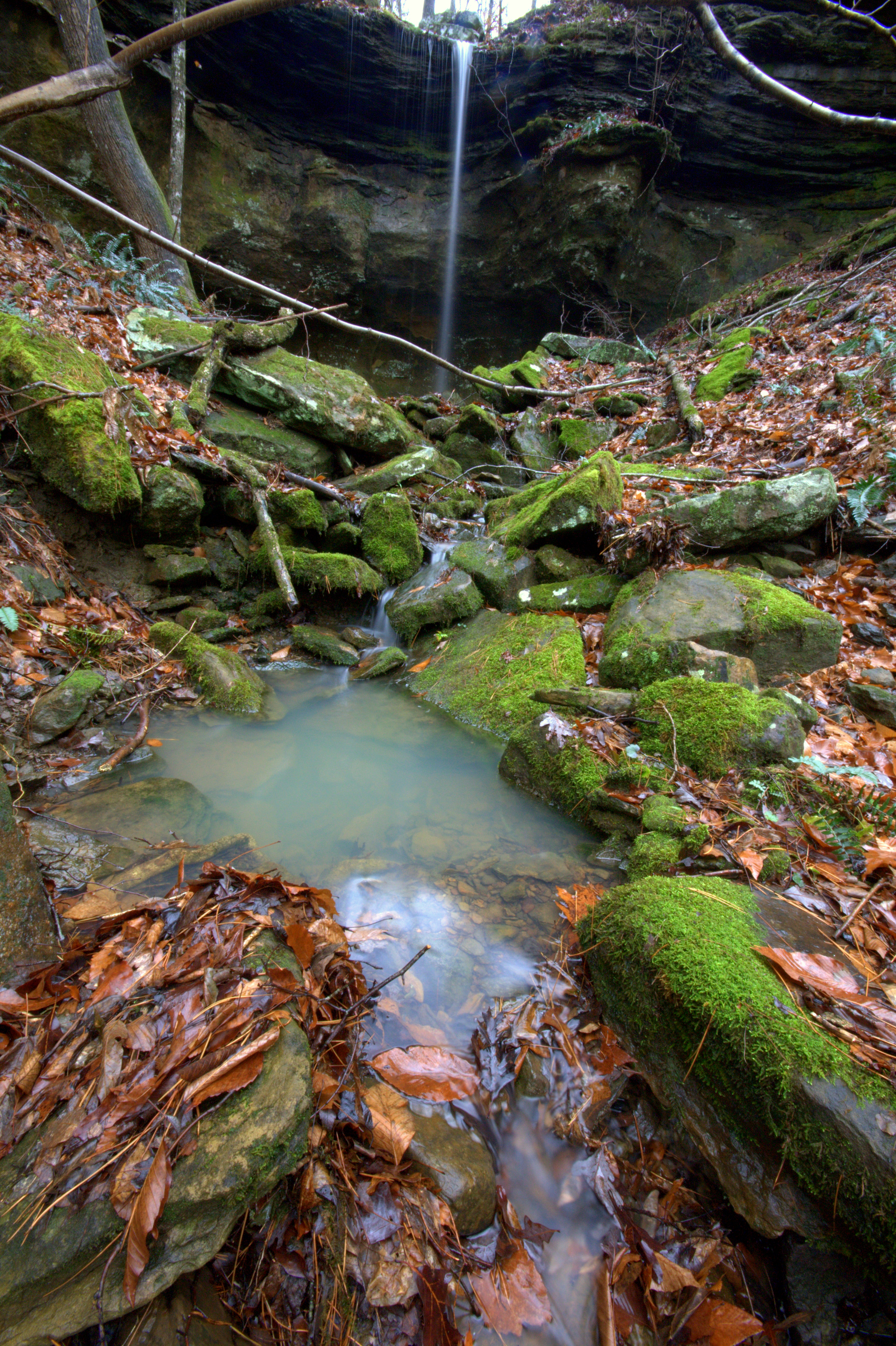
Unnamed Falls {Slippery Cascade}

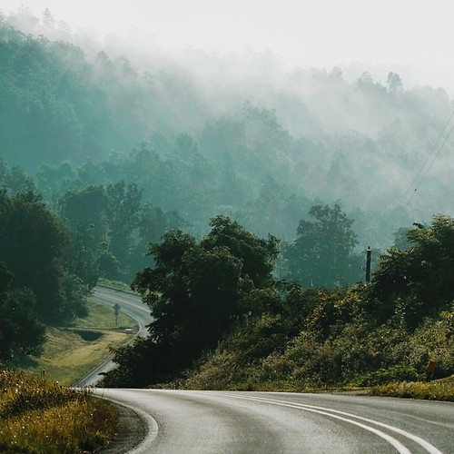
Trees in fog & snow
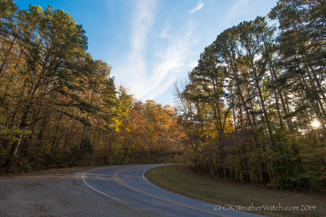
Highway 103
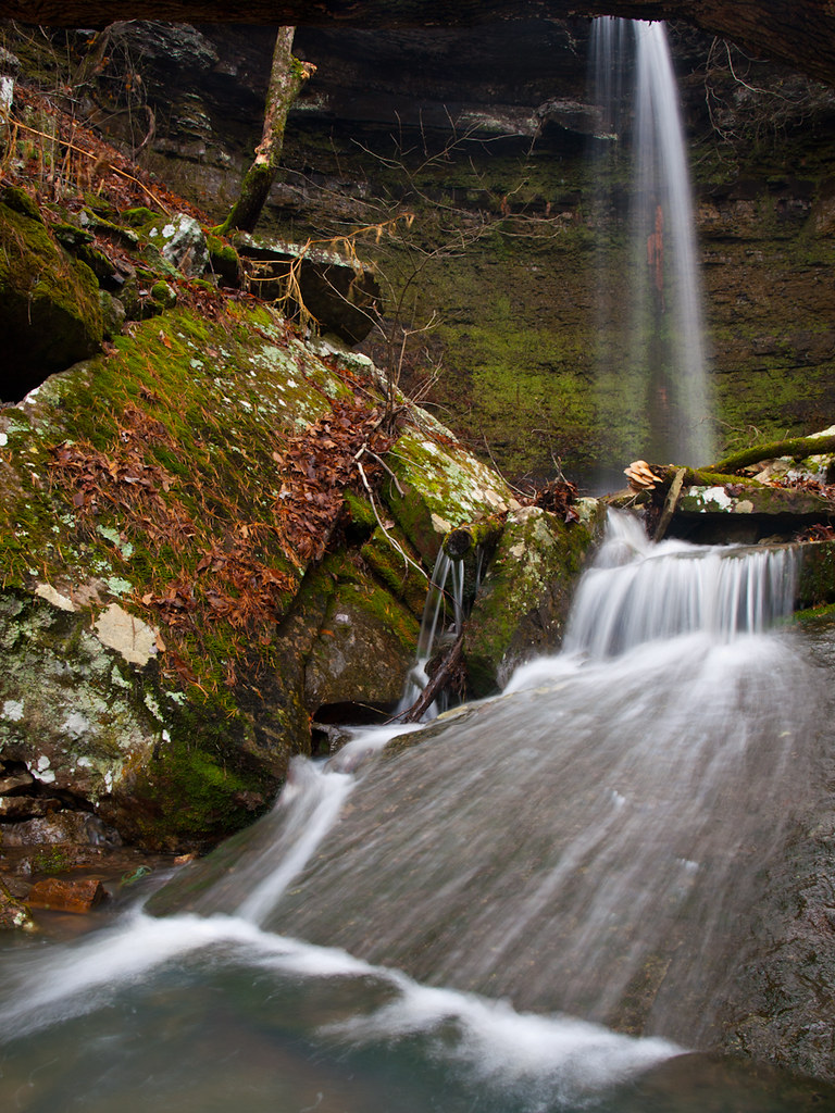
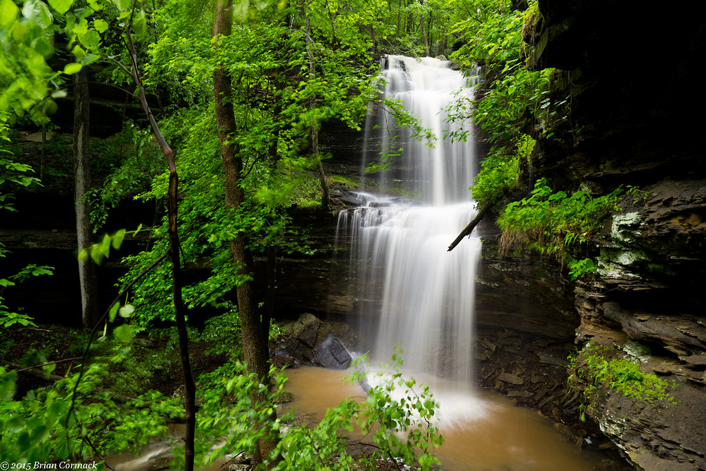
Short Grotto Falls
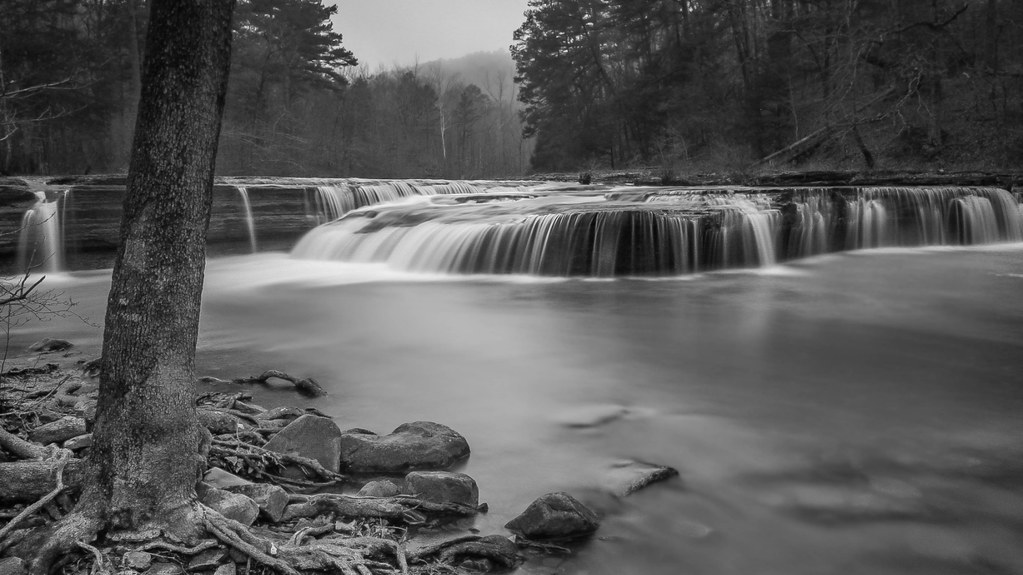
Haw Creek Falls
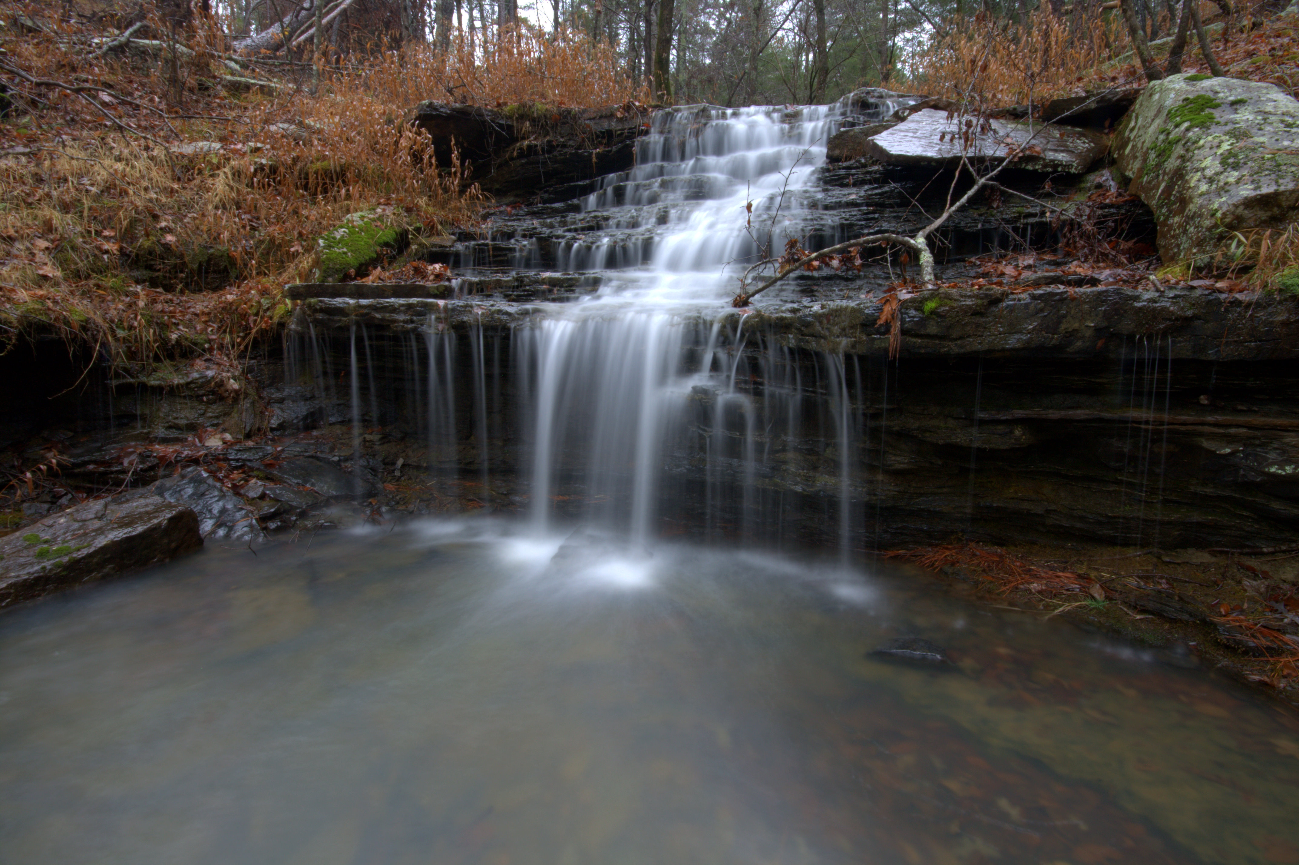
Acord Hollow Falls

Acord Hollow
Topographic Map of Sherman Township, AR, USA
Find elevation by address:

Places in Sherman Township, AR, USA:
Places near Sherman Township, AR, USA:
18626 Ar-21
AR-21, Ozone, AR, USA
Ozone
Co Rd, Ozone, AR, USA
Co Rd, Ozone, AR, USA
Co Rd, Ozone, AR, USA
19984 Ar-21
21923 Ar-21
AR-21, Ozone, AR, USA
Co Rd, Hagarville, AR, USA
Co Rd, Ozone, AR, USA
Johnson County
Mulberry Township
Red Lick Township
Co Rd, Hagarville, AR, USA
Boston Mountains
Fallsville
Mount Zion
State Hwy, Clarksville, AR, USA
Oark
Recent Searches:
- Elevation of Unnamed Road, Respublika Severnaya Osetiya — Alaniya, Russia
- Elevation of Verkhny Fiagdon, North Ossetia–Alania Republic, Russia
- Elevation of F. Viola Hiway, San Rafael, Bulacan, Philippines
- Elevation of Herbage Dr, Gulfport, MS, USA
- Elevation of Lilac Cir, Haldimand, ON N3W 2G9, Canada
- Elevation of Harrod Branch Road, Harrod Branch Rd, Kentucky, USA
- Elevation of Wyndham Grand Barbados Sam Lords Castle All Inclusive Resort, End of Belair Road, Long Bay, Bridgetown Barbados
- Elevation of Iga Trl, Maggie Valley, NC, USA
- Elevation of N Co Rd 31D, Loveland, CO, USA
- Elevation of Lindever Ln, Palmetto, FL, USA