Elevation of Ward Township, AR, USA
Location: United States > Arkansas > Johnson County >
Longitude: -93.611649
Latitude: 35.4353214
Elevation: 135m / 443feet
Barometric Pressure: 100KPa
Elevation Map:
Satellite Map:
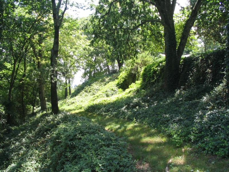
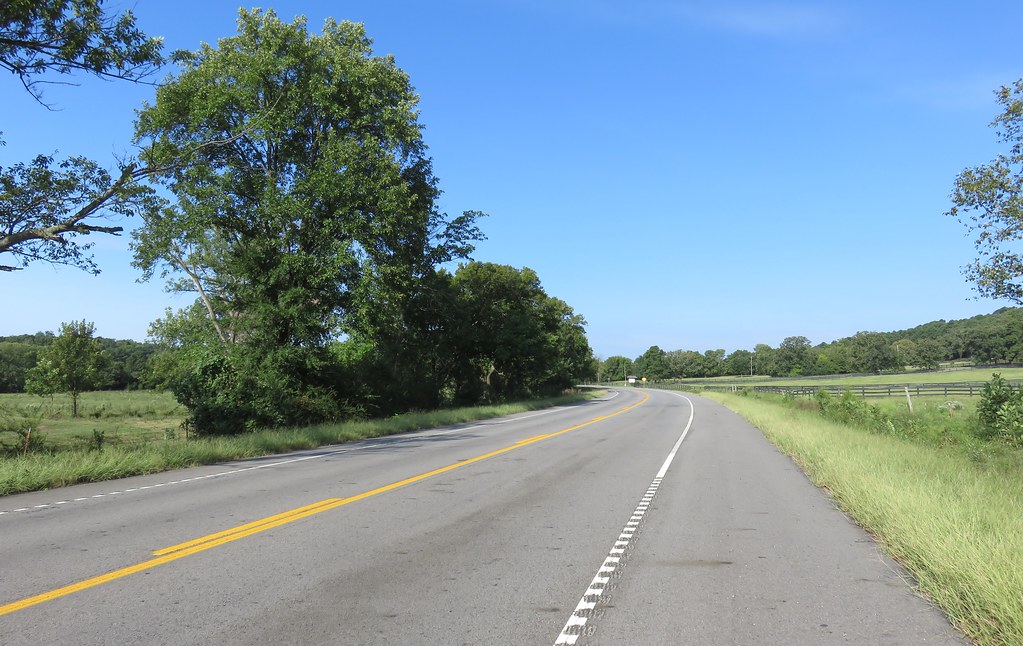
Related Photos:

A moment in the golden hour
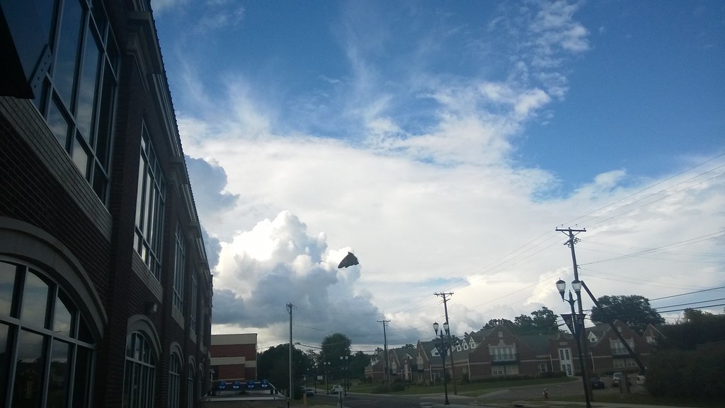
North Street view
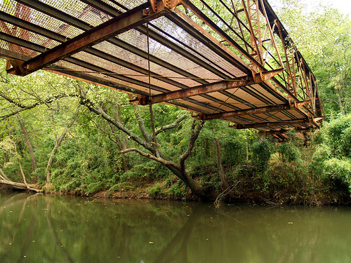
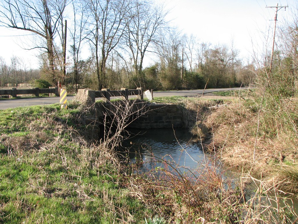
Spadra Creek

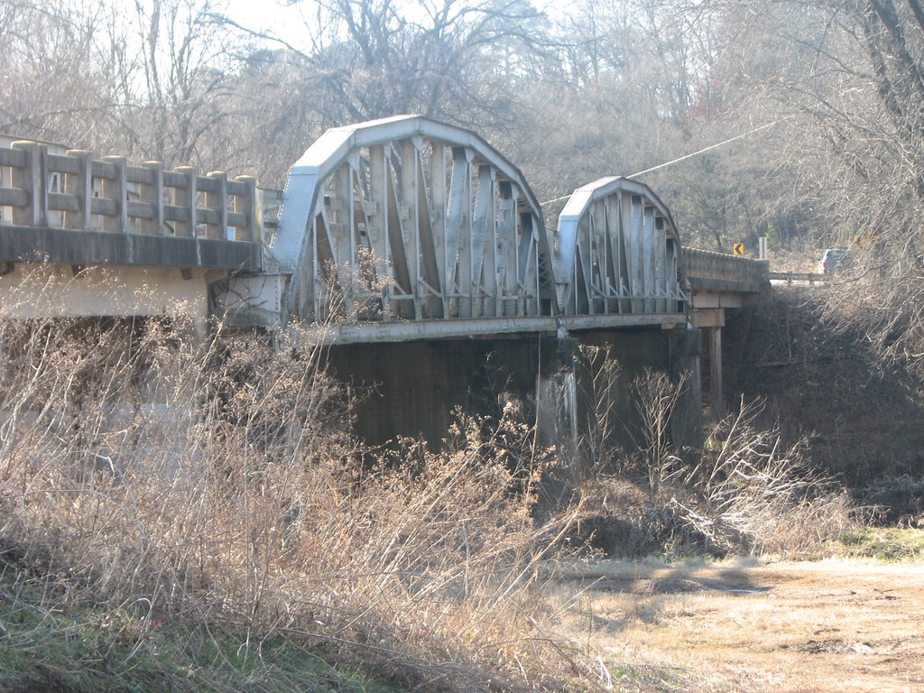
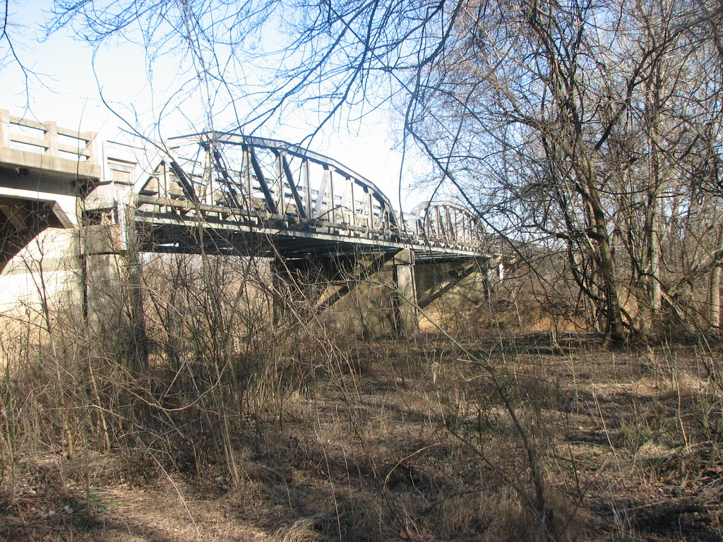
Mystery Bridge-Deck View

view from my room
US 64-Horsehead Creek Side View-Close
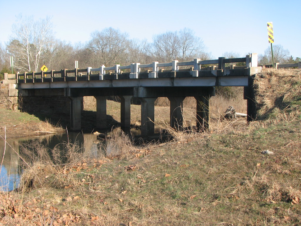
Side View-Horsehead Creek
US 64-Horsehead Creek-Side View
Kalamazoo Rd- Side View
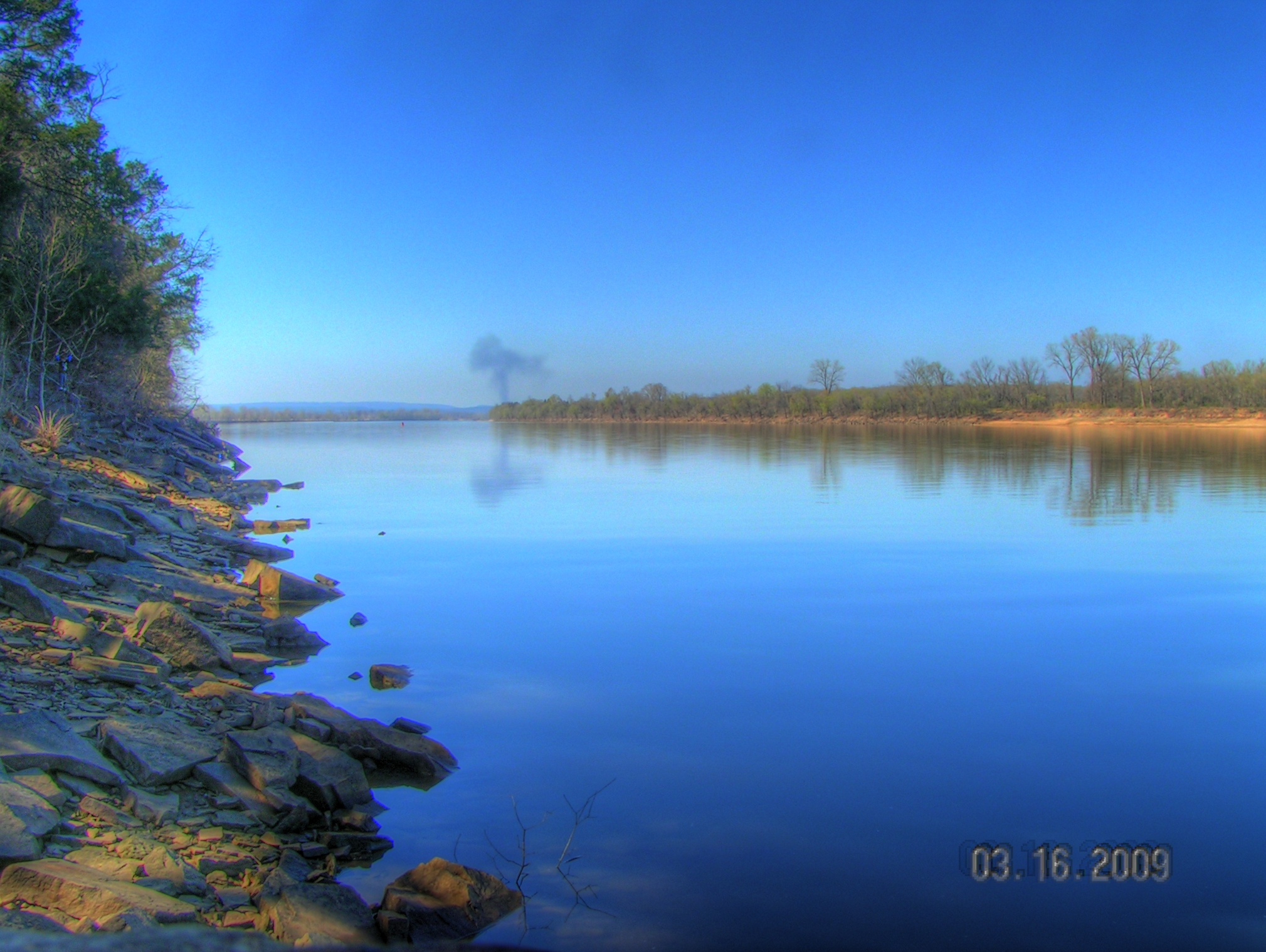
Arkansas River at Roseville

20151007_184203_Richtone(HDR)
St. Mary's Catholic Church
no reason to sigh
Arkansas River Valley Landscape (Johnson County, Arkansas)
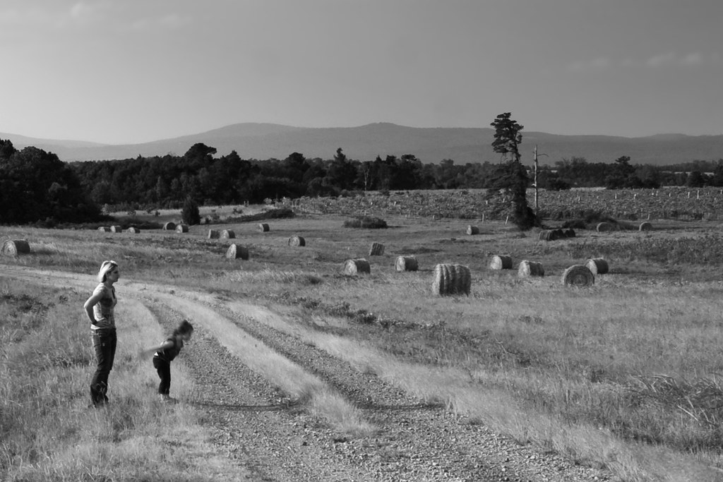
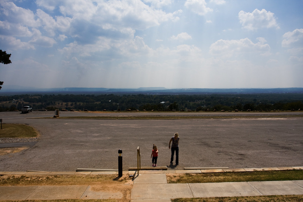
Surveying Wine Country
Topographic Map of Ward Township, AR, USA
Find elevation by address:

Places in Ward Township, AR, USA:
Places near Ward Township, AR, USA:
Hartman
Burlison St, Hartman, AR, USA
County Road 2260
Co Rd, Hartman, AR, USA
Prairie Township
US-64, Coal Hill, AR, USA
Grant Township
Coal Hill
Co Rd, Hartman, AR, USA
4473 Cottontown Rd
Co Rd, Clarksville, AR, USA
1314 Co Rd 3020
River Township
AR-, Scranton, AR, USA
Scranton
Alix Township
8537 Us-64
Parks Rd, Scranton, AR, USA
E Church St, Altus, AR, USA
1700 St Marys Mountain Rd
Recent Searches:
- Elevation of Bilohirs'k
- Elevation of 30 Oak Lawn Dr, Barkhamsted, CT, USA
- Elevation of Luther Road, Luther Rd, Auburn, CA, USA
- Elevation of Unnamed Road, Respublika Severnaya Osetiya — Alaniya, Russia
- Elevation of Verkhny Fiagdon, North Ossetia–Alania Republic, Russia
- Elevation of F. Viola Hiway, San Rafael, Bulacan, Philippines
- Elevation of Herbage Dr, Gulfport, MS, USA
- Elevation of Lilac Cir, Haldimand, ON N3W 2G9, Canada
- Elevation of Harrod Branch Road, Harrod Branch Rd, Kentucky, USA
- Elevation of Wyndham Grand Barbados Sam Lords Castle All Inclusive Resort, End of Belair Road, Long Bay, Bridgetown Barbados