Elevation of Co Rd, Ozone, AR, USA
Location: United States > Arkansas > Johnson County > Sherman Township > Ozone >
Longitude: -93.526377
Latitude: 35.691338
Elevation: 331m / 1086feet
Barometric Pressure: 97KPa
Elevation Map:
Satellite Map:
Related Photos:
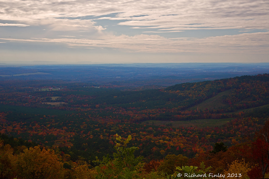
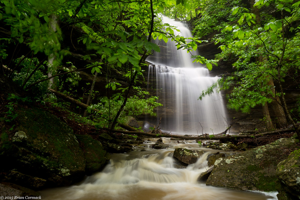
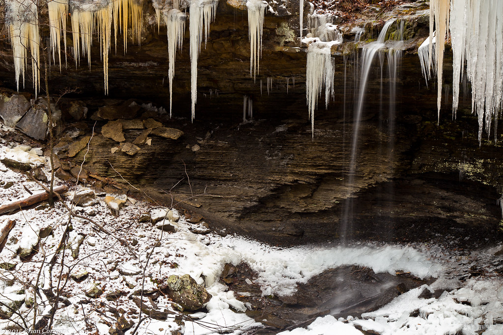
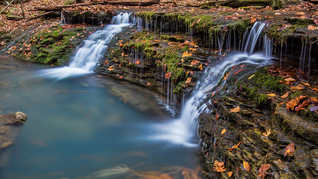
Ozarks Fall
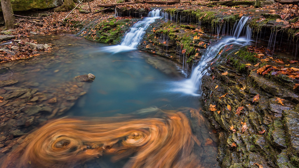
Double Waterfall with a double leaf swirly on an unnamed creek somewhere in the Ozarks

Blue over green
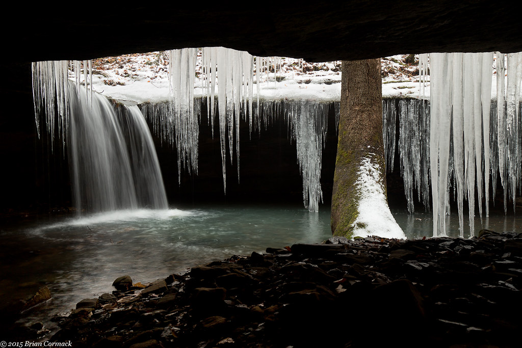
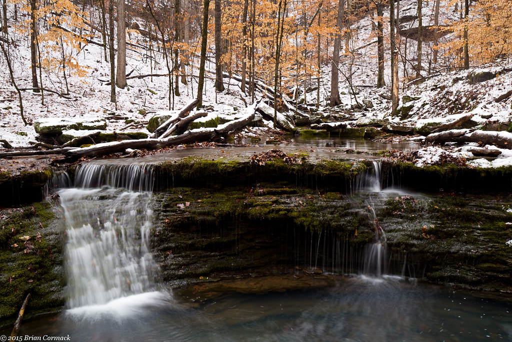
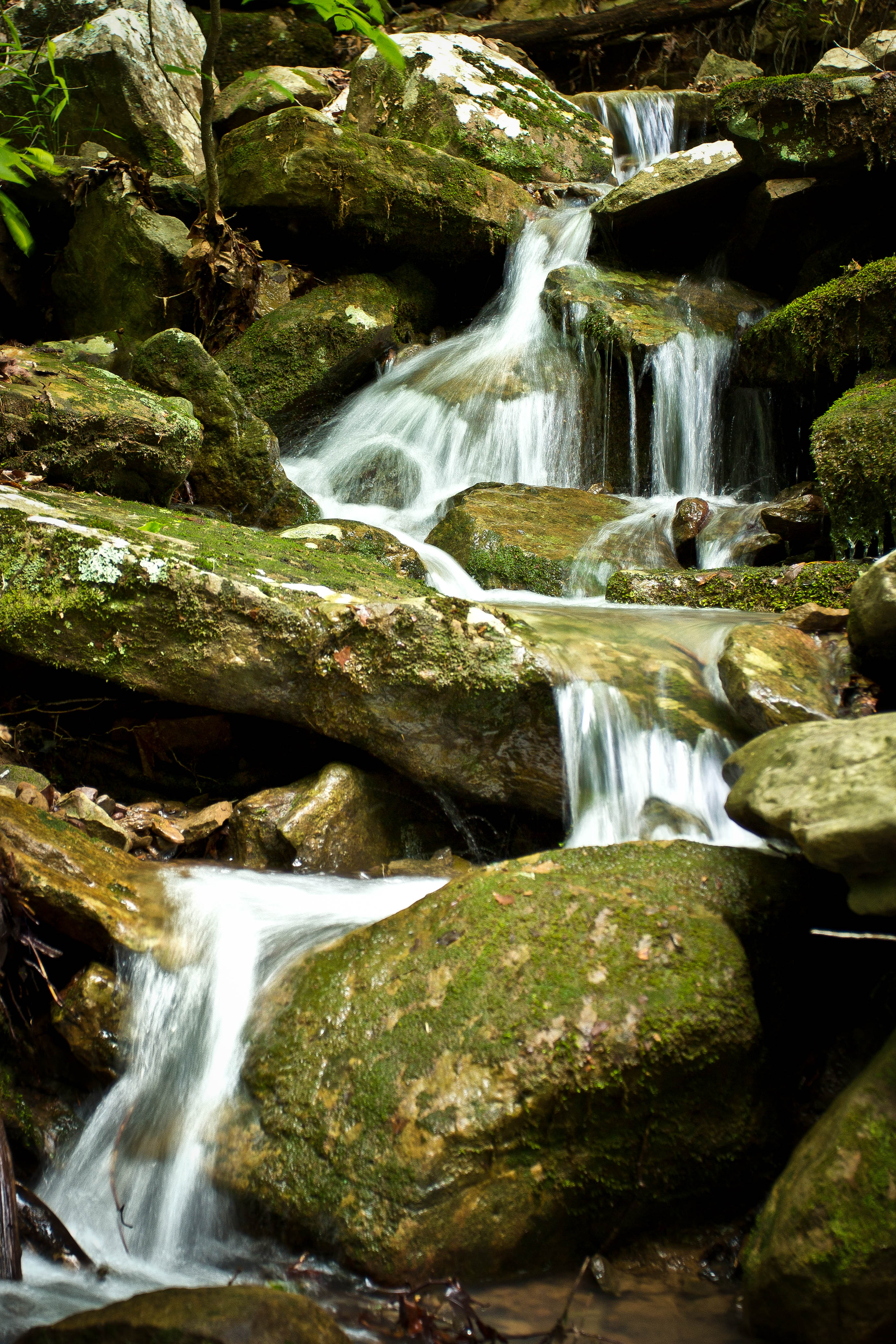
Acord Hollow Falls

Acord Hollow
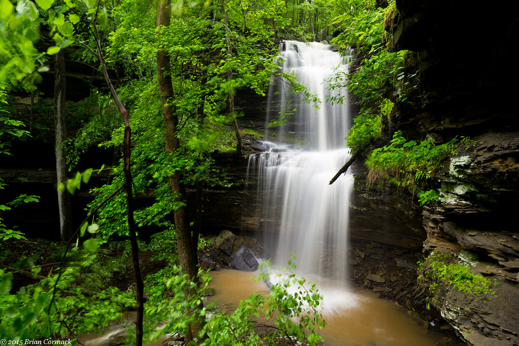
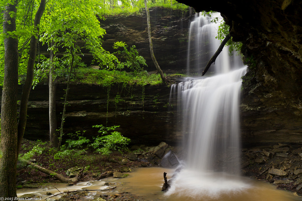
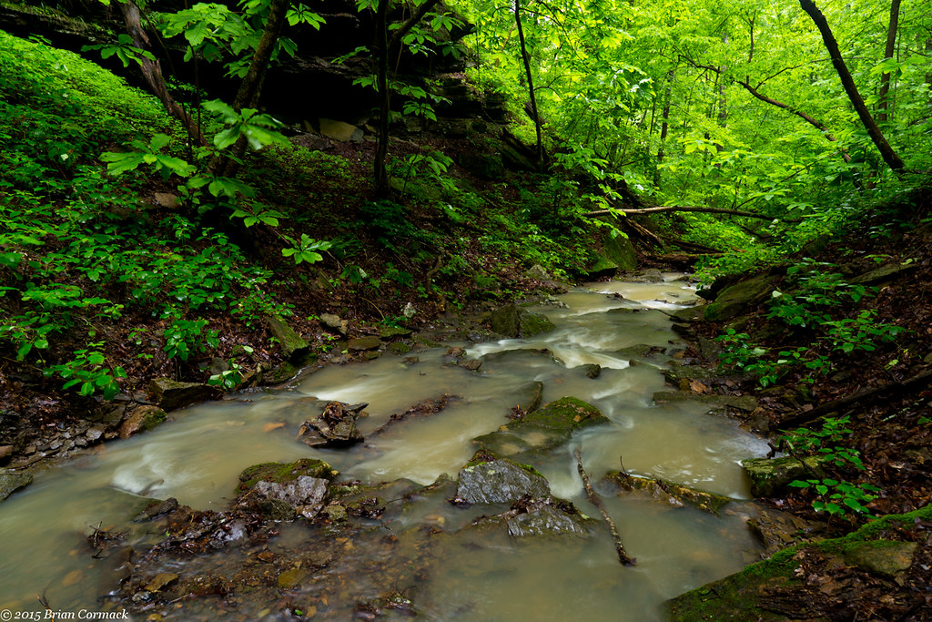
Short Grotto Falls
Acord Hollow Falls
Acord Hollow Falls
Short Grotto Falls
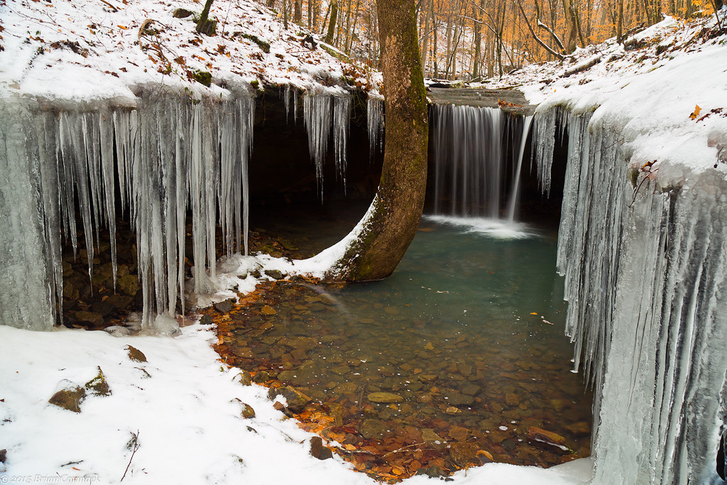
Amy Falls
Amy Falls
Slip and Slide
Acord Hollow
Amy Falls
We're conditioned to believe that we're missing out on something.
Unnamed falls on an unnamed creek

Creek under Highway 103
High Bank Twins creek
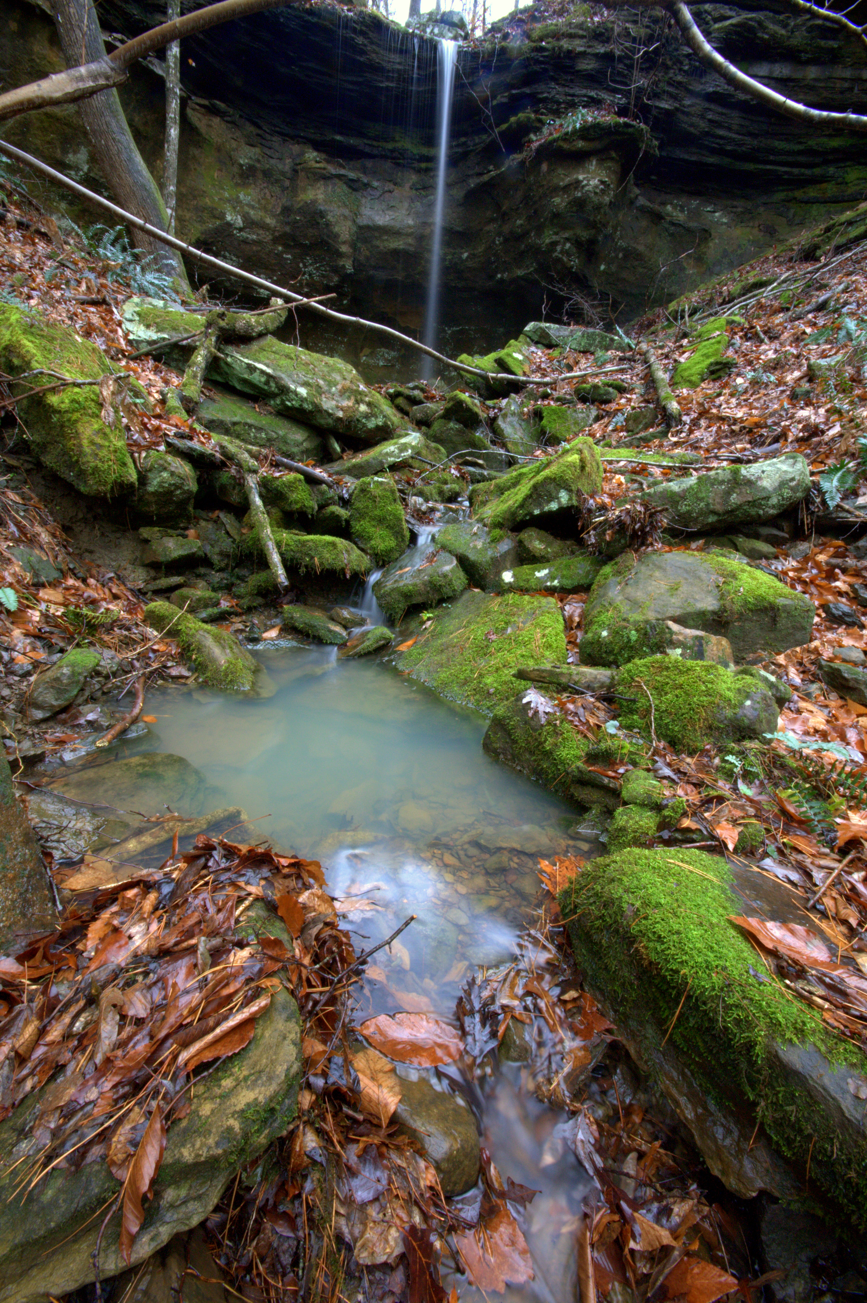
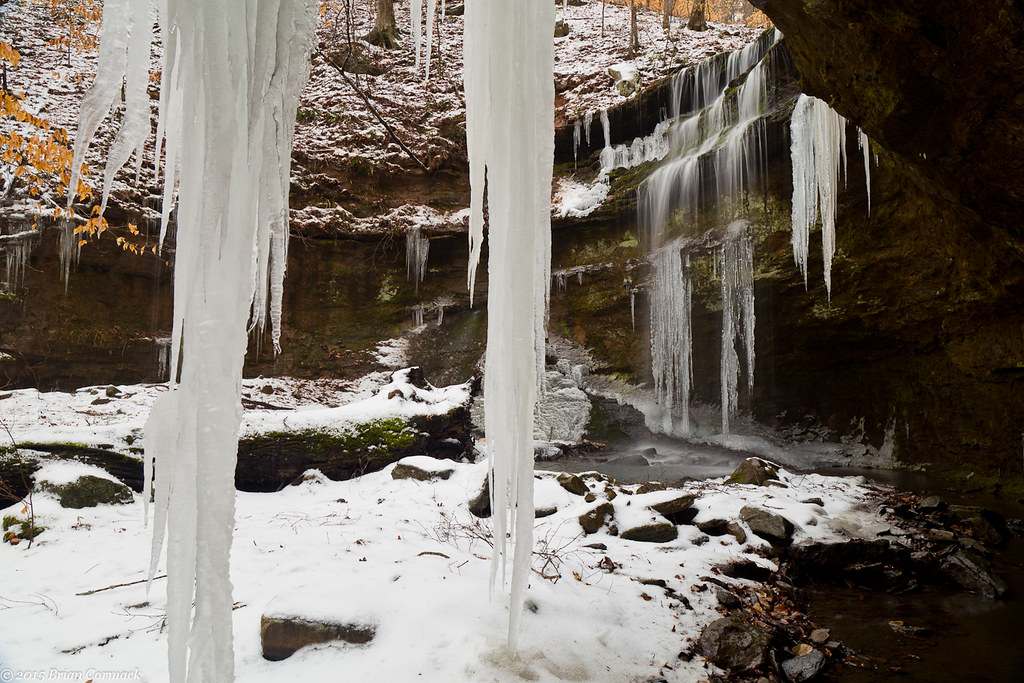
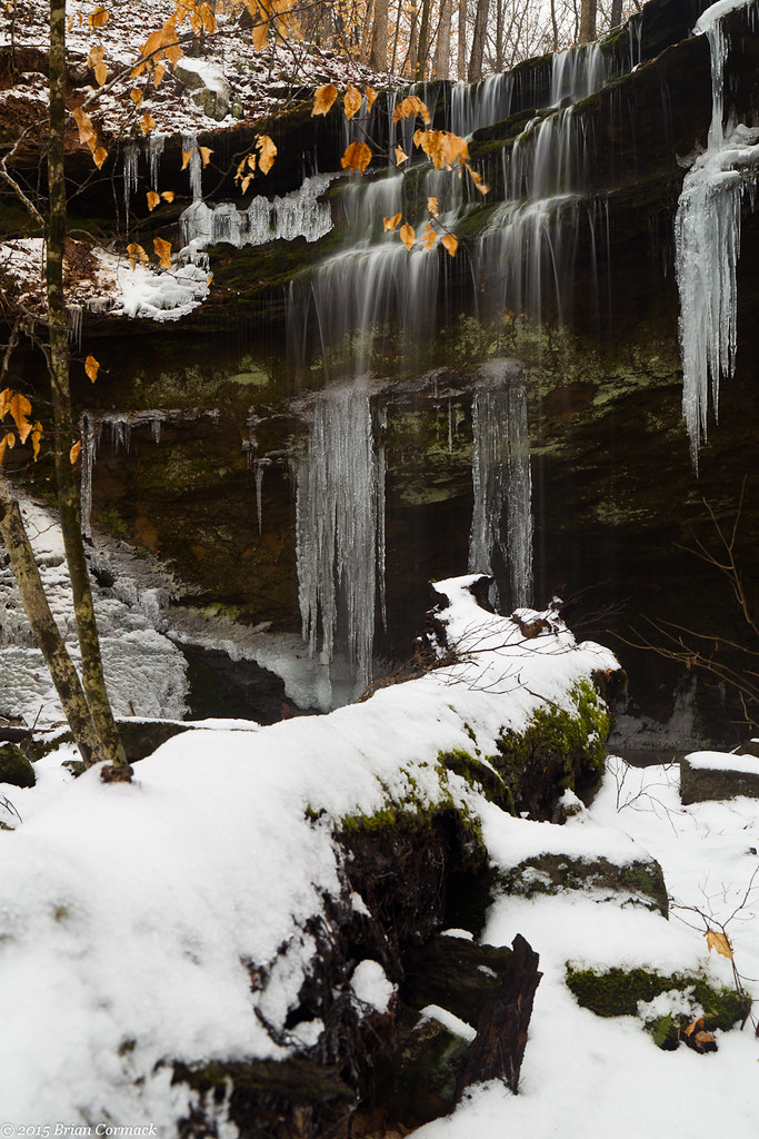
Unnamed Falls {Grotto Falls}
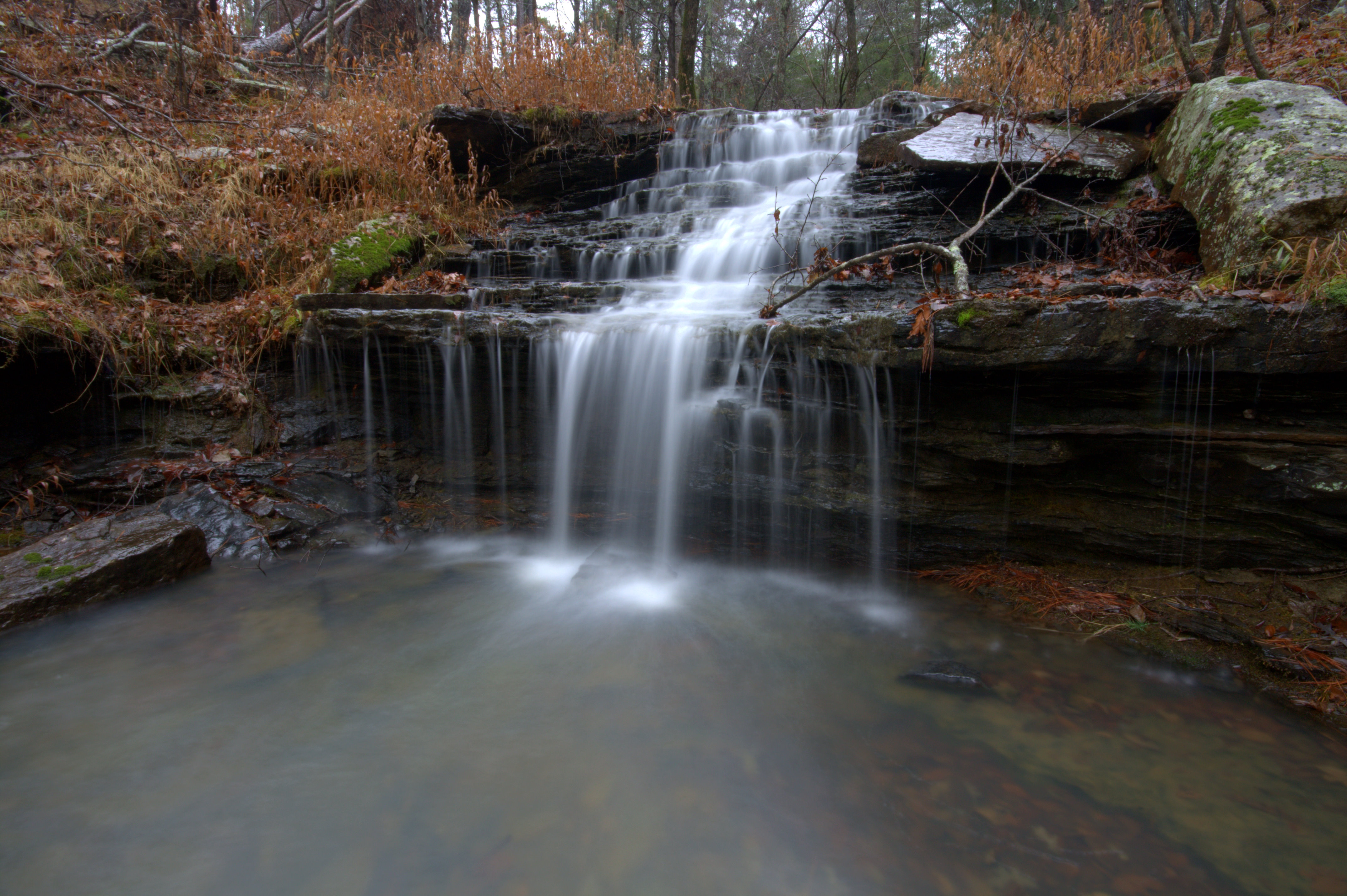
Unnamed Falls {Slippery Cascade}
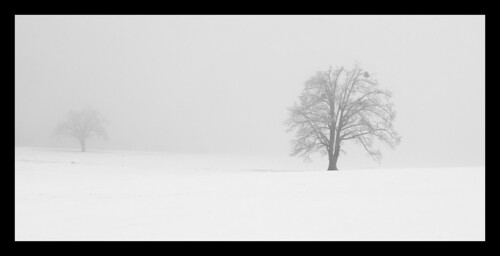
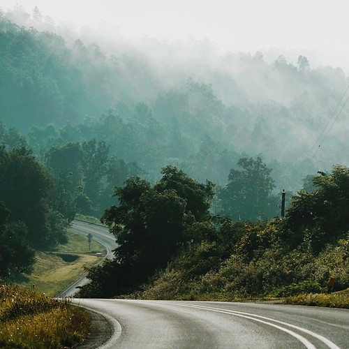
Trees in fog & snow
Topographic Map of Co Rd, Ozone, AR, USA
Find elevation by address:

Places near Co Rd, Ozone, AR, USA:
Oark
Co Rd, Pettigrew, AR, USA
Dickerson-hill Township
299 Madison 4310
1047 Co Rd 5099
1047 Co Rd 5099
2162 Madison 4845
Boston Township
Boston
1444 Madison 4685
26504 Ar-16
Garrett Mountain
AR-16, Pettigrew, AR, USA
970 Madison 3700
Pettigrew
100 Co Rd 3259
Madison, St Paul, AR, USA
Kentucky Township
West Cobb
Hilburn Township
Recent Searches:
- Elevation of Hercules Dr, Colorado Springs, CO, USA
- Elevation of Szlak pieszy czarny, Poland
- Elevation of Griffing Blvd, Biscayne Park, FL, USA
- Elevation of Kreuzburger Weg 13, Düsseldorf, Germany
- Elevation of Gateway Blvd SE, Canton, OH, USA
- Elevation of East W.T. Harris Boulevard, E W.T. Harris Blvd, Charlotte, NC, USA
- Elevation of West Sugar Creek, Charlotte, NC, USA
- Elevation of Wayland, NY, USA
- Elevation of Steadfast Ct, Daphne, AL, USA
- Elevation of Lagasgasan, X+CQH, Tiaong, Quezon, Philippines