Elevation of Co Rd, Ozone, AR, USA
Location: United States > Arkansas > Johnson County > Sherman Township > Ozone >
Longitude: -93.420225
Latitude: 35.64855
Elevation: 583m / 1913feet
Barometric Pressure: 95KPa
Elevation Map:
Satellite Map:
Related Photos:
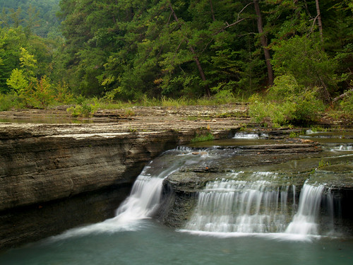
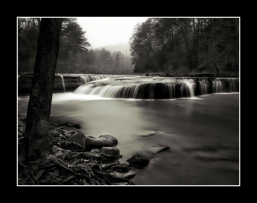
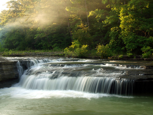
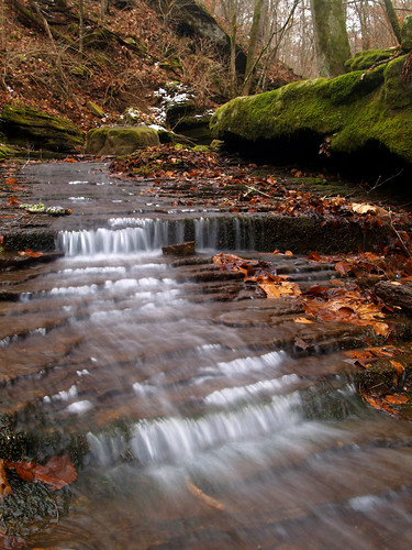
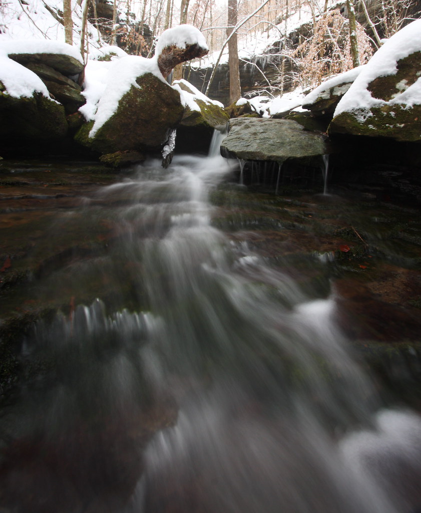
Haw Creek Falls
Haw Creek Falls
Haw Creek Falls
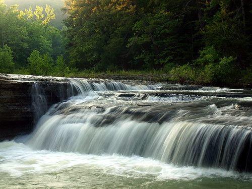
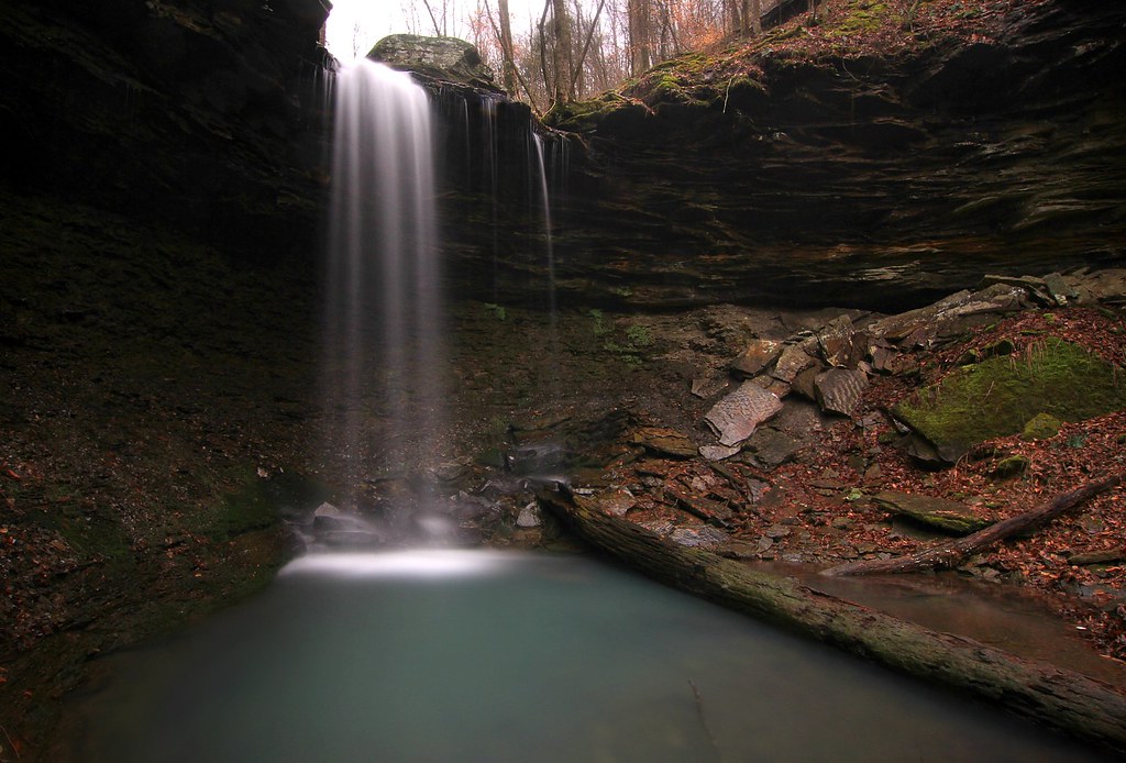
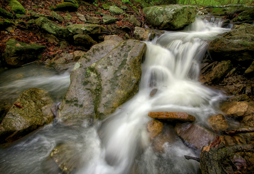
Ozarks Fall

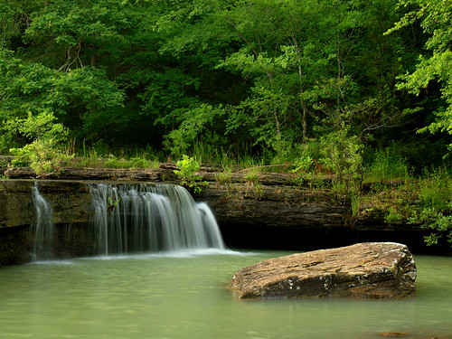
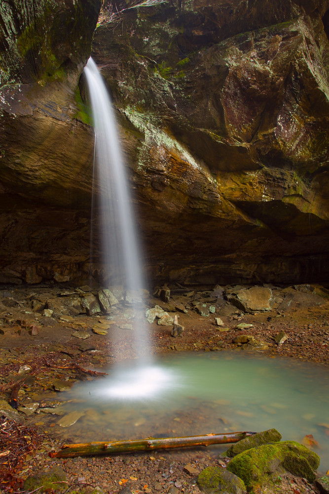
Pam's Grotto
Haw Creek Falls
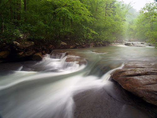
Haw Creek
Pack Rat Falls
...reducing boulders to pebbles, pebbles to sand...

water / time

Haw Creek
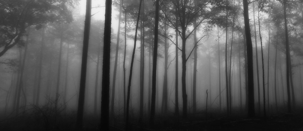
Smoke on the water
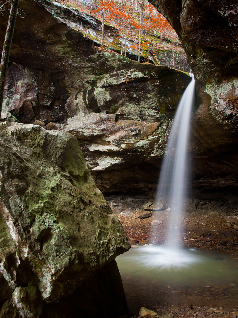
Pam's Grotto Falls

Water over time
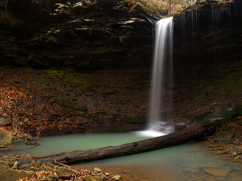
Pack Rat Falls
Highway 123 Falls
Cascade by Pack Rat Falls
Downstream from Pam's Grotto

Pam's Grotto
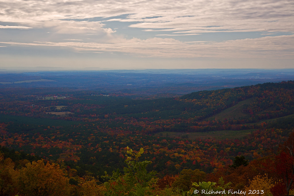
Out Waterfallin'

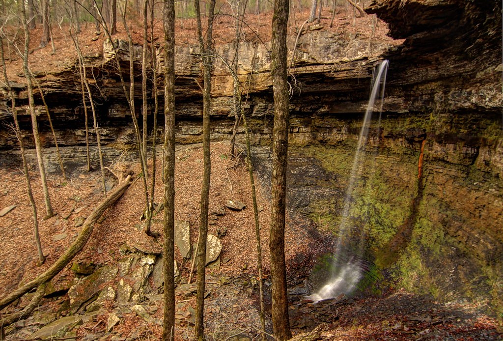
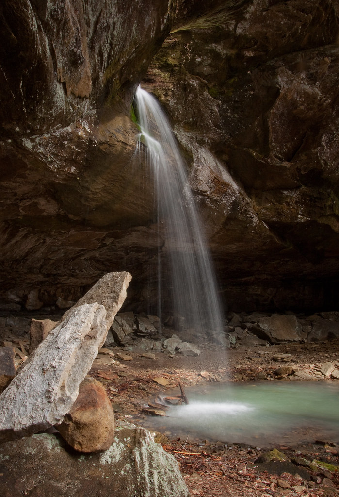
Hole in the Rock Falls (Zadock Historical)

Hole in the Rock Falls
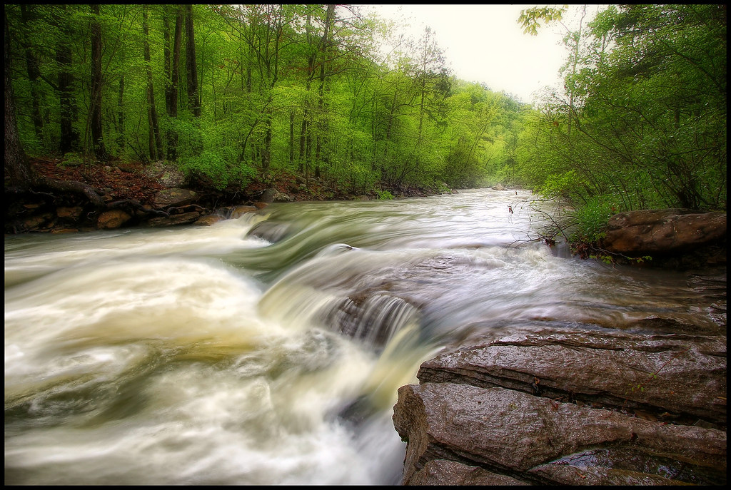
Haw creek
natural attention
going with the flow
Topographic Map of Co Rd, Ozone, AR, USA
Find elevation by address:

Places near Co Rd, Ozone, AR, USA:
Co Rd, Ozone, AR, USA
AR-21, Ozone, AR, USA
Ozone
Sherman Township
Co Rd, Ozone, AR, USA
18626 Ar-21
19984 Ar-21
Co Rd, Hagarville, AR, USA
Red Lick Township
21923 Ar-21
AR-21, Ozone, AR, USA
Johnson County
Mount Zion
Co Rd, Hagarville, AR, USA
Boston Mountains
State Hwy, Clarksville, AR, USA
Mulberry Township
Co Rd, Ozone, AR, USA
Perry Township
Parking For Arkansas Sphinx
Recent Searches:
- Elevation of Woodland Oak Pl, Thousand Oaks, CA, USA
- Elevation of Brownsdale Rd, Renfrew, PA, USA
- Elevation of Corcoran Ln, Suffolk, VA, USA
- Elevation of Mamala II, Sariaya, Quezon, Philippines
- Elevation of Sarangdanda, Nepal
- Elevation of 7 Waterfall Way, Tomball, TX, USA
- Elevation of SW 57th Ave, Portland, OR, USA
- Elevation of Crocker Dr, Vacaville, CA, USA
- Elevation of Pu Ngaol Community Meeting Hall, HWHM+3X7, Krong Saen Monourom, Cambodia
- Elevation of Royal Ontario Museum, Queens Park, Toronto, ON M5S 2C6, Canada