Elevation of Co Rd, Ozone, AR, USA
Location: United States > Arkansas > Johnson County > Sherman Township > Ozone >
Longitude: -93.462064
Latitude: 35.642873
Elevation: 556m / 1824feet
Barometric Pressure: 95KPa
Elevation Map:
Satellite Map:
Related Photos:
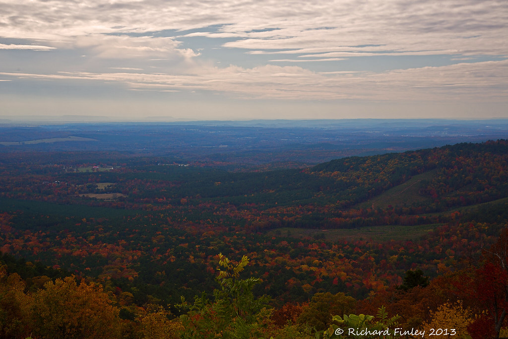
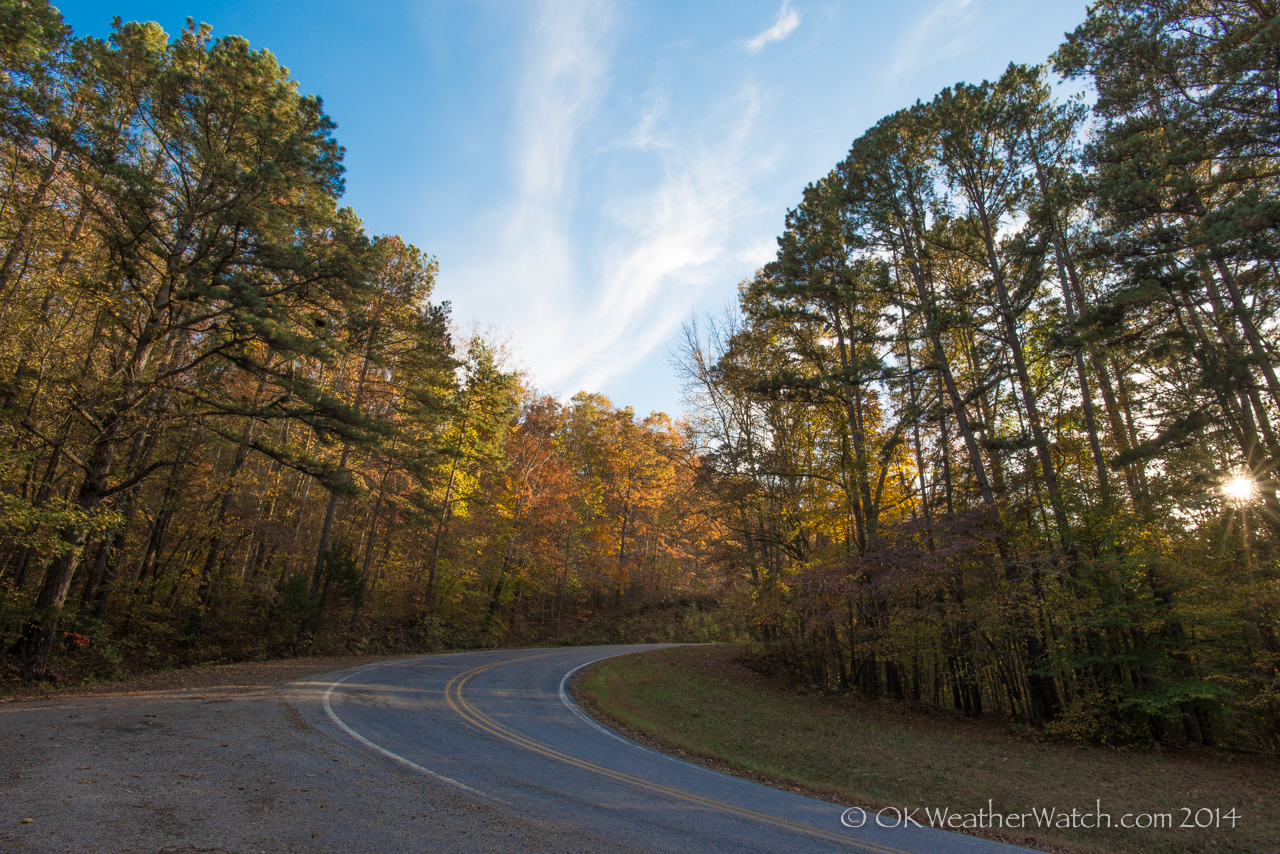
Ozarks Fall
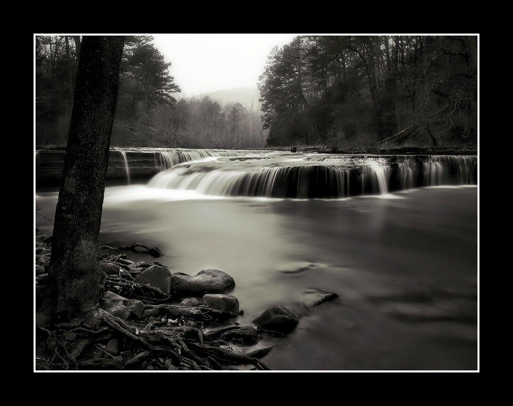
Haw Creek Falls
Hwy. 123 Falls
Highway 123 Falls
Highway 123 Falls
We're conditioned to believe that we're missing out on something.
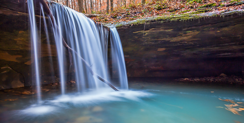
Double Waterfall with a double leaf swirly on an unnamed creek somewhere in the Ozarks

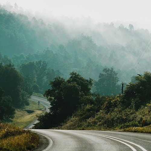
Creek under Highway 103
Unnamed falls on an unnamed creek
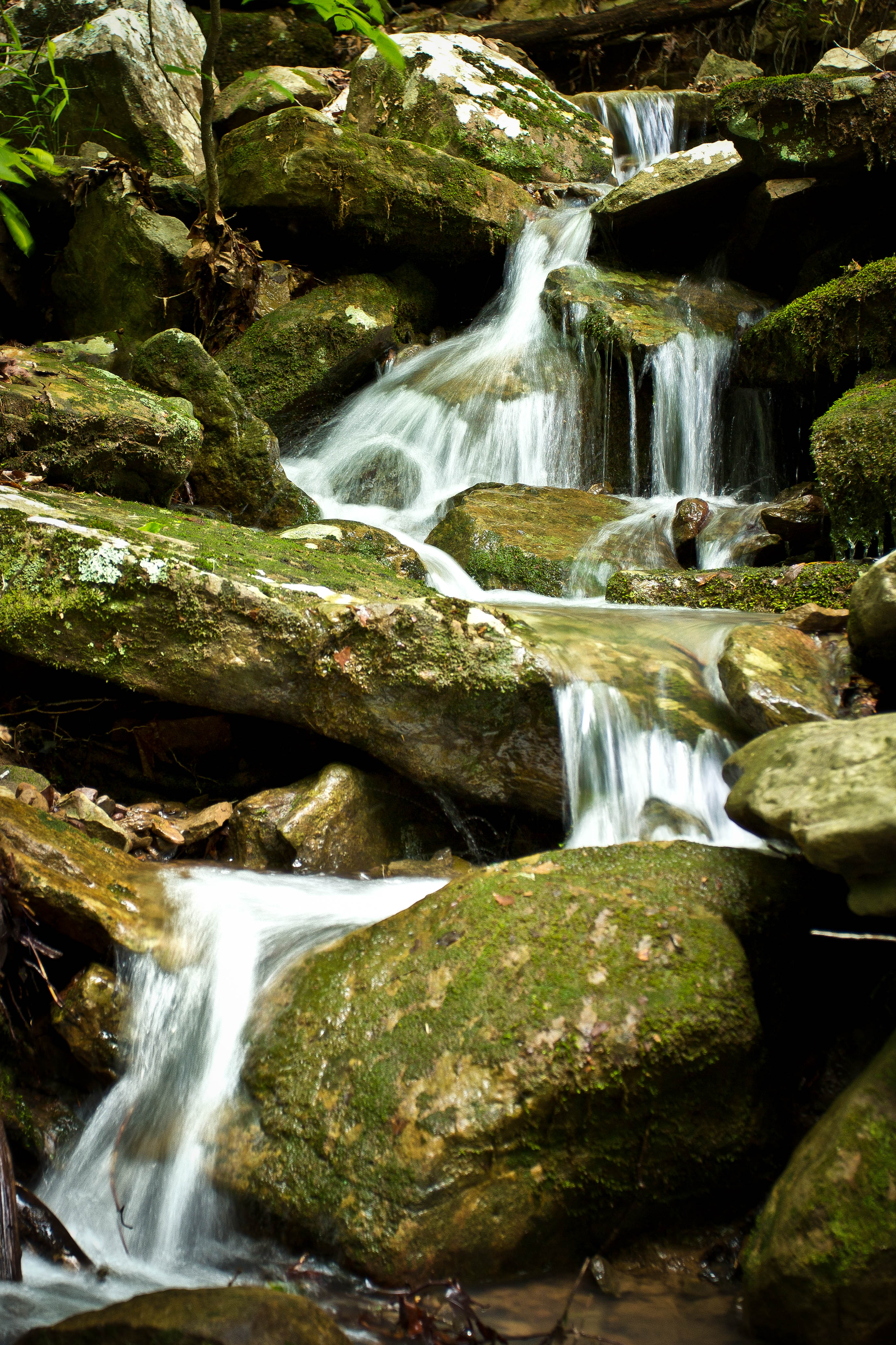
High Bank Twins creek
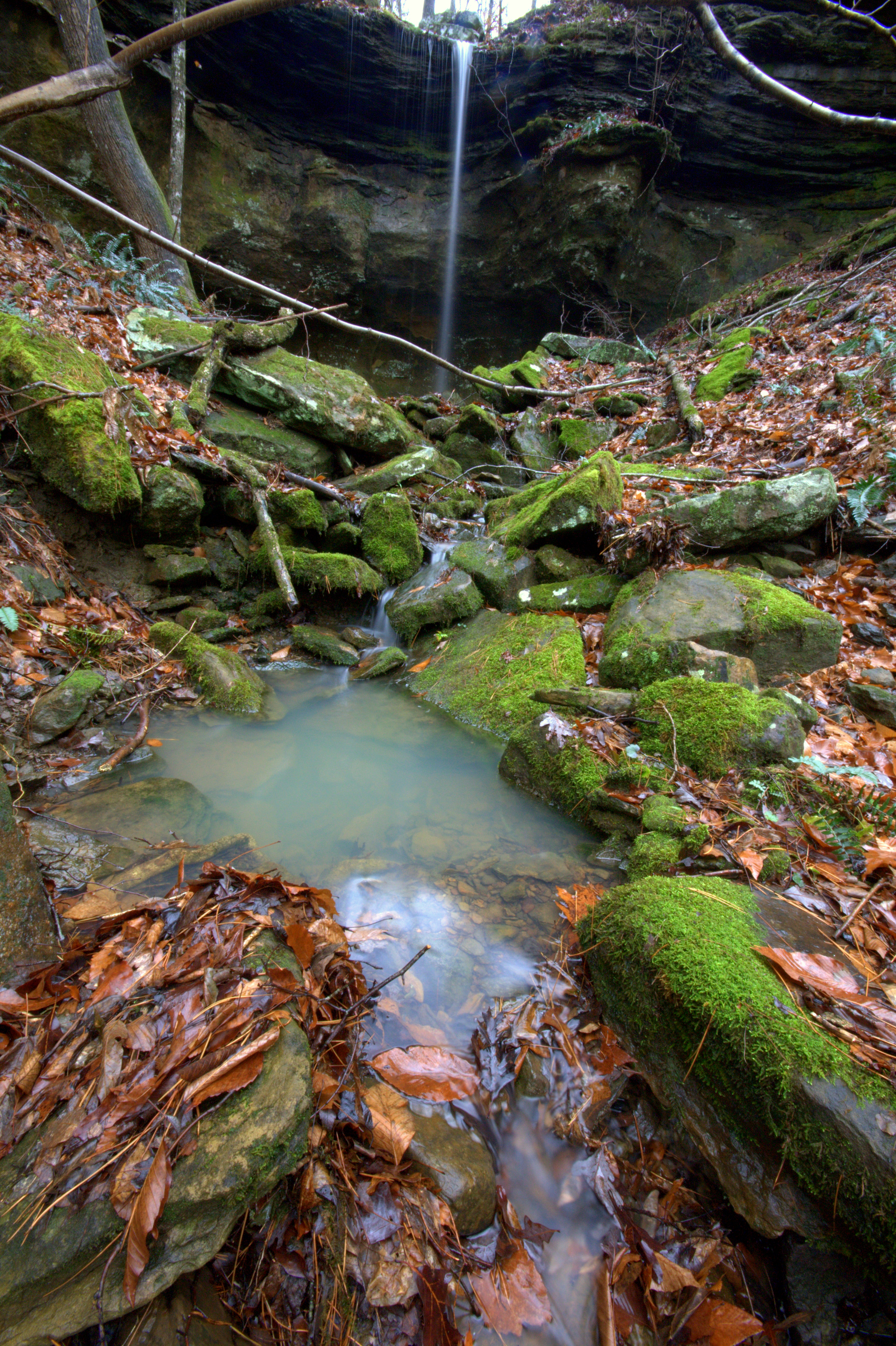
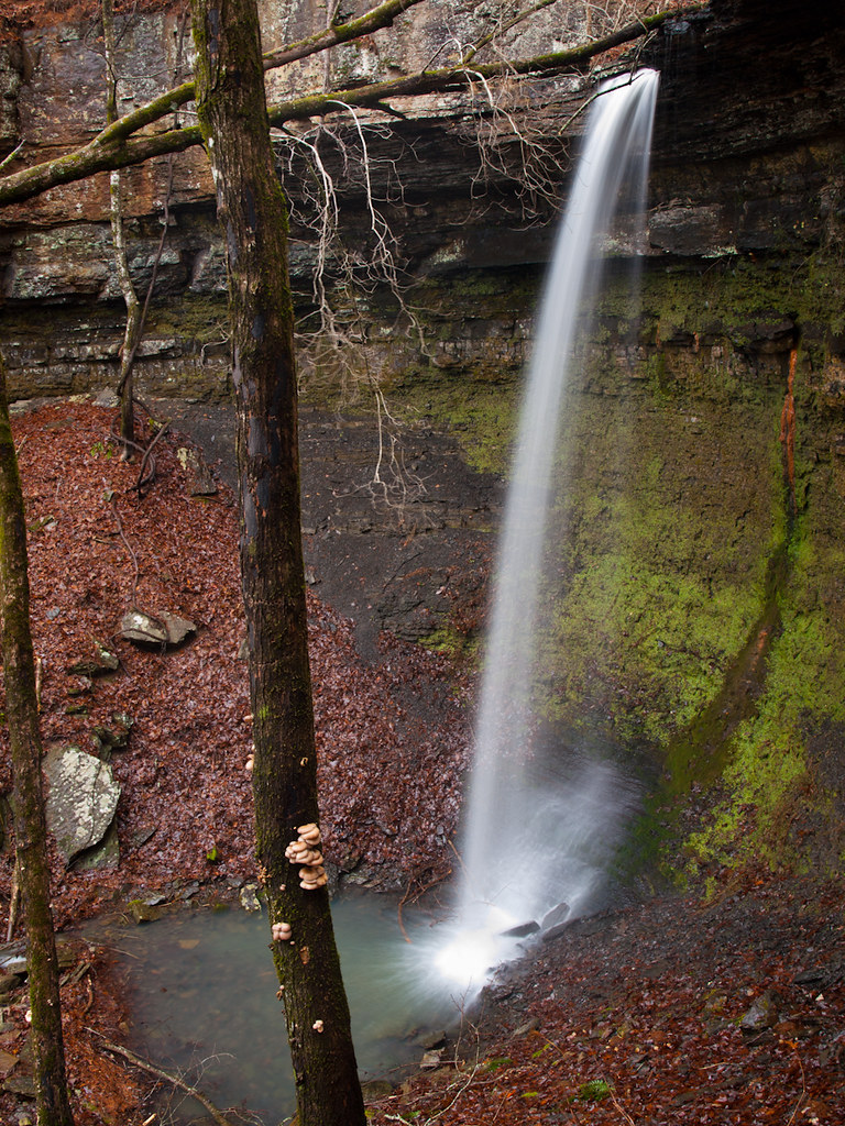
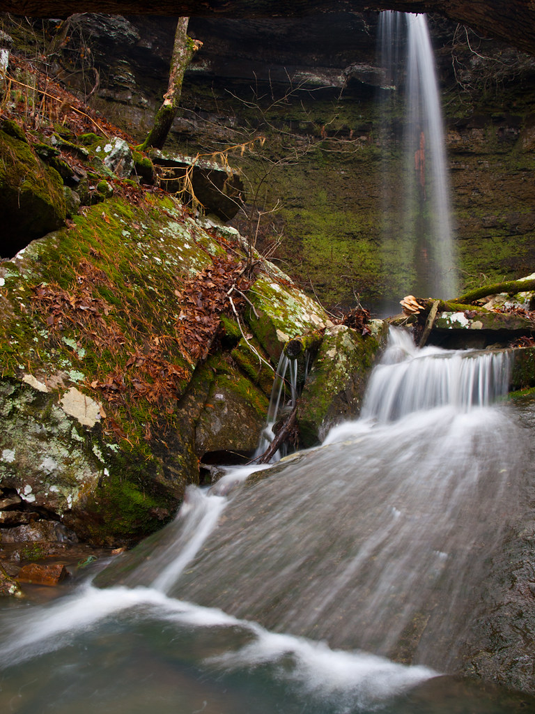
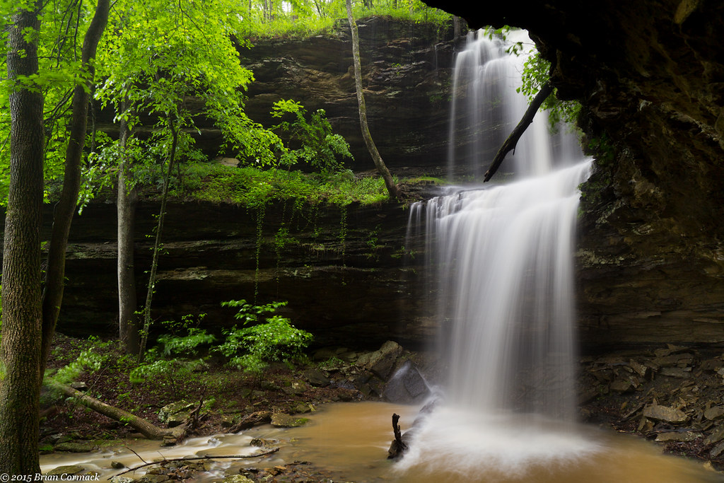
Unnamed Falls {Grotto Falls}
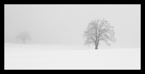
Trees in fog & snow
Unnamed Falls {Slippery Cascade}
Highway 103
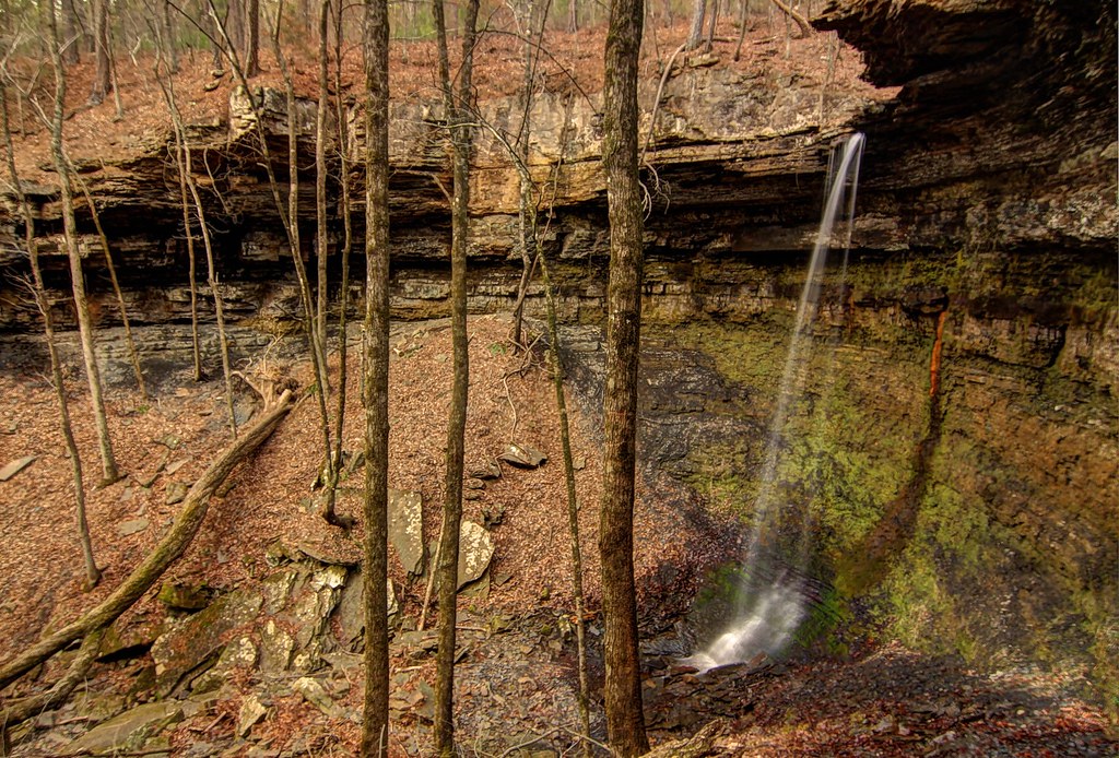
Short Grotto Falls
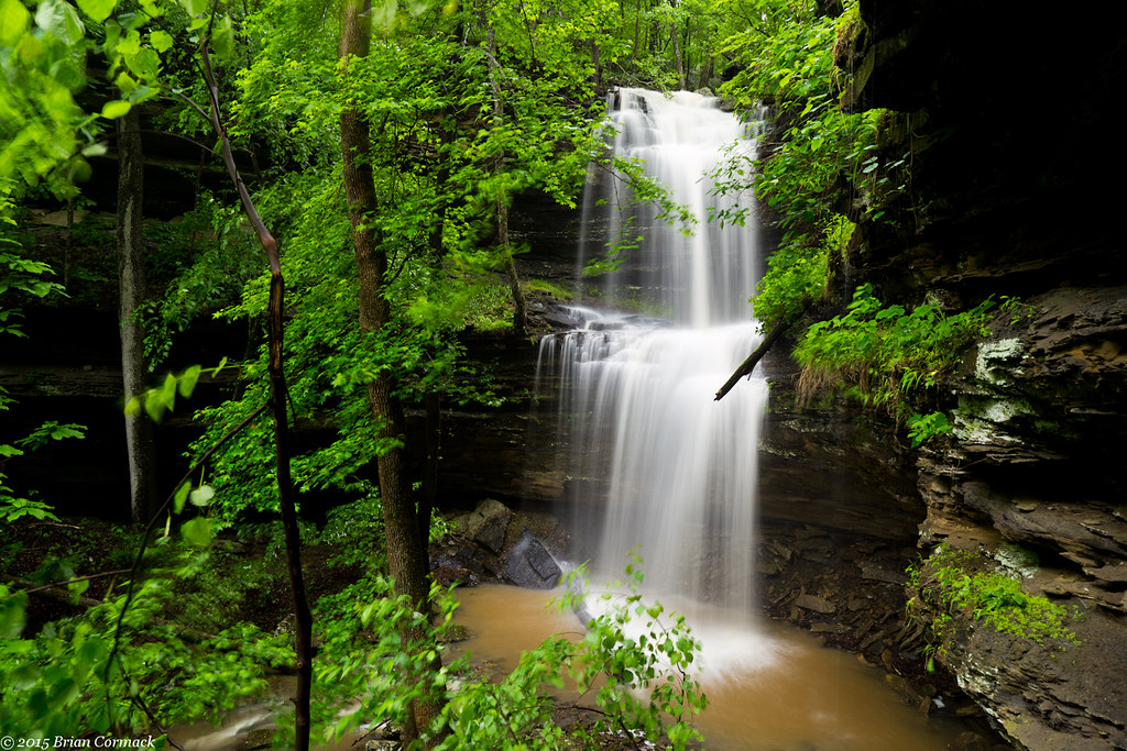
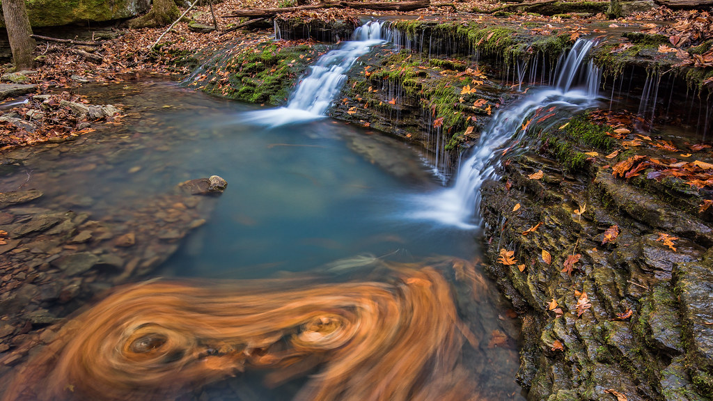
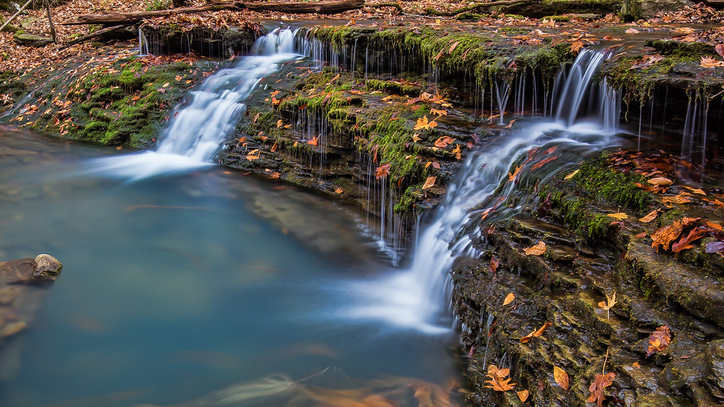
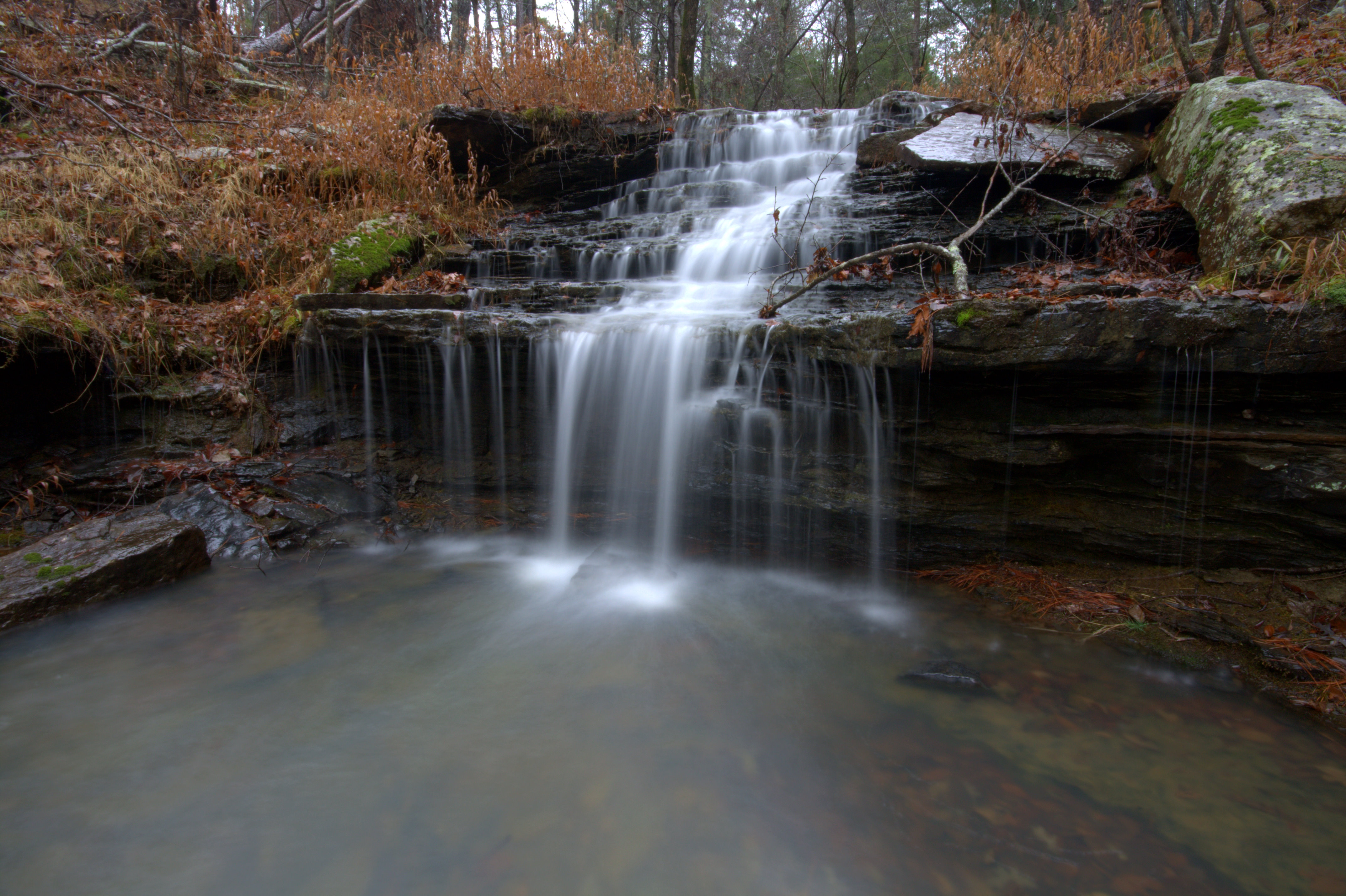
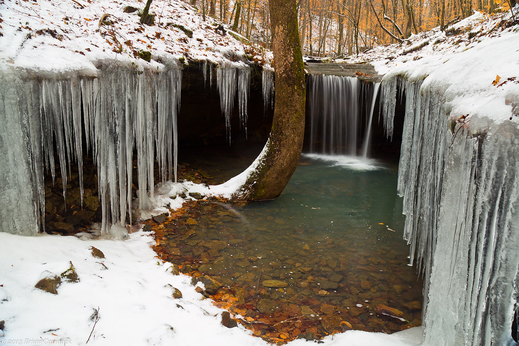
Acord Hollow Falls
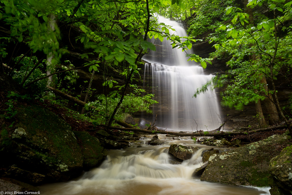
Acord Hollow Falls
Acord Hollow Falls
Short Grotto Falls
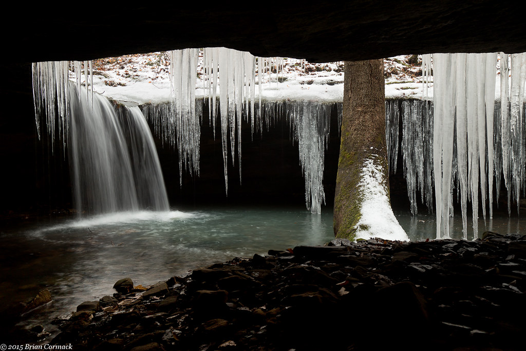
Short Grotto Falls

Acord Hollow
Topographic Map of Co Rd, Ozone, AR, USA
Find elevation by address:

Places near Co Rd, Ozone, AR, USA:
Ozone
AR-21, Ozone, AR, USA
Sherman Township
Co Rd, Ozone, AR, USA
Co Rd, Ozone, AR, USA
Johnson County
18626 Ar-21
19984 Ar-21
Mulberry Township
Red Lick Township
Co Rd, Ozone, AR, USA
Mount Zion
Co Rd, Hagarville, AR, USA
21923 Ar-21
AR-21, Ozone, AR, USA
State Hwy, Clarksville, AR, USA
Oark
Fallsville
Co Rd, Hagarville, AR, USA
AR-21, Clarksville, AR, USA
Recent Searches:
- Elevation of Slanický ostrov, 01 Námestovo, Slovakia
- Elevation of Spaceport America, Co Rd A, Truth or Consequences, NM, USA
- Elevation of Warwick, RI, USA
- Elevation of Fern Rd, Whitmore, CA, USA
- Elevation of 62 Abbey St, Marshfield, MA, USA
- Elevation of Fernwood, Bradenton, FL, USA
- Elevation of Felindre, Swansea SA5 7LU, UK
- Elevation of Leyte Industrial Development Estate, Isabel, Leyte, Philippines
- Elevation of W Granada St, Tampa, FL, USA
- Elevation of Pykes Down, Ivybridge PL21 0BY, UK