Elevation of State Hwy, Clarksville, AR, USA
Location: United States > Arkansas > Johnson County > Red Lick Township >
Longitude: -93.431529
Latitude: 35.5422278
Elevation: 235m / 771feet
Barometric Pressure: 99KPa
Elevation Map:
Satellite Map:
Related Photos:

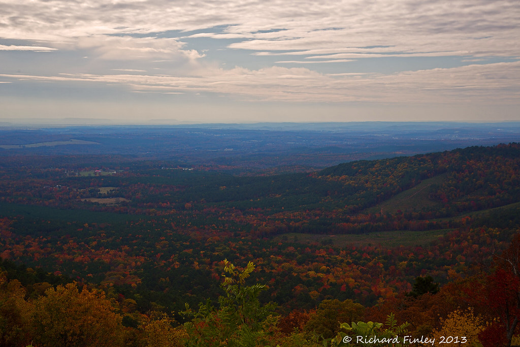
Hagarville, AR Country Store
Ozarks Fall
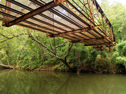
Spadra Creek
So Many Dragons
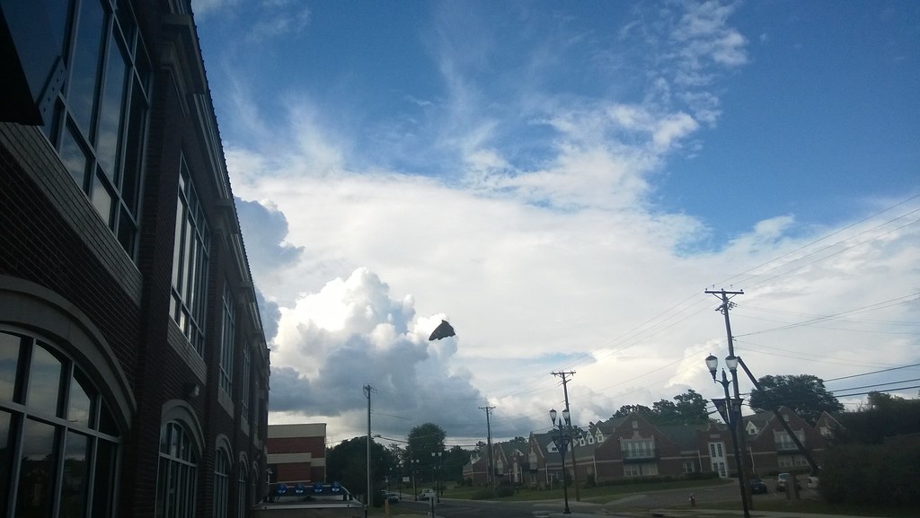
North Street view

Hole in the Rock Falls (Zadock Historical)

Hole in the Rock Falls
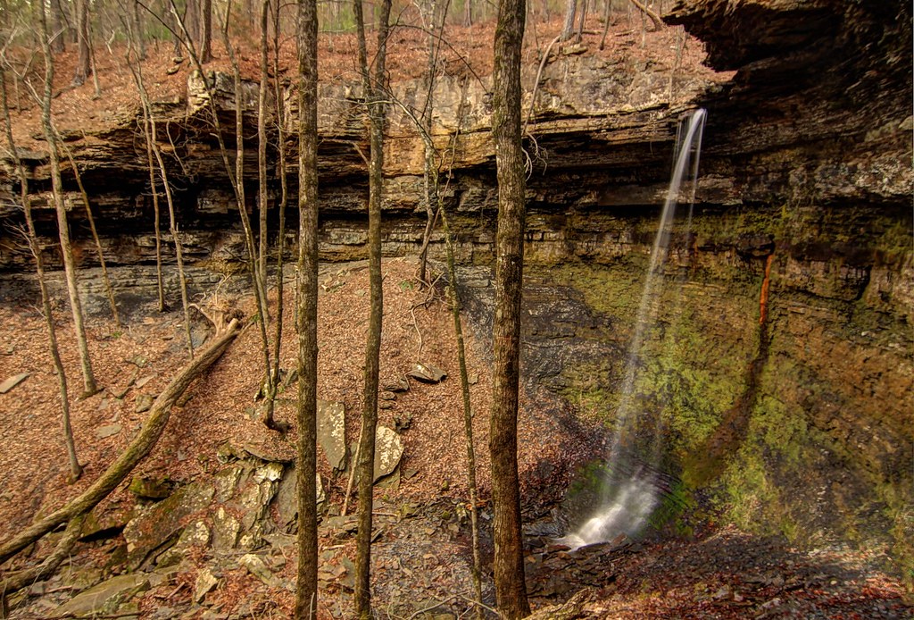
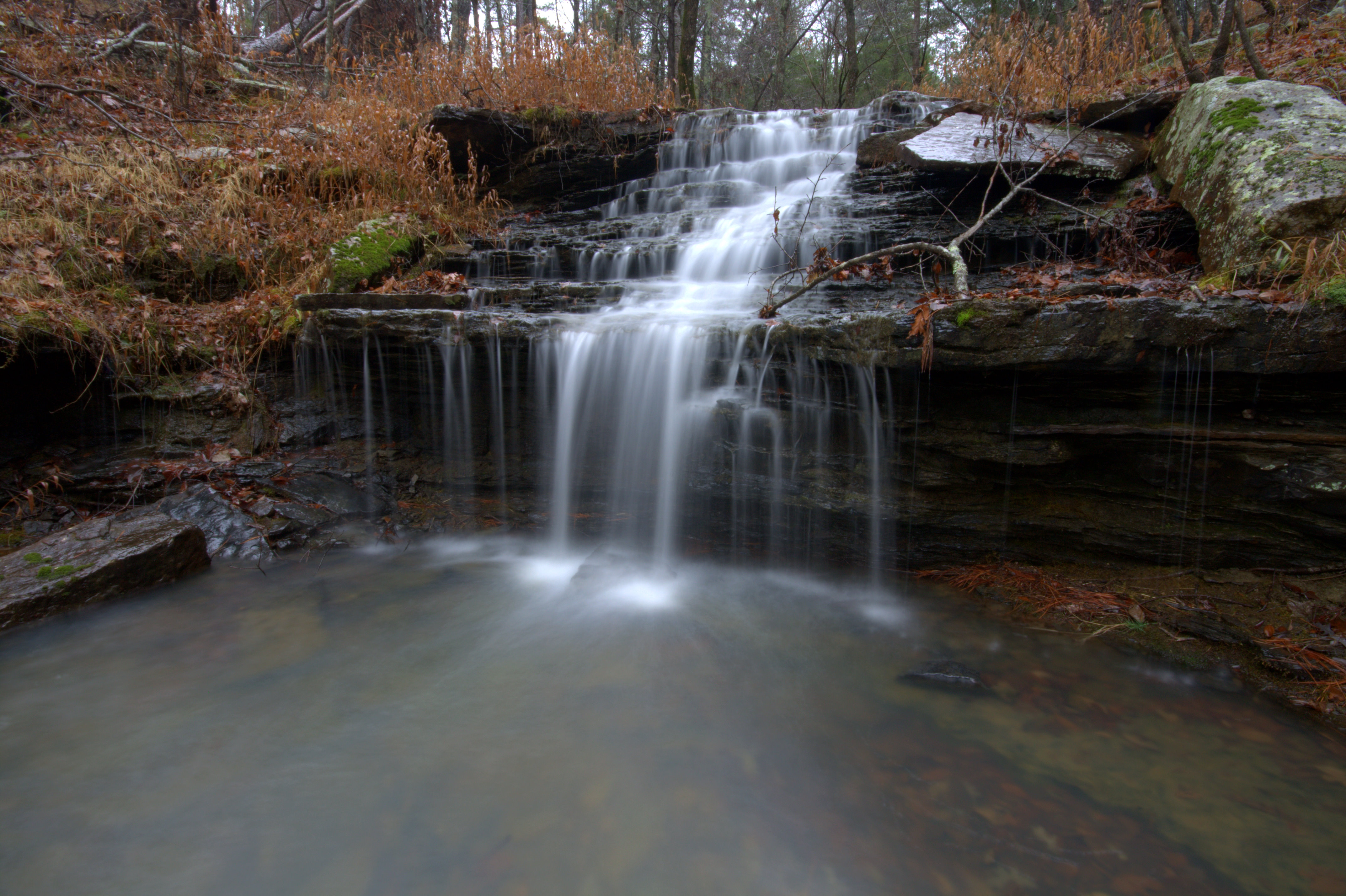
Highway 123 Falls
We're conditioned to believe that we're missing out on something.
20151007_184203_Richtone(HDR)
A new morning — a fresh start
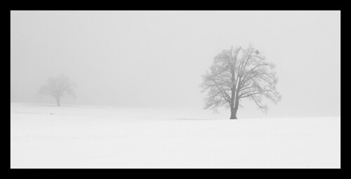
Trees in fog & snow
Unnamed Falls {Slippery Cascade}
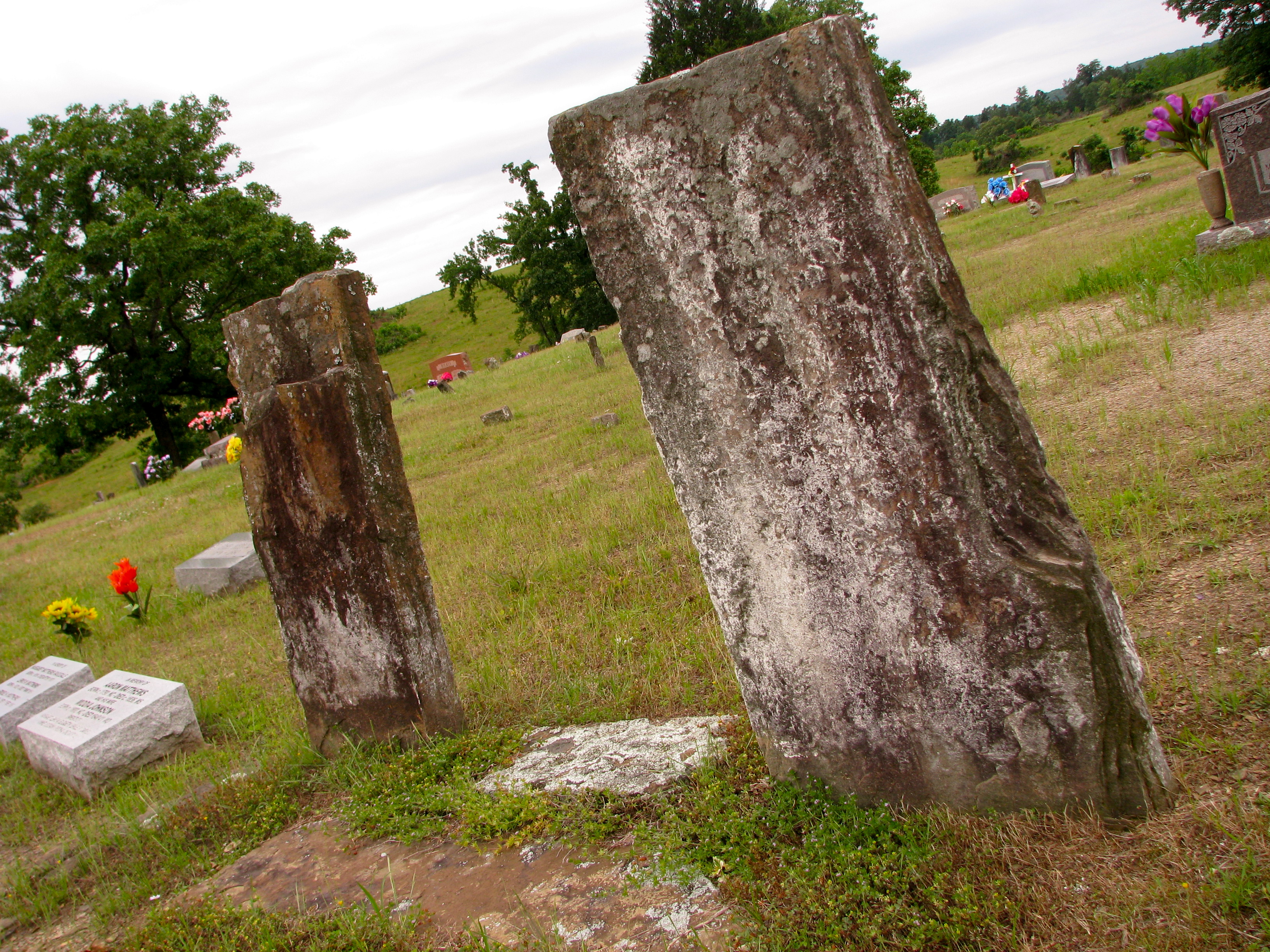
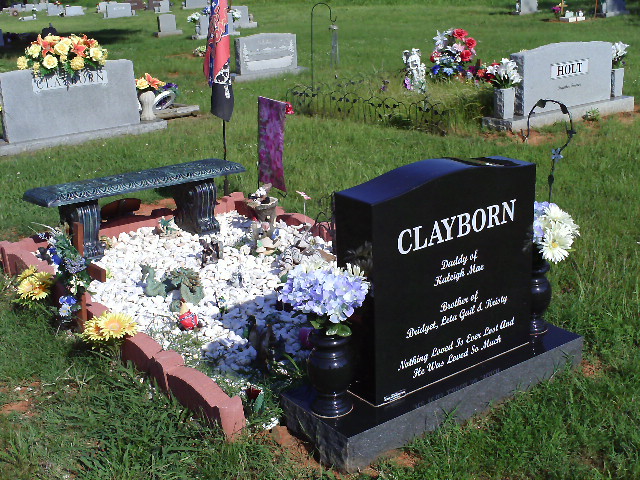
Original Graves of Jacob and Margaret (Garrett) Johnson
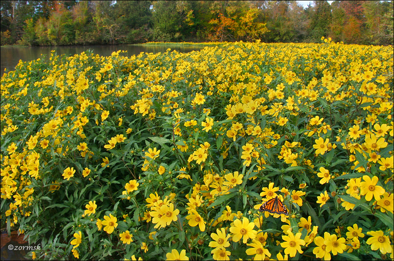
Spot of orange (3765a)

Minnow Creek
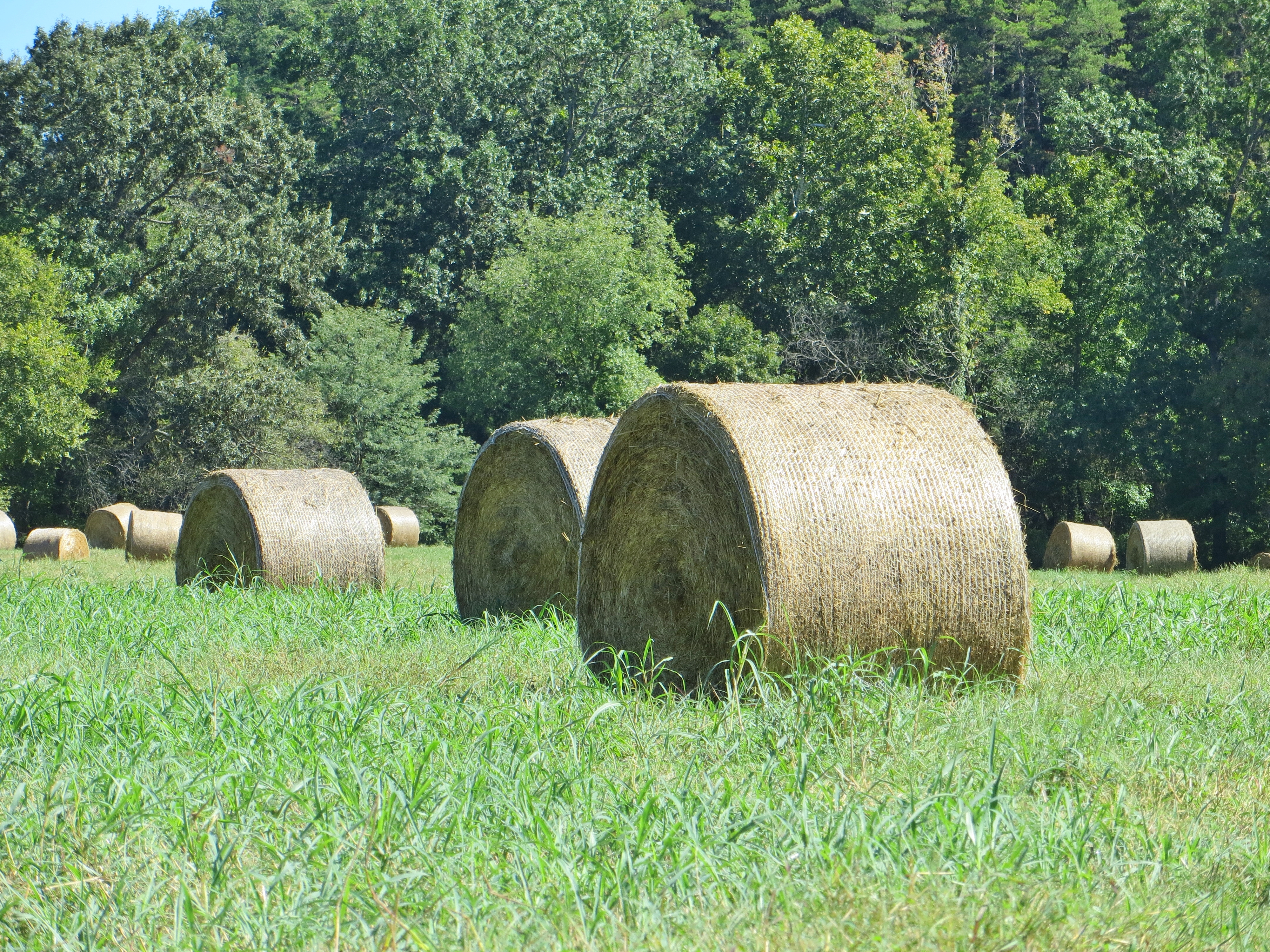
Hay Field
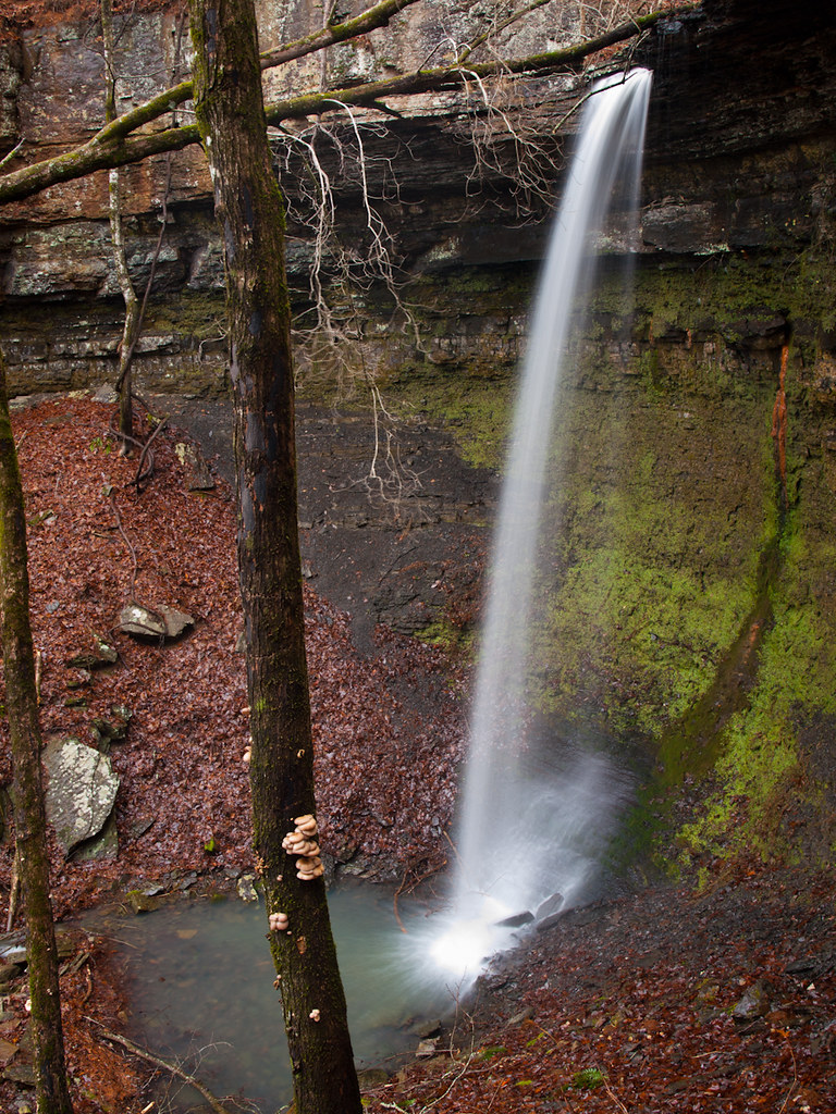
Hwy. 123 Falls
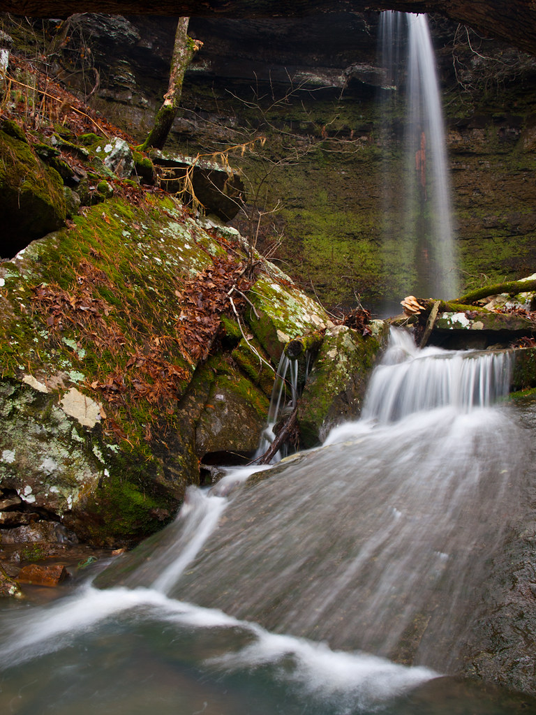
Highway 123 Falls
Topographic Map of State Hwy, Clarksville, AR, USA
Find elevation by address:

Places near State Hwy, Clarksville, AR, USA:
Mount Zion
Red Lick Township
AR-21, Clarksville, AR, USA
Spadra Township
University Of The Ozarks
Central Street
Central Street
Clarksville
Johnson County
AR-21, Ozone, AR, USA
Ozone
Co Rd, Ozone, AR, USA
Wise Rd, Clarksville, AR, USA
Co Rd, Ozone, AR, USA
771 Co Rd 3790
Co Rd, Ozone, AR, USA
Hagarville
Lamar
Pittsburg Township
Sherman Township
Recent Searches:
- Elevation of Woodland Oak Pl, Thousand Oaks, CA, USA
- Elevation of Brownsdale Rd, Renfrew, PA, USA
- Elevation of Corcoran Ln, Suffolk, VA, USA
- Elevation of Mamala II, Sariaya, Quezon, Philippines
- Elevation of Sarangdanda, Nepal
- Elevation of 7 Waterfall Way, Tomball, TX, USA
- Elevation of SW 57th Ave, Portland, OR, USA
- Elevation of Crocker Dr, Vacaville, CA, USA
- Elevation of Pu Ngaol Community Meeting Hall, HWHM+3X7, Krong Saen Monourom, Cambodia
- Elevation of Royal Ontario Museum, Queens Park, Toronto, ON M5S 2C6, Canada