Elevation of Red Lick Township, AR, USA
Location: United States > Arkansas > Johnson County >
Longitude: -93.429644
Latitude: 35.5718719
Elevation: 281m / 922feet
Barometric Pressure: 98KPa
Elevation Map:
Satellite Map:
Related Photos:

Hagarville, AR Country Store
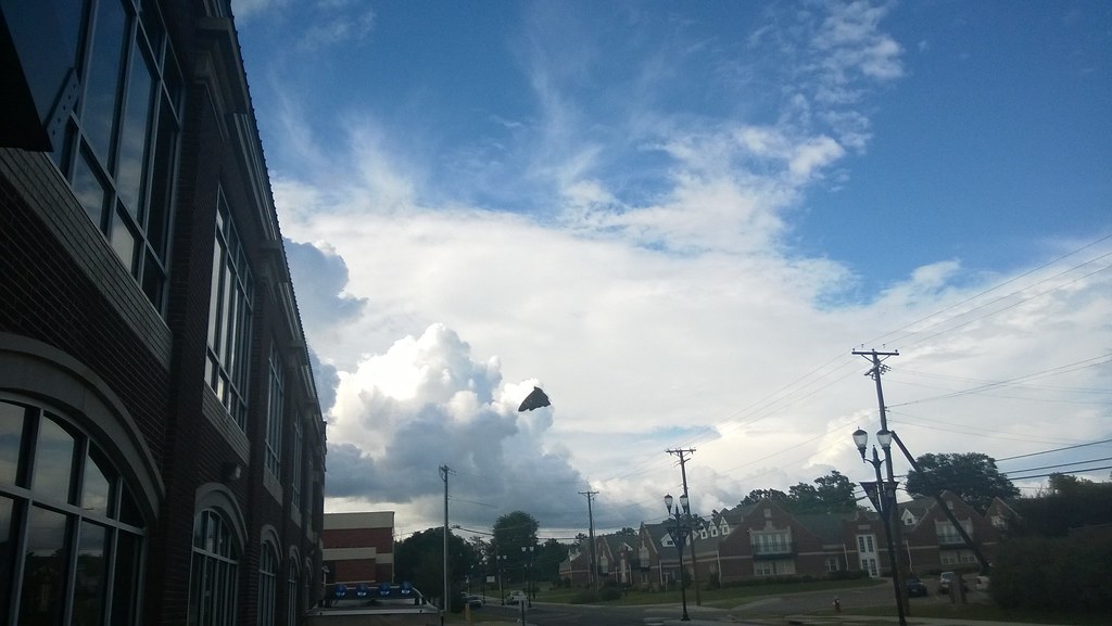
North Street view
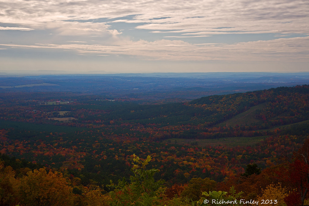
Ozarks Fall
Spadra Creek
So Many Dragons
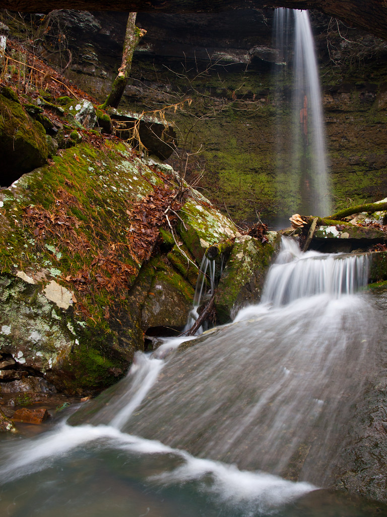
Out Waterfallin'

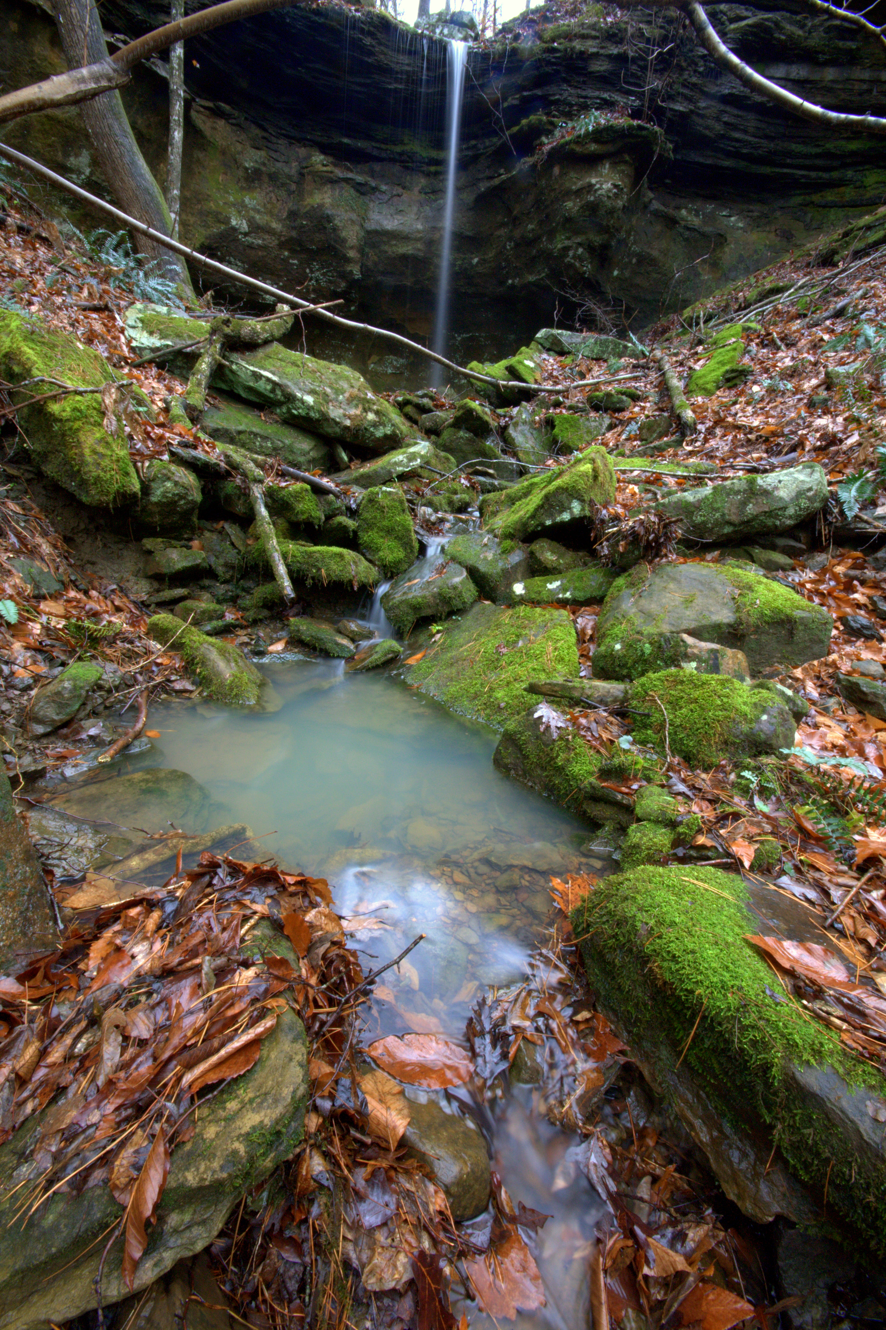
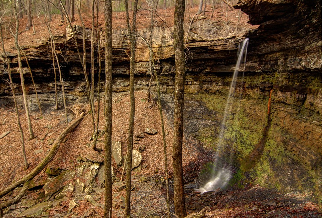
Hole in the Rock Falls (Zadock Historical)

Hole in the Rock Falls
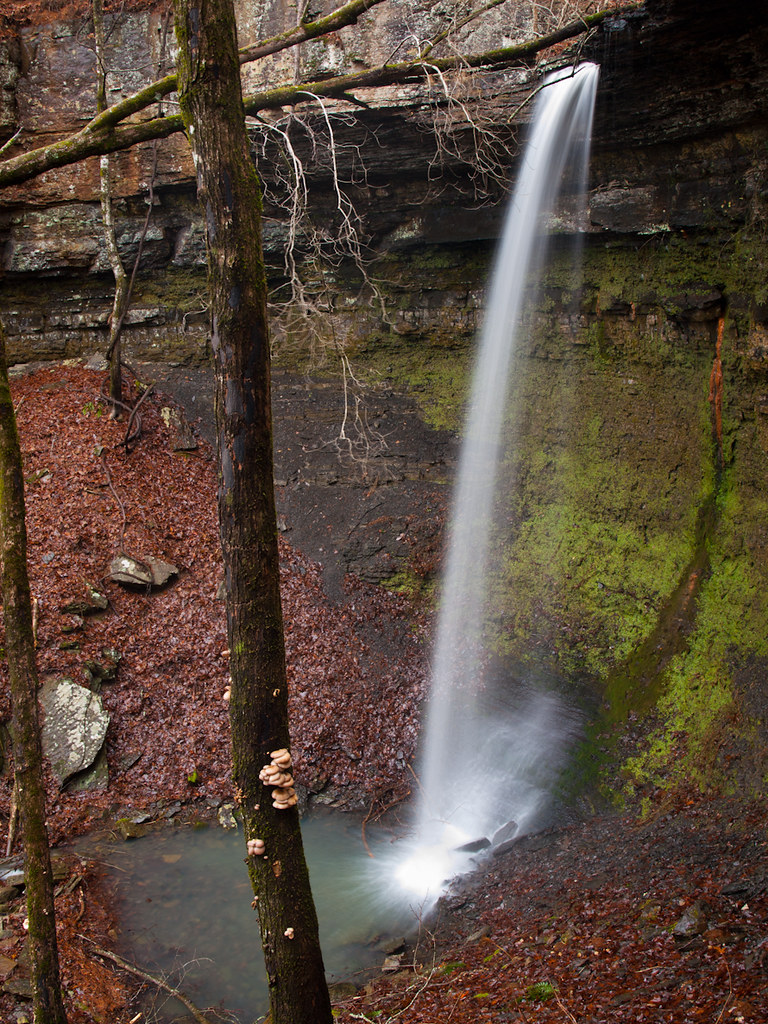
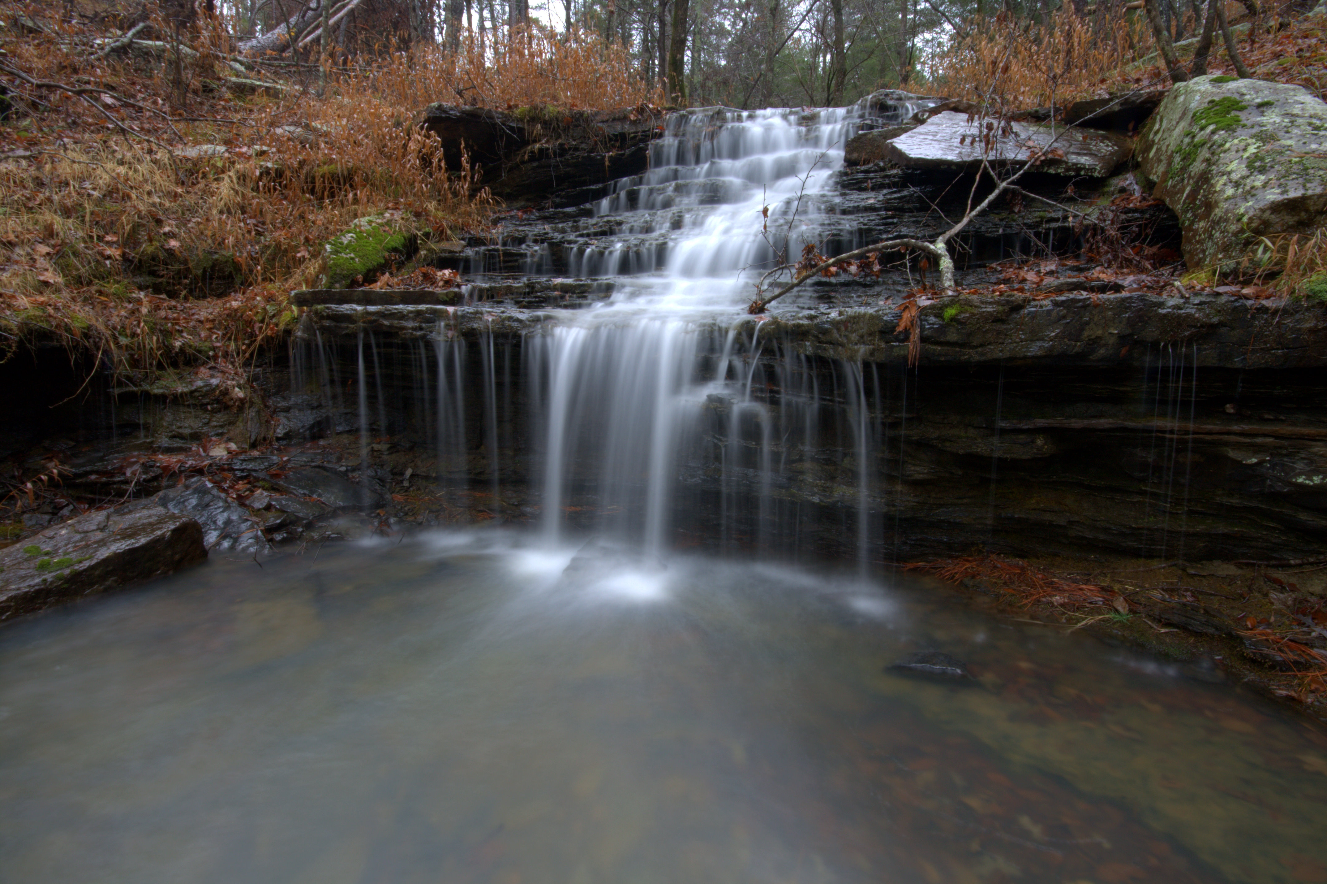
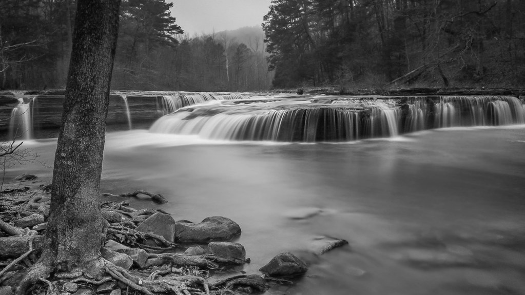
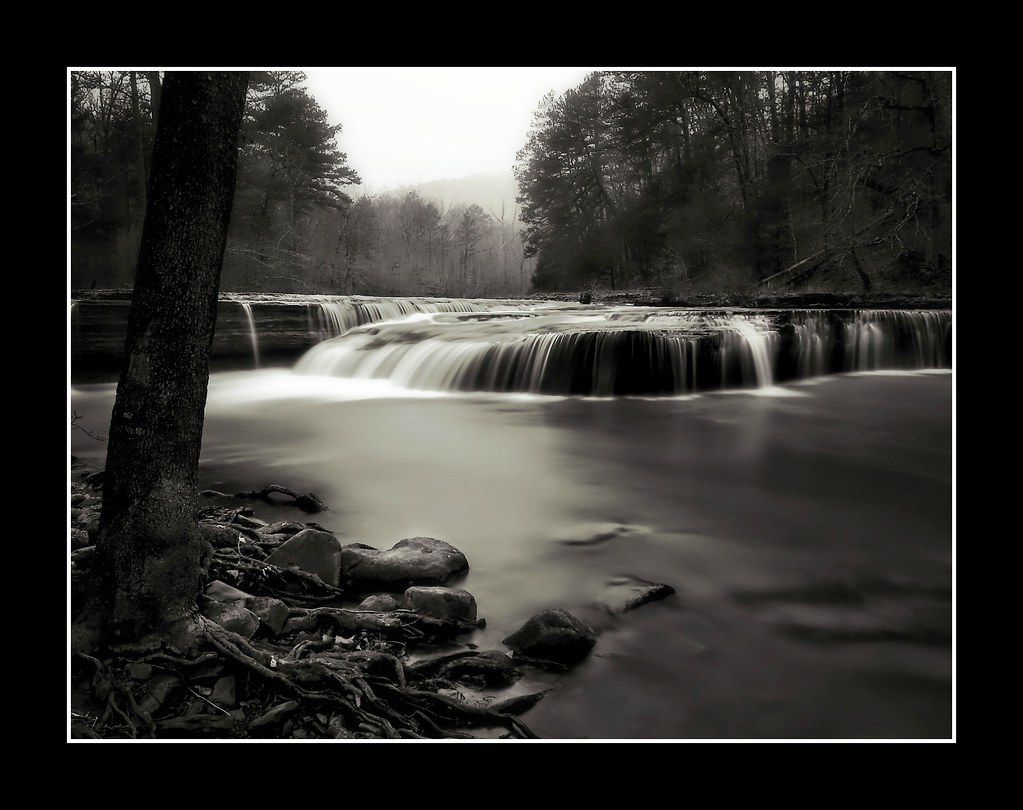
Hwy. 123 Falls
Highway 123 Falls
We're conditioned to believe that we're missing out on something.
Unnamed Falls {Grotto Falls}
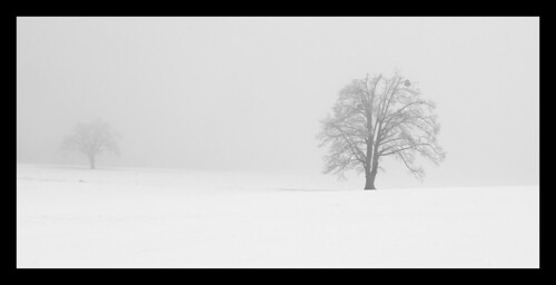
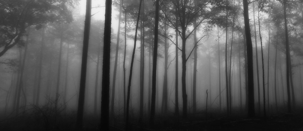
Trees in fog & snow
Unnamed Falls {Slippery Cascade}
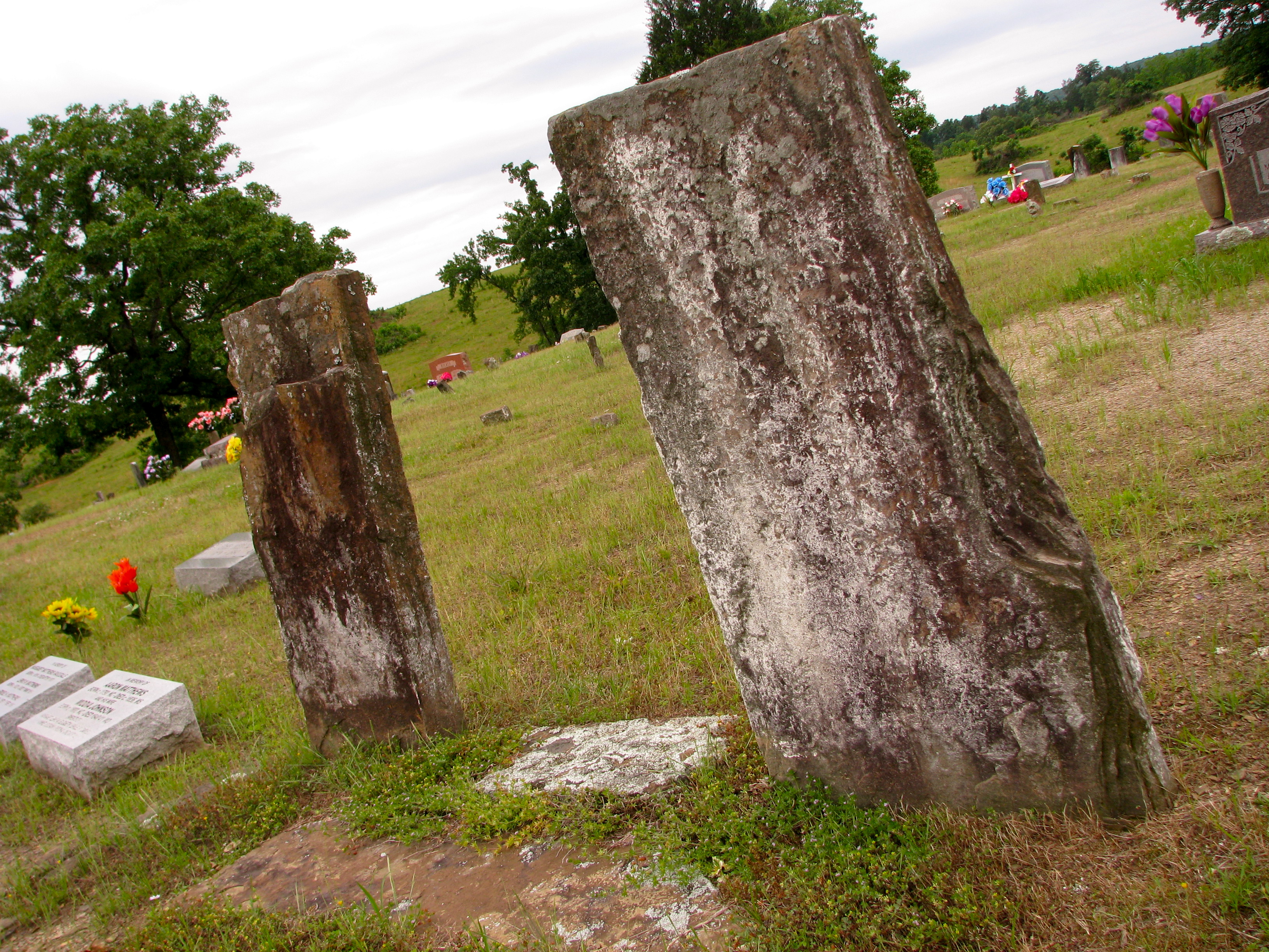
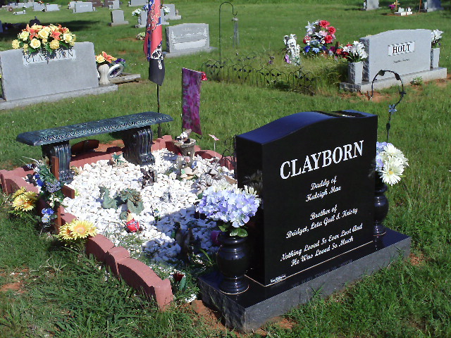
Original Graves of Jacob and Margaret (Garrett) Johnson

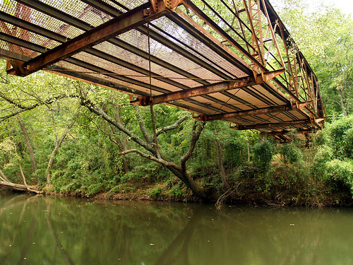
Minnow Creek
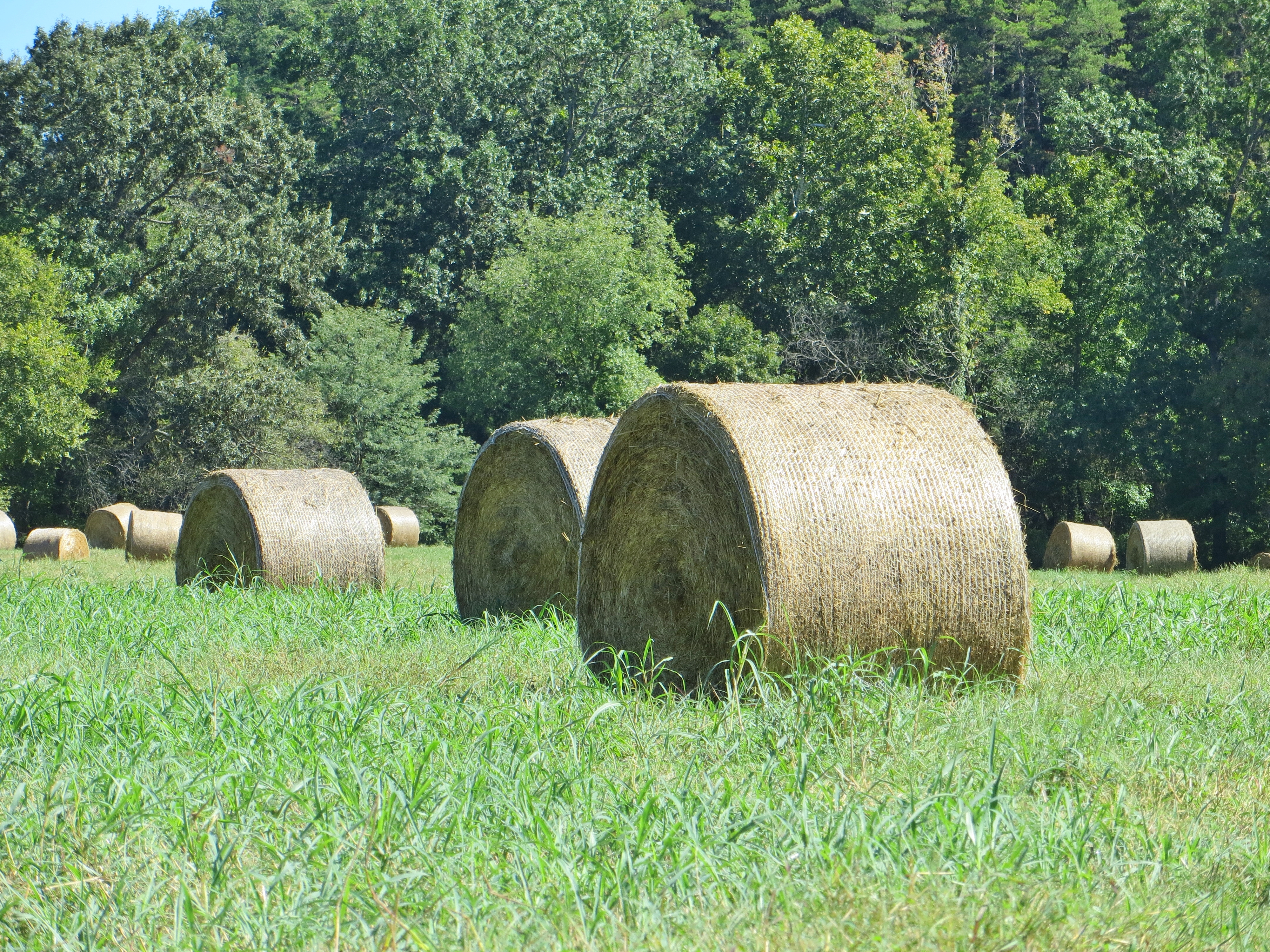
Hay Field
Haw Creek Falls
Haw Creek Falls
Highway 123 Falls
Topographic Map of Red Lick Township, AR, USA
Find elevation by address:

Places in Red Lick Township, AR, USA:
Places near Red Lick Township, AR, USA:
Mount Zion
State Hwy, Clarksville, AR, USA
AR-21, Clarksville, AR, USA
AR-21, Ozone, AR, USA
Ozone
Co Rd, Ozone, AR, USA
Johnson County
Co Rd, Ozone, AR, USA
Co Rd, Ozone, AR, USA
Spadra Township
Sherman Township
University Of The Ozarks
Central Street
Central Street
771 Co Rd 3790
Clarksville
Co Rd, Hagarville, AR, USA
18626 Ar-21
Hagarville
19984 Ar-21
Recent Searches:
- Elevation of Pykes Down, Ivybridge PL21 0BY, UK
- Elevation of Jalan Senandin, Lutong, Miri, Sarawak, Malaysia
- Elevation of Bilohirs'k
- Elevation of 30 Oak Lawn Dr, Barkhamsted, CT, USA
- Elevation of Luther Road, Luther Rd, Auburn, CA, USA
- Elevation of Unnamed Road, Respublika Severnaya Osetiya — Alaniya, Russia
- Elevation of Verkhny Fiagdon, North Ossetia–Alania Republic, Russia
- Elevation of F. Viola Hiway, San Rafael, Bulacan, Philippines
- Elevation of Herbage Dr, Gulfport, MS, USA
- Elevation of Lilac Cir, Haldimand, ON N3W 2G9, Canada